The best MTB trails around Whittier
4.8
(153)
485
riders
30
rides
Mountain biking around Whittier, California, offers routes through rolling hills and natural preserves. The landscape features chaparral-covered hills, oak woodlands, and extensive green spaces. These areas provide varied terrain, from gentle climbs to more challenging ascents, suitable for different skill levels. The region includes multi-use trails within areas like the Puente Hills Preserve and Schabarum Regional Park.
Best mountain bike trails around Whittier
- The most popular mountain bike trail is Fullerton Loop Trail – Brea Dam loop from Robert E. Ward Nature Preserve, an easy 13.7 miles (22.1 km) path that takes 1 hour 36 minutes to complete. This route features a mix of urban and natural landscapes, including the Brea Dam area.
- Another top favourite among local mountain bikers is View of Hacienda Heights – Schabarum Picnic Areas loop from Puente Hills Mall, a moderate 12.0 miles (19.3 km) path. This route offers views of Hacienda Heights and leads through picnic areas.
- Local mountain bikers also love the Schabarum Trail – Schabarum Trail loop from West Whittier, a 23.2 miles (37.3 km) trail leading through Schabarum Regional Park, often completed in about 3 hours 47 minutes.
- Mountain biking around Whittier is defined by rolling hills, natural preserves, and varied trail surfaces. The network offers options for different ability levels, from easy loops to more difficult, longer rides.
- The routes in Whittier are highly rated by the komoot community with an average score of 4.8 stars from over 150 reviews. More than 500 mountain bikers have used komoot to explore Whittier's varied terrain.
Last updated: July 2, 2026
5.0
(3)
21
riders
37.3km
03:48
1,070m
1,070m
The Schabarum Trail – Schabarum Trail loop from West Whittier offers a dynamic mountain biking experience through chaparral-covered hills and oak woodlands, providing amazing views, including vistas of Hacienda Heights. This difficult 23.2-mile (37.3 km) route, with its 3496 feet (1066 metres) of elevation gain, presents a varied terrain of dirt paths, doubletrack, and paved sections, challenging riders with 10-15% grades, ruts, and loose, sandy fields. Expect a ride that demands very good fitness and advanced skills, typically completed in about 3 hours and 47 minutes, making it a rewarding option for experienced mountain bikers.
When planning your visit, be aware that the trail's surfaces vary significantly, from easy doubletrack to sections with tighter and steeper switchbacks, particularly on descents towards Amar. The route is part of the broader Schabarum-Skyline Trail, a popular network for local mountain bikers. While specific parking information isn't detailed, ensure you carry enough water and are prepared for a challenging ride, especially given the varied terrain and elevation changes.
This loop is highly rated by the Komoot community and is known for its diverse scenery, including creeks that attract various bird species. It's a significant part of the Schabarum-Skyline Trail, a long connector that links several communities and provides access to areas like the Peter F. Schabarum Regional Park. Some older sections of the trail even feature unique elements like telephone poles at entrance gates, offering a glimpse into past trail design.
4.7
(40)
22
riders
22.1km
01:37
270m
270m
Easy mountain bike ride. Great for any fitness level. Suitable for all skill levels.

Sign up for free
4.5
(4)
17
riders
Moderate mountain bike ride. Good fitness required. Suitable for all skill levels.
5.0
(4)
21
riders
20.2km
02:18
730m
730m
Moderate mountain bike ride. Good fitness required. Suitable for all skill levels.
5.0
(3)
13
riders
28.7km
02:40
720m
720m
The Turnbull Debris Basin – Turnbull Canyon loop from Whittier offers a dynamic mountain biking adventure, blending diverse terrain with expansive views of Los Angeles County. You'll encounter everything from tree-covered singletrack to challenging fire road climbs, with the reward of 360-degree vistas from the peak of Turnbull Canyon. This moderate 17.8-mile (28.7 km) route features 2360 feet (719 metres) of elevation gain and typically takes around 2 hours and 39 minutes to complete, making it a solid workout for riders seeking variety.
Planning your ride requires a few considerations; the area is often closed for 48 hours after significant rain to protect the trails. Shade can be limited, especially at higher elevations during midday, so bring plenty of water. The trails are multi-use, shared with hikers, and rattlesnakes have been sighted, so stay alert. Starting from points like Beverly Blvd, which connects to Rose Hills Fire Rd, provides good access to this popular network.
Turnbull Canyon is a significant mountain biking destination in the Los Angeles area, known for its ability to combine various trails into unique riding experiences. Beyond the main loop, the complex offers a wide range of difficulties, from easy sections to technical descents with sweeping switchbacks. Keep an eye out for uncommon plant species like the Catalina mariposa lily, adding to the natural beauty of this diverse landscape.
Get access to more routes and recommendations from other explorers.
Sign up for free
Already have an account?
Our route recommendations are based on thousands of hikes, rides, and runs completed by other people on komoot.
Start today with a free account
Your next adventure awaits.
Login or Signup

Tips from the Community

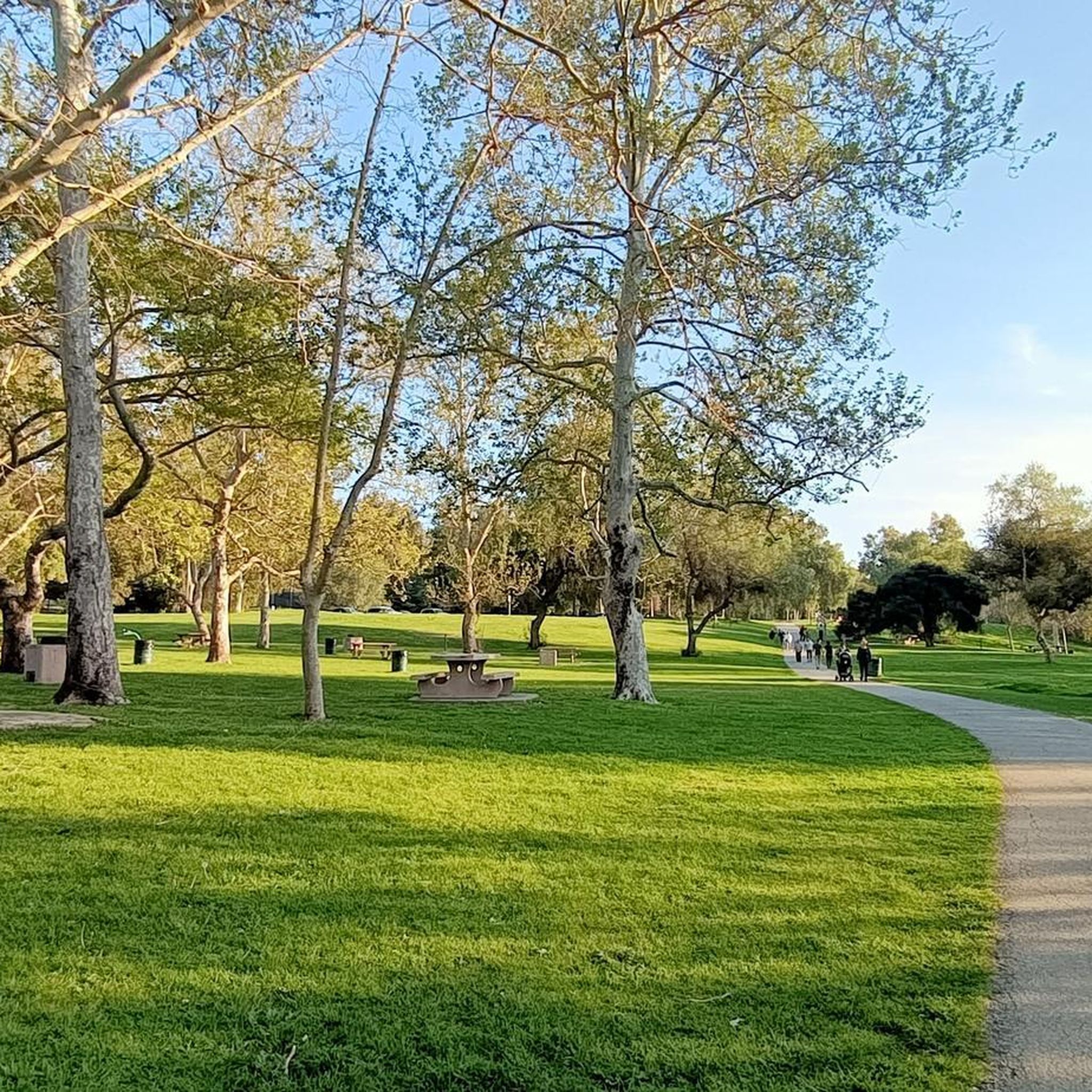
The Brea Dam Trail is a short but scenic path located near the Brea Dam. It connects to other nearby trails, such as the Juanita Cooke Trail and Hiltscher Park Trail, making it easy to extend the ride. The surface is dirt, and the views of the dam area are great. There will be some urban noise and occasional wildlife sightings.
0
0
The Fullerton Golf Course has 18 holes and spans 125 acres.
0
0


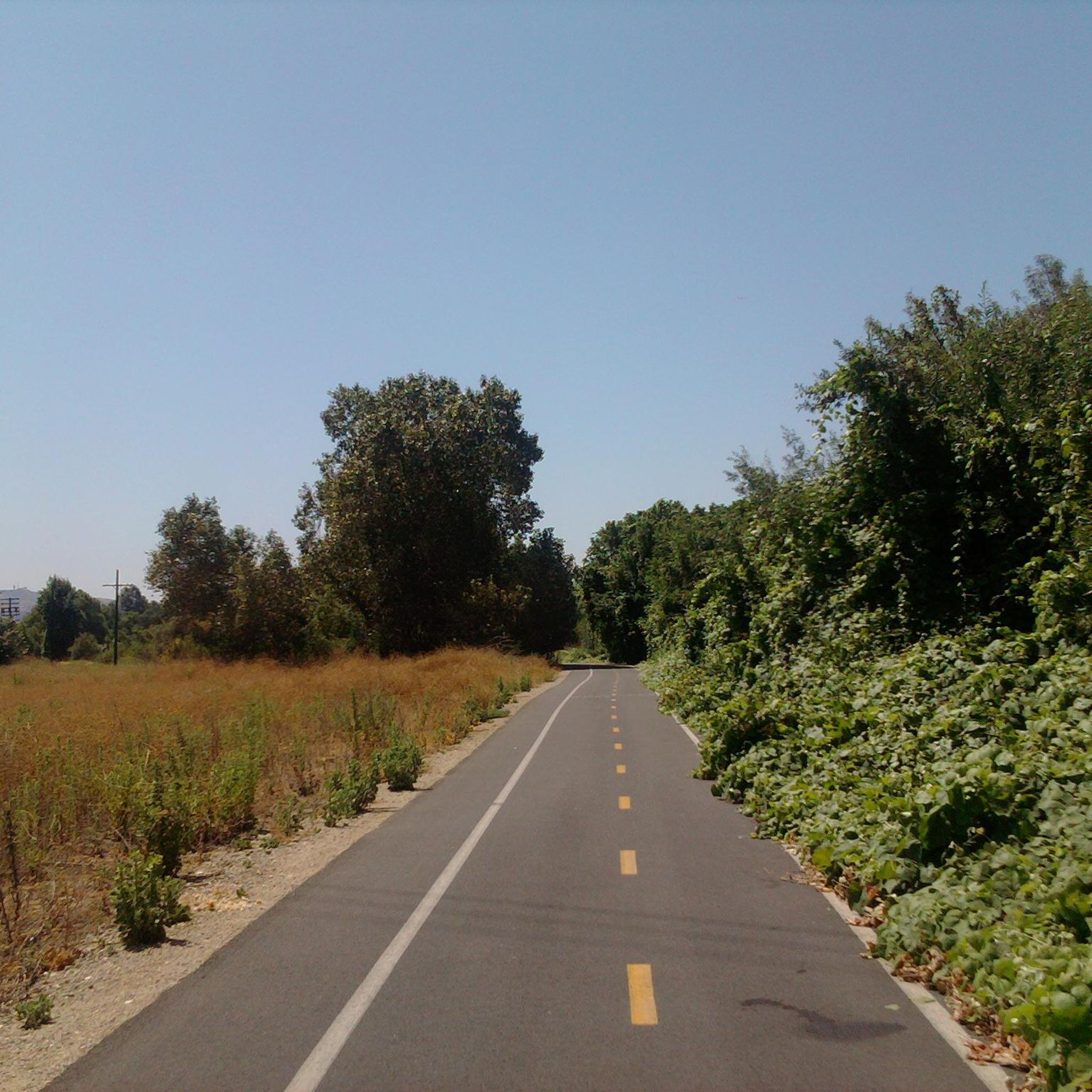
The Workman Ridge Trail is a well-maintained gravel road with wonderful views of the valley below. There are several steep inclines, but it is worth it for the view.
2
0
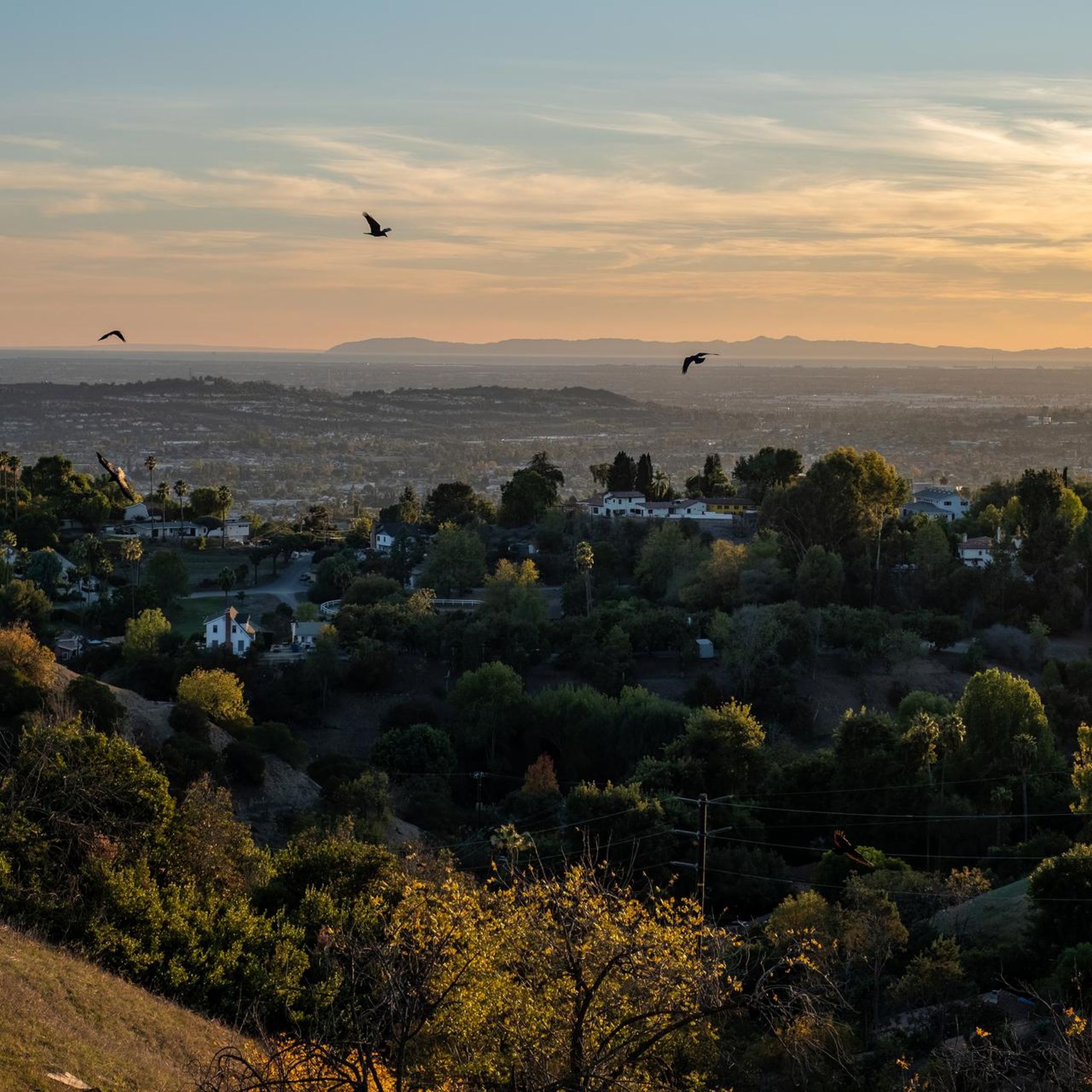
Ride through Turnbull Canyon and be rewarded with stunning views of Los Angeles County and surround yourself with a mix of natural beauty and historical intrigue. The road climbs with an average gradient of 5.2%, gaining 775 feet in elevation and peaking at 1,161 feet. Be cautious of fast-driving vehicles on the winding roads.
1
0

This is part of a pretty easy, flowy bike loop around Fullerton, with a surprising amount of singletrack to it. A lot of people like to park at the courthouse and pedal from there.
0
0

be cautious, lots of young fast and furious wannabe racers out on the canyon at all hours of the day. listen to your surroundings. be safe
0
0
Frequently Asked Questions
How many mountain bike trails are available around Whittier?
There are over 30 mountain bike trails around Whittier, California, offering a diverse range of experiences. These routes traverse rolling hills, chaparral-covered landscapes, and natural preserves like the Puente Hills Preserve and Schabarum Regional Park.
What are the difficulty levels of mountain bike trails in Whittier?
The trails around Whittier cater to various skill levels. You'll find a good mix, with 18 easy routes perfect for beginners or a relaxed ride, 10 moderate trails for those seeking a bit more challenge, and 2 difficult routes for experienced mountain bikers looking for a demanding adventure.
Are there any family-friendly mountain bike trails in Whittier?
Yes, Whittier offers several easy mountain bike trails suitable for families. These routes often feature gentler terrain and shorter distances, making them enjoyable for riders of all ages. An example of an easy route is the Fullerton Loop Trail – Brea Dam loop from Hawks Pointe, which combines urban and natural landscapes.
What kind of landscapes can I expect to see while mountain biking in Whittier?
Mountain biking in Whittier takes you through diverse landscapes characterized by rolling hills, chaparral-covered slopes, and oak woodlands. You'll explore natural preserves such as the Puente Hills Preserve and Schabarum Regional Park, offering scenic views and varied terrain.
What do other mountain bikers enjoy most about the trails in Whittier?
The mountain bike trails in Whittier are highly rated by the komoot community, with an average score of 4.8 stars from over 170 reviews. Riders often praise the varied terrain, the scenic beauty of the natural preserves, and the well-maintained paths that offer options for different ability levels.
Are there any circular mountain bike routes in Whittier?
Yes, many of the mountain bike routes around Whittier are designed as loops, allowing you to start and finish at the same point. Examples include the popular Whittier Hill – Puente Hills Preserve loop from Whittier and the more challenging Schabarum Trail – Schabarum Trail loop from West Whittier.
What are some interesting landmarks or places to explore near the mountain bike trails?
While mountain biking, you can explore several interesting landmarks and natural features. Notable attractions include Turnbull Canyon, known for its scenic views, and the Bosque del Rio Hondo, a beautiful forest area. The Brea Dam is also a point of interest along some routes.
Are there any trails that offer views or connect to other scenic areas?
Absolutely. Many trails provide excellent viewpoints of the surrounding region. For instance, the View of Hacienda Heights – Schabarum Picnic Areas loop from Puente Hills Mall offers scenic vistas. Routes often connect through natural preserves, giving you continuous access to beautiful landscapes.
Can I find trails that are suitable for a longer, more challenging ride?
For experienced riders seeking a longer and more challenging experience, Whittier offers routes like the Schabarum Trail – Schabarum Trail loop from West Whittier. This difficult 37.3 km trail features significant elevation gain and takes approximately 3 hours 48 minutes to complete, providing a robust workout.
What is the best time of year to go mountain biking in Whittier?
Whittier, California, generally enjoys a mild climate, making mountain biking enjoyable for much of the year. Spring and fall offer particularly pleasant temperatures, while winter can also be suitable on clear days. Summer rides are best done in the early morning or late afternoon to avoid the midday heat.
Are there any lakes or water features accessible from the mountain bike trails?
Yes, some mountain bike routes in Whittier pass near or offer access to local water features. For example, the area includes lakes like Laguna Lake and Legg Lake, which can be explored as part of or near your ride.
Are there any specific trails that are good for spotting wildlife?
The natural preserves around Whittier, such as the Puente Hills Preserve and Schabarum Regional Park, are home to various local wildlife. While specific sightings are never guaranteed, riding through these natural habitats, especially during quieter times of day, increases your chances of encountering local birds and other small animals.
Most popular routes around Whittier
Most popular attractions around Whittier

Get inspired with the komoot mobile app


Explore more
Browse the best MTB trails in other regions.
