The best road cycling routes around Downey
4.5
(57)
1,837
riders
52
rides
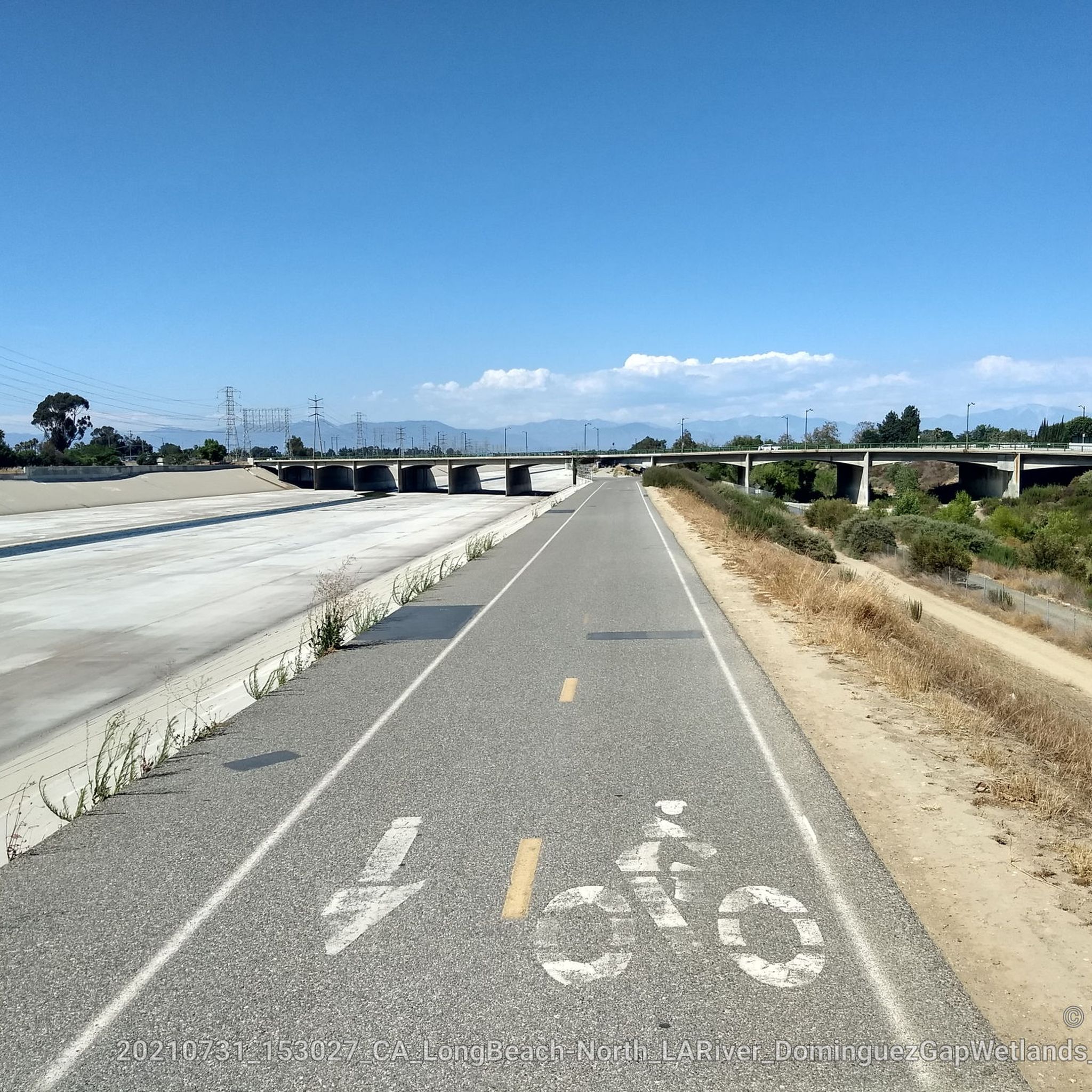
Road cycling around Downey offers accessible green spaces and dedicated pathways, making it a notable destination for outdoor activities. The city's location provides access to a network of bike trails, including connections to the Rio Hondo Bike Path and the Los Angeles River Greenway. These routes primarily follow river channels, providing generally flat terrain suitable for various road cycling experiences.
Best road cycling routes around Downey
- The most popular road cycling route is Santa Fe Flood Control Basin – San…
Last updated: August 20, 2026
5.0
(3)
84
riders
Moderate road ride. Good fitness required. Mostly well-paved surfaces and easy to ride.
5.0
(1)
28
riders
Easy road ride. Great for any fitness level. Mostly well-paved surfaces and easy to ride.

Sign up for free
27
riders
151km
07:36
1,600m
1,600m
Hard road ride. Very good fitness required. Mostly well-paved surfaces and easy to ride.
25
riders
24.9km
01:17
30m
30m
Easy road ride. Great for any fitness level. Mostly well-paved surfaces and easy to ride.
13
riders
Moderate road ride. Good fitness required. Mostly well-paved surfaces and easy to ride.
Get access to more routes and recommendations from other explorers.
Sign up for free
Already have an account?
Our route recommendations are based on thousands of hikes, rides, and runs completed by other people on komoot.
Start today with a free account
Your next adventure awaits.
Login or Signup


Tips from the Community

The San Gabriel Dam is a rock‑fill structure completed in 1939 on the San Gabriel River and is used for flood control.
0
0

Nice bike path. not much roads to cross. some are hilly but doable for newbies. It's our first time and we had a good time. just some areas are with a lot of homeless people, esp. the tunnels.
0
0

Limited cars use the roads so it is nice to get away from traffic
0
0

The trail is part paved concrete and part packed dirt, and takes you through a series of parks along the San Gabriel River. The trail runs for a mile and a half and is interrupted by only two road crossings.
0
0

As you make your way along the San Gabriel River Trail, you will enjoy great views of the Los Alamitos Channel. It's a nice spot to ride along and a welcome break from the loud LA traffic.
0
0

Built in 1848 by Pico, the last governor of Mexican California, explore the restored adobe home, furnished with period pieces, offering a glimpse into Pico's life and 19th-century California living.
1
0

The San Gabriel River Greenway is a 35.4-mile paved path that is known as an easy spot to ride. The trail parallels the San Gabriel River.
0
0

Santa Fe Flood Control Basin is a recreation area in the empty reservoir behind the Santa Fe Dam. You can see and access this area from the San Gabriel River Greenway, a 35.4-mile paved, multi-use path that parallels the San Gabriel River.
1
0
Frequently Asked Questions
What kind of terrain can I expect on road cycling routes in Downey?
Road cycling routes in Downey primarily follow river channels like the Rio Hondo and San Gabriel River, offering generally flat and paved terrain. While many routes are leisurely, some, such as the Turnbull Canyon – Turnbull Debris Basin loop from Norwalk, feature varied terrain with some elevation gain for a more challenging ride.
Are there easy or beginner-friendly road cycling routes in Downey?
Yes, Downey offers several easy road cycling options. Many routes along the Rio Hondo Bike Path and Los Angeles River Greenway are flat and paved, suitable for beginners. An example is the Pio Pico State Historic Park loop from Norwalk, which is rated as easy and covers a distance of about 15 miles (24.6 km).
What natural features or landmarks can I see along the road cycling routes?
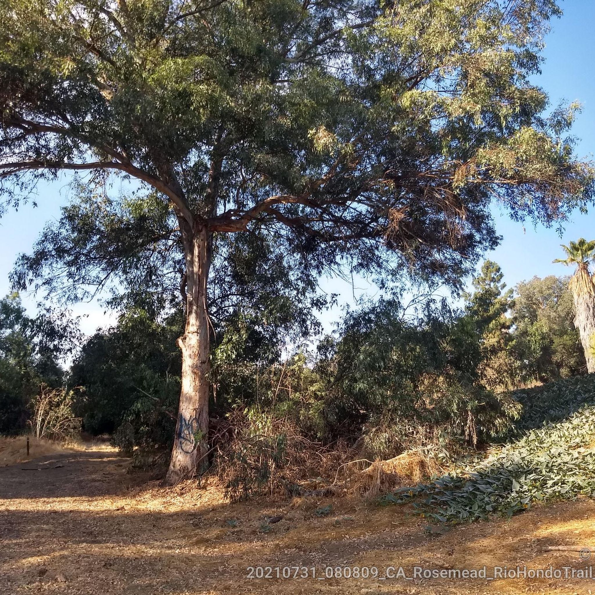
You'll encounter various natural features and landmarks. The Rio Hondo Bike Path offers natural views and passes through wooded areas. You can also explore the Bosque del Rio Hondo, a forest area providing direct access to bike paths. Key connections like the Rio Hondo Bike Bridge and the E-Imperial Bridge are also notable points along the way.
Where can I park when accessing Downey's bike trails?
While specific parking lots for each route aren't detailed, access points to the Rio Hondo Bike Path in Downey are available near Brookshire and Gardendale, close to the Columbia Space Center. Many parks in Downey, such as Wilderness Park, Apollo Park, and Furman Park, also offer parking and provide access to nearby trails or green spaces.
What is the best time of year for road cycling in Downey?
Downey benefits from a generally mild, sunny climate, making it suitable for road cycling year-round. However, the spring and fall months often provide the most comfortable temperatures for longer rides, avoiding the peak heat of summer while still enjoying pleasant weather.
Are there family-friendly road cycling routes in Downey?
Yes, the flat and paved nature of many sections of the Rio Hondo Bike Path and the Los Angeles River Greenway make them ideal for family-friendly rides. Parks like Apollo Park and Furman Park also offer leisurely paths and amenities, perfect for cycling with children.
Are there loop routes available for road cycling in Downey?
Yes, several loop routes are available. For instance, the Santa Fe Flood Control Basin – San Gabriel River Greenway loop from Norwalk is a popular option, offering a substantial loop along regional bikeways. Another is the San Gabriel River Dam – Bosque del Rio Hondo loop from Stonewood Center.
How can I access the cycling routes using public transport in Downey?
Downey's location provides access to a network of bike trails, including connections to the Rio Hondo Bike Path and the Los Angeles River Greenway. While direct public transport access to every trailhead isn't specified, local bus services often have bike racks, allowing you to reach general areas near the main bike paths. It's advisable to check local transit schedules and bike policies for specific routes.
What do other cyclists enjoy most about road cycling in Downey?
The road cycling routes around Downey are highly rated by the komoot community, with an average score of 4.8 stars from over 49 reviews. Cyclists often praise the dedicated bike paths, the connections to regional greenways, and the generally flat terrain that makes for accessible and enjoyable rides.
How long are the typical road cycling routes in Downey?
The length of road cycling routes in Downey varies significantly. You can find shorter, easy rides around 15 miles (24 km), such as the Pio Pico State Historic Park loop from Norwalk. Longer routes, like the Santa Fe Flood Control Basin – San Gabriel River Greenway loop from Norwalk, can extend over 50 miles (84 km), offering options for various endurance levels.
Are there less crowded options for road cycling in Downey?
While popular routes can see more traffic, especially on weekends, the extensive network of bike paths along the Rio Hondo and San Gabriel rivers offers many miles of riding. Exploring routes during off-peak hours or on weekdays can often provide a more serene experience. The Bosque del Rio Hondo area, for example, provides a natural setting that might feel less crowded than more urban sections.
Can I find places to stop for refreshments along the routes?
Downey is a developed city, and while specific cafes directly on the bike paths are not always guaranteed, many routes pass through or near residential and commercial areas where you can find coffee shops, restaurants, and convenience stores. Planning your route with a map can help identify suitable stops for refreshments.
Most popular routes around Downey
Most popular attractions around Downey

Get inspired with the komoot mobile app


Explore more
Browse the best Road cycling routes in other regions.
