The best walks and hikes around Los Altos
4.6
(376)
5,690
hikers
281
hikes
Hiking around Los Altos offers access to the open space preserves and parks of Silicon Valley. The region is characterized by rolling hills, redwood groves, and an extensive network of trails within preserves like Rancho San Antonio. Routes range from flat paths through city parks to more challenging ascents up nearby peaks, including Black Mountain.
Best hiking trails around Los Altos
- The most popular hiking route is High Meadow Trail loop — Rancho San Antonio County Park, a 5.2 mile (8.4 km) trail that takes about 2 hours 25 minutes to complete. This moderate hike features a steady climb to a meadow within the preserve.
- Another top favourite among local hiking enthusiasts is Black Mountain loop via Black Mountain Trail — Rancho San Antonio County Park, a difficult 14.7 mile (23.6 km) path. The route involves a significant elevation gain on its way toward the summit.
- Local hiking enthusiasts also love the Los Altos Hills & Redwood Grove Nature Preserve — loop from Shoup Park, a 4.3 mile (6.9 km) trail leading through a small redwood forest, often completed in about 1 hour 50 minutes.
- Hiking around Los Altos is defined by trails through open grasslands, shaded redwood groves, and chaparral-covered hillsides. The network of paths provides options for various fitness and experience levels.
- The routes in Los Altos are highly rated by the komoot community with an average score of 4.6 stars from over 340 reviews. More than 5,600 hikers have used komoot to explore Los Altos's varied terrain.
Last updated: October 11, 2026
4.7
(7)
136
hikers
12.8km
03:55
490m
420m
Embark on the Stephen E. Abbors, Coyote, and High Meadow Loop for a moderate hiking experience that transitions through diverse landscapes. You will climb through shady bay laurel woods before reaching sunny chaparral, offering panoramic views of the Santa Clara Valley. This 8.0-mile (12.8 km) route involves a significant elevation gain of 1592 feet (485 metres) and typically takes around 3 hours and 55 minutes to complete, providing a good workout.
When planning your visit, be aware that parking at the trailhead can be challenging, especially on weekends. It is advisable to arrive early to secure a spot. While the initial sections of the trail tend to be quite popular, you will find the upper half of the loop generally less crowded, offering a more peaceful journey.
This loop is a fantastic way to experience the natural beauty of Rancho San Antonio Open Space Preserve. As you hike, keep an eye out for local wildlife such as deer and bobcats. The High Meadow Vista Point is a highlight, where you can pause on a bench and enjoy expansive views that, on a clear day, can stretch all the way to Stanford Campus and even the San Francisco skyline.
5.0
(6)
93
hikers
9.71km
02:45
210m
220m
Embark on the Wildcat Loop Trail for a moderate hiking experience that blends varied terrain with scenic views. This 6.0-mile (9.7 km) route will take you about 2 hours and 45 minutes to complete, with a total elevation gain of 693 feet (211 metres). You'll find yourself traversing both flat fire roads and shaded singletrack sections, encountering several climbing switchbacks along the way. As you ascend, look out for the seven numbered switchbacks leading to a summit, where you can enjoy expansive views of the bay and even San Jose. The descent often guides you through a cool, damp canyon, offering a refreshing change of scenery.
Since this is a popular trail, especially on weekends, you might want to arrive early to secure parking at the trailhead. The route is generally accessible throughout the year, with each season offering its own unique charm. While no specific permits or fees are mentioned for accessing the trail itself, planning your visit during off-peak hours can enhance your experience. Consider starting your hike in the morning to avoid crowds and enjoy cooler temperatures, particularly during warmer months. This approach will give you a more peaceful journey through the preserve.
The Wildcat Loop Trail is a highlight within the Rancho San Antonio Open Space Preserve, known for its diverse ecosystems. The trail's design thoughtfully combines different environments, from open areas to shaded canyons, providing a dynamic hiking experience. You can pause at the High Meadow Viewpoint for expansive vistas, adding another layer to your exploration of this natural area. This route is a great choice if you are looking for a substantial hike that offers both physical challenge and rewarding scenery within the region.

4.7
(12)
94
hikers
5.97km
01:46
210m
140m
The Stephen E. Abbors, Wildcat, and Coyote Trail Loop offers a delightful mix of terrain, taking you from open, grassy hillsides dotted with oaks into cool, shady canyons where bay laurel trees and ferns thrive. You'll also encounter sunny chaparral sections, providing a diverse visual experience. The highlight for many is the climb along a wind-swept ridge, which, though challenging, opens up to increasingly spectacular views of the Santa Clara Valley and culminates in panoramic Bay Area vistas from spots like the High Meadow Vista Point. It's a great way to experience the varied natural beauty of the Rancho San Antonio Open Space Preserve.
Planning your visit to this popular trail is straightforward, as no special permits are mentioned. However, given its location in a well-regarded preserve, arriving early, especially on weekends, is advisable to ensure you find parking at the trailhead. The route includes some strenuous climbs on gravel fire roads, so be sure to carry plenty of water, particularly if you're hiking during warmer parts of the day. This loop is an excellent choice for a morning or afternoon outing when you want a good workout with scenic rewards.
Formerly known as the PG&E Trail, the Stephen E. Abbors Trail is a well-known route in Cupertino, celebrated for its varied terrain and the excellent views it provides. The area is also home to diverse wildlife; you might spot quails, deer, or even bobcats along the way. This loop is a fantastic option if you're looking for a trail that combines physical activity with stunning natural landscapes, offering a notable hiking destination for both locals and visitors.
4.0
(4)
63
hikers
11.7km
03:14
210m
210m
Embark on the Rogue Valley, Upper Rogue Valley, and High Meadow Loop Trail for a moderate hiking experience that spans 7.3 miles (11.7 km) with an elevation gain of 700 feet (213 metres). You can expect to complete this route in about 3 hours and 14 minutes. As you climb, you will find yourself on varied terrain, moving from wide dirt paths to sections with switchbacks and open meadows. The trail offers increasingly expansive views of the South Bay and the broader Bay Area, culminating in panoramic vistas from High Meadow Vista Point. This journey provides a true sense of elevation and open space.
Planning your visit to the preserve is straightforward, with parking typically available at the trailhead. Be aware that the first mile can get crowded, especially on weekends, so an early start is often beneficial. The trail consists mainly of wide fire trails and is generally well-maintained, making it suitable for hiking even after rain, with only a few muddy areas. Always be mindful of your surroundings and take appropriate precautions, as mountain lions are known to be present in the preserve.
This loop trail is a great opportunity to observe local wildlife, such as deer, turkeys, and rabbits, particularly during the quieter morning and evening hours. The route's design through the Rogue Valley and High Meadow areas highlights the diverse ecosystems of the region. It provides a comprehensive tour of the preserve's upper hills, showcasing its natural beauty and offering a rewarding outdoor adventure for those seeking a substantial hike with varied scenery.
5.0
(4)
22
hikers
6.67km
01:50
110m
110m
Embark on an easy hike along the Rogue Valley, Chamise, and Mora Trail Loop, a route that offers a pleasant mix of shaded fire roads and winding singletrack paths. This 4.1-mile (6.7 km) loop will take you through diverse landscapes, from chaparral to wooded sections and creekside segments. You'll gain a gentle 356 feet (108 metres) in elevation, making it an accessible journey that typically takes around 1 hour and 50 minutes to complete. As you hike, keep an eye out for the picturesque meadows dotted with oak trees, especially along the High Meadow Trail section, and enjoy scenic vistas of Cupertino and Mountain View.
When planning your visit to the Rogue Valley, Chamise, and Mora Trail Loop, be aware that parking at the main trailhead can be quite competitive. It is advisable to arrive early, particularly if you are visiting on a weekend, to secure a spot. Also, consider the season; winter mornings can bring heavy frost to parts of the trail due to limited sun exposure, so check conditions before you head out.
This trail is nestled within the popular Rancho San Antonio Open Space Preserve, known for its varied terrain and abundant wildlife. The route provides panoramic views of the surrounding hills and the wider Bay Area, offering a great perspective on the region's natural beauty. You will also pass a medium-sized reservoir along the Rogue Valley Trail, adding another interesting feature to your outdoor experience.
Get access to more routes and recommendations from other explorers.
Already have an account?
Our route recommendations are based on thousands of hikes, rides, and runs completed by other people on komoot.
Start today with a free account
Your next adventure awaits.

Tips from the Community

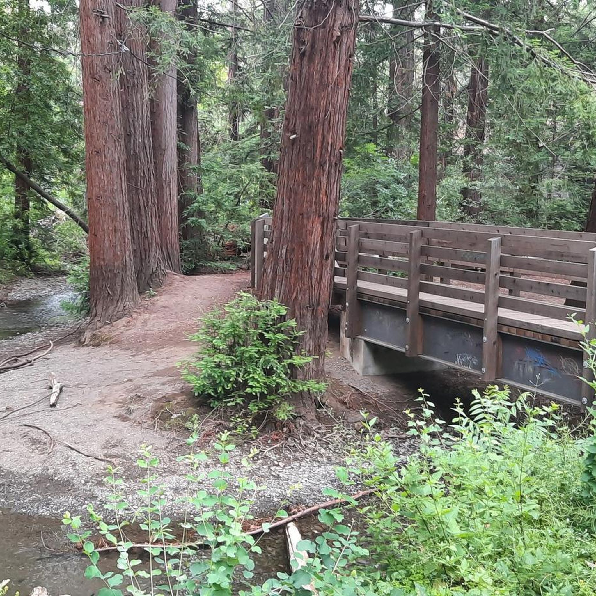
Rancho San Antonio County Park shares a boundary with Rancho San Antonio Open Space Preserve, which adds almost 4,000 acres of nature to the 289-acre park. The trails are well-kept and well-marked, but all bikes need to keep on paved-paths only.
0
0

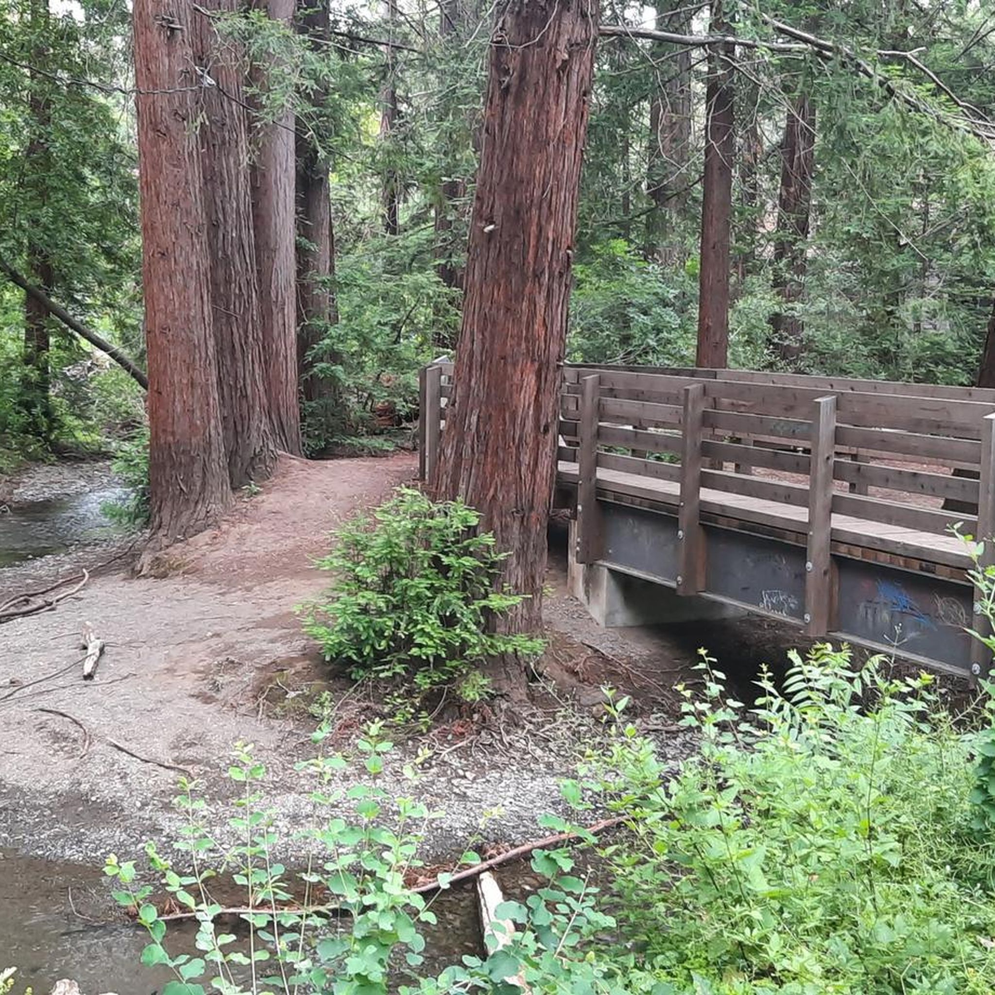
You can see great views from this spot along the High Meadow Trail. Views include the San Francisco Bay to the northwest and the opposing mountains to the east. There is a small bench to relax on and even enjoy a picnic.
0
0
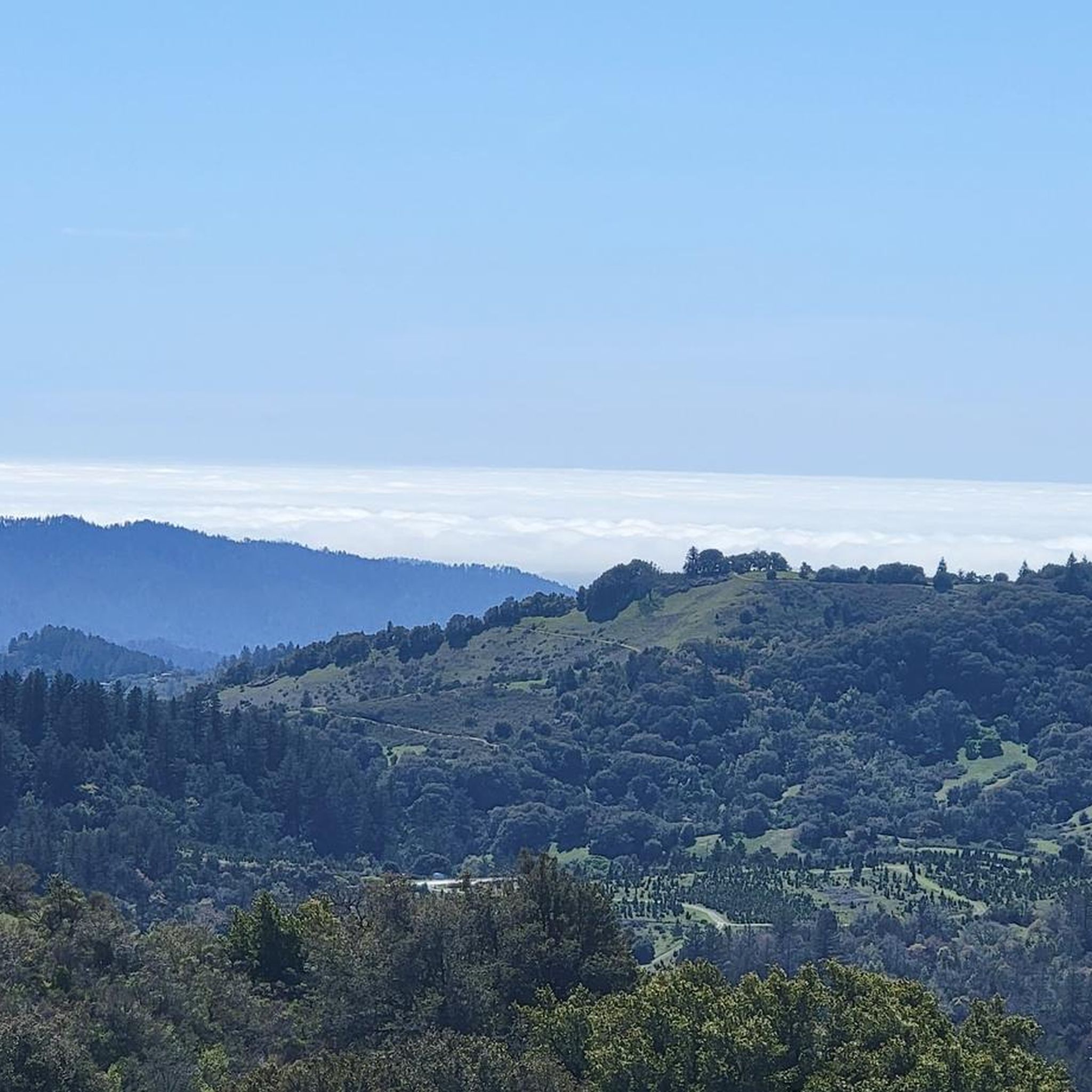
You can see great views from this spot along the Upper High Meadows Trail. Views include the San Francisco Bay to the northwest and the opposing mountains to the east.
0
0
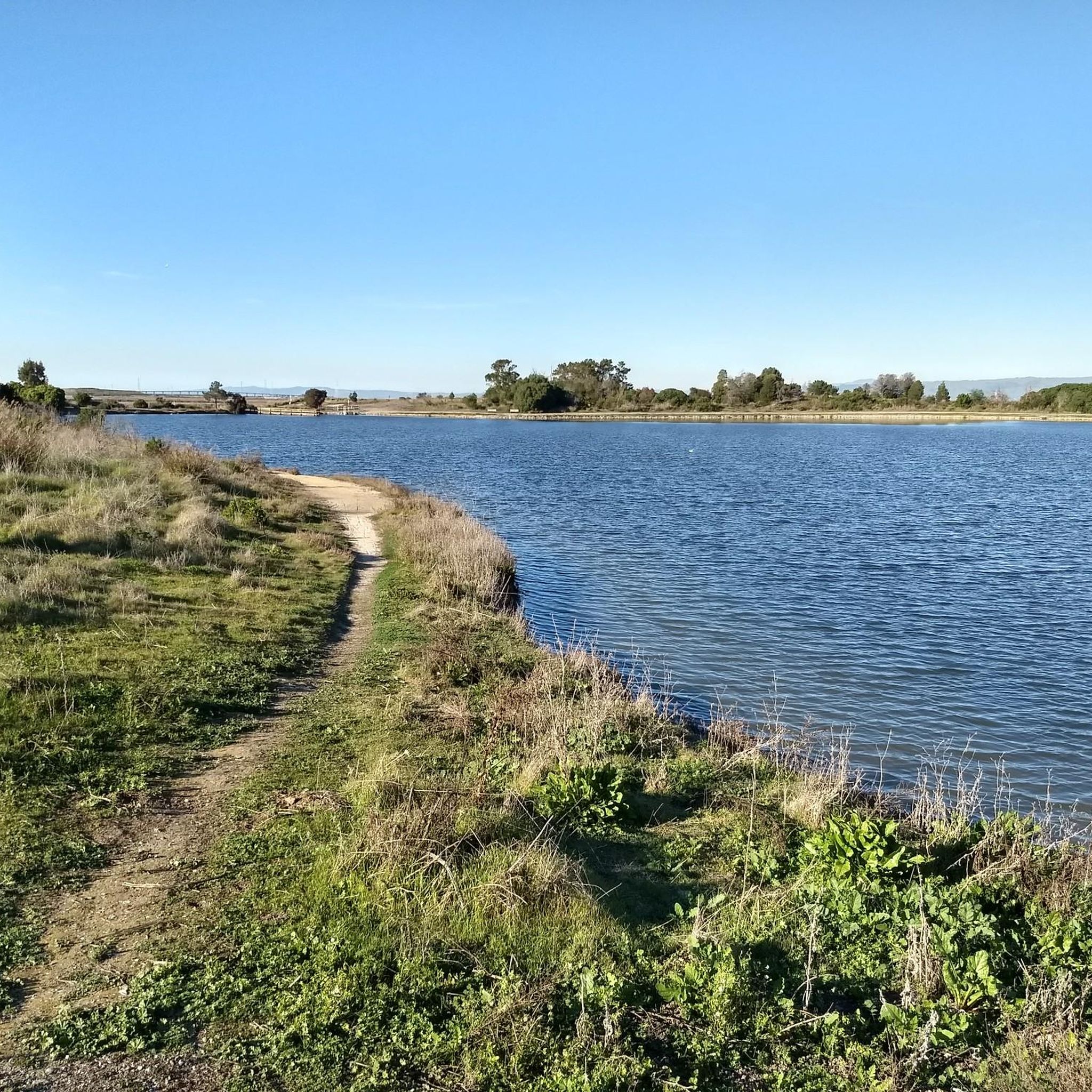
Rancho San Antonio County Park shares a boundary with Rancho San Antonio Open Space Preserve, which adds almost 4,000 acres of nature to the 289-acre park. The trails are well-kept and well-marked, and are generally pretty easy if you just stick close to the car. Some of the trails in the heart of the park have some hills and offer great views of the surrounding preserve and the city off in the distance.
0
0
Rancho San Antonio County Park shares a boundary with Rancho San Antonio Open Space Preserve, which adds almost 4,000 acres of nature to the 289-acre park. The trails are well-kept and well-marked and are generally pretty easy if you just stick close to the car. Some of the trails in the heart of the park have some hills and offer great views of the surrounding preserve and the city off in the distance.
0
0

Cross under the power lines and see more great views.
0
0
A bench on an open hill to enjoy wide views of the Rancho San Antonio County Park.
0
0
Frequently Asked Questions
Are there any easy, family-friendly hikes in Los Altos?
Yes, Los Altos has several great options for families. The Downtown Los Altos loop through Lincoln Park and the History Museum is a very gentle walk. For a nature-focused outing, the Redwood Grove Nature Preserve is a popular choice with its short, shaded boardwalk trails that are perfect for children.
Can I bring my dog on the trails?
Dog policies vary by park. While many trails in the larger open space preserves like Rancho San Antonio do not permit dogs to protect wildlife, some areas are more accommodating. Leashed dogs are generally welcome in city parks like Shoup Park and Grant Park. Always check the specific regulations for the park you plan to visit before you go.
Which trails offer the best views?
For expansive views of the Santa Clara Valley and the Bay Area, trails that ascend to higher elevations are your best bet. The trek to the summit of Black Mountain is renowned for its panoramic vistas. A challenging but rewarding option is the Black Mountain Summit — Rancho San Antonio County Park hike.
What are some good hikes for beginners?
If you're new to hiking, the area offers many accessible trails. The Los Altos Hills & Redwood Grove Nature Preserve — loop from Shoup Park is an excellent choice, offering a pleasant walk with minimal elevation gain. The numerous pathways in Los Altos Hills also provide gentle routes for a quiet walk.
What are the most popular parks or preserves for hiking near Los Altos?
Several preserves in and around Los Altos are highly regarded by local hikers.
Rancho San Antonio County Park and Open Space Preserve is a vast and popular destination with over 24 miles of trails. For more challenging terrain and great views, Monte Bello Open Space Preserve is another local favorite. If you're looking for a quieter experience with varied landscapes, consider visiting Foothills Nature Preserve, which features woodlands, streams, and a lake.
How many hiking trails are there around Los Altos?
There is a wide variety of trails to explore, with over 200 routes mapped on komoot. These range from easy walks through city parks to difficult climbs in the surrounding open space preserves, offering options for every fitness level.
What do other hikers enjoy most about the trails in Los Altos?
The area is highly rated by the komoot community. Reviewers often praise the well-maintained trails, the beautiful scenery ranging from rolling grasslands to shaded redwood groves, and the accessibility of nature so close to the city.
What should I pack for a day hike in the area?
It's wise to hike in layers, as temperatures can change. Always bring plenty of water, especially for longer climbs. Sun protection, including a hat and sunscreen, is essential as many trails are exposed. Sturdy walking shoes are recommended, and you might want to pack some snacks or a picnic.
What is the best time of year to hike around Los Altos?
Spring is a fantastic time to hike, as the hills are green and wildflowers are in bloom. Autumn also offers pleasant, mild weather. Summers can be hot, especially on exposed trails, so it's best to start early in the day. Winters are generally mild but be prepared for muddy trails after rain.
Are there any hikes with waterfalls?
While the Los Altos area is known more for its rolling hills and oak woodlands, prominent, year-round waterfalls are not a common feature of the local trails. During the rainy season, you may encounter small, seasonal cascades, but there are no major waterfall destinations.
What are the parking situations at the trailheads?
Parking varies significantly. Large preserves like Rancho San Antonio have big parking lots, but they can fill up quickly, especially on weekends. Smaller trailheads, such as the Rhus Ridge Trailhead for accessing Black Mountain, have very limited parking with only a few spots available. It's always a good idea to arrive early or have an alternative hike in mind.
How can I check if the trails are open?
For the most current information on trail status, closures, or park hours, it's best to check the official website of the park or preserve you plan to visit. The Los Altos Parks & Recreation Department website is a good resource for city-managed parks. You can find it at losaltosca.gov.
Most popular routes around Los Altos
Most popular attractions around Los Altos

Get inspired with the komoot mobile app


Explore more
Browse the best Hikes in other regions.
