The best road cycling routes around Beaumont
47
riders
5
rides
Road cycling routes around Beaumont are characterized by significant elevation changes, traversing the hilly terrain of Southern California's Inland Empire. The region features varied landscapes, from rolling hills to more challenging mountain ascents, with routes often starting near colleges and towns like Crafton Hills, Banning, and Yucaipa. Cyclists can expect sustained climbs and descents across these routes.
Best road cycling routes around Beaumont
- The most popular road cycling route is Duck Pond – Caroline Park loop from Crafton Hills College, a 43.4 miles (69.9 km) trail that takes 3 hours 42 minutes to complete. This difficult route features over 3,956 feet (1,206 meters) of elevation gain.
- Another top favourite among local road cyclists is Hwy 243 - Banning Climb loop from Banning, a difficult 43.5 miles (70.1 km) path. This route includes substantial climbing, reaching over 5,235 feet (1,596 meters) in elevation.
- Local road cyclists also love the Bryant Street loop from Calimesa, a 20.9 miles (33.6 km) trail leading through the local hills, often completed in about 1 hour 57 minutes.
- Road cycling around Beaumont is defined by challenging climbs, varied elevation profiles, and routes connecting local communities. The network offers options for different ability levels, from moderate to difficult.
- More than 80 road cyclists have used komoot to explore Beaumont's varied terrain.
Last updated: October 16, 2026
11
riders
69.9km
03:43
1,210m
1,210m
Hard road ride. Very good fitness required. Mostly well-paved surfaces and easy to ride.
5
riders
33.6km
01:57
770m
770m
Moderate road ride. Good fitness required. Mostly well-paved surfaces and easy to ride.

8
riders
23.8km
01:18
320m
320m
Moderate road ride. Good fitness required. Mostly well-paved surfaces and easy to ride.
4
riders
45.2km
02:18
620m
610m
Moderate road ride. Good fitness required. Mostly well-paved surfaces and easy to ride.
4
riders
41.8km
01:52
440m
440m
Moderate road ride. Good fitness required. Mostly well-paved surfaces and easy to ride.
Our route recommendations are based on thousands of hikes, rides, and runs completed by other people on komoot.
Start today with a free account
Your next adventure awaits.
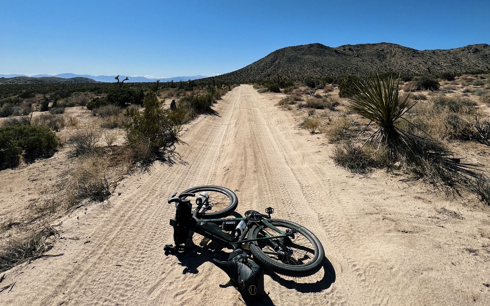
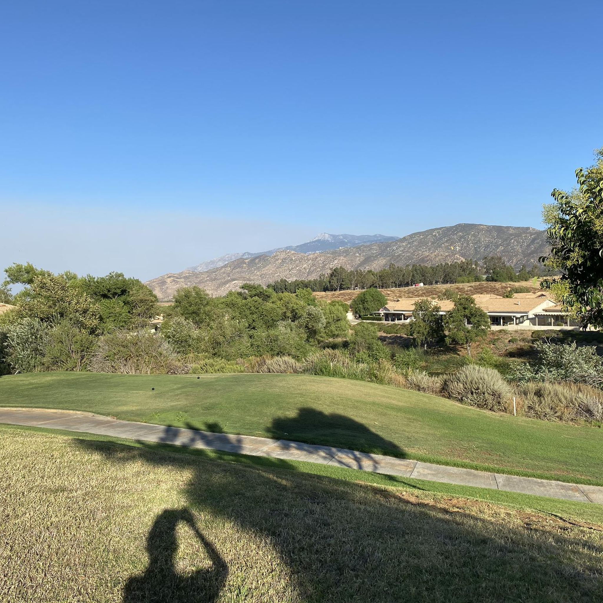
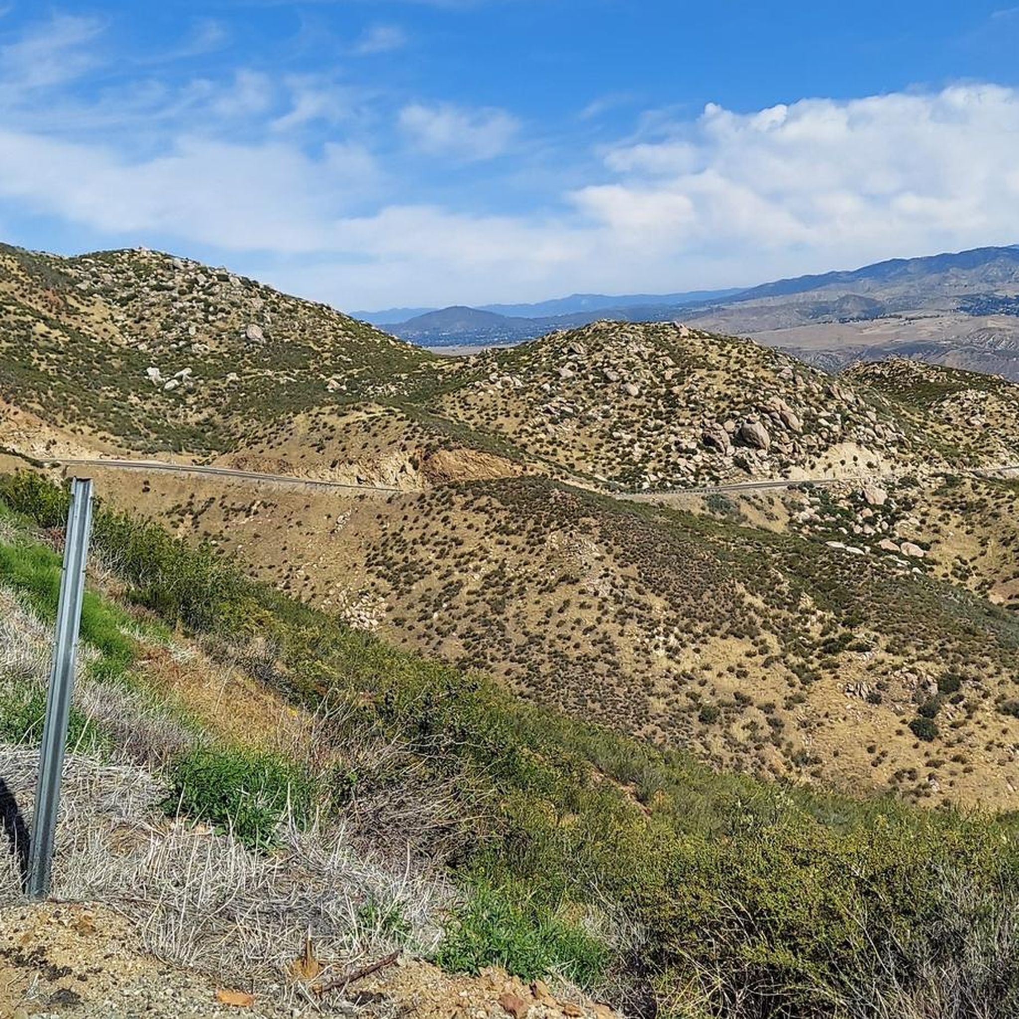
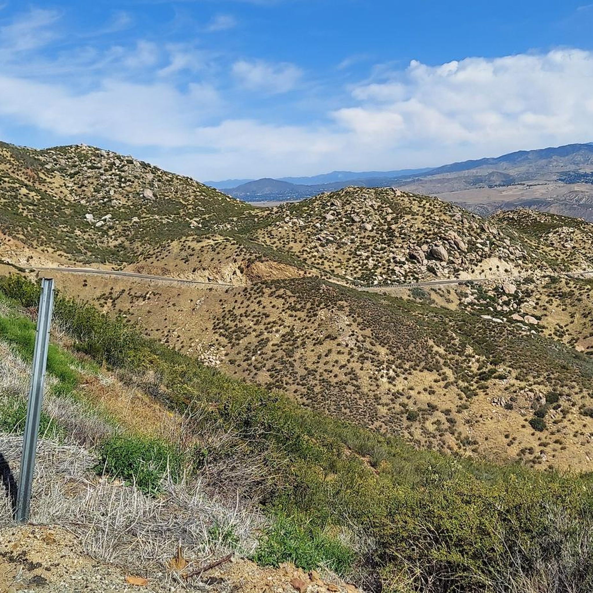
Other adventures around Beaumont

Tips from the Community

A picturesque pond perfect for a little break. Duck Pond features a wooden platform and is surrounded by willow trees, providing habitat for small species of animals and insects.
1
0
One of the streets in Yucaipa where you can enjoy a smooth ride with views of the mountains. The route is mostly flat and passes through a residential area, so it’s not so busy.
0
0

Caroline Park is a tiny hidden gem, nestled in the hills between large, attractive homes in Redlands, California. This scenic park is a local favorite and a great place to check out after work. There are hiking trails, native wildflowers and other plants in the spring, and plenty of wildlife (birds in particular!) viewing opportunities here.
2
0

The trails in the Wildwood Canyon State Park are open to hikers, bikers and horseback riders. The park is open from 7:30 am to sunset. Click here for more information: http://www.parks.ca.gov/?page_id=22883
1
0
Frequently Asked Questions
How many road cycling routes are available around Beaumont?
There are 5 road cycling routes around Beaumont featured in this guide, offering a range of experiences from moderate to difficult. These routes traverse the hilly terrain of Southern California's Inland Empire.
What are the difficulty levels of road cycling routes in Beaumont?
The road cycling routes around Beaumont are categorized as moderate to difficult. For instance, the Duck Pond – Caroline Park loop from Crafton Hills College and the Hwy 243 - Banning Climb loop from Banning are both considered difficult due to significant elevation gains.
Are there any challenging road cycling routes for experienced riders?
Yes, Beaumont offers several challenging routes. The Hwy 243 - Banning Climb loop from Banning is a difficult 43.5-mile path with over 5,235 feet of elevation gain, providing a substantial challenge. Another difficult option is the Duck Pond – Caroline Park loop from Crafton Hills College, which covers 43.4 miles with nearly 4,000 feet of climbing.
What kind of terrain can I expect on road cycling routes near Beaumont?
Road cycling routes around Beaumont are characterized by significant elevation changes, traversing the hilly terrain of Southern California's Inland Empire. You can expect varied landscapes, from rolling hills to more challenging mountain ascents, with sustained climbs and descents across these routes.
Are there any loop road cycling trails around Beaumont?
Yes, many of the routes are loops. Examples include the Duck Pond – Caroline Park loop from Crafton Hills College, the Hwy 243 - Banning Climb loop from Banning, and the Bryant Street loop from Calimesa, all offering circular routes for cyclists.
What are some notable landmarks or points of interest along the road cycling routes?
Along the routes, you can encounter several points of interest. The Hwy 243 - Banning Climb itself is a significant feature. You might also pass by natural attractions like Yucaipa Regional Park and Duck Pond. For historical interest, the Hemet Maze Stone is also nearby.
Are there any parks or recreational areas suitable for cycling in Beaumont?
While the komoot routes focus on road cycling, the region does offer parks that can be starting points or offer scenic diversions. Yucaipa Regional Park and Bogart County Park are examples of recreational areas in the vicinity.
What do other road cyclists say about cycling in Beaumont?
Over 80 road cyclists have used komoot to explore Beaumont's varied terrain. Cyclists often praise the challenging climbs and diverse elevation profiles that connect local communities, offering options for different ability levels.
Are there any moderate road cycling routes for intermediate riders?
Yes, there are moderate options available. The Bryant Street loop from Calimesa is a 20.9-mile route through local hills, typically completed in under two hours. Other moderate routes include the Caroline Park loop from Yucaipa and the Caroline Park loop from Serrano Heights.
Where do road cycling routes typically start in Beaumont?
Routes often start near colleges and towns such as Crafton Hills, Banning, Calimesa, Yucaipa, and Serrano Heights, providing convenient access points for cyclists.
What is the longest road cycling route available in this guide?
The longest routes in this guide are the Hwy 243 - Banning Climb loop from Banning, at 43.5 miles (70.1 km), and the Duck Pond – Caroline Park loop from Crafton Hills College, at 43.4 miles (69.9 km).
Most popular routes around Beaumont
Most popular attractions around Beaumont

Get inspired with the komoot mobile app


Explore more
Browse the best Road cycling routes in other regions.
