The best road cycling routes around San Jose
4.3
(225)
6,657
riders
239
rides
Road cycling routes around San Jose are situated within the Santa Clara Valley, bordered by the Santa Cruz Mountains to the west and the Diablo Range to the east. The terrain transitions from urban and suburban areas to rolling hills and significant climbs. This region offers a mix of paved trails, quiet country roads, and challenging mountain ascents, often featuring views of reservoirs and natural parklands.
Best road cycling routes around San Jose
- The most popular road cycling route is Mount Hamilton & JD Grant Park loop from Berryessa, a 48.2 miles (77.6 km) trail that takes 5 hours 43 minutes to complete. This difficult route features substantial elevation gain and panoramic views.
- Another top favourite among local road cyclists is Stevens Creek country park loop from Bollinger Road & Johnson Avenue, a moderate 21.1 miles (34.0 km) path. This route passes through scenic parkland with varied terrain.
- Local road cyclists also love the Hicks Road, Guadalupe Reservoir, and Almaden Reservoir loop, a 33.6 miles (54.1 km) trail leading through rolling hills and past reservoirs, often completed in about 2 hours 40 minutes.
- Road cycling around San Jose is defined by urban greenways, rolling hills, and mountain ascents. The network offers options for different ability levels, from easy paved bike trails to advanced road cycling trails with significant elevation gain.
- The routes in San Jose are highly rated by the komoot community with an average score of 4.4 stars from over 230 reviews. More than 7,500 road cyclists have used komoot to explore San Jose's varied terrain.
Last updated: October 10, 2026
5.0
(5)
484
riders
77.6km
05:43
1,830m
1,830m
Hard road ride. Very good fitness required. Mostly well-paved surfaces and easy to ride.
4.3
(7)
113
riders
34.0km
01:31
340m
340m
Moderate road ride. Good fitness required. Mostly well-paved surfaces and easy to ride.

3.4
(5)
53
riders
54.1km
02:41
450m
450m
Moderate road ride. Good fitness required. Mostly well-paved surfaces and easy to ride.
4.6
(7)
44
riders
61.1km
02:49
220m
220m
Moderate road ride. Good fitness required. Mostly well-paved surfaces and easy to ride.
5.0
(1)
76
riders
74.2km
03:05
470m
470m
Moderate road ride. Good fitness required. Mostly well-paved surfaces and easy to ride.
Get access to more routes and recommendations from other explorers.
Already have an account?
Our route recommendations are based on thousands of hikes, rides, and runs completed by other people on komoot.
Start today with a free account
Your next adventure awaits.

Tips from the Community

Approaching Hicks road from Camden Ave. Avoid this area on Sundays between 8 AM to noon. It gets busy with impatient church people. The first 6 miles are meandering narrow roads with gentle climbs. The famous Hicks Climb starts with a sharp left bend on an old bridge. You face immediately a 14% gradient which is unnerving if it is your first time. The roads gains 800 feet in 1.2 miles. The average gradient of 8% hides the fact that there are some sections with 3-4% gradient in this 1.2 miles. Be patient on the climb. Your speed may drop under 3 MPH at times. Come mentally prepared and have some mantras to boost your spirits during the climb. Slow down on descent. The road surface is cold- sealed asphalt so you get good traction but slow down. The road is steep and there are some potholes and wide cracks here and there. Check your brake pads!! Temperature can have a significant impact. Ride it when it is under 75 degrees and road is not wet. Some riders connect this ride with Mount Umunhum climb totaling to 3100 feet of elevation gain in less than 7 miles of which 1.1 miles are either flat of downhill! Be safe …
0
0

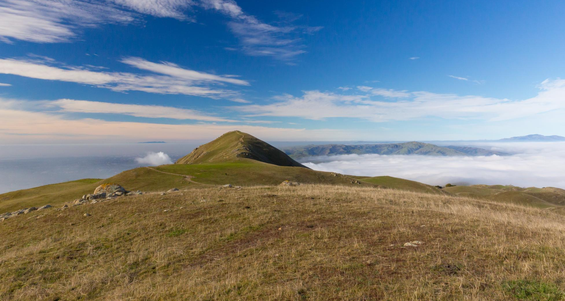
The Donald Shane telescope is a 3 m reflector to the north-east of the Lick Observatory on Mount Hamilton. The outside areas are open and free to access. For interior visits, check at https://mthamilton.ucolick.org
0
0

Biggest peak in the area. If you go when it's open (weekends as of today), you can do the tour of what was once the largest telescope in the world (still one of the biggest refraction telescopes). The observatory is still active
0
0


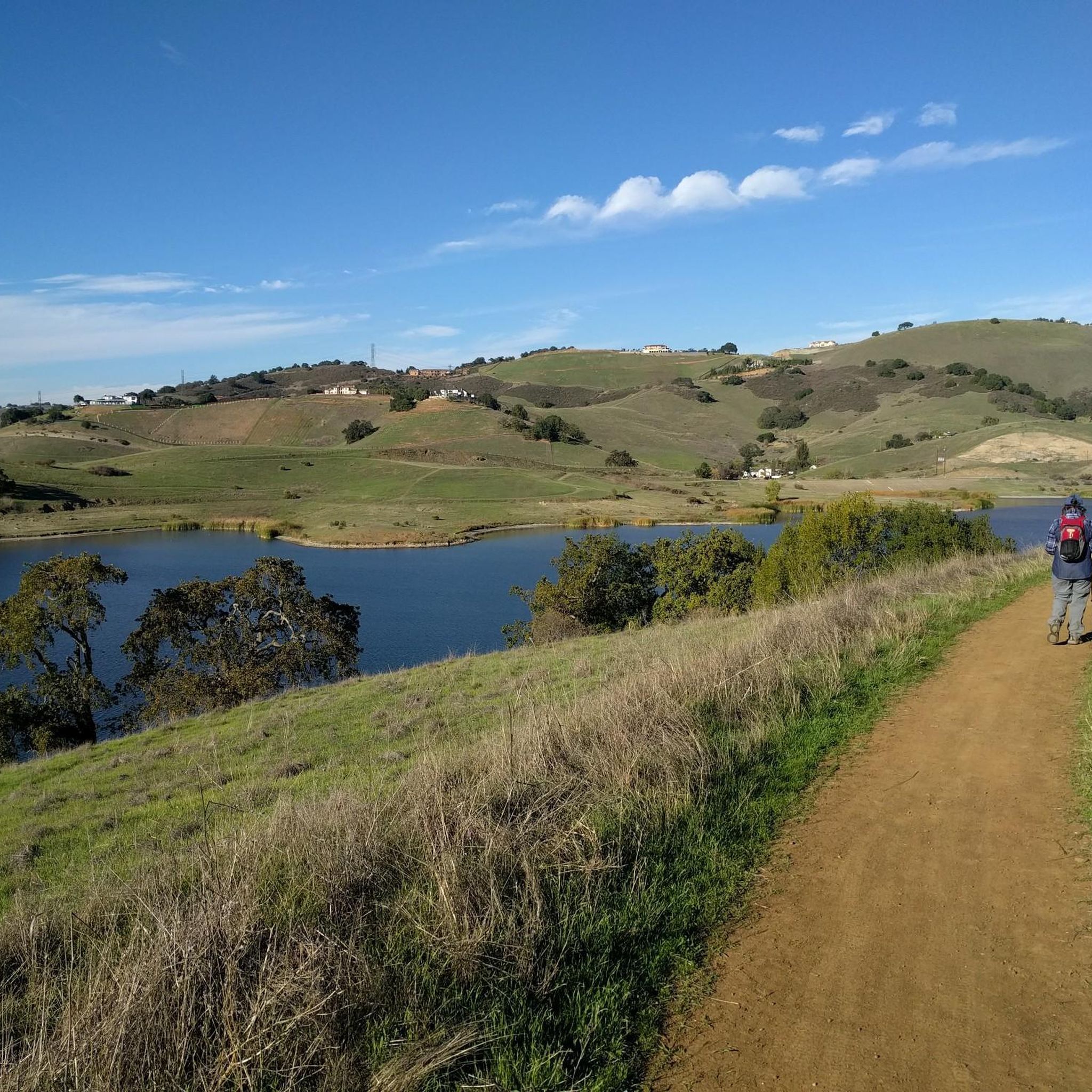
Stevens Creek Reservoir spans 87 acres and is surrounded by a 1,063-acre park. Visitors can enjoy hiking, horseback riding, picnicking, and limited fishing. Seasonal boating for low-power boats is available from mid-April to mid-October. The park is open daily from 8 a.m. to sunset, with vehicle entry fees collected year-round at the Chestnut Parking Lot. Visitors can explore natural beauty and historic remnants like the Villa Maria orchard.
1
0

You can see over 180 different types of roses here from late spring to mid fall. The sculpted gardens surround a grand fountain at the center of the park. There are restrooms and bike racks on the north and south sides.
0
0

Lick Observatory is a must-visit destination for cyclists, featuring historic and modern telescopes, including the world’s largest glass lens observatory. Free tours provide fascinating insights into astronomy and the observatory’s history. At 4,209 feet, temperatures can drop significantly compared to Silicon Valley, especially in winter—bring warm layers.
0
0
Charming bridge crossing Seven's Creek Boulevard at the north end of Creekside Park. Nearby, you’ll find the historic Stocklmeir Farmhouse in Blackberry Farm Park.
0
0
Frequently Asked Questions
How many road cycling routes are available around San Jose?
There are over 220 road cycling routes around San Jose, offering a diverse range of options for all skill levels. These routes are highly rated by the komoot community, with an average score of 4.4 stars.
Are there road cycling routes suitable for beginners in San Jose?
Yes, San Jose offers nearly 100 easy road cycling routes, perfect for beginners or those looking for a relaxed ride. These routes often feature paved trails and minimal elevation gain, providing a comfortable experience.
What kind of terrain can I expect on road cycling routes in San Jose?
Road cycling routes in San Jose transition from urban and suburban areas to rolling hills and significant climbs. You'll find a mix of paved trails, quiet country roads, and challenging mountain ascents, often with views of reservoirs and natural parklands.
Are there challenging road cycling routes with significant elevation gain?
Absolutely. For advanced cyclists seeking a challenge, San Jose offers 28 difficult routes with substantial elevation gain. A prime example is the Mount Hamilton & JD Grant Park loop from Berryessa, which features over 1,800 meters of climbing and panoramic views.
Can I find long-distance road cycling routes in the San Jose area?
Yes, several routes cater to long-distance cyclists. The Mount Hamilton & JD Grant Park loop from Berryessa is a challenging 77.6 km ride, while the Rose Garden to Portola Valley loop covers 74.2 km, offering extensive riding opportunities.
Are there any loop road cycling trails around San Jose?
Many road cycling routes in San Jose are designed as loops, allowing you to start and finish at the same point. Examples include the Hicks Road, Guadalupe Reservoir, and Almaden Reservoir loop and the Coyote Creek and Los Alamitos Creek Trail Loop.
What scenic attractions can I see along the road cycling routes?
Many routes offer scenic views and pass by natural attractions. You might cycle past the Camden Ponds, the Uvas Reservoir, or even catch glimpses of Old Growth Redwood Trees. The Stevens Creek country park loop, for instance, takes you through varied parkland scenery.
Are there any parks or natural areas accessible by road bike in San Jose?
Yes, several routes lead through or near beautiful parks and natural areas. You can explore routes that pass through Alum Rock Park or along the Guadalupe River Trail, Park & Gardens. The Stevens Creek country park loop is another excellent option for experiencing natural parkland.
What do other road cyclists enjoy most about cycling in San Jose?
The area is highly rated by the komoot community, with an average score of 4.4 stars from over 230 reviews. Reviewers often praise the diverse terrain, from urban greenways to challenging mountain ascents, and the scenic views of reservoirs and natural parklands.
Are there less crowded road cycling routes available in San Jose?
While some popular routes can see more traffic, many of San Jose's 220+ routes offer quieter sections, especially those venturing into the rolling hills and country roads away from the immediate urban core. Exploring routes in areas like the Diablo Range or less-trafficked parts of the Santa Cruz Mountains can provide a more serene experience.
What is the best time of year for road cycling in San Jose?
San Jose generally offers good cycling conditions year-round due to its mild climate. Spring and fall are particularly pleasant with moderate temperatures. Summers can be warm, especially inland, so early morning rides are recommended. Winters are typically mild with occasional rain, making it still possible to cycle, though some higher elevation routes might be cooler.
Most popular routes around San Jose
Most popular attractions around San Jose

Get inspired with the komoot mobile app


Explore more
Browse the best Road cycling routes in other regions.
