The best walks and hikes around Baldwin Park
4.9
(12)
290
hikers
48
hikes
Hiking around Baldwin Park offers access to the rolling landscapes of the Puente Hills and the foothills of the San Gabriel Mountains. The terrain is characterized by chaparral-covered hills, wide fire roads, and canyons, with routes providing varied elevation changes. The area features accessible hill climbs and trails within regional parks, including the Baldwin Hills Scenic Overlook.
Best hiking trails around Baldwin Park
- The most popular hiking route is Whittier Hill – Turnbull Debris Basin loop from Hacienda Heights, a 5.0 miles (8.0 km) trail that takes 2 hours 20 minutes to complete. This moderate hike ascends into the Puente Hills, providing views across the surrounding area.
- Another top favourite among local hikers is Whittier Hill – Puma Trail loop from Hillgrove, a moderate 5.4 miles (8.7 km) path. The route involves a significant climb of over 1,000 feet (313 m) on dirt trails.
- Local hikers also love the Waterfall loop from Arcadia, a 3.4 miles (5.5 km) trail leading through a canyon to a waterfall, often completed in about 1 hour 25 minutes.
- Hiking around Baldwin Park is defined by accessible hill climbs, canyon walks, and trails within regional parks. The trail network provides both easy, relatively flat routes and more challenging moderate hikes with substantial elevation gain.
- The routes in Baldwin Park are highly rated by the komoot community with an average score of 4.9 stars from over 10 reviews. More than 200 hikers have used komoot to explore Baldwin Park's varied terrain.
Last updated: October 4, 2026
6
hikers
3.23km
01:04
270m
0m
The Nike Hill trail offers a surprisingly challenging yet rewarding experience, despite its easy rating. You'll gain 878 feet (268 metres) of elevation over just 2.0 miles (3.2 km) in about 1 hour and 4 minutes, primarily on an asphalt road that climbs steadily. The real draw is the breathtaking panoramic views from the summit, where you can see the Los Angeles cityscape, the Hollywood Sign, and the San Gabriel Valley on a clear day.
Planning your visit around the sun is crucial, as there's little to no shade along the route. Aim for a cool day, early morning, or late afternoon, especially if you're hiking during warmer months. Parking can fill up quickly, so arriving outside peak hours is a good strategy to secure a spot at the trailhead.
Beyond the views, Nike Hill holds a fascinating piece of Cold War history. It was once a Nike Missile site, active from 1956 to 1961, housing missiles designed to defend against bomber threats. Today, radio relay towers stand as a reminder of its past, adding a unique historical layer to your hike up this popular South El Monte/Whittier landmark.
2
hikers
2.99km
00:46
20m
10m
If you're looking for a relaxed and accessible outing in Duarte, the Duarte Recreational Trail is an excellent choice. This easy 1.9-mile (3.0 km) hike offers gentle slopes and a minimal 73 feet (22 metres) of elevation gain, making it perfect for a leisurely 46-minute stroll. You'll enjoy the shade of numerous oak trees and catch glimpses of the San Gabriel Mountains, with the historic arched Oak Avenue Bridge adding a touch of character to the journey.
To plan your visit, head to Royal Oaks Park, which serves as a convenient starting point with parking and restrooms available. The trail is open from dawn to dusk, and you'll find amenities like drinking fountains along the way. It's a great option for beginners or families, and its well-maintained surface makes it suitable for walking, jogging, or cycling.
The Duarte Recreational Trail holds a unique place in the community, built on the historic Pacific Electric Railway path that once connected the region. Beyond its historical significance, it acts as a community hub, linking Royal Oaks Park, local schools, and other facilities. While Duarte offers more challenging trails in the nearby mountains, this route stands out as a multi-purpose, family friendly path for a peaceful escape.

1
hikers
7.78km
01:59
30m
20m
The Santa Fe Dam Loop offers an easy 4.8-mile (7.8 km) hike with a gentle 92 feet (28 metres) of elevation gain, typically taking about 1 hour and 59 minutes. You'll experience a diverse landscape, from paved sections to wilder dirt paths winding through chaparral and sandy stretches. Enjoy continuous views of the 70-acre lake, often with the impressive San Gabriel Mountains, including Mount Baldy, as a backdrop. Keep an eye out for abundant birdlife and native plants, and don't miss the sandy beach area dotted with palm trees, adding a unique Southern California vibe to your walk.
Planning your visit to the Santa Fe Dam Recreation Area is straightforward, with ample parking available. The trail is dog-friendly, though your leashed companion won't be able to join you on the Nature Center's interpretive trail. For the best experience, consider arriving early in the morning to enjoy cooler temperatures and increased chances of spotting wildlife. The park also features a Nature Center, a swim beach, and a water play area during the summer, making it a great destination for a full day out.
Originally developed for flood control by the U.S. Army Corps of Engineers, the Santa Fe Dam Recreation Area is often called a "hidden jewel of Southern California" due to its unique habitat and diverse plant community. The loop connects to the longer San Gabriel River Trail, offering options for extended adventures. This area serves as a "Trails Compass" for eastern Los Angeles County, providing a blend of manicured park landscapes and untamed natural sections, and even hosts the Renaissance Pleasure Faire in spring.
2.03km
00:31
0m
0m
For a truly relaxed outdoor experience, the Center Lake Loop in Oviedo, Florida, offers a delightful, easy stroll. This looped path provides continuous views of the lake, with a flat and even terrain underfoot that makes it accessible for all ages and fitness levels. It's a perfect spot for a quick breath of fresh air and some gentle exercise.
Planning your visit to the Center Lake Loop is straightforward; its easy difficulty and short duration mean you can fit it into almost any schedule. As a convenient looped trail within Seminole County, it's an ideal choice for a spontaneous outing. No special permits are required, and its accessibility makes it a great option for beginners or families.
This 1.3-mile (2.0 km) hike, with a minimal 15 feet (5 metres) of elevation gain, can be completed in about 30 minutes. It stands out as a family-friendly option for those seeking a very mild outdoor activity, providing a peaceful natural setting without demanding significant time or effort.
4.46km
01:09
30m
30m
The Industry Hills Trail offers a delightful mix of developed green spaces and natural areas, providing a convenient natural retreat on the urban fringe of Southern California. You'll find yourself on a multi-use path that winds through gentle, rolling hills, with both dirt and paved sections, offering elevated views of the surrounding area. It's an easy 2.8-mile (4.5 km) hike with minimal elevation gain, making it ideal for a relaxed stroll.
Accessing the trail is straightforward, with ample parking typically available near the trailhead. To make the most of your visit, consider heading out in the morning or late afternoon, which is often the best time to hike and enjoy the cooler temperatures. The trail is well-maintained and easily accessible for a quick escape.
This trail stands out as a community asset within the larger Puente Hills area, providing an accessible outdoor experience within a suburban environment. Its gentle terrain and modest 89 feet (27 metres) of elevation gain over approximately 1 hour and 9 minutes make it suitable for all skill levels, including family-friendly walks, and a popular spot for local outdoor enthusiasts.
Get access to more routes and recommendations from other explorers.
Already have an account?
Our route recommendations are based on thousands of hikes, rides, and runs completed by other people on komoot.
Start today with a free account
Your next adventure awaits.

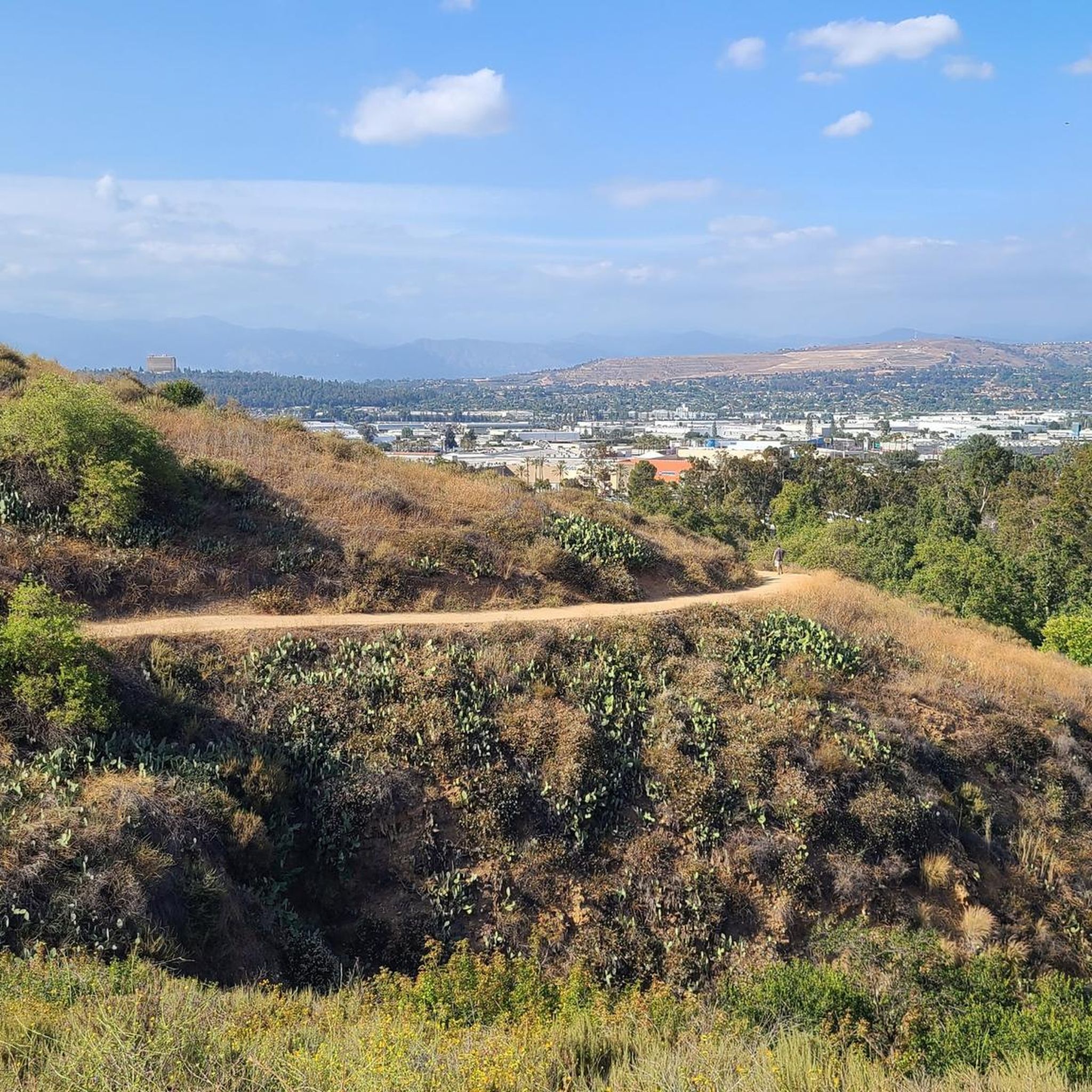


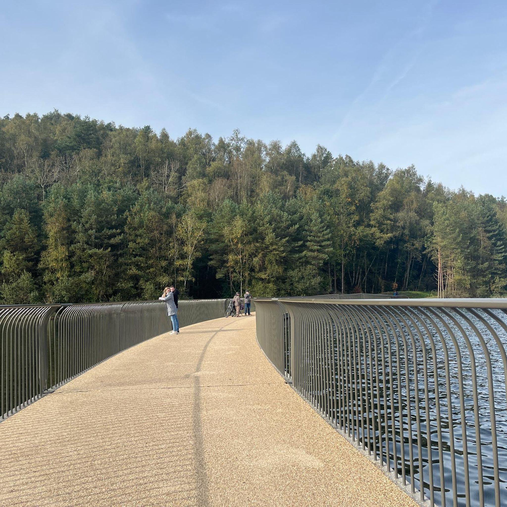
Tips from the Community

Leafy park with lawns and shaded seating, restrooms, drinking water fountains, and a bike repair station. Great for a break or as trailhead to ride west along the dedicated Duarte Bike Trail, a multi-purpose trail that was founded in 1977. It stretches 1.6 miles from Royal Oaks Park at Vineyard Avenue to Buena Vista Avenue. Next to the paved cycling path runs a dirt jogging and equestrian trail shaded by oak trees. The gently sloped trail follows the historic Pacific Electric Railway route, passing an arched bridge that once carried Red Trolley Cars to Los Angeles.
1
0
Frequently Asked Questions
Are there any easy, family-friendly hikes near Baldwin Park?
Yes, the area offers several easier trails perfect for a family outing. A great option is the Turnbull Debris Basin loop from Whittier. It's a relatively flat and manageable walk. Another popular spot for families is the Santa Fe Dam Recreation Area, which features a large park with a 70-acre lake and paved paths suitable for all ages.
Where can I find a hike with a waterfall?
For a rewarding hike to a waterfall, the Waterfall loop from Arcadia is a fantastic choice. This easy trail takes you through a canyon to a seasonal waterfall. Keep in mind that the water flow can vary greatly depending on the time of year and recent rainfall.
Are dogs allowed on the hiking trails?
Many trails in the Baldwin Park area are dog-friendly, but rules can vary by park and jurisdiction. Generally, dogs must be kept on a leash. The trails in the Puente Hills, such as those starting from the Hacienda Hills Trailhead, are popular with dog walkers. Always check the specific regulations for the park you plan to visit before you go and bring plenty of water for your pet.
What's a good trail for a more challenging hike?
If you're looking for a challenge with significant elevation gain, consider the Whittier Hill – Puma Trail loop from Hillgrove. This moderate route involves a climb of over 1,000 feet on dirt trails, rewarding you with expansive views from the top of the Puente Hills.
Where can I find the best scenic viewpoints?
For some of the most impressive panoramic views, head to the Baldwin Hills Scenic Overlook. This highly-regarded state park offers breathtaking vistas of the Los Angeles Basin and the Pacific Ocean from its 500-foot peak. You can take a steep staircase for a workout or a more gradual trail to the top.
How should I prepare for a summer hike in this area?
Summer hiking in Southern California requires preparation. Start your hike early in the morning to avoid the midday heat. Wear lightweight, light-colored clothing, a hat, and sunscreen. Most importantly, carry more water than you think you'll need, as many trails are exposed with little shade.
What are the trail conditions like around Baldwin Park?
The terrain is quite varied. You'll find everything from paved paths in local parks to wide, graded fire roads and single-track dirt trails in the surrounding hills. The Puente Hills and San Gabriel Mountain foothills are characterized by chaparral-covered landscapes, so expect dry and sometimes dusty conditions, especially in summer.
Is it easy to find parking at the trailheads?
Parking availability differs by location. Popular trailheads like those for Eaton Canyon or the Baldwin Hills Scenic Overlook can fill up quickly, especially on weekends, so arriving early is recommended. Some locations, like the Baldwin Hills Scenic Overlook, may have parking fees. For smaller, local trailheads, you may find street parking in adjacent residential areas.
What do other hikers think of the trails around Baldwin Park?
The trails are highly rated by the komoot community, with an average score of 4.9 stars. Hikers often praise the accessibility of the trails from the city and the rewarding views you get from the hilltops over the surrounding urban landscape.
Are there any good circular hikes?
Yes, many of the best routes are loops, allowing you to enjoy different scenery on your return. A popular moderate loop is the Whittier Hill – Turnbull Debris Basin loop from Hacienda Heights, which covers about 5 miles in the Puente Hills.
What kind of wildlife might I see?
While hiking in the hills and canyons around Baldwin Park, you might encounter a variety of wildlife. It's common to see birds like hawks and roadrunners, as well as rabbits and squirrels. Lizards are also a frequent sight on the trails. In more remote areas, it's possible to spot deer or coyotes, so it's always wise to be aware of your surroundings.
Most popular attractions around Baldwin Park

Get inspired with the komoot mobile app


Explore more
Browse the best Hikes in other regions.
