The best walks and hikes around Camarillo
4.8
(40)
717
hikers
96
hikes
Hiking around Camarillo offers routes that navigate a landscape of rolling hills, agricultural plains, and volcanic rock formations. The region is situated between the Santa Monica Mountains to the south and the Las Posas Hills to the north, providing a mix of elevations and terrains. Trails run through open spaces like Conejo Canyons and local parks, with some extending to scenic coastal views. This geography supports a variety of hiking experiences, from easy paths to more moderate climbs.
Best hiking…
Last updated: October 11, 2026
9
hikers
8.35km
02:27
220m
210m
The Canyon Overlook Trail to Wildwood Canyon Trail Loop offers a fantastic journey through Wildwood Park's diverse ecosystems. You'll wind through southern oak woodlands and chaparral, enjoying panoramic views into…
8
hikers
9.90km
02:43
150m
160m
The Vista Del Mar Loop is a fantastic choice if you're after a hike that truly lives up to its name, offering expansive views of the Pacific Ocean and Channel…

2
hikers
10.7km
03:07
290m
280m
Hike the moderate 6.7-mile Hidden Rim, Col du Conejo, and Elliot Mountain Loop for diverse terrain and panoramic views in Conejo Canyons.
1
hikers
4.35km
01:09
40m
40m
Enjoy an easy 2.7-mile hike on the CSU Channel Islands Park Loop, featuring wildflowers, wildlife, and the historic "Scary Dairy."
4.0
(1)
1
hikers
13.8km
04:10
420m
420m
Hike the moderate 8.6-mile Hill Canyon, Calle Yucca and Mesa Trail Loop in Wildwood Regional Park, featuring creek views and diverse terrain
Get access to more routes and recommendations from other explorers.
Already have an account?
Our route recommendations are based on thousands of hikes, rides, and runs completed by other people on komoot.
Start today with a free account
Your next adventure awaits.
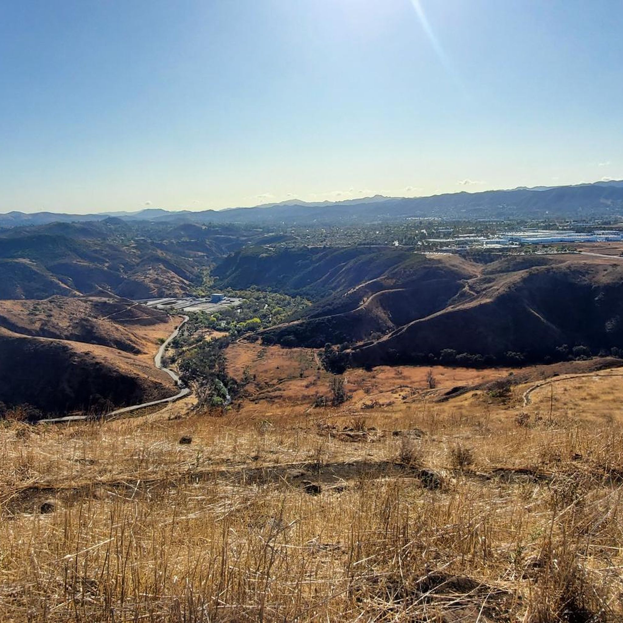
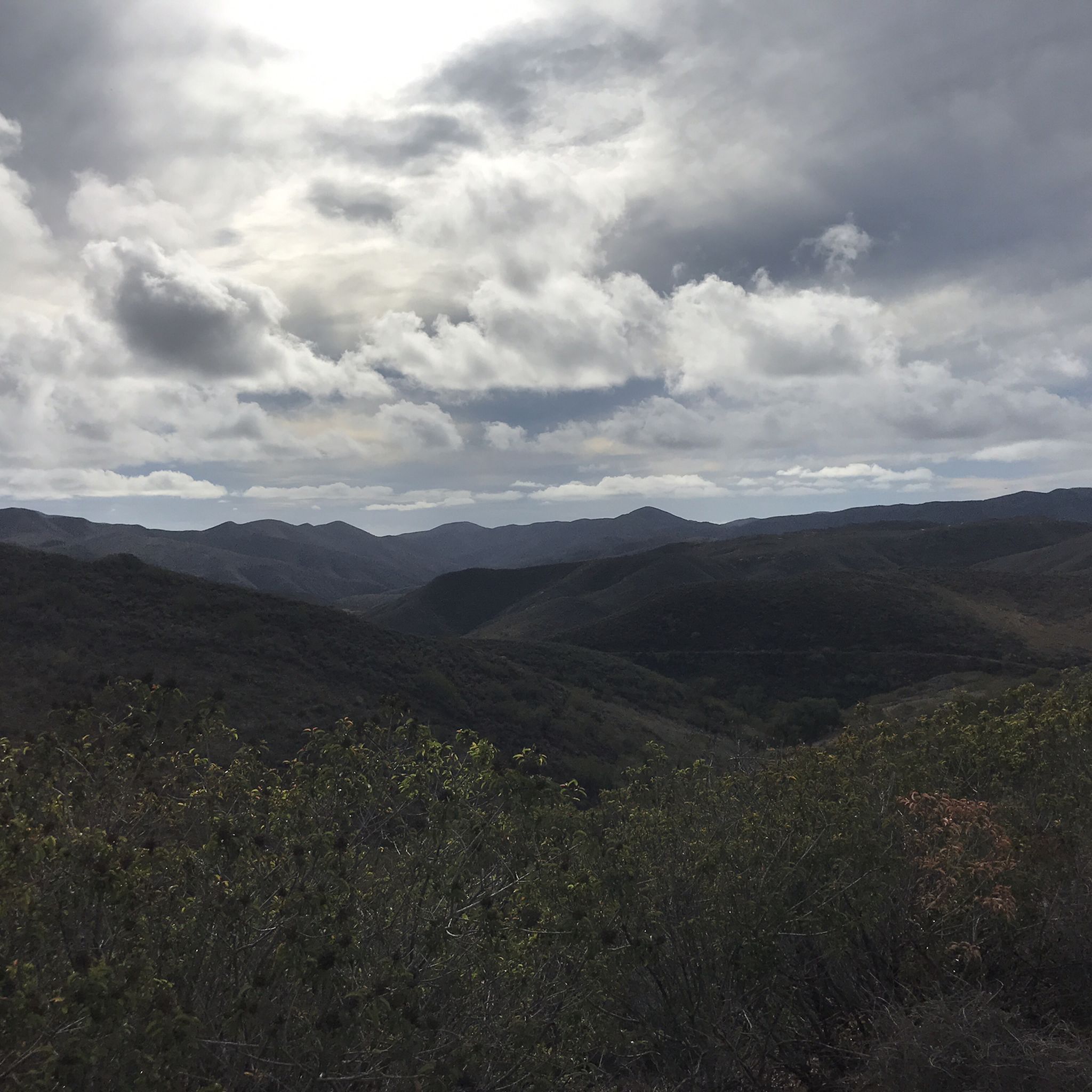
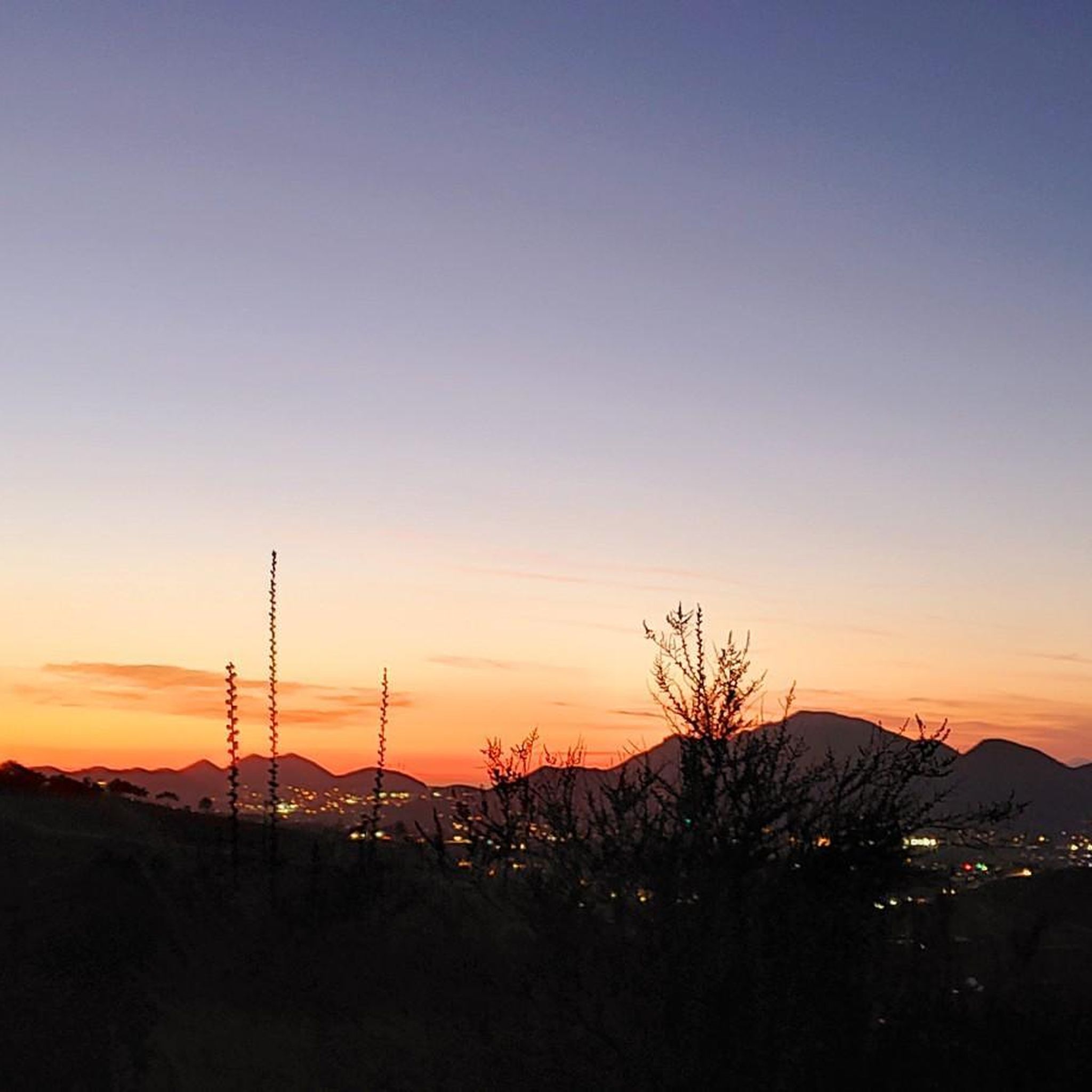
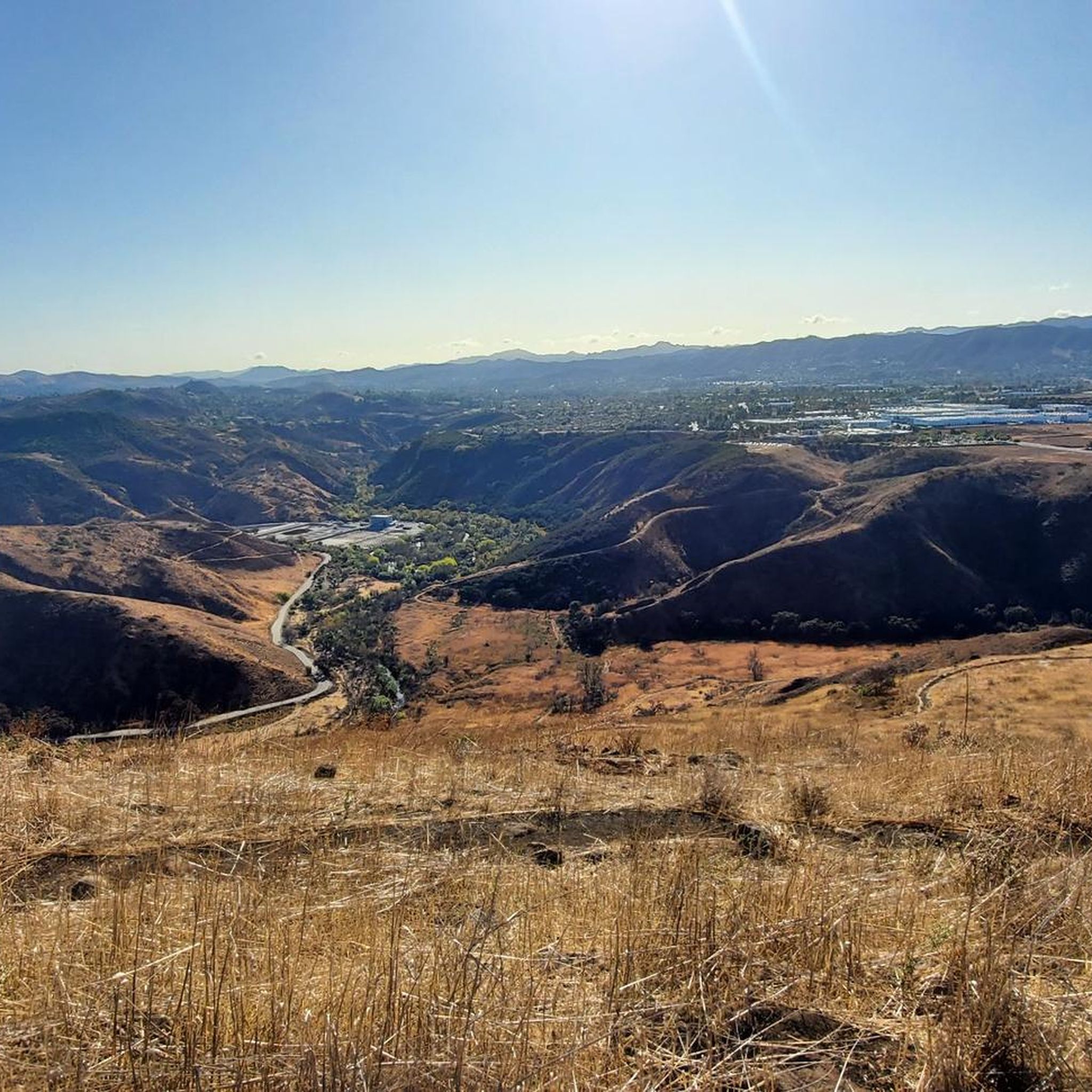

Tips from the Community

This is the perfect picnic site for your hike!
0
0

North Tepee Trail is a short, scenic connector road splitting from the Mesa Trail and taking you into Wildwood Canyon. The path is wide and well-maintained, without any technical sections.
0
0

Nice place to take a little break in the shade
0
0

This is a great place with a bench to take a break, have a snack and enjoy the views. There is a bike bell box at the entrance, which mountain bikers can borrow a bell to put on their bike so that other trail users can hear them coming and yield.
0
0
Some spots on the trail are overgrown, so pants are recommended. There is no drinking water in the park, nor restrooms, benches, or tables. Overall, the area is quiet and amazing views can be had. csuci.edu/cipark/visiting.htm
0
0

Paradise Falls is a 45-foot waterfall in Wildwood Park. There are some steps leading to the main viewing area. Be prepared to leave your bike behind for a moment unless you are fine with a distant view of the falls.
0
0
There are two small water crossings here that utilize a small bridge to keep your feet dry. Depending on water levels, you may be able to forego the wood platform.
0
0
Frequently Asked Questions
Are there any easy, beginner-friendly hikes in Camarillo?
Yes, there are many options for beginners. The CSU Channel Island Trail loop is a great choice, offering a relatively flat 5.2 km walk. Another excellent option is the lower loop in Camarillo Grove Park, which is a gentle trail that winds past interesting volcanic rock formations.
What are some good moderate hikes for a bit more of a challenge?
For a more strenuous hike, the upper loop at Camarillo Grove Park provides a significant 600-foot (about 180 meters) elevation gain over one mile, rewarding you with panoramic views. Another great moderate option is the Box Canyon via Stagecoach Bluff Trail loop, a 7.3 km route through open canyon terrain.
Can I bring my dog on the trails around Camarillo?
Many trails in the area are dog-friendly, but policies can vary, so it's always best to check signage at the trailhead. Camarillo Grove Park is a popular spot for dog owners as it features hiking trails and a dedicated dog park. Remember to keep your dog on a leash and bring water for them.
Are there any waterfall hikes near Camarillo?
Yes, you can hike to a waterfall nearby. Paradise Falls is a well-known 40-foot waterfall located within Wildwood Regional Park in Thousand Oaks, a short drive from Camarillo. The park has several trails leading to the falls, which are a popular destination for local hikers.
What are the best hiking options for families with kids?
Hill Canyon Trail is a great choice for families. It's a relatively easy, multi-use trail with scenic mountain views where you might spot local wildlife. For a shorter outing, the Index Finger Trail loop is just 2.5 km and suitable for all skill levels.
Where can I find hikes with ocean views?
For stunning coastal scenery, head to Point Mugu State Park, just a short drive from Camarillo. The park, located in the Santa Monica Mountains, offers over 70 miles of trails with beautiful views of the Pacific Ocean. The Point Mugu Scenic and Overlook Trails Loop is a popular choice for its combination of ocean vistas and wildflowers.
How many hiking trails are there around Camarillo?
There are over 70 hiking routes to explore around Camarillo. These range from 36 easy walks suitable for all fitness levels to 32 moderate trails and 6 difficult hikes for those seeking a challenge.
What do other hikers think of the trails in Camarillo?
The trails around Camarillo are highly regarded by the komoot community, holding an average rating of 4.8 out of 5 stars. Hikers often praise the region's diverse landscapes, from the rolling hills and canyons to the well-maintained paths in local parks and open spaces.
When is the best time of year to see wildflowers on the trails?
Spring is the ideal time to see wildflowers in the Camarillo area. After the winter rains, trails in places like Hill Canyon and Point Mugu State Park often come alive with colorful blooms, adding to the scenic beauty of your hike.
Are there any challenging hikes for experienced trekkers?
Yes, the Santa Monica Mountains National Recreation Area, accessible near the CSU Channel Islands campus, offers over 500 miles of trails with plenty of challenging options. For a tough local climb, consider the Eliot Mountain via Outlaw Loop, which features a steady ascent to rewarding views.
What are some popular parks for hiking in the Camarillo area?
Several parks in and around Camarillo are favorites among hikers.
Camarillo Grove Park is a local gem known for its distinct upper and lower loop trails and unique volcanic rock formations.
Wildwood Regional Park is highly popular, largely due to being the home of Paradise Falls.
Point Mugu State Park is a major destination offering miles of trails with dramatic coastal views.
Most popular attractions around Camarillo

Get inspired with the komoot mobile app


Explore more
Browse the best Hikes in other regions.
