The best running trails around Dublin
3.0
(1)
265
runners
40
runs
Jogging routes around Dublin, California, offer a mix of suburban paths and natural trails. The region features gently rolling terrain, with routes often following local streets and designated greenways. Many running routes incorporate sections along arroyos, providing a natural setting within the urban landscape. This area provides accessible options for various running preferences.
Best jogging routes around Dublin
- The most popular jogging route is Running loop from Federal Correctional Institution, Dublin, a 4.1 miles (6.6 km) trail that takes…
Last updated: October 11, 2026
34
runners
11.6km
01:11
20m
20m
Moderate run. Good fitness required. Mostly paved surfaces. Suitable for all skill levels.
25
runners
9.15km
00:56
20m
20m
Moderate run. Good fitness required. Mostly paved surfaces. Suitable for all skill levels.

3.0
(1)
18
runners
Moderate run. Good fitness required. Mostly paved surfaces. Suitable for all skill levels.
14
runners
6.59km
00:41
20m
20m
Moderate run. Good fitness required. Mostly paved surfaces. Suitable for all skill levels.
13
runners
5.29km
00:33
20m
20m
Moderate run. Good fitness required. Mostly paved surfaces. Suitable for all skill levels.
Get access to more routes and recommendations from other explorers.
Already have an account?
Our route recommendations are based on thousands of hikes, rides, and runs completed by other people on komoot.
Start today with a free account
Your next adventure awaits.
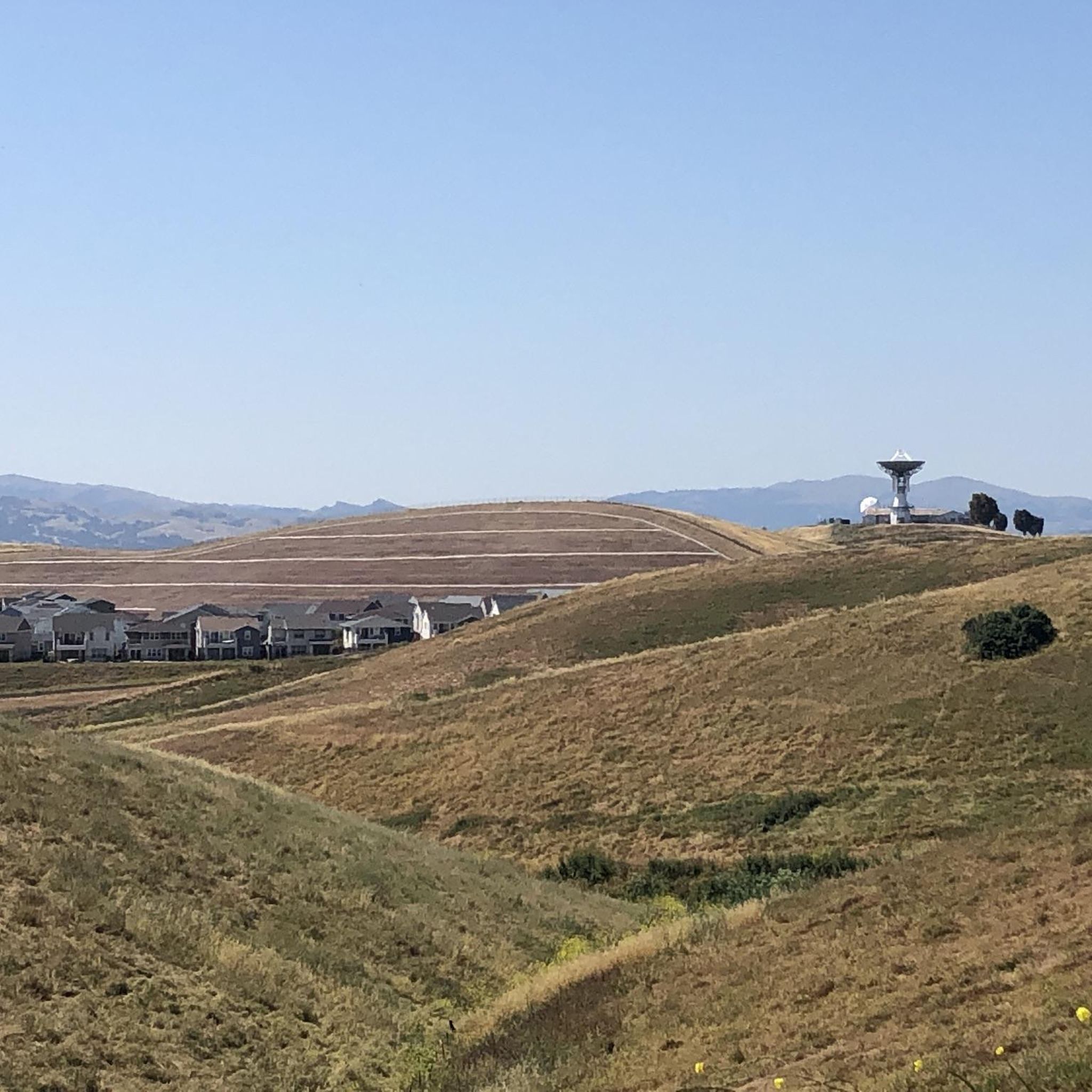
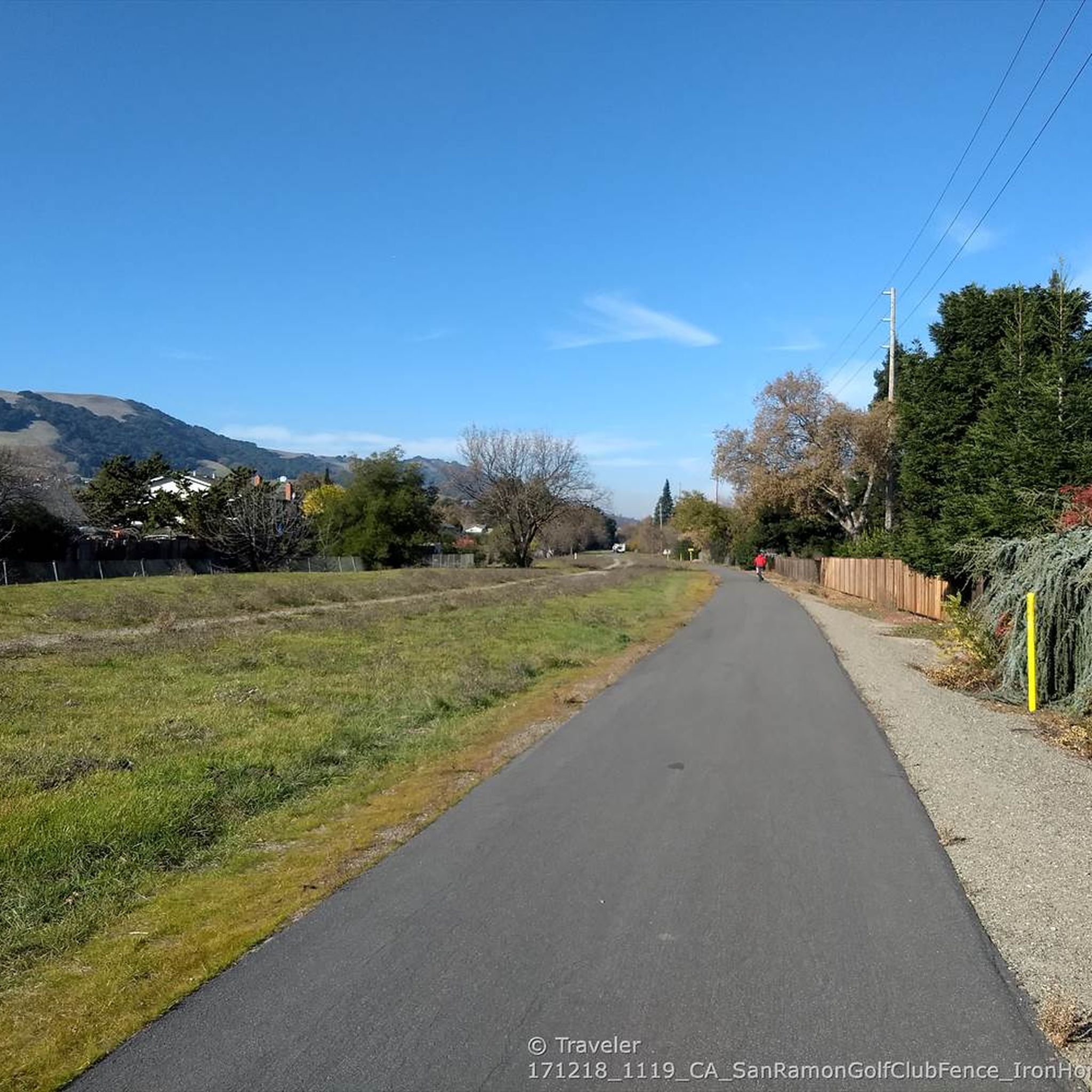
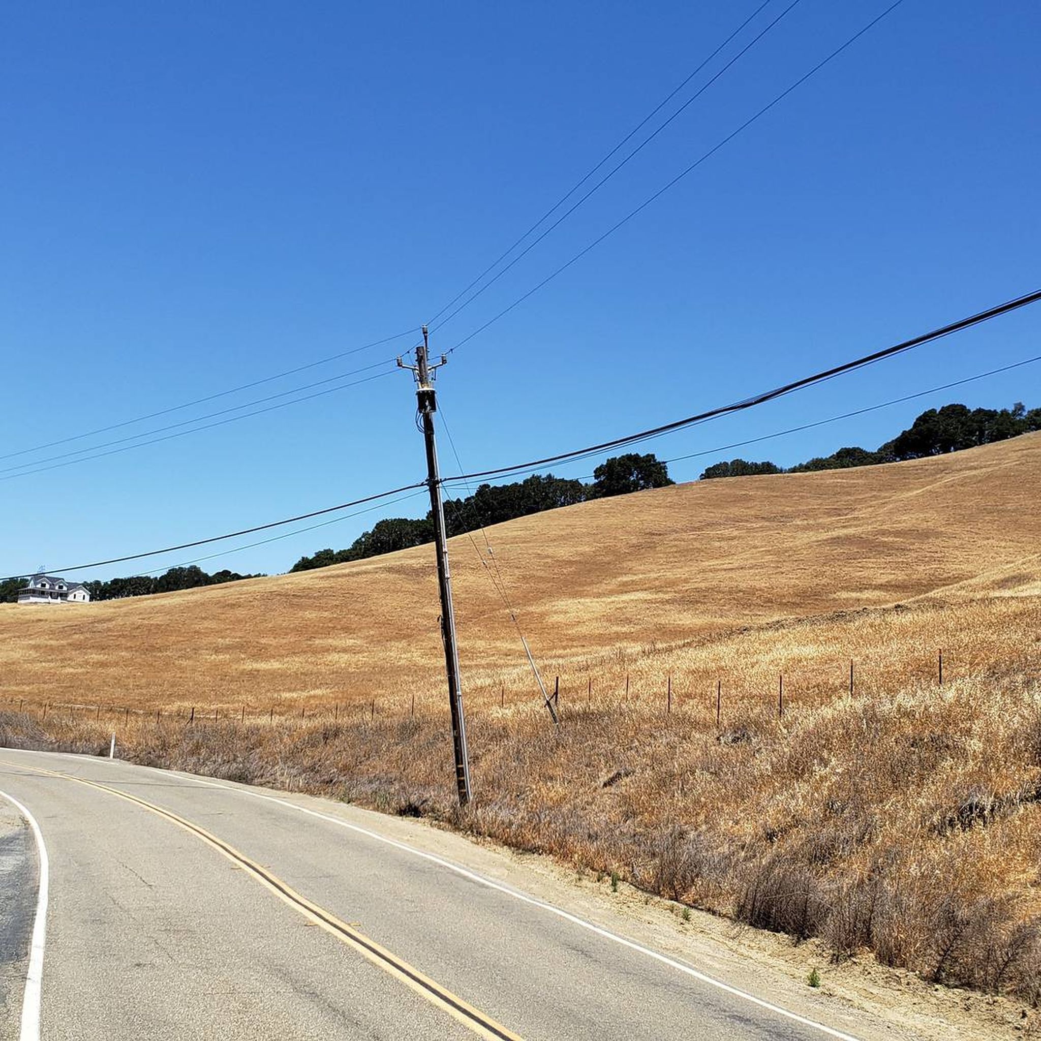
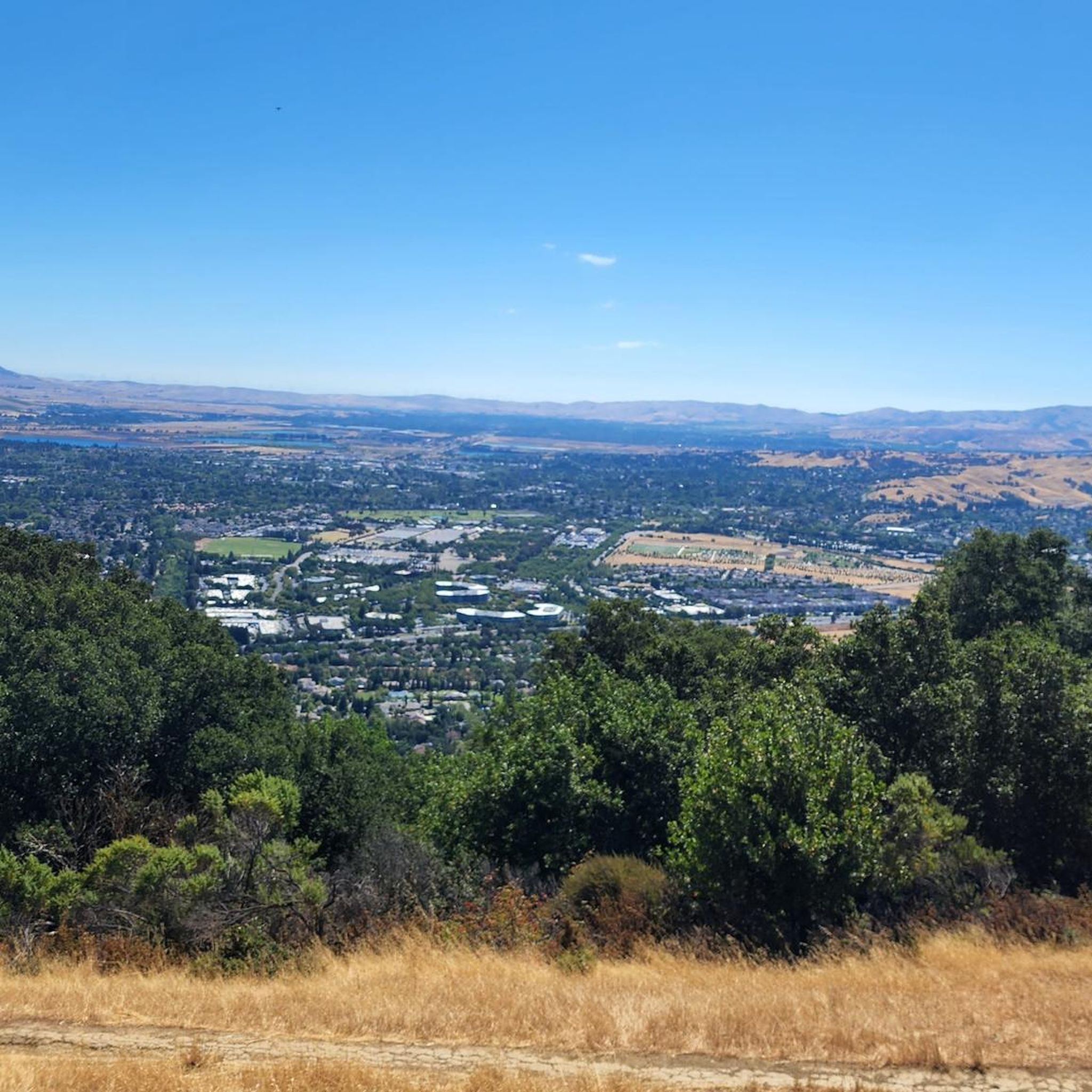

Tips from the Community

The Iron Horse Trail, open from 5 a.m. to 10 p.m., stretches 32 miles between Concord and Pleasanton, following the former Southern Pacific Railroad. The latest segment, connecting Pleasanton/Dublin BART to Santa Rita Road, opened in 2014 after nearly 30 years of planning. This multi-use trail links residential areas, schools, parks, and public transportation, providing a trail to the local community. This paved trail crosses roads but is a safe way of getting around away from traffic.
0
0

The trail runs through the great neighborhood of Southern San Ramon and crosses the bridge over Coyote Creek.
1
0
The Alamo Canal Trail can be found adjacent to the man-made waterway, the Alamo Canal. It is a short but useful trail, connecting riders and runners to other trails, like the Iron Horse Regional Trail.
0
0

South of the trail bridge marking the Alameda -Contra Costa County line a couple of shade structures provide some protection from the sun along this largely shadeless and tree-free section of the San Ramon Valley Iron Horse Trail
1
0
Part of the long North-South regional trail along the former San Ramon Valley railway, now Iron Horse Trail
0
0
The Iron Horse Trail is protected with a fence tunnel from flying golf balls as it passes through the Country Club with golf course greens on both sides.
0
0
Well managed community park with restrooms and water fountains and some benches with shade for a break on a run along the Iron Horse Trail
0
0
Follow Alamo Creek trail to get to Dougherty Hills Open Space and a nice gradual climb up along Dogherty Ridge dirt/gravel trails, or stay along Coyote Creek on or next to the paved Iron Horse Trail
1
0
Frequently Asked Questions
How many running routes are available in Dublin, California?
There are over 40 running routes around Dublin, California, catering to various preferences and fitness levels. The komoot community has explored these trails extensively, with over 250 visitors using komoot to discover the area's diverse running options.
What kind of terrain can I expect on jogging routes in Dublin, CA?
Jogging routes in Dublin, CA, primarily feature a mix of suburban paths, designated greenways, and natural trails along arroyos. The terrain is generally gently rolling, with many routes offering a flat profile ideal for maintaining a consistent pace. You'll find a blend of urban landscapes and natural settings.
Are there any easy running trails for beginners in Dublin, CA?
Yes, Dublin, CA, offers several easy running routes suitable for beginners. Out of the over 40 available routes, 6 are classified as easy, providing accessible options for those new to running or looking for a more relaxed pace. These routes typically feature minimal elevation gain.
Can I find longer, more challenging running routes in Dublin, CA?
Absolutely. For those seeking a greater challenge, Dublin, CA, has several longer and more difficult running routes. For instance, the Arroyo Mocho Trail – Arroyo Mocho Trail loop from West Dublin/Pleasanton is a challenging 10.6-mile (17.1 km) trail that takes about 1 hour 45 minutes to complete, leading through a natural arroyo landscape. There are 4 routes classified as difficult and 31 as moderate.
What do other runners say about the trails in Dublin, CA?
The running routes in Dublin, CA, are highly regarded by the komoot community. Many runners praise the variety of suburban greenways, arroyo trails, and local street paths. The network offers options for different ability levels, from easy loops to more challenging longer distances, making it a popular choice for local runners.
Are there any scenic spots or natural features to see while running in Dublin, CA?
While running in Dublin, CA, you can enjoy natural arroyo landscapes, particularly along routes like the Arroyo Mocho Trail – Arroyo Mocho Trail loop from West Dublin/Pleasanton. The region also features various green spaces and local parks. You might also encounter interesting landmarks such as the Livermorium Fountain and Monument or the Centennial Park Totem pole.
Are there any running routes that pass by lakes or water features in Dublin, CA?
Yes, some running routes in the Dublin, CA, area offer views of local lakes and water features. You might find yourself near spots like Jordan Pond or Cypress Lake at Central Park, providing a refreshing element to your run. The Don Castro Regional Recreation Area also features a lake.
What are some popular running loops in Dublin, CA?
Among the most popular running loops is the Running loop from Federal Correctional Institution, Dublin, a 4.1-mile (6.6 km) trail with minimal elevation gain. Another favorite is the Running loop from Dublin, a moderate 3.3-mile (5.3 km) path known for its flat profile.
Are there running routes accessible from public transport in Dublin, CA?
Many running routes in Dublin, CA, are situated within the urban and suburban areas, making them potentially accessible via local public transport options. For example, the Arroyo Mocho Trail – Arroyo Mocho Trail loop from West Dublin/Pleasanton starts near the West Dublin/Pleasanton area, which may have public transit connections.
Can I find running routes that are suitable for a longer endurance run in Dublin, CA?
For longer endurance runs, consider routes like the Arroyo Mocho Trail – Alamo Canal Trail loop from Dublin/Pleasanton. This route spans 10.5 miles (16.9 km) and offers a sustained running experience through arroyo and canal trail landscapes, typically taking over an hour to complete.
What is the typical duration for a run on Dublin, CA trails?
The duration of runs in Dublin, CA, varies significantly depending on the route and your pace. Shorter loops like the Running loop from Federal Correctional Institution, Dublin can be completed in about 40 minutes, while longer trails such as the Arroyo Mocho Trail – Arroyo Mocho Trail loop from West Dublin/Pleasanton might take around 1 hour 45 minutes.
Most popular routes around Dublin
Most popular attractions around Dublin

Get inspired with the komoot mobile app


Explore more
Browse the best Running Trails & Routes in other regions.
