The best cycling routes around Chino Hills
4.8
(19)
430
riders
44
rides
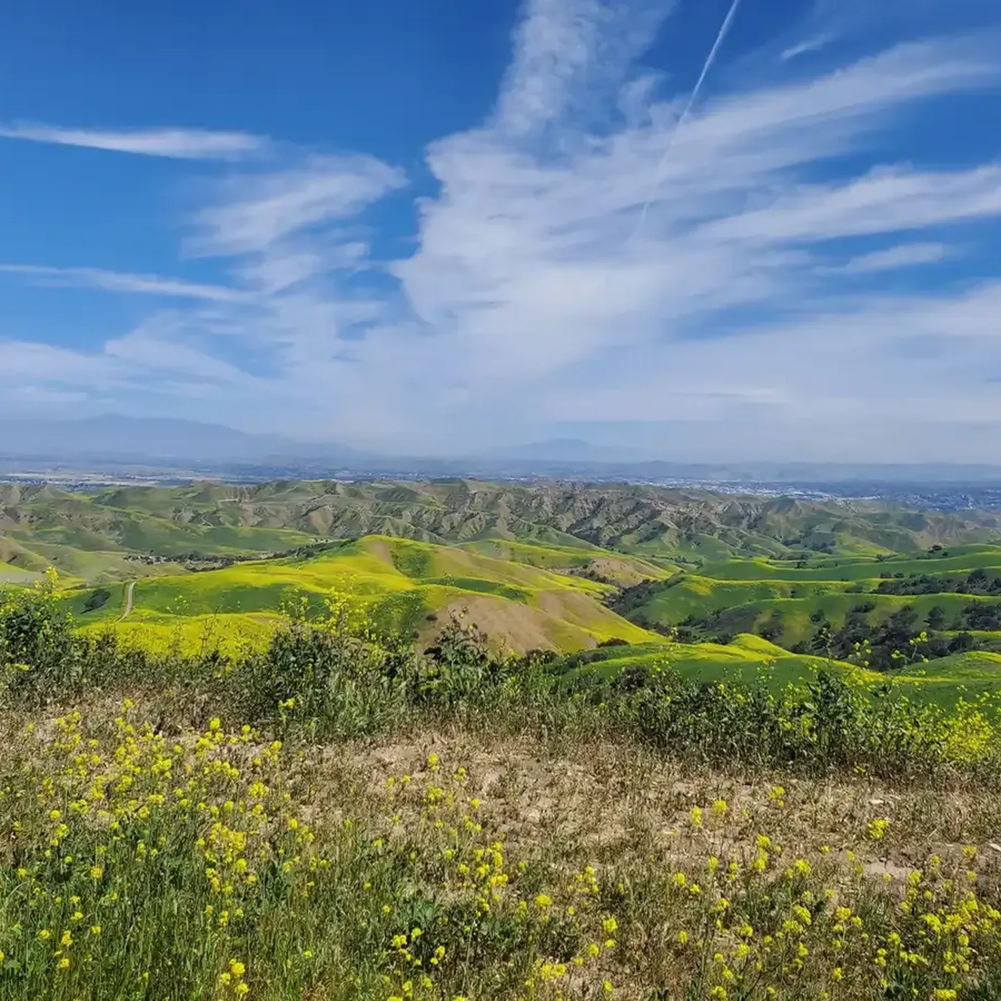
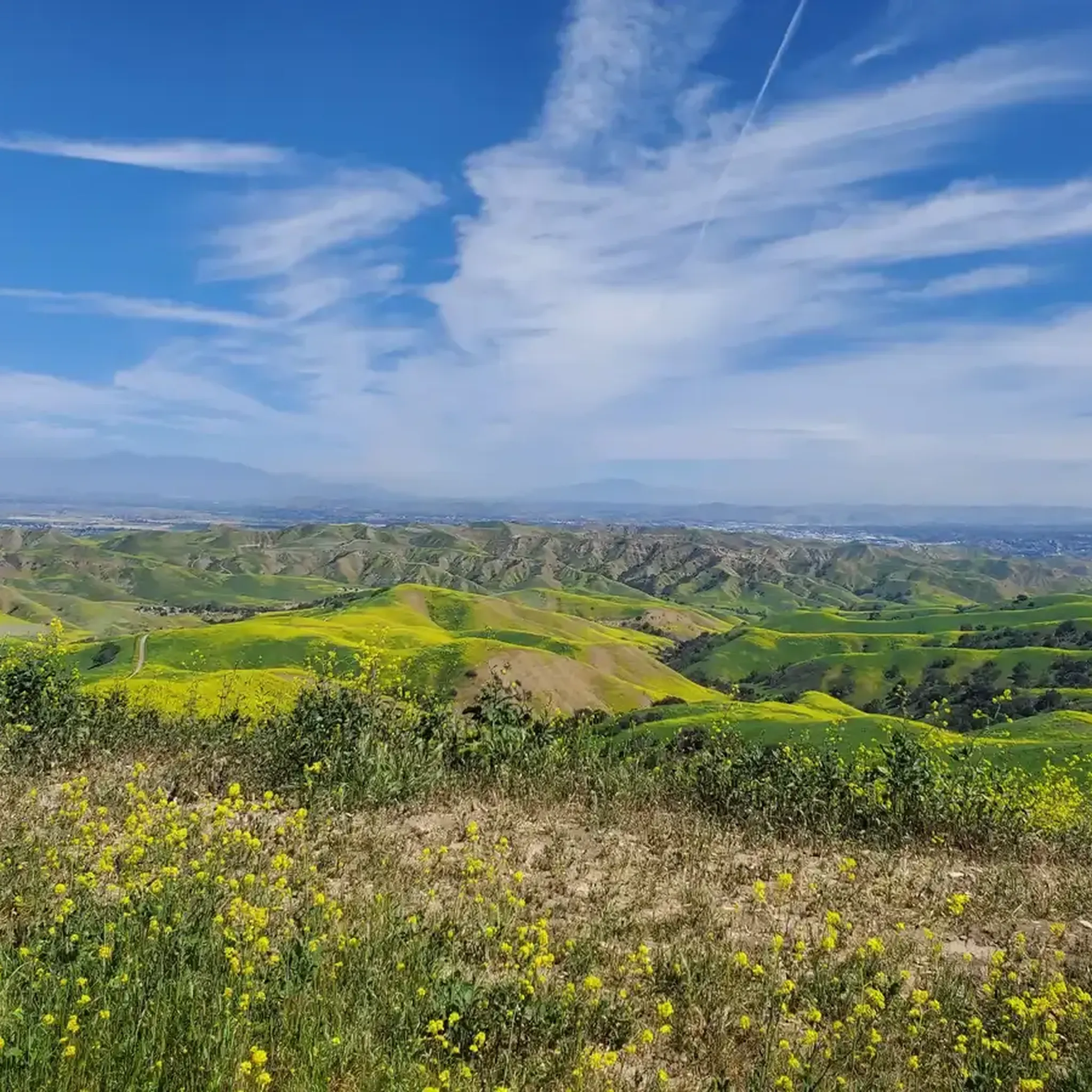
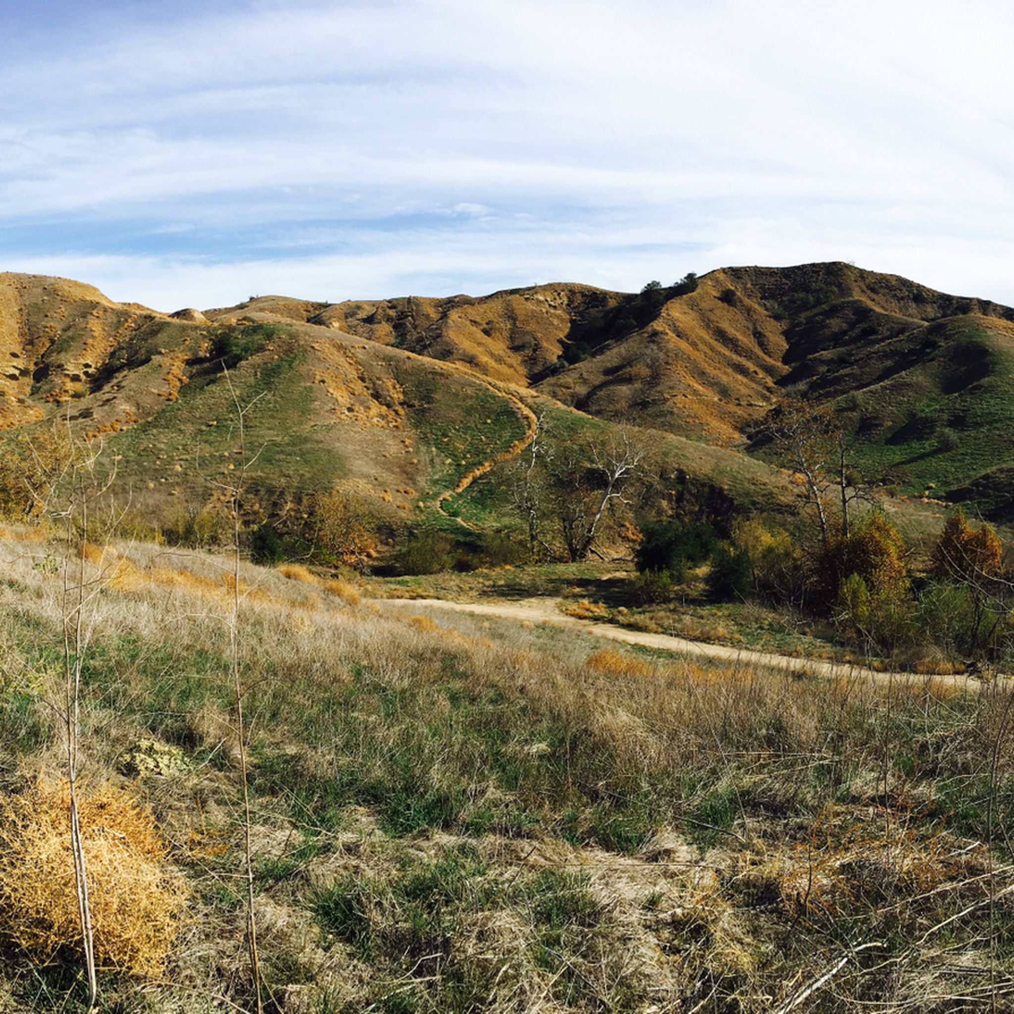
Touring cycling routes around Chino Hills are primarily found within and around Chino Hills State Park, an expansive natural open-space area. The landscape features rolling, grassy hills, dotted with stands of oaks and sycamores, and transitions through woodlands, sage scrub, and grasslands. The region offers a diverse trail system, including wide dirt paths and more technical single tracks, suitable for various cycling disciplines. Panoramic views of surrounding valleys and hills are accessible from several vantage points.
Best touring cycling routes around Chino Hills
- The most popular touring cycling route is Andersen Bump – Carbon Canyon Regional Park loop from Rincon Park, a 28.0 miles (45.0 km) trail that takes 4 hours 20 minutes to complete. This route incorporates sections of Carbon Canyon Regional Park, known for its nature trails.
- Another top favourite among local touring cyclists is Bane Ridge Trail – Rolling Ranch Campground loop from Rincon Park, a difficult 19.3 miles (31.1 km) path. This trail follows a ridgeline, offering scenic views of the park's varied terrain.
- Local touring cyclists also love the Lower Aliso Canyon Trail – Lower Aliso Canyon Trail loop from Rincon Park, a 14.3 miles (23.0 km) trail leading through Aliso Canyon, often completed in about 2 hours 5 minutes.
- Touring cycling around Chino Hills is defined by rolling hills, oak woodlands, and varied trail systems, with options ranging from easy paths to challenging climbs. The network includes routes suitable for different ability levels, from beginner to advanced.
- The routes in Chino Hills are highly rated by the komoot community with an average score of 4.7 stars from over 10 reviews. More than 500 touring cyclists have used komoot to explore Chino Hills's varied terrain.
Last updated: October 16, 2026
5.0
(2)
54
riders
Moderate bike ride. Good fitness required. Mostly paved surfaces. Suitable for all skill levels.
10
riders
71.2km
05:40
1,250m
1,250m
Hard bike ride. Very good fitness required. Mostly paved surfaces. Suitable for all skill levels.

20
riders
Moderate bike ride. Good fitness required. Mostly paved surfaces. Suitable for all skill levels.
10
riders
31.1km
03:03
640m
640m
Hard bike ride. Very good fitness required. Mostly paved surfaces. Suitable for all skill levels.
4.0
(1)
11
riders
53.5km
04:31
810m
810m
Hard bike ride. Very good fitness required. Mostly paved surfaces. Suitable for all skill levels.
Get access to more routes and recommendations from other explorers.
Already have an account?
Our route recommendations are based on thousands of hikes, rides, and runs completed by other people on komoot.
Start today with a free account
Your next adventure awaits.
Tips from the Community

This is the intersection of five trails: Raptor Ridge Trail, North Ridge Trail, Bovinian Delight Trail or Telegraph Canyon Road. There are also some boards with information about the trails and a restroom.
0
0

Bring plenty of water. There only are water fountains midway in Anaheim.
0
0

This view of Sierra Peak showcases one of the highest and most easily identifiable peaks in northern Orange County. It stands at 3,045 feet above sea level.
1
0
Nice wooden bridge along the Santa Ana River Trail. It takes you over the river and gives you a good view of the water.
1
0
It's slow-going on this steep climb. Once you get to the top, you're treated with a good view into the valley.
0
0

Set along the edge of the Santa Ana Canyon this park offers visitors a variety of amenities such as sports fields, picnic & BBQ areas, fishing, playgrounds, and more. The Santa Ana Trail runs along the edge of the park and allows you to access other nearby areas as well.
0
0

This is a cool, panoramic overlook with a placard off the side of the South Ridge Trail. The overlook is situated over the city and neighborhoods of Yorba Linda.
0
0

There is lots of parking here, and as you head away from the highway you have access to the paved two-lane Santa Ana River trail which stretches (nearly) all the way from San Bernardino to the Pacific Ocean. If you head west along the river trail you will come to Coal Canyon and can access the trails south of the highway.
1
0
Frequently Asked Questions
How many touring cycling routes are available in Chino Hills?
There are over 45 touring cycling routes in the Chino Hills area, offering a diverse range of experiences. These include 11 easy routes, 14 moderate routes, and 21 difficult routes, catering to various skill levels.
What kind of terrain can I expect on touring cycling routes in Chino Hills?
Chino Hills offers varied terrain, primarily within Chino Hills State Park. You'll encounter rolling, grassy hills, oak and sycamore stands, woodlands, sage scrub, and grasslands. Many routes feature wide dirt paths and fire roads, with some more technical single tracks. Expect unpaved segments and elevation gains up to 1500 feet on longer rides.
Are there any easy touring cycling routes suitable for beginners in Chino Hills?
Yes, there are several easy routes. For a relatively flat and accessible option, consider the Santa Ana River – Santa Ana River Trail Bridge loop from Santa Ana River Trail Parking, which is about 27.9 km long.
What are some challenging touring cycling routes in Chino Hills?
For experienced touring cyclists seeking a challenge, routes like the Andersen Bump – Carbon Canyon Regional Park loop from Rincon Park offer significant elevation gain over 45 km. Another difficult option is the Bane Ridge Trail – Rolling Ranch Campground loop from Rincon Park, known for its ridgeline views.
Are there any circular touring cycling routes in Chino Hills?
Many touring cycling routes in Chino Hills are loops, allowing you to start and end at the same point. Examples include the Lower Aliso Canyon Trail – Lower Aliso Canyon Trail loop from Rincon Park and the Bane Ridge Trail loop from Chino Hills High School.
What natural features or points of interest can I see along the touring cycling routes?
Chino Hills State Park offers diverse natural beauty. You can find panoramic views from various vantage points, lush riparian areas, and vibrant wildflowers in spring. Notable highlights include Black Star Falls, the unique Twisted Tree in Carbon Canyon Regional Park, and a Redwood Grove. You might also spot wildlife like coyote and deer.
Are there any scenic viewpoints accessible by touring bike in Chino Hills?
Yes, Chino Hills offers several scenic viewpoints. From various trails, you can enjoy panoramic views of the surrounding valleys and hills. Specific peaks like Robber's Peak, Gilman Peak, and Sierra Peak Summit provide excellent vistas.
What is the best time of year to go touring cycling in Chino Hills?
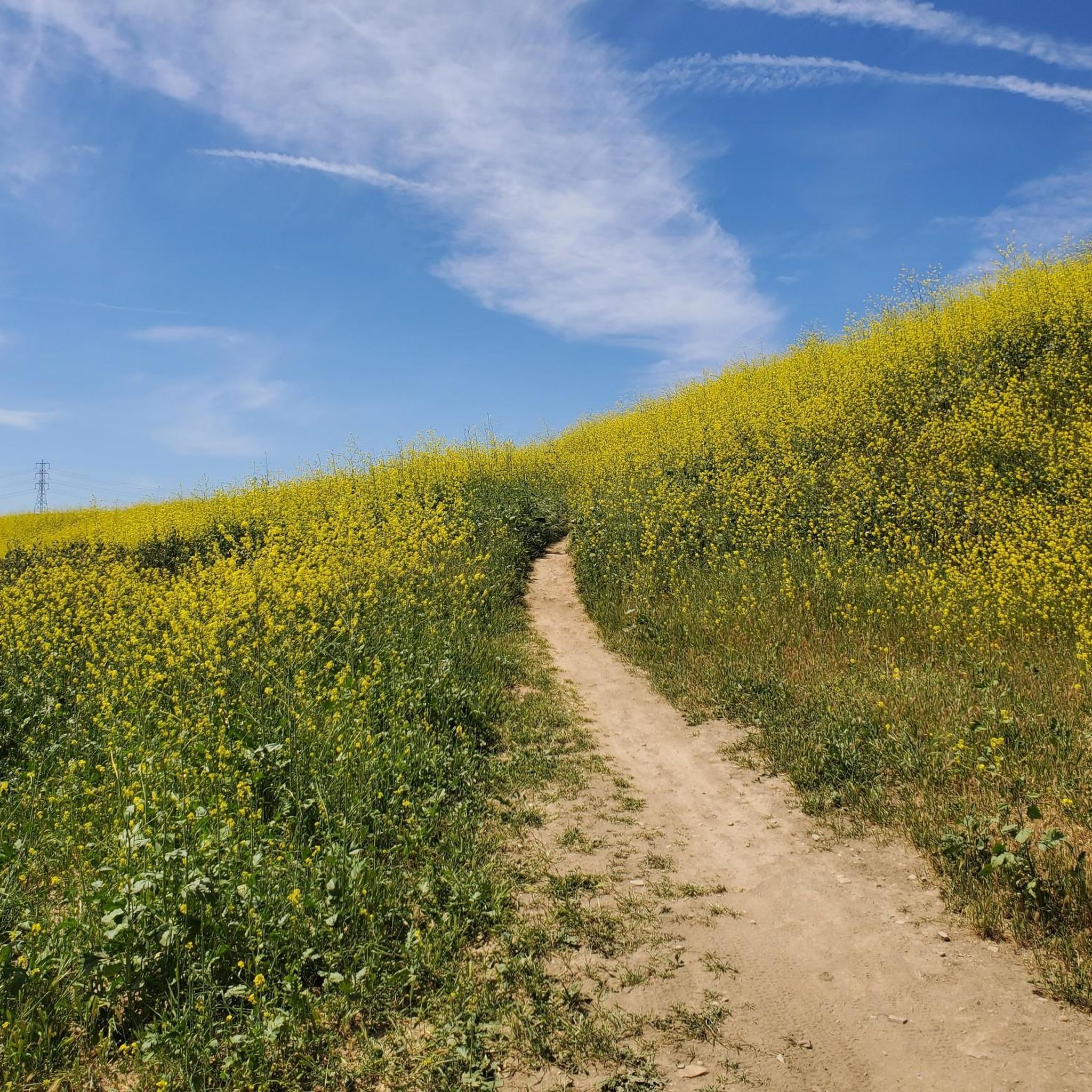
The wetter months and spring are particularly picturesque in Chino Hills. Spring brings a vibrant display of wildflowers across the green hills. However, it's advisable to check the park's website for trail closures during very wet conditions or periods of high fire danger.
What type of bike is recommended for touring cycling in Chino Hills?
Due to the varied terrain, which includes dirt paths, fire roads, and some technical sections, a gravel, mountain, or touring bike with dirt tires (35mm or larger) is often recommended for touring cycling in Chino Hills.
What do other touring cyclists say about the routes in Chino Hills?
The touring cycling routes in Chino Hills are highly rated by the komoot community, with an average score of 4.7 stars from over 10 reviews. Cyclists often praise the varied terrain, scenic views, and the extensive network of trails within Chino Hills State Park.
Are dogs allowed on touring cycling trails in Chino Hills?
Within Chino Hills State Park, dogs are generally permitted on paved roads and in developed areas, but usually not on unpaved trails. It's best to check the specific regulations on the official California State Parks website before your visit: parks.ca.gov/ChinoHills.
Where can I find information about trail closures in Chino Hills State Park?
Trails in Chino Hills State Park may be closed during wet conditions or periods of high fire danger. It is crucial to check the park's official website for current closure information before planning your ride. You can find this information on the California State Parks website: parks.ca.gov/ChinoHills.
Most popular routes around Chino Hills
Most popular attractions around Chino Hills

Get inspired with the komoot mobile app


Explore more
Browse the best Cycling routes in other regions.
