The best running trails around Placentia
4.2
(15)
1,313
runners
113
runs
Jogging around Placentia offers access to a variety of natural features, including rolling foothills, urban greenways, and diverse ecosystems. The region is characterized by parks, trails, and river paths suitable for outdoor activities. Joggers can explore oak woodlands, chaparral, and even redwood groves within accessible areas. These varied landscapes provide a range of running experiences for different preferences.
Best jogging routes around Placentia
- The most popular jogging route is Santa Ana River Trail, a 7.1 miles (11.5 km) trail…
Last updated: August 20, 2026
19
runners
11.5km
01:15
20m
20m
Jog the moderate 7.1-mile Santa Ana River Trail near Yorba Regional Park, enjoying diverse scenery and passing the Yorba Regional Park ponds
5.0
(1)
14
runners
4.89km
00:32
80m
80m
The Panorama and East Coyote Hills Loop Trail offers a refreshing 3.0-mile (4.9 km) jogging experience, blending natural terrain with impressive urban views. This easy route, with its 256 feet…

Sign up for free
9
runners
24.1km
03:06
500m
500m
Jog the difficult 14.9-mile South Ridge and Telegraph Canyon Trail Loop in Chino Hills State Park, featuring diverse terrain and scenic view
9
runners
28.5km
03:01
70m
70m
Jog this difficult 17.7-mile (28.5 km) segment of the Santa Ana River Trail, gaining 241 feet (73 metres) from Riverdale Park to Edna Park.
8
runners
11.9km
01:31
210m
210m
Jog the moderate 7.4-mile South Ridge and Telegraph Canyon Loop in Chino Hills State Park, featuring open vistas and shaded canyons.
Get access to more routes and recommendations from other explorers.
Sign up for free
Already have an account?
Our route recommendations are based on thousands of hikes, rides, and runs completed by other people on komoot.
Start today with a free account
Your next adventure awaits.
Login or Signup
Tips from the Community

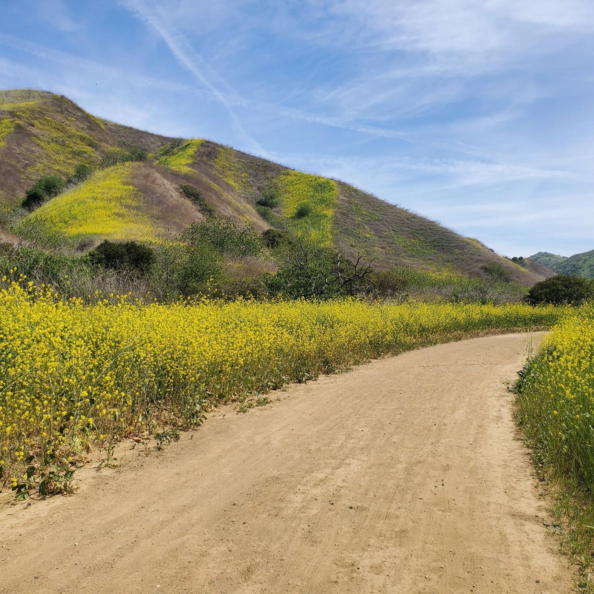
This is the intersection of five trails: Raptor Ridge Trail, North Ridge Trail, Bovinian Delight Trail or Telegraph Canyon Road. There are also some boards with information about the trails and a restroom.
0
0

This is a cool, panoramic overlook with a placard off the side of the South Ridge Trail. The overlook is situated over the city and neighborhoods of Yorba Linda.
0
0

Andersen Bump is a 482m high hilltop that rises above the city of Los Angeles in California. It provides some wonderful views of the surrounding peaks that make up the Water Canyon Natural Preserve, and on a clear day, across the city and toward the ocean, too.
0
0

This trail starts off of Canterbury Lane and runs around the west and North sides of the Coyote Hills Golf Course.
0
0

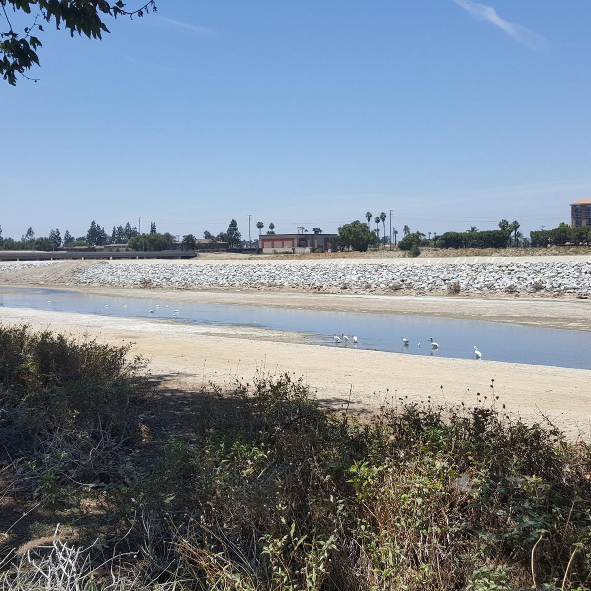
Probably the most appealing section of the river trail in Orange County, this part of the Santa Ana River Trail runs alongside the Riverview Park and Golf Course. Here you get greenery and trees instead of a concrete river channel.
0
0

This area of trail has a nice view of the residential area of Yorba Linda.
0
0
Carbon Canyon Regional Park is a great local park with a small lake and some nature trails featuring redwoods and the Carbon Canyon Creek. It connects to Chino Hills State Park.
0
0

Frequently Asked Questions
How many running routes are available around Placentia?
Placentia offers a wide selection of running routes, with over 100 options available. These routes cater to various fitness levels, ranging from easy park loops to more challenging trails with significant elevation changes.
Are there easy jogging routes suitable for beginners in Placentia?
Yes, Placentia has 14 easy jogging routes perfect for beginners or those looking for a relaxed run. A great option is the Panorama and East Coyote Hills Loop Trail, an easy 3.0-mile path that provides pleasant views of the rolling foothills.
What kind of terrain can I expect on Placentia's running trails?
The running trails in Placentia feature diverse terrain, including mostly paved surfaces along river trails, urban greenways, and natural paths through rolling foothills. You can experience oak woodlands, chaparral, and even redwood groves, offering varied landscapes for your run.
Are there any running routes that offer scenic views or natural features?
Absolutely! Many routes in Placentia boast scenic views. The South Ridge and Telegraph Canyon Loop, for instance, leads through diverse landscapes with scenic vistas. You can also find segments of the Santa Ana River Trail that pass by ponds and offer views of the water, and Carbon Canyon Regional Park features a grove of redwoods.
Are there any family-friendly jogging routes in Placentia?
For families, Tri-City Park is an excellent choice. It's a 40-acre greenspace with well-maintained walking trails around an 8-acre lake, perfect for a leisurely jog with children. The Yorba Linda Lakebed Park Loop is another easy 2.4-mile option with diverse terrain suitable for all ages.
What do other runners enjoy most about jogging in Placentia?
The running routes in Placentia are highly rated by the komoot community, with an average score of 4.3 stars from over 15 reviews. Runners often praise the variety of landscapes, from river paths to rolling hills, and the accessibility of trails for different ability levels.
Are there any notable landmarks or attractions along the running routes?
Yes, several routes offer access to interesting landmarks and natural attractions. Along the Santa Ana River Trail, you can find the Santa Ana River Trail at Yorba Regional Park. Carbon Canyon Regional Park, which features a small lake and a redwood grove, is also accessible. Additionally, Tri City Park Lake is a popular spot for joggers.
Can I find longer, more challenging running routes in the Placentia area?
Yes, for those seeking a greater challenge, Placentia offers several difficult routes. The South Ridge and Telegraph Canyon Trail Loop is a demanding 14.9-mile route with significant elevation changes, requiring good fitness. Another challenging option is a longer segment of the Santa Ana River Trail, spanning over 17 miles.
Are there any loop trails for running in Placentia?
Yes, loop trails are available for runners who prefer not to retrace their steps. The Panorama and East Coyote Hills Loop Trail is a popular easy loop. For a more challenging option, the South Ridge and Telegraph Canyon Loop offers a moderate 7.4-mile circuit through diverse landscapes.
What are the typical elevation changes on running routes around Placentia?
Elevation changes vary significantly across Placentia's running routes. Easy routes like the Santa Ana River Trail segments might have minimal elevation gain (around 16 meters), while more difficult trails, such as the South Ridge and Telegraph Canyon Trail Loop, can feature substantial climbs of over 495 meters, catering to all skill levels.
Are there any parks in Placentia that are particularly good for running?
Tri-City Park is highly recommended for running due to its expansive greenspace and scenic path around an 8-acre lake. Carbon Canyon Regional Park also offers excellent nature trails, including a redwood grove, making it a great spot for a varied run.
Most popular attractions around Placentia

Get inspired with the komoot mobile app


Explore more
Browse the best Running Trails & Routes in other regions.
