The best running trails around Dreilägerbachtalsperre
4.4
(771)
8,272
runners
520
runs
Jogging routes around Dreilägerbachtalsperre offer a variety of options for runners of all levels. The region is characterized by the Dreilägerbachtalsperre lake itself, surrounded by forests and natural landscapes. Many running routes feature accessible paths, including paved and gravel sections, providing a comfortable surface. The terrain includes gentle hills, with most elevation gains remaining under 200 meters.
Best jogging routes around Dreilägerbachtalsperre
- The most popular jogging route is Dreilägerbach Dam – Dreiborn Dam loop from Roetgen, a 3.8 miles…
Last updated: July 4, 2026
4.0
(1)
12
runners
Moderate run. Good fitness required. Mostly paved surfaces. Suitable for all skill levels.
34
runners
9.61km
01:01
130m
130m
Moderate run. Good fitness required. Mostly paved surfaces. Suitable for all skill levels.

Sign up for free
3.0
(1)
38
runners
11.2km
01:10
110m
110m
Moderate run. Good fitness required. Mostly paved surfaces. Suitable for all skill levels.
5.0
(1)
19
runners
18.6km
02:08
180m
180m
Hard run. Very good fitness required. Mostly paved surfaces. Suitable for all skill levels.
1.0
(1)
14
runners
10.3km
01:06
150m
150m
Moderate run. Good fitness required. Mostly paved surfaces. Suitable for all skill levels.
Get access to more routes and recommendations from other explorers.
Sign up for free
Already have an account?
Our route recommendations are based on thousands of hikes, rides, and runs completed by other people on komoot.
Start today with a free account
Your next adventure awaits.
Login or Signup
Tips from the Community

Pleasant resting place on the outskirts of Lammersdorf
0
0

A very nice pond for a short break....
0
0

Many newly built bridges. :)
0
0

Shelter Am Butterstrauch built in 1964 by the Nordeifel Nature Park Association.
2
0

Eifelsteig, stage 1 of 15 (Kornelimünster - Roetgen) https://youtu.be/J2cbeCOpVUk
0
0

Update October 2024: new bridges over Vichtbach have been completed, not only this one, but also the second Schleebach bridge located close upstream below the dam, as well as both bridges located near Rott
2
0

Not a highlight, but important note
1
0

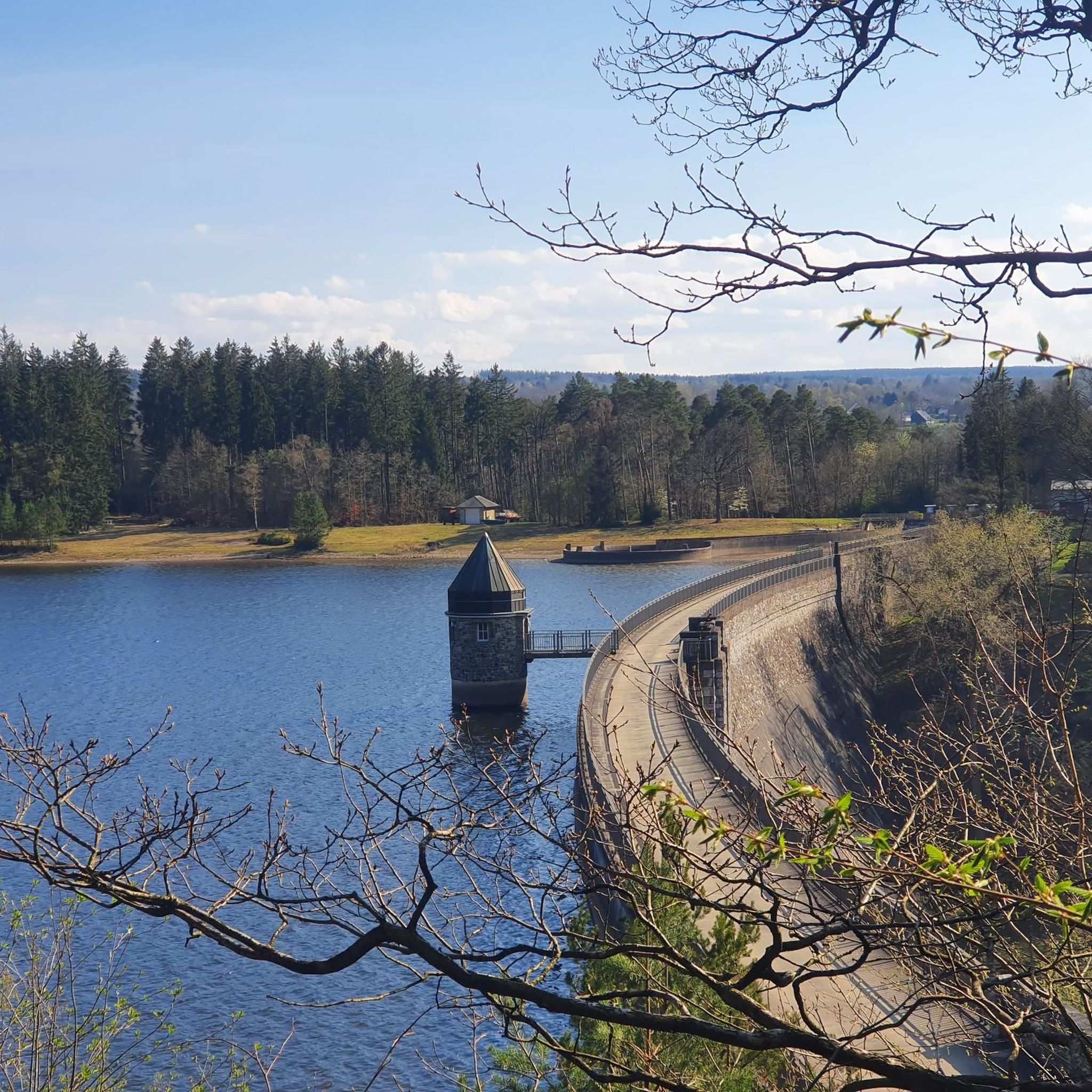
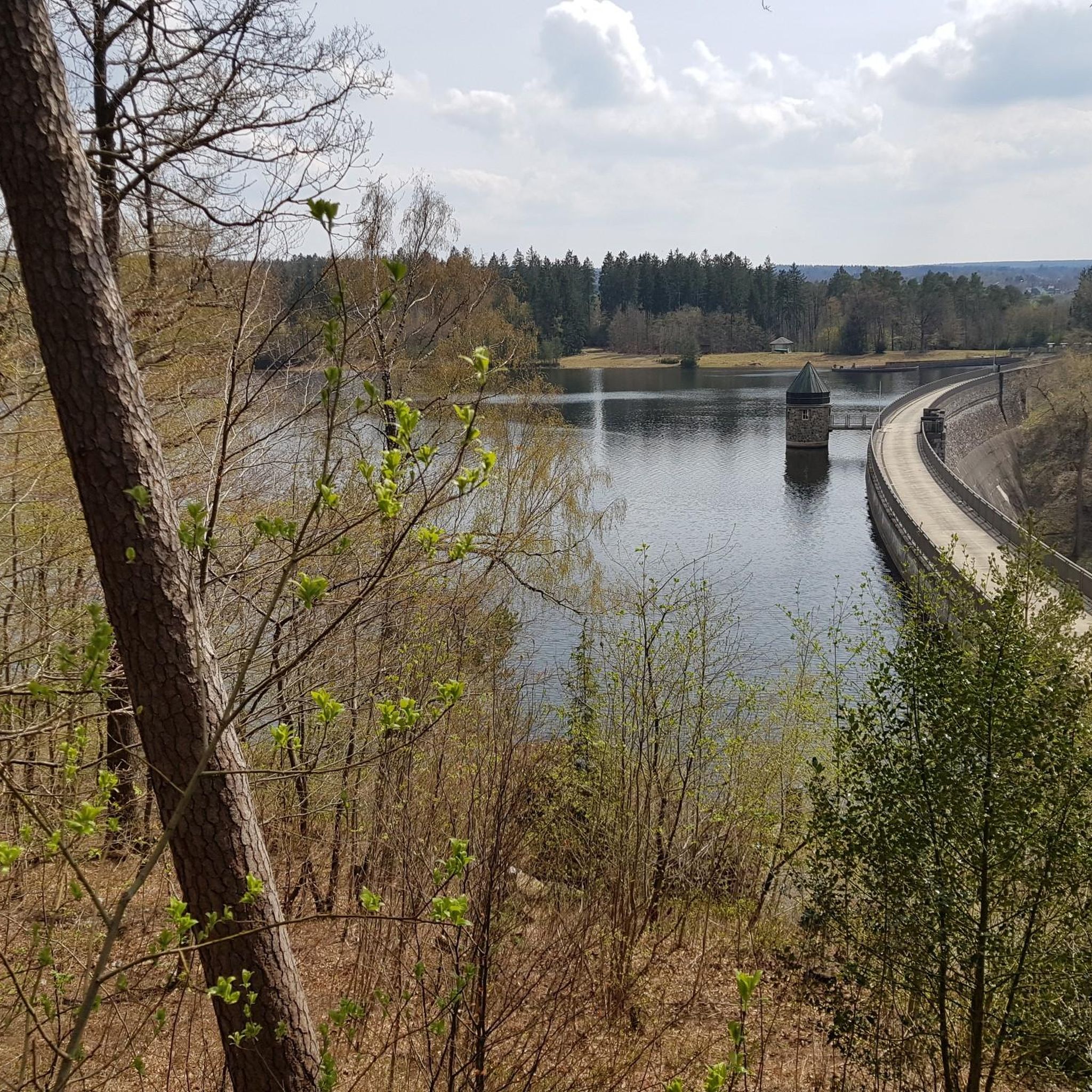
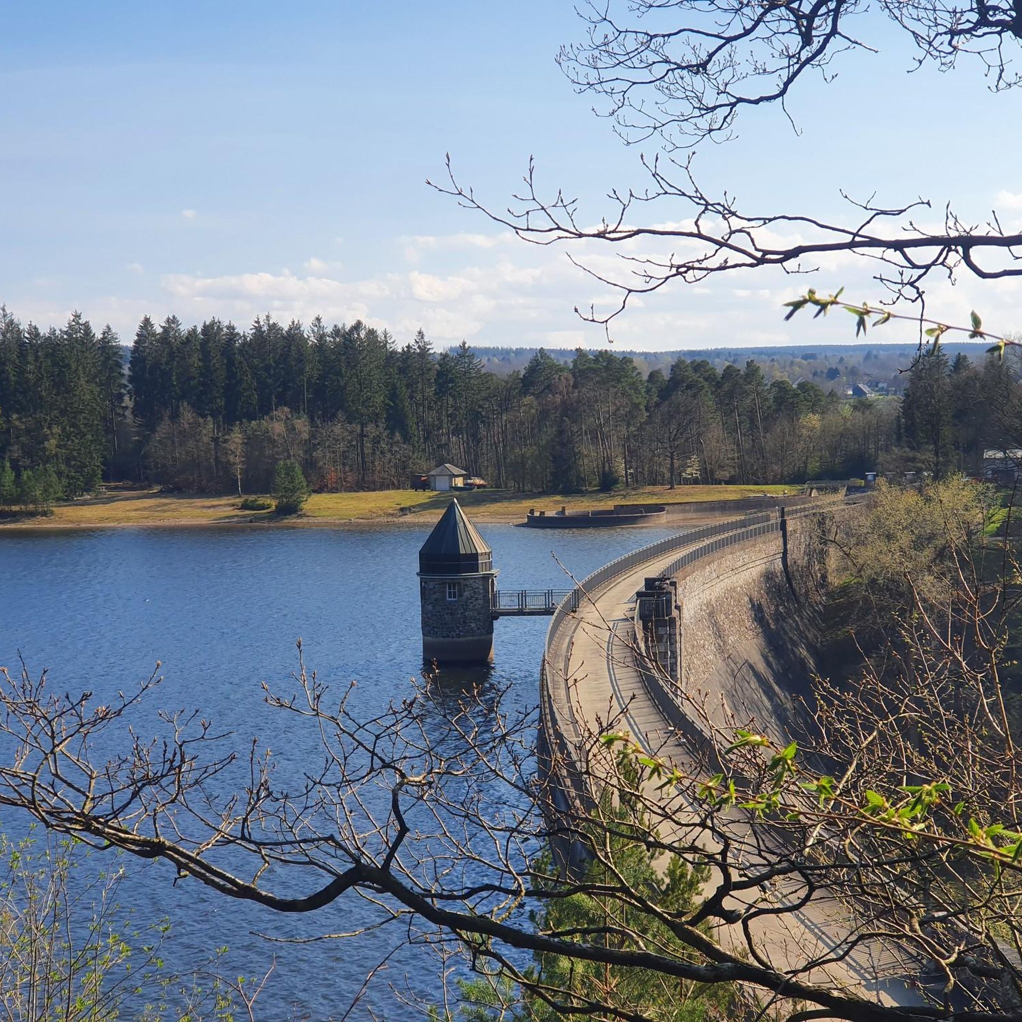
From here, you have a beautiful view of the dam. There are two benches where you can relax.
6
0
Frequently Asked Questions
What kind of terrain can I expect on the running routes around Dreilägerbachtalsperre?
The running routes in the Dreilägerbachtalsperre area feature a variety of surfaces. You'll find accessible paths, including paved and gravel sections, which provide a comfortable running experience. The landscape is characterized by forests and natural beauty, with gentle hills and most elevation gains remaining under 200 meters, making it suitable for various fitness levels.
Are there any easy running trails suitable for beginners or a relaxed jog?
Yes, the Dreilägerbachtalsperre region offers routes for all abilities. Out of 449 total tours, 53 are classified as easy. These trails typically have minimal elevation gain and well-maintained paths, perfect for beginners or those looking for a leisurely run.
Can I find challenging running routes for a more intense workout?
Absolutely. For runners seeking a greater challenge, there are 69 routes classified as difficult. An example is the Dreiborn Dam – Dreilägerbach forebay loop from Roetgen, which covers 18.6 km with an elevation gain of 178 meters, offering a more demanding experience.
What natural features or scenic viewpoints can I enjoy while running here?
The primary scenic attraction is the Dreilägerbachtalsperre lake itself, surrounded by beautiful forests. Many routes offer views of the dam and lead through shaded forest paths. The natural environment provides a refreshing escape, with varying terrain that keeps runs engaging and offers opportunities to continually discover the surroundings.
Are the running trails around Dreilägerbachtalsperre suitable for families?
Yes, many of the trails are suitable for families. With a significant number of easy and moderate routes, you can find paths that are comfortable for different ages and fitness levels. The accessible paths and natural setting make it a pleasant environment for a family outing.
Are dogs allowed on the running routes, and are there any specific rules?
While specific rules regarding dogs are not detailed in the provided information, the natural and forest-rich environment of the Dreilägerbachtalsperre is generally welcoming to dogs. It's always recommended to keep your dog on a leash, especially in nature reserve areas, and to be mindful of other runners and wildlife.
Are there any circular running routes available?
Yes, the area is well-suited for circular runs. Many of the popular routes, such as the Dreilägerbach Dam – Dreiborn Dam loop from Roetgen and the Am Butterstrauch Shelter – Hubertus Ponds loop from Roetgen, are designed as loops, allowing you to start and finish at the same point without retracing your steps.
What do other runners say about the trails in Dreilägerbachtalsperre?
The running routes in Dreilägerbachtalsperre are highly rated by the komoot community, with an average score of 4.5 stars from over 500 reviews. More than 7,000 runners have explored the varied terrain, often praising the scenic dam views, the quiet woodlands, and the well-maintained, accessible paths.
How many running routes are available in the Dreilägerbachtalsperre area?
There are over 400 running routes available around Dreilägerbachtalsperre, offering a wide selection for all preferences. Specifically, komoot lists 449 tours, ranging from easy to difficult, ensuring there's always a new path to explore.
Is there parking available near the running trails?
While specific parking locations are not detailed, the popularity of the Dreilägerbachtalsperre for outdoor activities suggests that parking facilities are available in the vicinity, particularly near common starting points for trails. It's advisable to check local signage or use navigation apps for designated parking areas.
Are there any cafes or amenities near the running paths?
The region around Dreilägerbachtalsperre is a popular outdoor destination, and while specific cafes are not listed, it's common to find amenities in nearby towns like Roetgen. These typically offer options for refreshments or a meal after your run.
What is a good moderate running route to try in the area?
A great moderate option is the Vennbahn Near Lammersdorf – Hubertus Ponds loop from Roetgen. This 11.2 km route features a moderate elevation gain of 131 meters and takes approximately 1 hour 10 minutes to complete, offering a balanced challenge and scenic views.
Most popular routes around Dreilägerbachtalsperre

Get inspired with the komoot mobile app


Explore more
Browse the best Running Trails & Routes in other regions.
