The best walks and hikes around Hullerner Stausee
4.6
(17891)
62,354
hikers
1,214
hikes
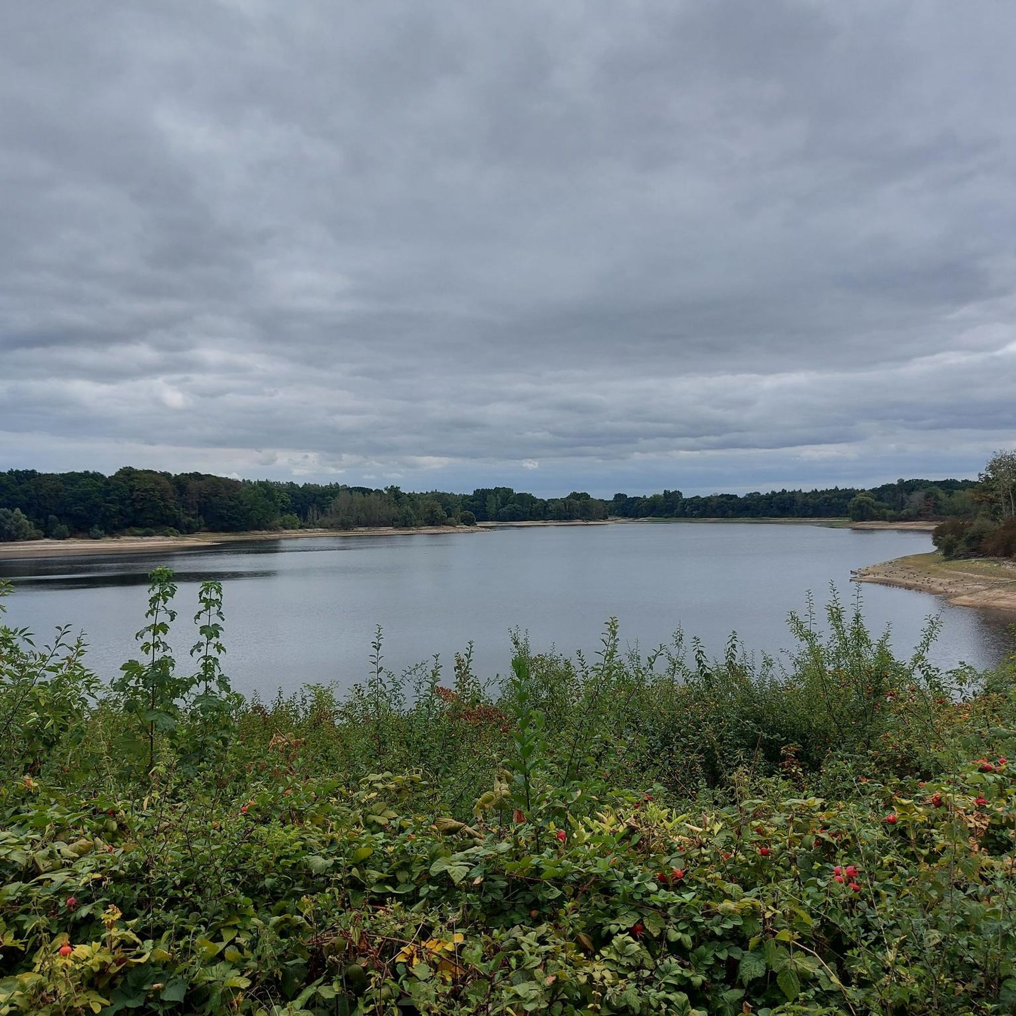
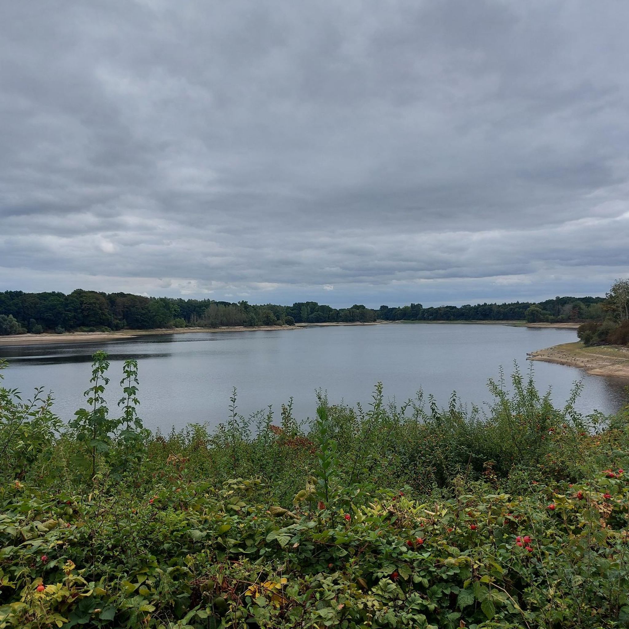
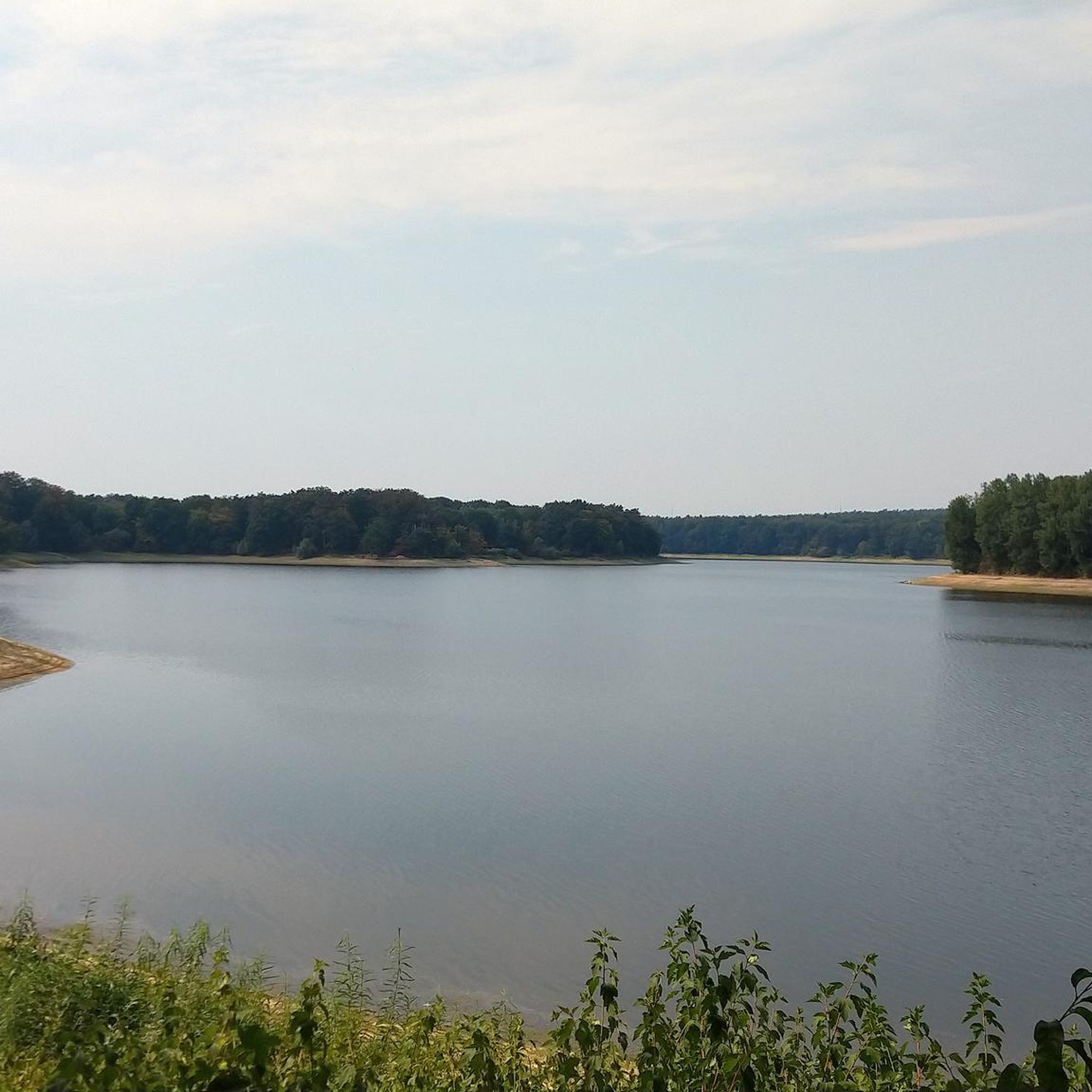
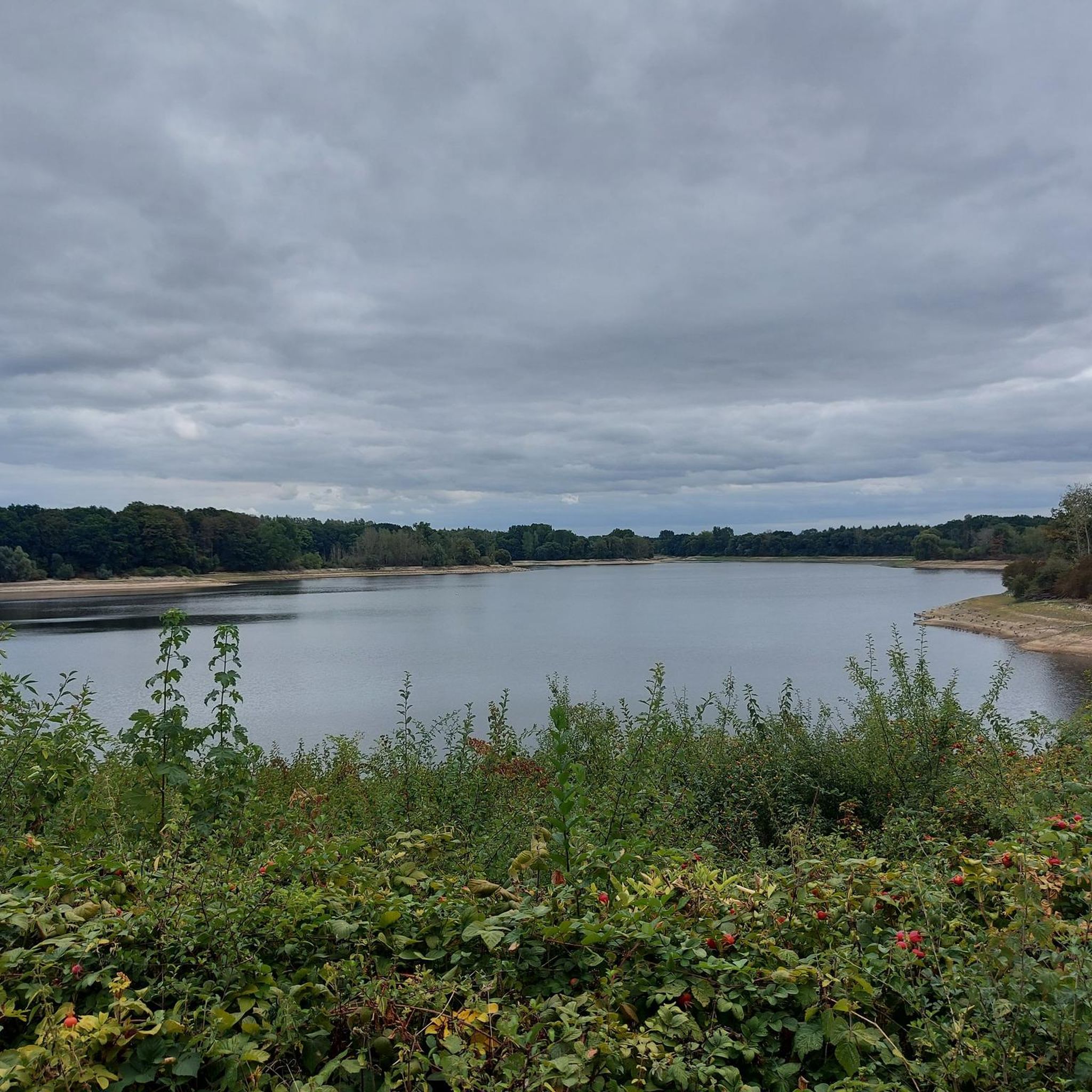
Hiking around Hullerner Stausee offers a network of trails primarily circling the reservoir itself. The region is characterized by its expansive lake, surrounded by mixed woodlands and open fields. Terrain is generally flat with minimal elevation changes, making it accessible for various activity levels. These features define the landscape for Hullerner Stausee hikes.
Best hiking trails around Hullerner Stausee
- The most popular hiking route is Hullerner Reservoir – Hullerner Reservoir loop from Hullern, a 7.2 miles (11.6 km) trail…
Last updated: October 8, 2026
4.8
(860)
2,422
hikers
Moderate hike. Good fitness required. Easily-accessible paths. Suitable for all skill levels.
4.7
(9)
31
hikers
Moderate hike. Good fitness required. Easily-accessible paths. Suitable for all skill levels.

5.0
(16)
49
hikers
15.5km
03:56
40m
40m
Moderate hike. Good fitness required. Easily-accessible paths. Suitable for all skill levels.
4.5
(16)
65
hikers
Easy hike. Great for any fitness level. Easily-accessible paths. Suitable for all skill levels.
4.7
(15)
53
hikers
Easy hike. Great for any fitness level. Easily-accessible paths. Suitable for all skill levels.
Get access to more routes and recommendations from other explorers.
Already have an account?
Our route recommendations are based on thousands of hikes, rides, and runs completed by other people on komoot.
Start today with a free account
Your next adventure awaits.
Tips from the Community

Is this the "Krombacher" island from the commercial? It has the vibe!
0
0
Pleasant in partial shade
0
0
Beautiful view on both sides (Stewer and Wehr before Hullerner Reservoir)
0
0
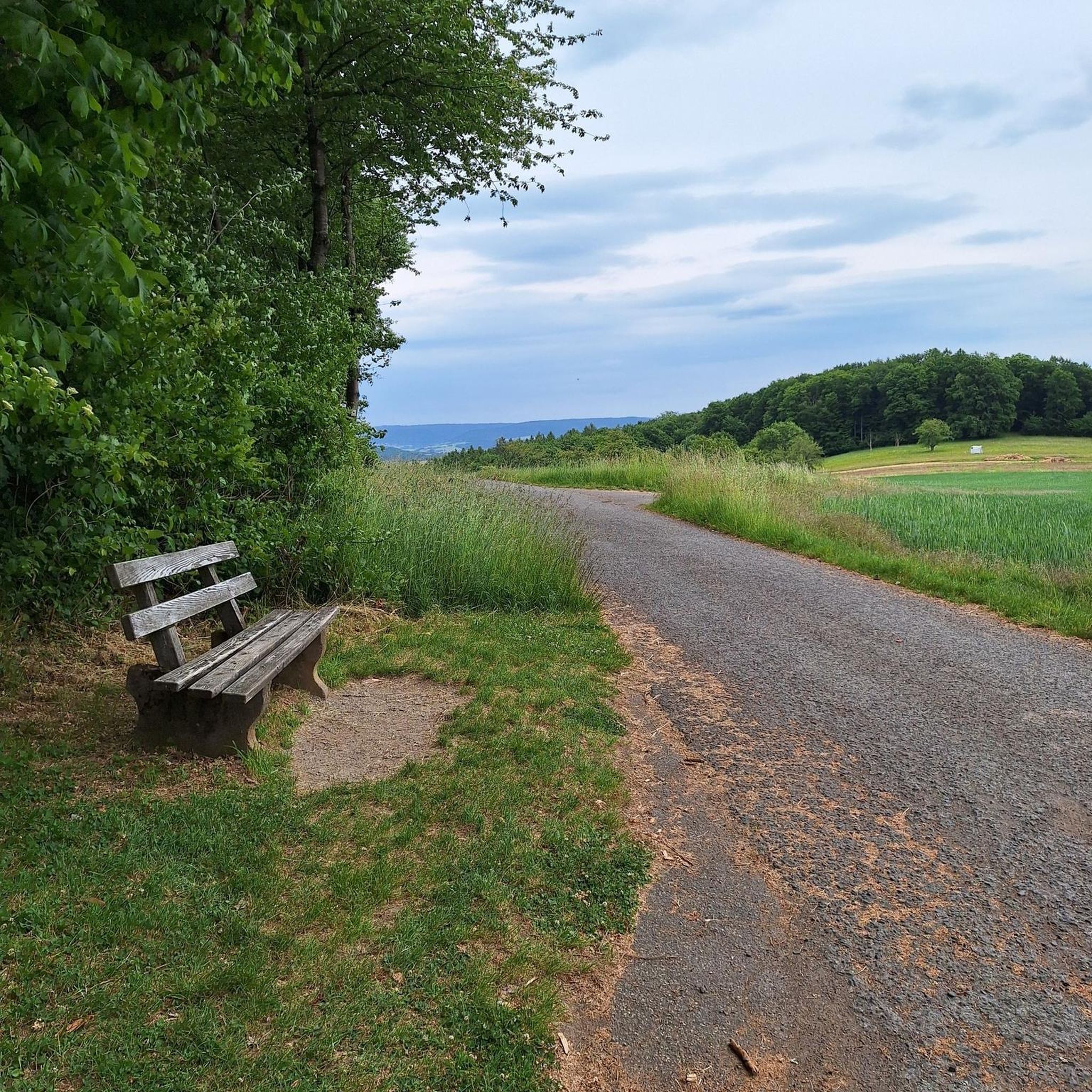
Beautifully located benches with a great view.
0
0

The gravel paths along the lake are good for cycling, and there are plenty of opportunities for a break.
0
0

Not just one chapel, there's another one right next door - why ever?!
0
0

The court chapel ("Hagemann Chapel") was built in 1897 by order of the widow Lena Hagemann (née Lütke-Holz).
1
0

The bank then takes a break
4
0
Frequently Asked Questions
How many hiking trails are available around Hullerner Stausee?
There are over 1,100 hiking routes available around Hullerner Stausee. These include a wide variety of options, with more than 750 easy trails, 340 moderate routes, and a smaller selection of more challenging hikes.
What are the typical lengths and durations of hikes around Hullerner Stausee?
Hikes around Hullerner Stausee vary in length. Many popular routes are moderate, such as the Hullerner Reservoir – Hullerner Reservoir loop from Hullern, which is about 7.2 miles (11.6 km) and takes nearly 3 hours. Shorter, easier options like the Weir at Hullerner Reservoir – Bridge over the Stever loop from Hullern cover about 3.3 miles (5.3 km) in just over an hour.
Are there family-friendly hiking options near Hullerner Stausee?
Yes, the region is well-suited for families. The terrain around Hullerner Stausee is generally flat with minimal elevation changes, making many of the easy and moderate trails accessible for all ages. Look for shorter, well-maintained paths that offer continuous views of the water and surrounding woodlands.
Can I bring my dog on hikes around Hullerner Stausee?
Hullerner Stausee is a popular area for dog walkers. Most trails are suitable for dogs, but it's always recommended to keep your dog on a leash, especially in nature protection areas or when passing through agricultural land. Be mindful of other hikers and wildlife.
Are there many circular hiking routes around Hullerner Stausee?
Yes, circular routes are a defining feature of hiking around Hullerner Stausee. Many trails are designed as loops, allowing you to start and end at the same point. Examples include the Stevervorbecken Bridge – Weir at Hullerner Reservoir loop from Hullern, which offers continuous reservoir views.
Where can I find parking for hiking around Hullerner Stausee?
Parking is generally available at various points around Hullerner Stausee, especially near popular trailheads and access points in Hullern. Specific parking areas are often indicated on local maps or within komoot tour descriptions.
What is the best time of year to hike around Hullerner Stausee?
Hullerner Stausee offers pleasant hiking experiences throughout the year. Spring brings blooming nature, summer allows for longer days, autumn showcases vibrant foliage, and winter can offer serene, quiet landscapes. The generally flat terrain makes it accessible in most conditions.
What interesting sights or landmarks can I see while hiking around Hullerner Stausee?
While hiking, you can enjoy various points of interest. Key features include the Hullerner Reservoir itself, the Stevervorbecken Bridge, and the Pedestrian Bridge Over the Hullener Reservoir. There are also several viewpoints, such as the View of the Hullerner Reservoir, offering scenic perspectives.
What do hikers enjoy most about Hullerner Stausee?
The komoot community highly rates hiking around Hullerner Stausee, with an average score of 4.6 stars from over 15,000 reviews. Hikers often praise the continuous water views, the well-maintained paths, and the peaceful atmosphere of the surrounding woodlands and open fields.
Are there places to eat or rest along the trails?
While the immediate trails around the reservoir are primarily natural, there are often rest areas available, such as the Rest area at the Hullerner Stausee Bridge. For cafes or restaurants, you would typically find options in the nearby town of Hullern or surrounding villages.
What kind of wildlife might I encounter while hiking?
Given the mix of water, woodlands, and open fields, you might encounter various bird species, including waterfowl on the reservoir. Deer, rabbits, and other small mammals are also common in the forested areas. Keep an eye out for diverse flora, especially during spring and summer.
Are there other natural areas to explore near Hullerner Stausee?
Yes, beyond the immediate reservoir area, you can explore nearby natural landscapes. For example, some routes, like the Westruper Heath – Hullerner Reservoir loop from Hullern, extend to areas like the Westruper Heath, offering a different natural environment with heathland vegetation.
Most popular routes around Hullerner Stausee
Most popular attractions around Hullerner Stausee

Get inspired with the komoot mobile app


Explore more
Browse the best Hikes in other regions.
