The best MTB trails around Meerfelder Maar
4.5
(816)
3,038
riders
161
rides
Mountain biking around Meerfelder Maar offers diverse routes through a unique volcanic landscape in the Eifel region of Germany. The area is characterized by its distinctive maar crater, steep slopes, and varied terrain, providing a challenging and rewarding experience for riders. Trails navigate through sparse forests and along the crater rim, with significant elevation changes due to the volcanic topography. This region is a protected nature reserve, featuring diverse flora and fauna within its natural features.
Best mountain bike trails…
Last updated: August 23, 2026
4.8
(5)
37
riders
54.0km
04:56
1,180m
1,180m
Hard mountain bike ride. Very good fitness required. Advanced riding skills necessary. Some portions of the route may require you to push your bike.
4.7
(33)
100
riders
Moderate mountain bike ride. Good fitness required. Advanced riding skills necessary.

Sign up for free
4.9
(27)
35
riders
42.5km
03:56
780m
770m
Hard mountain bike ride. Good fitness required. Advanced riding skills necessary. Some portions of the route may require you to push your bike.
5.0
(3)
22
riders
36.0km
03:33
710m
710m
Moderate mountain bike ride. Good fitness required. Advanced riding skills necessary.
5.0
(1)
20
riders
61.5km
05:54
1,140m
1,140m
Hard mountain bike ride. Very good fitness required. Advanced riding skills necessary.
Get access to more routes and recommendations from other explorers.
Sign up for free
Already have an account?
Our route recommendations are based on thousands of hikes, rides, and runs completed by other people on komoot.
Start today with a free account
Your next adventure awaits.
Login or Signup
Popular around Meerfelder Maar
Other adventures around Meerfelder Maar

Tips from the Community

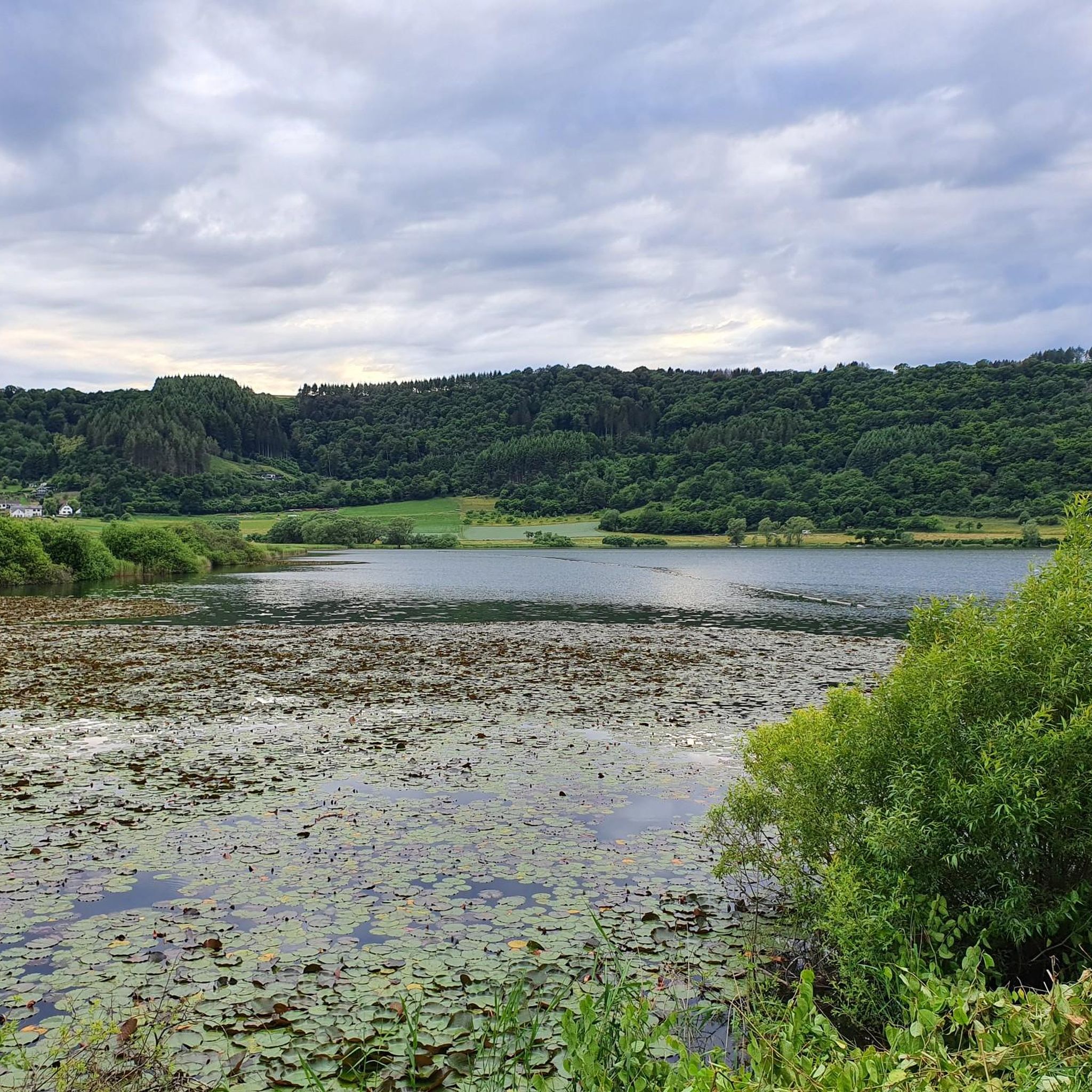
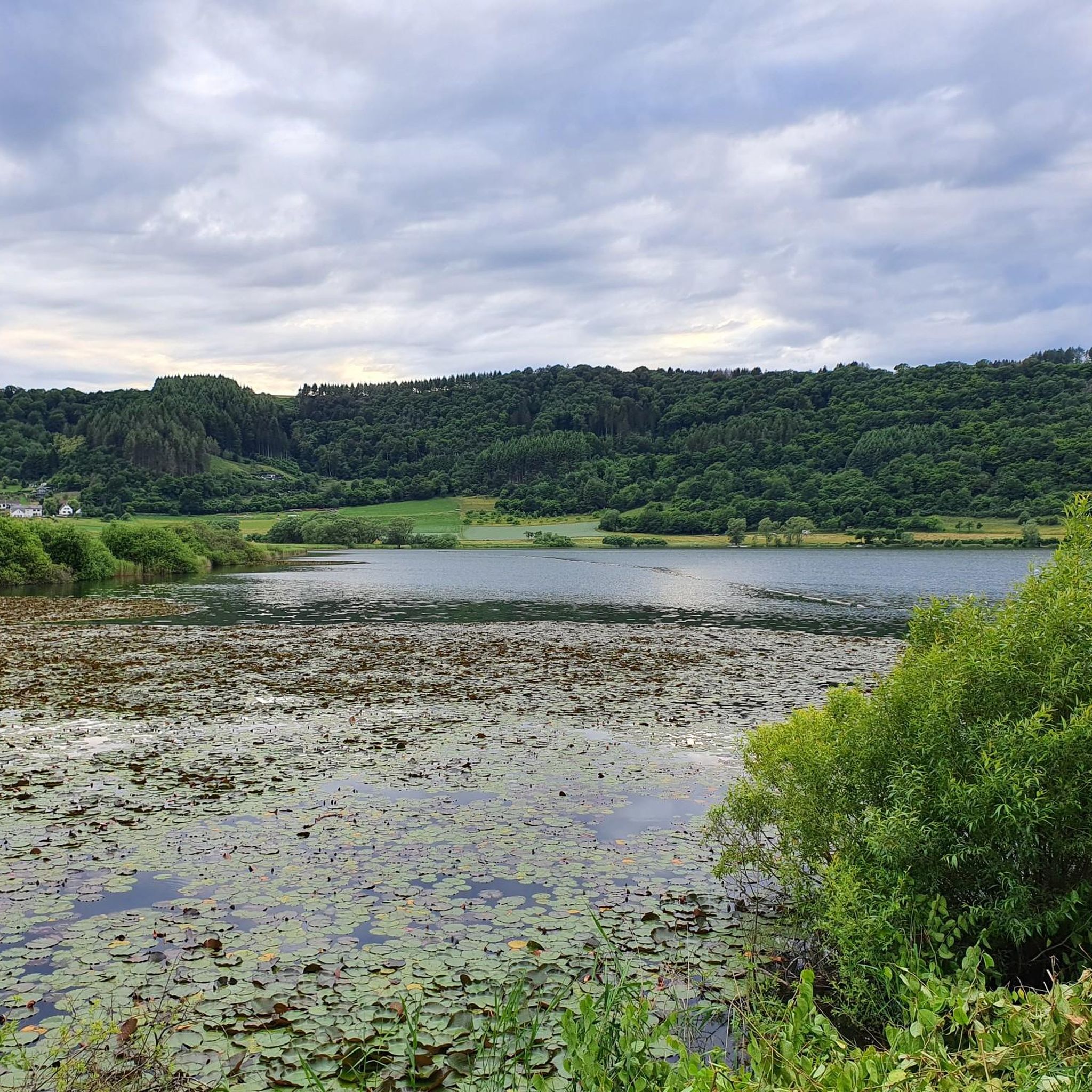
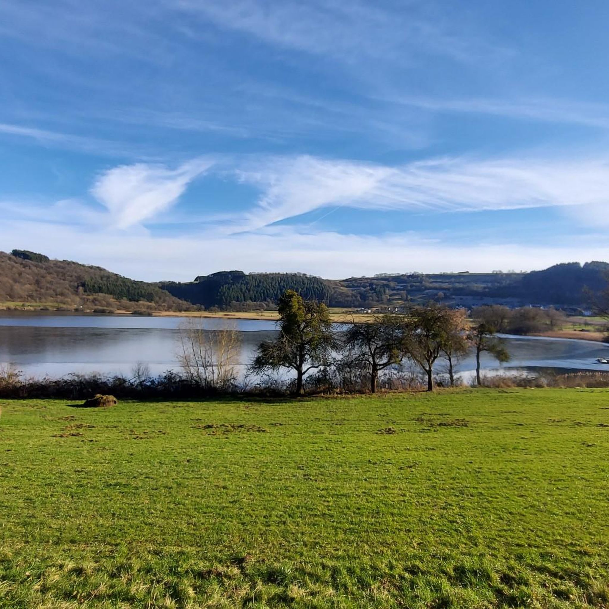
Not possible to see the lake anymore in 2026 due to growth of the bushes
0
0

A great river with lots of nature and a lot of (earth) history.
0
0

A lovely hike, mindfulness trail, small Kyle, bridge, and then on to Heidsmühle for a wheat beer. Wonderful in summer, also a great way to cool off!
1
0


Main inspection of the Pleiner Viaduct on the Maare-Mosel Cycle Route Plein Viaduct, length 98 meters, height above valley 31 meters Unkenstein Tunnel, length 140 meters Grünewald Tunnel, length 124 meters The Pleiner Viaduct consists of a five-span arch bridge. The structure is located on the Hasborn - Wittlich section of the Maare-Mosel Cycle Route. The viaduct, first built in 1910, demolished in 1945, and rebuilt in 1953, is approximately 98 meters long, approximately 31 meters high, and 4.65 meters wide between the railings. It was built on site using reinforced concrete, and the piers, abutments, and side elevations were clad in sandstone. However, the structural concrete is exposed in the arch undersides. After the railway line was closed by Deutsche Bahn in 1984, the tracks were dismantled in 1989. Before the structure was reopened as part of the Maare-Mosel cycle path in 1998, it was completely renovated. Text / Source: Rogmann Ingenieure GmbH, Einöder Straße 6, 66424 Homburg https://www.rogmann-ingenieure.de/referenzen/pleiner-viadukt-plein.html#:~:text=The%201910%20first%20built%2C%20in%201945%20blasted%20and,Width%20between%20the%20railings%20of%204%2C65%20m%20on.
14
0
Pleiner Tunnel - Hasborn–Wittlich Directly after the former Plein train station, approximately 5 km beyond Hasborn, the cycle path leads through the 585-meter-long Pleiner Tunnel. It then continues downhill through deciduous and mixed forests to Wittlich. From the rather rugged Volcanic Eifel, the cycle path descends into the Wittlich Valley. The route passes vineyards and leads into the town of Wittlich. Text / Source: wikipedia.org/wiki/Maare-Mosel https://de.wikipedia.org/wiki/Maare-Mosel-Radweg#:~:text=Direkt%20nach%20dem%20ehemaligen%20Bahnhof%20von%20Plein%2C%20ca.,f%C3%BChrt%20der%20Radweg%20hinab%20in%20das%20Wittlicher%20Tal.
13
0
Weinfelder Maar - Impressive Evidence of Explosive Geological History The Weinfelder Maar – also known as Totenmaar – is one of the three so-called Daun Maars. It is located about 2 kilometers from our district town of Daun, near the municipality of Schalkenmehren, between the Gemünden and Schalkenmehren Maars. It has a diameter of approximately 525 meters and a depth of 51 meters, making it the deepest of the three Daun Maars. It is the youngest and, at 487 meters above sea level, the highest of the three closely adjacent maars, which formed between 20,000 and 30,000 years ago. Text / Source: Natur- und Geopark Vulkaneifel GmbH, Mainzer Str. 25, Daun https://www.geopark-vulkaneifel.de/eifel/landschaft/maare-und-kraterseen/weinfelder-maar.html
12
0
Weinfelder Maar The Weinfelder Maar, formed by volcanic activity around 20,000 to 30,000 years ago, is the highest of the three Daun Maars at 487 meters above sea level. The lake is 51 meters deep and has a diameter of 396 to 429 meters. An almost melancholic atmosphere surrounds the maar. Many legends surround the tranquil Eifel eye. A castle is said to have once stood on the site of the crater, where a count lived with his wife and only child. After returning home from a hunt, the castle had sunk as punishment for the woman's nastiness, and he found only a lake where a cradle miraculously floated his child safely to the shore. If you look at the dark surface of the water long enough, it is said that you can make out the outline of the castle. The German landscape painter Fritz von Wille was so fascinated by the Weinfelder Maar that he repeatedly immortalized it in his paintings. Among his favorite motifs was the small chapel on the north bank, dedicated to Saint Martin. It was once the parish church of the village of Weinfeld, which was ravaged by the plague in the 16th century. Anyone who rings the bells inside by pulling the ropes can make a wish. To this day, the associated cemetery is maintained and used by the local community of Schalkenmehren. This is also where its second name, Totenmaar, comes from. Donkeys and goats have been introduced to the Weinfelder Maar to regulate vegetation. The maar's unique flora and fauna are protected. Swimming and other water sports are prohibited in the Weinfelder Maar, but a nearly two-kilometer-long path makes it a wonderful place to explore on foot. Parking: Guests can park along the L64 either in the parking lot at the Weinfelder Maar or on the Maarsattel between the Weinfelder Maar and the Schalkenmehrener Maar. Text / Source: GesundLand Vulkaneifel GmbH, Leopoldstr. 9 A, 54550 Daun https://www.eifel.info/a-weinfelder-maar
12
0
Frequently Asked Questions
How many mountain bike trails are there around Meerfelder Maar?
The Meerfelder Maar area offers a comprehensive network of over 160 mountain bike trails. These routes cater to various skill levels, ensuring there's something for every rider.
What are the difficulty levels of the mountain bike trails in Meerfelder Maar?
The trails around Meerfelder Maar range from moderate to difficult. You'll find 83 moderate routes, perfect for those with good fitness, and 65 difficult routes for experienced riders seeking a challenge. There are also 14 easier options available.
Are there any family-friendly mountain bike routes in the Meerfelder Maar area?
While many trails feature significant elevation changes, parts of the broader region, like the Cosmos Cycle Path, offer more family-friendly sections. For specific routes, it's best to check individual trail descriptions for suitability, as many routes around the Maar itself are geared towards moderate to advanced riders.
What kind of landscapes and natural features will I encounter while mountain biking here?
You'll ride through a unique volcanic landscape, characterized by the distinctive Meerfelder Maar crater, steep slopes, and diverse terrain. The routes traverse sparse forests, offering views of the maar and the surrounding Eifel countryside. The area is a protected nature reserve, so you'll also experience rich flora and fauna, including rare species in wet meadows and reed zones.
Are there good viewpoints along the mountain bike routes?
Yes, the volcanic topography provides numerous opportunities for panoramic views. A notable viewpoint is the "Landesblick" platform, perched high on the crater rim, offering unforgettable vistas of the maar. Routes like the Dronketurm tower – View of the Weinfelder Maar loop from Meerfeld specifically lead to tower viewpoints.
What is the best time of year to go mountain biking in Meerfelder Maar?
The Eifel region, including Meerfelder Maar, is generally enjoyable for mountain biking from spring through autumn. During these seasons, the weather is typically mild, and the trails are in good condition. Summer also offers the added option of swimming in the natural outdoor pool at the Maar from May to September.
Are there circular mountain bike routes available?
Yes, many of the routes around Meerfelder Maar are designed as loops. For example, the View of the Meerfelder Maar – Meerfelder Maar loop from Meerfeld is a moderate 25 km ride that circles the Maar, and the Lieserpfad Trail – Windsborn Crater summit loop from Meerfeld is another popular circular option.
Where can I park my car when visiting Meerfelder Maar for mountain biking?
The village of Meerfeld, located on the southern edge of the Maar, serves as a good starting point for many routes. You can typically find parking facilities within or near the village, providing convenient access to the trailheads.
Is public transport an option to reach the mountain bike trails?
While the Eifel region has some public transport options, direct access to specific trailheads around Meerfelder Maar might be limited. It's advisable to check local bus schedules or consider driving to the village of Meerfeld for the most convenient access to the trails.
Are there places to eat or drink near the mountain bike trails?
The picturesque village of Meerfeld, situated directly on the Maar, offers local establishments where you can find refreshments and meals after your ride. Exploring the surrounding Eifel villages will also provide additional options for cafes and pubs.
What do other mountain bikers enjoy most about the trails in Meerfelder Maar?
The area is highly rated by the komoot community, with an average score of 4.5 stars from over 800 reviews. Riders often praise the unique volcanic landscape, the challenging and varied terrain, and the breathtaking scenery, especially the panoramic views from the crater rim.
What are some longer, more challenging routes for experienced mountain bikers?
For experienced riders seeking a significant challenge, routes like the Himmerod Abbey – Pleiner Viaduct loop from Meerfeld, at over 61 km, offer extensive distances and considerable elevation gain. The Fishing Pond Oberstadtfeld – Shelter by the wayside! loop from Meerfeld is another difficult option covering nearly 43 km.
Are there any permits required for mountain biking in the Meerfelder Maar area?
Generally, no specific permits are required for mountain biking on designated trails in the Meerfelder Maar region. However, as it is a protected nature reserve, it's essential to stay on marked paths and respect local regulations to preserve the natural environment.
Most popular routes around Meerfelder Maar

Get inspired with the komoot mobile app


Explore more
Browse the best MTB trails in other regions.
