The best mountain hikes around Dam Königshütte
5.0
(68)
247
hikers
16
hikes
Mountaineering routes around Dam Königshütte are situated within the Harz Mountains, characterized by dense forests, rocky outcrops, and significant elevation changes. The region features the Bodestausee reservoir and the Bode River, offering a mix of water features and mountainous terrain. While primarily known for extensive hiking trails, the broader Harz Mountains provide opportunities for more technical mountaineering, including granite cracks and challenging ascents. The landscape includes panoramic views from historical sites like Königsburg Castle and the peaks of Mount Brocken…
Last updated: July 10, 2026
4.7
(3)
5
hikers
16.9km
05:07
510m
510m
Hard mountaineering route. Very good fitness required. Sure-footedness, sturdy shoes and alpine experience required.
5.0
(6)
19
hikers
11.3km
03:31
360m
360m
Hard mountaineering route. Good fitness required. Sure-footedness, sturdy shoes and alpine experience required.

Sign up for free
4.9
(7)
38
hikers
22.8km
06:54
670m
670m
Hard mountaineering route. Very good fitness required. Mostly accessible paths. Sure-footedness required.
5.0
(3)
10
hikers
15.9km
05:01
610m
610m
Hard mountaineering route. Very good fitness required. Easily-accessible paths. Suitable for all skill levels.
5.0
(2)
6
hikers
Easy mountaineering route. Great for any fitness level. Easily-accessible paths. Suitable for all skill levels.
Get access to more routes and recommendations from other explorers.
Sign up for free
Already have an account?
Our route recommendations are based on thousands of hikes, rides, and runs completed by other people on komoot.
Start today with a free account
Your next adventure awaits.
Login or Signup
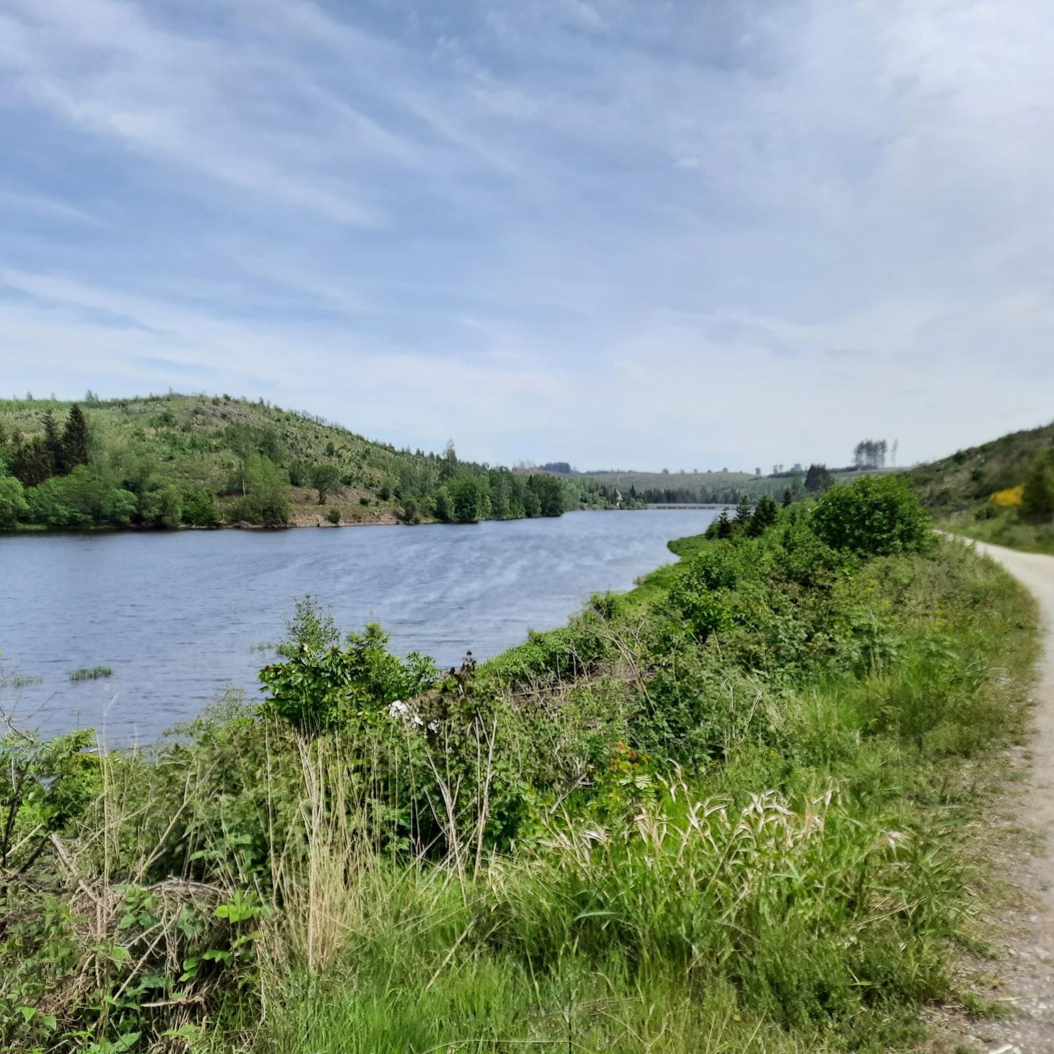
Tips from the Community

Beautiful view, can really be recommended.
0
0


A beautiful path through the forest
0
0

a little off the path, at a viewpoint, view of Elend
0
0

The Trudenstein is worth a trip and is rewarded with great views when the weather is nice.
15
0
The path along the Bärenklippe via the root trail is highly recommended.
15
0
The route to the Leistenklippe via the root trail is highly recommended.
16
0
A trip to Hohnehof is highly recommended. There are also some HWN badges there.
9
0
Frequently Asked Questions
What are the typical elevation changes on mountaineering routes around Dam Königshütte?
The mountaineering routes in this region of the Harz Mountains feature significant elevation changes. For example, the difficult route Hohnekamm Ridge – Trudenstein (HWN 17) loop from Drei Annen Hohne involves an ascent of over 520 meters. Even easier routes, like Ascent to the snoring cliff – Forest path in Elendstal loop from Elendstal, still include an elevation gain of around 250 meters, offering a good workout amidst the scenic terrain.
Are there routes suitable for beginners or those looking for easier mountaineering?
Yes, while many routes are challenging, there are options for those seeking an easier experience. For instance, the Ascent to the snoring cliff – Forest path in Elendstal loop from Elendstal is rated as easy, covering about 5.8 km with a manageable elevation gain. The region offers a mix of paths, ensuring there's something for various skill levels.
What natural features or landmarks can I see along the mountaineering routes?
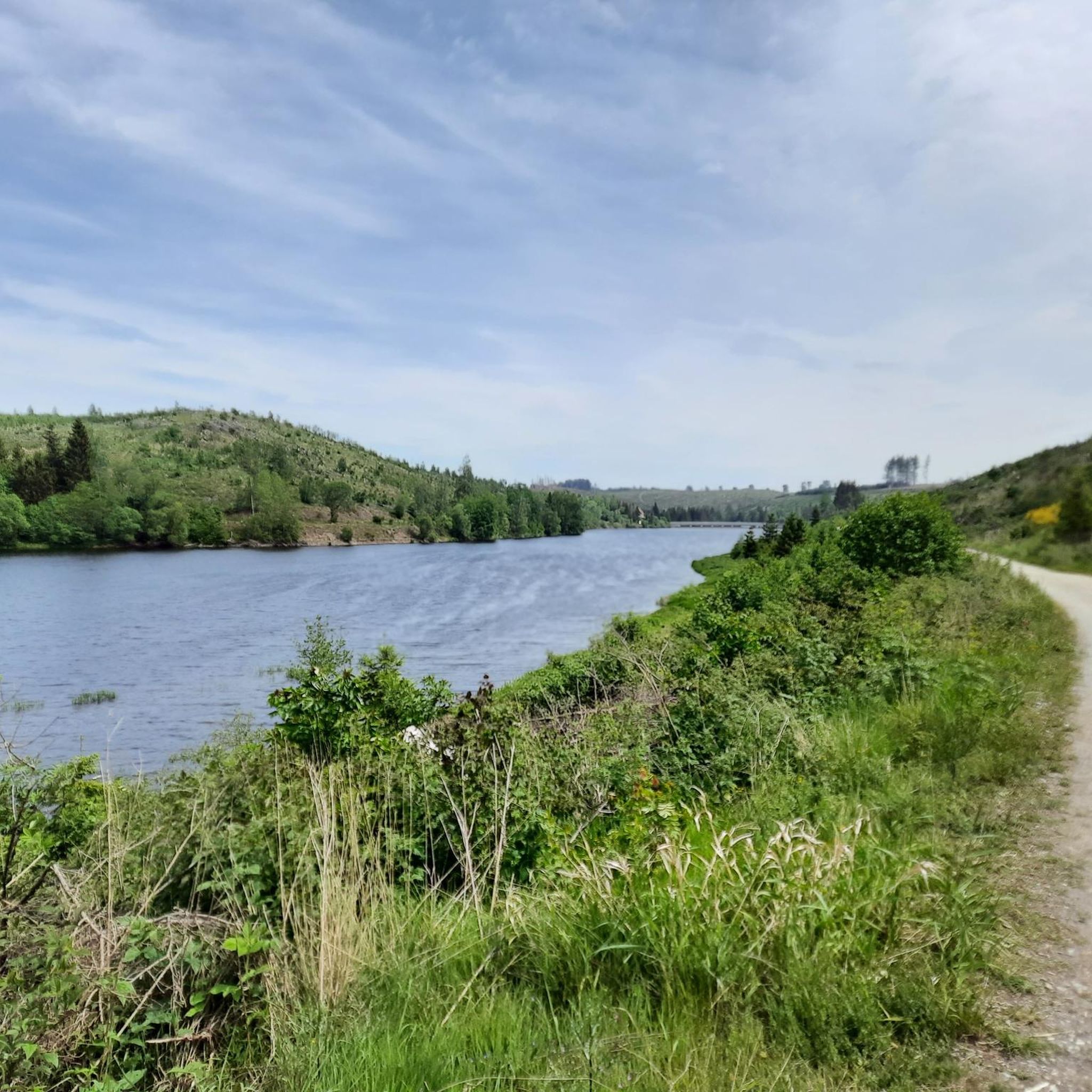
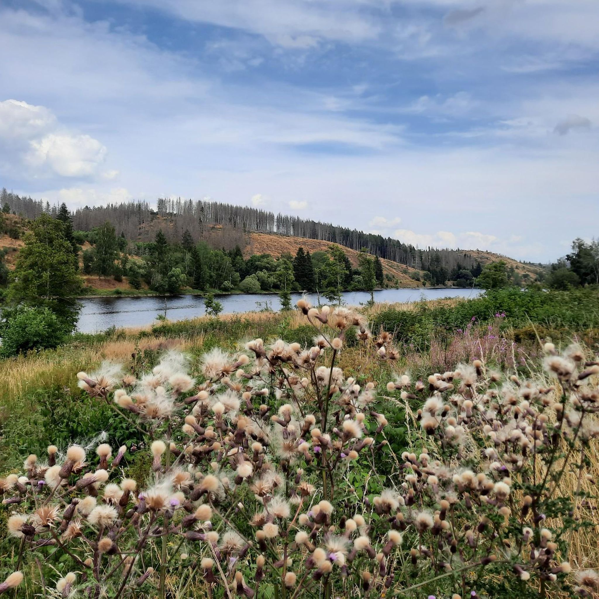
Mountaineering routes around Dam Königshütte offer a wealth of natural beauty and landmarks. You can explore the impressive Königshütte Dam and the tranquil Königshütte Reservoir. Many trails also pass by the unique confluence of the Warme and Kalte Bode rivers, and you might even discover the small, idyllic Königshütte Waterfall. The Harz forests themselves provide wild and romantic panoramas.
Are there any historical sites to explore while mountaineering?
Absolutely. The ruins of Königsburg Castle, perched above Königshütte, offer a historical attraction with panoramic views over the Harz town and the wider Harz Mountains, including distant peaks like Mount Brocken and Wurmberg. This former royal castle is also a stamping point for the Harzer Wandernadel, adding an extra incentive to visit.
Is public transport available to reach the mountaineering trailheads?
The Harz Mountains region, including areas around Dam Königshütte, is generally accessible by public transport, though specific trailheads might require some planning. Many routes start from towns or villages that have bus connections. For routes like Trudenstein (HWN 17) – Ledge cliff (HWN 15) loop from Brockenbahn, starting points near the Brockenbahn railway stations can be reached via regional train services.
Where can I find parking for mountaineering routes near Dam Königshütte?
Parking is generally available at common starting points for hiking and mountaineering routes in the Harz Mountains. Look for designated parking areas in villages like Elendstal or Drei Annen Hohne, which serve as trailheads for routes such as Eckerlochstieg Trail – Brocken Summit loop from Elendstal or Große Wurmbergschanze Stairs – Wurmberg Summit loop from Elendstal. These are typically well-marked.
When is the best time of year for mountaineering around Dam Königshütte?
The Harz Mountains offer mountaineering opportunities year-round, but the best time depends on your preference. Spring and autumn provide vibrant colors and pleasant temperatures, ideal for long treks. Summer is popular for its longer daylight hours. Winter mountaineering is possible, but requires appropriate gear and caution due to snow and ice, especially on higher elevations and more technical routes.
Are there family-friendly mountaineering routes suitable for children?
While many routes are challenging, the broader area around Dam Königshütte offers family-friendly options. The scenic circular hiking trail directly around the Königshütte Reservoir is often described as easy and suitable for families. When choosing a mountaineering route, look for those rated 'easy' and consider shorter distances and less elevation gain to ensure an enjoyable experience for children.
Can I bring my dog on the mountaineering routes around Dam Königshütte?
Yes, many mountaineering and hiking trails in the Harz Mountains are dog-friendly. It's generally permitted to bring dogs, but they should be kept on a leash, especially in nature protection areas, near wildlife, and around other hikers. Always ensure your dog is fit enough for the chosen route and carry enough water for both of you.
What do other mountaineers enjoy the most about mountaineering in Dam Königshütte?
The area is highly rated by the komoot community, with an average score of 4.9 from over 60 reviews. Mountaineers often praise the diverse terrain, from dense forests to rocky outcrops, and the significant elevation changes that provide a rewarding challenge. The stunning views, especially from historical sites and along the Bodestausee, are also frequently highlighted as a major draw.
Are there any circular mountaineering routes available?
Yes, there are several excellent circular mountaineering routes. For example, the difficult Trudenstein (HWN 17) – Ledge cliff (HWN 15) loop from Brockenbahn offers a challenging 11.3 km circuit. Another popular option is the Hohnekamm Ridge – Trudenstein (HWN 17) loop from Drei Annen Hohne, which provides a longer, difficult 17.9 km loop through varied terrain.
What kind of wildlife might I encounter on the trails?
The Harz Mountains are rich in flora and fauna. While mountaineering, you might spot various bird species, deer, and if you're very lucky, even wildcats or lynx, which have been reintroduced to the region. The extensive forests and meadow areas provide ideal habitats for nature observation. Remember to maintain a respectful distance and avoid disturbing animals.
What should I pack for mountaineering in this region?
Given the varied terrain and potential for significant elevation changes, it's advisable to pack sturdy hiking boots, layers of clothing suitable for changing weather conditions, and rain gear. A map, compass or GPS device, sufficient water, snacks, and a first-aid kit are also essential. For more technical routes, consider appropriate climbing gear if venturing into areas known for granite cracks or aided ascents within the broader Harz region.
Most popular routes around Dam Königshütte
Most popular attractions around Dam Königshütte

Get inspired with the komoot mobile app


Explore more
Browse the best Mountain Hikes & Routes in other regions.
