The best MTB trails around Dam Saidenbach
4.7
(762)
1,815
riders
174
rides
Mountain biking around Dam Saidenbach offers diverse terrain within the picturesque Ore Mountains (Erzgebirge) in Saxony, Germany. The region is characterized by forested hills, the prominent Saidenbach Reservoir, and a network of well-maintained trails. These routes provide varied experiences, from paths winding through natural surroundings to more challenging cycling options. The landscape features a mix of unpaved segments and scenic views across the reservoir and its catchment area.
Best mountain bike trails around Dam Saidenbach
- The most popular mountain bike…
Last updated: June 26, 2026
4.6
(27)
59
riders
14.9km
01:16
230m
230m
Moderate mountain bike ride. Great for any fitness level. Advanced riding skills necessary.
5.0
(1)
5
riders
Moderate mountain bike ride. Good fitness required. Advanced riding skills necessary.

Sign up for free
4.3
(7)
4
riders
Easy mountain bike ride. Great for any fitness level. Suitable for all skill levels.
5.0
(1)
3
riders
47.6km
03:29
700m
700m
Moderate mountain bike ride. Good fitness required. Advanced riding skills necessary.
5
riders
15.0km
01:06
280m
280m
Easy mountain bike ride. Great for any fitness level. Suitable for all skill levels.
Get access to more routes and recommendations from other explorers.
Sign up for free
Already have an account?
Our route recommendations are based on thousands of hikes, rides, and runs completed by other people on komoot.
Start today with a free account
Your next adventure awaits.
Login or Signup
Tips from the Community

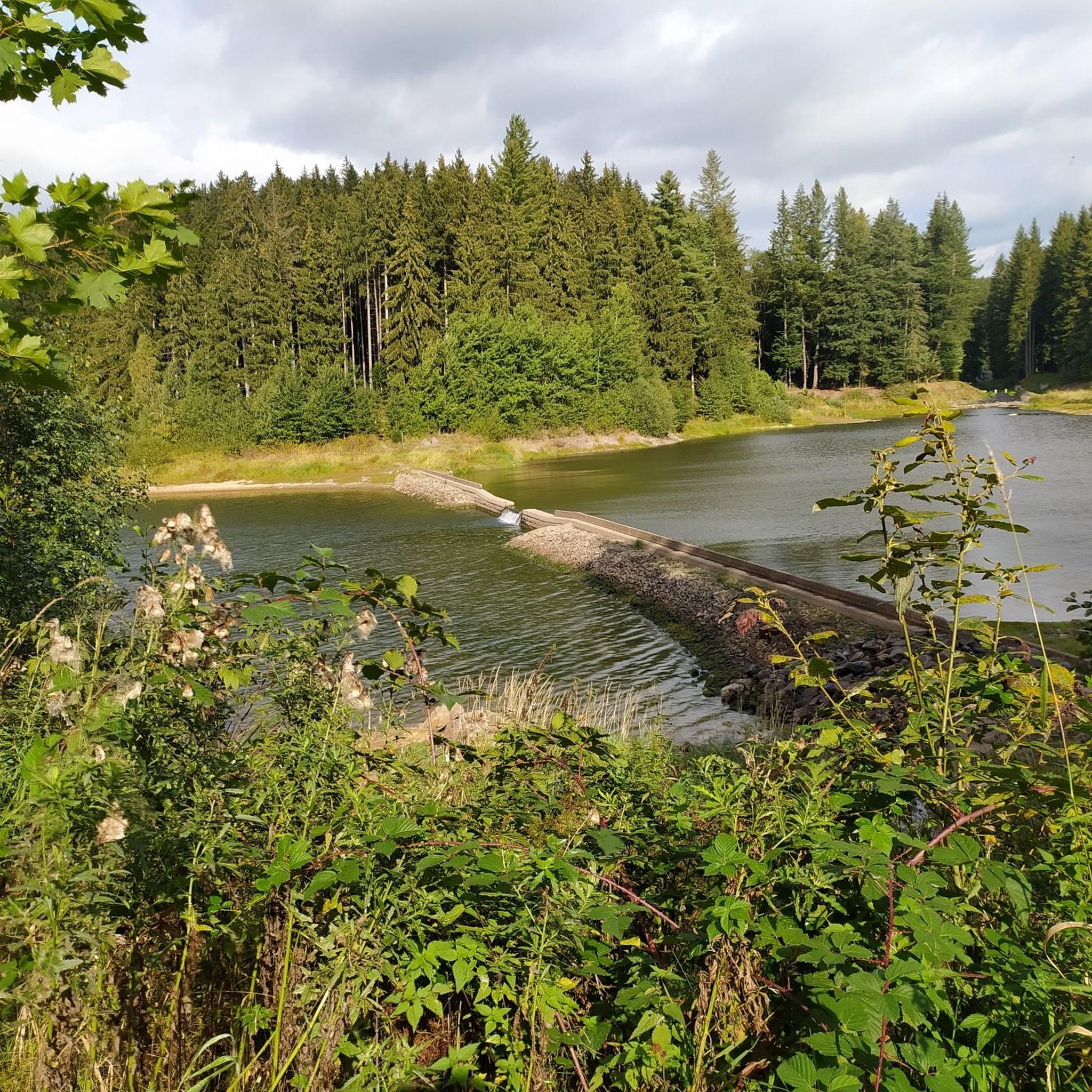
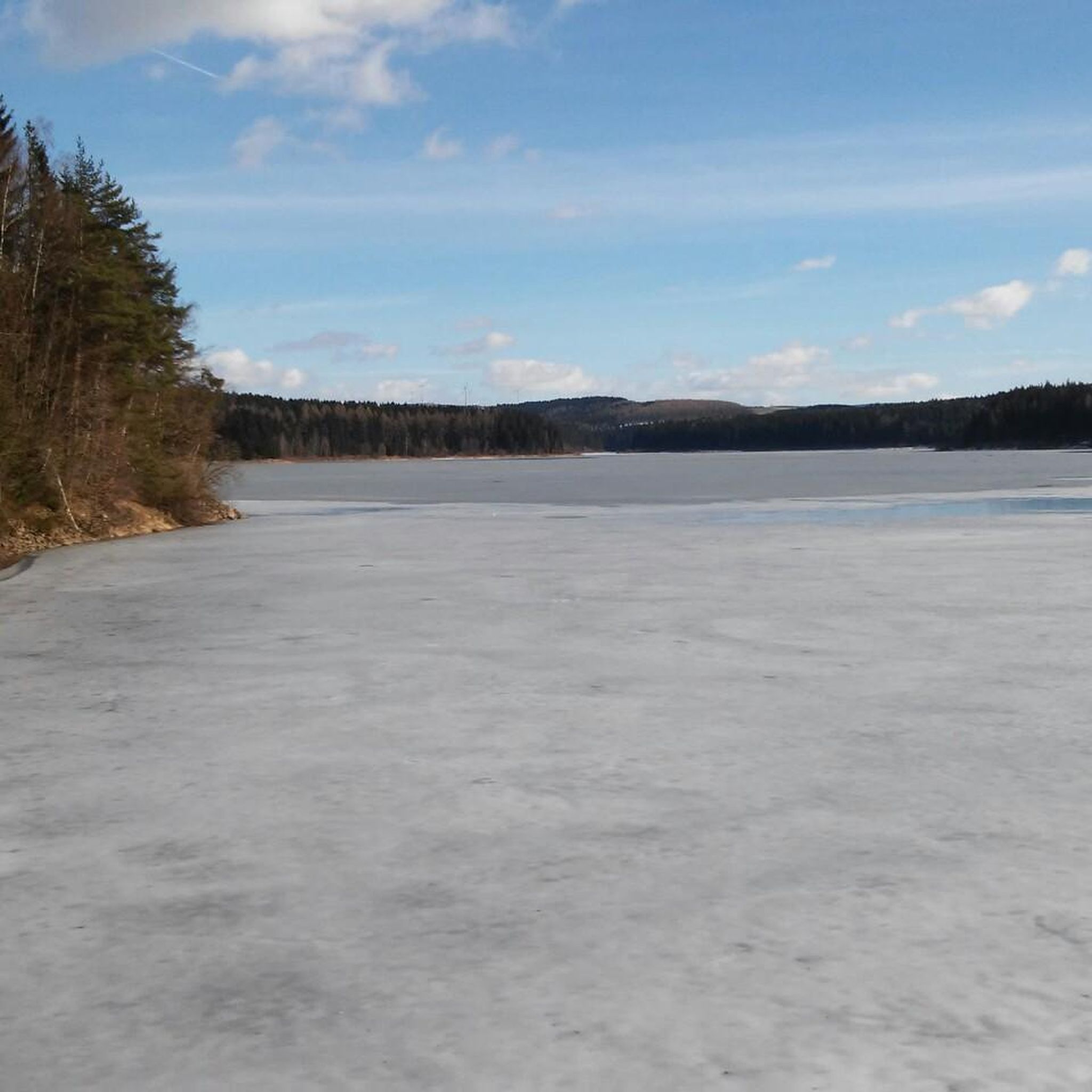
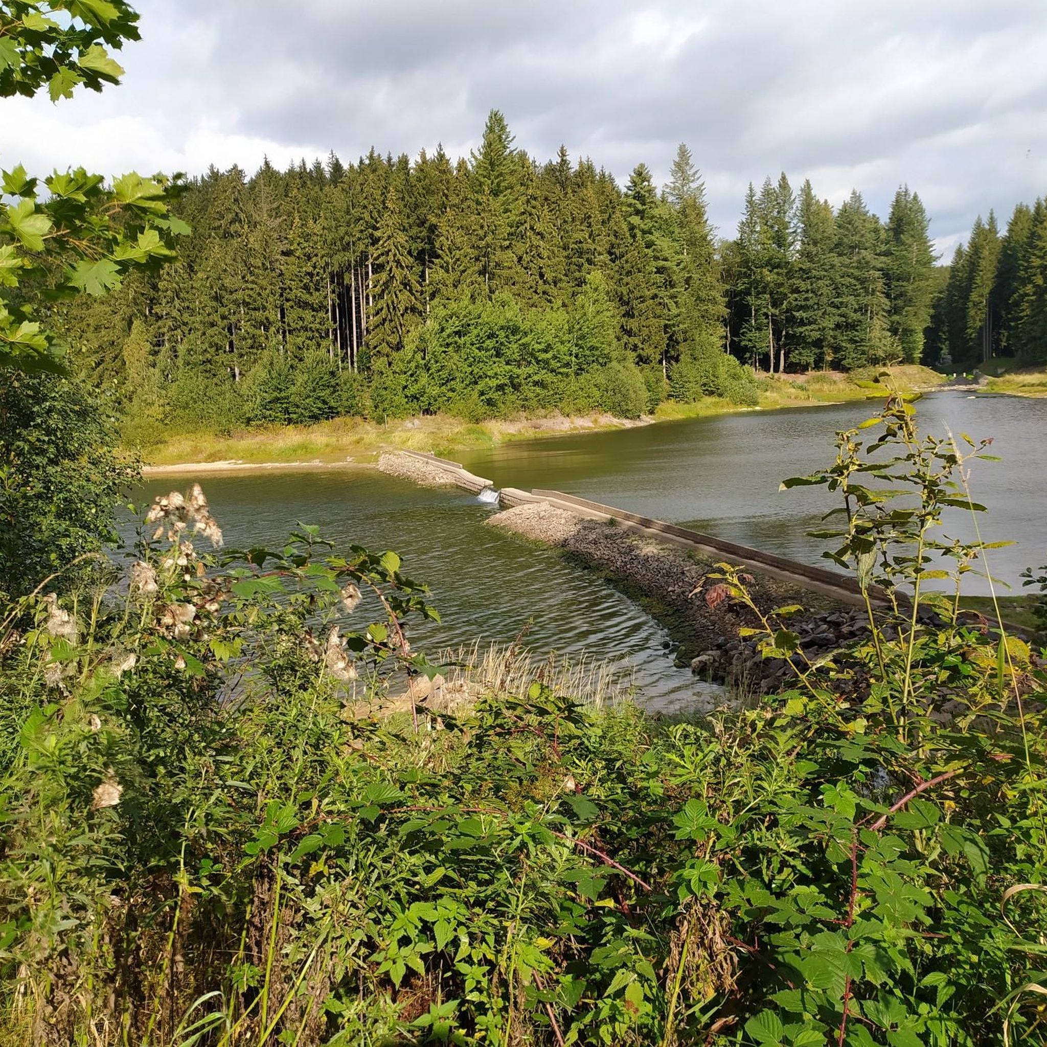
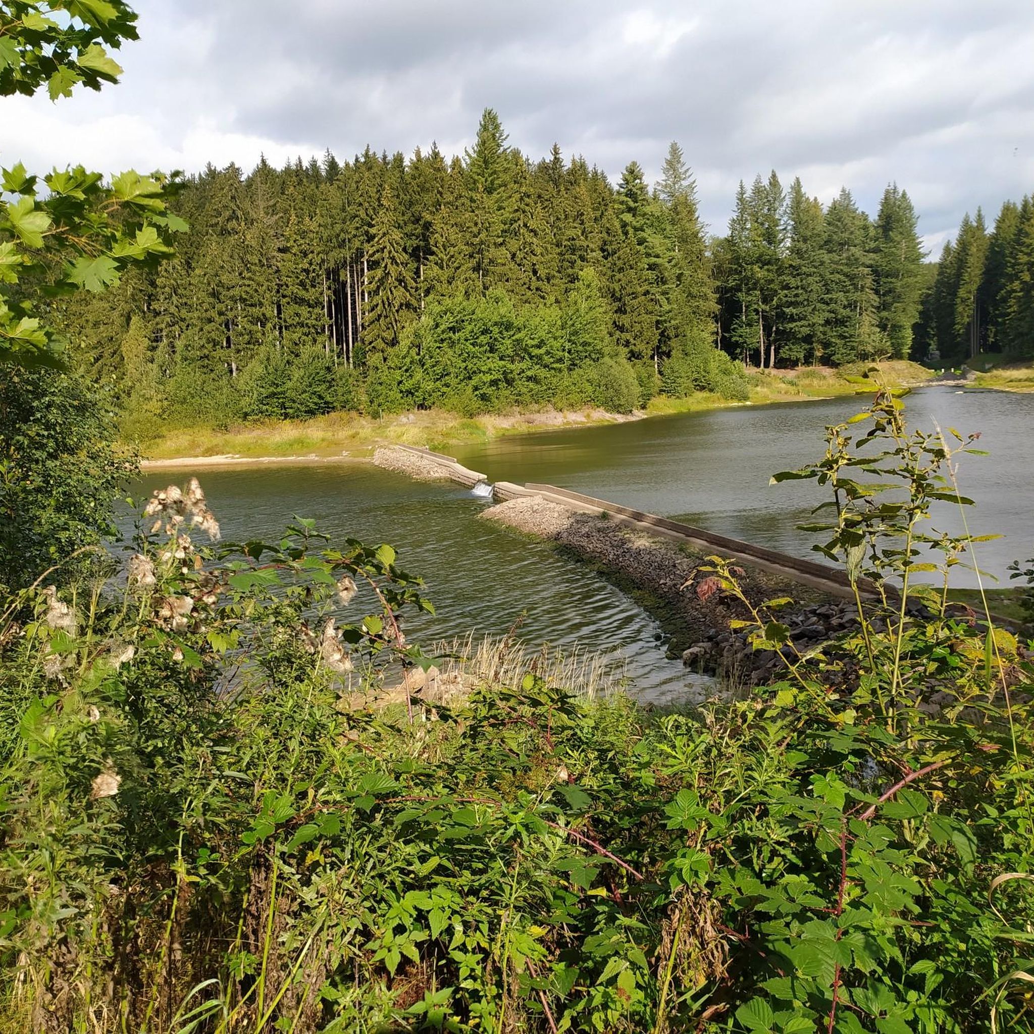
The most beautiful pond for swimming far and wide.
0
0

Always so beautiful, whatever the weather. ☀️👍 It's also simply a dream for hiking.
0
0


A truly beautiful path and view. Especially recommended when the sun is setting. It feels like Canada. Hardly any people, no houses, and a fantastic landscape.
4
0

Milestones and half-milestones were set up along the road at the distances indicated by them. A junction stone was set up at the branch of a secondary road, which was used as a postal route, from a main road.
1
0
Forchheim Castle was built in 1558 for Christoph von Berbisdorf. The city of Chemnitz acquired the castle in 1912, as it did with other manors and properties in the area. It needed large areas to build the Saidenbach Dam. Construction was delayed until well after the end of the First World War. The castle was used by the forestry administration and as a children's convalescent home. It later served as the hunting lodge of the notorious Martin Mutschmann. From 1953, Niederforchheim Castle was used as a kindergarten. The outbuildings were demolished in the 1970s. The kindergarten moved out in 1999. The previous year, the castle was purchased privately. Since then, the castle has been renovated and surrounded by a high wall. Source:https://sachsens-schloesser.de/pockau-lengefeld-schloss-forchheim/
0
0
great corner with wonderful paths
0
1
Frequently Asked Questions
How many mountain bike trails are available around Dam Saidenbach?
There are nearly 200 mountain bike trails around Dam Saidenbach, offering a wide range of options for different skill levels. This includes over 40 easy routes, more than 120 moderate trails, and 22 challenging paths for experienced riders.
What kind of terrain can I expect on mountain bike trails in the Dam Saidenbach area?
The terrain around Dam Saidenbach, situated in the picturesque Ore Mountains, features a mix of forested hills and paths winding through natural surroundings. You'll encounter well-maintained trails, some with unpaved segments, offering diverse experiences from gentle inclines to more challenging ascents and descents.
Are there any family-friendly mountain bike routes near Dam Saidenbach?
Yes, there are several easy routes suitable for families. For instance, the Saidenbach Dam Inlet – Saidenbach Reservoir loop from Lippersdorf is an easy 6.4-mile (10.3 km) path that provides tranquil views of the water and surrounding nature, perfect for a relaxed family outing.
Are there mountain bike trails that offer scenic views of the Saidenbach Reservoir?
Absolutely. Many trails provide stunning views of the reservoir. A popular choice is the View of the Saidenbach Forebay – Saidenbach Reservoir loop from Forchheim, a moderate 9.3-mile (14.9 km) route that specifically highlights the reservoir's forebay. You can also find excellent vantage points like View of the Saidenbach Reservoir.
What do other mountain bikers enjoy most about the trails in Dam Saidenbach?
The mountain bike trails around Dam Saidenbach are highly rated by the komoot community, with an average score of 4.7 stars from over 800 reviews. Reviewers often praise the diverse terrain, the tranquil beauty of the Saidenbach Reservoir, and the well-maintained network of paths suitable for various skill levels.
Are there any circular mountain bike routes around Dam Saidenbach?
Yes, many of the mountain bike routes around Dam Saidenbach are designed as loops. For example, the Niederforchheim Manor – Saidenbach Reservoir loop from Forchheim is a moderate 16.2-mile (26.1 km) circular route that takes you through varied landscapes.
Can I find any historical landmarks or points of interest along the mountain bike trails?
Yes, some routes incorporate historical sites. The Niederforchheim Manor – Rauenstein Castle loop from Forchheim is an easy 9.4-mile (15.1 km) trail that leads through forested areas and past historic sites like Rauenstein Castle, offering a blend of nature and history.
What is the best time of year to go mountain biking around Dam Saidenbach?
The Dam Saidenbach area is generally enjoyable for mountain biking from spring through autumn. The forested hills and reservoir offer pleasant conditions, though specific trail conditions can vary with weather. It's always a good idea to check local forecasts before heading out.
Are there any longer, more challenging mountain bike routes for experienced riders?
For experienced riders seeking a longer challenge, the View of Augustusburg – Saidenbach Reservoir loop from Forchheim is a moderate 29.7-mile (47.8 km) route with significant elevation changes, offering a more demanding ride and expansive views.
Are dogs allowed on the mountain bike trails around Dam Saidenbach?
While the region is generally dog-friendly for outdoor activities, specific regulations may apply to certain trails or protected areas. It's advisable to keep dogs on a leash, especially near wildlife or other trail users, and to check for any local signage regarding pet restrictions.
What are some notable natural features to look out for while mountain biking here?
Beyond the prominent Saidenbach Reservoir, you'll be riding through the scenic Ore Mountains, characterized by extensive forested hills. The Röthenbach Forest area, nearby, also offers nature trails and discovery stations, providing a rich natural environment to explore.
Most popular routes around Dam Saidenbach
Most popular attractions around Dam Saidenbach

Get inspired with the komoot mobile app


Explore more
Browse the best MTB trails in other regions.
