The best walks and hikes in the Tuxer Alps
4.5
(30465)
147,857
hikers
1,807
hikes
Hiking in the Tuxer Alps offers a diverse landscape, ranging from verdant alpine pastures and dense forests to rocky peaks and glacial features. The region features varied topography with trails traversing forest paths, stone, gravel, and boulders, often at altitudes between 1,800 and 2,800 meters. Notable natural features include numerous waterfalls, mountain lakes, and areas with ancient pine populations. This extensive network provides routes for various preferences and skill levels.
Best hiking trails in the Tuxer Alps
- The most popular…
Last updated: October 14, 2026
4.8
(634)
2,342
hikers
12.1km
03:53
260m
650m
Moderate hike. Good fitness required. Mostly accessible paths. Sure-footedness required.
4.9
(340)
2,055
hikers
7.25km
02:35
220m
140m
Moderate hike. Good fitness required. Mostly accessible paths. Sure-footedness required.


4.9
(340)
2,062
hikers
7.20km
02:32
180m
120m
Moderate hike. Good fitness required. Mostly accessible paths. Sure-footedness required.
4.7
(410)
1,534
hikers
7.76km
02:26
280m
280m
Moderate hike. Good fitness required. Mostly accessible paths. Sure-footedness required.
4.7
(319)
1,022
hikers
8.17km
03:08
440m
440m
Moderate hike. Good fitness required. Mostly accessible paths. Sure-footedness required.
4.6
(224)
876
hikers
10.5km
04:10
610m
610m
Moderate hike. Good fitness required. Mostly accessible paths. Sure-footedness required.
4.8
(336)
1,141
hikers
13.5km
04:27
620m
620m
Moderate hike. Good fitness required. Easily-accessible paths. Suitable for all skill levels.
4.7
(354)
1,302
hikers
7.71km
02:32
320m
320m
Moderate hike. Good fitness required. Mostly accessible paths. Sure-footedness required.
4.4
(216)
814
hikers
10.4km
03:22
420m
420m
Moderate hike. Good fitness required. Mostly accessible paths. Sure-footedness required.
4.5
(142)
622
hikers
2.74km
00:49
80m
80m
Easy hike. Great for any fitness level. Easily-accessible paths. Suitable for all skill levels.
Get access to more routes and recommendations from other explorers.
Already have an account?
Our route recommendations are based on thousands of hikes, rides, and runs completed by other people on komoot.
Start today with a free account
Your next adventure awaits.
Popular around Tuxer Alps
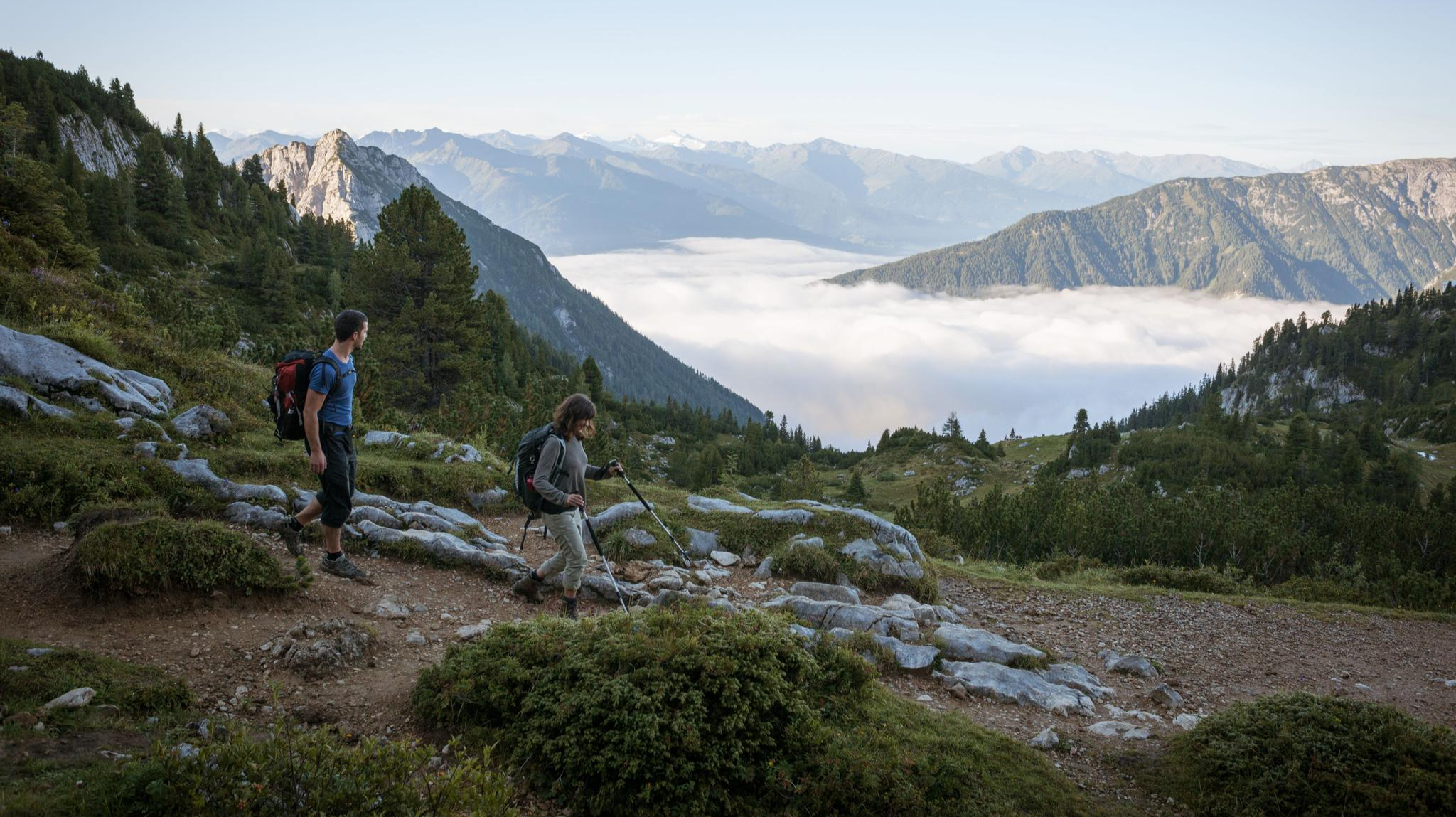
Eagle Walk – Majestic hiking along Tirol's trail

Via Venezia Alpina – hiking across the Alps to the Adriatic Sea
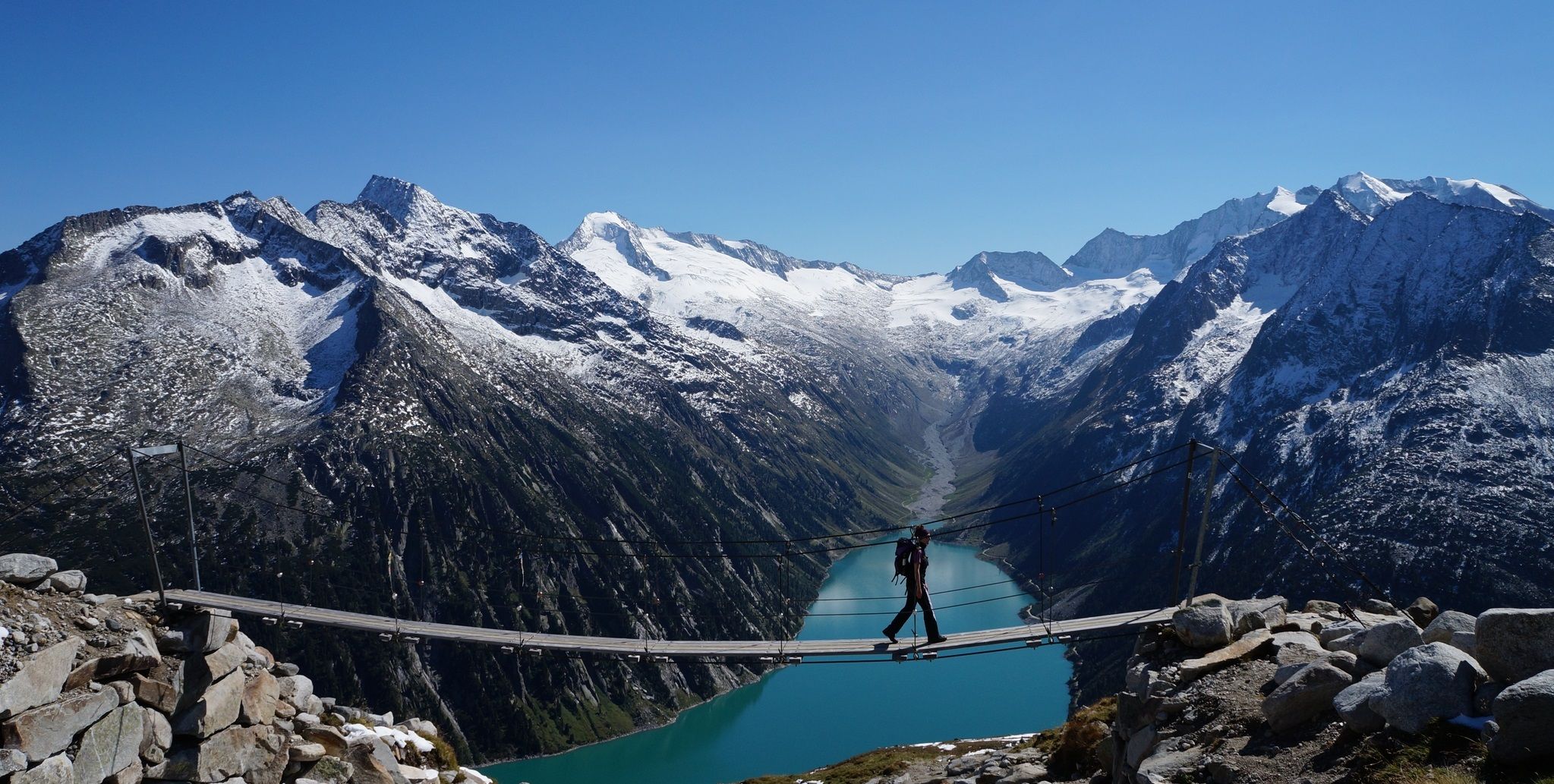
The Peter Habeler loop — an alpine trail around the Olperer
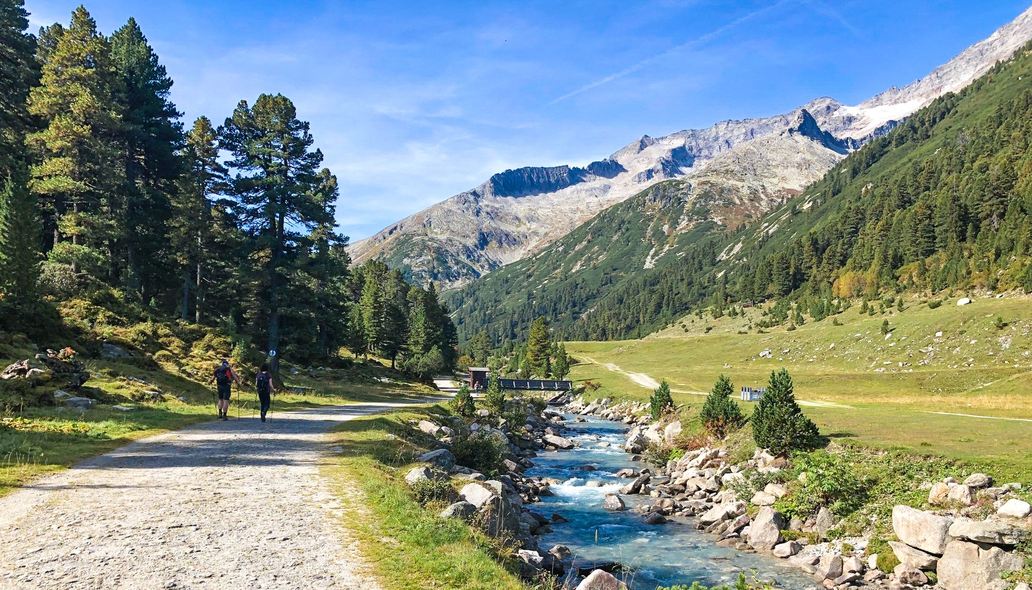
Alpine crossing for pleasure hikers – 7 stages from Lake Tegernsee to Sterzing

The "Dream Path" hiking trail – From Munich to Venice in 28 stages
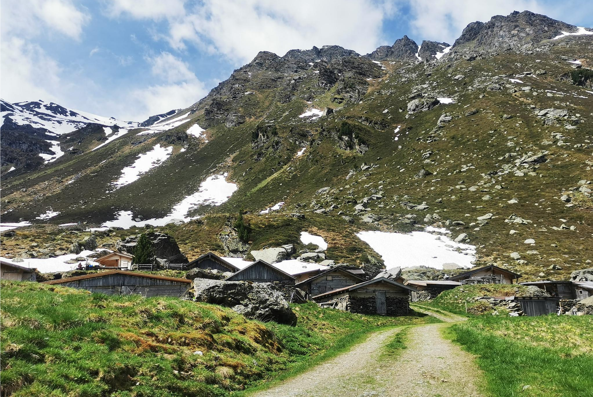
From Alm to Alm – superb hikes in the Hall-Wattens Region
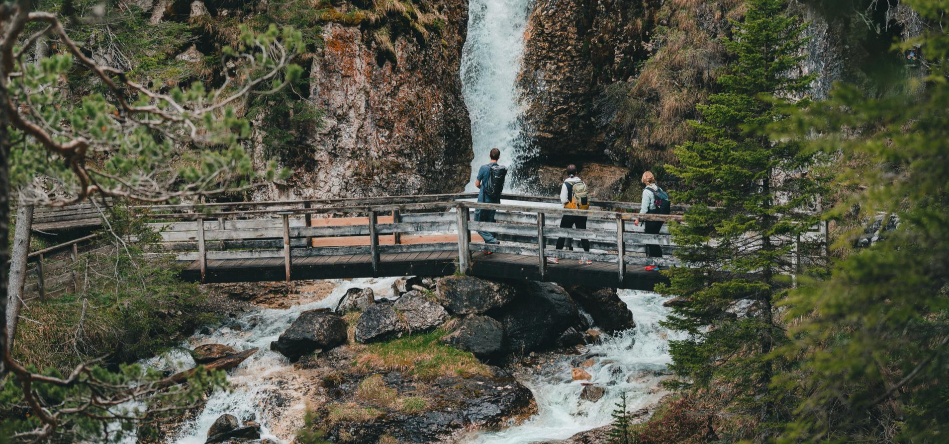
Idyllic mountain lakes and rushing waterfalls – hiking in the Wipptal
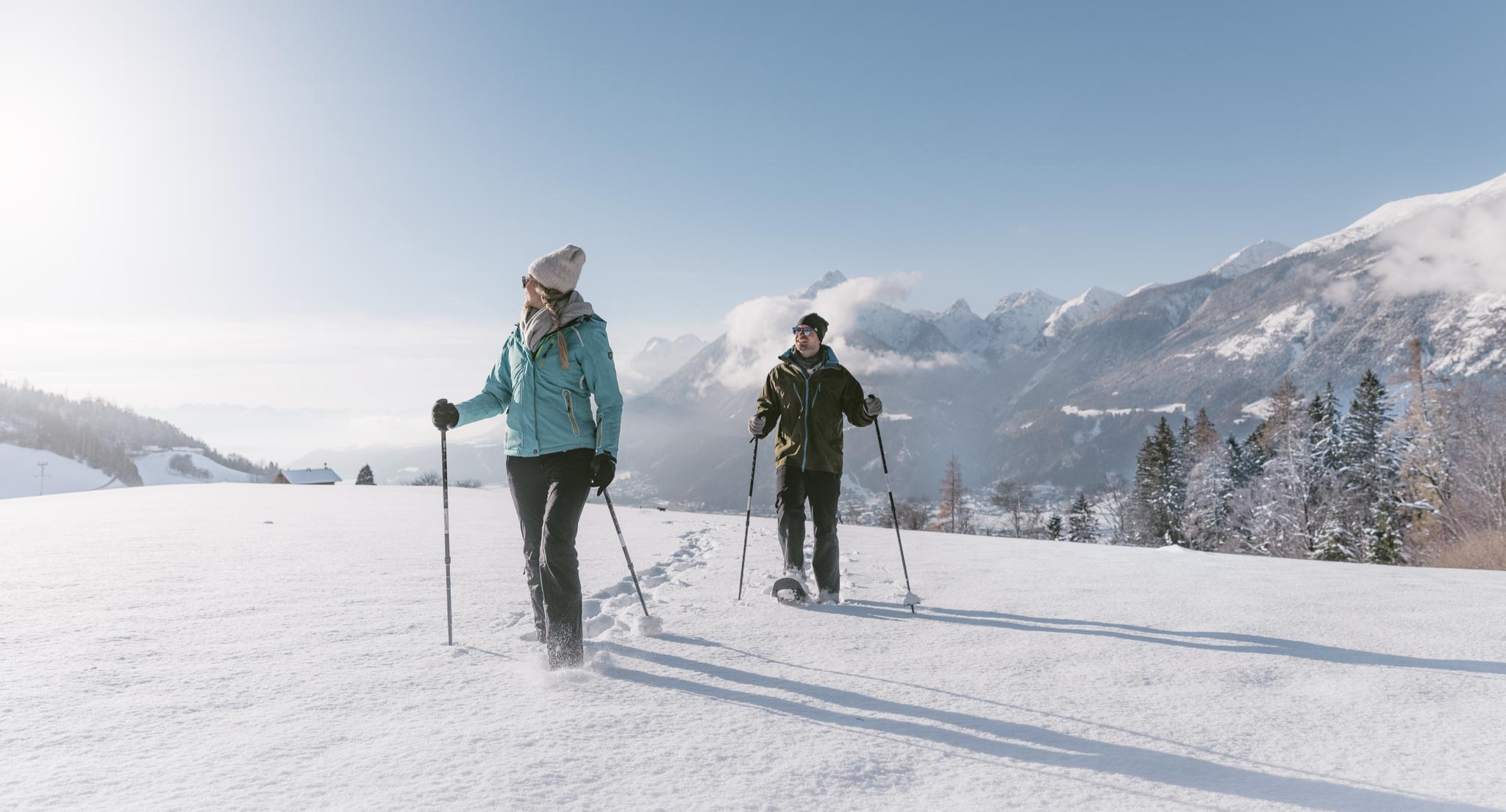
Spuren im Schnee – Schneeschuhabenteuer in der Silberregion Karwendel
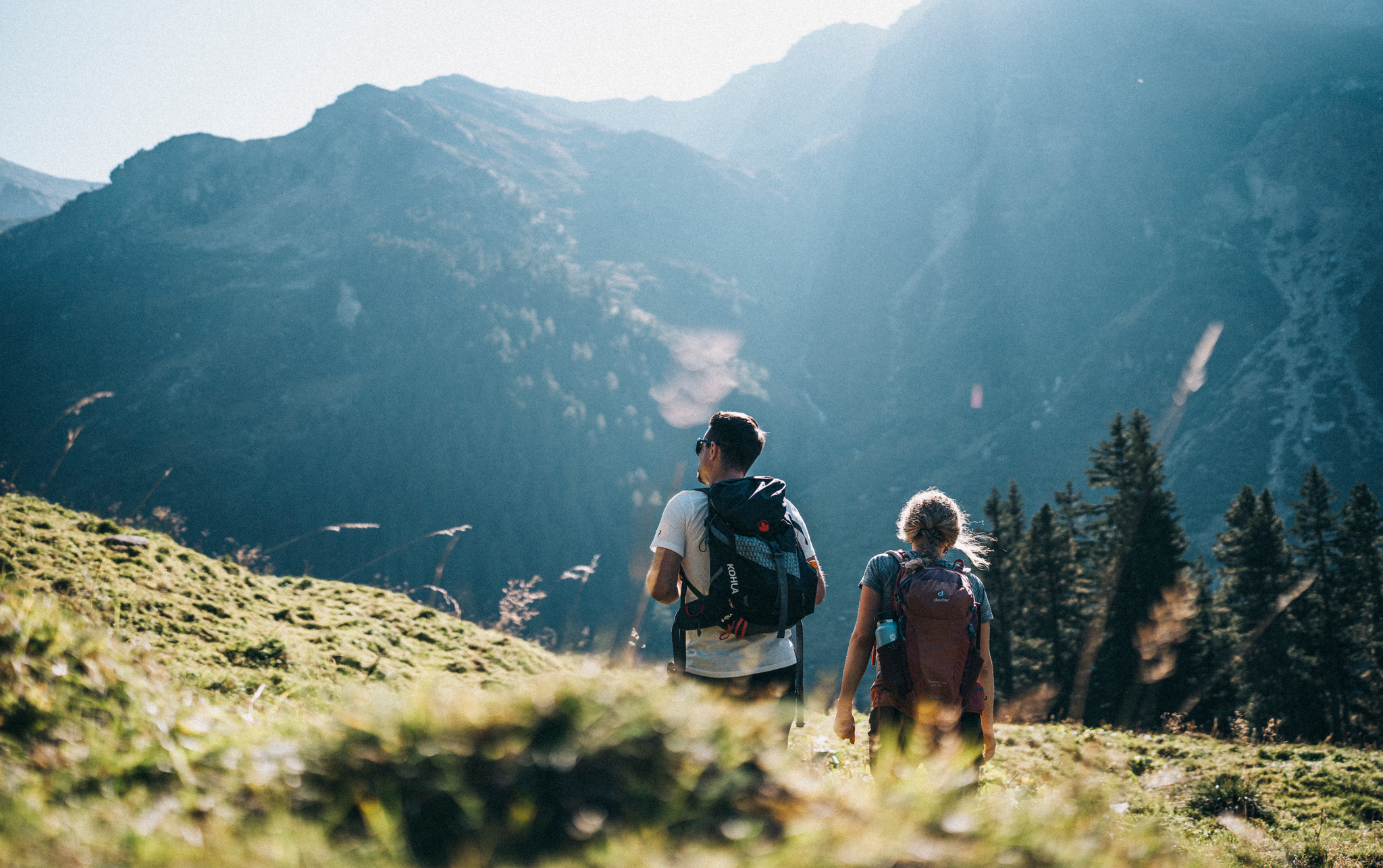
The most beautiful autumn hikes in Hall-Wattens
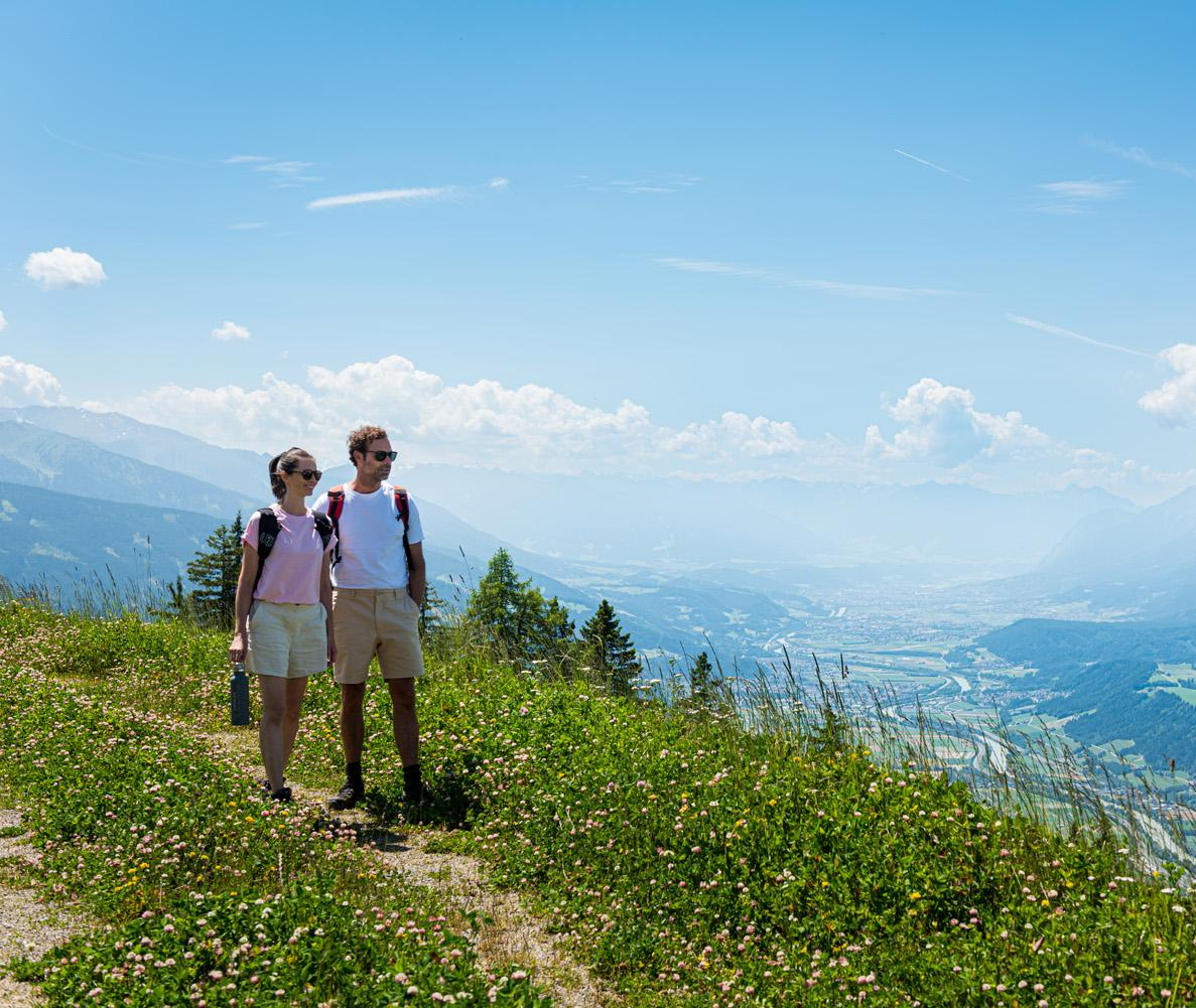
Naturgenuss pur – Wandertouren in der Silberregion Karwendel
Other adventures in the Tuxer Alps


Tips from the Community

Onkeljoch magnificent path to the plateau with a beautiful panoramic view. You can find more adders there. We were lucky enough to see one...
0
0

Extremely great panoramic view. Highly recommended. Also works well as a Bike n Hike, as you definitely have to walk the last 200 m on foot or carry the bike. You can probably get down as a really good experienced mountain biker, but I can't recommend it!
0
0

You simply have to stop here for refreshments.
5
0

A nice quirk of nature and a beautiful photo opportunity
0
0
Great route, a pleasure from beginning to end
0
0


There's an incredible amount of entertainment for the little ones. From a pond with small boats to a water playground and adventure playground, to the longest barefoot path I've ever seen. For older children, there are mountain carts and scooters. Definitely worth a trip even in summer.
2
0

Frequently Asked Questions
How many hiking trails are available in the Tuxer Alps?
The Tuxer Alps offer an extensive network of over 1,700 hiking trails. These routes cater to various preferences and skill levels, ranging from leisurely paths through alpine pastures to challenging high-alpine routes across rocky peaks and glacial landscapes.
What kind of terrain can I expect when hiking in the Tuxer Alps?
Hikers in the Tuxer Alps will encounter a diverse topography. Trails range from verdant alpine pastures and dense forests to rocky peaks and glacial features. You can traverse forest paths, then encounter trails with stone, gravel, and boulders, often at altitudes between 1,800 and 2,800 meters. The region also features unique areas with the oldest pine population in Europe.
What do other hikers say about the trails in the Tuxer Alps?
The hiking trails in the Tuxer Alps are highly regarded by the komoot community, with an average rating of 4.6 stars from over 25,000 reviews. More than 130,000 hikers have used komoot to explore the region's varied terrain, often praising the diverse landscapes and well-maintained paths.
Are there any notable natural landmarks or viewpoints in the Tuxer Alps?
Yes, the Tuxer Alps are rich in natural landmarks. Highlights include the impressive Hintertux Glacier, numerous waterfalls like the Schleierwasserfall and Schrauben Waterfall, and romantic mountain lakes. Higher elevations often reward hikers with panoramic views of hundreds of mountain peaks and neighboring ranges like the Zillertal Alps and the Inn Valley. You can also find trails leading to summits such as Spieljoch Summit (1920 m) or Rastkogel Summit.
Can I find trails that lead to mountain huts in the Tuxer Alps?
Absolutely. The Tuxer Alps are home to numerous Alpine Club huts, such as the Glungezer Hut, Lizumer Hut, and Rastkogel Hut. These huts provide excellent opportunities for rest, meals, and overnight stays, embodying a significant aspect of the alpine hiking culture. Many routes are designed to pass by or lead directly to these welcoming establishments.
Are there any castles or historical sites to explore near the hiking trails?
While primarily known for its natural beauty, the region around the Tuxer Alps also offers historical sites. You can explore places like Freundsberg Castle, Ambras Castle in Innsbruck, or the Rottenburg Castle Ruins, which are accessible from various points in the wider Tuxer Alps area.
Are there options for public transport to access hiking trailheads in the Tuxer Alps?
Yes, accessibility to trailheads in the Tuxer Alps is well-supported. A free hiking bus service and hiking taxis are available to help you reach various starting points for your adventures. Additionally, lift networks like the Spieljochbahn provide easy access to upper slopes, allowing you to begin your hike at higher elevations.
Are there any easy or beginner-friendly hikes in the Tuxer Alps?
Yes, the Tuxer Alps offer a good selection of easy and beginner-friendly hikes. For example, the Glocke nature trail is an easy option, perfect for a relaxed walk. Many paths through alpine pastures and lower forest areas are also suitable for those new to hiking or looking for a less strenuous experience.
Can I find circular hiking routes in the Tuxer Alps?
Yes, the Tuxer Alps feature several circular hiking routes. These are ideal for hikers who prefer to start and end their journey at the same point. An example is the Spieljoch circular hike, which offers a rewarding loop experience.
Are there any family-friendly hikes in the Tuxer Alps?
The Tuxer Alps are a great destination for families, offering child-friendly hikes with interactive elements. While specific routes are not listed in the guide, the region is known for trails like the Schlegeis Alpine Trail and Finkenberg Adventure Path, which provide engaging experiences for younger hikers. Many of the easier routes are also suitable for families.
What is the best time of year to hike in the Tuxer Alps?
The best time to hike in the Tuxer Alps is generally from late spring to early autumn (May to October). During these months, the weather is more stable, trails are clear of snow at lower to mid-altitudes, and alpine flora is in full bloom. Higher alpine routes, especially those involving glaciers, are best tackled in mid-summer (July-August).
Are there any long-distance hiking trails that pass through the Tuxer Alps?
Yes, the Tuxer Alps are integrated into several renowned long-distance hiking routes. These include sections of the famous Eagle Path (Adlerweg), the Dream Path Munich-Venice, and the Via Alpina. These trails offer multi-day adventures for experienced hikers looking to explore the region in depth.
Are there any trails that offer unique forest experiences?
Yes, the Tuxer Alps are home to unique forest areas. You can explore paths that lead through some of the oldest pine populations in Europe. For instance, the Zirbenweg – pleasure hike on the Patscherkofel and Der Zirbenweg am Patscherkofel – Mountains & the City both lead through ancient stone pine forests, offering a distinct ecological dimension to your hike.
Most popular routes in the Tuxer Alps
Most popular attractions in the Tuxer Alps

Get inspired with the komoot mobile app


Explore more
Browse the best Hikes in other regions.
