The best walks and hikes around Sankelmarker Lake
4.5
(3538)
15,446
hikers
640
hikes
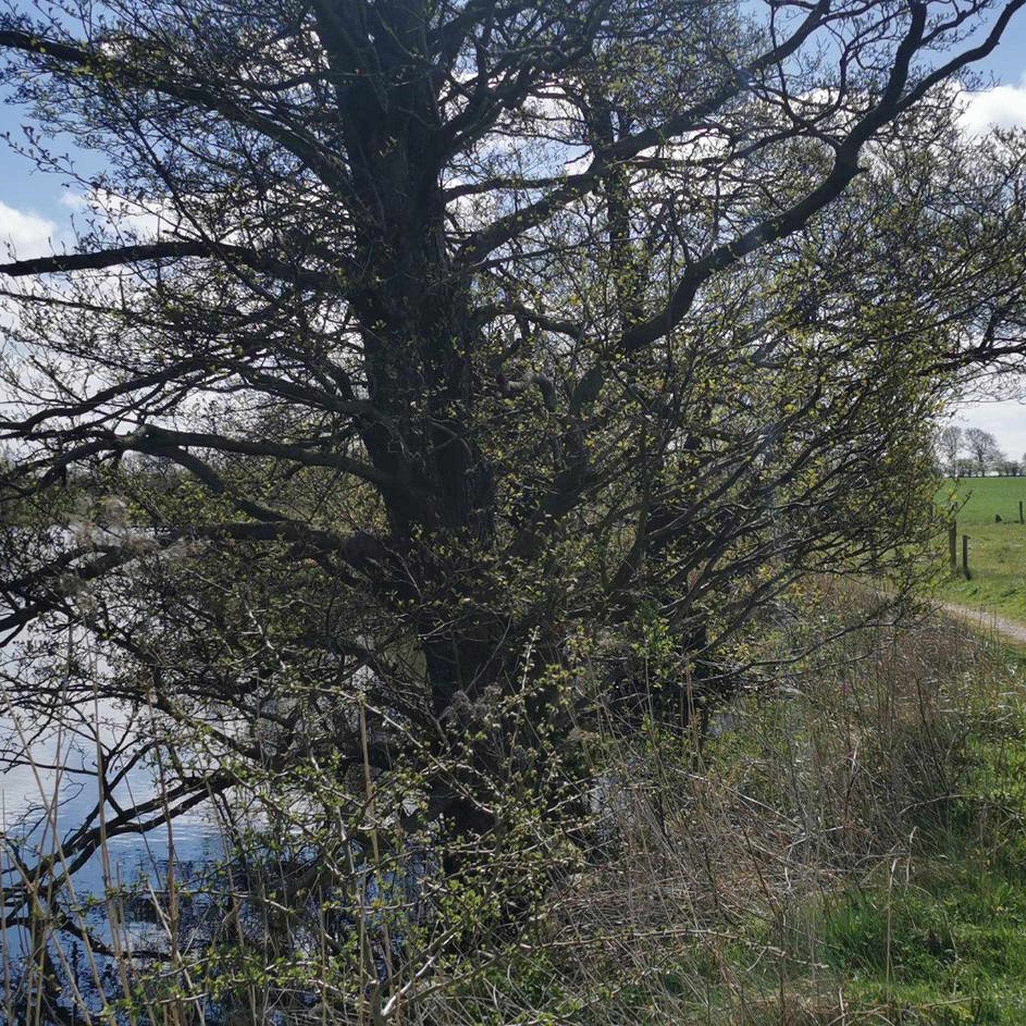
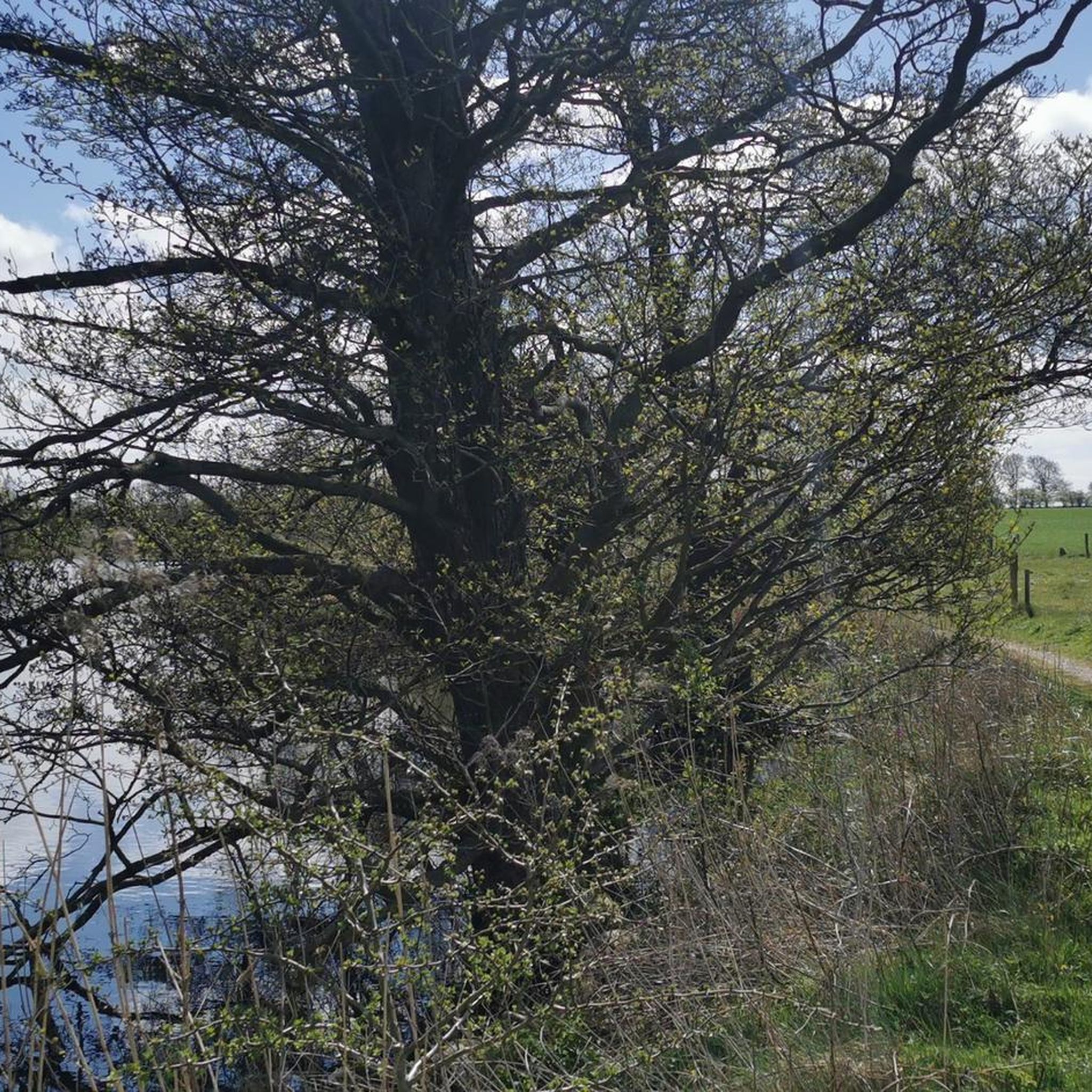
Hiking around Sankelmarker Lake offers varied landscapes shaped by glacial activity, including the lake itself and nearby end moraines like the Fröruper Hills. The region features a mix of moorland and forest, with a dynamic shoreline that can be wet in parts. Trails explore the lake's surroundings, providing views across the water and into the Ihlsee Lowlands. The area's topography ranges from gentle lakeside paths to more undulating terrain within the nature reserves.
Best hiking trails around Sankelmarker Lake
- The most popular hiking route is Swimming spot at Sankelmarker See – Belted Galloway Cattle loop from Sankelmark, a 3.4 miles (5.5 km) trail that takes 1 hour 24 minutes to complete. This easy route passes through areas where Belted Galloway cattle graze.
- Another top favourite among local hikers is Sankelmarker See – Swimming spot at Sankelmarker See loop from Sankelmark, an easy 2.9 miles (4.7 km) path. This trail offers views of the lake and access to a swimming spot.
- Local hikers also love the Fröruper Hills Nature Reserve – Schmidt's meadow pond loop from Sankelmark, a 9.3 miles (15.0 km) trail leading through the Fröruper Hills Nature Reserve, often completed in about 3 hours 52 minutes.
- Hiking around Sankelmarker Lake is defined by its glacial lake, the Fröruper Hills, and a blend of moor and forest landscapes. The network of hiking trails offers options for various ability levels, from easy lakeside walks to moderate routes through nature reserves.
- The routes in Sankelmarker Lake are highly rated by the komoot community with an average score of 4.5 stars from over 2,900 reviews. More than 13,500 hikers have used komoot to explore Sankelmarker Lake's varied terrain.
Last updated: July 10, 2026
4.7
(321)
1,023
hikers
Easy hike. Great for any fitness level. Easily-accessible paths. Suitable for all skill levels.
4.9
(19)
42
hikers
3.55km
00:55
20m
20m
Easy hike. Great for any fitness level. Easily-accessible paths. Suitable for all skill levels.

Sign up for free
4.7
(10)
18
hikers
Moderate hike. Good fitness required. Easily-accessible paths. Suitable for all skill levels.
4.0
(2)
10
hikers
Easy hike. Great for any fitness level. Easily-accessible paths. Suitable for all skill levels.
5.0
(2)
20
hikers
Easy hike. Great for any fitness level. Easily-accessible paths. Suitable for all skill levels.
Get access to more routes and recommendations from other explorers.
Sign up for free
Already have an account?
Our route recommendations are based on thousands of hikes, rides, and runs completed by other people on komoot.
Start today with a free account
Your next adventure awaits.
Login or Signup
Popular around Sankelmarker Lake



Tips from the Community

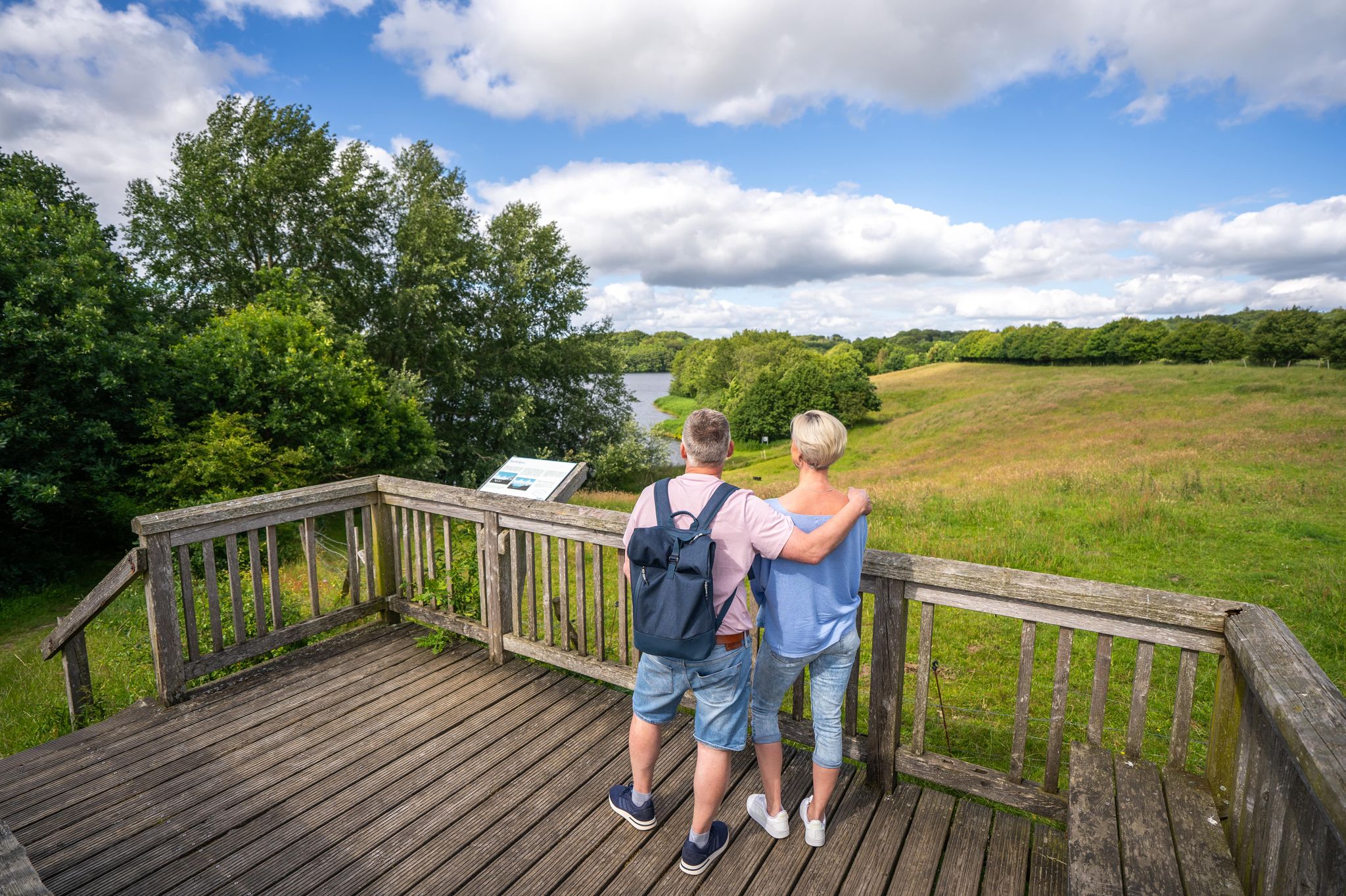
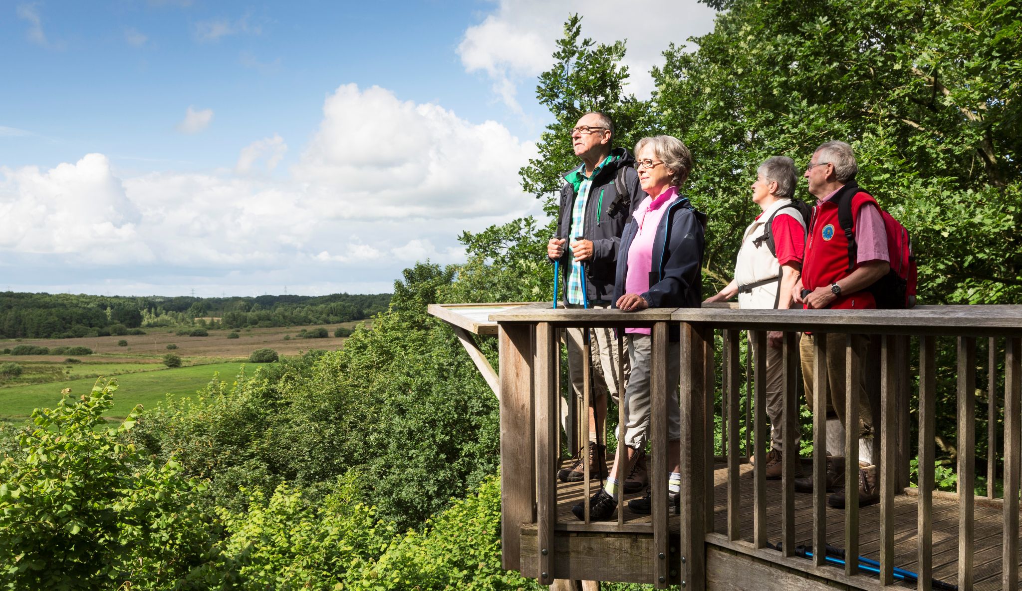
A stable viewing platform above the lake... just a few meters from the water... the short detour is worthwhile and offers a magnificent view across the lake.
2
0
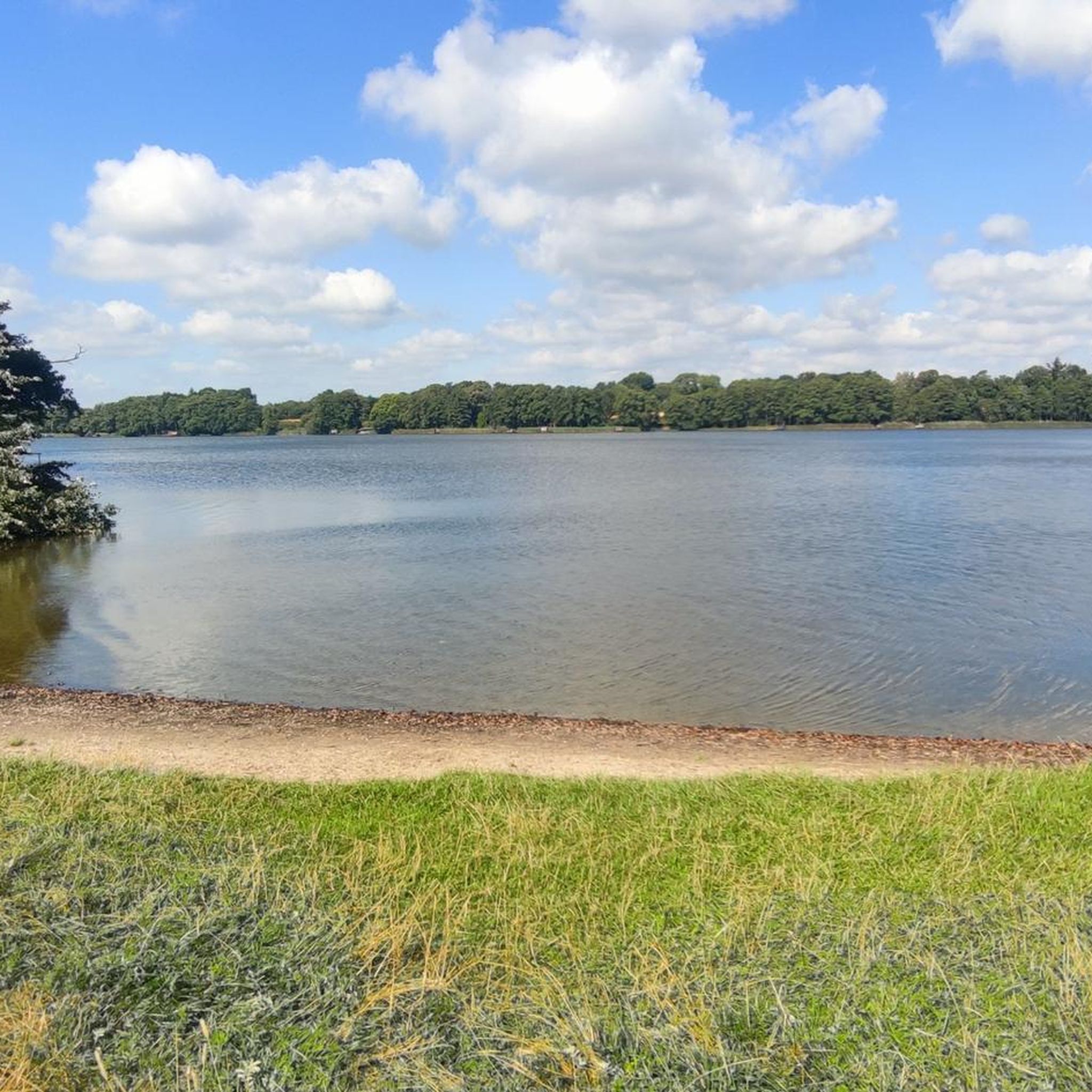
A small beach with an adjoining meadow... perfect for relaxing by the lake... and when it's warm, you can cool off in the lake.
1
0
You really have to make an effort if you want to collect enough water here.
1
0
An impressive reconstruction of a historical burial site... well worth a visit. Numerous information panels provide fascinating background information... Further information is available in the pavilion on the other side of the path.
2
0
Inconspicuous little bridge to cross the stream
1
0
Beautiful hiking trails lead through this magnificent landscape... moor and forest in harmony... Details: https://de.wikipedia.org/wiki/Fröruper_Berge
2
0
Cozy café above Lake Sankelmark... perfect for a short walk around the lake with a stop at the end
1
0

Arnkiel Park Oeversee: In the Oeversee district of Schleswig-Flensburg, one of the most important megalithic tombs dating back over 5,000 years is located. Arnkiel Park has been developed around this monument, which includes a restored long grave. Here, you can read and learn fascinating facts on the many information panels. https://www.arnkiel-park.de/
1
0
Frequently Asked Questions
How many hiking trails are available around Sankelmarker Lake?
There are over 600 hiking routes around Sankelmarker Lake, catering to various fitness levels. You'll find a wide selection, including over 450 easy trails, 150 moderate routes, and a few more challenging options.
What kind of terrain can I expect on hikes around Sankelmarker Lake?
The terrain around Sankelmarker Lake is diverse, shaped by its glacial history. You'll encounter varied landscapes including the lake's shoreline, which can be wet in parts, and the undulating hills of the Fröruper Hills Nature Reserve. Expect a mix of moorland and forest paths, with some routes offering gentle lakeside walks and others providing more elevation changes.
Are there any circular walks around Sankelmarker Lake?
Yes, many routes around Sankelmarker Lake are circular. For example, the easy Swimming spot at Sankelmarker See – Belted Galloway Cattle loop from Sankelmark is a popular choice, offering a 3.4-mile (5.5 km) loop. Another option is the Sankelmarker See – Swimming spot at Sankelmarker See loop from Sankelmark, which is 2.9 miles (4.7 km) long.
What natural features can I see while hiking near Sankelmarker Lake?
Hikers can explore a rich natural environment. The area features the lake itself, formed during the Ice Age, and the magnificent landscape of the Fröruper Hills Nature Reserve, which includes moor and forest. You might also spot Belted Galloway cattle grazing in certain areas, and discover the 'Small Spring' and views over the Ihlsee Lowlands.
Are there any viewpoints or observation decks around Sankelmarker Lake?
Yes, there are several spots offering scenic views. The Sankelmarker Lake Viewing Platform provides expansive vistas across the lake. You can also find an Observation Deck at Sankelmarker Lake and various benches offering pleasant views, such as the View of the Lake with Bench.
Are there family-friendly hiking options around Sankelmarker Lake?
Many of the easy trails around Sankelmarker Lake are suitable for families. Paths like the Oeversee Battle Memorial – Arnkiel Park loop from Oeversee, which is 3.3 miles (3.3 km) long, offer accessible routes. The area also features a Water Adventure Trail with informational displays, which can be engaging for children.
What historical sites or landmarks can I visit near the hiking trails?
Beyond the natural beauty, you can explore historical points of interest. The Oeversee Battle Memorial is a significant historical attraction. Additionally, the Megalithic Tomb of Munkwolstrup in Arnkiel Park, a reconstructed burial site with information panels, offers a cultural detour.
Are there places to swim or relax by the water after a hike?
Yes, during warmer weather, you can enjoy a refreshing dip. There is a Swimming spot at Sankelmarker See with an adjoining meadow, perfect for relaxation and swimming. Note that motorized water sports are prohibited to maintain the lake's tranquility.
What do other hikers say about the trails around Sankelmarker Lake?
The hiking experience around Sankelmarker Lake is highly regarded by the komoot community, with an average rating of 4.5 stars from over 2,900 reviews. Hikers often praise the varied landscapes, the peaceful atmosphere, and the well-maintained paths that explore the lake's surroundings and the Fröruper Hills.
Are there any cafes or places to eat near Sankelmarker Lake?
After your hike, you can visit Café Kiek Inn, which is known for its homemade cakes. There are also privately owned fishermen's huts nearby, adding to the local charm.
What is the best time of year to hike around Sankelmarker Lake?
The area offers enjoyable hiking experiences throughout the year. However, the shoreline can be wet and muddy outside of warm seasons, so consider this when planning your visit. Spring and autumn offer beautiful scenery, while summer is ideal for combining hikes with a swim in the lake.
Can I bring my dog on the hiking trails around Sankelmarker Lake?
While specific dog-friendly regulations vary, generally, dogs are welcome on many trails in the region, especially if kept on a leash. It's always recommended to check local signage or specific route details for any restrictions, particularly in nature reserves or areas with grazing animals like the Belted Galloway cattle.
Most popular routes around Sankelmarker Lake
Most popular attractions around Sankelmarker Lake

Get inspired with the komoot mobile app


Explore more
Browse the best Hikes in other regions.
