The best walks and hikes around Blunker Lake
4.5
(4721)
16,149
hikers
393
hikes
Hiking around Blunker Lake offers a network of trails through varied landscapes in Kreis Segeberg. The region is characterized by its tranquil lake, surrounding woodlands, and areas of moorland, providing a diverse environment for outdoor activities. The terrain is generally gentle, with minor elevation changes, making it accessible for many hikers.
Best hiking trails around Blunker Lake
- The most popular hiking route is Gut Muggesfelde – Muggesfelder Moor loop from Blunk, an easy 2.7 miles (4.4 km) trail that…
Last updated: July 5, 2026
4.5
(54)
151
hikers
4.37km
01:09
30m
30m
Easy hike. Great for any fitness level. Easily-accessible paths. Suitable for all skill levels.
5.0
(1)
3
hikers
7.20km
01:51
40m
40m
Easy hike. Great for any fitness level. Easily-accessible paths. Suitable for all skill levels.

Sign up for free
4.5
(21)
52
hikers
8.38km
02:09
30m
30m
Moderate hike. Good fitness required. Easily-accessible paths. Suitable for all skill levels.
4.6
(5)
48
hikers
19.7km
05:04
90m
90m
Hard hike. Very good fitness required. Easily-accessible paths. Suitable for all skill levels.
4.8
(6)
18
hikers
14.6km
03:46
70m
70m
Moderate hike. Good fitness required. Easily-accessible paths. Suitable for all skill levels.
Get access to more routes and recommendations from other explorers.
Sign up for free
Already have an account?
Our route recommendations are based on thousands of hikes, rides, and runs completed by other people on komoot.
Start today with a free account
Your next adventure awaits.
Login or Signup
Tips from the Community

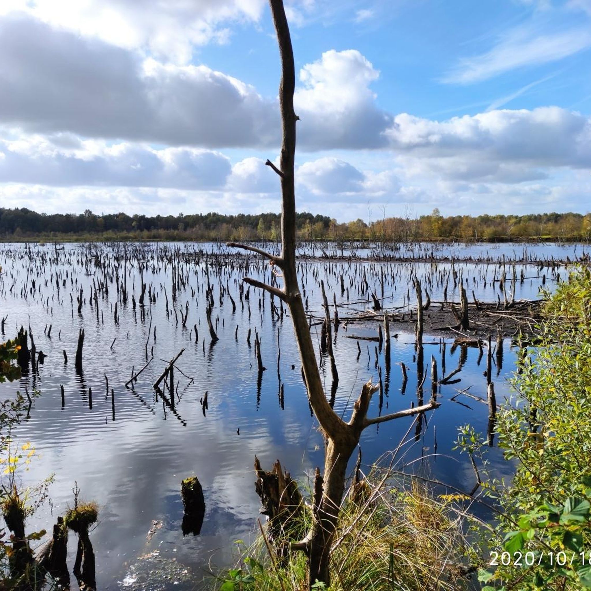
The Tarbeker Moor is the remnant of a larger moor complex that formed in a meltwater channel after the last ice age. The surrounding moors were drained and almost completely converted into grassland in the 19th and 20th centuries. The Tarbeker Moor was partially industrially drained down to the mineral subsoil from 1951 to 1990. The peat extraction led to the complete destruction of the high moor vegetation.
7
0
In 1991, the renaturation of the Tarbeker Moor (a raised bog still capable of renaturation) began. Through the impoundment of the water from the Tensfelder Au, as well as inflow from springs from the subsoil and from the slopes, a large-scale vegetation of transition and quaking bogs has developed on the former extraction areas. In the western shallow lakes, peat moss-rich quaking mats of Calla palustris (bog-calla) and open water areas with Utricularia vulgaris (common bladderwort) dominate. In the eastern excavation areas, extensive stands of Carex paniculata (great-panicled sedge), Carex pseudocyperus (pseudocyphel sedge), and Juncus effusus (soft-rush) interspersed with grey willows have formed. In places, rare peat mosses occur
8
0

The moor is a quiet, natural place. You can and should linger here peacefully.
1
0

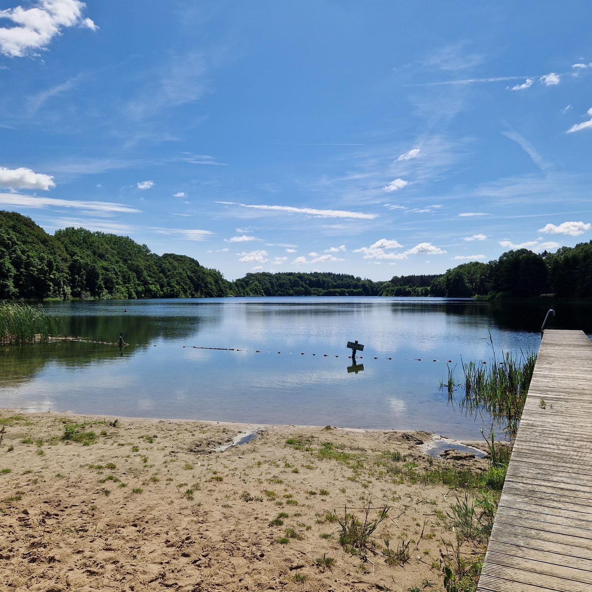
An absolute dream rest stop. Trash cans, a dock, several barbecue and seating areas, and shelters.
0
0

A small, fine bathing area
0
0

Water, forest, peace and quiet...you can't go wrong...
0
0
Really beautiful, quiet heathland landscape. Different from the surrounding area. Ideal with a dog, as there are few pedestrians.
0
0
Frequently Asked Questions
What are the general difficulty levels of hiking trails around Blunker Lake?
The trails around Blunker Lake are generally accessible, with a significant number of easy routes. Out of over 400 available hikes, 281 are classified as easy, 98 as moderate, and 22 as difficult. This means there are options for all experience levels, though the terrain is mostly gentle with minor elevation changes.
Are there family-friendly hiking options near Blunker Lake?
Yes, many trails around Blunker Lake are suitable for families. The region's generally gentle terrain and numerous easy routes make it ideal for outings with children. For example, the Gut Muggesfelde – Muggesfelder Moor loop from Blunk is an easy 2.7-mile (4.4 km) trail that takes just over an hour, perfect for a shorter family walk through scenic moorland.
Can I bring my dog on the hiking trails around Blunker Lake?
Most trails around Blunker Lake are dog-friendly, offering plenty of opportunities for walks with your canine companion through woodlands and along lake shores. It's always a good idea to keep dogs on a leash, especially in nature reserve areas or near livestock, and to check local signage for any specific restrictions.
What is the typical length and duration of hikes around Blunker Lake?
Hikes around Blunker Lake vary widely in length and duration. You can find short, easy strolls like the Lake Warder – Wardersee Swimming Spot loop from Blunk, which is 4.5 miles (7.2 km) and takes about 2 hours. For longer excursions, trails like the Trave Bridge – Heathland in the Forest loop from Blunk extend to 12.2 miles (19.7 km) and can take around 5 hours to complete.
Are there any circular walks available in the Blunker Lake area?
Yes, the Blunker Lake region features many excellent circular walks, allowing you to start and end your hike at the same point. Examples include the popular Gut Muggesfelde – Muggesfelder Moor loop from Blunk and the longer Tarbeker Moor – View of Tarbeker Moor loop from Blunk, which offers diverse scenery.
What kind of natural landscapes can I expect to see while hiking here?
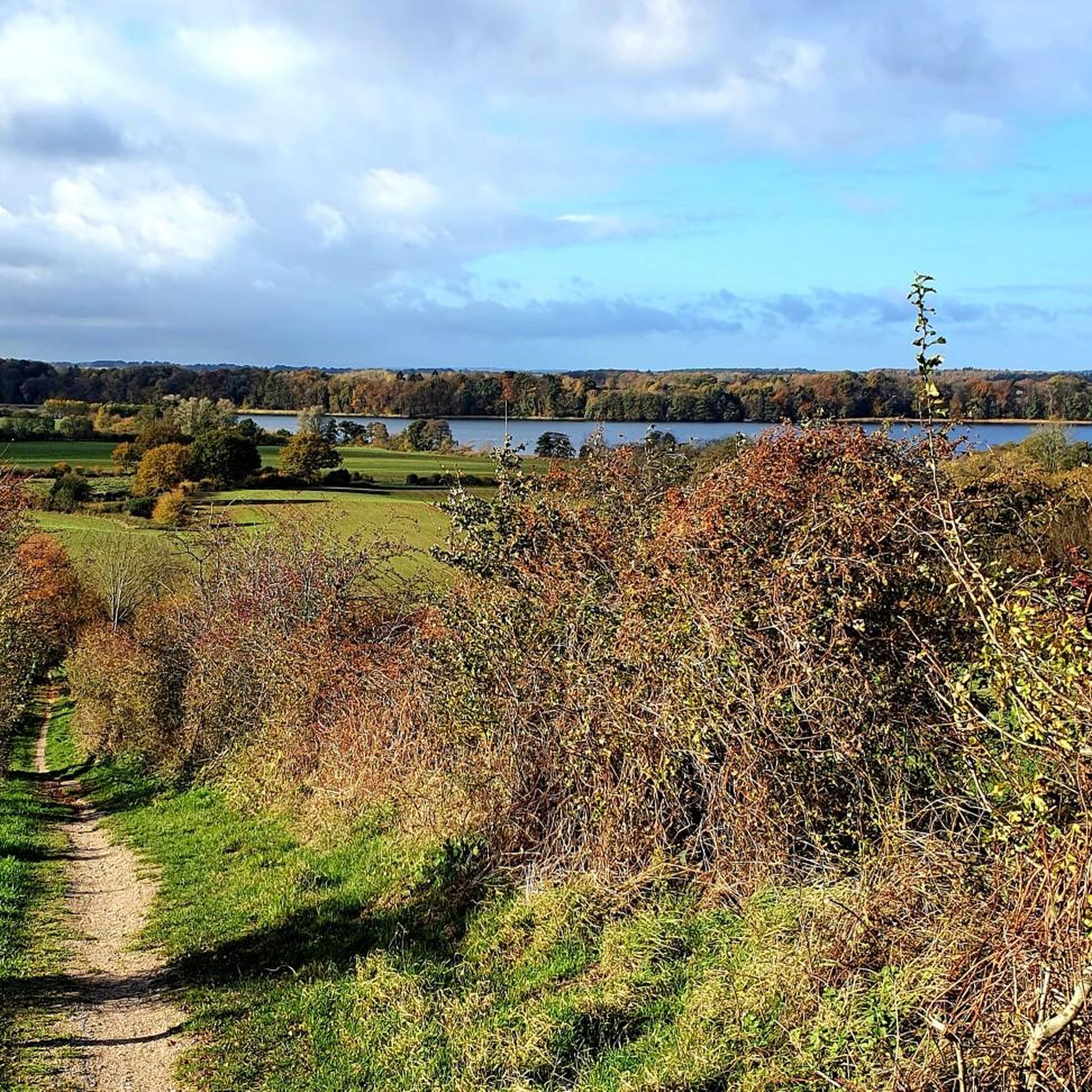
Hiking around Blunker Lake offers a diverse range of natural landscapes. You'll encounter tranquil lake shores, dense woodlands, and open moorland areas. Specific trails, such as those leading through the Muggesfelder Moor or past Lake Warder, highlight these varied environments.
What do other hikers enjoy most about the trails around Blunker Lake?
The trails around Blunker Lake are highly rated by the komoot community, with an average score of 4.5 stars from over 4,200 reviews. Hikers often praise the tranquil atmosphere, the varied landscapes of woodlands and moorland, and the well-maintained paths that make the region accessible for many.
Are there any easy hikes suitable for beginners around Blunker Lake?
Absolutely. Blunker Lake is an excellent destination for beginners, with 281 out of 401 routes classified as easy. These trails typically have minimal elevation gain and well-defined paths. A great option is the Lake Warder – Wardersee Swimming Spot loop from Blunk, an easy 4.5-mile path offering pleasant views.
What is the best time of year to hike around Blunker Lake?
The best time to hike around Blunker Lake generally depends on your preferences. Spring and autumn offer pleasant temperatures and beautiful scenery with blooming flora or vibrant fall colors. Summer is ideal for combining hikes with swimming in the lakes, while winter can provide serene, crisp walks, though some paths might be muddy or icy.
Are there any wild swimming spots accessible from the hiking trails?
Yes, the region around Blunker Lake, including nearby Lake Warder, offers opportunities for wild swimming. The Lake Warder – Wardersee Swimming Spot loop from Blunk specifically passes a swimming spot, making it convenient to combine a hike with a refreshing dip during warmer months.
Are there any permits required for hiking in the Blunker Lake area?
Generally, no special permits are required for hiking on the public trails around Blunker Lake. The area is freely accessible for recreational activities. However, always respect local regulations, especially in designated nature protection areas, and stay on marked paths.
What should I wear for hiking around Blunker Lake in summer?
For summer hiking around Blunker Lake, light, breathable clothing is recommended. Layers are always a good idea, as temperatures can vary. Comfortable hiking shoes are essential, and consider bringing sun protection like a hat and sunscreen, as well as insect repellent, especially when walking through wooded or moorland areas.
Are there any cafes or places to eat near the hiking trails?
While the guide focuses on the trails themselves, the villages surrounding Blunker Lake and in the wider Kreis Segeberg region often have local cafes or inns where you can find refreshments. It's advisable to check local listings or plan your route to pass through a village if you intend to stop for food or drink.
Most popular routes around Blunker Lake

Get inspired with the komoot mobile app


Explore more
Browse the best Hikes in other regions.
