The best walks and hikes around Mountainaire
3.6
(15)
96
hikers
23
hikes
Hiking around Mountainaire, Arizona, is set within the Coconino National Forest, characterized by high-elevation ponderosa pine forests and canyons formed from the area's volcanic history. This network of hiking trails provides access to landscapes like Walnut Canyon and offers routes across varied forest floors. The area features views of Elden Peaks and the San Francisco Peaks, which include Humphreys Peak. The region's volcanic terrain contributes to its diverse geological features.
Best hiking trails around Mountainaire
- The most popular hiking route…
Last updated: June 25, 2026
6
hikers
7.27km
01:55
60m
60m
Hike the easy 4.5-mile Soldier and Bridge Trail Loop through pine forests in Fort Tuthill County Park, perfect for families and dogs.
5
hikers
10.6km
02:57
210m
190m
Hike the moderate Kelly Pocket Loop in Coconino National Forest, exploring sandstone caves, water pools, and lush canyon flora over 6.6 mile

Sign up for free
5
hikers
2.70km
00:43
40m
30m
Embark on the Skunk Canyon Loop, an easy hiking route that guides you through a varied landscape. You will transition from open, sun-drenched meadows into a woodsy slot canyon, shaded…
4.0
(1)
1
hikers
15.8km
04:14
200m
170m
Embark on the Walnut Canyon via Sandys Canyon and Fisher Point Trail for a moderate hike spanning 9.8 miles (15.8 km). You will experience varied scenery, moving from shaded ponderosa…
42.6km
11:23
180m
1,030m
Hike the difficult 26.5-mile Oak Creek Canyon Scenic Drive, gaining 580 feet, through stunning red rock canyons and lush forests.
Get access to more routes and recommendations from other explorers.
Sign up for free
Already have an account?
Our route recommendations are based on thousands of hikes, rides, and runs completed by other people on komoot.
Start today with a free account
Your next adventure awaits.
Login or Signup


Tips from the Community

Fisher Point is a rocky overlook just off of the Arizona Trail outside of Flagstaff. At 7,708 feet, it offers views of Walnut Canyon towards Walnut Canyon National Monument and of Flagstaff and the Elden Peaks in front of the San Francisco Peaks.
0
0

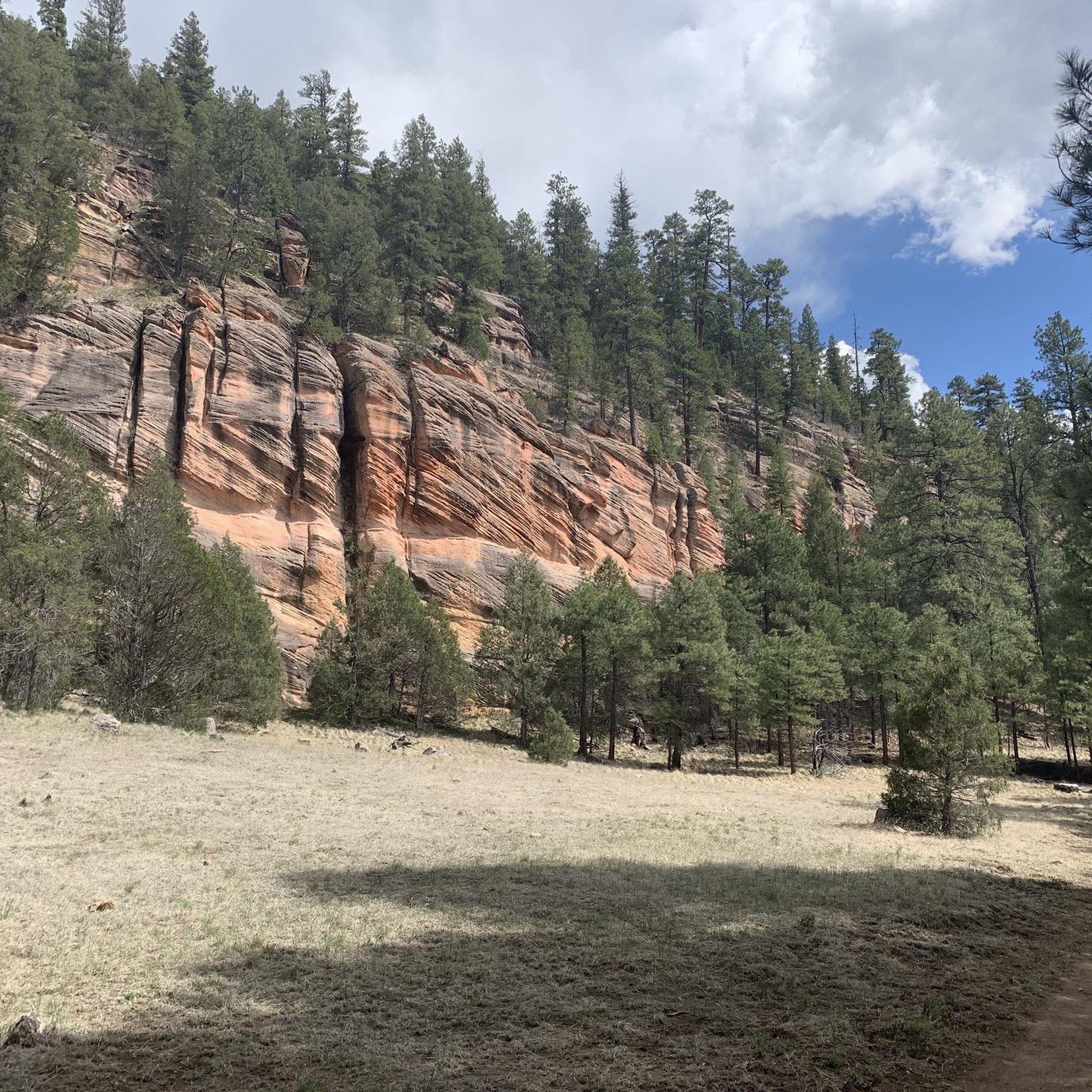
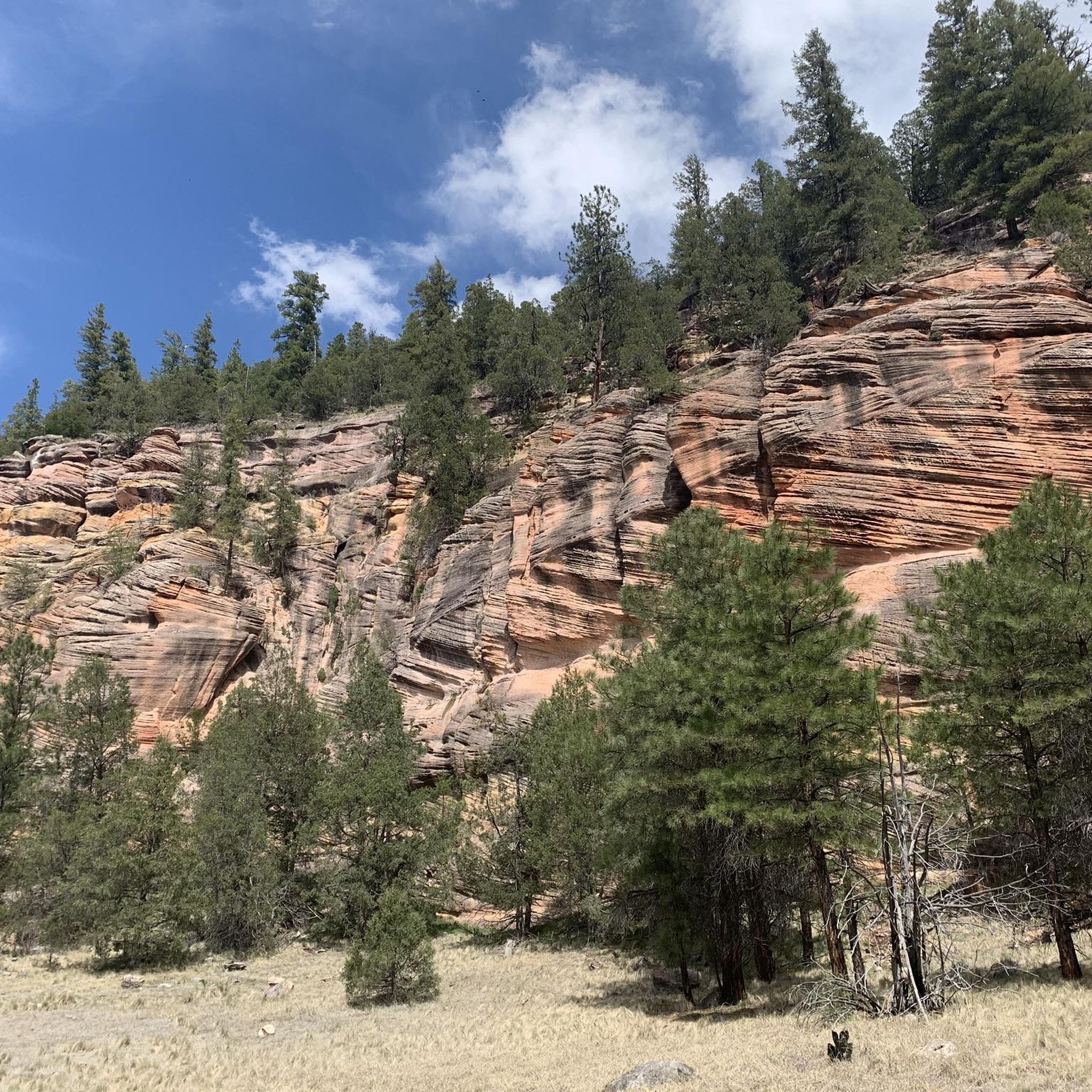
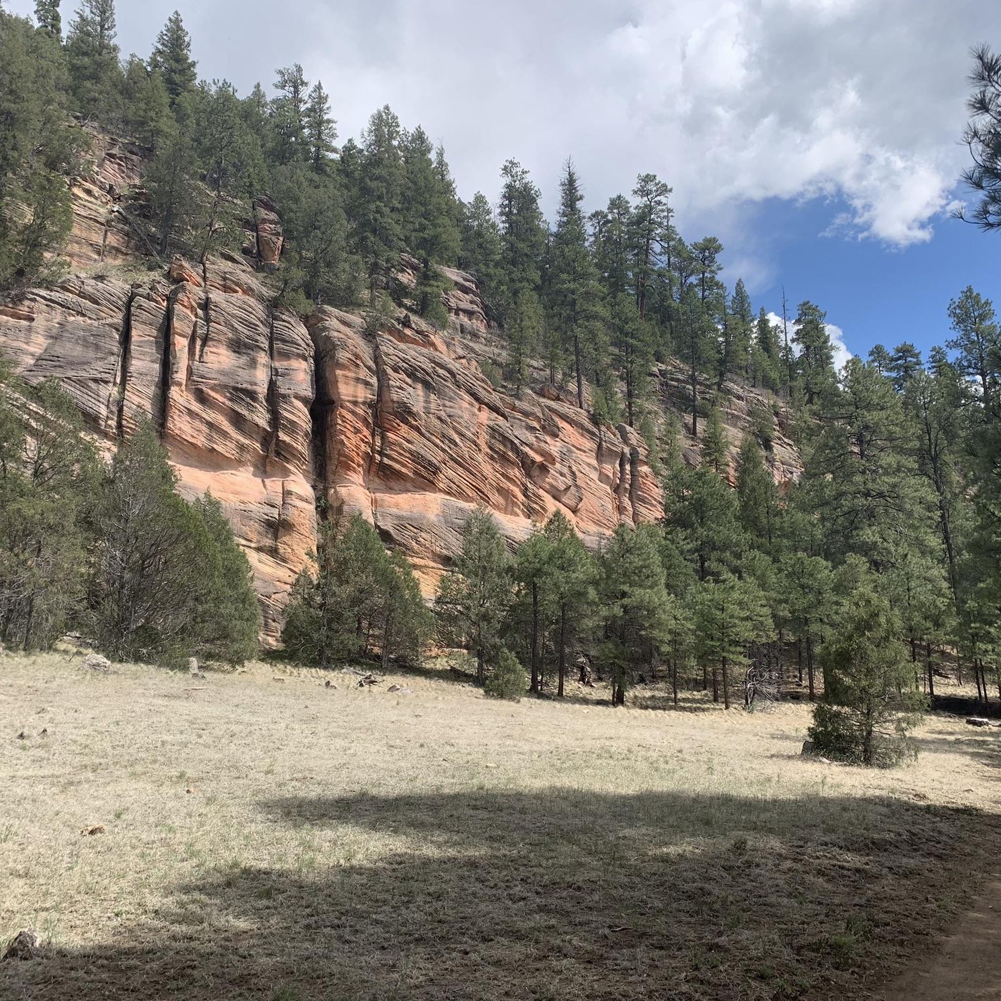
This trail, named after a local settler named Charles Sterling, is a steep climb from the get-go. It offers views of diverse red rock geology and winds through a conifer forest with ponderosa pines and dwarf canyon maples. Overlooks are plentiful and you will be wanting to take ample breaks as you enjoy them.
0
0
Fisher Point is a rocky overlook just off of the Arizona Trail outside of Flagstaff. At 7,708 feet, it offers views of Walnut Canyon towards Walnut Canyon National Monument and of Flagstaff and the Elden Peaks in front of the San Francisco Peaks.
0
0

The perfect place to strengthen yourself and to review the experiences of the day with a wonderful view.
2
0

At this point, the Arizona Trail splits. The Urban Trail leads you directly to downtown Flagstaff to replenish supplies, stay in a hostel or motel, and visit one of the many breweries. The original trail is about 19 miles longer, now called the Equestrian Bypass, and goes northeast around Flagstaff and to Walnut Canyon Monument. This section completely bypasses the city of Flagstaff.
6
2
Although the Americans certainly do not know the word Bofe, this cave is best known just a bit off the Arizona Trail.
8
0
Frequently Asked Questions
Where exactly is Mountainaire?
Mountainaire is a community located in northern Arizona, nestled within the Coconino National Forest just south of Flagstaff. Its position in the high country, at about 7,000 feet, makes it a great starting point for exploring the region's ponderosa pine forests and volcanic landscapes.
What is the best time of year to hike in Mountainaire?
Thanks to its high elevation, Mountainaire offers a cool escape from the desert heat for most of the year. While hiking is pleasant from spring through fall, autumn is particularly special. During this season, the aspen groves on the nearby San Francisco Peaks turn a brilliant gold, creating stunning scenery for your hikes.
Are there any easy, family-friendly hikes available?
Yes, there are several options suitable for families and those looking for a gentle walk. The Marshall Lake via Arizona Trail is a great choice, offering an easy 2.9-mile (4.7 km) walk through a pine forest. Other accessible options in the area include the Kachina Wetlands Loop, which is excellent for birding.
Are dogs allowed on the hiking trails?
Most trails within the Coconino National Forest are dog-friendly, provided your dog is on a leash. However, regulations can be stricter in designated areas like National Monuments. It's always a good practice to check the specific rules for the trail you plan to hike and to bring water for your canine companion.
What kind of scenery can I expect on the trails?
The hiking around Mountainaire is defined by its diverse landscapes. You'll primarily walk through vast ponderosa pine forests, but you'll also encounter deep canyons like Walnut Canyon, remnants of the area's volcanic past, and sections of the statewide Arizona Trail. The San Francisco Peaks dominate the skyline to the north, offering dramatic views from many trails.
Are there any hikes that lead to great viewpoints?
Definitely. For a rewarding view over Walnut Canyon, the Fisher Point via Sandys Canyon Trail is a popular moderate hike that leads directly to the scenic Fisher Point overlook. The trail itself is a beautiful journey through the Coconino National Forest.
I'm looking for a longer, more challenging day hike. Any suggestions?
For a more substantial hike, consider the Fisher Point Trail. At 8.3 miles (13.4 km), this moderate route offers a longer journey through the forest to the same stunning overlook area, giving you more time to immerse yourself in the landscape.
Are there any circular or loop trails?
Yes, the area has some great loop options that bring you back to your starting point without retracing your steps. One such route is the Skunk Canyon to Fisher Point hike, which combines different canyon trails into a satisfying loop.
Can I explore Walnut Canyon on a hike?
Yes, Walnut Canyon is a key feature of the region. The Sandys Canyon Trail to Walnut Canyon is a moderate 4.6-mile (7.5 km) hike that takes you through Sandys Canyon and into the Walnut Canyon area, showcasing the healthy ponderosa pine forest.
Are there any caves or unique geological features to see?
The region's volcanic history has created some fascinating geology. While the immediate trails focus on forests and canyons, a short drive will bring you to the Lava River Cave. This highly-regarded local spot is a mile-long underground lava tube that you can explore, though you'll need to bring your own headlamps and sturdy shoes.
What do other hikers say about the trails around Mountainaire?
The trails in this area are well-regarded by the komoot community. Reviewers often praise the beauty of the ponderosa pine forests and the well-maintained paths. The variety of trails, from easy walks to more moderate canyon hikes, means there is something for every skill level to enjoy.
How can I get to the trailheads? Is public transport an option?
The trailheads around Mountainaire are best accessed by car, as they are spread throughout the Coconino National Forest. Public transportation options are limited to non-existent for reaching most trail starting points. Ensure you have reliable transport and check road conditions, as some access roads may be unpaved.
Most popular attractions around Mountainaire

Get inspired with the komoot mobile app


Explore more
Browse the best Hikes in other regions.
