The best cycling routes around Drexel Heights
4.6
(49)
681
riders
47
rides
Touring cycling routes around Drexel Heights traverse the Sonoran Desert landscape, characterized by expansive desert views and the iconic saguaro cacti. The region features a network of multi-use trails, including segments of the Chuck Huckelberry Loop and various greenways. Terrain primarily consists of paved paths, with some routes incorporating inclines and descents through areas like Gates Pass.
Best touring cycling routes around Drexel Heights
- The most popular touring cycling route is Gates Pass and The Loop, a 41.2 miles…
Last updated: October 13, 2026
4.7
(3)
12
riders
66.4km
04:28
670m
670m
Experience a challenging 41.2-mile touring cycling route through Saguaro National Park, combining steep desert climbs and smooth, car-free p
8
riders
11.8km
01:05
60m
60m
Easy bike ride. Great for any fitness level. Mostly paved surfaces. Suitable for all skill levels.

10
riders
Easy bike ride. Great for any fitness level. Mostly paved surfaces. Suitable for all skill levels.
5.0
(1)
8
riders
Moderate bike ride. Good fitness required. Mostly paved surfaces. Suitable for all skill levels.
4
riders
16.4km
00:58
60m
60m
Easy bike ride. Great for any fitness level. Mostly paved surfaces. Suitable for all skill levels.
Get access to more routes and recommendations from other explorers.
Already have an account?
Our route recommendations are based on thousands of hikes, rides, and runs completed by other people on komoot.
Start today with a free account
Your next adventure awaits.
Tips from the Community

A great cycle path that is made up of several sections and is over 100 miles long in total.
1
0


The Juan Bautista de Anza Trail passes through three states and two countries as it follows the historic route of Spanish colonizers from Mexico to what is now San Francisco. This particular spot in the trail is close to Sentinel Peak Park (yes, you can bike up the road to the peak). The trail also parallels the Santa Cruz River for a stretch.
2
0

Also known as the Rillito River bike path, The Loop has been named the top biking path in America. The trail follows parallel to the Santa Cruz River and is a phenomenal way to reach Saguaro National Park from Tucson!
2
0

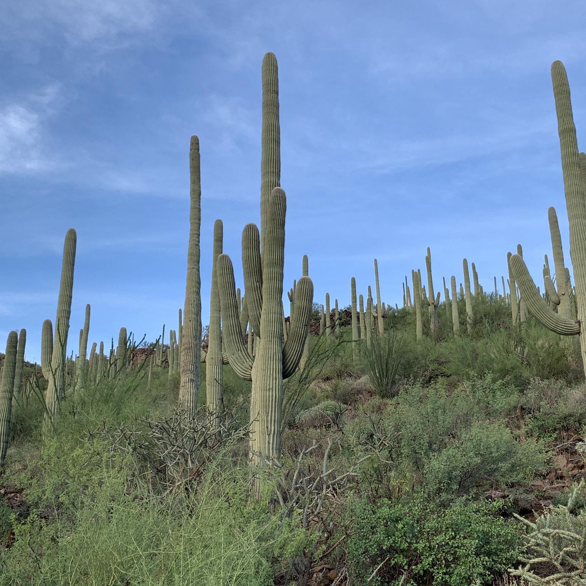
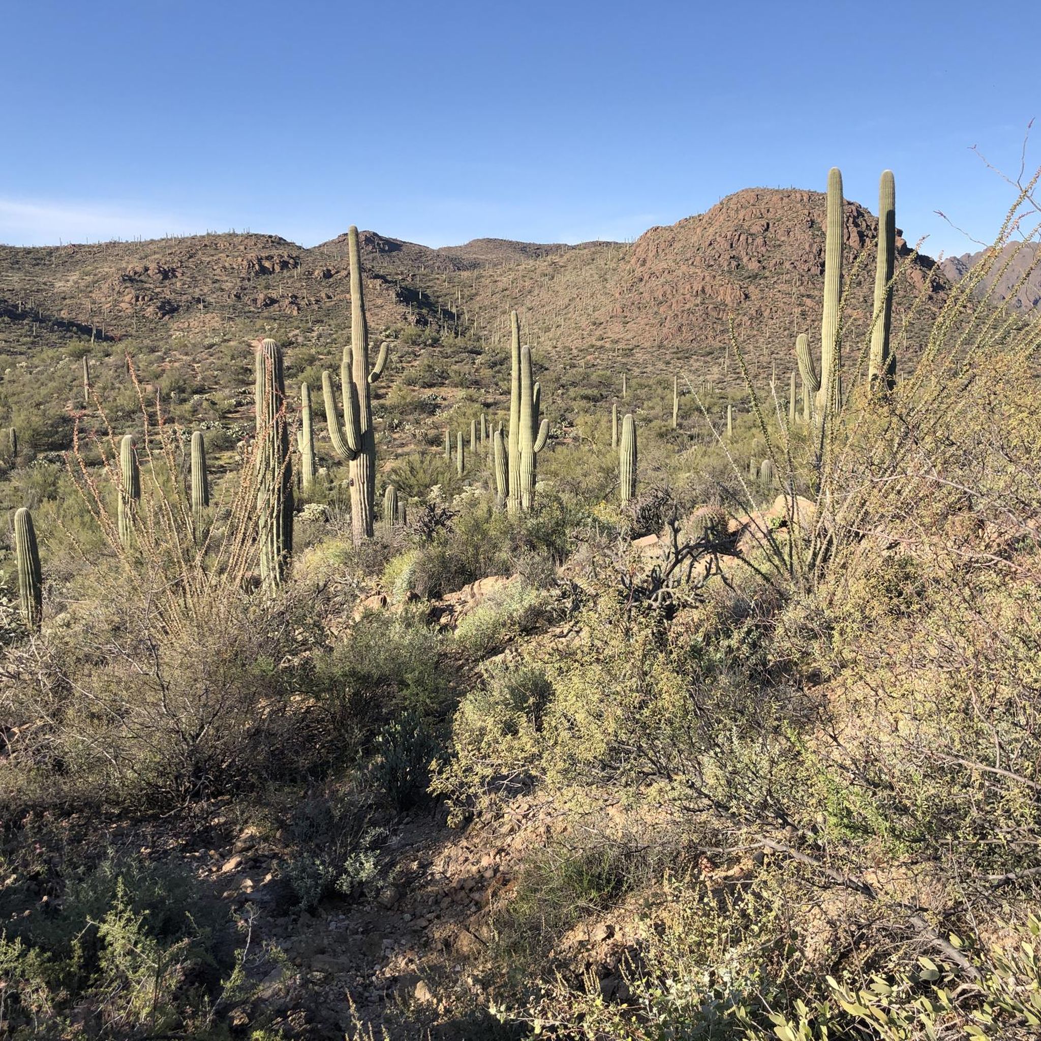
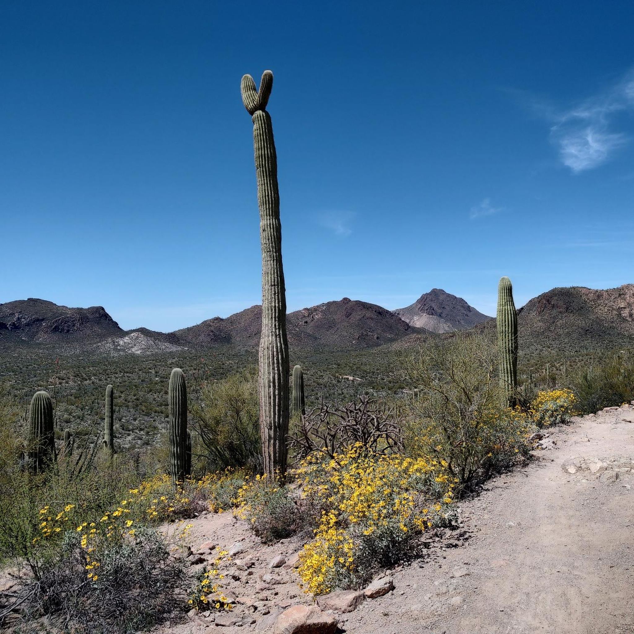
Saguaro National Park is home to the largest collection of giant saguaro cacti in the world. From the summit of Mica Mountain at 8,669 feet to the desert floor one can see a vegetation change usually only experienced on a drive from Mexico to Canada. Backcountry camping along the Arizona Trails is only allowed with a permit for Grass Shack Campground or Manning Camp. There are also some other nice official campsites in Saguaro National Park. Permits are available at: https://www.recreation.gov/camping/campgrounds/10028678
0
0
One of Arizona's most popular cycling roads, Gates Pass will not disappoint! The climb and descent are incredibly scenic, offering views of the Tucson area's unique landscape and access to the Desert Museum. Be extra careful of cars and motorcycles during high season as the road can be narrow at times.
2
0

The Mary Henderson Desert Center is a planned educational and recreational facility. It aims to serve as a gateway to the surrounding desert landscape, offering opportunities for learning, exploration, and appreciation of the unique natural environment.
0
0

Tacos, coffee, donuts a bike shop and more-- many rides start or end at the San Augustin Mercado. There is a nice courtyard and plenty of space. A local favorite is to ride up nearby "A" Mountain for sunset.
0
0
Frequently Asked Questions
What kind of terrain can I expect on touring cycling routes around Drexel Heights?
The touring cycling routes around Drexel Heights primarily feature paved paths, often part of the extensive Chuck Huckelberry Loop and various greenways. While many sections are relatively flat, you can also find routes with inclines and descents, particularly through areas like Gates Pass, offering a more dynamic ride.
Are there any family-friendly touring cycling routes in Drexel Heights?
Yes, Drexel Heights offers several family-friendly options. Routes like the Juan Bautista de Anza Trail – Presidio Inn loop from Airport Wash Greenway are rated as easy and follow multi-use greenways, providing a relatively flat and enjoyable ride through desert scenery suitable for various skill levels.
Can I bring my dog on the touring cycling trails?
Many multi-use trails in the Drexel Heights area, including segments of The Loop and greenways like the Julian Wash Greenway, are generally dog-friendly. However, it's always recommended to keep your dog on a leash and check specific trail regulations or park rules before heading out. Be mindful of the desert heat, especially during warmer months, and ensure your dog has access to water.
What are the best times of year for touring cycling in Drexel Heights?
The best time to visit for touring cycling in Drexel Heights is typically during the cooler months, from fall through spring (roughly October to April). During these periods, temperatures are more moderate, making for more comfortable rides. Summers can be extremely hot, so early morning or late evening rides are advisable if cycling during those months.
Are there any circular touring cycling routes available?
Yes, many routes in the Drexel Heights area are designed as loops, offering a convenient way to explore without retracing your steps. For example, the Garden of Gethsemane Park – Juan Bautista de Anza Trail loop from Tucson is a popular circular route that takes you through the Juan Bautista de Anza Trail network.
Where can I find parking for touring cycling routes near Drexel Heights?
Numerous parks and designated trailheads throughout the Drexel Heights area and its proximity to Tucson provide convenient access points with parking. For instance, the Yetman Trail Trailhead and the Gates Pass Trailhead - Sonoran Desert Vista are known access points. Many segments of the Chuck Huckelberry Loop also have parking areas.
What natural features or landmarks can I see along the touring cycling routes?
The routes offer stunning Sonoran Desert landscapes, characterized by abundant saguaro cacti, which are a hallmark of the region. You'll also encounter mountain views and can explore areas like the Julian Wash Greenway, which showcases the natural beauty and local wildlife. Gates Pass provides scenic views and serves as a trailhead for various paths.
How many touring cycling routes are available in Drexel Heights?
There are over 45 touring cycling routes around Drexel Heights listed on komoot, offering a wide variety of options for different skill levels and preferences. These routes have been explored by more than 700 touring cyclists.
Are there any easy touring cycling routes for beginners?
Absolutely. A significant portion of the routes in Drexel Heights are rated as easy, making them ideal for beginners or those looking for a relaxed ride. An example is the Juan Bautista de Anza Trail loop from Mission Harbor, which offers a relatively flat and accessible experience.
What do other touring cyclists enjoy most about cycling in Drexel Heights?
The area is highly rated by the komoot community, with an average score of 4.5 stars from over 50 reviews. Cyclists often praise the stunning Sonoran Desert landscapes, the iconic saguaro cacti, and the well-maintained, car-free sections of the Chuck Huckelberry Loop, which provide a safe and scenic environment for rides.
Are there any challenging touring cycling routes in Drexel Heights?
Yes, for those seeking a more challenging ride, routes like Gates Pass and The Loop are rated as difficult. This route includes significant elevation changes, particularly around Gates Pass, providing a rewarding workout with spectacular views.
Can I access touring cycling routes via public transport in Drexel Heights?
Yes, Tucson's public transportation system, Sun Tran, offers a 'Bike and Ride' program, allowing cyclists to transport their bikes on buses. This can be a convenient way to access various trailheads and segments of the Chuck Huckelberry Loop near Drexel Heights, expanding your cycling options without needing a car for the entire journey.
Are there any permits or special regulations for cycling on trails in Pima County?
Generally, most multi-use paths and greenways in Pima County, including those around Drexel Heights, do not require special permits for recreational cycling. However, if your route takes you into specific areas like Saguaro National Park, there might be entrance fees or specific regulations. It's always a good idea to check the official Pima County or park websites for the most current information regarding any specific trail rules or requirements.
Most popular attractions around Drexel Heights

Get inspired with the komoot mobile app


Explore more
Browse the best Cycling routes in other regions.
