The best road cycling routes around Guadalupe
4.4
(40)
1,654
riders
81
rides
Road cycling routes around Guadalupe traverse a landscape characterized by varied terrain, from flatter areas to more challenging ascents. The region features a mix of urban and natural environments, including canal paths and routes through foothills. Elevation changes are present, offering diverse experiences for road cyclists.
Best road cycling routes around Guadalupe
- The most popular road cycling route is Buena Vista Lookout & Mount Suappoa loop, a 29.0 miles (46.6 km) trail that takes 2 hours 19 minutes to…
Last updated: July 10, 2026
4.6
(7)
80
riders
50.1km
02:08
370m
370m
Cycle the moderate 31.2-mile Ahwatukee Foothills loop in Phoenix, offering desert vistas and a dedicated shared-use path.
5.0
(2)
62
riders
Moderate road ride. Great for any fitness level. Some segments of this route may be unpaved and difficult to ride.

Sign up for free
24
riders
36.0km
01:32
260m
260m
Easy road ride. Great for any fitness level. Mostly well-paved surfaces and easy to ride.
43
riders
Moderate road ride. Great for any fitness level. Some segments of this route may be unpaved and difficult to ride.
11
riders
22.5km
01:08
20m
20m
Easy road ride. Great for any fitness level. Mostly well-paved surfaces and easy to ride.
Get access to more routes and recommendations from other explorers.
Sign up for free
Already have an account?
Our route recommendations are based on thousands of hikes, rides, and runs completed by other people on komoot.
Start today with a free account
Your next adventure awaits.
Login or Signup
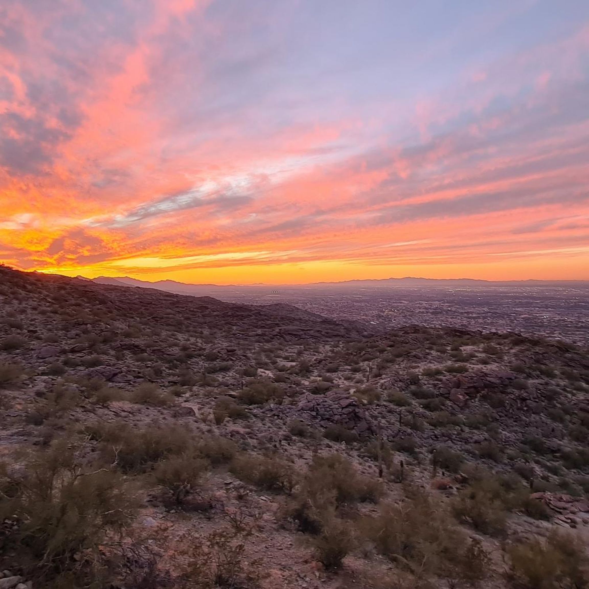
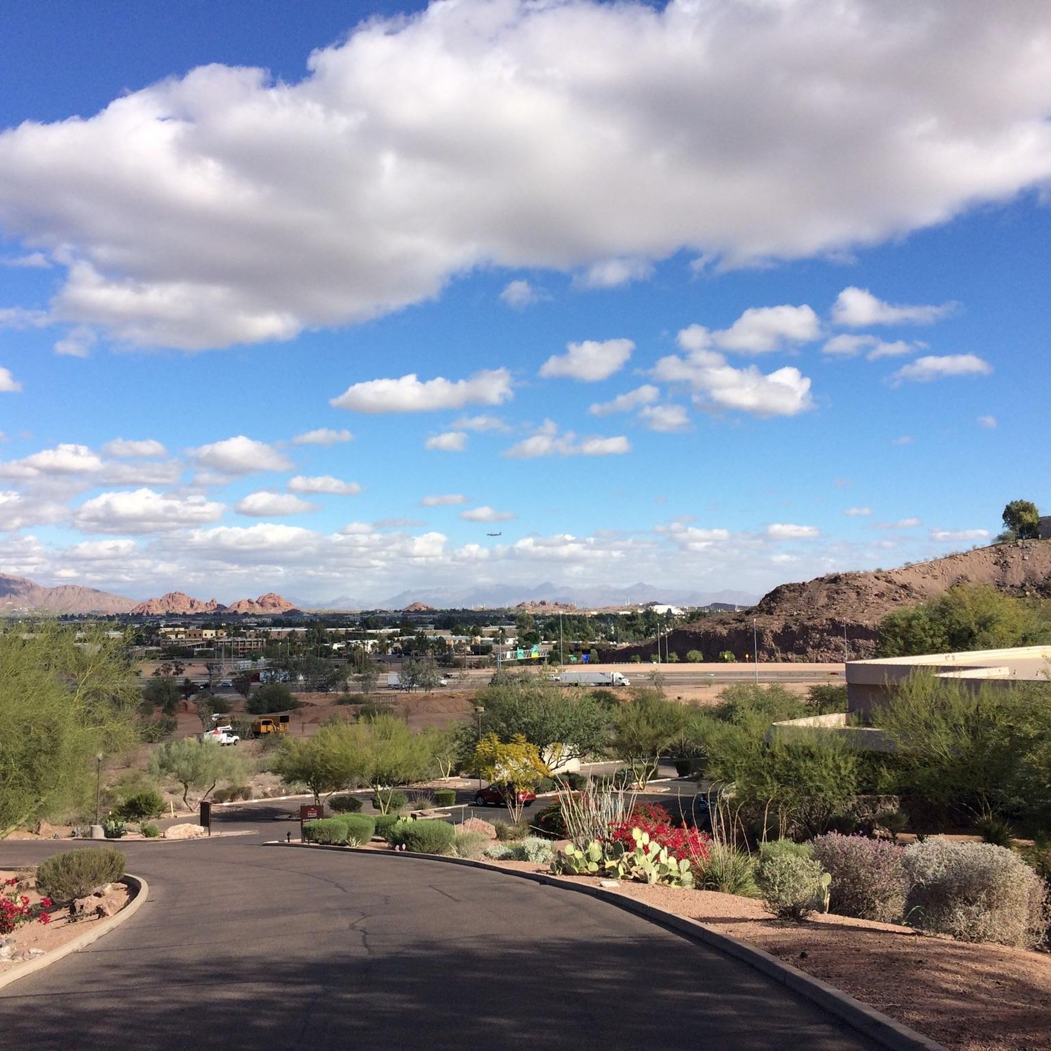
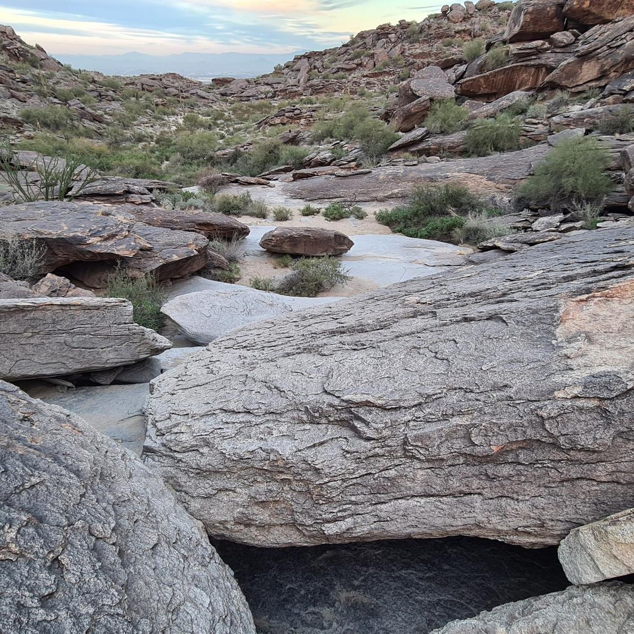
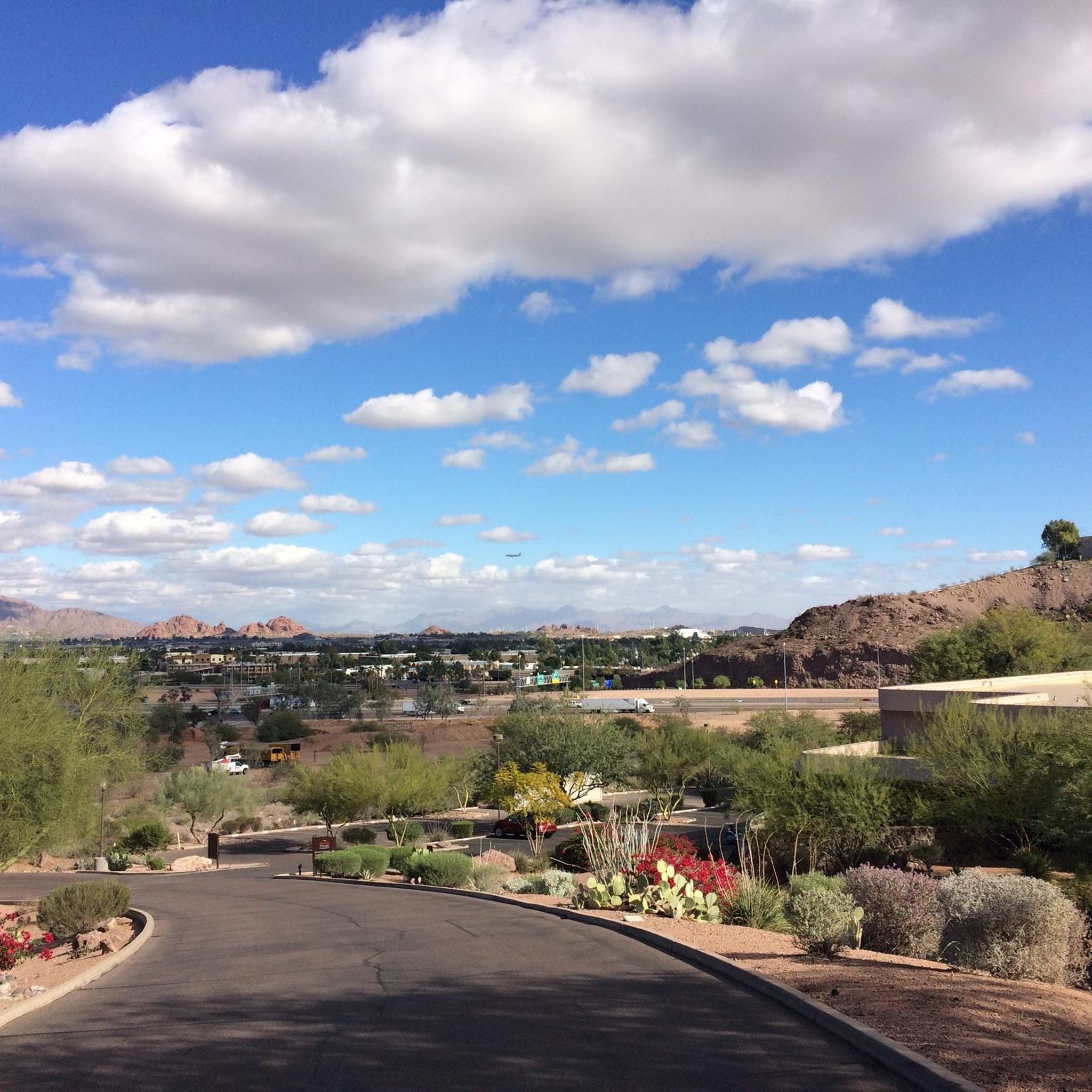
Tips from the Community

McQueen Park is a great urban spot with ample parking, restrooms, vending machines, water fountains, picnic tables, and shaded pavilions, making it a highly popular trailhead. It's a fantastic place to take a break during a ride, especially on a hot day.
0
0

The Elmore Pedestrian Bridge is the most popular way of crossing Tempe Town Lake via foot. This is located at the western end of the lake next to the dam and isn't near any roads, which is a nice change of pace from a lot of the other pedestrian bridges in the area.
0
0

This wide underpass provides a nice bit of shade on hot days.
0
0

This paved trail runs more than 10 miles total along both sides of the Rio Salado, or Salt River, which extends west into Tempe Town Lake.
0
0

Generally quiet and a lovely way to avoid the roads.
0
0
Perfect for cruising along in and out of the city.
0
0

The Elmore Pedestrian Bridge is the most popular way of crossing Tempe Town Lake via foot. This is located at the western end of the lake next to the dam and isn't near any roads, which is a nice change of pace from a lot of the other pedestrian bridges in the area.
0
0
Frequently Asked Questions
How many road cycling routes are available in Guadalupe?
Guadalupe offers a wide selection of road cycling routes, with over 80 options available. These routes cater to various skill levels, from easy rides to more challenging ascents.
Are there road cycling routes suitable for beginners in Guadalupe?
Yes, Guadalupe has numerous routes perfect for beginners. There are over 30 easy road cycling routes, many of which feature flatter sections and canal paths, providing a gentle introduction to the area's cycling. For example, the Sun Circle Trail Canal Bike Path – Pavilion at McQueen Park loop offers a pleasant ride through urban and park areas.
What about more challenging road cycling routes for advanced riders?
For advanced cyclists seeking a challenge, Guadalupe provides routes with significant elevation gain and longer distances. While there are a few difficult routes, many moderate options like the Buena Vista Lookout & Mount Suappoa loop offer substantial climbs and panoramic views, testing even experienced riders.
Are there any loop road cycling routes around Guadalupe?
Yes, many of the road cycling routes in Guadalupe are designed as loops, allowing you to start and finish at the same point. Popular loop options include the Ahwatukee Foothills loop, which navigates through scenic terrain, and the Tempe Town Lake – Elmore Pedestrian Bridge loop, offering urban and waterside views.
What kind of scenery can I expect on road cycling routes in Guadalupe?
Road cycling in Guadalupe offers a diverse range of scenery. You'll encounter urban green spaces, picturesque canal paths, and routes winding through foothills. Expect a mix of natural and developed landscapes, with some routes providing views of landmarks like Papago Park Red Rock Formations and Tempe Town Lake.
Are there any family-friendly road cycling options in Guadalupe?
Many of Guadalupe's easier routes, particularly those along canal paths and through urban parks, are suitable for families. These flatter sections provide a safe and enjoyable environment for cyclists of all ages. Consider routes that pass through areas like Tempe Beach Park for accessible and scenic rides.
Where can I find parking for road cycling routes in Guadalupe?
Parking availability varies by trailhead and route starting point. Many urban routes, especially those near parks or public facilities, often have designated parking areas. For routes like the West Shaughnessey Road – Pima Canyon Trailhead loop, you can typically find parking near the Pima Canyon Trailhead or other access points.
Can I access road cycling routes in Guadalupe using public transport?
Access to road cycling routes via public transport in Guadalupe is possible, especially for routes within or near urban centers like Tempe. Many public transport systems offer bike-friendly options, allowing you to reach various starting points. It's advisable to check local public transport schedules and bike policies for specific routes.
What do other cyclists say about road cycling in Guadalupe?
The road cycling experience in Guadalupe is highly regarded by the komoot community, with an impressive average rating of 4.7 stars from over 20 reviews. Cyclists frequently praise the well-maintained roads, the variety of terrain, and the scenic stretches that offer a mix of urban and natural beauty.
Are there any natural attractions or landmarks to see along the routes?
Absolutely! Road cycling routes in Guadalupe often pass by notable natural attractions and landmarks. You can cycle past the distinctive Papago Park Red Rock Formations, enjoy views of Tempe Town Lake, or explore the trails within Papago Park. Some routes also offer glimpses of unique geological features like Fat Man's Pass.
What is the best season for road cycling in Guadalupe?
Guadalupe's climate generally makes it suitable for road cycling for much of the year. The cooler months, typically from fall through spring, offer the most comfortable temperatures for longer rides. Summer can be quite hot, so early morning or late afternoon rides are recommended during that season.
Are there routes that combine urban and natural environments?
Yes, Guadalupe's road cycling network is known for its blend of urban and natural settings. Routes often transition from city streets and canal paths to more open areas with views of foothills and parks. The Sun Circle Trail Canal Bike Path is a prime example, offering a ride through both developed and green spaces.
Most popular routes around Guadalupe
Most popular attractions around Guadalupe

Get inspired with the komoot mobile app


Explore more
Browse the best Road cycling routes in other regions.
