The best cycling routes around Avondale
43
riders
12
rides
Touring cycling around Avondale, Arizona, features diverse landscapes in the west valley of metro Phoenix. The region is characterized by a desert-mountain backdrop, with the Gila River and the convergence of the Agua Fria, Salt, and Gila Rivers creating distinct riparian habitats. A developing network of paved multi-use paths and unpaved trails connects various natural areas, including the Tres Rios Wetlands and Crystal Gardens Wetland Trails. These routes provide opportunities to explore the unique desert flora.
Best touring cycling routes around Avondale
- The most popular touring cycling route is Golf Club of Estrella loop, a 11.6 miles (18.7 km) trail that takes 1 hour 7 minutes to complete. This easy route offers scenic views through the Goodyear area.
- Another top favourite among local touring cyclists is Bullard Wash Park & Roosevelt Canal loop, an easy 7.8 miles (12.5 km) path. This route provides views of local parks and canal paths.
- Local touring cyclists also love the Bike loop from Estrella, a 8.7 miles (13.9 km) trail leading through the Estrella area, often completed in about 1 hour 16 minutes.
- Touring cycling around Avondale is defined by desert landscapes, riparian habitats, and a growing network of multi-use paths. The network offers options for different ability levels.
- The routes in Avondale are highly rated by the komoot community with an average score of 5.0 stars from over 1 review. More than 50 touring cyclists have used komoot to explore Avondale's varied terrain.
Last updated: June 27, 2026
1
riders
18.7km
01:08
70m
70m
The Golf Club of Estrella loop offers a smooth, paved cycling experience through the picturesque Arizona desert, with the majestic Estrella Mountains always in view. You'll glide past the calm waters of North Lake, enjoying the blend of natural beauty and well-maintained paths. It's an easy 11.6-mile (18.7 km) touring bicycle route, with a minimal 240 feet (73 metres) of elevation gain, making it a truly relaxing ride that takes about 1 hour and 7 minutes.
Accessing this family-friendly cycling route is simple, as the starting point is conveniently located next to a parking lot. Since you'll be cycling in the desert, planning your ride for the cooler morning or late afternoon hours, especially during warmer months, will make for a much more comfortable experience. This route is ideal for beginners or anyone seeking a gentle, scenic outing.
The Estrella community is known for its extensive network of paths and trails, and this loop is a prime example of the accessible cycling routes available. Beyond the Golf Club of Estrella bike tour landmarks, the area boasts 72 acres of lakes and over 65 miles of trails, all set against a dramatic desert landscape. It's a great way to explore the natural features of Goodyear, Arizona, and enjoy the outdoors.
12.5km
00:42
10m
10m
The Bullard Wash Park & Roosevelt Canal loop offers a unique touring cycling experience, blending the smooth concrete paths alongside the Roosevelt Canal with the more adventurous, unpaved sections of Bullard Wash Park. You'll navigate through varied terrain, from the functional beauty of the canal to the distinctive Sonoran Desert flora and the green open spaces of the park. This 7.8-mile (12.5 km) route, with a minimal 36 feet (11 metres) of elevation gain, is rated easy and typically takes around 41 minutes to complete, making it a great option for a quick, diverse ride.
While largely easy, be aware that some unpaved sections within Bullard Wash Park can feature deep sand, rock gardens, and small ledges, which might be challenging for standard touring bikes. Cyclists with gravel or mountain bikes will find these parts more comfortable, though beginners can stick to the paved canal path. The park itself provides amenities like playgrounds and fitness stations, making it a convenient starting point for your adventure.
This loop is part of a broader network, with future plans to connect it further south to Estrella Mountain Regional Park, promising even more trail access. After your ride, consider a visit to the Saddle Mountain Brewing Company, a highly-rated local pub, for a refreshing end to your outing. The blend of urban parkland and desert scenery makes this a notable option among Bullard Wash Park cycling trails.

Sign up for free
17
riders
32.2km
01:50
60m
60m
Easy bike ride. Great for any fitness level. Mostly paved surfaces. Suitable for all skill levels.
10
riders
13.9km
01:16
130m
130m
Easy bike ride. Great for any fitness level. Mostly paved surfaces. Suitable for all skill levels.
6
riders
10.8km
01:04
130m
130m
Easy bike ride. Great for any fitness level. Mostly paved surfaces. Suitable for all skill levels.
Get access to more routes and recommendations from other explorers.
Sign up for free
Already have an account?
Our route recommendations are based on thousands of hikes, rides, and runs completed by other people on komoot.
Start today with a free account
Your next adventure awaits.
Login or Signup
Tips from the Community

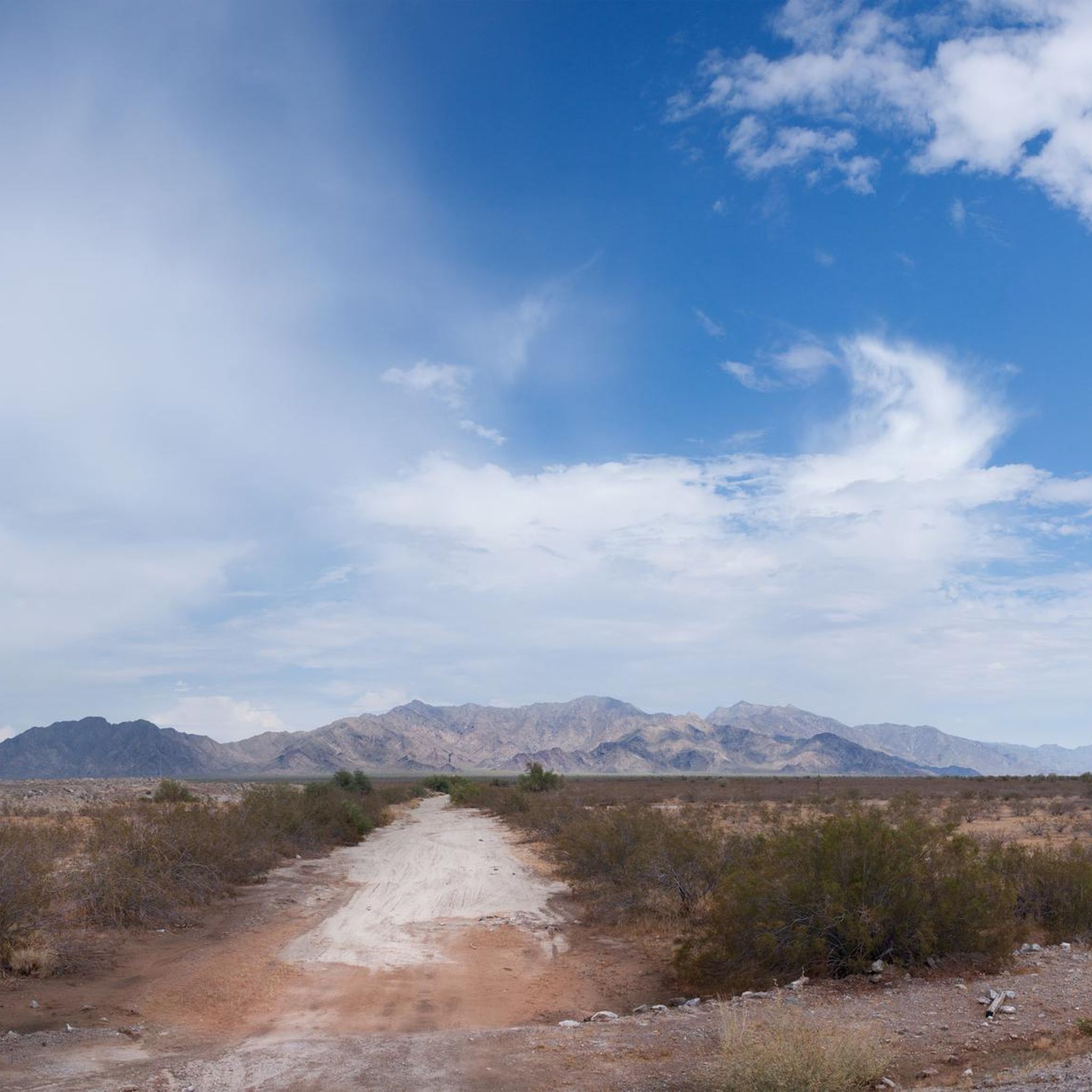
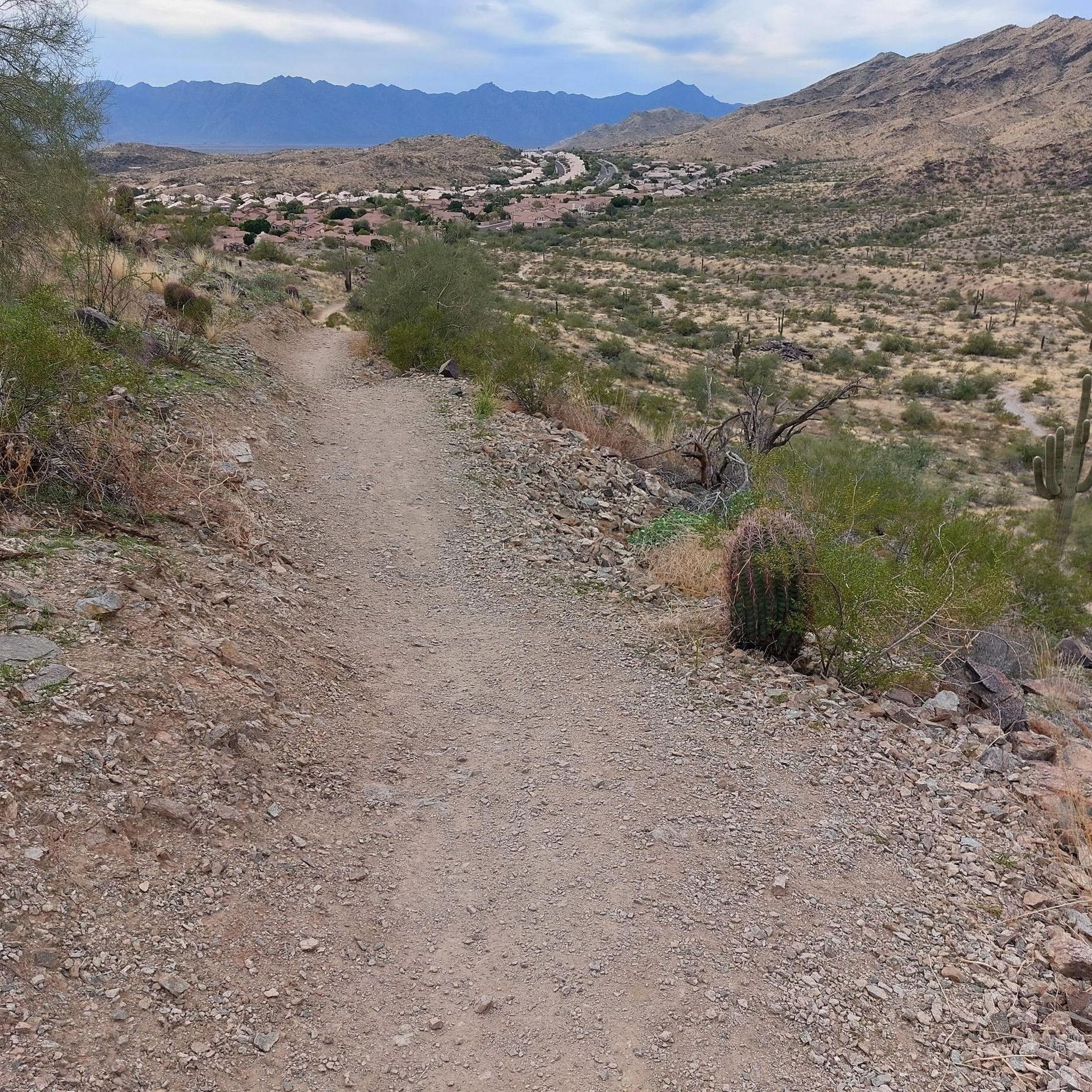
The Estrella Mountains can be seen from much of the surrounding area, here could be a good chance, getting farther away from the urban area, to stop, snap a photo and take it all in. To gaze at the desert landscape and her colors.
0
0
Foothills Community Park Pump Track is part of a large recreation area with baseball courts, shaded areas, restrooms, and water fill ups. Take a break here and watch mountain bikers have a go at the Pump Track, or (with the right bike) try your hand at a lap
1
0
The North Lake (and its sister body of water, the South Lake, just to the west), are part of the Estrella Mountain Lake Parks. The man-made bodies of water have a paved walking and biking trail on the perimeters and are a great place to ride in the cooler hours of the day!
0
0
Stop into the Saddle Mountain Brewing Company for a refuel with food or a drink. This eatery was voted the best brewery in the West Valley. Check out the calendar here and plan to drop in for some live music if you prefer: https://www.facebook.com/SaddleMountainBrewingCompany/events/
0
0
Roosevelt Canal or the Roosevelt Irrigation District Canal is one of many canals that run through Phoenix, this dry city, and brings it to life, quite literally. This canal like many others has a cycling path next to it for bikers, walkers and runners to enjoy.
0
0

Rio Vista is a great park with plenty of places to play & relax. If you're feeling particularly hot you could cool down in the splash park, or get some shade and lunch in a picnic area. If you're on a family ride you can stop at the playground or try your luck in the fishing pond.
0
0

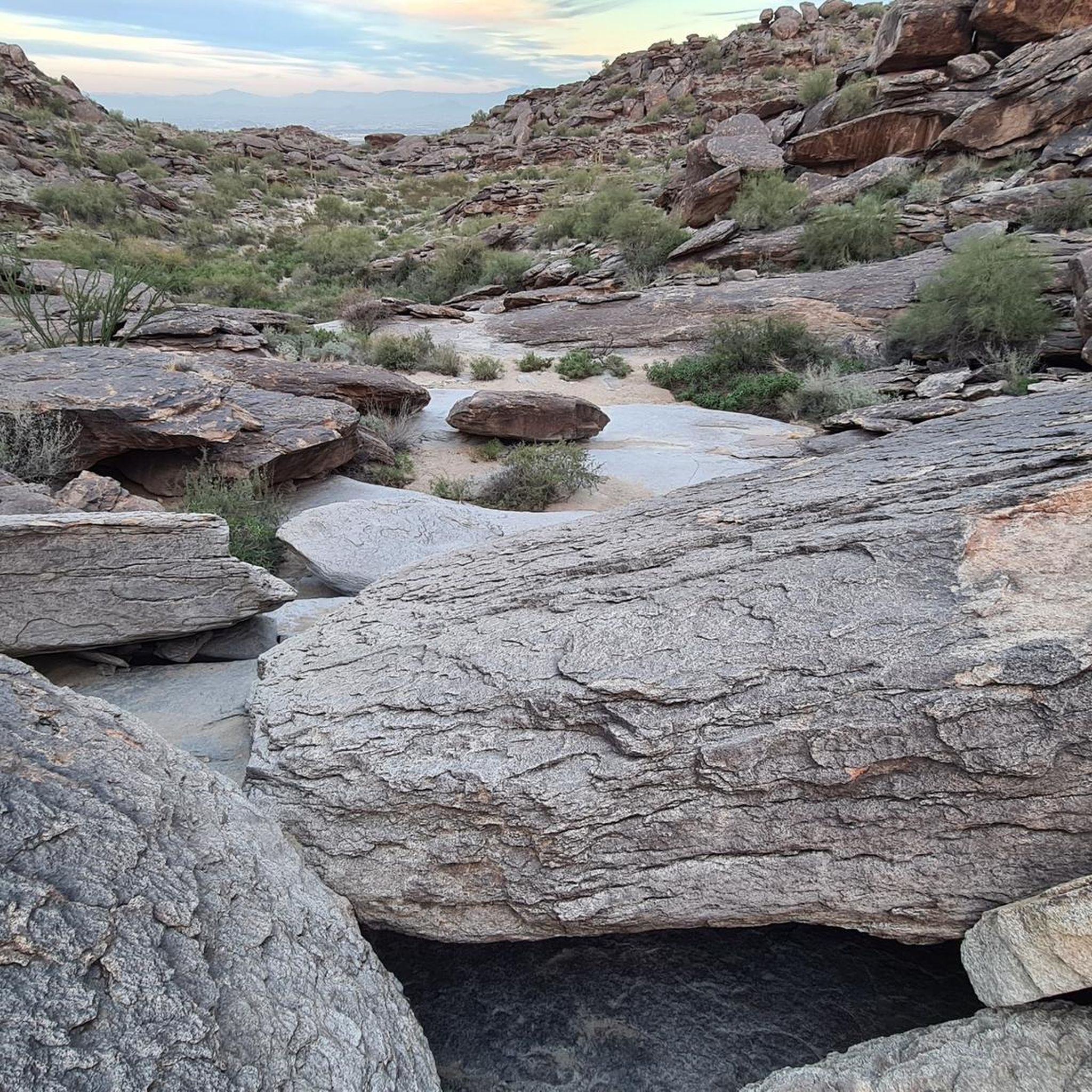
Rainbow Valley Trail is one of many trails in Estrella Mountain Regional Park. The trail follows the foothills of the uprising while gaining and losing elevation throughout.
0
0
Frequently Asked Questions
How many touring cycling routes are available in Avondale?
There are over 10 touring cycling routes around Avondale, offering a variety of experiences for different skill levels. You'll find options ranging from easy loops to more challenging rides.
What types of landscapes can I expect on touring cycling routes in Avondale?
Touring cycling routes in Avondale feature diverse desert-mountain backdrops, with riparian habitats formed by the Gila, Agua Fria, and Salt Rivers. You can expect to see unique desert flora and wetlands, particularly around areas like the Tres Rios Wetlands and Crystal Gardens Wetland Trails.
Are there easy touring cycling routes suitable for beginners in Avondale?
Yes, Avondale offers several easy touring cycling routes. For example, the Golf Club of Estrella loop — Goodyear is an easy 11.6-mile (18.7 km) trail, and the Bullard Wash Park & Roosevelt Canal loop — Litchfield Park is another easy 7.8-mile (12.5 km) path offering scenic views of local parks and canal paths.
Are there any longer touring cycling routes in Avondale?
For a longer ride, consider the Rio Vista Community Park – State Farm Stadium - Home of the Cardinals loop from State Farm Stadium, which is an easy 31.1 km (19.3 miles) route. This trail provides an extended experience through the area.
What do other touring cyclists say about the routes in Avondale?
The touring cycling routes in Avondale are highly rated by the komoot community, with an average score of 5.0 stars. Cyclists often appreciate the varied terrain, from easy loops to moderate challenges, and the unique desert landscapes.
Are there any specific attractions or landmarks I can see along the touring cycling routes?
While cycling, you can explore various points of interest. Nearby attractions include the Rainbow Valley Trail and Toothaker Trail. You might also pass by North Lake or the Baseline Trail. For a unique stop, the Saddle Mountain Brewing Company is also in the vicinity.
Are there any routes that pass by major sports venues?
Yes, the Rio Vista Community Park – State Farm Stadium - Home of the Cardinals loop from State Farm Stadium is an easy route that takes you past the State Farm Stadium, home of the Arizona Cardinals.
Are there any parks with additional amenities near the cycling routes?
Friendship Park in Avondale offers walking trails, a community fishing pond, and a Japanese garden, providing additional outdoor attractions beyond cycling. Festival Fields Park, located along the Agua Fria River, also features fishing opportunities and walking paths.
What is the best time of year for touring cycling in Avondale?
Avondale's climate makes it ideal for cycling during the cooler months, typically from fall through spring. The annual 'Cycle Avondale' event, for instance, takes place in cooler weather, offering comfortable conditions to enjoy the scenic routes with views of the Estrella Mountains and wetlands.
Are there any paved multi-use paths for touring cyclists in Avondale?
Yes, Avondale and the surrounding region feature a developing network of paved multi-use paths. The Rio Salado Pathway, a 10-mile paved trail following the Salt River through Tempe, is a notable example that connects to other trails for extended rides, offering a blend of natural scenery and urban landscapes.
Are there any moderate difficulty routes for touring cyclists looking for a bit more challenge?
For those seeking a moderate challenge, the Bike loop from Maricopa Village is a 9.6-mile (15.5 km) route that leads through the Maricopa Village area and is rated as moderate difficulty.
Where can I find information about parking near Avondale's bike trails?
Many parks and trailheads in Avondale, such as Friendship Park and Festival Fields Park, offer designated parking areas. For specific routes, checking the komoot tour details for the starting point will often provide information on available parking.
Most popular routes around Avondale
Most popular attractions around Avondale

Get inspired with the komoot mobile app


Explore more
Browse the best Cycling routes in other regions.
