The best MTB trails around Stausee Großbrembach
4.6
(51)
101
riders
33
rides
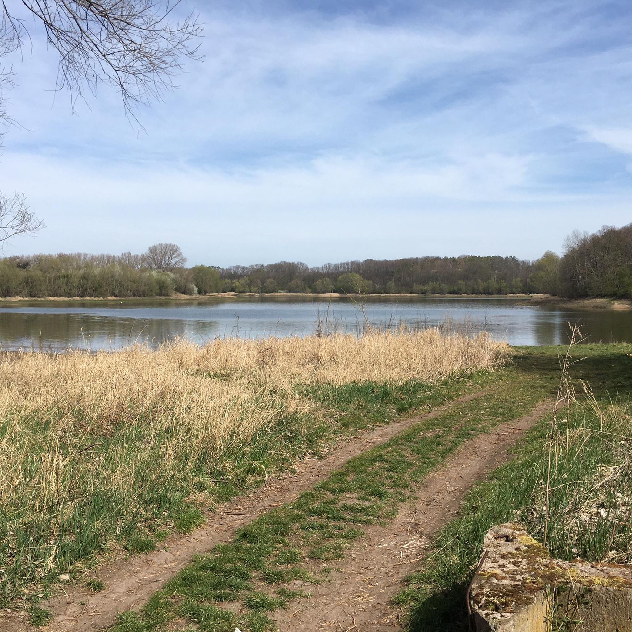
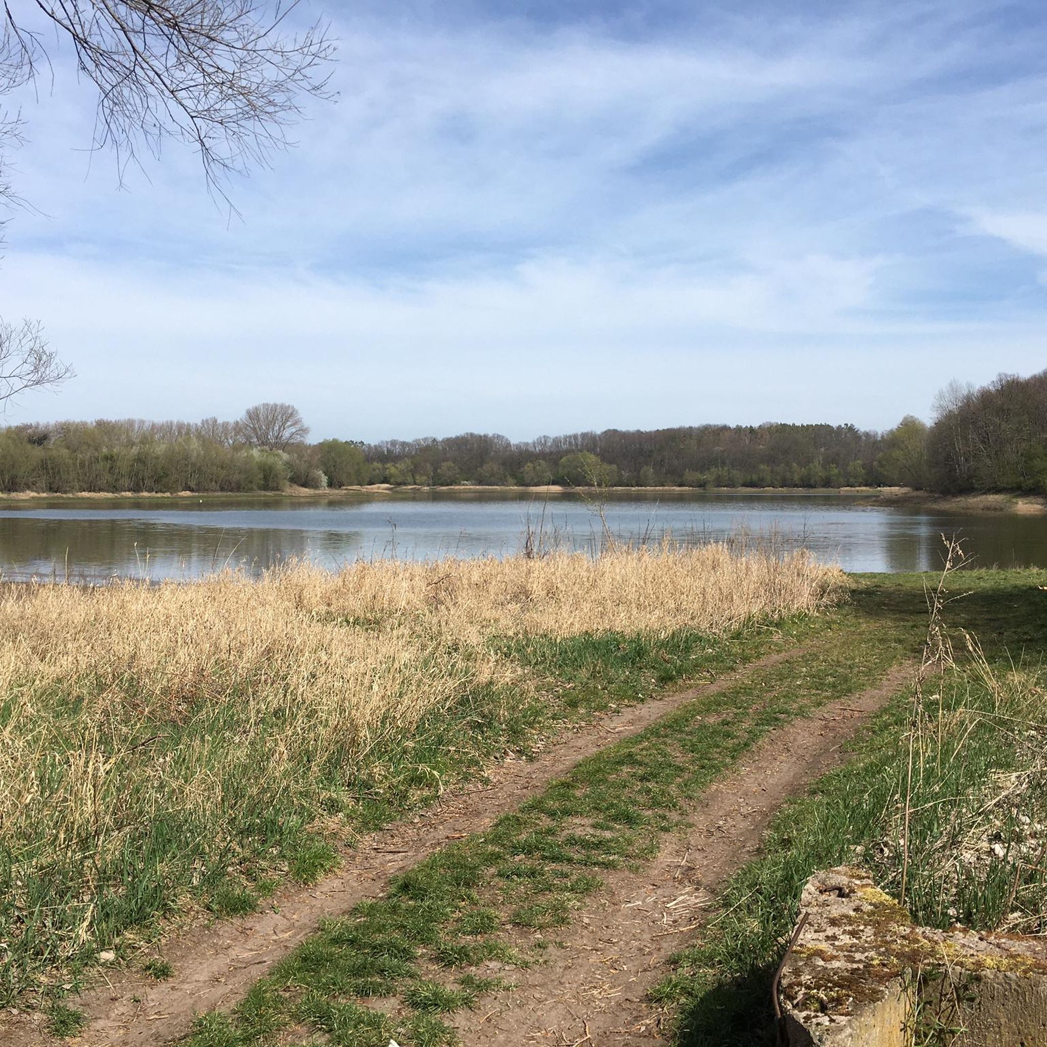
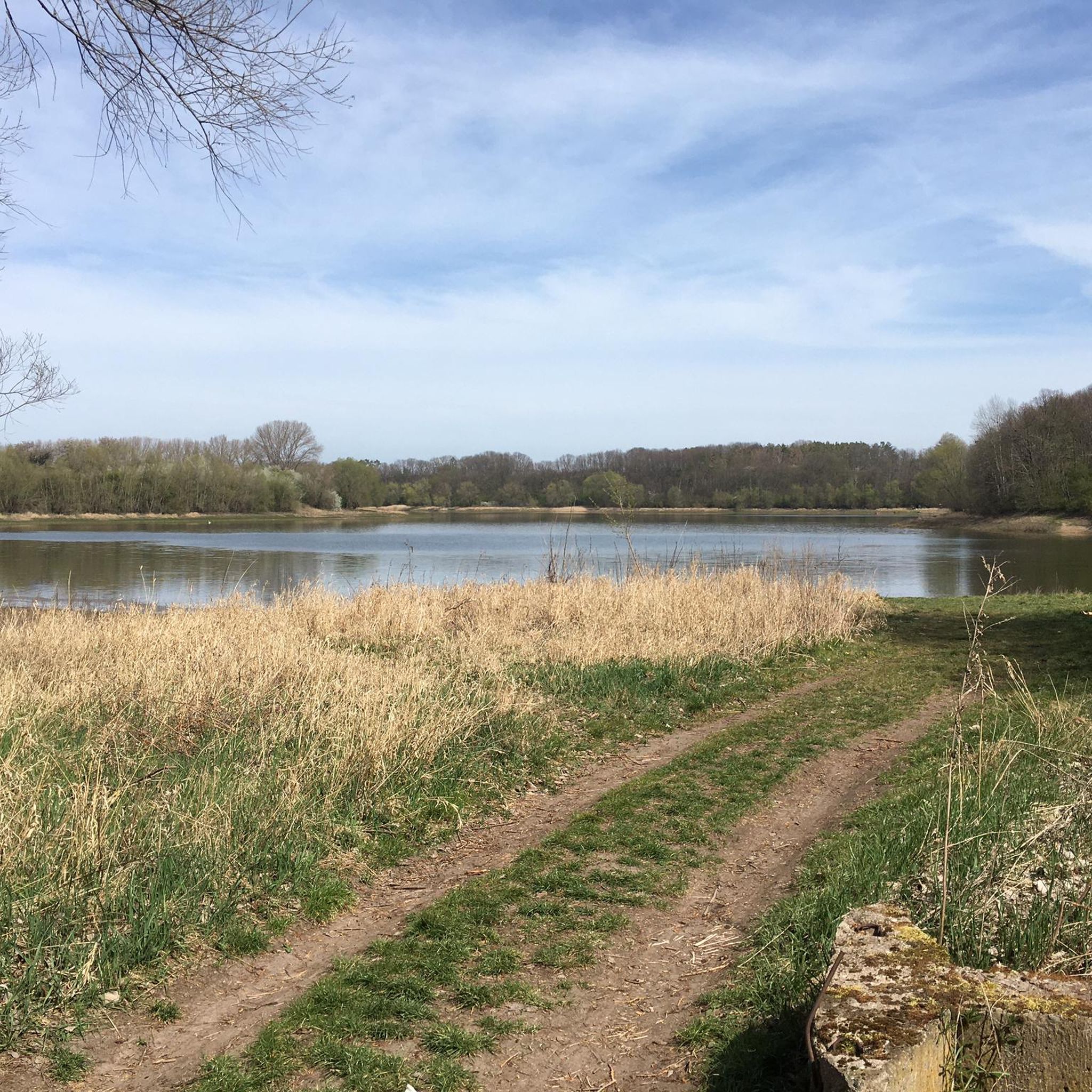
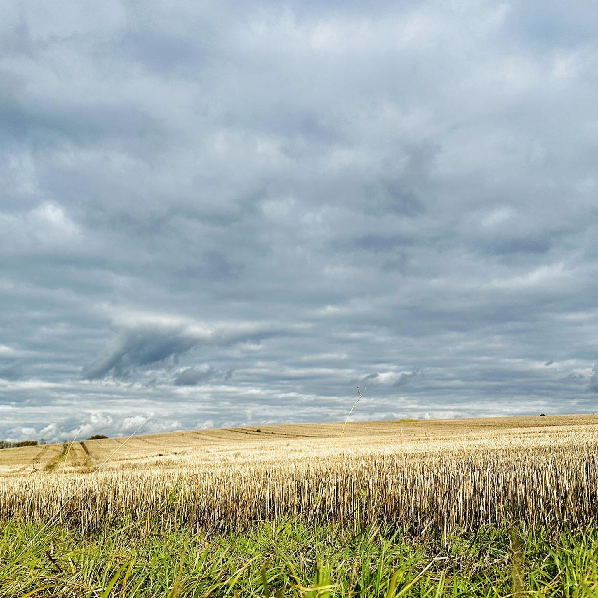
Mountain biking around Stausee Großbrembach offers diverse terrain across the agricultural plains of the Thuringian Basin and the scenic Scherkonde Valley. The region features an artificial lake, Stausee Großbrembach, which provides a tranquil backdrop to many routes. Trails range from easy paths suitable for all fitness levels to more challenging routes with varied terrain and elevation gains. This area provides a network of mountain bike trails for both beginners and experienced riders.
Best mountain bike trails around Stausee Großbrembach
- The…
Last updated: July 8, 2026
5.0
(1)
3
riders
Moderate mountain bike ride. Good fitness required. Advanced riding skills necessary.
3
riders
32.0km
02:14
310m
310m
Moderate mountain bike ride. Good fitness required. Advanced riding skills necessary.

Sign up for free
5.0
(2)
4
riders
Moderate mountain bike ride. Good fitness required. Suitable for all skill levels.
5.0
(1)
2
riders
Moderate mountain bike ride. Good fitness required. Advanced riding skills necessary.
4.5
(4)
8
riders
Moderate mountain bike ride. Good fitness required. Advanced riding skills necessary.
Get access to more routes and recommendations from other explorers.
Sign up for free
Already have an account?
Our route recommendations are based on thousands of hikes, rides, and runs completed by other people on komoot.
Start today with a free account
Your next adventure awaits.
Login or Signup
Tips from the Community

And exactly 500 years later there was a flood here again. 2 days after the monument was inaugurated.
0
0

It's always nice when a monument reminds you of the old times.
0
0

Buchenwald Concentration Camp, officially KL Buchenwald, was one of the largest concentration camps on German soil. It operated as a forced labor camp on the Ettersberg hill near Weimar between July 1937 and April 1945. A total of approximately 277,800 people from 50 countries were imprisoned in Buchenwald during this period.[1] The death toll is estimated at around 56,000, including 15,000 Soviet citizens, 7,000 Poles, 6,000 Hungarians, and 3,000 French citizens.[2] As the 3rd US Army approached on April 11, 1945, the prisoners took control of the camp from the retreating SS, arrested 125 of the guards, opened the gates, and raised a white flag.
7
0
If you are here, you should also stop at the memorial.
2
0

Not the top 1 stamping location, but it can be easily incorporated into a tour around Rastenberg.
6
0

You simply have to be here ;-)
0
0
Collecting stamps is a bit addictive ;-)
4
0

Duke Wilhelm Ernst of Saxe-Weimar, who enjoyed hunting in the Ettersberg forests, had the hunting lodge built between 1706 and 1712. In 1999, a trail cut through the park 250 years earlier was uncovered. This "trail of time" leads from the castle to the present-day memorial on the grounds of the Buchenwald concentration camp. At this point, a pleasant rest area with a view of the castle is arranged in a star shape, from which hunting trails branched off in all directions even then.
0
0
Frequently Asked Questions
What types of mountain bike trails can I find around Stausee Großbrembach?
The Stausee Großbrembach area offers a diverse range of mountain bike trails, from easy paths suitable for all fitness levels to more challenging routes. You'll find paths across the agricultural plains of the Thuringian Basin and through the scenic Scherkonde Valley, with varying terrain and elevation gains.
Are there mountain bike trails suitable for beginners or families with children?
Yes, the region includes several easy mountain bike routes that are suitable for beginners and families. These paths are generally accessible and require less fitness, allowing everyone to enjoy the tranquil natural setting around Stausee Großbrembach.
What is the overall difficulty level of mountain biking in this region?
The mountain bike trails around Stausee Großbrembach cater to a wide range of skill levels. Out of nearly 40 routes, you'll find 6 easy trails, 30 moderate trails, and 1 difficult trail. Moderate routes require good fitness and may include varied paths, while difficult routes demand very good fitness and sure-footedness.
What are some notable natural features or landmarks to look out for while mountain biking?
The centerpiece of the region is the artificial Stausee Großbrembach itself, offering idyllic tranquility. The surrounding Scherkonde Valley features picturesque landscapes, including steep, sunny northern slopes where rare steppe plants can be found. Many routes also offer magnificent views over the Thuringian Basin.
Are there any circular mountain bike routes available?
Yes, many of the mountain bike routes around Stausee Großbrembach are designed as loops. For example, the Memorial Path Concentration Camp Railway Route – Gasthaus Zur Linde loop from Krautheim is a popular moderate circular trail covering 21.5 miles (34.5 km).
What is the best time of year to go mountain biking around Stausee Großbrembach?
The region is generally enjoyable for mountain biking during most seasons. Spring and autumn offer pleasant temperatures and vibrant scenery. While winter riding is possible, be mindful of weather conditions as some paths may become muddy or icy, especially on varied terrain.
Can I bring my dog on the mountain bike trails?
Many trails in natural areas like Stausee Großbrembach are dog-friendly, but it's always recommended to keep your dog on a leash, especially in areas with wildlife or near agricultural land. Ensure your dog is fit enough for the chosen route's distance and terrain.
Where can I park my car when visiting the mountain bike trails?
Parking is generally available near trailheads and popular starting points around Stausee Großbrembach and the surrounding villages. Specific parking information can often be found on individual route pages on komoot or local signage.
Are there any routes that offer particularly good views?
Absolutely. The View of Weimar – View of Schloss Ettersburg loop from Krautheim is a moderate route specifically known for offering views over the Thuringian Basin. The elevated points in the Scherkonde Valley also provide scenic vistas.
What do other mountain bikers say about the trails in Stausee Großbrembach?
The mountain bike routes in Stausee Großbrembach are highly rated by the komoot community, with an average score of 4.6 stars from over 40 reviews. Riders often praise the varied terrain and the tranquil natural landscape surrounding the lake.
Are there longer mountain bike routes for experienced riders?
Yes, for experienced riders looking for longer distances, routes like the Rastenberg Town Hall – Liebfrauenkirche Rastenberg loop from Guthmannshausen cover nearly 29 miles (46.2 km) and lead through agricultural plains and near local landmarks, offering a good challenge.
What kind of terrain can I expect on the mountain bike trails?
You can expect a mix of terrain, from easily accessible paths around the lake to more varied sections with elevation changes in the Scherkonde Valley and across the agricultural plains of the Thuringian Basin. Some harder routes may include sections where pushing your bike is necessary.
Most popular routes around Stausee Großbrembach

Get inspired with the komoot mobile app


Explore more
Browse the best MTB trails in other regions.
