The best walks and hikes around Aumatalsperre
4.6
(3734)
12,416
hikers
435
hikes
Hiking trails around Aumatalsperre are primarily centered on the Auma Reservoir, located near the town of Weida. The region is characterized by its reservoir, surrounding woodlands, and designated nature reserve areas. The landscape offers varied terrain suitable for different hiking abilities, including paths directly around the water body.
Best hiking trails around Aumatalsperre
- The most popular hiking route is Auma Reservoir – Auma River loop from Schömberg, a 2.8 miles (4.6 km) trail that takes 1 hour 19 minutes…
Last updated: June 25, 2026
4.6
(61)
203
hikers
4.58km
01:19
120m
120m
Easy hike. Great for any fitness level. Easily-accessible paths. Suitable for all skill levels.
4.8
(33)
94
hikers
7.22km
02:00
130m
130m
Moderate hike. Good fitness required. Easily-accessible paths. Suitable for all skill levels.

Sign up for free
4.7
(72)
246
hikers
11.5km
03:11
200m
200m
Moderate hike. Good fitness required. Easily-accessible paths. Suitable for all skill levels.
4.7
(3)
16
hikers
2.65km
00:43
40m
40m
Easy hike. Great for any fitness level. Easily-accessible paths. Suitable for all skill levels.
5.0
(1)
8
hikers
12.9km
03:37
250m
250m
Moderate hike. Good fitness required. Easily-accessible paths. Suitable for all skill levels.
Get access to more routes and recommendations from other explorers.
Sign up for free
Already have an account?
Our route recommendations are based on thousands of hikes, rides, and runs completed by other people on komoot.
Start today with a free account
Your next adventure awaits.
Login or Signup

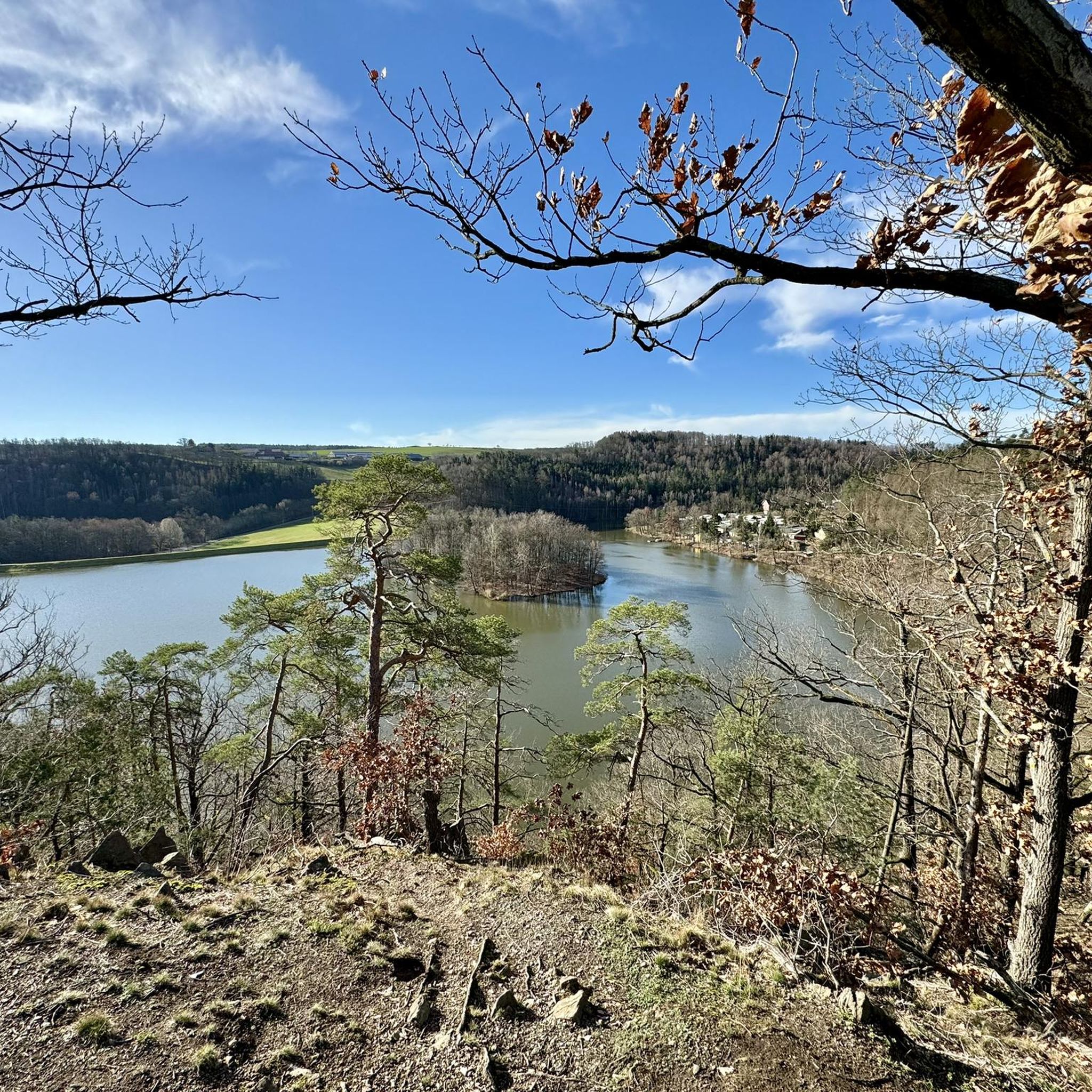
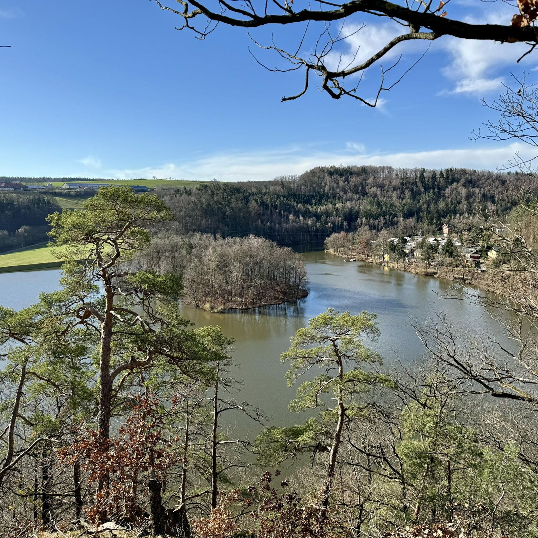
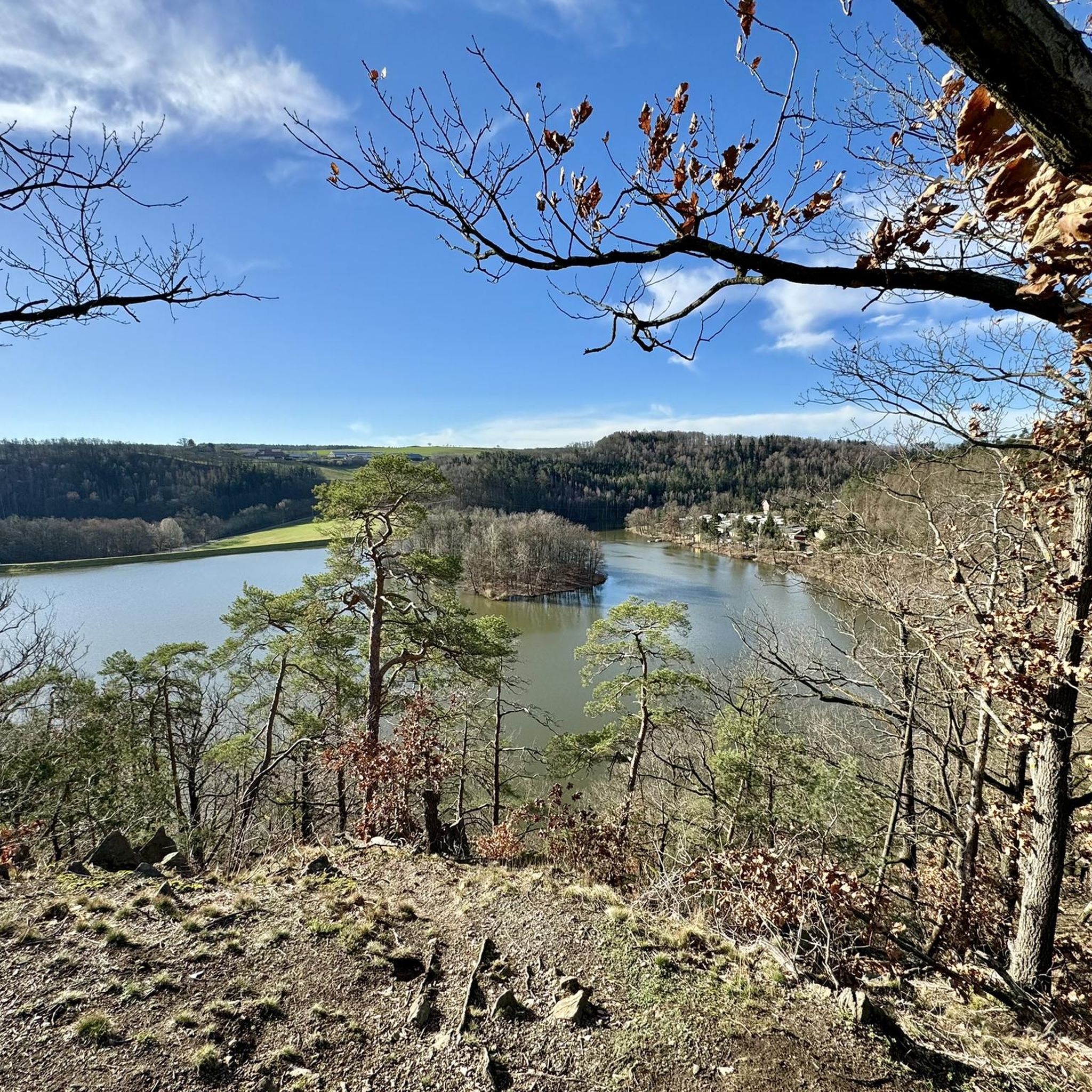
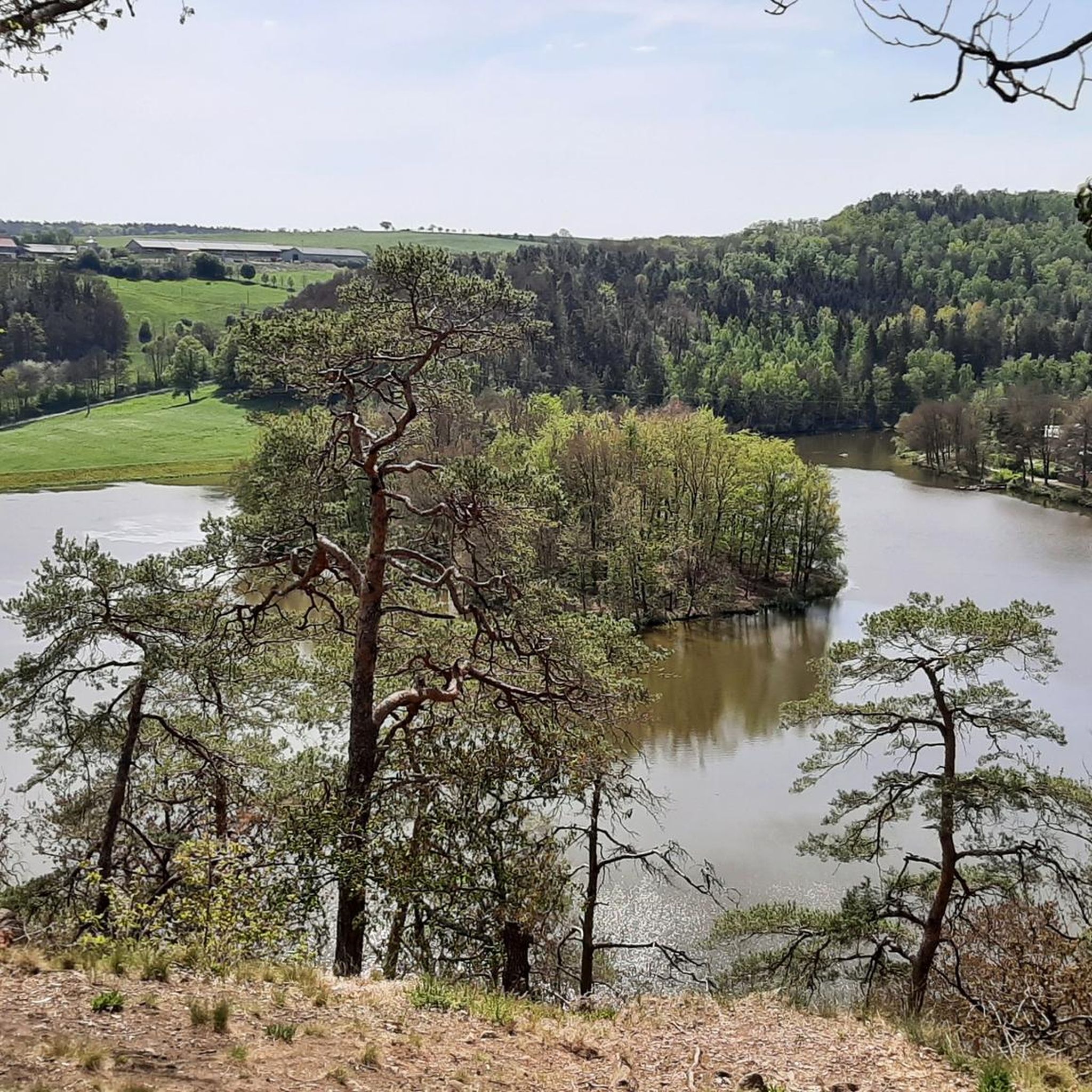
Other adventures around Aumatalsperre

Tips from the Community

Beautiful idyllic little loop around the reservoir.
0
0

Wonderful view of Weida
2
0
Hiking car park, unfortunately without information about the iron hammer
0
0
Good view of the campsite
0
0

An ideal shortcut. 👍 Warning: Access to the bridge is via 5 steps, meaning you'll have to carry your bike up and down the bridge, and of course, back down again.
0
0
Ideal starting point for the Aumatalsperre
1
0

Great path for walking too.
15
0
Beautiful old round arch bridge.
17
0
Frequently Asked Questions
What kind of hiking trails can I expect around Aumatalsperre?
The Aumatalsperre region offers a diverse network of nearly 450 hiking trails. You'll find paths ranging from easy strolls around the reservoir to more challenging routes through river valleys and forested areas. The landscape is characterized by the Auma Reservoir itself, surrounding woodlands, and designated nature reserve areas.
Are there easy hiking options suitable for beginners or casual walkers?
Yes, Aumatalsperre has plenty of easy trails. Over 230 routes are classified as easy, making them perfect for beginners or those looking for a relaxed walk. A popular easy option is the Auma Reservoir Viewpoint – Auma Reservoir loop from Weida, a short 2.6 km path offering accessible views.
Can I find circular hiking routes around Aumatalsperre?
Absolutely. Many trails around Aumatalsperre are circular, allowing you to start and end at the same point. A well-liked circular route is the Auma Reservoir – Auma River loop from Schömberg, which is 4.6 km long and offers views of both the reservoir and the Auma River.
What are some interesting places to explore or landmarks to see while hiking?
While hiking around Aumatalsperre, you can explore several points of interest. The main attraction is the Auma Reservoir itself, which is a popular spot for recreation. You might also encounter the Auma River and its surrounding natural areas. For a relaxing break, the Aumatalsperre Bathing Area and Campsite offers a nice spot to rest.
Are the hiking trails around Aumatalsperre family-friendly?
Yes, many trails are suitable for families. The region offers numerous easy and moderate routes with varied terrain, including paths directly around the water body, which are generally well-suited for families with children. Shorter loop trails are particularly popular for family outings.
Is Aumatalsperre a good place for dog-friendly hikes?
Aumatalsperre is generally welcoming for dog owners. The natural environment with its reservoir-side paths and forested areas provides ample space for walks with your dog. Always ensure your dog is on a leash where required, especially in nature reserve areas, and be mindful of other hikers and wildlife.
Where can I park my car when visiting Aumatalsperre for a hike?
Parking is available in the area. A designated spot is the Parking Area at Eisenhammer by the Aumatalsperre, which provides convenient access to the trails. It's advisable to check local signage for any specific parking regulations.
What do other hikers say about the trails in Aumatalsperre?
The hiking trails around Aumatalsperre are highly regarded by the komoot community, with an average rating of 4.6 stars from over 3,400 reviews. Hikers often praise the scenic beauty of the reservoir, the well-maintained paths, and the variety of routes available for different skill levels.
Are there any longer, more challenging hikes available?
For those seeking a longer challenge, Aumatalsperre offers moderate trails. An example is the Auma River – Auma Bridge loop from Weida, an 12.9 km route that takes approximately 3 hours 36 minutes to complete, leading through riverine landscapes and woodlands.
Can I combine hiking with other activities at Aumatalsperre?
Yes, the Aumatalsperre is a popular recreational area. Besides hiking, you can enjoy activities like swimming, rowing, pedal boating, and fishing in the reservoir. There's also a natural campsite, the Auma Dam Campsite, for overnight stays.
What is the best time of year to go hiking around Aumatalsperre?
The Aumatalsperre region is enjoyable for hiking throughout much of the year. Spring and autumn offer pleasant temperatures and beautiful natural colors, while summer is ideal for combining hikes with water activities at the reservoir. Even in winter, some trails can be explored, though conditions may vary.
Most popular routes around Aumatalsperre
Most popular attractions around Aumatalsperre

Get inspired with the komoot mobile app


Explore more
Browse the best Hikes in other regions.
