The best running trails around Dam Ratscher
4.4
(99)
685
runners
117
runs
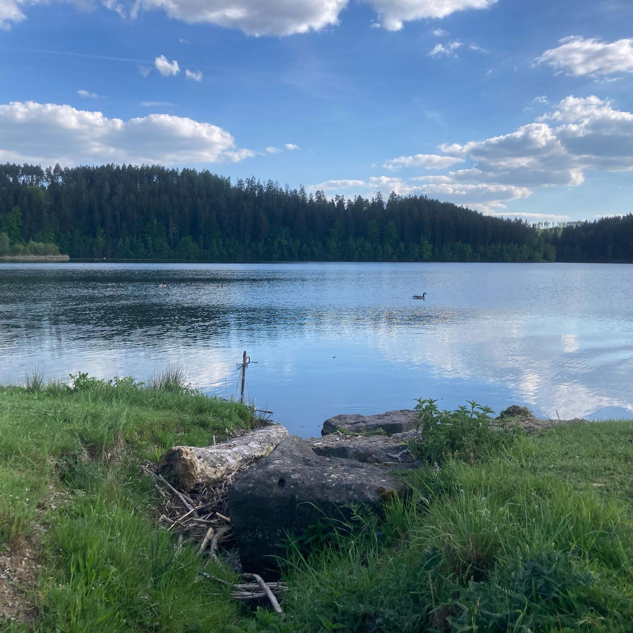
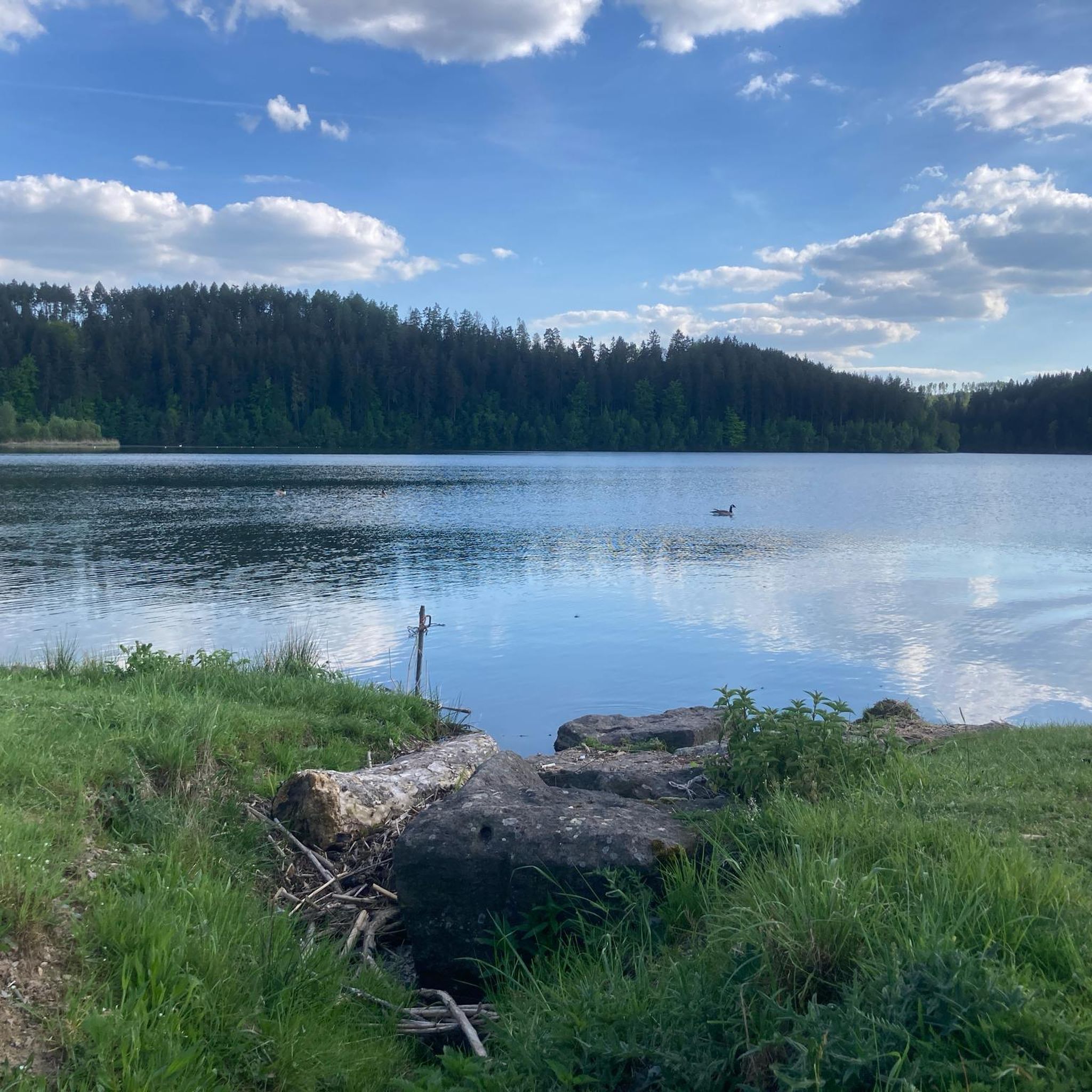
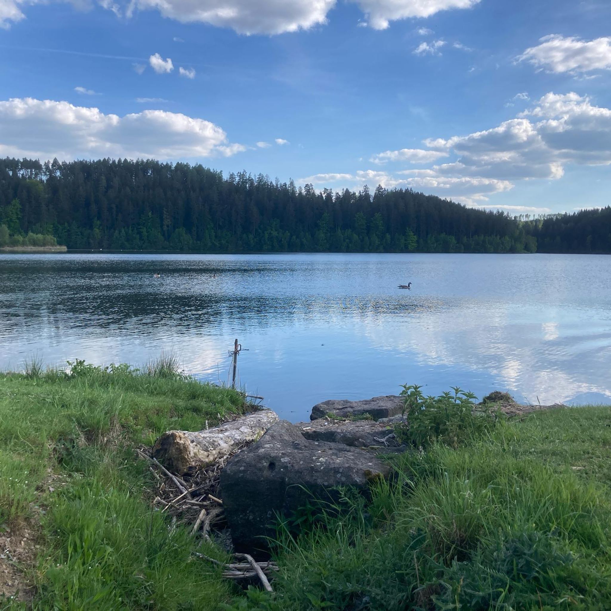
Jogging routes around Dam Ratscher offer a diverse landscape for runners, centered around the Talsperre Ratscher reservoir. The region is characterized by wooded mountains and extensive forests, providing a tranquil environment for outdoor activities. The presence of the 100-hectare Bergsee Ratscher reservoir creates a scenic backdrop for various running routes. This area features a mix of terrain suitable for different jogging preferences.
Best jogging routes around Dam Ratscher
- The most popular jogging route is Chapel Zum Einfirst loop from Schleusingen…
Last updated: October 13, 2026
4.5
(4)
22
runners
4.14km
00:27
20m
20m
Easy run. Great for any fitness level. Mostly paved surfaces. Suitable for all skill levels.
4.3
(4)
11
runners
10.6km
01:07
110m
110m
Moderate run. Good fitness required. Mostly paved surfaces. Suitable for all skill levels.

3.8
(4)
11
runners
9.43km
01:03
160m
150m
Moderate run. Good fitness required. Mostly paved surfaces. Suitable for all skill levels.
7
runners
15.8km
01:45
270m
270m
Hard run. Very good fitness required. Mostly accessible paths. Some sure footedness required.
10
runners
16.5km
01:49
190m
190m
Hard run. Very good fitness required. Mostly paved surfaces. Suitable for all skill levels.
Get access to more routes and recommendations from other explorers.
Already have an account?
Our route recommendations are based on thousands of hikes, rides, and runs completed by other people on komoot.
Start today with a free account
Your next adventure awaits.
Tips from the Community

A small bench with a shade provider offers a breather on the bike path. You can also let your gaze wander peacefully over the fields and thus recharge your batteries.
1
0

At the confluence of the Erle and the Nahe, in the midst of the medieval small town of Schleusingen, rises the mighty Bertholdsburg Castle. From the 13th century, it served the Counts of Henneberg as their ancestral seat and is the oldest residential castle in Thuringia. In the 15th and 16th centuries, the fortified castle was converted into an early modern palace in the Renaissance style. Today, the castle houses the Natural History Museum. The 40-meter-high main tower offers a picturesque view of the southern foothills of the Thuringian Forest.
15
0

Very impressive building!
3
0

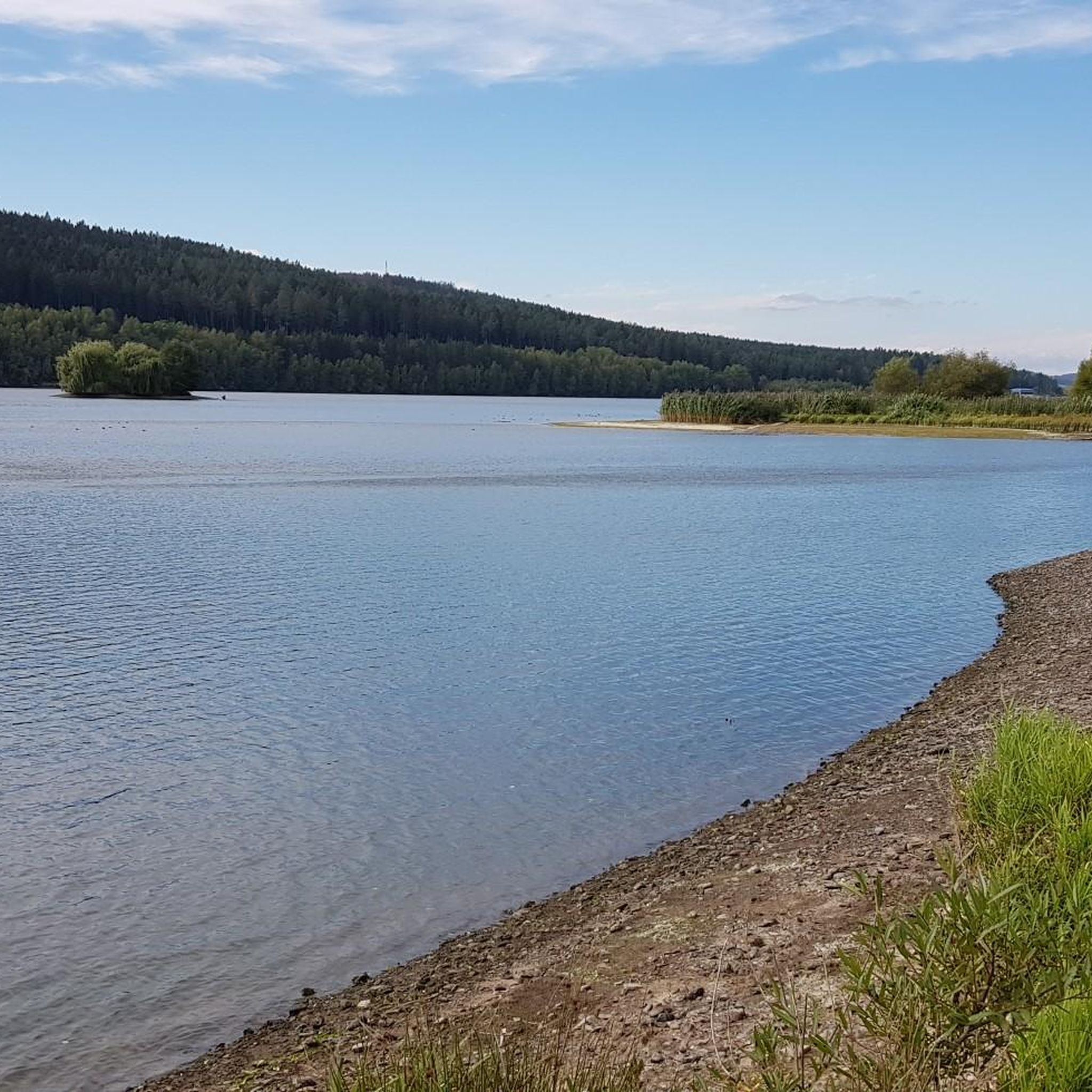
Cycle path at Ratscher See, unfortunately without water 😩
1
1

Bertholdsburg Castle is the most important secular building in southern Thuringia. The castle's origins probably date back to the 13th century.
3
0

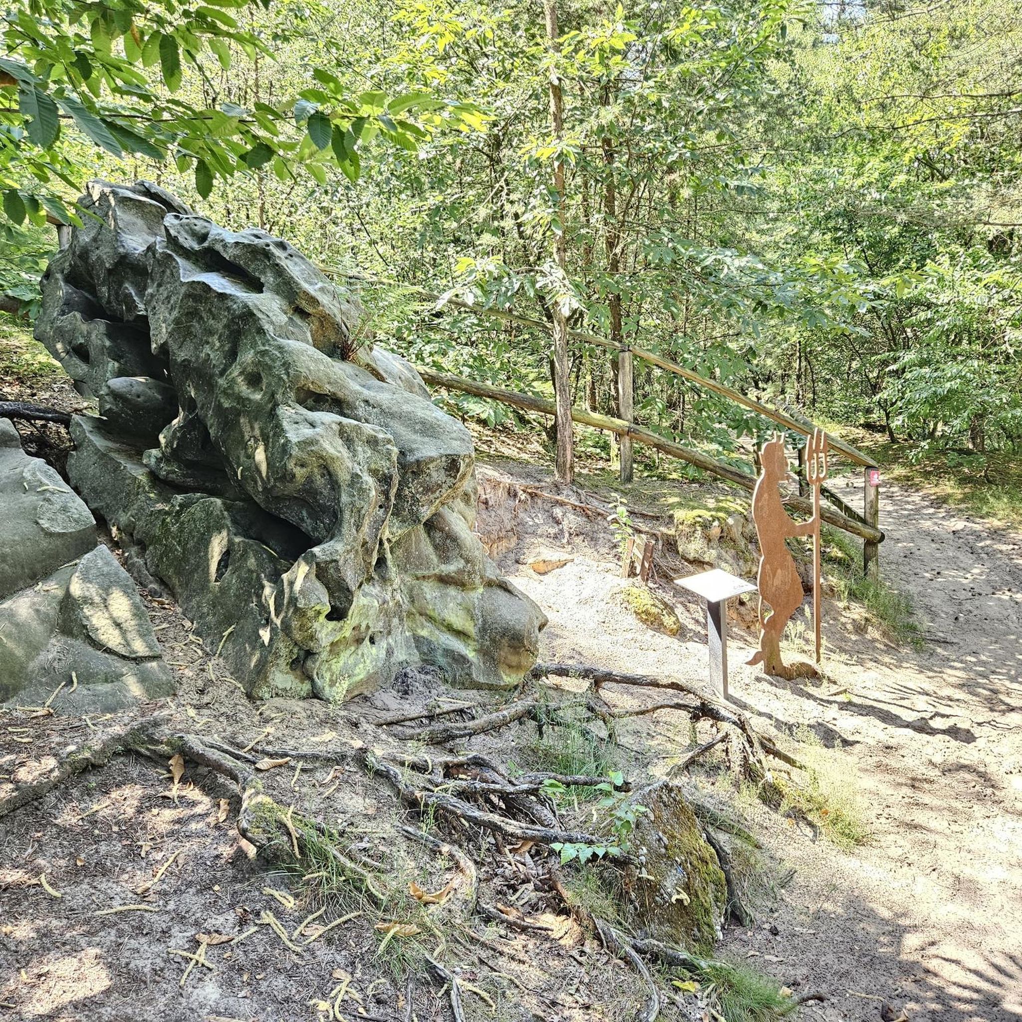
The Bertholdsburg is definitely worth a look. There are stone dinosaurs much more to marvel at. All I can say is, make sure you check it out👍
0
0

Located directly on the bike path.
2
1
Everything suggests that the old and early, arduous ascents of the high-altitude trails from the Werra Valley ended here; oxen, mules and horses were changed here before heading back downhill to Suhl and then conquering the Rennsteig via the Suhler Leube. For the descent of the further route to Suhl, the long ridge of the Steingebössel and then the Friedberg were used to reach the Haselfurt on the Kunigundenhügel. On the Pfütschberg, it came across a field site called "Eiserne Hand" for the second time, where farm buildings belonging to Neundorf farmers stood until the first half of the 20th century. Source: https://fraenkischesthueringen.blogspot.com/2020/06/die-eiserne-hand-eine-ausspanne-von.html?m=1
18
1
Frequently Asked Questions
How many running routes are available around Dam Ratscher?
The Dam Ratscher area offers a wide selection of running routes, with over 120 different trails to explore. These routes cater to various preferences, including easy, moderate, and difficult options.
What kind of terrain can I expect on the running trails near Talsperre Ratscher?
The terrain around Talsperre Ratscher is characterized by wooded mountains and extensive forests, providing a tranquil and scenic environment. You'll find a mix of forest paths and trails around the 100-hectare reservoir, offering diverse surfaces for your run.
Are there running routes suitable for beginners or those looking for an easy jog?
Yes, Dam Ratscher has several easy running routes. For a moderate but accessible option, consider the St. Kilian Church Rest Area loop from Schleusingen, which is 6.7 km long and features gentle elevation changes.
Can I find longer running routes for more challenging workouts?
Absolutely. For a more challenging and longer run, the Iron Hand – Kohlberg loop from Schleusingen is a difficult 15.7 km path with significant elevation changes. Another great option is the Village Church of Waldau – Lake Ratscher loop from Auengrund, spanning 16.5 km through forested areas.
Are there any circular running routes around Bergsee Ratscher?
Yes, many of the running routes in the Dam Ratscher area are circular, allowing you to start and end at the same point. For example, the popular Chapel Zum Einfirst loop from Schleusingen is a 10.5 km circular trail that offers a balanced experience through local scenery.
Is the Dam Ratscher area suitable for family jogging?
The Dam Ratscher region, with its diverse range of easy and moderate trails, can be suitable for families. The serene environment and picturesque landscapes around the reservoir provide a pleasant setting for a family outing, though specific routes should be chosen based on the family's fitness level.
Are dogs allowed on the running trails around Talsperre Ratscher?
While the region is generally welcoming to outdoor activities, specific rules for dogs on trails can vary. It's always recommended to keep dogs on a leash, especially in nature protection areas or during wildlife breeding seasons, and to check local signage for any specific restrictions around the Talsperre Ratscher recreation area.
What are the parking options for runners visiting Dam Ratscher?
The Talsperre Ratscher recreation area is well-developed, and you can generally find parking facilities near popular access points or the main recreational areas. Look for designated parking lots around the reservoir or near trailheads to ensure convenient access to the running routes.
How can I reach the running trails around Talsperre Ratscher by public transport?
Public transport options to Talsperre Ratscher are available, often connecting from nearby towns like Schleusingen. It's advisable to check local bus routes and schedules, particularly those serving the recreation area or the dam itself, to plan your journey.
Are there any cafes or restaurants near the running routes for a post-jog refreshment?
Yes, the Bergsee Ratscher recreation area features a well-developed infrastructure, including a camping site and bathing lake, which often means there are cafes or restaurants directly at or very near the Talsperre Ratscher. These establishments provide convenient spots for refreshments after your run.
What are the best times of year to go jogging around Dam Ratscher?
The Dam Ratscher area is beautiful throughout the year. Spring and autumn offer pleasant temperatures and vibrant scenery. While the Bergsee Ratscher was undergoing water restoration until May 2026, it is expected to be fully usable again from that time, enhancing its appeal for summer activities. Winter jogging is also possible, but trails might be icy or snowy, requiring appropriate gear.
Are there any specific viewpoints or natural features to look out for while running?
The main natural feature is the 100-hectare Bergsee Ratscher reservoir itself, which provides a serene and scenic backdrop for many routes. The surrounding wooded mountains also offer picturesque views. While not a specific viewpoint, the Dolphin Fountain in Fischbach loop from Schleusingen passes through charming local areas.
What do other runners say about their experience jogging in Dam Ratscher?
The running routes in Dam Ratscher are highly rated by the komoot community, with an average score of 4.4 stars from over 90 reviews. More than 600 runners have used komoot to explore the varied terrain, often praising the tranquil environment, diverse forest paths, and the scenic reservoir.
Are there any entry fees or permits required to use the recreation area for jogging?
Generally, there are no specific entry fees or permits required for jogging on the public trails around Talsperre Ratscher. However, if you plan to use specific facilities within the recreation area, such as the bathing lake or camping site, separate fees may apply.
Most popular routes around Dam Ratscher

Get inspired with the komoot mobile app


Explore more
Browse the best Running Trails & Routes in other regions.
