The best walks and hikes in Ouachita National Forest
4.7
(25)
601
hikers
59
hikes
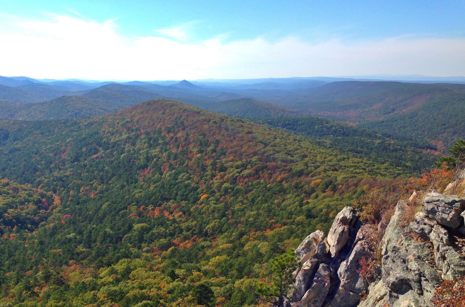
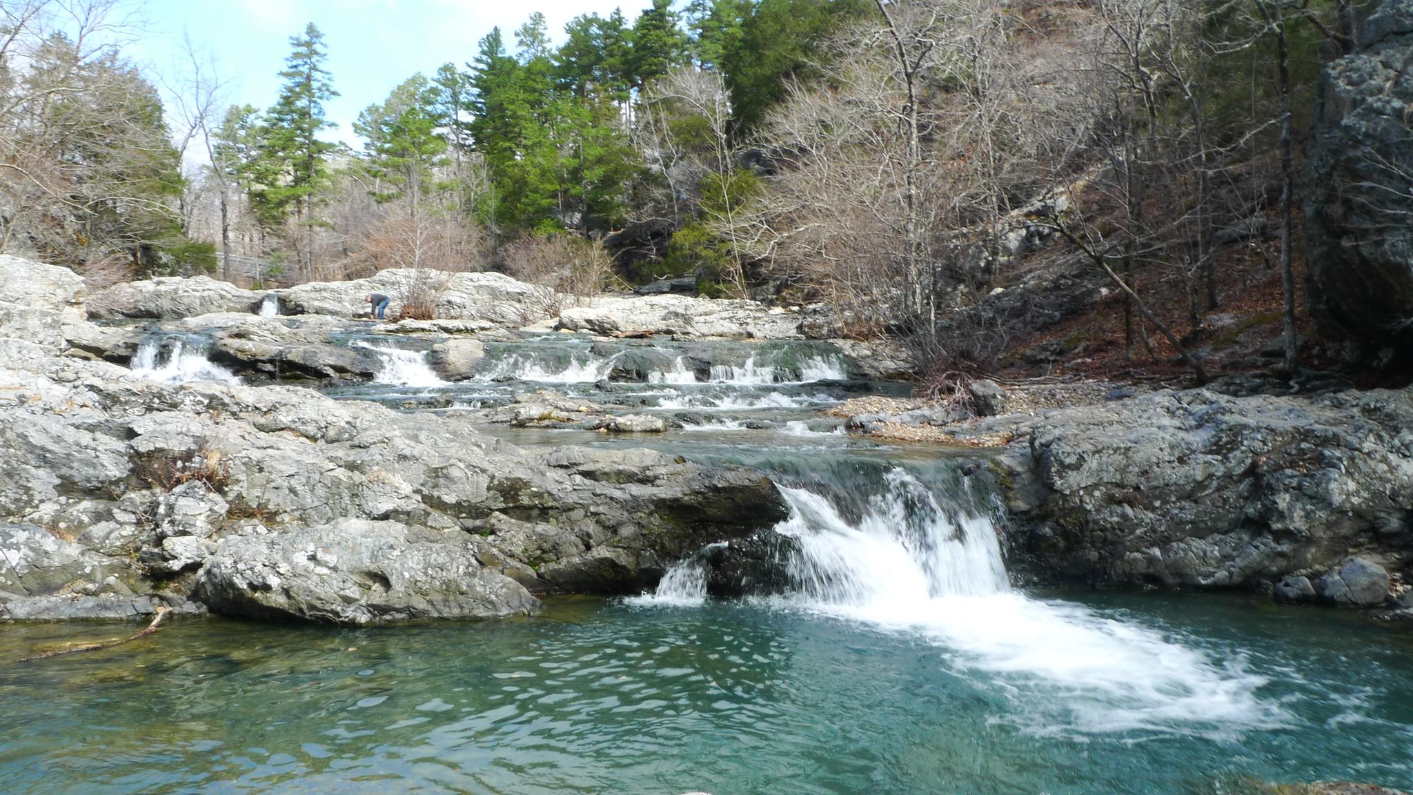
Hiking in Ouachita National Forest offers diverse landscapes across its nearly 1.8 million acres, characterized by the east-west orientation of the Ouachita Mountains. The terrain features rolling hills, sandstone and shale formations, and extensive pine and hickory forests. Hikers will encounter clear lakes like Lake Ouachita, picturesque rivers, and various wilderness areas.
Best hiking trails in Ouachita National Forest
- The most popular hiking route is Ouachita and Lake Sylvia Trail, a 4.5 miles (7.2 km) trail that takes 1…
Last updated: August 18, 2026
6
hikers
7.20km
01:59
110m
140m
The Ouachita and Lake Sylvia Trail offers a delightful, easy hike through the varied landscapes of the Ouachita National Forest. You'll wander through open hardwood forests, sections of unbroken pine,…
7
hikers
3.28km
00:55
50m
60m
The Little Missouri Trail to Winding Stairs offers a moderate hiking experience through the remote Ouachita National Forest, leading you past clear waters and through diverse woodlands. This 2.0-mile (3.3…

Sign up for free
3
hikers
7.96km
02:13
150m
150m
Embark on the Little Blakely South Loop for a moderate hiking experience through the Ouachita National Forest. This route spans 4.9 miles (8.0 km) and involves a total elevation gain…
4
hikers
6.62km
01:47
60m
120m
Embark on an easy hike along the East Caney Creek Trail, a 4.1 miles (6.6 km) route that takes about 1 hour and 46 minutes to complete. You'll gain a…
4.0
(1)
2
hikers
4.41km
01:09
30m
30m
Embark on an easy hike along the Lake Ouachita Vista Trail and Eagle Vista Loop, a 2.7-mile (4.4 km) route that offers delightful forest scenery and expansive views of Lake…
Get access to more routes and recommendations from other explorers.
Sign up for free
Already have an account?
Our route recommendations are based on thousands of hikes, rides, and runs completed by other people on komoot.
Start today with a free account
Your next adventure awaits.
Login or Signup
Popular around Ouachita National Forest



Other adventures in Ouachita National Forest

Tips from the Community

This high point on the trail offers a beautiful view of Lake Winona to the southeast, nestled within the beautiful trees of the Ouachita National Forest. For a higher vantage point, the Lake Sylvia trail junction here leads 1/2 mile north to the spur trail of the Chinquapin Mountain summit, which offers excellent views of the valley, Pinnacle Mountain, and Lake Maumelle to the east.
0
0

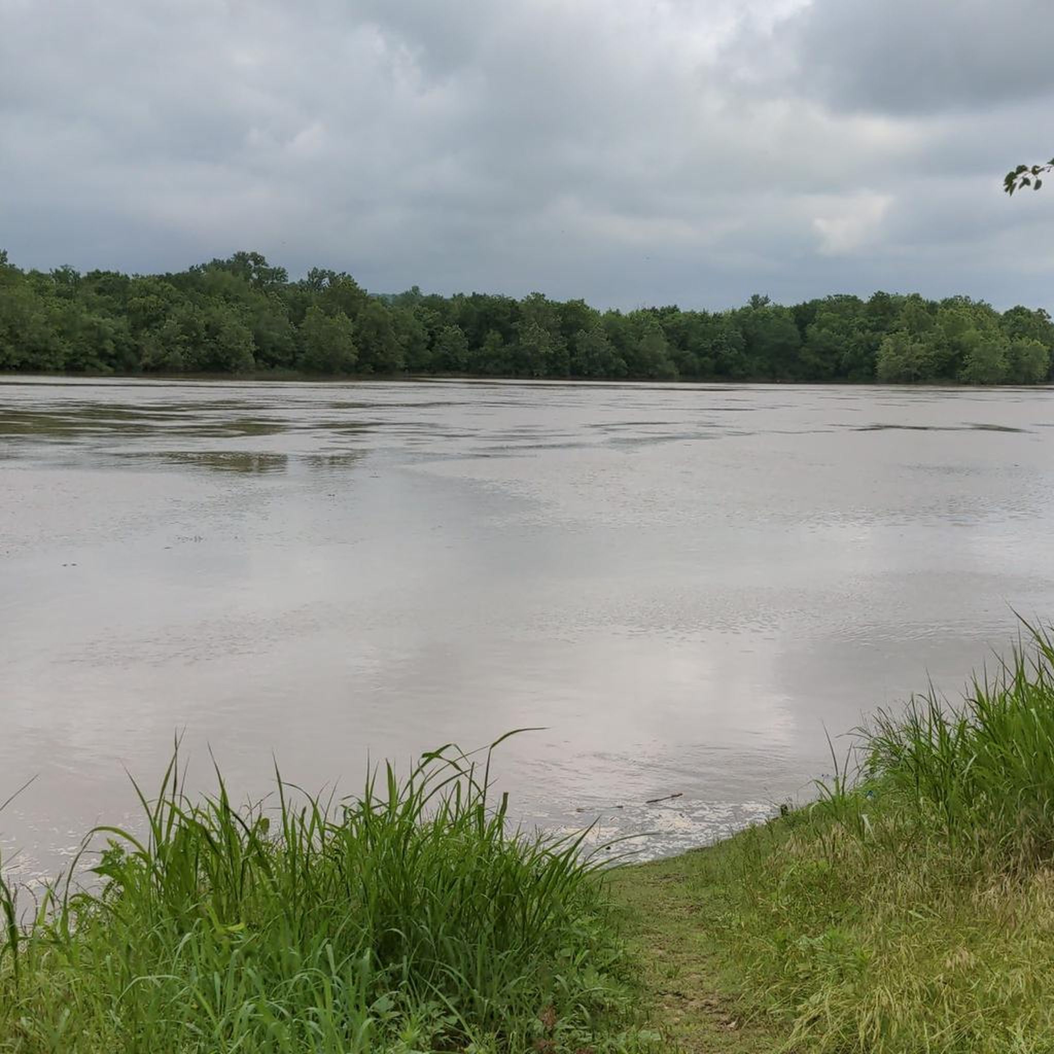
The largest lake in Arkansas. It is a pristine lake with very little shoreline development. It is surrounded by the 1.8 million acre Ouachita National Forest.
0
0
The Civilian Conservation Corps constructed this Girl Scout camp between 1936 and 1940 and is located on the northern tip of Lake Sylvia. The Rustic architectural style buildings include the Great Hall, administration buildings, and cabins. Its a good site to learn about the CCC's impact on the area's development, and appreciate the conservation work accomplished during that era.
0
0
The largest lake in Arkansas. It is a pristine lake with very little shoreline development. It is surrounded by the 1.8 million acre Ouachita National Forest.
1
0
Frequently Asked Questions
What kind of terrain can I expect on hikes in Ouachita National Forest?
The Ouachita National Forest is characterized by rolling hills, pristine lakes, and unique geological formations. You'll encounter the distinctive east-west oriented ridges of the Ouachita Mountains, offering outstanding views. Trails often feature quartz outcroppings and large boulder gardens, with a mix of deciduous and pine forests.
Are there any easy or beginner-friendly hiking trails in the Ouachita National Forest?
Yes, the forest offers several easy trails suitable for beginners. A popular choice is the Caddo Bend Trail loop, an easy 4-mile route that provides consistent lake views and passes by notable quartz formations. There are 12 easy routes available in the area.
What are some scenic spots or natural landmarks to look for while hiking?
Hikers will find numerous scenic spots and natural landmarks. The Ouachita Mountains themselves offer outstanding views, and Lake Ouachita provides stunning backdrops. You can explore unique geological features like quartz outcroppings and large boulder gardens. For specific points of interest, consider visiting Queen Wilhelmina State Park & Lodge or the Lake Sylvia Recreation Area.
What is the best time of year to hike in Ouachita National Forest?
The Ouachita National Forest is an excellent winter hiking destination, with the peak season often considered to be November through February. The climate is generally warmer than the Ozarks, making it comfortable for cooler-weather excursions. Spring and fall also offer pleasant conditions with vibrant foliage.
Are there any loop trails available for hiking?
Yes, many trails in the Ouachita National Forest are loop routes, providing varied scenery without retracing your steps. The Caddo Bend Trail loop is a popular easy option, while the more challenging Eagle Rock Trail to Winding Stairs loop offers rugged mountain terrain.
What do other hikers enjoy most about the Ouachita National Forest?
The area is highly rated by the komoot community, with an average score of 4.8 stars from over 10 reviews. Hikers often praise the diverse landscapes, from rolling hills and pristine lakes to unique geological formations like quartz outcroppings. The variety of trails, catering to different skill levels, is also frequently highlighted.
Are there any family-friendly hiking options in the forest?
Yes, the Ouachita National Forest has several trails suitable for families. Easy loops like the Caddo Bend Trail loop are great for shorter outings, offering scenic lake views and interesting rock formations that can engage younger hikers.
How many hiking trails are there in Ouachita National Forest?
There are over 30 hiking trails available in the Ouachita National Forest, ranging from easy strolls to more challenging mountain treks. This extensive network ensures options for various ability levels and preferences.
Are there any specific permits or entry fees required for hiking in the Ouachita National Forest?
Generally, there are no specific permits or entry fees required for day hiking in the Ouachita National Forest. However, some developed recreation areas or campgrounds within the forest might have fees for their use. It's always a good idea to check with the specific ranger district if you plan to use facilities.
What are the options for accommodation or places to stay near the hiking trails?
The Ouachita National Forest offers various accommodation options, including numerous campgrounds for those who prefer to stay close to nature. For more structured lodging, areas like Queen Wilhelmina State Park & Lodge provide facilities. Nearby towns also offer hotels and cabins. You can also find information on Huts and Cabins in Ouachita National Forest.
Is public transport available to access the Ouachita National Forest hiking trails?
Public transport options directly into the Ouachita National Forest for accessing trailheads are generally limited. Most visitors rely on personal vehicles to reach the various hiking areas and trail access points within the expansive forest.
Are there any notable long-distance trails in the Ouachita National Forest?
Yes, the Ouachita National Forest is home to the 223-mile-long Ouachita National Recreation Trail. This continuous trail traverses the Ouachita Mountains, offering a significant wilderness experience with outstanding views, particularly along its ridge and crest lines. For shorter multi-day options, the Eagle Rock Trail to Winding Stairs loop is a challenging 13.4-mile route.
Most popular routes in Ouachita National Forest
Most popular attractions in Ouachita National Forest

Get inspired with the komoot mobile app


Explore more
Browse the best Hikes in other regions.
