Stanislaus National Forest
Stanislaus National Forest
Top 12 Mountain Passes in Stanislaus National Forest
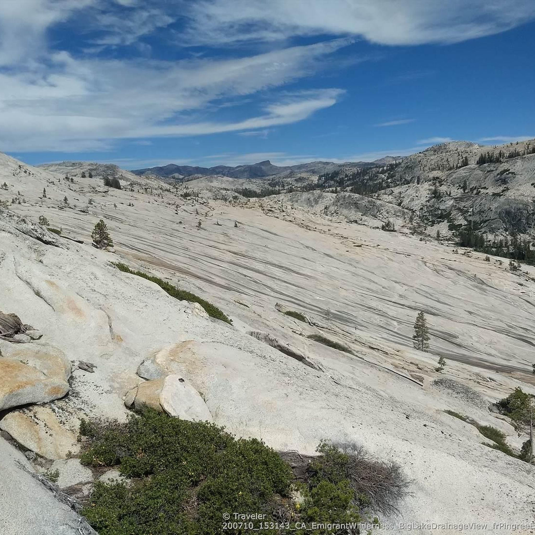
Best mountain passes in Stanislaus National Forest are found within California's Sierra Nevada mountain range. This region features diverse landscapes, including glacially carved valleys, granite outcroppings, and thick forests. Notable passes like Sonora Pass and Ebbetts Pass offer access to high-country experiences. The area provides opportunities to explore geological formations and historical routes.
Best mountain passes in Stanislaus National Forest
- The most popular mountain passes is Sonora Pass Trailhead at PCT, a trail that marks a significant location on…
Last updated: October 13, 2026
Sonora Pass Trailhead at PCT
Highlight • Trail
Tip by

Sonora Pass Climb West
Highlight (Segment) • Climb
Tip by

Sign up now to discover places like this
Get recommendations on the best single tracks, peaks, & plenty of other exciting outdoor places.
Ebbetts Pass National Scenic Byway
Highlight (Segment) • Mountain Pass
Tip by

Ebbetts Pass 🗻 Pacific Grade Summit
Highlight • Mountain Pass
Tip by

Brown Bear Pass
Highlight • Mountain Pass
Tip by
Sign up for free to discover even more mountain passes in Stanislaus National Forest.
Already have an account?
Start today with a free account
Your next adventure awaits.
Popular around Stanislaus National Forest

Other adventures in Stanislaus National Forest

Tips from the Community

The Sonora Pass climb from the west is one of California's most formidable and spectacular High Sierra ascents, renowned for its brutally steep upper section. After a long approach climb through forests and canyons, prepare for the final 9 miles / 14.5km starting near Kennedy Meadows; this section averages a steep 7-8% but culminates in incredibly tough ramps and switchbacks far exceeding 15% and reportedly hitting 20-26% near the summit. This climb will challenge you to an intense physical battle requiring your absolute lowest gears at very high altitude 9,624ft. Sonora Pass is seasonally closed due to deep snow in early May, often opening only in June or sometimes even July depending on snowpack.
0
0

The Ebbetts Pass National Scenic Byway is one of only seven nationally designated byways in California and 151 in the nation. It juts up from the heart of the Sierra Nevada with Lake Tahoe and goes on for a 61-mile stretch on Highways 4 and 89, in between the towns of Arnold in Calaveras County and Markleeville in Alpine County. A glorious wilderness drive of glacially carved valleys, granite outcroppings, basalt columns, ancient volcanic peaks and deep rivers. It is simply a stunning ride on a bicycle.
0
0

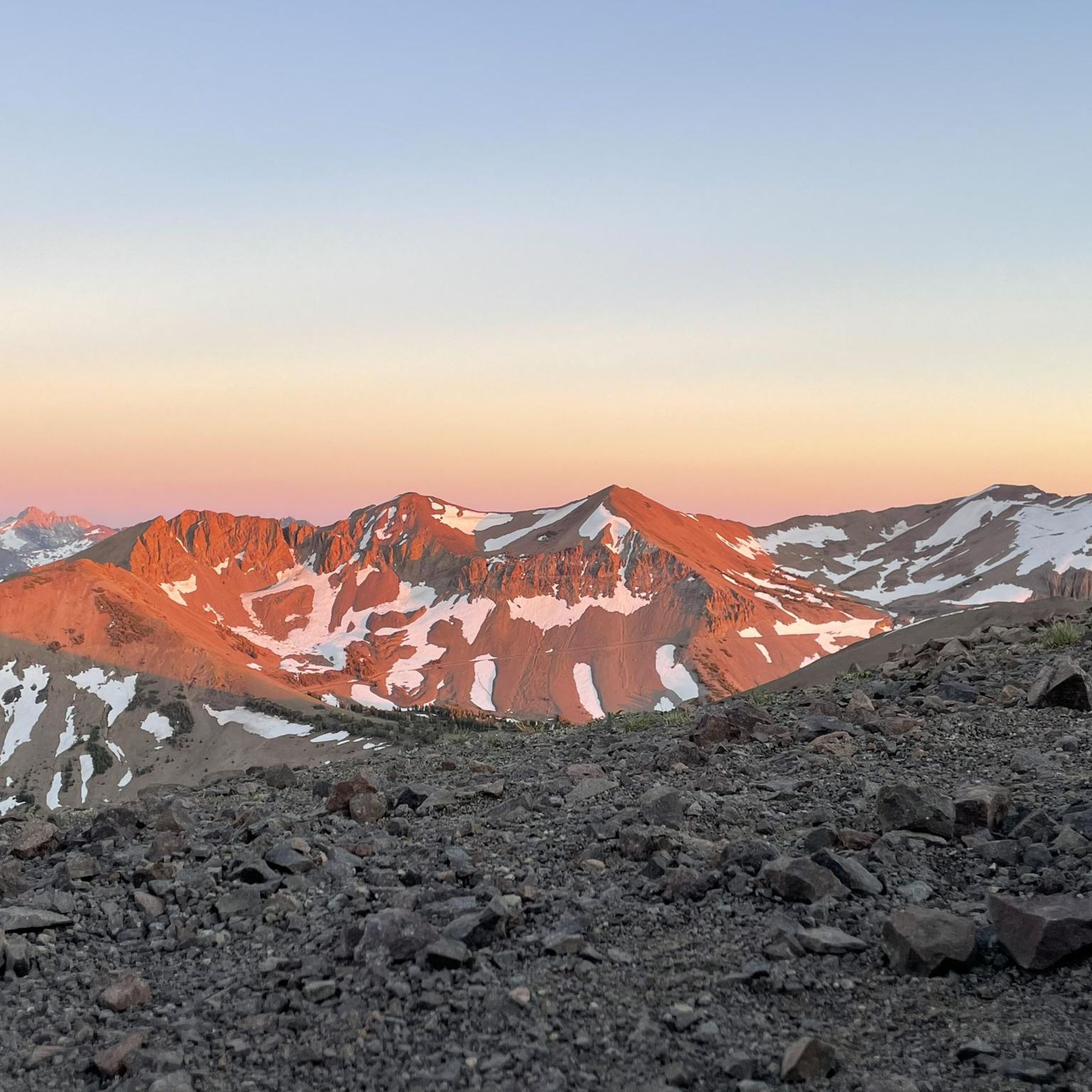
Climbing through a saddle of red granite, marking the transition between the Summit Creek watershed to the north-west and the Cherry Creek watershed to the south
1
0

Sonora Pass is a significant location on the Pacific Crest Trail since it kind of marks the end of the Sierras if you hike northbound. A new section of trail into Northern California begins. If you hike southbound, it is the entrance into the stunning scenery of Yosemite and the rest of the Sierra Nevada. Your best resupply option is to hitch around ten miles into Kennedy Meadows North, which most thruhikers do. The store there is small, but they have all the hiker necessities. They also have a good hiker box, hiker showers, hiker laundry, and a decent restaurant.
6
0
The Sonora Pass is a historic mountain pass dating back to 1865. The Pacific Crest Trail crosses here.
4
0
CA SR 4 leads over Ebbetts Pass about 10 miles East of Bear Valley, crossing Pacific Grade Summit at about 2464 m elevation. CA SR4 is closed from the first snowfall (typically early November) to June but open to snowmobiles and ski.
1
0
Frequently Asked Questions
What are the most popular mountain passes in Stanislaus National Forest?
Among the most appreciated mountain passes in Stanislaus National Forest are Sonora Pass Trailhead at PCT, which is a significant location on the Pacific Crest Trail, and Ebbetts Pass 🗻 Pacific Grade Summit, known for crossing Pacific Grade Summit at about 2464 m elevation. Visitors also enjoy Brown Bear Pass, which features a saddle of red granite and marks a transition between watersheds.
When is the best time to visit the mountain passes in Stanislaus National Forest?
The mountain passes, particularly Sonora Pass and Ebbetts Pass, are typically closed during winter due to heavy snow accumulation. They generally open from late May or June, depending on the snowpack, and remain accessible through October or early November. Summer and early fall offer the best conditions for exploring, hiking, and other recreational activities.
What kind of natural features can I expect to see along these mountain passes?
The passes offer diverse and stunning natural features. Along Sonora Pass, you can find unique geological formations like the "Columns of the Giants" with basalt columns formed by ancient lava flows, and the "Trail of the Gargoyles" featuring strangely shaped volcanic rock. Ebbetts Pass National Scenic Byway showcases glacially carved valleys, granite outcroppings, ancient volcanic peaks, and thick forests, including majestic stands of Giant Sequoias near Calaveras Big Trees State Park.
Are there historical sites or points of interest along the mountain passes?
Yes, both Sonora Pass and Ebbetts Pass have rich historical significance. Sonora Pass is a historic mountain pass dating back to 1865, and the area features sites related to emigrant trails like the Walker River Emigrant Trail and the Sonora and Mono Wagon Road. Ebbetts Pass was originally used by Native Americans and later became a significant toll road in the 1860s for transporting silver miners. Historical relics and markers can be found along the byway.
What outdoor activities can I do near the mountain passes?
The region around the mountain passes offers a wide range of outdoor activities. In warmer months, you can enjoy hiking, road biking, horseback riding, fishing, camping, kayaking, and canoeing. During winter, when the roads are closed to vehicles, the area transforms into a haven for snowmobiling, snowshoeing, and cross-country skiing. For more specific routes, explore hiking, road cycling, and mountain biking guides in Stanislaus National Forest.
Are there any challenging climbs for cyclists in the area?
Absolutely. The Sonora Pass Climb West is renowned as one of California's most formidable and spectacular High Sierra ascents. It features a brutally steep upper section with ramps and switchbacks exceeding 15% and reportedly hitting 20-26% near the summit, challenging even experienced cyclists at high altitudes.
What are the accessibility considerations for vehicles on these mountain passes?
Sonora Pass (Highway 108) is known for its extremely steep, narrow, and winding sections, making it unsuitable for unusually wide, heavy, or long vehicles. Ebbetts Pass (Highway 4) is also a winding mountain road. Both passes are seasonally closed due to snow, typically from November to May or June, so it's essential to check current road conditions before planning your trip.
Are there family-friendly activities or trails near the mountain passes?
Yes, the areas around the passes offer family-friendly options. Along Ebbetts Pass, you can access Calaveras Big Trees State Park, known for its Giant Sequoias, which can be a wonderful experience for families. Lake Alpine is another popular spot for fishing, boating, swimming, and hiking with numerous campgrounds. Many easy hiking trails are available throughout the Stanislaus National Forest, such as Crabtree Trail to Bear Lake or Sugar Pine Railway - Strawberry Branch, which are suitable for families.
What kind of views can I expect from the mountain passes?
The mountain passes offer breathtaking panoramic views. From the summit of Sonora Pass, you can enjoy spectacular eastward views into Mono County and back across the Sierra Nevada crest. Various overlooks like Dodge Ridge Overlook and Donnell Vista provide stunning photographic opportunities. Ebbetts Pass National Scenic Byway also offers expansive views extending to the Carson-Iceberg Wilderness and various reservoirs like Union, Utica, and Spicer.
Do I need a permit for hiking in the Stanislaus National Forest mountain pass areas?
While many day hikes do not require a permit, certain areas, especially within designated wilderness areas like the Carson-Iceberg and Mokelumne Wildernesses (accessible from Ebbetts Pass), may require wilderness permits for overnight stays. It's always best to check with the Stanislaus National Forest service for the most current permit requirements for your specific activity and location.
What do visitors enjoy most about the mountain passes in Stanislaus National Forest?
Visitors frequently highlight the stunning natural beauty, the challenging yet rewarding outdoor activities, and the sense of history. The dramatic landscapes, from glacially carved valleys to ancient volcanic formations, are a major draw. Hikers appreciate access to trails like the Pacific Crest Trail from Sonora Pass, while cyclists relish the formidable climbs. The serene camping spots and diverse recreational opportunities also contribute to a memorable high-country experience.
Most popular routes in Stanislaus National Forest
Most popular attractions in Stanislaus National Forest

Get inspired with the komoot mobile app


