The best running trails in Cleveland National Forest
5.0
(1)
164
runners
31
runs
Jogging in Cleveland National Forest offers diverse terrains and extensive trail systems across its vast acreage in Southern California. The landscape transitions from chaparral-covered hills to oak woodlands and coniferous forests, providing varied scenery for runners. This region features numerous trails suitable for different fitness levels, from moderate paths to challenging routes with significant elevation gains. The forest's natural features include scenic overlooks, waterfalls, and sections of the Pacific Crest Trail.
Best jogging routes in Cleveland National Forest
- The most…
Last updated: October 10, 2026
11
runners
15.9km
02:13
550m
550m
Hard run. Very good fitness required. Mostly accessible paths. Some sure footedness required.
5
runners
12.1km
01:50
620m
620m
Hard run. Very good fitness required. Mostly paved surfaces. Suitable for all skill levels.

4
runners
22.3km
03:18
850m
850m
Hard run. Very good fitness required. Sure-footedness, sturdy shoes and alpine experience required.
3
runners
28.6km
03:55
950m
950m
Hard run. Very good fitness required. Mostly paved surfaces. Suitable for all skill levels.
1
runners
14.6km
01:44
270m
270m
Moderate run. Good fitness required. Mostly paved surfaces. Suitable for all skill levels.
Get access to more routes and recommendations from other explorers.
Already have an account?
Our route recommendations are based on thousands of hikes, rides, and runs completed by other people on komoot.
Start today with a free account
Your next adventure awaits.
Popular around Cleveland National Forest
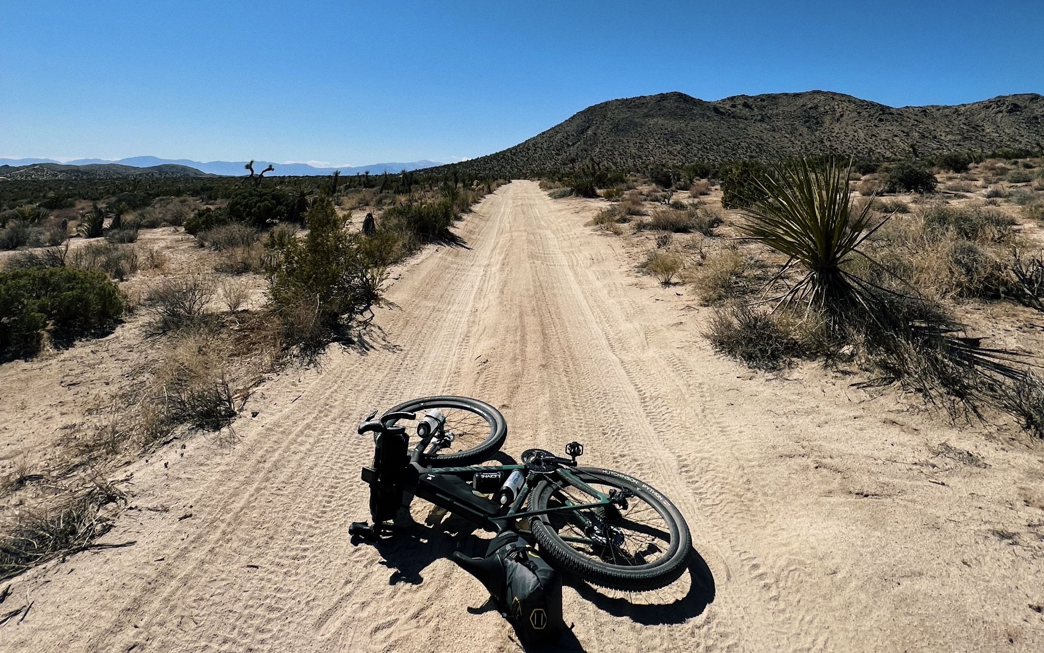
Bikepacking California — Into The Desert

Pacific Crest Trail from Mexico to Canada – 4,200 kilometres of wilderness
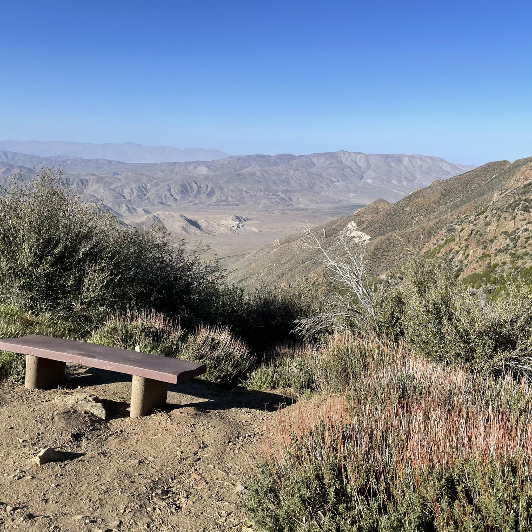
Hiking in Cleveland National Forest
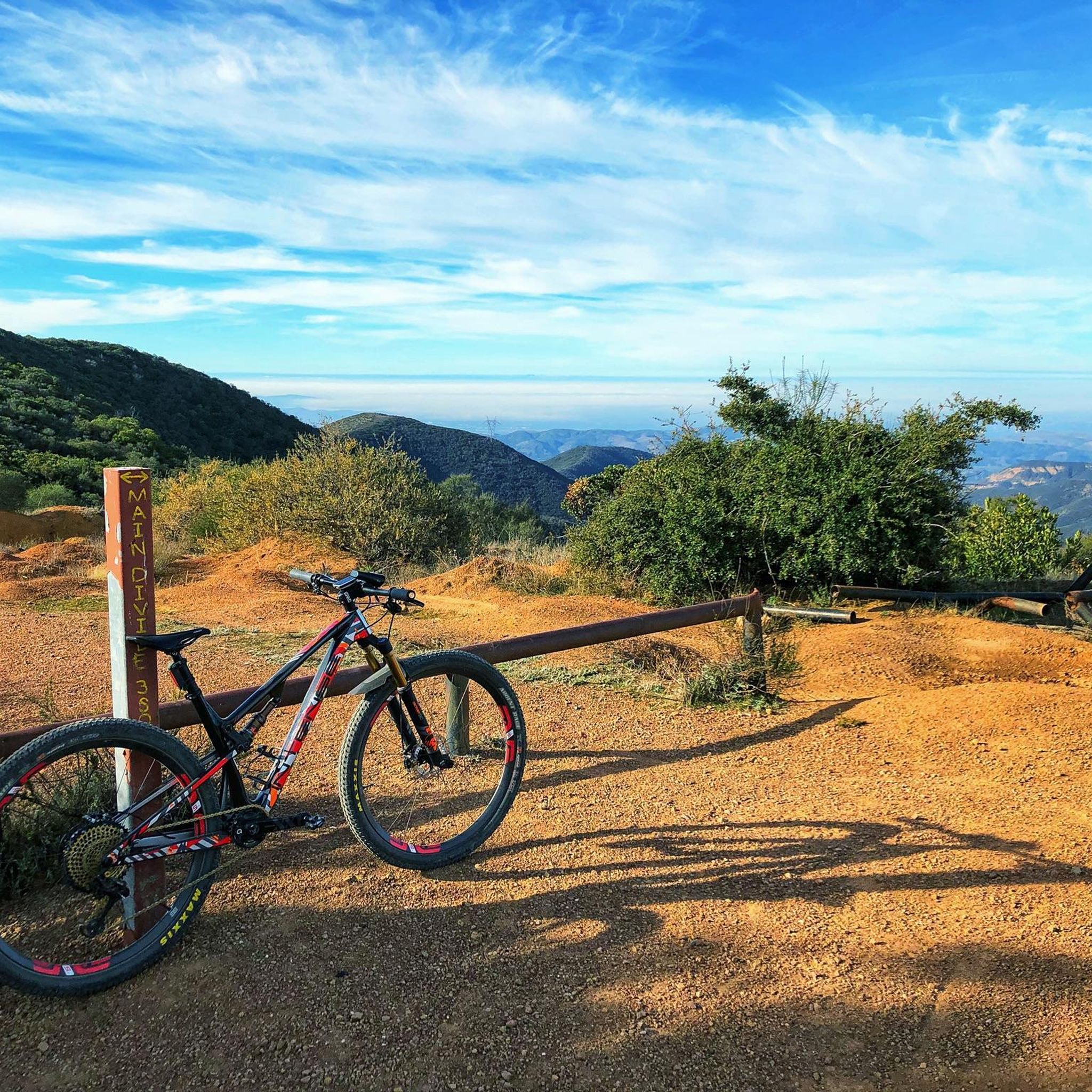
MTB Trails in Cleveland National Forest
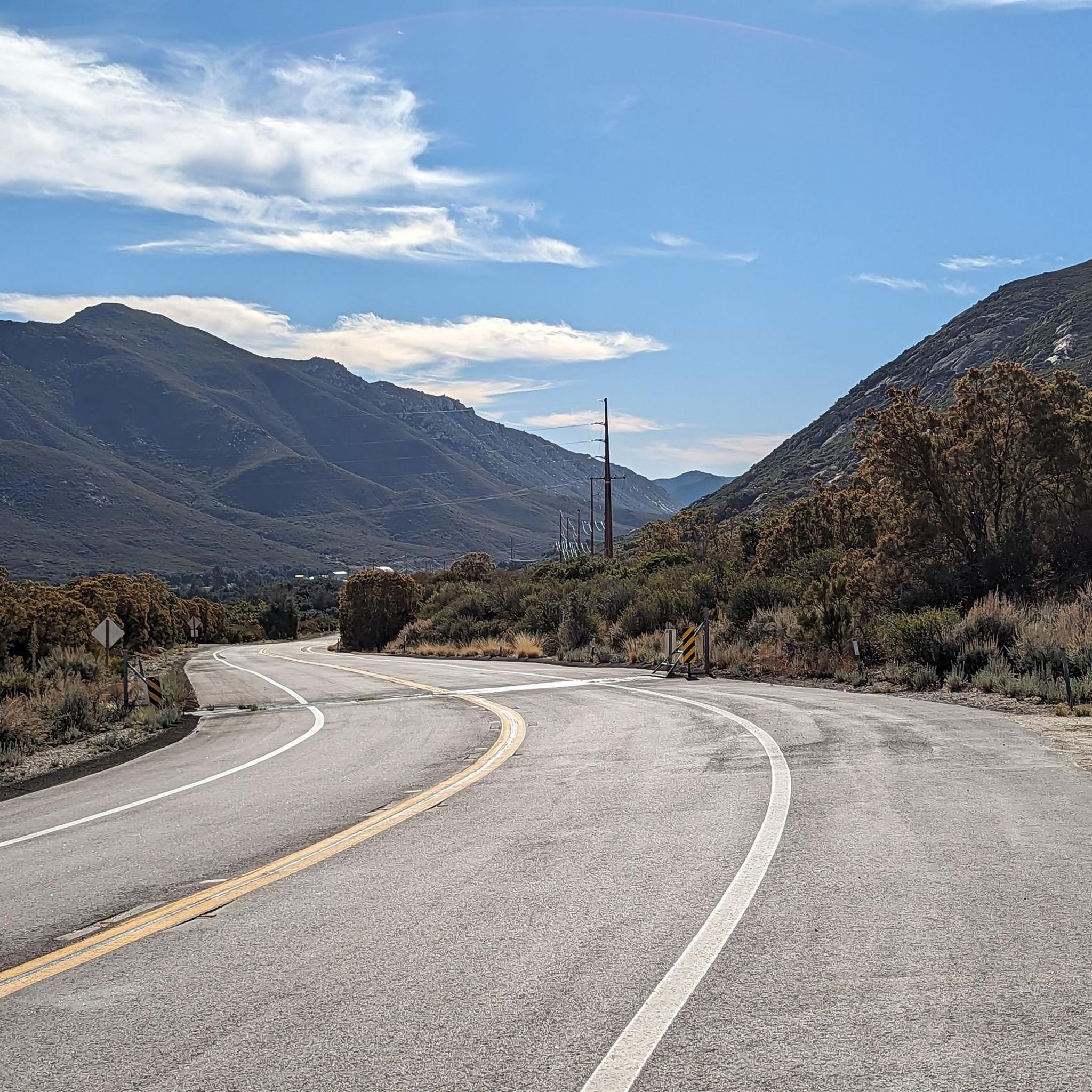
Road Cycling Routes in Cleveland National Forest
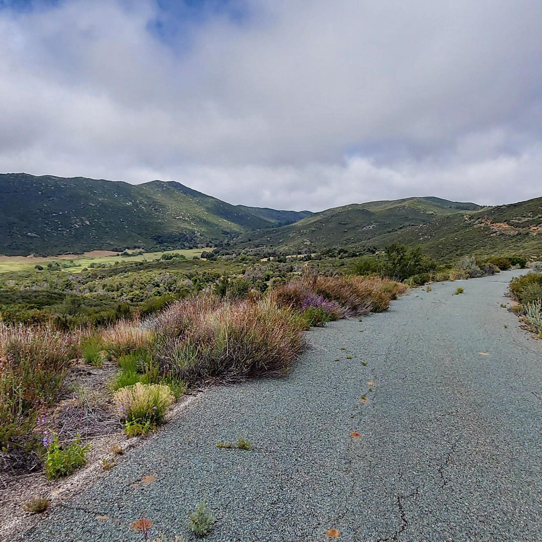
Cycling in Cleveland National Forest
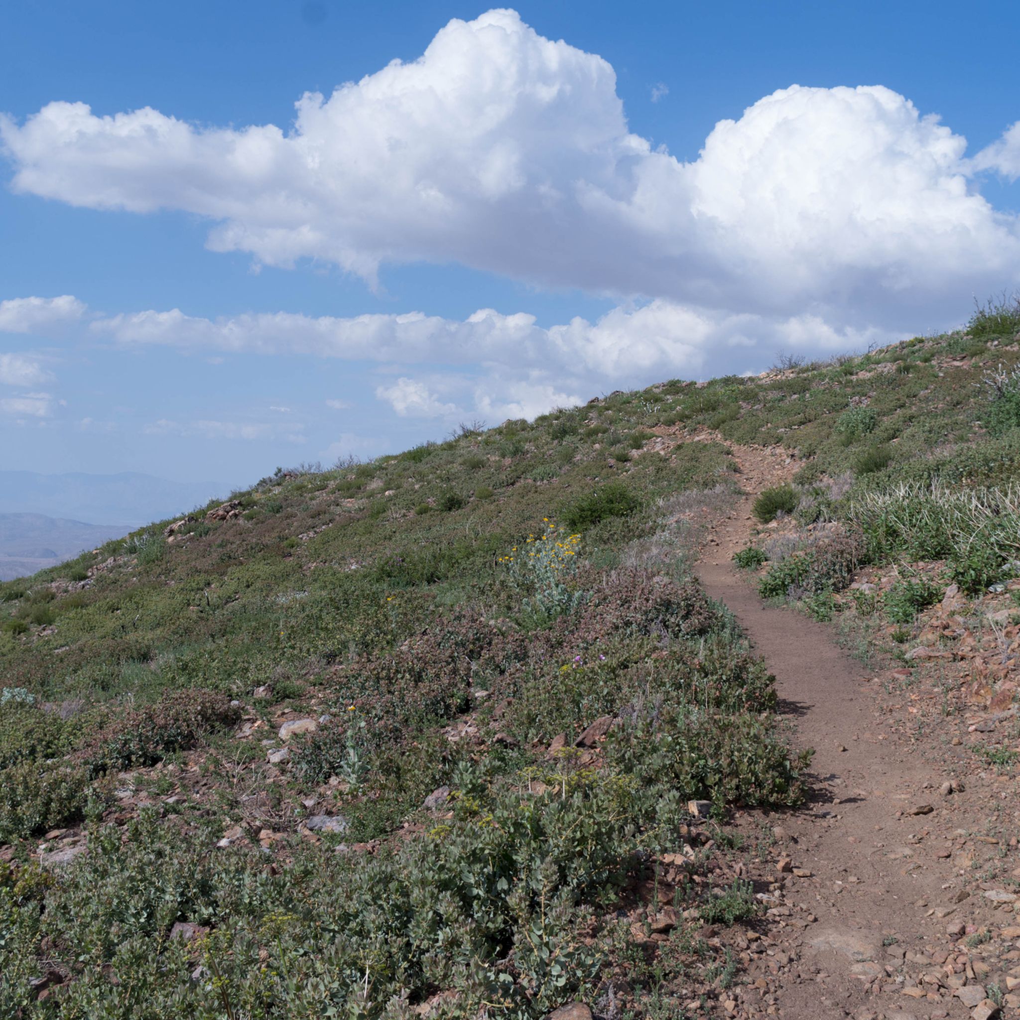
Gravel biking in Cleveland National Forest


Tips from the Community

This is an extremely popular mountain biking trail that doubles as a great run if you get out early or on a weekday when there are fewer riders. Be sure to keep your ears out for bike bells and tires, especially when on the switchbacks.
0
0
What a run! Be prepared for some climbing, but this route is an absolutely stunning singletrack up through the foothills to Bedford Peak. The views are incredible the whole time and the trail is not very technical.
0
0
This is a beautiful trail that grants views of the mountains the whole time. There is little shade and you may want longer clothes for the chaparral and brambles in places, but nothing unusual for the Santa Ana Mountains.
0
0
Like the climb to Sugarloaf, New Sugarloaf has no official trail to the summit but is a fairly easy climb. You get sweeping views of the mountains and can see Catalina if the weather is clear.
0
0
The ascent to Sugarloaf Peak is a little overgrown but not difficult. You get fantastic views of the mountains from the summit.
0
0

Bedford Peak is just 250 feet west of this junction and a short walk. You might have to dismount and push your bike. Bedford Peak is right on the border of Riverside and Orange Counties. It is at an elevation of 3,800 ft. From the top, there are good views of Santiago Peak and Silverado Canyon, with the ocean and Catalina in the distance.
0
0

Vail Lake in Temecula Valley is the perfect backdrop for runners with its scenic trails and peaceful surroundings. The expansive landscape provides a refreshing backdrop for trail running, offering a perfect blend of fresh air and fitness.
1
0

Vail Lake is a reservoir located in the Temecula Valley. The lake covers around 1,000 acres and is surrounded by picturesque hills, that make up a perfect spot for hiking along one of the many trails. Furthermore, the lake is a popular destination for fishing, camping, boating and much more.
0
0
Frequently Asked Questions
How many running routes are available in Cleveland National Forest?
Cleveland National Forest offers a wide variety of running experiences, with over 35 routes documented on komoot. These range from easy paths to very challenging trails, ensuring options for all fitness levels.
What is the best time of year for running in Cleveland National Forest?
The cooler fall, winter, and spring months are generally the best seasons for running in Cleveland National Forest. Many trails traverse open chaparral, which can become very hot during the summer, making cooler weather more enjoyable and safer for longer runs.
Are there any easy running trails in Cleveland National Forest?
Yes, while many routes are moderate to difficult, there is at least one easy running trail available. For those seeking a more relaxed pace, you can find suitable options among the diverse trail network.
What kind of terrain can I expect on the running routes?
The terrain in Cleveland National Forest is incredibly diverse, transitioning from chaparral-covered hills to oak woodlands and coniferous forests. You'll encounter varied surfaces, elevation changes, and scenic overlooks, providing a dynamic running experience.
Are there any challenging routes for experienced runners?
Absolutely. Cleveland National Forest is home to 19 difficult running routes. For example, the Old and New San Juan Trail Loop is a challenging 17.7-mile route featuring varied terrain and significant elevation gains, perfect for experienced runners looking for a demanding workout.
Can I find trails with waterfalls or scenic viewpoints?
Yes, the forest boasts several beautiful natural features. You can find waterfalls like Black Star Falls and Tenaja Falls. For breathtaking vistas, consider routes that pass by viewpoints such as Storm Canyon Overlook or offer panoramic views from summits like Bedford Peak.
Are there any family-friendly running options?
While specific family-friendly routes are not explicitly detailed in the guide, the forest offers a range of trails. Look for shorter, less strenuous options, particularly those with minimal elevation gain, which would be more suitable for families. The San Juan Loop Trail, though not in the guide, is mentioned in regional research as a little over two miles long with a moderate elevation change, offering views of a waterfall and a wooded riparian area.
Are dogs allowed on the running trails?
Cleveland National Forest generally allows dogs on trails, but it's always best to check specific trail regulations before heading out, as rules can vary. Ensure your dog is on a leash and that you carry waste bags to maintain the cleanliness of the trails.
What kind of wildlife might I see while running?
The forest is rich in wildlife. Runners might spot mule deer, bobcats, and various bird species. Keep an eye out for diverse flora, including oaks, pines, firs, and vibrant wildflowers, especially in spring.
Are there any facilities or campgrounds near the running routes?
Yes, there are facilities available. For instance, Lake Morena Campground & Trailhead and Boulder Oaks Campground & Trailhead offer facilities that can be convenient for runners.
Can I find routes that are part of the Pacific Crest Trail?
Yes, portions of the iconic Pacific Crest Trail run through Cleveland National Forest. This offers unique opportunities for long-distance runners to experience sections of this renowned trail within the forest.
What is the longest running route available?
Among the listed routes, the Old and New San Juan Trail Loop is one of the longest, spanning 17.7 miles (28.5 km). This route provides an extensive running experience through varied forest landscapes.
Most popular routes in Cleveland National Forest
Most popular attractions in Cleveland National Forest

Get inspired with the komoot mobile app


Explore more
Browse the best Running Trails & Routes in other regions.
