The best running trails in San Bernardino National Forest
4.8
(7)
398
runners
43
runs
Jogging in San Bernardino National Forest offers diverse landscapes across its vast expanse in Southern California. The region is characterized by significant mountain ranges, including the San Bernardino, San Jacinto, and Santa Rosa Mountains, with elevations ranging from 2,000 to over 11,000 feet. Runners can find trails winding through pine forests, oak woodlands, and serene meadows, alongside prominent peaks and unique natural features like Big Falls and Lost Lake. The varied terrain provides a wide array of experiences for different running preferences.
Best jogging routes in San Bernardino National Forest
- The most popular jogging route is Ernie Maxwell Scenic Trail, a 7.6 miles (12.2 km) trail that takes 1 hour 41 minutes to complete. This difficult route offers scenic views, lush forests, and serene meadows.
- Another top favourite among local runners is Suicide Rock via Deer Springs Trail, a difficult 6.7 miles (10.8 km) path. This trail leads through diverse landscapes of pine forests, meadows, and rocky terrain.
- Local runners also love the San Jacinto Peak via Round Valley Trail, a 10.0 miles (16.0 km) trail leading through mountain terrain, often completed in about 2 hours 21 minutes.
- Jogging in San Bernardino National Forest is defined by mountain peaks, lush forests, and diverse ecosystems. The network offers options for different ability levels, from challenging ascents to more gradual paths.
- The routes in San Bernardino National Forest are highly rated by the komoot community with an average score of 4.8 stars from over 7 reviews. More than 380 runners have used komoot to explore San Bernardino National Forest's varied terrain.
Last updated: August 31, 2026
21
runners
16.0km
02:21
730m
730m
The San Jacinto Peak via Round Valley Trail offers an unforgettable jogging experience, taking you through diverse terrain from lush pine forests and meadows to exposed alpine environments. You'll start with a gentle climb towards Round Valley, then tackle the steep ascent to Wellman Divide, before reaching the 10,834-foot San Jacinto Peak summit. From the top, prepare for truly spectacular 360-degree panoramic views that stretch across the Pacific Ocean, the Los Angeles Basin, and even parts of Mexico and Arizona on a clear day.
This difficult 10.0-mile (16.0 km) route, with its 2407 feet (734 metres) of elevation gain, is typically completed in about 2 hours and 21 minutes, making it a serious workout for experienced joggers. Access is primarily via the Palm Springs Aerial Tramway, which quickly transports you from the desert floor to an alpine setting. Remember that free day-use wilderness permits are required from the Long Valley Ranger Station, and you should be prepared for high altitude conditions and potentially much colder weather at the summit.
What makes this one of the popular jogging routes in San Jacinto State Park is its dramatic elevation change and the unique "Island in the Sky" experience, rapidly ascending from desert to alpine. The region is a lofty haven of forests and meadows, offering a stark contrast to the desert below. Just be mindful of the Mount San Jacinto State Park permits required and the potential for heavy snow and harsh conditions during winter months.
13
runners
10.8km
01:34
560m
560m
If you're seeking a truly rewarding challenge, the Suicide Rock via Deer Springs Trail delivers a difficult 6.7-mile (10.8 km) jogging experience, climbing 1850 feet (564 metres) in roughly 1 hour and 33 minutes. The route begins among oak trees, quickly transitioning to diverse pine forests and massive Manzanita bushes as you ascend. You'll navigate varied terrain, from dirt paths to rocky sections and even soft pine needle cushioned single track, all leading to the spectacular panoramic views from Suicide Rock itself.
Planning your visit requires a bit of foresight; you'll need to secure a free wilderness permit from a ranger station before you start. Be aware that dogs are not permitted on this trail, as it crosses into Mount San Jacinto State Park Wilderness. Given the strenuous nature and significant elevation gain, ensure you're well-prepared with water and appropriate gear, especially if you're tackling this popular trail in the Idyllwild area.
Beyond the physical challenge and stunning vistas, Suicide Rock holds a rich history, tied to a Cahuilla Native American legend about two lovers. The area is also a hotspot for rock climbing and offers excellent opportunities for wildlife and bird viewing within the San Bernardino National Forest. It's a fantastic option for experienced joggers looking for a trail with both natural beauty and cultural significance.

Sign up for free
12
runners
12.2km
01:41
440m
440m
The Ernie Maxwell Scenic Trail offers a dynamic jogging experience through diverse forest types, from oak and pine to manzanita, providing a shaded escape. As you navigate the singletrack dirt path, which can be narrow and rocky in places, you'll be treated to stunning vistas of the San Jacinto Mountains, including iconic formations like Tahquitz Peak and Suicide Rock. This route is a rewarding challenge for those who appreciate mountain scenery and varied terrain.
To access the trail, head to Humber Park, which serves as the main trailhead and parking area. While the trail is generally accessible year-round, spring and early summer are ideal for spotting wildflowers, and fall offers beautiful foliage. Be aware that winter conditions may bring snow, and always plan to carry sufficient water for this demanding route.
Beyond its natural beauty, the Ernie Maxwell Scenic Trail holds historical significance, named after Ernie Maxwell, an advocate for the outdoors and founder of the Idyllwild Town Crier. It's a popular choice not just for jogging, but also for hiking and horseback riding, known for its well-maintained conditions and dog-friendly policy, making it a beloved local gem.
7
runners
13.4km
01:57
680m
680m
Hard run. Very good fitness required. Mostly paved surfaces. Suitable for all skill levels.
2
runners
20.0km
02:33
570m
570m
Jog the challenging 12.4-mile Keller Peak via Exploration Trail in San Bernardino National Forest, gaining 1874 feet with expansive views.
Get access to more routes and recommendations from other explorers.
Sign up for free
Already have an account?
Our route recommendations are based on thousands of hikes, rides, and runs completed by other people on komoot.
Start today with a free account
Your next adventure awaits.
Login or Signup
Popular around San Bernardino National Forest

Pacific Crest Trail from Mexico to Canada – 4,200 kilometres of wilderness
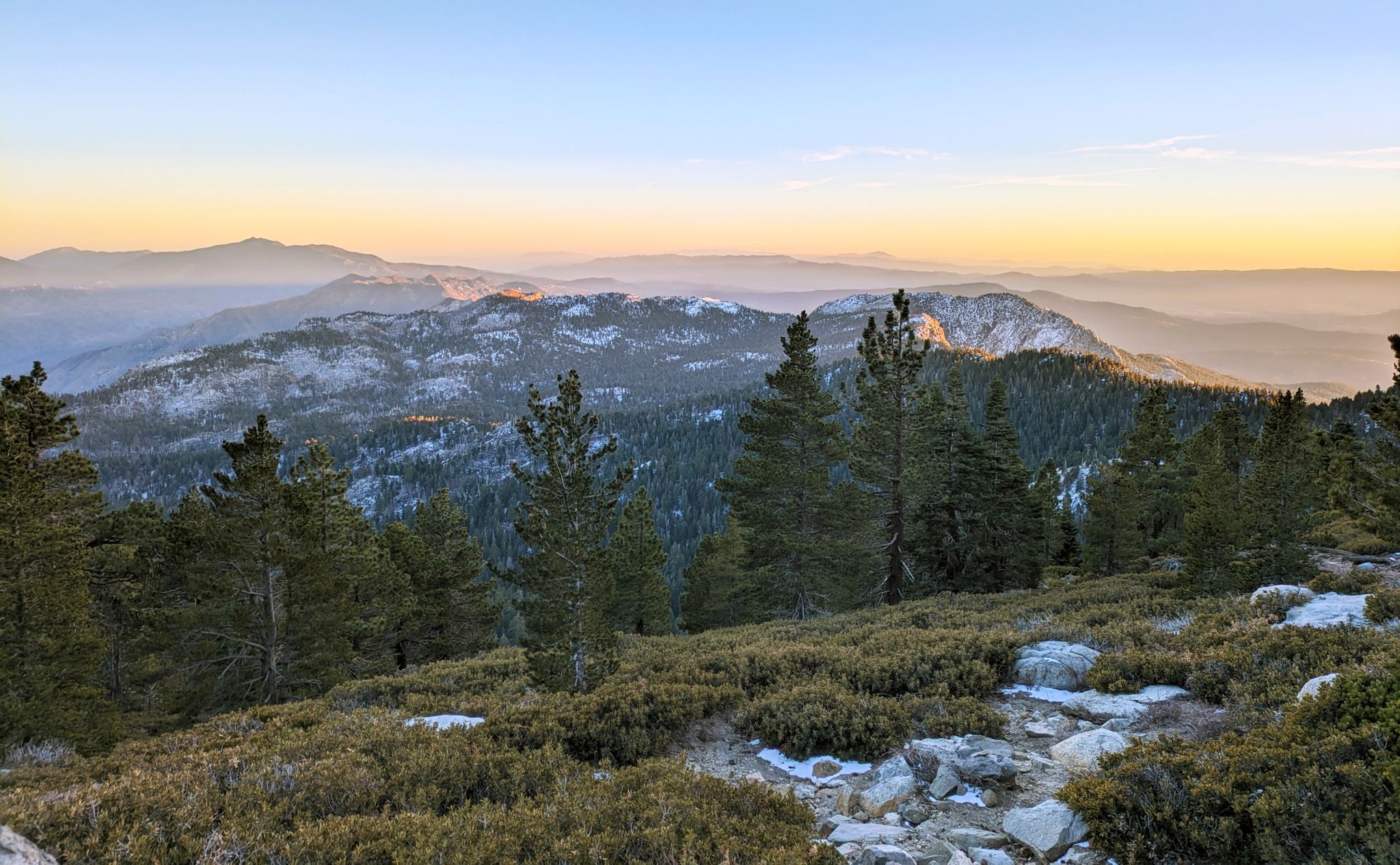
Climbing Mount San Jacinto on the Deer Springs Trail
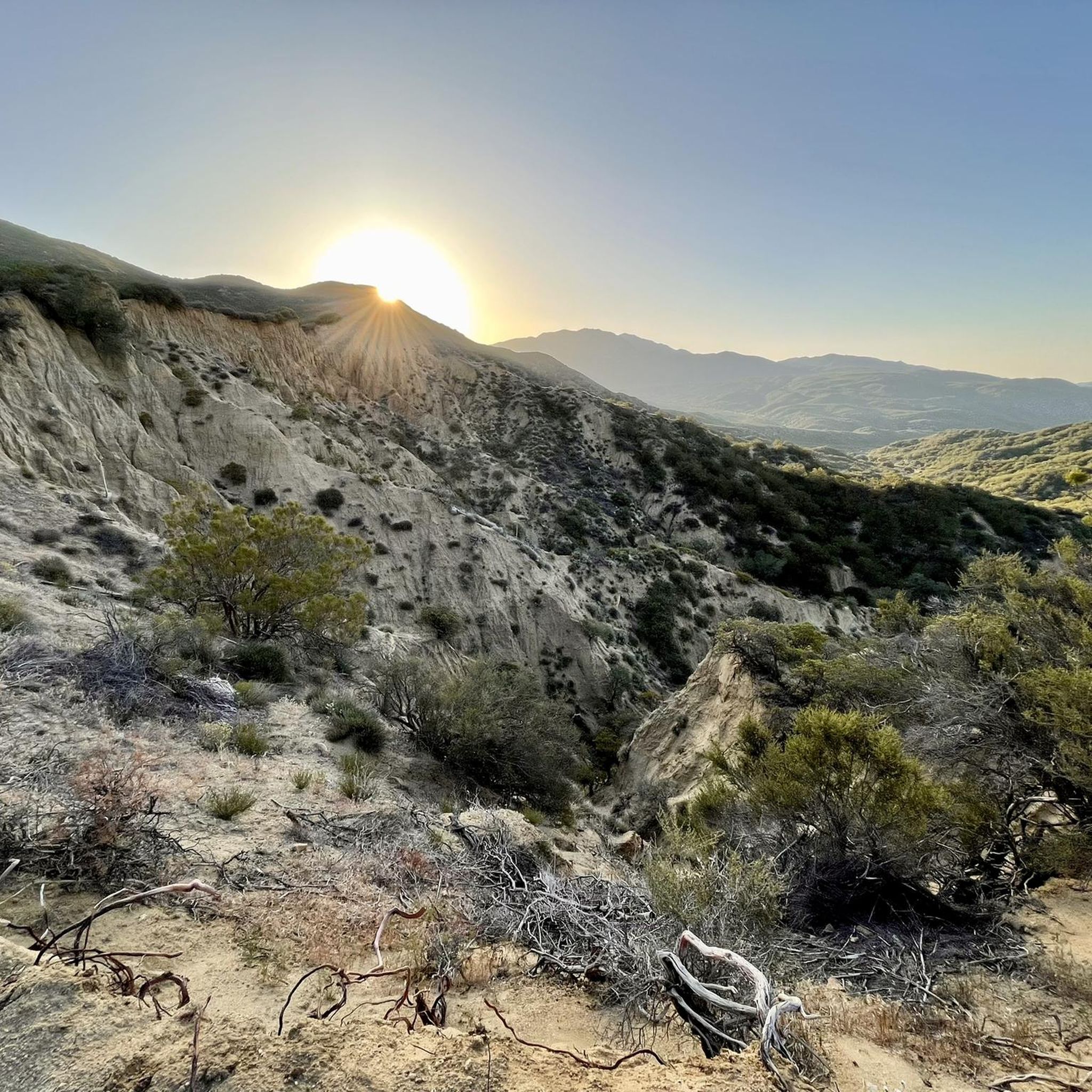
Hiking in San Bernardino National Forest
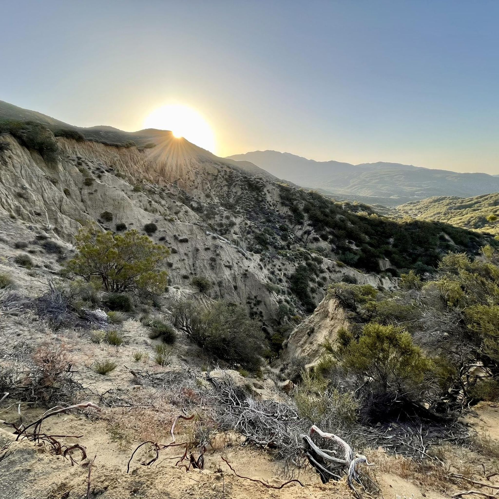
MTB Trails in San Bernardino National Forest
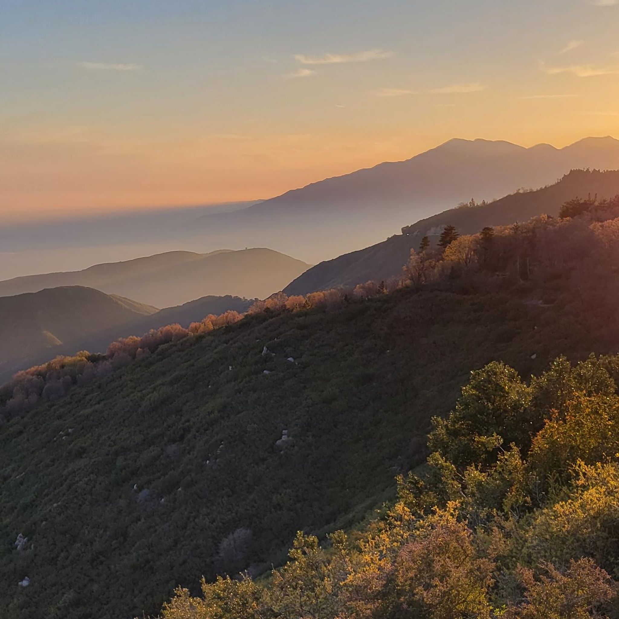
Road Cycling Routes in San Bernardino National Forest
Cycling in San Bernardino National Forest
Other adventures in San Bernardino National Forest


Tips from the Community

Keller Peak sits at an elevation of 7,882 feet. At the top there is the Keller Peak Fire Lookout, which is the oldest fire tower still standing in San Bernardino National Forest.
0
0


At 7,882 feet, Keller Peak takes a sustained effort to get to the top. However, it is worth the effort as the views you get from the top are incredible.
0
0
The Exploration Trail is a non-motorized, family friendly trail. The trail was designed by children along with help from the U.S. Forest Service personnel.
0
0

The Ernie Maxwell Trail winds through the San Jacinto Mountains in Idyllwild. Spanning 5.5 miles, it showcases lush forests, mountain views, and serene meadows, offering a peaceful and invigorating experience for runners.
0
0

The Deer Springs Trail is a popular hiking trail in the Mount San Jacinto State Park, California. It offers stunning views of the surrounding mountains and valley while leading through diverse landscapes, including pine forests, meadows, and rocky terrain.
0
0

Wellman Divide is at a trail junction at 9700 feet above sea level. From here you can choose to go... South on Wellman's Cienaga Trail... East on Round Valley trail, taking you back to the restaurant... Or North on Peak Trail to the San Jacinto Summit.
0
0

With 10,883 feet, Mount San Jacinto is the highest peak in the San Jacinto Mountains. There is a network of hiking trails around the summit and the San Jacinto State Park itself. If the weather turns for the worst, you can find shelter in a little hut close to the summit. You can either take a hike from Idyllwild on the west side of the mountain or Palm Springs on the east side. There is also an aerial tramway you can use to get into the San Jacinto Wilderness. If you feel adventurous, you can cross the mountain range using the Pacific Crest Trail.
0
0
Frequently Asked Questions
How many running routes are available in San Bernardino National Forest?
San Bernardino National Forest offers over 40 dedicated running routes, catering to various skill levels. You'll find a mix of easy, moderate, and challenging paths to explore across its diverse terrain.
What kind of terrain and difficulty can I expect on the running trails?
The terrain in San Bernardino National Forest is highly varied, ranging from pine forests and oak woodlands to rocky mountain paths. You'll encounter significant elevation changes, with routes like San Jacinto Peak via Round Valley Trail featuring over 730 meters of ascent. While many routes are challenging, there are also easier options available for a more relaxed jog.
Are there any family-friendly running trails suitable for kids?
Yes, San Bernardino National Forest offers several family-friendly options. While many routes are challenging, some sections of trails like the Exploration Trail near Keller Peak are non-motorized and suitable for families looking for a less strenuous experience. Look for routes designated as 'easy' for the most suitable paths for children.
Can I bring my dog on the running routes in San Bernardino National Forest?
Many trails within San Bernardino National Forest are dog-friendly, but it's always best to check specific trail regulations before heading out. Generally, dogs are permitted on leash, but some wilderness areas or specific trails might have restrictions. Always ensure your dog is under control and pack out any waste.
What natural features or landmarks can I see while running in the forest?
The forest is rich with natural beauty and landmarks. You can encounter stunning mountain peaks like San Jacinto Peak and Tahquitz Peak, lush pine forests, and serene meadows. Water features such as Big Falls and Bonita Falls, the tallest waterfalls in Southern California, and unique spots like Lost Lake, formed by the San Andreas Fault, also add to the scenic experience.
Are there any circular running routes available?
Yes, many running routes in San Bernardino National Forest are designed as loops or can be enjoyed as out-and-back trails, offering a circular experience. For example, the Ernie Maxwell Scenic Trail provides a scenic loop near Idyllwild, perfect for a varied run.
Do I need a permit to jog or run on trails in San Bernardino National Forest?
For most day-use running, a specific permit is not required. However, some wilderness areas, such as the San Jacinto Wilderness, may require a free wilderness permit for entry, even for day hikes or runs. It's advisable to check with the local ranger station or the official San Bernardino National Forest website for the most current permit requirements, especially if you plan to venture into designated wilderness areas.
What is the best time of year to go running in San Bernardino National Forest?
The best time to run largely depends on the elevation and specific trail. Spring and fall generally offer pleasant temperatures across most elevations. Summer can be hot at lower elevations but ideal for higher mountain trails. Winter running is possible, especially at lower altitudes, but higher trails may be covered in snow and require appropriate gear or be inaccessible.
What do other runners enjoy most about the trails in San Bernardino National Forest?
The running routes in San Bernardino National Forest are highly rated by the komoot community, with an average score of 4.8 stars. Runners frequently praise the diverse landscapes, from dense forests to panoramic mountain views, and the variety of challenges offered. The peaceful and invigorating experience on trails like the Suicide Rock via Deer Springs Trail is often highlighted.
Is public transport available to access the running trails?
Public transport options directly to trailheads within the vast San Bernardino National Forest are limited. Access is primarily by car, and many trailheads offer parking facilities. It's recommended to plan your trip with personal transportation for the most convenient access to the running routes.
Are there any long-distance running options for experienced athletes?
Absolutely. For experienced runners seeking a challenge, sections of the Pacific Crest Trail (PCT) run through the forest, offering extensive mileage and generally gradual climbs. Routes like Keller Peak via Exploration Trail, at nearly 20 km, also provide significant distance and elevation gain for endurance training.
Where can I find viewpoints along the running routes?
Many trails offer spectacular viewpoints due to the mountainous terrain. Routes such as Tahquitz Peak and Lily Rock View provide expansive vistas. You can also find great views of Big Bear Lake and the surrounding mountains from trails like the Cougar Crest Trail. Look for routes with significant elevation gain for the best panoramic outlooks.
Most popular routes in San Bernardino National Forest
Most popular attractions in San Bernardino National Forest

Get inspired with the komoot mobile app


Explore more
Browse the best Running Trails & Routes in other regions.
