Routes

Planner

Features

Updates

App

Login or Signup

Get the App

Login or Signup

Routes
Hikes
United States
California
Santa Barbara County

Los Padres National Forest

The best walks and hikes in Los Padres National Forest

4.6

(445)

7,863

hikers

140

hikes

Hiking in Los Padres National Forest covers a vast and diverse landscape, spanning 1.7 million acres from coastal mountains to inland ranges. The region is characterized by steep, rugged terrain, deep canyons, and a variety of ecosystems including redwood groves, oak woodlands, and semi-desert environments. Its extensive network of trails offers routes at various elevations, from sea level to mountain ridges, with peaks reaching nearly 9,000 feet. The forest features significant water bodies, including 1,134 miles of rivers and streams, and notable geological formations like the Santa Lucia and Santa Ynez Mountains.

Best hiking trails in Los Padres National Forest

  • The most popular hiking route is Sespe River Trail to Willett Hot Springs, a 10.2 miles (16.4 km) trail that takes 4 hours 39 minutes to complete. This route follows a path to a series of hot spring pools.
  • Another top favourite among local hikers is Pfeiffer Falls and Valley View Trail, an easy 2.8 miles (4.5 km) path. The trail ascends through a redwood-filled canyon to a waterfall viewpoint.
  • Local hikers also love the Pine Ridge Trail to Ventana Camp, a 5.9 miles (9.5 km) trail leading through pine and redwood forests, often completed in about 3 hours 8 minutes.
  • Hiking in Los Padres National Forest is defined by rugged coastal mountains, redwood-filled canyons, and trails leading to waterfalls and hot springs. The trail network provides options for various fitness levels, from short, easy walks to more challenging mountain hikes.
  • The routes in Los Padres National Forest are highly rated by the komoot community with an average score of 4.7 stars from more than 240 reviews. More than 3,200 hikers have used komoot to explore Los Padres National Forest's varied terrain.

Last updated: July 7, 2026

4.6

(49)

466

hikers

#1.

Pfeiffer Falls and Valley View Trail

4.48km

01:22

160m

160m

The Pfeiffer Falls and Valley View Trail offers a captivating journey through the heart of Pfeiffer Big Sur State Park, blending the cool, shaded embrace of ancient redwood groves with the expansive, sun-drenched vistas of the Big Sur River Valley. You'll wander past Pfeiffer Redwood Creek, marvel at the 60-foot Pfeiffer Falls, and ascend to the Valley View Overlook, where the Santa Lucia Mountains stretch out before you. This 2.8-mile (4.5 km) hiking route, with its 524 feet (160 metres) of elevation gain, is rated easy and typically takes around 1 hour and 22 minutes, making it a rewarding experience for nearly everyone.

Planning your visit requires a bit of foresight, as this trail has seen significant reconstruction, with a reopening in September 2025 after storm damage; always confirm current park status before heading out. Parking is available within Pfeiffer Big Sur State Park, but it's a popular spot, so arriving early in the day is a smart move to secure a space. This route is a fantastic way to experience two of the park's highlights in one go, providing a diverse and accessible adventure.

What makes this trail particularly notable is its resilience and the unique "two-for-one" experience it offers, combining a waterfall and panoramic views. The trail itself is a testament to nature's recovery, with redwoods showing burn scars from past fires yet continuing to thrive, and new boardwalks and stairs enhancing the journey. The contrast between the lush, shaded redwood canyon and the sunnier oak woodlands on the ascent adds to the diverse beauty, making it a standout option among Big Sur's many trails.

Navigate with device

Send to Phone

Save

Easy

36

hikers

Embark on the Pine Ridge Trail to Ventana Camp, a moderate hike covering 5.9 miles (9.5 km) with an elevation gain of 1560 feet (476 metres). You can expect to complete this route in about 3 hours and 7 minutes. The trail begins with a steady climb through a shaded forest of towering redwoods and Douglas firs, gradually opening up to chaparral and oak woodlands, offering expansive views of the rugged Santa Lucia Mountains before reaching the serene Ventana Camp nestled beside the Big Sur River.

Before you head out, be aware that overnight parking is available for a fee at Big Sur Station. If your plans include using a camp stove, you will need a California Campfire Permit. It is always a good idea to check current conditions, as the trail was reopened on May 2, 2023, after undergoing repairs from winter storm damage.

This route offers a rewarding journey into the heart of the Ventana Wilderness, which is located within Pfeiffer Big Sur State Park. The destination, Ventana Camp, provides a peaceful retreat right by the Big Sur River, making it a notable spot for a break or an overnight stay in this beautiful natural environment.

Moderate
guide_signup
Let us show you the way with the komoot mobile app
With a free komoot account, you can easily find, customize, and navigate endless outdoor adventures.

Sign up for free

5.0

(2)

27

hikers

Embark on the Condor Summit and Vincent Tumamait Trail, a moderate hiking route that spans 9.2 miles (14.7 km) and involves a significant elevation gain of 1812 feet (552 metres). You can expect to complete this journey in about 4 hours and 33 minutes, traversing diverse landscapes from woodlands to sub-alpine pine forests. As you hike, you will encounter expansive panoramic views of the mountainous wilderness, including the distant Transverse Mountains and southern Sierras, offering a truly immersive experience in nature.

Before you head out, be aware that this trail is considered demanding, so prepare for a challenging day with considerable climbing. Snow can linger on parts of the route until mid-spring, sometimes covering sections completely, so check conditions if you plan to visit during those months. Always download a GPS map of the trail to stay on course, and make sure to carry plenty of water to stay hydrated throughout your hike.

This route takes you through the Los Padres National Forest, leading to key highlights like Mount Pinos, also known as Iwihinmu, where you might find the Condor Observation Site. The trail continues onward to Sawmill Mountain, providing even more opportunities to take in the vast, open vistas. It's a journey that connects you with the natural grandeur of the region and its unique ecological features.

Moderate

Embark on a challenging hike along the Salmon Creek Trail to Spruce and Estrella Camps, a difficult route that spans 9.6 miles (15.5 km). You will ascend a significant 2567 feet (782 metres) in elevation, which typically takes around 5 hours and 20 minutes to complete. The journey begins near the impressive 120-foot Salmon Creek Waterfalls, then climbs through open grassy areas and enchanting oak forests, offering expansive westward views of the Pacific Ocean and Highway 1 as you gain elevation. Beyond Spruce Camp, the path follows the rocky Salmon Creek, revealing smaller waterfalls and pools before you reach the shaded Estrella Camp. This trail promises a rewarding experience for those seeking a strenuous workout amidst diverse scenery.

Planning your visit is straightforward, as the trail is open year-round, though it can get busy on weekends. While you generally won't need wilderness permits for overnight camping, remember to secure a California campfire permit if you plan to use a stove. Be aware that poison oak is present along the route, particularly in shadier spots, so wearing long pants is a good idea to protect yourself. Consider starting your hike early to enjoy cooler temperatures and potentially fewer crowds.

This route is a highlight in the Silver Peak Wilderness, known for its rugged beauty and the dramatic contrast between coastal views and forested canyons. The trail's unique progression from the prominent Salmon Creek Waterfalls to the more secluded Estrella Camp, passing through varied ecosystems, makes it a notable adventure. It offers a deep dive into the natural environment of Big Sur, providing a sense of accomplishment as you navigate its demanding terrain and discover its hidden gems.

Hard

Embark on a moderate hike along the Sespe River Trail to Willett Hot Springs, a journey spanning 10.2 miles (16.4 km) with an elevation gain of 941 feet (287 metres). You can expect to spend around 4 hours and 38 minutes exploring the diverse and picturesque scenery of the Sespe Wilderness. The trail takes you through varied terrain, from sandy sections to rolling hills, all framed by dramatic canyon walls. Keep an eye out for the striking white granite outcroppings known as Piedra Blanca near the trailhead, and look forward to a relaxing soak in the natural hot springs at your destination.

This route is suitable for a challenging full-day outing or a comfortable overnight backpacking trip. Be prepared for multiple creek crossings along the Sespe Creek, which can range from simple rock-hopping to wading through knee-deep water. While the trail is generally accessible, always check local regulations for the Sespe Wilderness regarding permits or any seasonal closures before you head out. Planning ahead ensures a smooth and enjoyable experience.

The Sespe River Trail follows the Sespe Creek, which holds the distinction of being a designated National Wild and Scenic River. This designation highlights its unique ecological and scenic value within the rugged wilderness. The journey offers a chance to connect with a pristine natural environment, culminating in the unique reward of the Willett Hot Springs. It's a notable trail in the region for its blend of wilderness challenge and natural relaxation.

Moderate
Sign up for free to see 136 more hikes in Los Padres National Forest.

Get access to more routes and recommendations from other explorers.

Sign up for free

Already have an account?

Our route recommendations are based on thousands of hikes, rides, and runs completed by other people on komoot.

Start today with a free account

Your next adventure awaits.

Login or Signup

Popular around Los Padres National Forest

California Coastal Trail — Following the coastline from Mexico to Oregon

Los Padres Traverse — mountains to sea on the Sierra Madre Road
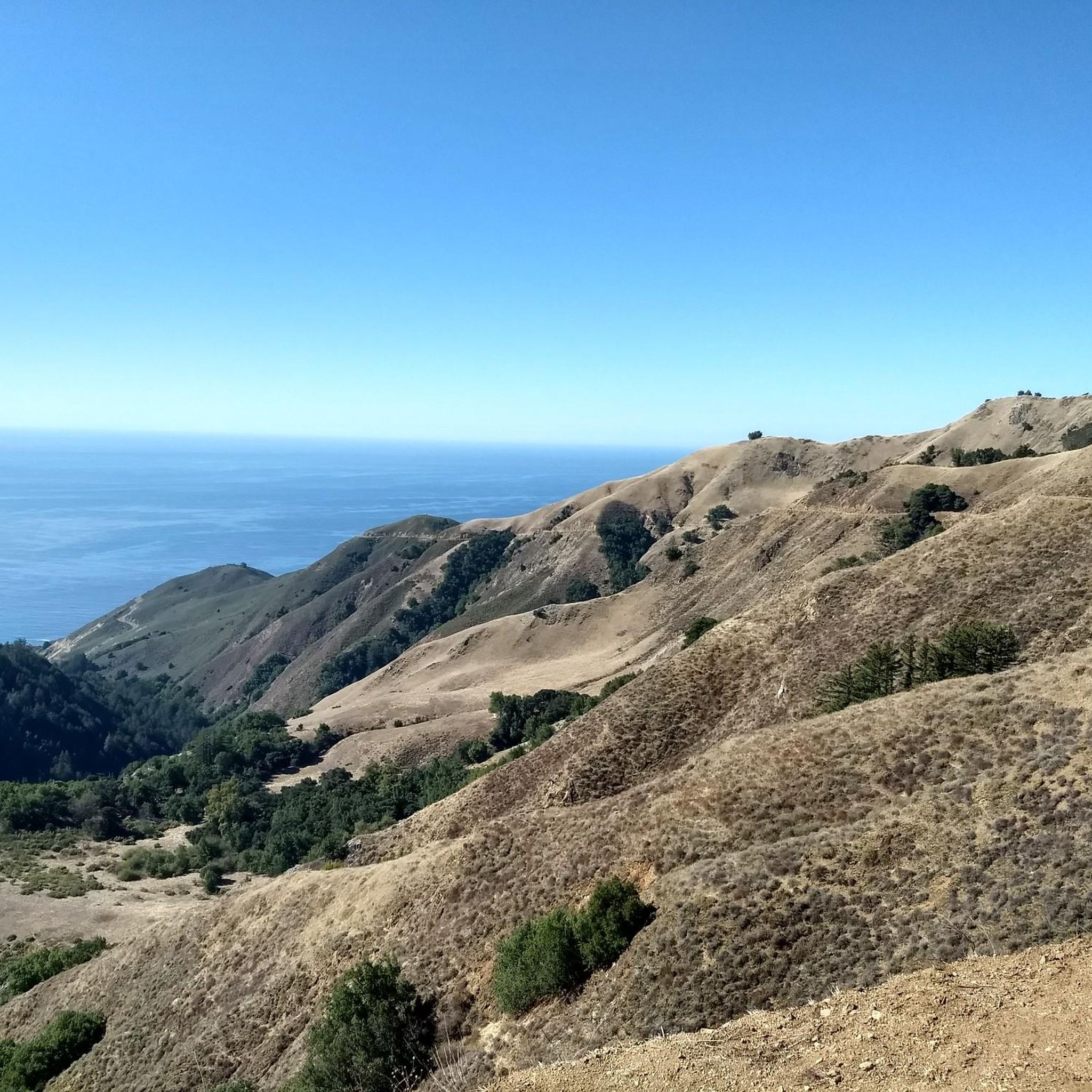
MTB Trails in Los Padres National Forest
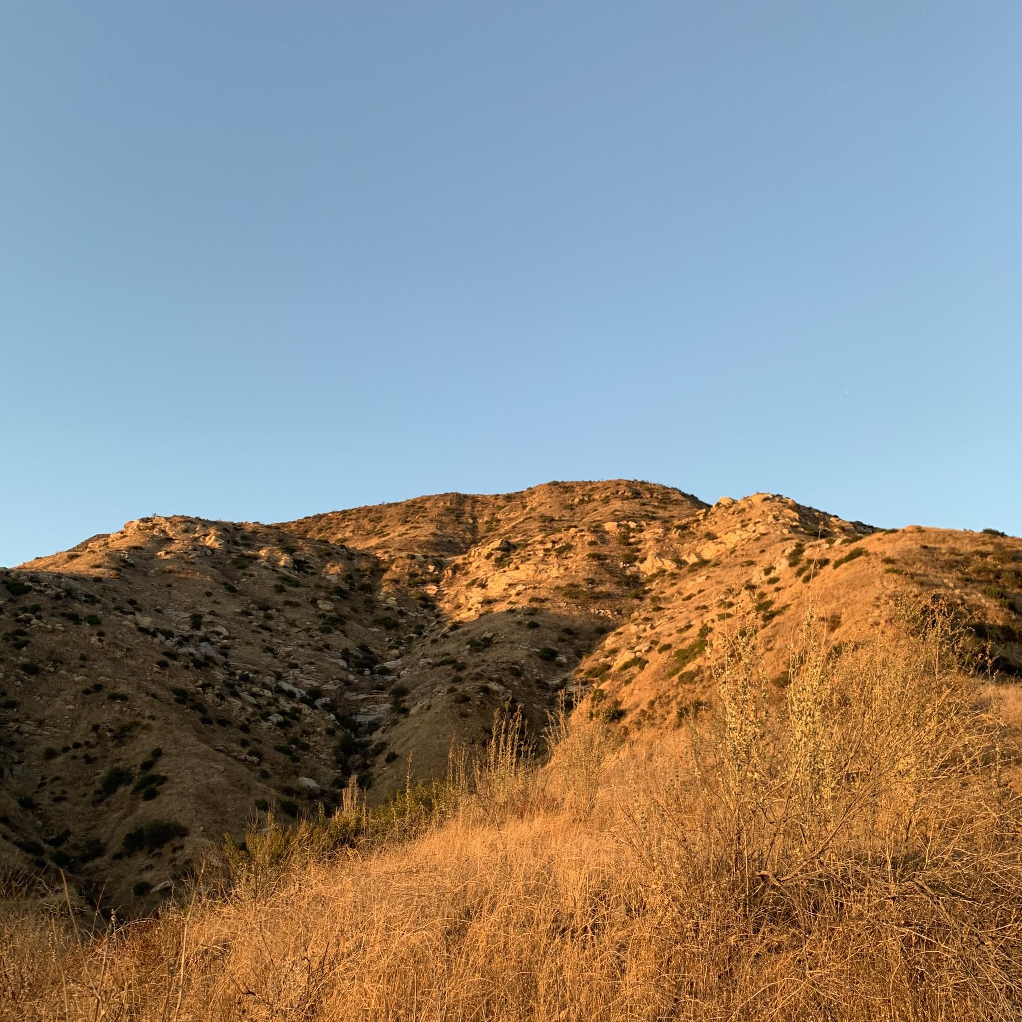
Running Trails in Los Padres National Forest
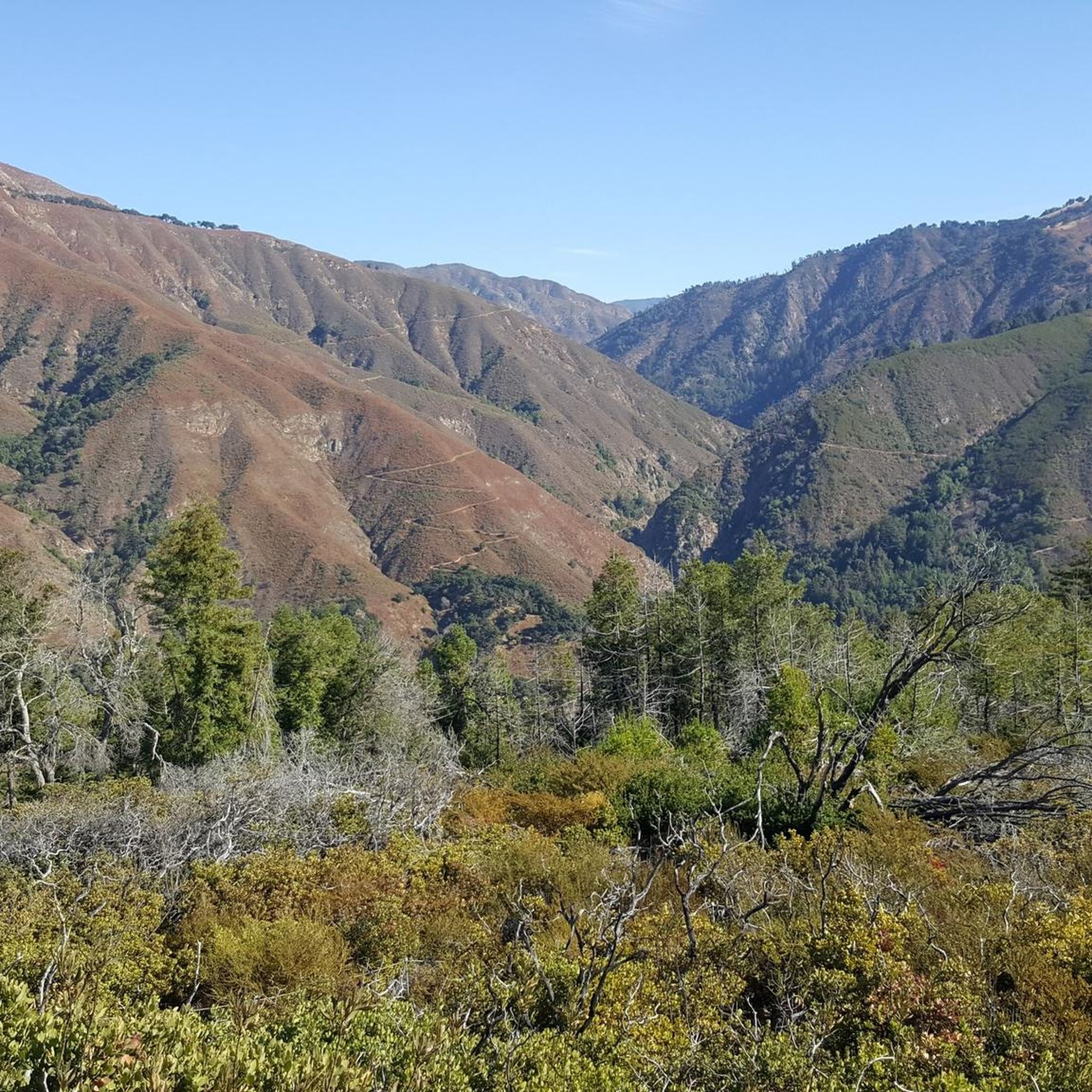
Gravel biking in Los Padres National Forest
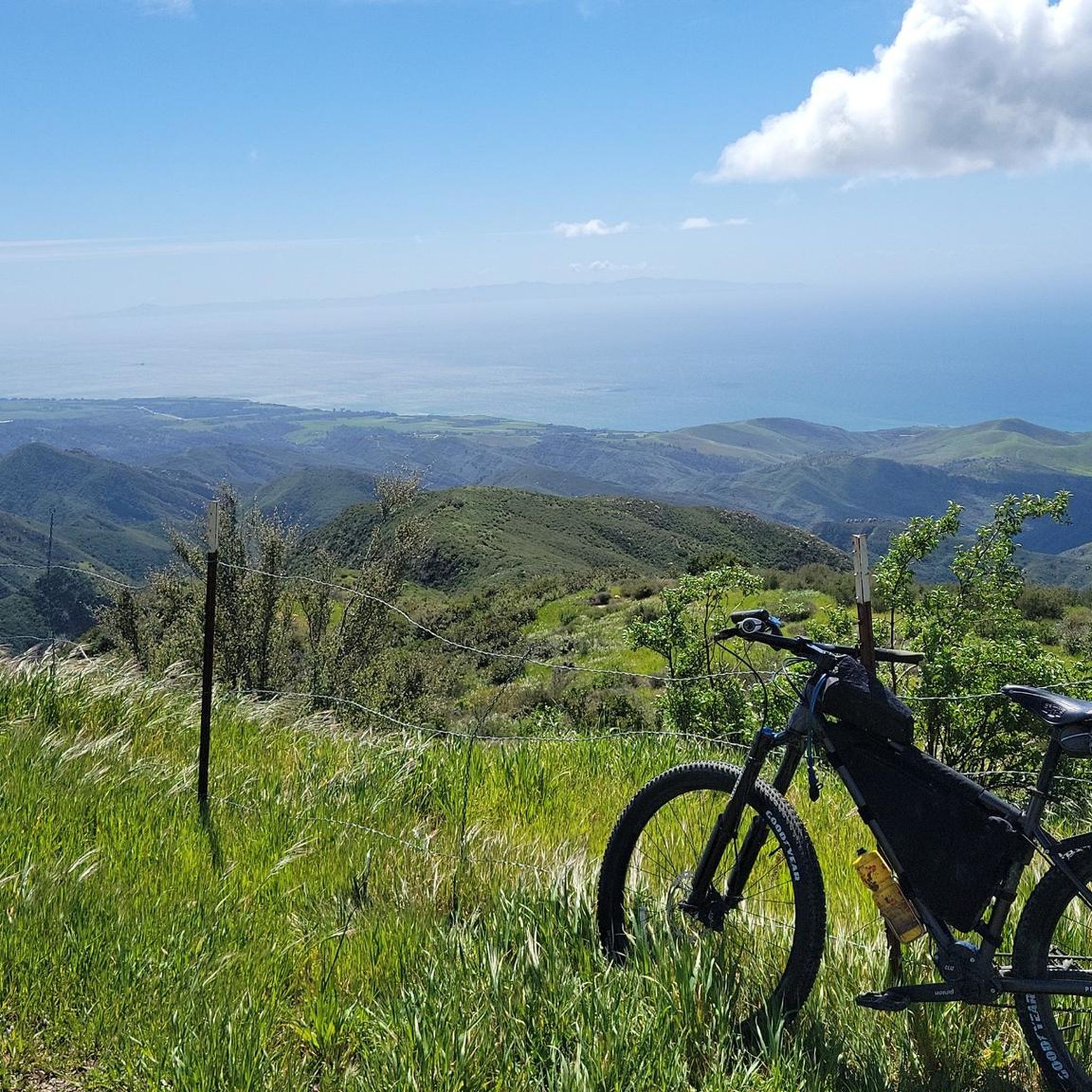
Cycling in Los Padres National Forest
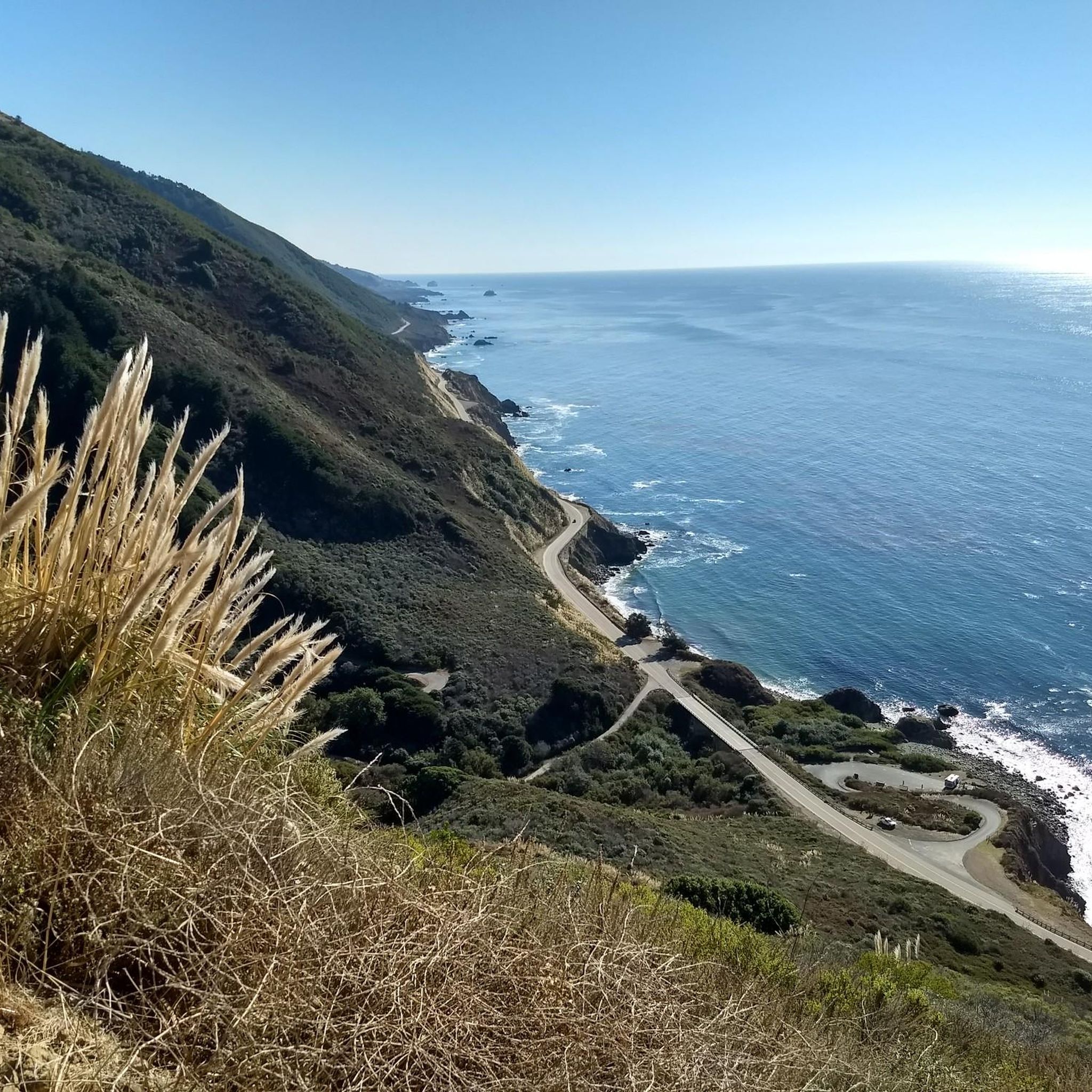
Road Cycling Routes in Los Padres National Forest

Other adventures in Los Padres National Forest

California Coastal Trail — Following the coastline from Mexico to Oregon

Cycling Collection by

Andrus

Tips from the Community

mtm05005
June 26, 2025, Salmon Creek Falls

The Salmon Creek Waterfall is a small, but scenic waterfall. To access it, you need to take a short detour off the Salmon Creek Trail.

0

0

Alex
January 24, 2025, Ventana Camp

Ventana Camp, located off Pine Ridge Trail by hiking up Ventana Camp Trail, is a peaceful retreat by the Big Sur River, near the confluence with Ventana Creek. Accessed via a steep ascent and switchbacks, the camp offers a relaxing atmosphere, with fewer visitors than other nearby camp spots. The 40-acre redwood canyon campground features tent-only sites with picnic tables, fire rings, nearby water faucets, and bathrooms. There are also luxury camping experiences; guests can opt for safari-style canvas tents with premium linens. RVs and trailers are not allowed, and check-in times are 2 pm for camping and 4 pm for glamping, with check-out at 11 am.

0

0

This is the highest point in this area. The views are breathtaking, and you will find the famous Samwill Cairn, the perfect picture spot.

0

0

The way to Mount Pinos can be challenging for some, but the views are rewarding. I would also recommend pushing the effort 2 miles further to reach Samwill Mountain's summit.

0

0

This is the highest point in this area. The views are breathtaking and you will find the famous Samwill Cairn, the perfect picture spot.

0

0

This spot boasts tremendous views of the Big Sur Valley, Andrew Molera State Park and Point Sur. There is a bench to sit, relax, take photos, or just enjoy the scenery.

1

0

Take the fork to the left from here to continue another 300 feet to the Valley View Overlook. Taking a right will lead you to the 60-foot Pfeiffer Falls; however, parts of the trail are currently closed. You can get a nice view of the falls from this location.

0

0

Sue
September 2, 2023, Pine Ridge Trailhead

This trailhead marks the gateway to the Big Sur River corridor, with many beautiful campsites among the redwoods, pine and oak trees that are all first come, first serve. No backcountry/wilderness permit is required. There is a $10 parking fee per calendar day, and water is available at the Big Sur Station.

0

0

Frequently Asked Questions

Are dogs allowed on the trails in Los Padres National Forest?

Yes, dogs are generally welcome on trails in Los Padres National Forest, but they must be on a leash at all times. It's important to keep them under control to protect wildlife and ensure a positive experience for all hikers. Always bring enough water for your pet, especially on warmer days.

Are there any easy, family-friendly hikes in the area?

Absolutely. The forest offers many trails suitable for beginners and families. For a rewarding walk with great scenery, consider the Valley View Overlook via Valley View Trail. It's a relatively short hike that leads to a beautiful viewpoint, making it a great option for an afternoon outing.

Where can I find a trail with a waterfall?

The region is known for its beautiful waterfalls, especially after rainfall. A popular choice is the Pfeiffer Falls Loop, which takes you through a redwood-filled canyon to a lovely waterfall viewpoint. It's an accessible hike that showcases the area's diverse scenery.

Do I need a permit or pass to hike in Los Padres National Forest?

For most day hiking, you do not need a permit. However, an Adventure Pass is required for parking at many trailheads and recreation sites. For overnight backpacking, especially in designated wilderness areas, a wilderness permit is often necessary. Always check the official U.S. Forest Service website for the most current requirements before you go.

What are the trail conditions like, and how can I check for closures?

Trail conditions can vary significantly based on weather and season, with some paths becoming impassable after heavy rains or due to fire damage. It is crucial to check for the latest trail closures, alerts, and conditions on the official Los Padres National Forest website before planning your hike.

Are there any good circular hikes or loops?

Yes, there are several excellent loop trails. For a moderately challenging option with a unique reward, the Montecito Hot Springs loop is a fantastic choice. This trail follows a path to a series of natural hot spring pools, offering a perfect way to relax after your hike.

How many hiking trails are there in Los Padres National Forest?

There are over 90 curated hiking routes available on komoot, covering the vast and varied terrain of the forest. The entire national forest itself contains over 1,200 miles of trails, ranging from easy coastal walks to strenuous mountain backpacking trips, ensuring there's a path for every skill level.

What do other hikers think of the trails in Los Padres National Forest?

The hiking routes in this region are highly regarded by the komoot community, with an average rating of 4.7 out of 5 stars. Hikers frequently praise the stunning diversity of the landscape, from the redwood groves and coastal views to the rugged mountain scenery.

Are there opportunities for backpacking in the forest?

Los Padres National Forest is an excellent destination for backpacking, with numerous long-distance trails and designated wilderness areas. Trails like the Pine Ridge Trail offer multi-day experiences with features like river crossings, redwood groves, and panoramic ocean views. Remember to secure any necessary wilderness permits for overnight stays.

Where can I find a good hike through the forest and redwoods?

For a classic forest immersion experience, the Buzzards Roost Trail loop is a wonderful option. This trail winds through beautiful redwood and oak forests, offering a peaceful escape and scenic views from the top.

What should I pack for a day hike in this area?

For any hike, you should bring plenty of water, snacks, and sun protection, as many trails can be exposed. It's also wise to carry a map, a first-aid kit, and layered clothing, as weather can change quickly in the mountains. Sturdy hiking shoes are a must due to the often rugged and uneven terrain.

When is the best time to see wildflowers?

Spring is the most spectacular time for wildflowers in Los Padres National Forest, typically from late February to May, depending on elevation and rainfall. Trails on Figueroa Mountain are particularly famous for their vibrant displays of poppies and lupines, creating stunning colorful landscapes.

Most popular routes in Los Padres National Forest

Easy hikes in Los Padres National Forest

Most popular attractions in Los Padres National Forest

Places to see

Store rating

Get inspired with the komoot mobile app

With a free komoot account, you can easily find, customize, and navigate endless outdoor adventures.

or

Join komoot Now

Store rating

Explore more

Browse the best Hikes in other regions.

Channel Islands National ParkSanta Ynez MountainsSanta BarbaraSan Rafael MountainsMontecitoMission CanyonGoletaSummerlandDick Smith WildernessIsla VistaIsla VistaSierra Madre MountainsEastern Goleta ValleyToro CanyonCarpinteriaGaviota State ParkSan Rafael WildernessSanta YnezSanta MariaLos OlivosSolvangBuelltonOrcutt

Nearby adventure guides

Things to Do in the Sierra Madre Mountains

Things to Do in San Rafael Wilderness

background

Get ready to conquer new peaks

Sign up for Free

Explore
RoutesRoute plannerFeaturesHikesMTB TrailsRoad cycling routesBikepackingSitemap
Download the app
Follow Us on Socials

© komoot GmbH

Privacy Policy

