The best road cycling routes in Ochoco National Forest
5.0
(1)
103
riders
5
rides
If you've ever tried to plan road cycling in Ochoco National Forest, you know how overwhelming the options can be. With so many roads winding through this vast landscape, it's tough to tell which routes are genuinely worth your time and effort, and which are just filler. We get it – you want the good stuff, the rides that deliver on scenery and challenge without the guesswork. That's exactly why we've put together this guide. Our komoot community has mapped, ridden, and reviewed these routes, so we're here to give you a curated shortlist of the very best, saving you the hassle.
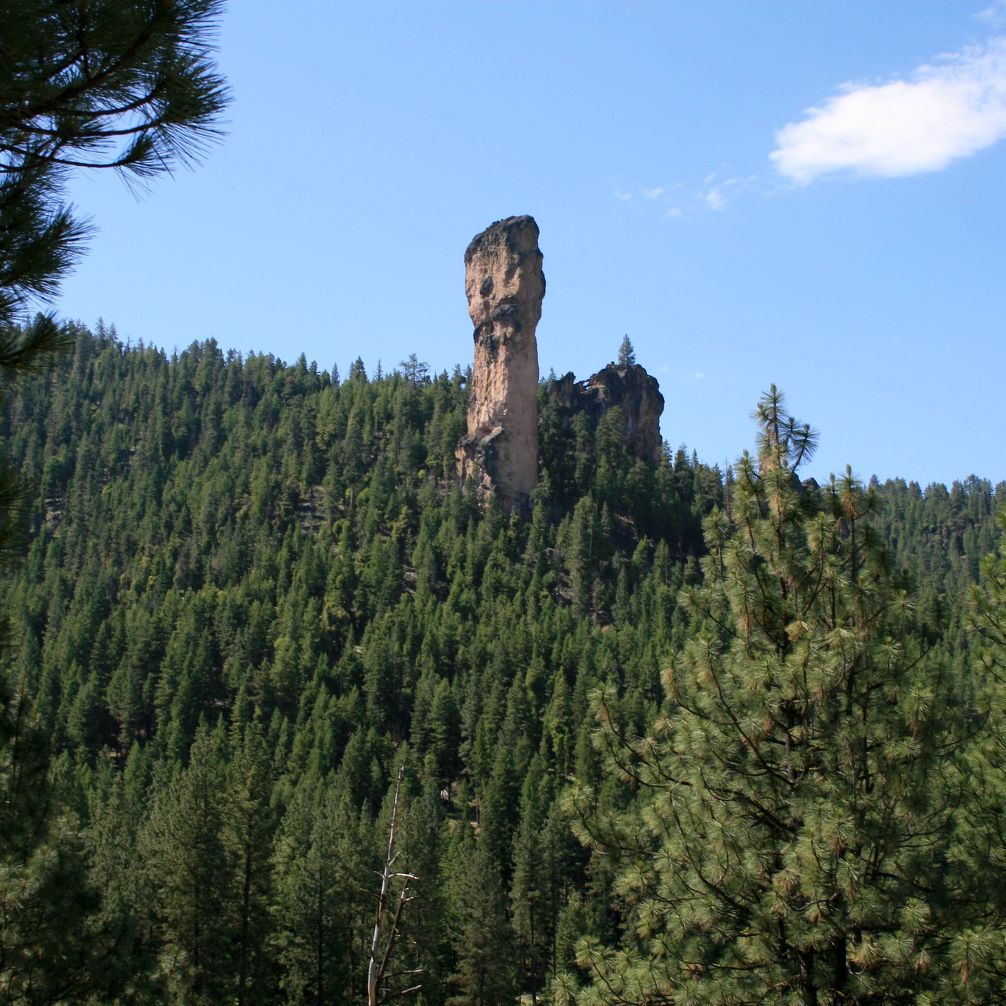
Road cycling in Ochoco National Forest is a truly unique experience, defined by its dramatic shift from dense pine forests and the rolling Ochoco Mountains to striking rimrock formations and high desert terrain. You'll find routes here that offer minimal car traffic, letting you truly soak in the diverse scenery, from old-growth ponderosa pines to western juniper and sagebrush. Whether you're looking for an easy spin or a demanding climb, the varied landscape has something for every road cyclist.
If you only do one ride, make it the Crooked River Canyon Scenic Bikeway loop. This moderate 49.3 miles (79.3 km) route offers incredible views of the Crooked River Gorge and its desert landscapes – a perfect introduction to the region's character. For those seeking a bigger challenge, the Spoke'n Hostel – Sutton Mountain Trailhead loop from Buck Point is a difficult, extensive 107.8 miles (173.5 km) journey with significant elevation gain that's well worth your legs. With more than 90 road cyclists already exploring these routes with komoot, you're in good company. Dive in and discover your next favorite ride!
Last updated: June 1, 2026
19
riders
173km
08:19
2,170m
2,170m
Hard road ride. Very good fitness required. Mostly well-paved surfaces and easy to ride.
9
riders
79.3km
03:51
650m
650m
Embark on the Crooked River Canyon Scenic Bikeway loop, a moderate road cycling adventure spanning 49.3 miles (79.3 km) with 2119 feet (646 metres) of elevation gain, typically completed in about 3 hours and 50 minutes. This route takes you from pastoral river valleys, past llama farms and cattle ranches, into a dramatic canyon carved by the Crooked River, where towering basalt cliffs create a stunning backdrop. Keep an eye out for wildlife like deer and golden eagles as you navigate the gentle curves and climbs, making it a rewarding ride for cyclists seeking diverse scenery.
Prineville serves as an ideal starting and ending point, providing essential amenities like bike shops and places to refuel. Along the route, you'll find restrooms and sometimes water at BLM-managed recreation sites such as Chimney Rock and Palisades Campground. Be aware that cell service can be limited in the canyon, so plan accordingly. The best times to experience the vibrant seasonal colors are spring and fall, though clear winter days also offer brisk, scenic rides.
This bikeway is a highlight of Oregon's pioneering Scenic Bikeways program, showcasing the region's unique geology and natural beauty. The canyon is particularly popular with rockhounds, who often discover agate, jasper, and obsidian. The constant presence of the Crooked River, where you might spot anglers fly-fishing, adds to the serene atmosphere, evoking a sense of the

Sign up for free
5.0
(1)
53
riders
63.6km
03:37
390m
390m
The Crooked River – Prineville Reservoir loop from Prineville is a moderate road cycling route that immerses you in Central Oregon's high desert landscape. You'll pedal through agricultural fields, then enter the dramatic Crooked River Canyon, where towering basalt cliffs rise above the winding river. The scenery transitions to open desert vistas as you approach the tranquil Prineville Reservoir, offering a diverse and engaging ride over 39.5 miles (63.6 km) with 1276 feet (389 metres) of elevation gain, typically taking around 3 hours and 37 minutes.
Before you set off, be aware that cell phone service can be limited along much of the route, so it's wise to download your maps in advance. This ride is best enjoyed in spring and fall when the seasonal colors are most vibrant, though clear winter days can also be quite pleasant. You can find supplies and advice at Good Bike Co. in Prineville before starting your journey.
This loop is part of the Crooked River Canyon Scenic Bikeway, recognized as a
16
riders
107km
05:41
1,970m
1,970m
Embark on a truly challenging road cycling adventure with the Sutton Mountain Trailhead – Spoke'n Hostel loop from Mitchell, a difficult 66.4-mile (106.9 km) route that climbs an impressive 6478 feet (1974 metres) over approximately 5 hours and 40 minutes. This ride immerses you in Central Oregon's high desert, offering a mix of paved and unpaved roads that wind through dramatic geological formations, with stunning views of the Painted Hills and the John Day River valley. You'll experience profound solitude amidst big sagebrush and western juniper, making it ideal for those seeking an escape from crowds and a serious physical test.
Planning your visit requires preparation for a demanding day; tubeless tires are highly recommended due to the prevalence of "goat head thorns" in the John Day River Basin. Mitchell, home to the cyclist-friendly Spoke'n Hostel, serves as an excellent base for this loop. Ensure you carry ample water and check weather conditions, as the high desert can be extreme, especially during summer or winter months.
The region is renowned for its geological wonders, particularly the vibrant, colorful layers of the Painted Hills, one of Oregon's Seven Wonders. This loop offers a chance to explore the Sutton Mountain Wilderness Study Area, managed for primitive recreation and naturalness, providing a unique backdrop for your cycling journey. The Spoke'n Hostel itself is a notable aspect, serving as an oasis for adventurers along major routes like the Trans America Trail.
6
riders
37.8km
01:38
210m
210m
Easy road ride. Great for any fitness level. Mostly well-paved surfaces and easy to ride.
Our route recommendations are based on thousands of hikes, rides, and runs completed by other people on komoot.
Start today with a free account
Your next adventure awaits.
Login or Signup


Tips from the Community

This is a fantastic hostel, with a super kind management. Cyclists should definitely plan to stop here. Also a cafe next door that serves breakfast.
1
0

You can park off of Route 207 near the BLM gate and head up the trail from here. The trail takes you through cow pastures at the start, so be sure to close gates behind you and keep an eye out for cattle!
0
0

As you pedal along the Sisters to Smith Rock Scenic Bikeway, marvel at the majestic peaks of the Three Sisters looming in the distance, their snow-capped summits contrasting against the vibrant greenery of the surrounding landscape. Catch glimpses of the crooked spires of Smith Rock rising dramatically from the earth, creating a striking backdrop against the azure sky.
0
0

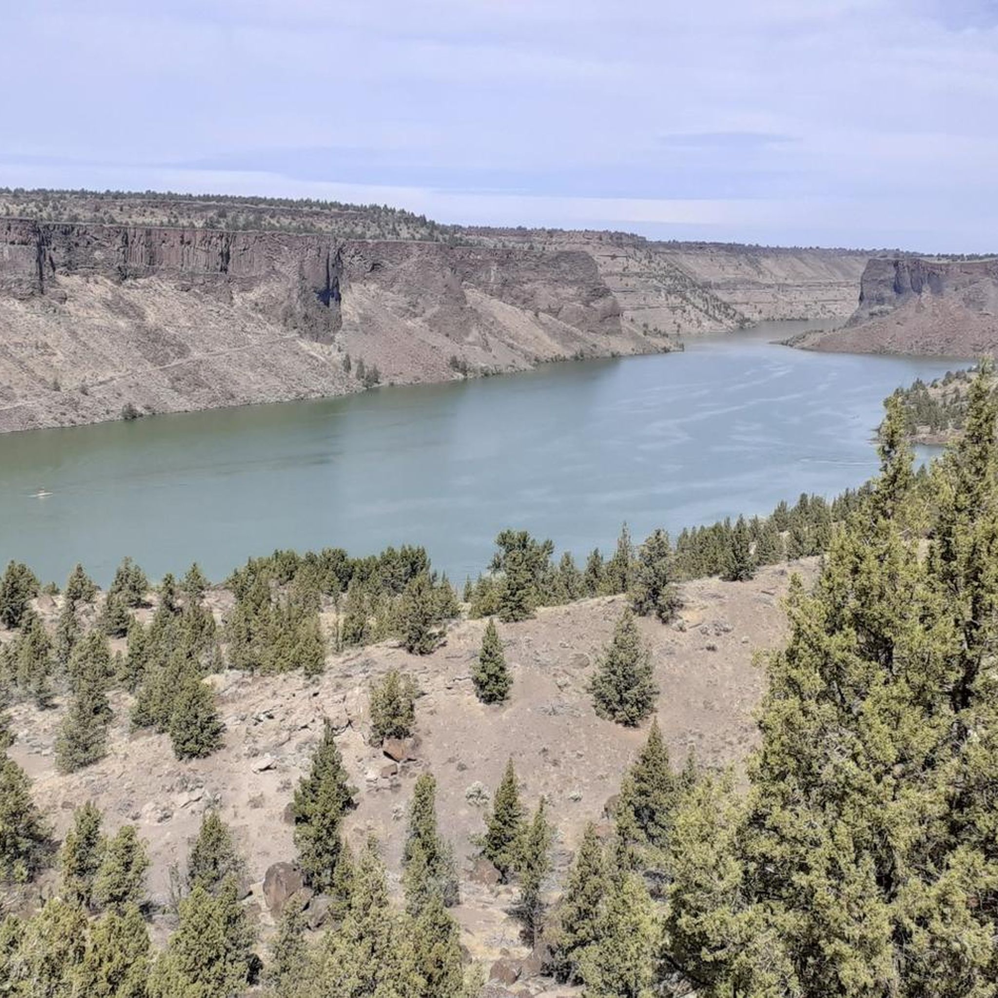
This reservoir is a popular retreat for most of Central Oregon for boating, fishing, or just relaxing by the water in the high desert. The 43-mile shoreline has multiple boat-in primitive campsites, a day-use area with cabins, a full-service campground and a nice swimming area to cool off on a hot day.
0
0
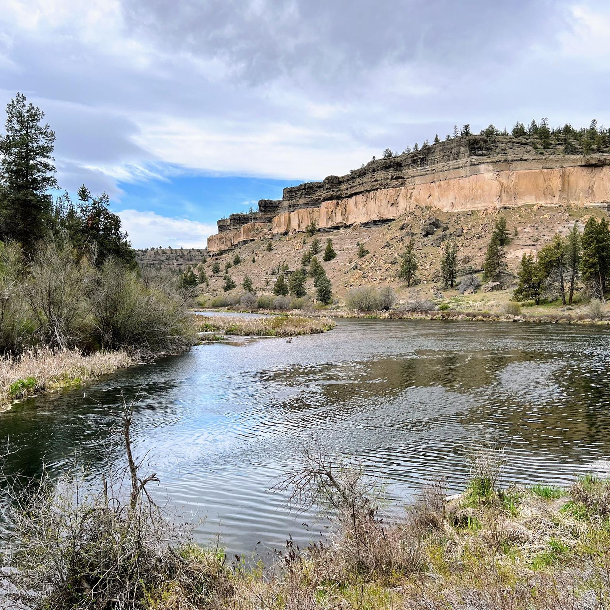
This river is the primary feature of this scenic ride. True to its name, it bows and bends all the way from Bowman Dam to the Prineville Reservoir.
0
0

Cyclists are welcome without this accommodation, which is located in a former church. Several types of accommodation are possible: dormitory, single rooms, camping. Access to sanitary facilities, kitchen, living room with games, DVDs, books, etc. Incomparable atmosphere and hospitality. A stop not to be missed!
1
0
Frequently Asked Questions
How many road cycling routes are available in Ochoco National Forest?
There are 5 road cycling routes available in Ochoco National Forest, catering to various skill levels from easy to difficult.
What is the best time of year for road cycling in Ochoco National Forest?
Late spring through mid-summer is often considered the best time for cycling in Ochoco National Forest. During this period, you can enjoy abundant wildflowers and pleasant weather. Be aware that conditions can vary, so always check local forecasts.
Are there any easy road cycling routes suitable for beginners or families?
Yes, for an easier ride, consider the Roadbike loop from Henkle Butte. This route offers a more gentle experience with less elevation gain, making it suitable for those looking for a relaxed ride.
What kind of terrain can I expect on road cycling routes in Ochoco National Forest?
The terrain in Ochoco National Forest is diverse, featuring a mix of paved sections and gravel roads. You'll encounter everything from rimrock and canyons to dense pine forests and high desert landscapes. Many routes offer long, gradual climbs and scenic descents.
What are some challenging road cycling routes in the area?
For a significant challenge, the Spoke'n Hostel – Sutton Mountain Trailhead loop from Buck Point is a difficult route covering over 173 km with substantial elevation gain. Another demanding option is the Sutton Mountain Trailhead – Spoke'n Hostel loop from Mitchell, which also features considerable climbing.
What natural features and landmarks can I see along the routes?
The region is rich in natural beauty. You can expect to see diverse landscapes including rimrock formations, dramatic canyons like Opal Canyon, and dense ponderosa pine forests. Keep an eye out for wildlife such as deer, antelope, and wild horses. Some routes may also pass by scenic spots like Walton Lake or offer views of peaks like Gray Butte Summit.
Are there any routes that follow a river or offer water views?
Yes, the Crooked River Canyon Scenic Bikeway loop offers beautiful views of the Crooked River Gorge, known for its captivating desert landscapes. Another option is the Crooked River – Prineville Reservoir loop from Prineville, which also traces parts of the Crooked River.
What do other cyclists say about road cycling in Ochoco National Forest?
The komoot community rates road cycling in Ochoco National Forest highly, with an average score of 5.0 stars. Cyclists often praise the minimal car traffic on many roads, the diverse and scenic landscapes, and the opportunity to encounter wildlife.
Are there specific parking areas for cyclists in Ochoco National Forest?
While specific designated cycling parking areas aren't universally marked, many routes start from towns like Prineville or Mitchell, where public parking is available. When planning your ride, check the route details on komoot for suggested starting points, which often indicate convenient parking options.
Are permits required for road biking in Ochoco National Forest?
Generally, no special permits are required for road cycling on designated roads within Ochoco National Forest. However, it's always a good idea to check the official U.S. Forest Service website for any current regulations or alerts before your trip, especially if you plan to venture into specific wilderness areas or use motorized trails with an e-bike.
Can I find food and drink options near the cycling routes?
While the forest itself is remote, towns bordering the Ochoco National Forest, such as Prineville and Mitchell, offer cafes, restaurants, and other amenities where you can refuel before or after your ride. It's advisable to carry sufficient water and snacks, especially on longer routes within the forest.
Most popular routes in Ochoco National Forest
Most popular attractions in Ochoco National Forest

Get inspired with the komoot mobile app


