The best cycling routes in Prescott National Forest
4.5
(18)
296
riders
38
rides
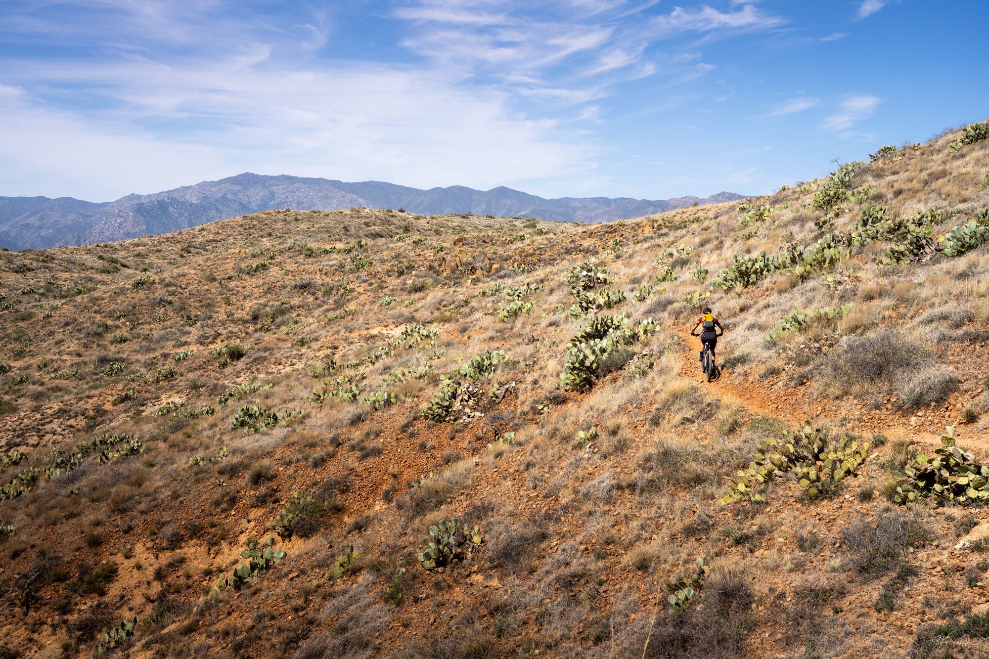
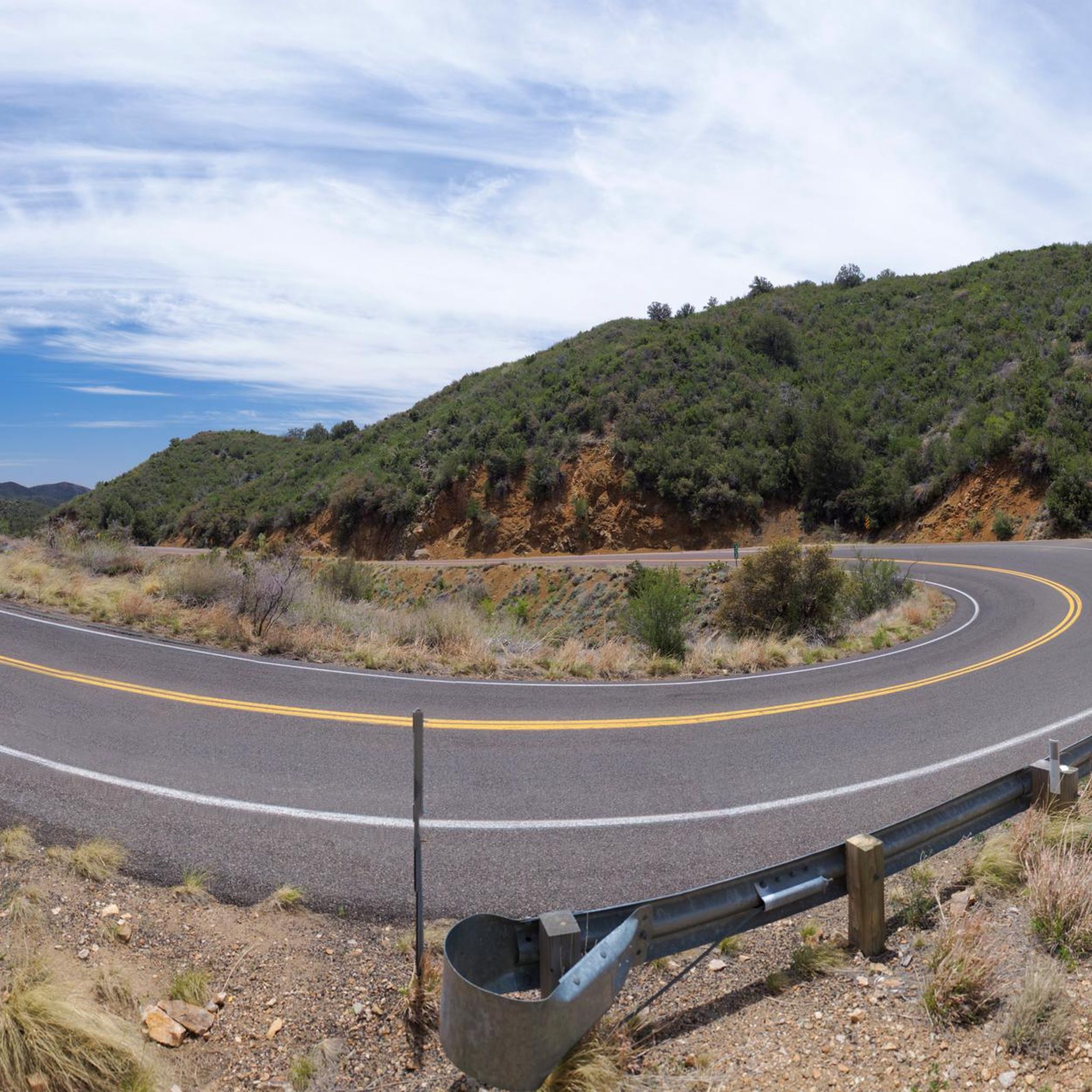
Touring cycling routes in Prescott National Forest traverse a diverse landscape, ranging from 3,000 to 8,000 feet in elevation. This region features varied ecosystems, including Sonoran Desert-like vegetation at lower altitudes and dense Ponderosa pine forests at higher elevations. The forest encompasses several lakes, such as Goldwater Lakes and Lynx Lake, and is characterized by mountain views, including the Bradshaw Mountains.
Best touring cycling routes in Prescott National Forest
- The most popular touring cycling route is Goldwater Lakes Loop,…
Last updated: July 7, 2026
10
riders
11.9km
01:13
240m
240m
Cycle the Goldwater Lakes Loop in Prescott National Forest, a moderate 7.4-mile route with 785 feet of gain, offering scenic lake views.
3
riders
28.5km
02:30
550m
550m
This difficult 17.7-mile touring cycling loop in Prescott National Forest features 1801 feet of elevation gain and scenic mountain views.

Sign up for free
11.4km
01:03
140m
140m
Explore the Salida Gulch and Johns Tank Trail Loop, an easy 7.1-mile route in Prescott National Forest with scenic views.
17
riders
15.7km
01:35
280m
280m
Moderate bike ride. Good fitness required. Mostly paved surfaces. Suitable for all skill levels.
7
riders
11.7km
01:07
150m
150m
Moderate bike ride. Good fitness required. Mostly paved surfaces. Suitable for all skill levels.
Get access to more routes and recommendations from other explorers.
Sign up for free
Already have an account?
Our route recommendations are based on thousands of hikes, rides, and runs completed by other people on komoot.
Start today with a free account
Your next adventure awaits.
Login or Signup

Other adventures in Prescott National Forest

Tips from the Community

This is the Sierra Prieta Overlook near Prescott, Arizona. Gemini AI search showed: "The name "Sierra Prieta" means "murky mountains" in Spanish, a name given by explorer Amiel Weeks Whipple in 1853 who saw the range from a distance. Historically, the area around the Sierra Prieta overlook was important for mining and logging. Today, it's known for recreational activities like hiking and mountain biking along the Sierra Prieta trail system. Historical context Explorer's name: Explorer Amiel Weeks Whipple named the range "Sierra Prieta" in 1853 after seeing it and describing it as "murky mountains". Indigenous history: The Yavapai-Prescott tribe inhabited the area for centuries before conflicts with settlers began in the 1860s. Mining and logging: The region was a center for copper mining and logging, which began in the 1860s. Evidence of early mining can still be seen, such as old shacks. Conservation: The Prescott Forest Reserve was created in 1898 to protect the area, and the Prescott National Forest was established in 1908. Enforcement was needed to combat illegal logging and manage issues like overgrazing. Modern significance Recreation: The Sierra Prieta overlook is now part of a larger network of trails used for hiking and mountain biking, including the Whiskey Off Road race course. Scenic views: The overlook and trails offer panoramic views of the surrounding area, including Thumb Butte, Granite Mountain, and the Bradshaw Mountains."
1
0
Beautiful southside view of Lynx Lake and superb hiking spot.
2
0
One of the most popular outdoor areas in the Prescott, Arizona area.
1
0

Hassayampa Village Lane is a quiet stretch of road. If you want to escape traffic, this road is safe, has nice flowy rollers, and winds past a golf course surrounded by private neighborhoods.
0
0

Trail 367 in Prescott National Forest follows along the banks of Miller Creek while remaining tucked under the trees of the forest. There are multiple viewpoints of Thumb Butte from the path, but the surrounding trails in the area are tackled for their views. This path is mainly used as an access trail and utilized when creating loops with other trails.
1
0

This captivating trail in Prescott showcases intricate Native American rock art. Along the path, marvel at petroglyphs carved into the boulder centuries ago. Images of animals, human figures, and abstract designs reveal a glimpse into the lives of indigenous peoples.
0
0
At an elevation of 5,000 feet, Lynx Lake welcomes a bunch of visitors and different recreationalists every day to its shoreline trails. The eastern side of the lake is known for being rockier and having more technical trails, but it makes up for the slower terrain with better views of the water.
2
0
Lower Goldwater Lake is the smaller of the two reservoirs and is a little bit off the side of the trail. You can see Banning Creek flowing into the lake, which is controlled by a dam. There are paths on both side of the water that offer different perspectives.
0
0
Frequently Asked Questions
How many touring cycling routes are available in Prescott National Forest?
Prescott National Forest offers over 30 touring cycling routes, catering to various skill levels. You'll find 4 easy routes, 13 moderate routes, and 15 difficult routes to explore across its diverse landscapes.
What kind of terrain and elevation can I expect on touring cycling routes in Prescott National Forest?
The terrain in Prescott National Forest is incredibly diverse, with elevations ranging from 3,000 to 8,000 feet. You can expect to cycle through Sonoran Desert-like vegetation at lower altitudes, transitioning to chaparral, piñon pine, juniper, and dense Ponderosa pine forests at higher elevations. This means routes can vary from gentle rollers to significant climbs, offering constantly changing scenery.
Are there any family-friendly touring cycling routes in Prescott National Forest?
Yes, there are several options suitable for families. For an easy ride with scenic vistas, consider the Salida Gulch and Johns Tank Trail Loop. The forest also features over 1,200 miles of well-marked forest roads, many of which are suitable for less experienced riders and offer a quieter cycling experience.
What are some notable natural features or landmarks I can see along the touring cycling routes?
Prescott National Forest is rich in natural beauty and landmarks. You can enjoy picturesque lake views on routes like the Goldwater Lakes Loop, or cycle near Upper Goldwater Lake and Granite Basin Lake. Many routes also offer expansive mountain views, including the Bradshaw Mountains, and you can spot the distinctive Thumb Butte Trail, a popular volcanic formation.
What is the best time of year for touring cycling in Prescott National Forest?
The Central Arizona climate allows most trails in Prescott National Forest to be enjoyed year-round. However, the diverse elevations mean you can find comfortable riding conditions in different seasons. Higher elevation Ponderosa pine forests offer cooler, shaded environments during warmer months, while lower elevations are more pleasant in cooler seasons.
Are there any loop routes for touring cyclists in Prescott National Forest?
Yes, many touring cycling routes in Prescott National Forest are designed as loops. Popular options include the moderate Goldwater Lakes Loop and the more challenging Skull Valley Overlook & Thumb Butte Road loop. Another difficult option is the Lower Goldwater Lake – Upper Goldwater Lake loop from Prescott.
What do other touring cyclists enjoy most about cycling in Prescott National Forest?
The area is highly rated by the komoot community, with an average score of 4.8 stars from over 200 touring cyclists. Reviewers often praise the diverse landscapes, from desert to pine forests, the extensive network of trails and forest roads, and the stunning mountain and lake views that enhance the cycling experience.
Are dogs allowed on touring cycling trails in Prescott National Forest?
Prescott National Forest is generally dog-friendly, and dogs are typically allowed on most trails and forest roads, provided they are kept on a leash. It's always a good idea to check specific trail regulations before heading out, especially for designated wilderness areas or sensitive habitats.
Where can I find parking for touring cycling routes in Prescott National Forest?
Many trailheads and access points throughout Prescott National Forest offer designated parking areas. Starting from downtown Prescott, cyclists can also quickly access forest trails, often finding parking within the city or at trailheads just outside the urban area. For specific routes, check the tour details on komoot for recommended starting points and parking information.
Are there any permits required for touring cycling in Prescott National Forest?
Generally, no special permits are required for touring cycling on most trails and forest roads within Prescott National Forest. However, some specific areas or events might have different regulations. It's always advisable to check the official Prescott National Forest website for the most current information regarding permits or fees, especially if you plan to camp or use specific facilities.
Can I find amenities like cafes or accommodation near the cycling routes?
While the routes themselves are within the forest, the nearby city of Prescott offers a full range of amenities, including cafes, restaurants, and various accommodation options. Many cyclists start their rides from Prescott, making it convenient to access services before or after their tour.
Are there any less-known or 'hidden gem' touring cycling routes in the area?
Beyond the well-known trails, the 1,200 miles of well-marked forest roads offer numerous opportunities for discovering quieter, less-trafficked routes. These roads wind through diverse landscapes and can lead to secluded spots, providing a sense of adventure and discovery for those looking to explore beyond the main trails. Consider exploring areas around Wildwood Estates for a moderate ride.
Most popular routes in Prescott National Forest
Most popular attractions in Prescott National Forest

Get inspired with the komoot mobile app


Explore more
Browse the best Cycling routes in other regions.
