Top 20 Mountain Passes in Inyo National Forest
Best mountain passes in Inyo National Forest are located within a vast wilderness spanning over 2 million acres in the eastern Sierra Nevada. This region features numerous mountain passes that provide access to extensive trail systems and high-elevation terrain. The landscape is characterized by glacier-polished granite, alpine lakes, and meadows. These passes serve as critical waypoints for hikers and offer diverse experiences.
Best mountain passes in Inyo National Forest
- The most popular mountain passes is Kearsage Pass, a challenging…
Last updated: July 10, 2026
Kearsage Pass
Highlight • Mountain Pass
Tip by

Tioga Pass
Highlight • Mountain Pass
Tip by

Sign up now to discover places like this
Get recommendations on the best single tracks, peaks, & plenty of other exciting outdoor places.
Sign up for free
Minaret Vista and summit
Highlight • Viewpoint
Tip by
Donohue Pass
Highlight • Mountain Pass
Tip by
Trail Crest
Highlight • Mountain Pass
Tip by

Sign up for free to discover even more mountain passes in Inyo National Forest.
Sign up for free
Already have an account?
Start today with a free account
Your next adventure awaits.
Login or Signup
Popular around Inyo National Forest

John Muir Trail – Along the legendary trail through the magical Sierra Nevada

The Sierra High Route — Solitude in California's alpine country

Pacific Crest Trail from Mexico to Canada – 4,200 kilometres of wilderness
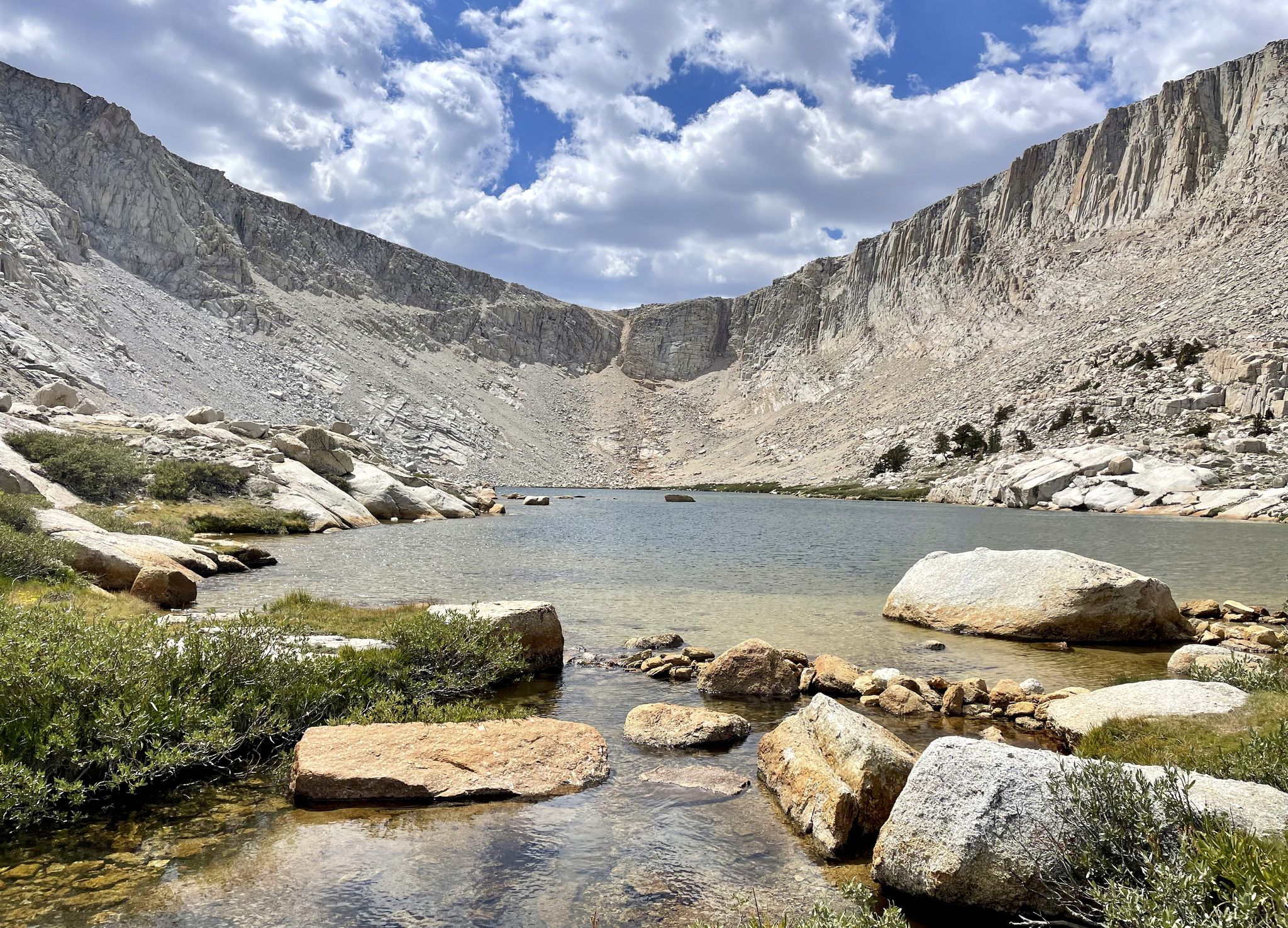
Cottonwood Lakes Loop — Exploring the Golden Trout Wilderness
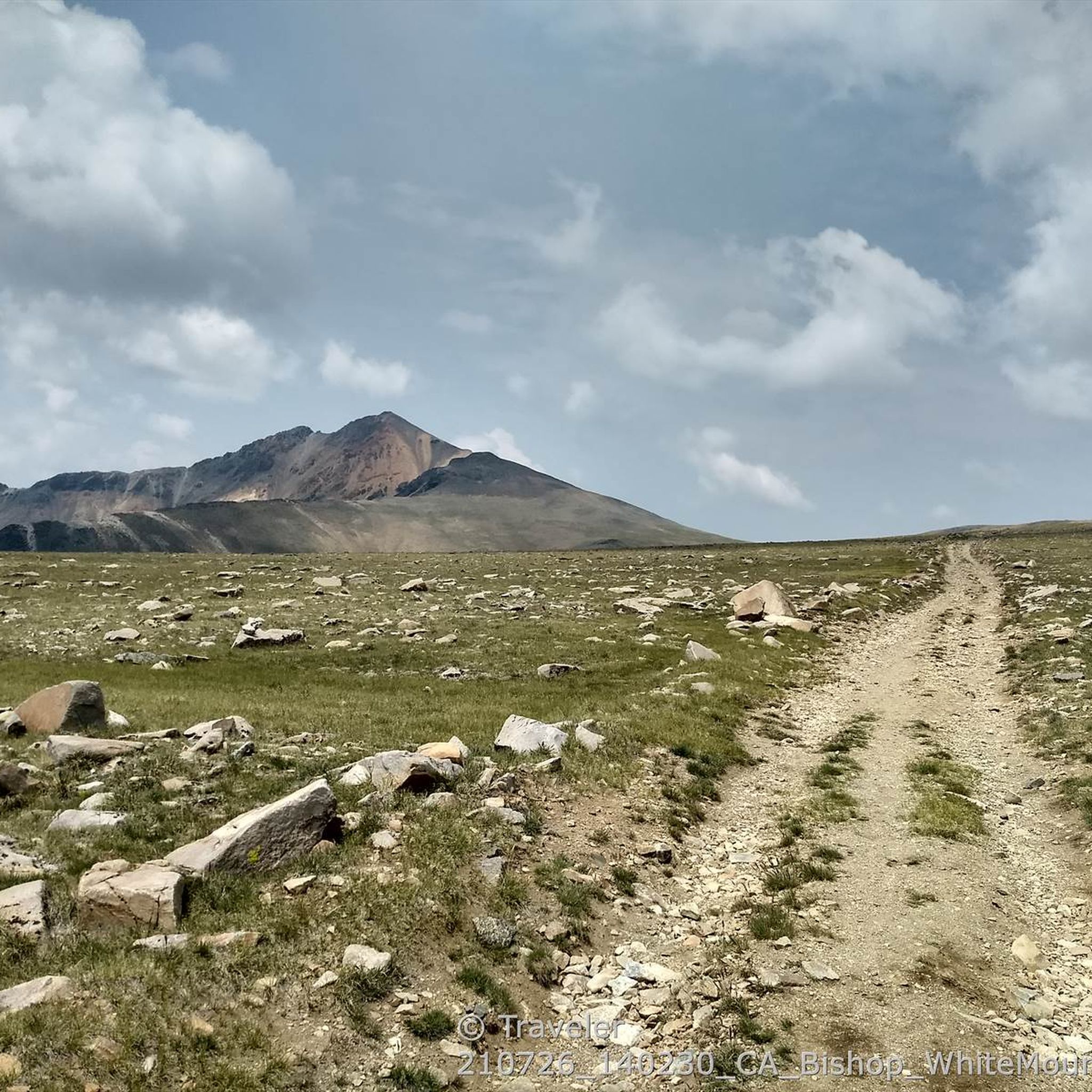
Hiking in Inyo National Forest
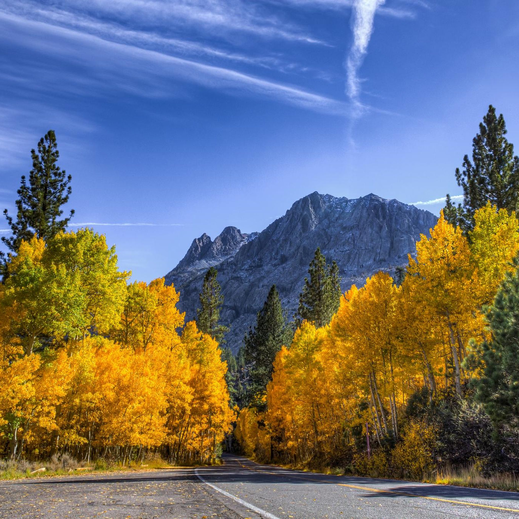
Cycling in Inyo National Forest
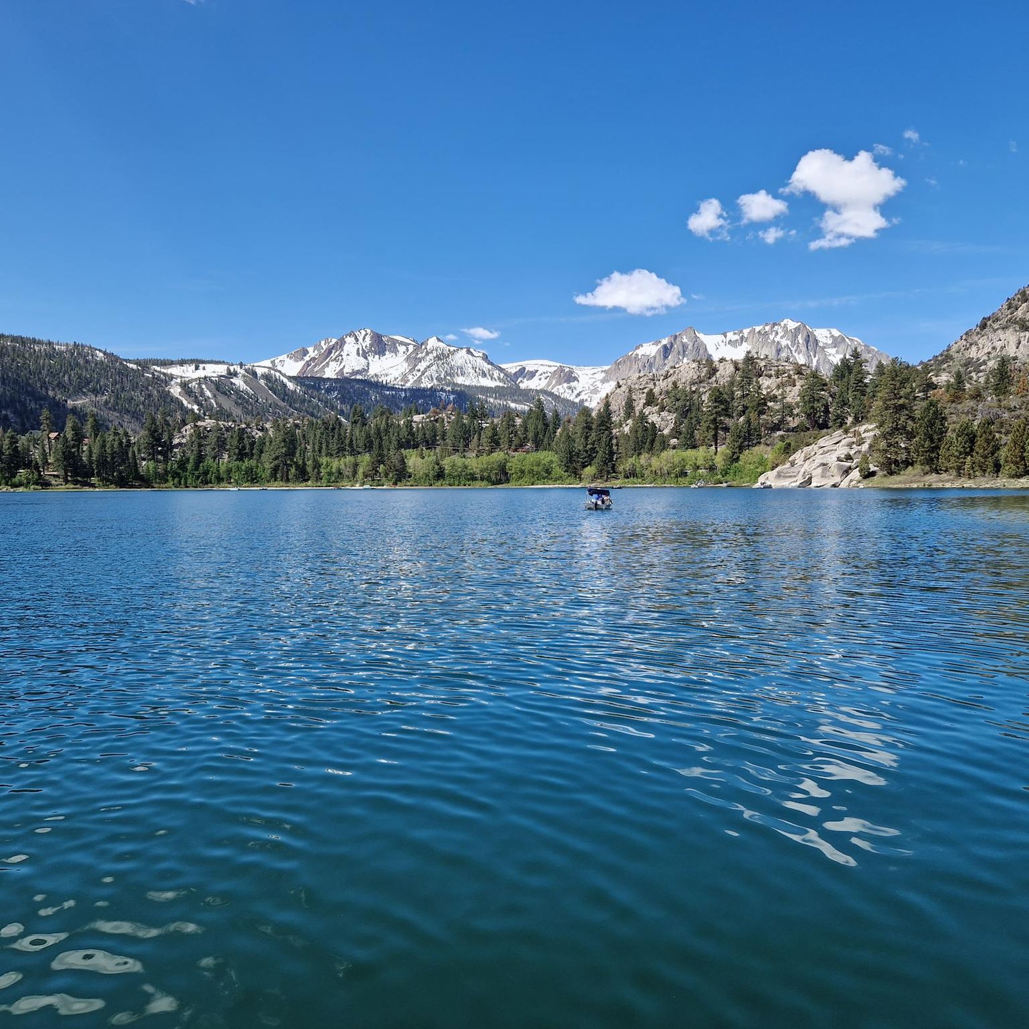
Road Cycling Routes in Inyo National Forest
MTB Trails in Inyo National Forest
Running Trails in Inyo National Forest
Gravel biking in Inyo National Forest
Other adventures in Inyo National Forest


Tips from the Community

Trail Crest is a major junction at 13,600 feet where the High Sierra Trail meets the Mt. Whitney Trail on the eastern side of the Sierra Nevada. It marks the highest pass on the route before summiting Mount Whitney (14,505 feet) or descending toward Whitney Portal (8,360 feet). Located about 2 miles from the Whitney summit and 8.5 miles from Whitney Portal, Trail Crest is the point where High Sierra Trail hikers must decide whether to continue to the summit or begin their long descent to Whitney Portal. Many hikers stash their heavy packs here before the final push to the top, but this comes with risks from marmots, and, unfortunately, thieves. From Trail Crest, the path to Whitney follows a rocky ridge with breathtaking views of both the western and eastern Sierra before reaching the summit. The descent from Trail Crest is long and steep, with countless switchbacks dropping into the Whitney Zone before reaching Whitney Portal, the official end of the High Sierra Trail.
0
0

Minaret Vista offers a stunning view of Mammoth Lakes' iconic skyline, the Minarets, which are part of the Ritter Range. You will recognize them by the sharp, jutting spires that are outstanding. You can also spot Mount Ritter at 13,157 feet and Banner Peak at 12,945 feet (3,945 meters), the two tallest peaks in the range.
0
0

Minaret Summit is a mountain pass with an elevation of 9,265 feet within the Mammoth Ranger District of the Inyo National Forest.
0
0
Kearsarge Pass is the most popular location to get off the Pacific Crest Trail to get supplies in the nearby town of Lonepine or Bishop. You have to hike down several thousand feet to get to Onion Valley and try to get a ride down to the desert floor. In 2023, the road up to Onion Valley might still be closed due to the record snow year.
2
0

You have to conquer this pass if you want your resupply in the city. But don't worry, it's less strenuous the second time! :D
0
1
Donohue Pass is the last major pass along the PCT if you hike northbound. It is snow covered until early summer or late spring. The view into the valley with blue shimmering lakes is stunning. The climb from the north side (hiking southbound) is much steeper than from the south side.
5
0
In the summer months, Highway 120 is the access gateway into Yosemite National Park if you are coming from the Eastern Sierra side. It is closed until late spring and sometimes early summer. In late June 2019, the pass was opened for only one hour each morning and afternoon. So showing up on time is important. Here you can find more about the current opening hours of the pass: https://www.nps.gov/yose/planyourvisit/tiogaopen.htm
1
0
Minaret Vista offers a stunning view of Mammoth Lakes' iconic skyline, the Minarets, which are part of the Ritter Range. You will recognize them by the sharp, jutting spires that are outstanding. You can also spot Mount Ritter at 13,157 feet and Banner Peak at 12,945 feet (3,945 meters), the two tallest peaks in the range. You can either hike here via the Minaret Vista Trail from the Mammoth Lakes Ski area parking lot (2.6 miles roundtrip) or drive up by car. If you take the car, you will have to pay a fee of 8 Dollars for a day pass which is valid for the drive up to Devil's Postpile.
3
1
Frequently Asked Questions
What are some challenging mountain passes in Inyo National Forest?
Several passes in Inyo National Forest offer challenging ascents and high elevations. Kearsarge Pass, at 11,823 feet, is a popular and demanding route, often used by long-distance hikers. Donohue Pass, reaching 11,066 feet, marks a boundary between Yosemite National Park and the Ansel Adams Wilderness and is a critical waypoint on the John Muir and Pacific Crest Trails. Tioga Pass, California's highest highway at 9,945 feet, also presents a significant challenge, especially for cyclists.
Which mountain passes offer the best scenic views?
Many passes in Inyo National Forest are renowned for their breathtaking vistas. Tioga Pass provides iconic views of Half Dome and Clouds Rest, particularly from Olmsted Point, alongside glacier-polished granite and alpine lakes. From Donohue Pass, you can see Mount Ritter, Banner Peak, the jagged Minarets, and the distant Silver Divide. Kearsarge Pass offers spectacular panoramic views of the Kearsarge Pinnacles, Kearsarge Lakes, and the rugged peaks of the Kings-Kern Divide.
Are there mountain passes in Inyo National Forest with historical significance?
Yes, some passes have interesting histories. Donohue Pass was named in 1895 after Sergeant Donohue, who made the first recorded ascent of Donohue Peak. The area around Pine Creek Pass, northwest of Bishop, features an old mine and numerous mining artifacts, including an aerial tram, offering a glimpse into the region's past.
When is the best time to visit the mountain passes in Inyo National Forest?
The best time to visit is generally from late spring to early fall, typically late May to early November, as many high-elevation passes like Tioga Pass are closed in winter due to snow. Late spring and early summer bring strong waterfalls and vibrant wildflowers, while early October offers golden aspens and crisp alpine air. Always check current road and trail conditions before planning your trip.
What natural features can I expect to see around these mountain passes?
The mountain passes in Inyo National Forest are surrounded by diverse natural beauty. You'll encounter glacier-polished granite, crystal-clear alpine lakes such as Tenaya Lake and the Kearsarge Lakes, and expansive meadows like Tuolumne Meadows. The landscape also features dramatic mountain peaks, vibrant wildflowers in season, and diverse wildlife, including marmots.
Are there any family-friendly viewpoints or passes in the area?
While many passes are challenging, Minaret Vista offers a stunning, family-friendly viewpoint of the iconic Minarets, Mount Ritter, and Banner Peak. It's accessible by car (with a fee) or via a moderate 2.6-mile roundtrip hike from the Mammoth Lakes Ski area parking lot, making it suitable for families.
What outdoor activities can I do near the mountain passes in Inyo National Forest?
The region around Inyo National Forest's mountain passes is a hub for outdoor activities. You can find numerous hiking opportunities, including easy trails like the Schulman Grove Discovery Trail or more challenging routes like the Big Pine Lakes Trail. Road cycling is also popular, with routes such as the June Lake Loop offering scenic rides. Many passes also serve as access points for backpacking and long-distance trails like the John Muir Trail and Pacific Crest Trail.
Which mountain passes are less crowded for a quieter experience?
If you're seeking a quieter experience, Pine Creek Pass is noted for being less crowded than some other trailheads in the Sierra Nevada. It offers access to high-altitude lakes like Pine Lake and Honeymoon Lake, along with historical mining artifacts, providing a serene environment away from the busiest areas.
What kind of wildlife can be seen near the mountain passes?
The high country around the passes is home to diverse wildlife. On Donohue Pass, hikers frequently encounter marmots and other diverse wildlife. Tioga Pass and Tuolumne Meadows are also excellent for wildlife sightings, especially in late spring and early summer.
Do I need permits to hike or camp near these mountain passes?
Yes, wilderness permits are generally required for overnight trips into the backcountry of Inyo National Forest, Yosemite National Park, and other wilderness areas accessed via these passes. It's advisable to check with the specific national park or forest service office for the most current permit requirements and regulations for your planned route, as rules can vary and quotas may apply.
How accessible is Tioga Pass and what should I know about visiting?
Tioga Pass (Highway 120) is California's highest highway and serves as a crucial access point to Yosemite National Park's alpine high country. It is typically open from late May to early November, but exact dates depend on snow conditions. Always check the current opening hours and conditions on the Yosemite National Park website before your visit, as closures can occur. There is a toll booth for entry into Yosemite National Park.
Are there opportunities for long-distance hiking near the passes?
Absolutely. Several passes are integral to long-distance hiking. Donohue Pass is a critical waypoint on both the John Muir Trail (JMT) and the Pacific Crest Trail (PCT). Kearsarge Pass is a popular resupply detour for hikers on the JMT and PCT, providing access to the vast Kings Canyon backcountry. Trail Crest is also a major junction for those on the High Sierra Trail and Mount Whitney Trail.
Most popular routes in Inyo National Forest
Most popular attractions in Inyo National Forest

Get inspired with the komoot mobile app


Explore more
See even more epic mountain passes by checking out these guides in Inyo National Forest:
