The best walks and hikes around Suujärvi
4.7
(20)
215
hikers
10
hikes
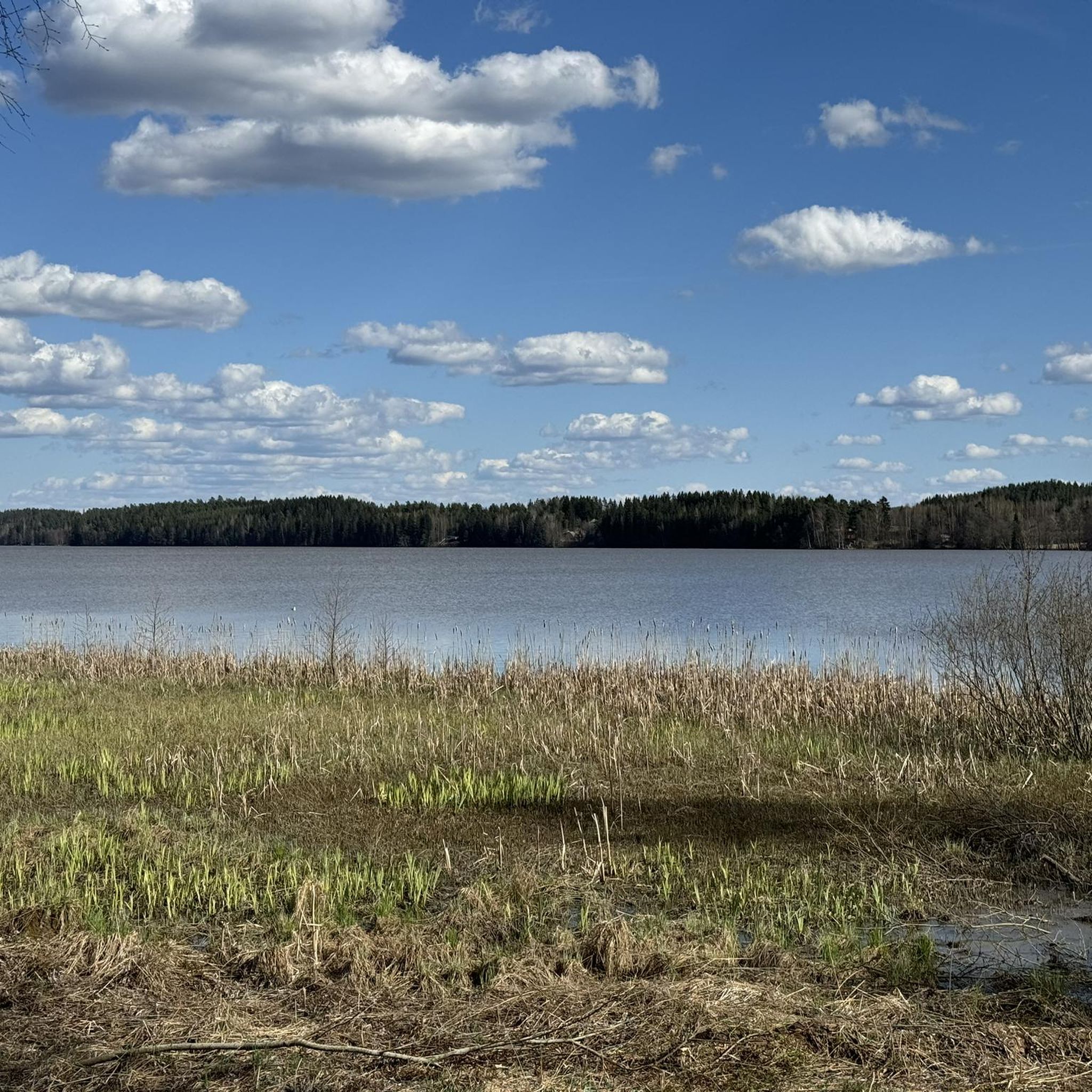
Hiking around Suujärvi, located in Tammela within the Kanta-Häme region of Finland, offers diverse landscapes for outdoor activities. The area features significant ridge systems like Kaukolanharju, numerous lakes including Suujärvi and Ruostejärvi, and varied forests and mires. These geological formations, shaped by the last ice age, provide a range of terrains for hikers. The region is integrated into the Saari Folk Park, offering well-maintained trails.
Best hiking trails around Suujärvi
- The most popular hiking route is Suujärvi trail with observation…
Last updated: July 2, 2026
4.7
(6)
48
hikers
4.34km
01:19
10m
10m
Easy hike. Great for any fitness level. Easily-accessible paths. Suitable for all skill levels.
4.0
(1)
4
hikers
Easy hike. Great for any fitness level. Easily-accessible paths. Suitable for all skill levels.

Sign up for free
5
hikers
Easy hike. Great for any fitness level. Easily-accessible paths. Suitable for all skill levels.
5
hikers
Easy hike. Great for any fitness level. Easily-accessible paths. Suitable for all skill levels.
5
hikers
Moderate hike. Good fitness required. Easily-accessible paths. Suitable for all skill levels.
Get access to more routes and recommendations from other explorers.
Sign up for free
Already have an account?
Our route recommendations are based on thousands of hikes, rides, and runs completed by other people on komoot.
Start today with a free account
Your next adventure awaits.
Login or Signup


Tips from the Community

The shelter with fire pit offers a great view of the lake.
0
0
Direct connection between the Eerikkilä Sport and Outdoor Resort and Ruostejärvi beach. Nice option for a circular hike at the lake shore with beautiful views from the bridge.
0
0
Beautiful, sandy beach and clear water. A nice place for a rest.
0
0

Small kiosk on the beach with seating. Right next to the parking lot
0
0
Beautiful sandy beach with parking, changing rooms, hiking trails, café, kiosk and supervised diving tower!
0
0
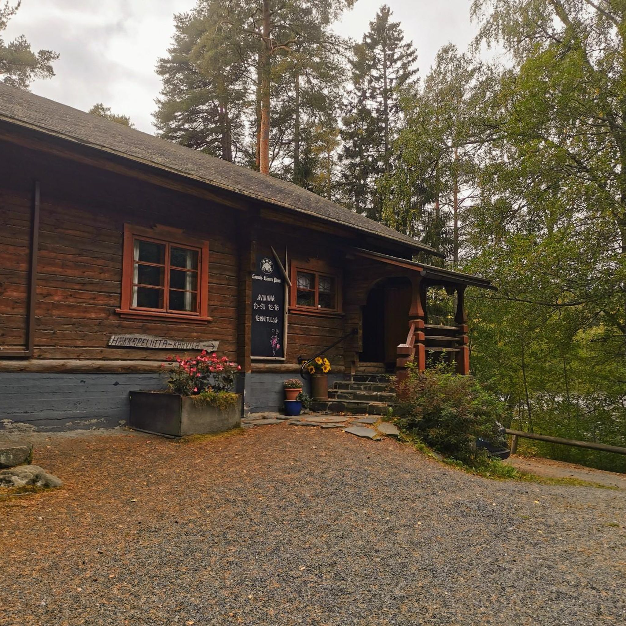
small museum, freely accessible, with all kinds of ancient utensils and ancient boats
0
0

It's just as rough as it looks in the picture, very nice views though.
1
0
Opens from 12:00 to 18:00 during summer time. Great views over the lake below and some small islands.
1
0
Frequently Asked Questions
What types of landscapes can I expect to see while hiking around Suujärvi?
The Suujärvi area, part of the Häme Lakeland, offers a diverse landscape shaped by the last ice age. You'll encounter significant ridge systems like Kaukolanharju, numerous lakes including Suujärvi and the clear-water Lake Ruostejärvi, and varied forests and mires. These features create picturesque views and a range of terrains for hikers.
Are there easy hiking trails suitable for beginners or families in Suujärvi?
Yes, Suujärvi is very welcoming for beginners and families. Most of the trails are rated as easy. For example, the Suujärvi trail with observation tower – Saari folk park, Tammela is an easy 4.3 km route that includes access to the Kaukolanharju scenic tower. Another great option is the Kiosk at Saaren Kansanpuisto – Pitkäranta Beach loop from Honkisaari, a 3.1 km easy trail through Saari Folk Park.
Are there any longer or more challenging routes for experienced hikers?
While most trails around Suujärvi are easy, there are moderate options for those seeking a bit more challenge. The Ruostejärvi, ridge and bridge – Ruostejärvi picnic area loop from P1 is a moderate 8.0 km path that explores Lake Ruostejärvi and its surrounding ridge system. Additionally, Suujärvi serves as a gateway to longer routes like the Häme Ilves Trail, which connects to Liesjärvi and Torronsuo National Parks for extended treks.
What are some notable attractions or viewpoints along the hiking trails?
Hikers can enjoy several notable attractions. The Kaukolanharju Watchtower offers panoramic views of the surrounding lake district, recognized as one of Finland's most beautiful scenic areas. You can also visit Pitkäranta Beach for lakeside relaxation or explore the Määrlammi–Suujärvi–Kuivajärvi Loop within Saari Folk Park.
Are there any circular walking routes available in Suujärvi?
Yes, many of the trails around Suujärvi are designed as loops, making them convenient for hikers. Examples include the easy Kiosk at Saaren Kansanpuisto – Pitkäranta Beach loop from Honkisaari and the moderate Ruostejärvi, ridge and bridge – Ruostejärvi picnic area loop from P1. These circular paths allow you to start and end at the same point, often near parking or facilities.
What do other hikers enjoy most about the trails in Suujärvi?
The trails in Suujärvi are highly rated by the komoot community, with an average score of 4.7 stars. Hikers often praise the well-maintained paths within Saari Folk Park, the stunning views from the Kaukolanharju Watchtower, and the serene beauty of the clear-water lakes like Ruostejärvi. The variety of landscapes, from ridges to forests and mires, is also frequently highlighted.
Can I find places to eat or get refreshments near the hiking areas?
Yes, there are options for refreshments. For instance, the Hakkapeliitta Café is a highlight in the area, and you can find a route like Pitkäranta Beach – Hakkapeliitta Café loop from Kaukola that incorporates a visit. The Saari Folk Park also often has kiosks or facilities available, especially during peak seasons.
Are there opportunities for swimming or other water activities after hiking?
Absolutely. The region is rich with lakes, and many offer opportunities for swimming. Lake Ruostejärvi is known for its clear water and sandy bottom, making it ideal for a refreshing dip. Some areas, like Pitkäranta Beach, even feature shallow sandy beaches, piers, and diving platforms, perfect for cooling off after a hike.
What is the best time of year to go hiking in Suujärvi?
The best time for hiking in Suujärvi is typically from spring through autumn (May to October). During these months, the weather is generally pleasant, and the trails are clear. Summer offers lush greenery and opportunities for swimming, while autumn brings beautiful fall foliage. Winter hiking is also possible with snowshoes or skis, but requires appropriate gear and conditions.
Are the hiking trails in Suujärvi dog-friendly?
Many trails in Finnish national and folk parks, including those around Suujärvi, are generally dog-friendly, provided dogs are kept on a leash. It's always recommended to check specific park regulations or trail signs for any restrictions, especially in protected areas or near sensitive wildlife habitats. Ensure you clean up after your dog to maintain the natural beauty of the area.
How many hiking routes are available in the Suujärvi area?
There are at least 10 distinct hiking routes available around Suujärvi, catering to various preferences. The majority of these, 8 routes, are classified as easy, while 2 are considered moderate, offering options for different fitness levels and experiences.
Are there any trails that offer unique geological insights?
Yes, the landscape around Suujärvi is a testament to the last ice age. Hiking along the Kaukolanharju ridge system, for example, allows you to experience formations created by glacial rivers approximately 10,000 years ago. The interplay of water and land, with ridges extending even beneath lake surfaces, offers a unique geological perspective.
Most popular routes around Suujärvi
Most popular attractions around Suujärvi

Get inspired with the komoot mobile app


Explore more
Browse the best Hikes in other regions.
