The best cycling routes around Harrison Lake
4.9
(12)
29
riders
5
rides
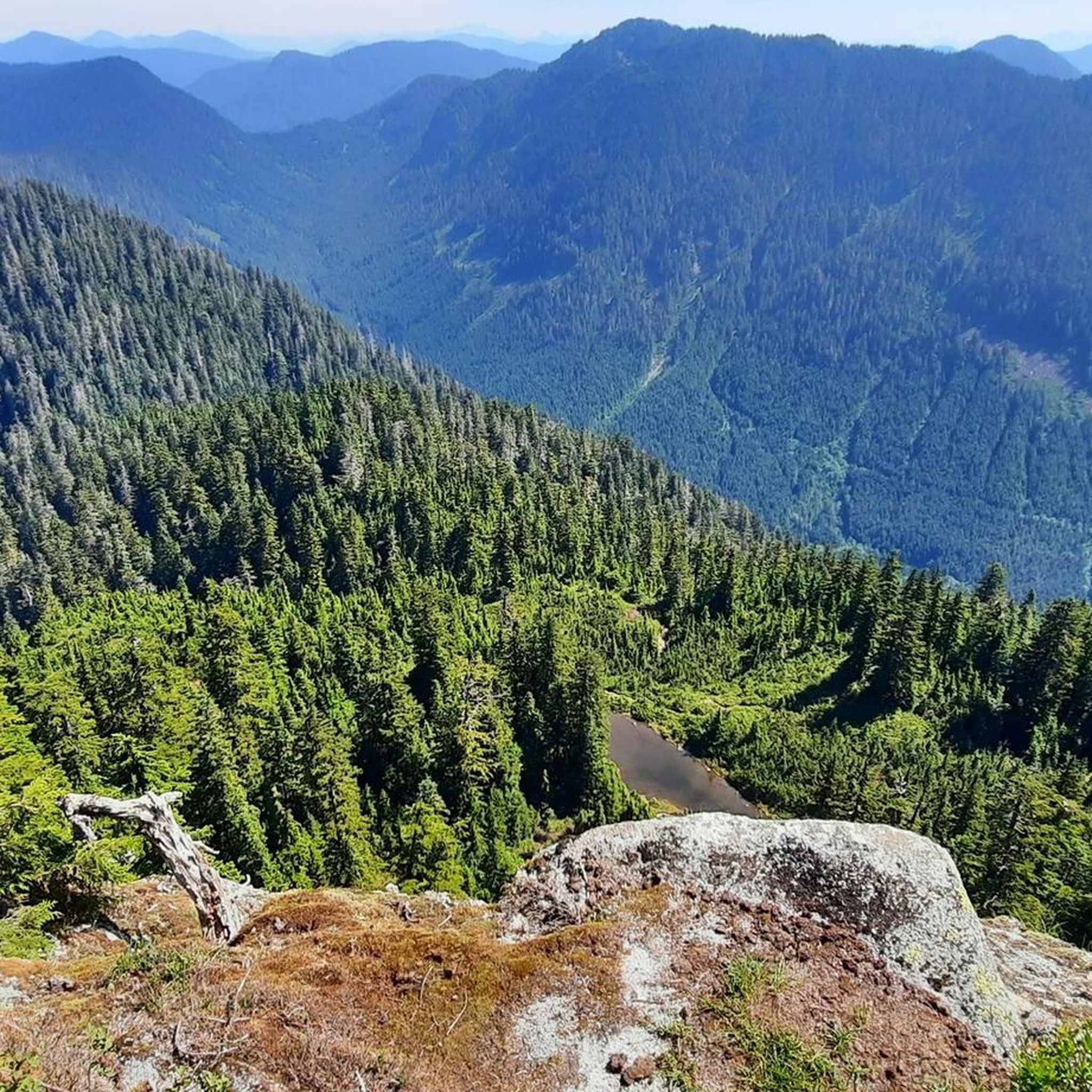
Touring cycling routes around Harrison Lake are characterized by a diverse landscape, featuring the expansive glacier-fed Harrison Lake flanked by the Lillooet and Douglas Mountain Ranges. The region includes the Harrison River, lush forests, and the agricultural Fraser Valley countryside. Cyclists can find routes ranging from serene lakeside paths to trails exploring river valleys and rural areas. This varied terrain provides options for different skill levels, from gentle, paved roads to more challenging unpaved segments.
Best touring cycling routes around…
Last updated: August 20, 2026
4.8
(8)
7
riders
23.9km
01:21
50m
50m
Easy bike ride. Great for any fitness level. Mostly paved surfaces. Suitable for all skill levels.
5.0
(1)
1
riders
16.5km
00:58
50m
50m
Easy bike ride. Great for any fitness level. Mostly paved surfaces. Suitable for all skill levels.

Sign up for free
5.0
(3)
14
riders
29.3km
01:53
30m
30m
Easy bike ride. Great for any fitness level. Mostly paved surfaces. Suitable for all skill levels.
1
riders
64.5km
04:15
170m
170m
Moderate bike ride. Good fitness required. Mostly paved surfaces. Suitable for all skill levels.
6
riders
22.9km
01:34
30m
30m
Easy bike ride. Great for any fitness level. Mostly paved surfaces. Suitable for all skill levels.
Our route recommendations are based on thousands of hikes, rides, and runs completed by other people on komoot.
Start today with a free account
Your next adventure awaits.
Login or Signup
Popular around Harrison Lake

Tips from the Community

Browne Creek Wetlands is a small, protected marsh and riparian habitat along Browne Creek. The area is key in filtering water and is easy to explore via a network of flat gravel paths and wooden boardwalks. Visitors come here for birdwatching, strolling, running, or biking.
0
0

This was taken on a crisp sunny day in mid April.
0
0


Frequently Asked Questions
What kind of touring cycling routes can I expect around Harrison Lake?
The Harrison Lake region offers a diverse range of touring cycling routes. You'll find everything from serene lakeside paths and gentle, paved roads suitable for all fitness levels to more challenging routes with unpaved segments and significant elevation gains. The landscape features the expansive glacier-fed Harrison Lake, flanked by the majestic Lillooet and Douglas Mountain Ranges, the Harrison River valley, lush forests, and the agricultural Fraser Valley countryside.
Are there any easy touring cycling routes suitable for beginners or families?
Yes, there are several easy routes perfect for beginners or families. For a pleasant ride with lake views, consider the Bike loop from Harrison Hot Springs, an easy 23.9 km route that passes through the village. Another easy option is the Gravel Slough loop from Chilliwack, which explores the Harrison River Valley and its agricultural scenery over 16.5 km.
What is a good moderate touring cycling route for a longer ride?
For a moderate challenge and a longer ride, the Sidekick Brewing – Mighty Moose Ice Cream loop from Chilliwack is an excellent choice. This 64.5 km route offers varied terrain and takes you through the scenic Fraser Valley countryside, providing a rewarding experience for touring cyclists looking for more distance.
What are some natural attractions or landmarks I can see while cycling in the Harrison Lake area?
The region is rich in natural beauty. While cycling, you'll often encounter spectacular views of Harrison Lake and the surrounding Lillooet and Douglas Mountain Ranges. The Harrison River is known for its serene flow and birdwatching opportunities, especially for bald eagles. A short drive away, you can visit **Bridal Veil Falls Provincial Park** to see a beautiful waterfall. The area also features lush forests and the tranquil 'pocket lakes' within **Sasquatch Provincial Park**.
What do other touring cyclists enjoy most about the routes around Harrison Lake?
The touring cycling routes around Harrison Lake are highly rated by the komoot community, with an average score of 4.9 stars. Reviewers often praise the diverse landscapes, from expansive lake views and river valleys to agricultural scenery, and appreciate the variety of options available for different ability levels.
Are there any routes that showcase the agricultural side of the Fraser Valley?
Yes, several routes highlight the agricultural roots of the region. The Chilliwack River loop from Chilliwack, an easy 29.3 km trail, leads you through the expansive Fraser Valley countryside. Another option is the Chilliwack River loop from Camp Slough, an easy 26.0 km route that also immerses you in the rural landscape.
Can I find routes that start directly from Harrison Hot Springs village?
Absolutely. The Bike loop from Harrison Hot Springs is an easy 23.9 km route that begins and ends in the village, offering convenient access to the lake and local amenities. Harrison Hot Springs itself is famous for its therapeutic mineral waters and a pleasant promenade.
Are there any specific considerations for cycling in the Harrison Lake area regarding terrain?
The terrain around Harrison Lake is quite varied. While many routes offer paved surfaces, especially around the villages and main roads, you can also find routes with unpaved segments, including forest service roads (FSRs) and logging roads, particularly along the east side of Harrison Lake. These more rugged sections can provide breathtaking mountain views and are suitable for touring cyclists seeking adventure.
Where can I find more information about the Harrison River Valley and its attractions?
For more details on the Harrison River Valley, including its natural features and attractions, you can visit the official tourism website: tourismharrison.com. This resource provides additional context about the region's offerings.
Are there opportunities for bikepacking or more adventurous touring in the region?
Yes, for more adventurous touring cyclists, the region offers extensive forest service roads (FSRs) and logging roads, particularly along the east side of Harrison Lake. These routes, which can include sections of the 'BC Trail,' are often rugged and challenging, providing opportunities for bikepacking and stunning views of mountain landscapes.
What is the best time of year to go touring cycling around Harrison Lake?
The Harrison Lake region is generally enjoyable for touring cycling from spring through fall. The summer months offer warm weather and full access to all routes. Spring and fall provide cooler temperatures and beautiful scenery, with fall being particularly notable for birdwatching, especially bald eagles during the salmon run along the Harrison River.

Get inspired with the komoot mobile app


Explore more
Browse the best Cycling routes in other regions.
