The best road cycling routes around Saint-Gabriel-de-Valcartier
4.4
(32)
1,531
riders
23
rides
Road cycling around Saint-Gabriel-de-Valcartier offers routes through varied terrain, characterized by river valleys, forested sections, and rolling hills. The region features water bodies such as Lac Saint-Charles and the Jacques-Cartier River, providing scenic backdrops for rides. Elevations on routes range from gentle inclines to more sustained climbs, catering to different fitness levels. This area provides a mix of natural landscapes for road cyclists.
Best road cycling routes around Saint-Gabriel-de-Valcartier
- The most popular road cycling route is Montmorency Falls loop from…
Last updated: October 20, 2026
4.0
(1)
78
riders
65.8km
02:57
360m
360m
Moderate road ride. Good fitness required. Mostly well-paved surfaces and easy to ride.
21
riders
23.2km
01:01
150m
150m
Easy road ride. Great for any fitness level. Mostly well-paved surfaces and easy to ride.

26
riders
51.3km
02:07
320m
320m
Moderate road ride. Good fitness required. Mostly well-paved surfaces and easy to ride.
4.5
(2)
18
riders
Easy road ride. Great for any fitness level. Mostly well-paved surfaces and easy to ride.
16
riders
37.3km
01:28
130m
130m
Moderate road ride. Great for any fitness level. Some segments of this route may be unpaved and difficult to ride.
Get access to more routes and recommendations from other explorers.
Already have an account?
Our route recommendations are based on thousands of hikes, rides, and runs completed by other people on komoot.
Start today with a free account
Your next adventure awaits.
Tips from the Community

Very beautiful place to relax
0
0

Here is the historic Château Ango des Maizerets, built in 1777 as a country retreat for the Séminaire de Québec. The beautifully preserved building is the heart of the estate, and you'll also find public toilets here before continuing your walk through the arboretum.
0
0

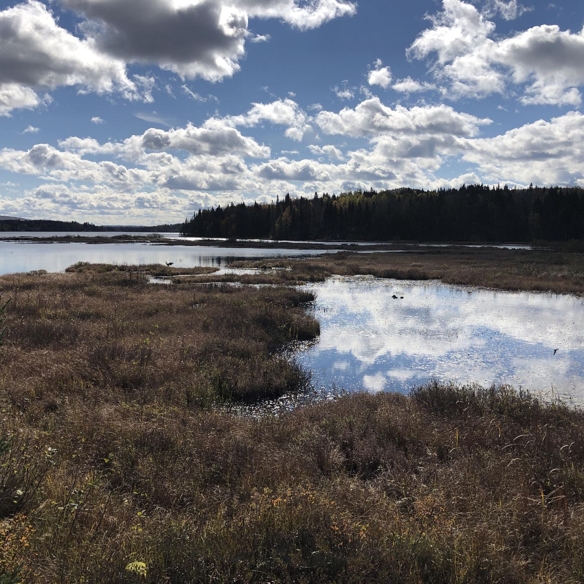
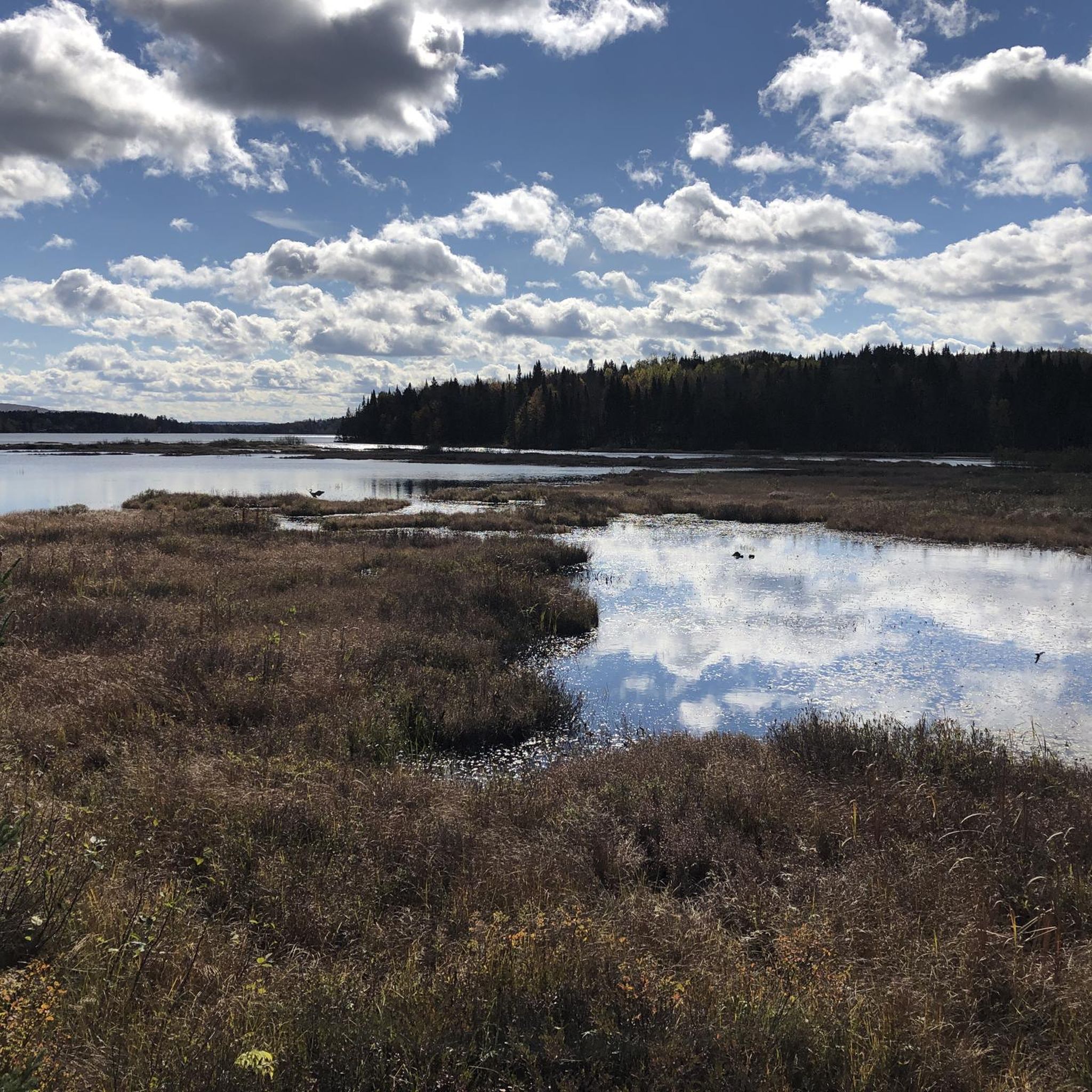
Vélopiste Jacques-Cartier / Portneuf is a 68-kilometre multi-use rail trail built along a former railway corridor, linking Saint-Gabriel-de-Valcartier to Rivière-à-Pierre, passing through forest and along rivers, lakes, and small communities northwest of Québec City. The Shannon to Sainte-Catherine-de-la-Jacques-Cartier section follows one of the trail’s quieter stretches, passing through picturesque wooded landscapes and open views near the Jacques-Cartier River on a gentle, crushed-stone surface that's ideal for cycling and walking. Connected to Québec City via the Corridor des Cheminots, the route combines easy grades with peaceful scenery and access to nearby outdoor recreation, making it one of the region’s most popular long-distance trails.
0
0
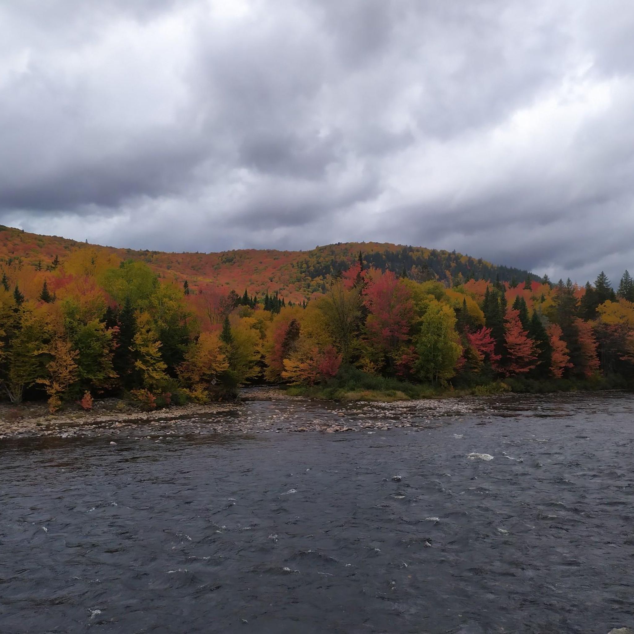
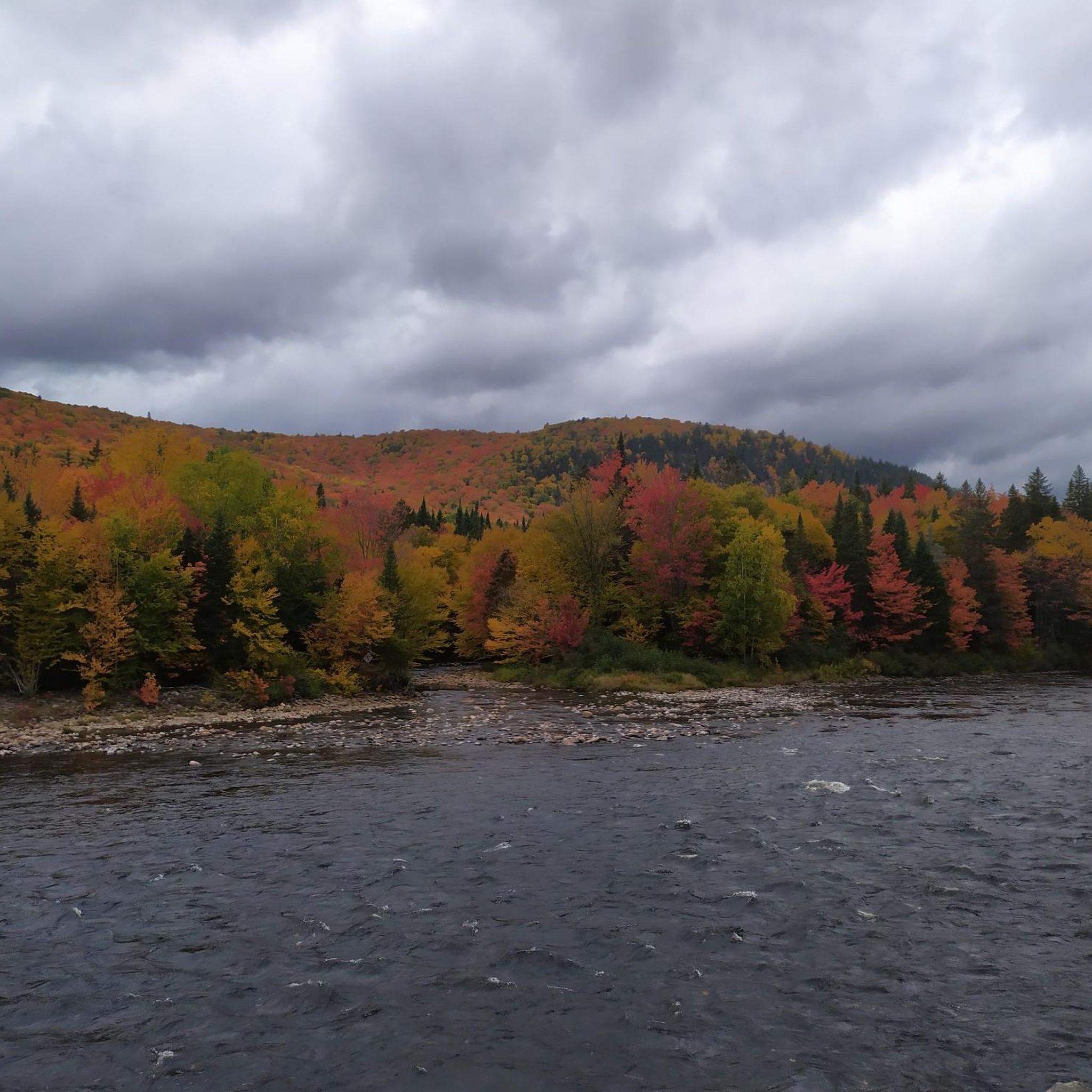
The Jacques-Cartier River Bridge is a former railway bridge near Shannon that crosses high above the Jacques-Cartier River, originally serving the rail line between Québec City and Lac-Saint-Jean. It now carries Vélopiste Jacques-Cartier / Portneuf users across the steep, forested valley, with beautiful views over the river corridor below, and is one of the more recognizable remains of the region’s railway history.
0
0

From this high viewpoint near the historic Montmorency Falls, you can see the stunning blue waters of the St. Lawrence River stretching out before you. If you look closely across the river, you can spot the famous skyline of Old Québec, including the towering, castle-like Château Frontenac sitting proudly on the cliffs.
0
0
A great way to explore is by walking across the suspension bridge that hangs directly over the crest of the falls. From there, you can look straight down into the tumbling white water. If you enjoy a challenge, you can climb the panoramic staircase with its 487 steps to get incredible views from different heights. For a more relaxing ride, you can take the cable car up the cliff face.
2
0

Kabir Kouba Waterfall cascades down into a limestone canyon and can be seen from two lookout platforms just meters away from the parking area. The falls are significant to the Huron-Wendat Nation, to learn more about that significance, read the interpretive signage around the falls.
1
0

Very nice cycle path with very little elevation gain
1
0
Frequently Asked Questions
How many road cycling routes are available around Saint-Gabriel-de-Valcartier?
There are over 25 road cycling routes around Saint-Gabriel-de-Valcartier, offering a variety of options for different skill levels and preferences.
What types of terrain can I expect on road cycling routes in Saint-Gabriel-de-Valcartier?
The region features varied terrain, including river valleys, forested sections, and rolling hills. You'll encounter both gentle inclines and more sustained climbs, with scenic views of water bodies like Lac Saint-Charles and the Jacques-Cartier River.
Are there easy road cycling routes suitable for beginners or families?
Yes, there are 12 easy road cycling routes around Saint-Gabriel-de-Valcartier. An excellent option for a relaxed ride is the Xxz De Z loop from Val-Saint-Michel, which covers 30.0 miles (48.4 km) with gentle elevation changes through open roads and forested sections. Another easy route is the Lac Saint-Charles loop from Charlesbourg—Haute-Saint-Charles, a 17.0-mile (27.4 km) path.
What are some moderate road cycling routes in the area?
For those seeking a moderate challenge, there are 16 routes available. The Montmorency Falls loop from d'Hibernia is a popular choice, spanning 41.9 miles (67.5 km) with varied terrain and views of Montmorency Falls. Another good option is the Bassin des Abatis – Lac Bertrand loop from Val-Bélair, which is 31.7 miles (51.0 km) long and leads through forested areas and past water bodies.
Are there any advanced or difficult road cycling routes around Saint-Gabriel-de-Valcartier?
While there are no routes officially graded as 'difficult' in the immediate area, the moderate routes offer sustained climbs and varied terrain that can provide a good challenge. Cyclists looking for more intense rides might consider combining sections of different moderate routes or exploring the longer loops available.
What is the best time of year for road cycling in Saint-Gabriel-de-Valcartier?
The best time for road cycling in Saint-Gabriel-de-Valcartier is typically from late spring through early autumn (May to October). During these months, the weather is generally mild, and the natural landscapes are at their most vibrant, offering pleasant riding conditions.
Are there scenic road cycling routes that offer views of natural landmarks?
Many routes in the region are highly scenic. The Montmorency Falls loop from d'Hibernia provides stunning views of Montmorency Falls. Additionally, routes often pass by water bodies such as Lac Saint-Charles and the Jacques-Cartier River, offering picturesque backdrops for your ride.
Are there any circular road cycling routes available?
Yes, many of the road cycling routes around Saint-Gabriel-de-Valcartier are designed as loops. Examples include the Montmorency Falls loop from d'Hibernia, the Xxz De Z loop from Val-Saint-Michel, and the Bassin des Abatis – Lac Bertrand loop from Val-Bélair, all offering convenient circular journeys.
What do other road cyclists enjoy most about road cycling in Saint-Gabriel-de-Valcartier?
The area is highly rated by the komoot community, with an average score of 4.3 stars from over 20 reviews. Reviewers often praise the varied terrain, the mix of forested sections and open roads, and the scenic views of rivers and lakes that characterize the routes.
Are there routes that follow the Jacques-Cartier River?
Yes, the region's road cycling is defined by river valleys, including the Jacques-Cartier River. The Jacques-Cartier River Bridge loop from Val-Bélair is a 23.5-mile (37.9 km) moderate route that allows you to experience the river's scenic beauty.
What is the typical distance for road cycling routes in this area?
Route distances vary significantly, catering to different preferences. You can find shorter loops like the Lac Saint-Charles loop from Charlesbourg—Haute-Saint-Charles at 17.0 miles (27.4 km), up to longer rides such as the Montmorency Falls loop from d'Hibernia, which is 41.9 miles (67.5 km).
Most popular attractions around Saint-Gabriel-de-Valcartier

Get inspired with the komoot mobile app


Explore more
Browse the best Road cycling routes in other regions.
