The best cycling routes around Paroisse de Carleton
4.9
(16)
169
riders
9
rides
Touring cycling routes around Paroisse de Carleton offer diverse landscapes along the Baie-des-Chaleurs, characterized by coastal paths and views of the Appalachian Mountain range meeting the sea. The region features the significant barachois, a coastal lagoon and bird sanctuary, providing unique natural beauty. While the broader Gaspésie region includes challenging terrain and hills, local paths often provide more accessible cycling experiences. The area is integrated into the extensive Route Verte network, offering varied touring cycling opportunities.
Best touring cycling routes…
Last updated: July 3, 2026
4.7
(3)
57
riders
Easy bike ride. Great for any fitness level. Mostly paved surfaces. Suitable for all skill levels.
4.7
(3)
43
riders
Easy bike ride. Great for any fitness level. Mostly paved surfaces. Suitable for all skill levels.

Sign up for free
13
riders
Easy bike ride. Great for any fitness level. Mostly paved surfaces. Suitable for all skill levels.
8
riders
17.3km
01:07
40m
40m
Easy bike ride. Great for any fitness level. Mostly paved surfaces. Suitable for all skill levels.
5.0
(3)
8
riders
Easy bike ride. Great for any fitness level. Mostly paved surfaces. Suitable for all skill levels.
Get access to more routes and recommendations from other explorers.
Sign up for free
Already have an account?
Our route recommendations are based on thousands of hikes, rides, and runs completed by other people on komoot.
Start today with a free account
Your next adventure awaits.
Login or Signup
Popular around Paroisse de Carleton
Tips from the Community

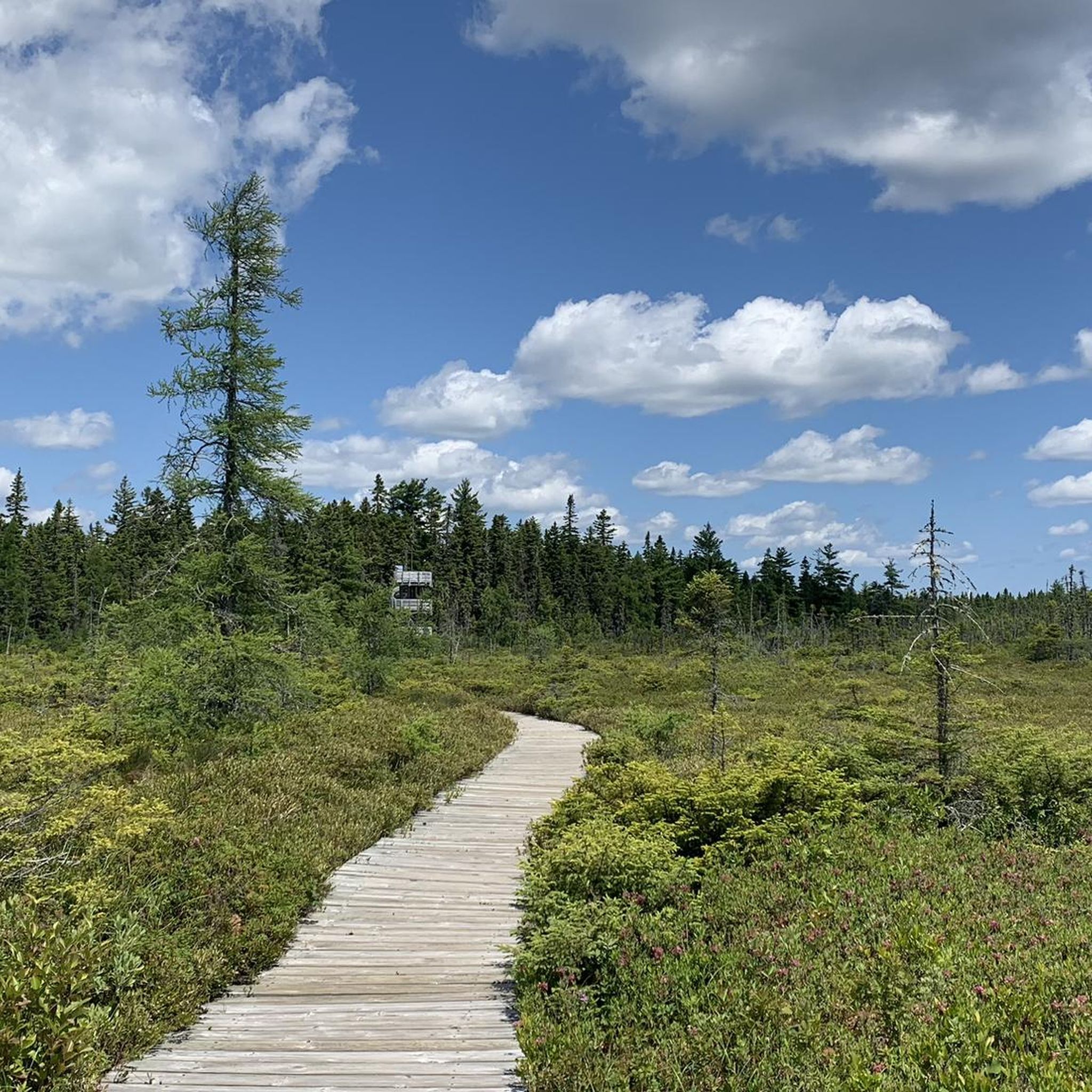
Major Kollock Creek Trail is a forest singletrack linking the Petit-Larg campsite area with the Major Kollock Creek parking lot. The route follows mixed woodland with short rises and boardwalk crossings over wetter sections near the creek. It’s suitable for both hiking and mountain biking, with mostly narrow trail tread and a few roots in places. Expect a quiet forest setting, occasional views of the creek, and links to wider Kouchibouguac trail networks. Watch out for bikers along the singletrack sections, especially where visibility is lower.
0
0
Kouchibouguac’s beach sits on a barrier island reached by designated access paths. The shoreline is long and open, with firm sand and wide tidal zones. It’s suitable for walking and running, and in calm weather you’ll see uninterrupted views along the Gulf of St. Lawrence. The dunes and protected piping plover habitat nearby are signed, so stay on marked paths when connecting the beach to your route.
0
0
An elevated viewpoint overlooking the forest, wetlands, and barrier-island system that defines Kouchibouguac National Park. The view highlights how the park shifts from inland woods to saltmarsh, lagoons, and the long sandspit that shelters the coast. A useful stop for orienting yourself, as a large portion of the park’s protected landscapes can be seen in one place.
0
0
Frequently Asked Questions
How many touring cycling routes are available in Paroisse de Carleton?
There are 9 touring cycling routes available in Paroisse de Carleton, all of which are rated as easy, making them accessible for a wide range of cyclists.
What kind of terrain can I expect on touring cycling routes in Paroisse de Carleton?
The touring cycling routes in Paroisse de Carleton primarily feature coastal paths and offer views of the Baie-des-Chaleurs. While the broader Gaspésie region can have challenging hills, local paths often provide more accessible, easier cycling experiences, including gravel trails and paved lanes, especially around the barachois.
Are there any family-friendly cycling options in Paroisse de Carleton?
Yes, all 9 touring cycling routes in Paroisse de Carleton are rated as easy, making them suitable for families. The local bike paths around the barachois, which are about 12.6 km round trip, are particularly pleasant for family rides along the municipal beach and Promenade des Acadiens.
What are some notable natural features or landmarks I can see while cycling?
Cyclists can enjoy stunning views of the Baie-des-Chaleurs, characterized by its picturesque setting with cliffs, coves, and beaches. The barachois, a significant coastal lagoon and bird sanctuary, is also a unique natural feature along many paths. Additionally, the Parc régional du Mont-Saint-Joseph offers breathtaking views from its summit.
Are there any circular touring cycling routes in the area?
Yes, many of the routes are designed as loops. For example, the Major Kollock Creek Trail – Waterview loop is an easy 27.1 km circular route offering scenic views along the water. Another option is the Waterview – Major Kollock Creek Trail loop, which is 27.7 km and provides a mix of coastal and inland scenery.
What do other touring cyclists say about the routes in Paroisse de Carleton?
The touring cycling routes in Paroisse de Carleton are highly rated by the komoot community, with an average score of 4.9 stars from over 10 reviews. Cyclists often praise the scenic coastal paths and the beautiful views of the Baie-des-Chaleurs.
What is the best time of year to go touring cycling in Paroisse de Carleton?
The best time to cycle in Paroisse de Carleton is typically during the warmer months, from late spring to early autumn, when the weather is mild and the coastal scenery is at its most vibrant. This period allows for comfortable rides along the Baie-des-Chaleurs and through the local paths.
Is there a longer touring cycling route that explores more of the region?
While the routes listed directly in Paroisse de Carleton are shorter, the region is part of the extensive Route Verte cycling network, which largely follows Route 132 around the Gaspé Peninsula. This allows for much longer touring experiences, such as a 60 km circuit from Carleton-sur-Mer to the Miguasha museum, showcasing typical regional landscapes.
Are there opportunities for mountain biking or other types of cycling in the area?
Beyond touring cycling, the region offers diverse options. The Parc régional du Mont-Saint-Joseph is an outdoor mecca with trails suitable for mountain biking and even fat biking, providing a different kind of challenge and scenery.
Can I access the cycling routes using public transport?
While specific public transport connections directly to trailheads are not detailed, Carleton-sur-Mer is a key location within the Gaspésie region. For broader information on cycling and transport in the Gaspésie, you might find resources on the Tourisme Gaspésie website helpful for planning.
Where can I find parking near the cycling routes?
Parking is generally available in and around Carleton-sur-Mer, especially near popular access points like the municipal beach or the Promenade des Acadiens, which are starting points for local cycling paths around the barachois. Specific parking details for individual trailheads may vary.
Are there any routes that offer views of the Baie-des-Chaleurs?
Absolutely. Many routes in Paroisse de Carleton offer stunning views of the Baie-des-Chaleurs. For instance, the Waterview loop from Anglo-Canadian is a 24.2 km trail specifically leading through coastal areas and providing excellent vistas of the bay.
Most popular routes around Paroisse de Carleton
Most popular attractions around Paroisse de Carleton

Get inspired with the komoot mobile app


Explore more
Browse the best Cycling routes in other regions.
