The best walks and hikes around Saint-Tite-des-Caps
4.5
(44)
1,036
hikers
23
hikes
Hiking around Saint-Tite-des-Caps offers diverse trails within a landscape shaped by the Laurentian Mountains and the St. Lawrence River. The region is characterized by old-growth forests, significant elevation changes, and panoramic views of the river and its islands. It is part of the Charlevoix Biosphere Reserve, known for its biodiversity and varied terrain.
Best hiking trails around Saint-Tite-des-Caps
- The most popular hiking route is Le Petit Lac – Lac Saint-Tite loop from Saint-Tite-des-Caps, a 7.3 miles (11.7 km) trail that takes 3 hours 35 minutes to complete. This moderate route explores the area around Lac Saint-Tite.
- Another top favourite among local hikers is Le Buton Viewpoint – View of Cap Maillard loop from École de Glisse du Massif, an easy 2.6 miles (4.2 km) path. This trail provides scenic vistas towards Cap Maillard.
- Local hikers also love the Lac Saint-Tite loop from Saint-Tite-des-Caps, an 8.6 miles (13.8 km) trail leading through varied forest and lakeside terrain, often completed in about 4 hours 4 minutes.
- Hiking around Saint-Tite-des-Caps is defined by views of the St. Lawrence River, old-growth forests, and the foothills of the Laurentian Mountains. The network offers options for different ability levels, from easy walks to more challenging multi-hour treks.
- The routes in Saint-Tite-des-Caps are highly rated by the komoot community with an average score of 4.5 stars from around 40 reviews. More than 800 hikers have used komoot to explore Saint-Tite-des-Caps's varied terrain.
Last updated: July 3, 2026
4.9
(7)
65
hikers
Easy hike. Great for any fitness level. Easily-accessible paths. Suitable for all skill levels.
5.0
(3)
66
hikers
11.3km
03:22
320m
320m
Moderate hike. Good fitness required. Easily-accessible paths. Suitable for all skill levels.

Sign up for free
4.7
(3)
58
hikers
Easy hike. Great for any fitness level. Easily-accessible paths. Suitable for all skill levels.
4.0
(1)
36
hikers
13.5km
04:01
370m
370m
Moderate hike. Good fitness required. Easily-accessible paths. Suitable for all skill levels.
32
hikers
7.46km
02:09
180m
180m
Moderate hike. Good fitness required. Easily-accessible paths. Suitable for all skill levels.
Get access to more routes and recommendations from other explorers.
Sign up for free
Already have an account?
Our route recommendations are based on thousands of hikes, rides, and runs completed by other people on komoot.
Start today with a free account
Your next adventure awaits.
Login or Signup
Tips from the Community

Cap Maillard rises above the St. Lawrence River and forms one of the defining high points of Le Massif de Charlevoix. From here, the steep mountainsides of Charlevoix plunge toward the river, creating one of the most dramatic landscapes in eastern Canada.
0
0
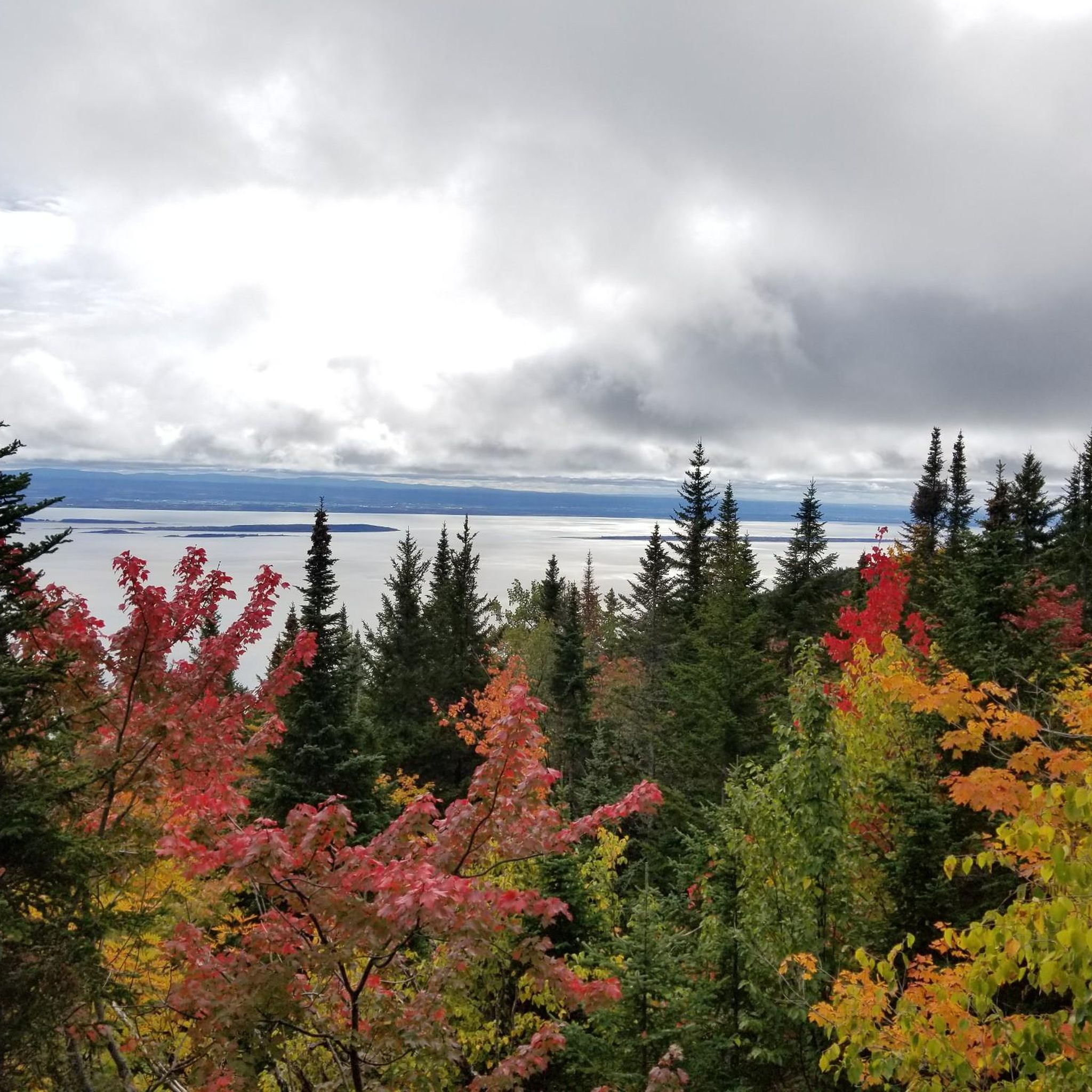
Le Buton is Le Massif's signature lookout, offering sweeping views over the Charlevoix region and the St. Lawrence River. The viewpoint sits on a man-made promontory near the summit and provides an unusually open panorama, allowing you to take in the river, surrounding mountains, and the dramatic drop from the ski slopes to the shoreline below. On a clear day, the scale of the landscape is impressive in every direction.
0
0

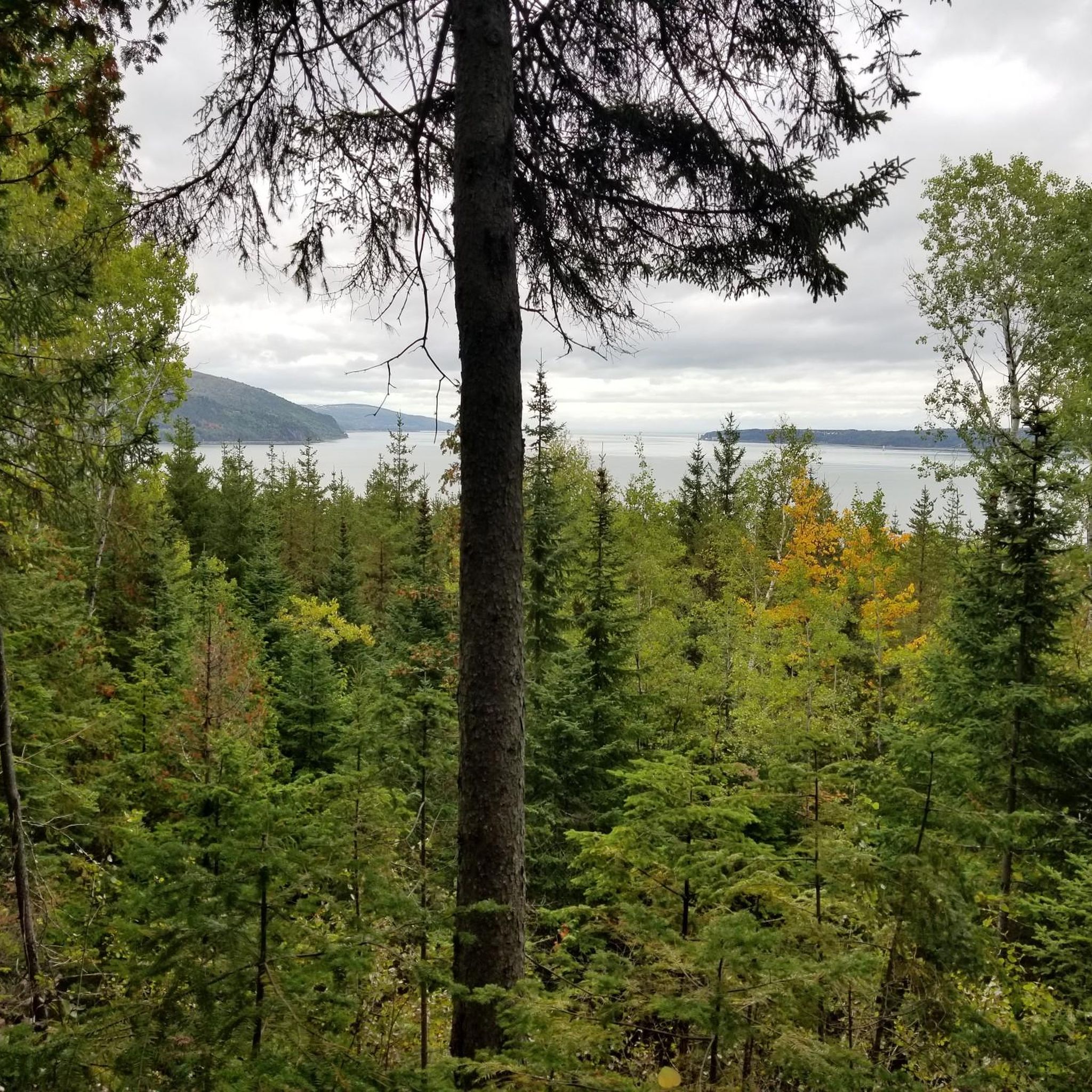
The trail to the summit is well-marked, and from the peak you can see clearly out past Isle-aux-Coudres. There are a few refuges nearby where you can stay the night before hiking back down toward the St. Lawrence.
0
0

At the entrance to the Sainte Anne Canyon you can admire beautiful wooden sculptures.
0
0
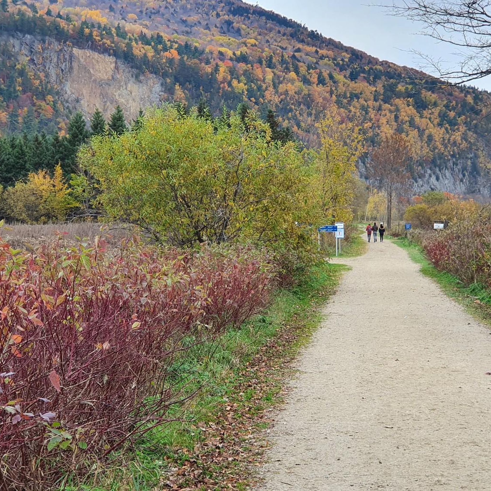
From the upper wooden walkway in the Sainte Anne Canyon you have a fantastic view of the Sainte-Anne-du-Nord river with the rapids just before the spectacular waterfall. It is worth a visit even when it rains. The canyon is open from May to October.
0
0

The Sainte-Anne Falls are 75 m high, 15 m higher than Niagara Falls. The water flow varies greatly throughout the year, reaching 100,000 litres per second in April and May, while in August/September it only reaches 10,000 litres. The river has its source in over 30 lakes located in the huge Laurentides Wildlife Reserve. After 90 km, it flows into the Saint Lawrence River at Beaupré.
1
0

Frequently Asked Questions
How many hiking trails are available in Saint-Tite-des-Caps?
The Saint-Tite-des-Caps area offers over 20 hiking routes, catering to various skill levels. These trails provide diverse experiences, from easy walks to more challenging multi-hour treks through the region's unique landscapes.
Are there easy hiking options suitable for beginners or families?
Yes, Saint-Tite-des-Caps has 9 easy hiking routes. A great option for scenic vistas is the Le Buton Viewpoint – View of Cap Maillard loop from École de Glisse du Massif, which is 4.2 km (2.6 miles) long and offers beautiful views towards Cap Maillard.
Can I find challenging or multi-day hikes in the region?
While the komoot guide features 3 difficult routes, the region is also home to the renowned Sentier des Caps de Charlevoix, which offers options for multi-day treks lasting 2 to 6 days. These longer excursions often include stays in rustic shelters or campsites, with services like luggage and vehicle transfer available for extended trips.
Are there any trails with waterfalls in Saint-Tite-des-Caps?
Yes, the region is known for its impressive waterfalls. You can explore the Jean-Larose Falls loop from Chute Sainte-Anne, which takes you near the spectacular Jean-Larose Falls. Additionally, the nearby Canyon Sainte-Anne features an impressive 74-meter waterfall cascading through a 1.2-billion-year-old rock canyon, with trails offering various viewpoints. You can also find the Sainte-Anne Waterfalls and Mont-à-Peine Falls in the vicinity.
What kind of views can I expect on the hiking trails?
Hikers in Saint-Tite-des-Caps can expect breathtaking views of the St. Lawrence River and the islands of the Montmagny archipelago, often from altitudes between 500 and 800 meters. The trails also offer panoramic vistas of the Laurentian Mountains, old-growth forests, and scenic overlooks like the Saint-François Observation Tower.
Are there circular hiking routes available in the area?
Yes, many trails in Saint-Tite-des-Caps are designed as loops. Popular circular routes include the Le Petit Lac – Lac Saint-Tite loop from Saint-Tite-des-Caps (11.7 km) and the Lac Saint-Tite loop from Saint-Tite-des-Caps (13.8 km), both offering varied forest and lakeside terrain.
What is the best time of year to go hiking in Saint-Tite-des-Caps?
Saint-Tite-des-Caps is a year-round hiking destination. In warmer months, the old-growth forests are vibrant with diverse tree species. Autumn brings spectacular fall foliage and the migration of snow geese. Winter transforms the landscape into an enchanting scene, popular for snowshoeing and cross-country skiing.
Is Saint-Tite-des-Caps suitable for winter hiking or snowshoeing?
Absolutely. The region is a popular winter destination. The Sentier des Caps de Charlevoix, for example, extends to 49 km in winter, offering dedicated snowshoeing trails ranging from 4 to 12.8 km. Cross-country skiing is also prominent, particularly in the Le Massif sector with 35 km of trails.
What kind of wildlife might I encounter on the trails?
As part of the Charlevoix Biosphere Reserve, Saint-Tite-des-Caps is rich in biodiversity. Hikers might spot various bird species, especially during the autumn migration of snow geese over the capes. The old-growth forests are home to diverse flora and fauna characteristic of the Laurentian Mountains.
Are there any historical or cultural landmarks near the hiking routes?
Yes, the region offers a blend of natural beauty and historical interest. The La Grande Ferme Historic Site is a notable landmark nearby, providing insight into the area's heritage. Additionally, the village itself is nestled within the UNESCO-recognized Charlevoix Biosphere Reserve, highlighting its ecological and cultural significance.
What do other hikers enjoy most about hiking in Saint-Tite-des-Caps?
The area is highly rated by the komoot community, with an average score of 4.5 stars from nearly 40 reviews. Hikers often praise the stunning views of the St. Lawrence River, the tranquility of the old-growth forests, and the variety of trails that cater to different fitness levels.
Where can I access the trails and find parking?
The main reception area for the Sentier des Caps de Charlevoix is conveniently located in Saint-Tite-des-Caps, where access rights can be obtained. Many trailheads, such as those for the Le Buton Viewpoint – View of Cap Maillard loop and Alt 790 – Montagne à Liguori loop, are accessible from École de Glisse du Massif, which typically offers parking facilities.
Most popular attractions around Saint-Tite-des-Caps

Get inspired with the komoot mobile app


Explore more
Browse the best Hikes in other regions.
