The best walks and hikes around Saint-Élie-de-Caxton
4.7
(74)
1,055
hikers
12
hikes
Hiking trails around Saint-Élie-de-Caxton, located in Quebec's Mauricie region, traverse diverse natural landscapes characterized by wooded terrain and numerous waterways. The area is nestled in a small valley surrounded by hills, offering varied elevations for outdoor exploration. Hikers can expect routes that feature serene lakes, rivers, and elevated perspectives from local hills.
Best hiking trails around Saint-Élie-de-Caxton
- The most popular hiking route is Caribou Creek – Lac Wapizagonke loop from Lac de la Tourbière, a 6.2 miles (9.9 km)…
Last updated: October 4, 2026
4.9
(25)
436
hikers
9.94km
02:50
220m
220m
Moderate hike. Good fitness required. Easily-accessible paths. Suitable for all skill levels.
4.8
(4)
53
hikers
4.73km
01:14
30m
30m
Easy hike. Great for any fitness level. Easily-accessible paths. Suitable for all skill levels.

30
hikers
Easy hike. Great for any fitness level. Easily-accessible paths. Suitable for all skill levels.
5.0
(1)
16
hikers
5.21km
01:29
120m
120m
Easy hike. Great for any fitness level. Easily-accessible paths. Suitable for all skill levels.
4.5
(2)
11
hikers
7.33km
01:59
100m
100m
Easy hike. Great for any fitness level. Easily-accessible paths. Suitable for all skill levels.
Get access to more routes and recommendations from other explorers.
Already have an account?
Our route recommendations are based on thousands of hikes, rides, and runs completed by other people on komoot.
Start today with a free account
Your next adventure awaits.
Other adventures around Saint-Élie-de-Caxton

Tips from the Community

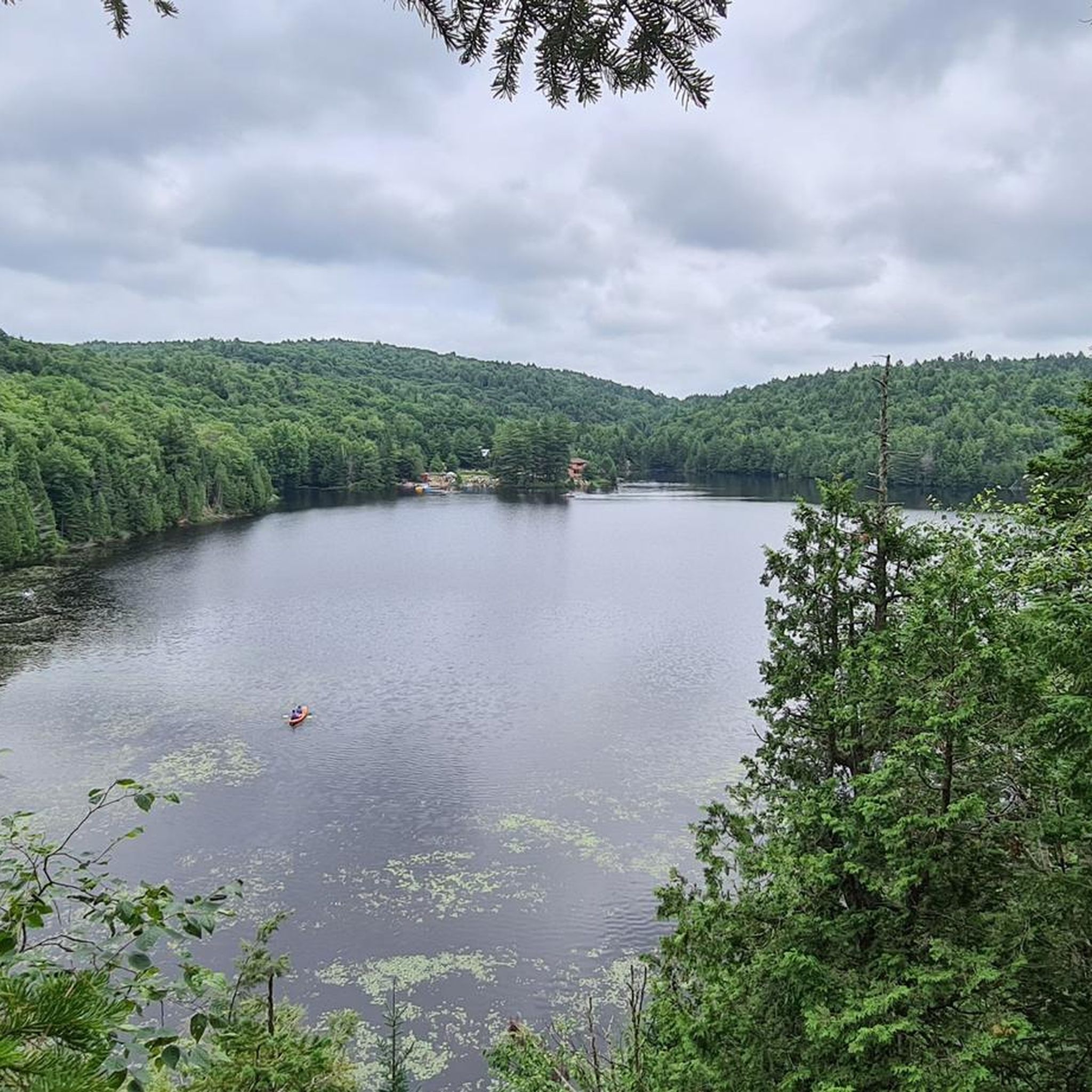
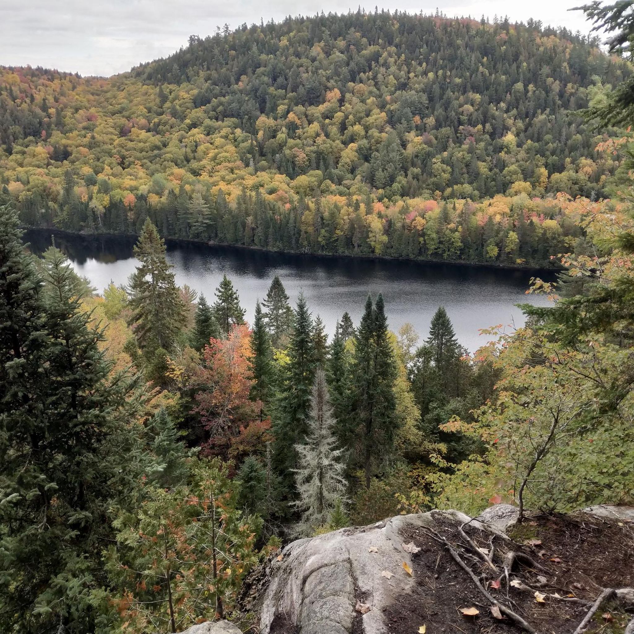
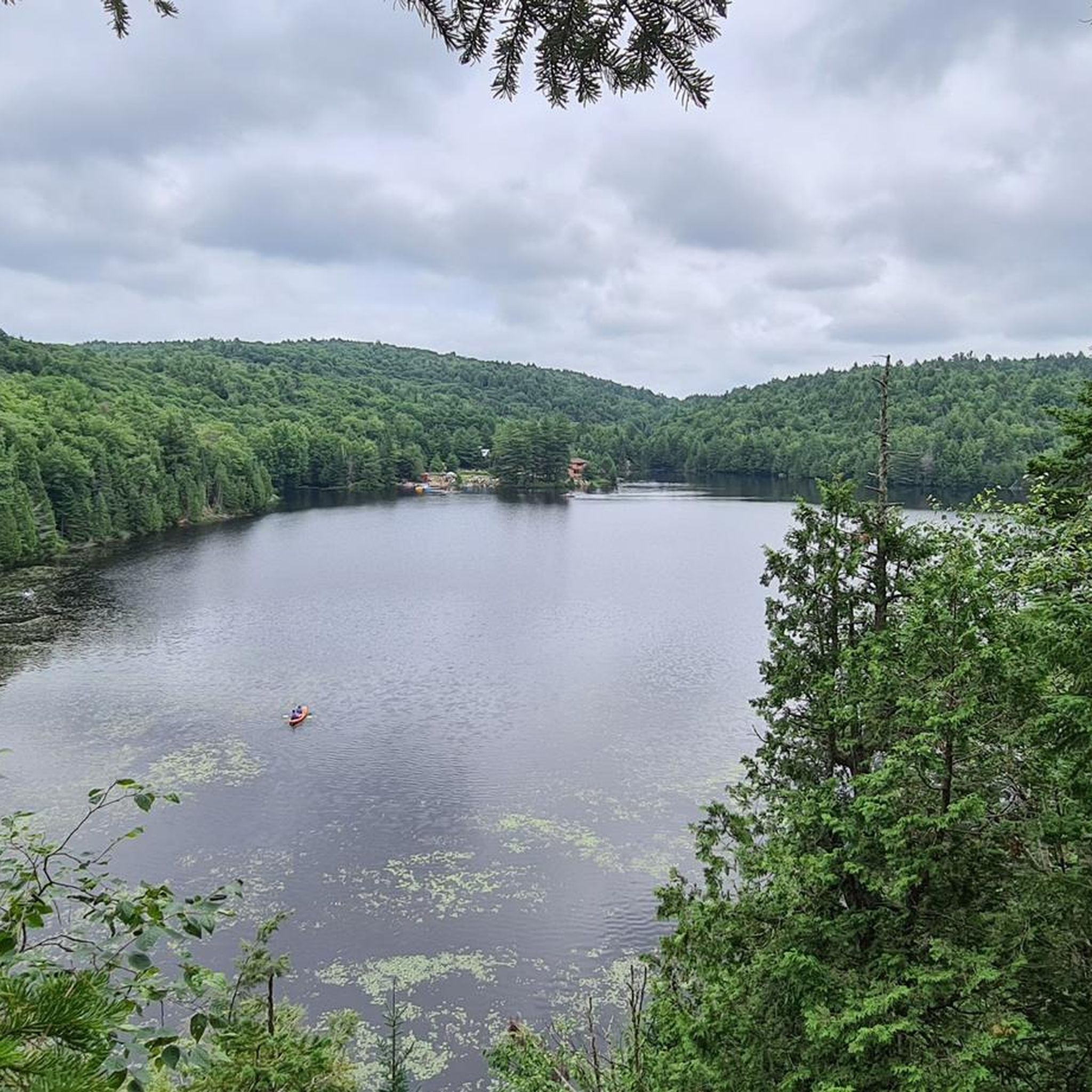
Fantastic view of the lake. It is especially beautiful here when the autumn leaves change color.
3
0

I don't know what's more exciting, listening to the water rushing down or watching it - an experience for all the senses.
0
0
Here you walk right by the water and can watch the reflections of the trees on the water surface.
0
0

In September, at the beginning of Indian Summer, it is simply fantastic here.
2
0
Frequently Asked Questions
How many hiking trails are available in Saint-Élie-de-Caxton?
Saint-Élie-de-Caxton offers over a dozen distinct hiking trails, catering to various skill levels. You'll find a good mix of easy walks and more moderate treks through the region's diverse landscapes.
Are there easy hiking options suitable for beginners or families?
Yes, Saint-Élie-de-Caxton is very welcoming for beginners and families, with 8 easy routes available. A great option is the Île du Sabot loop from Île du Sabot, which is 4.7 km long and takes about an hour and a quarter to complete. Another easy choice is the View of the Caribou River – View of Lake Wapizagonke loop from Lac de la Tourbière, a 3.9 km trail.
What kind of landscapes can I expect to see while hiking in Saint-Élie-de-Caxton?
The region is characterized by its picturesque wooded terrain, numerous serene lakes, and rivers. You'll often find trails nestled in a small valley surrounded by mountains, offering varied elevations and scenic views. Expect to encounter tranquil waterways and lush forests.
Are there any circular hiking routes in the area?
Yes, many of the trails in Saint-Élie-de-Caxton are designed as loops, allowing you to start and end at the same point. Examples include the moderate Caribou Creek – Lac Wapizagonke loop from Lac de la Tourbière and the easier Île du Sabot loop from Île du Sabot.
Can I find trails with waterfalls in Saint-Élie-de-Caxton?
While Saint-Élie-de-Caxton itself is known for its lakes and rivers, the broader Mauricie region, which it is part of, features natural spectacles like waterfalls. Notably, Les Cascades are located within the nearby Parc national de la Mauricie, offering dramatic natural beauty for those willing to explore a bit further.
What are some notable natural attractions or landmarks along the hiking trails?
Hikers can enjoy several natural attractions. You might encounter the tranquil waters of Lac Wapizagonke or the scenic Caribou Creek. The region also features elevated perspectives from surrounding hills, including the "Montagne du Calvaire" (Calvary Mountain), which offers views of the landscape.
Is Saint-Élie-de-Caxton a good destination for winter hiking?
The wooded terrain and varied elevations of Saint-Élie-de-Caxton make it suitable for winter hiking, offering a different kind of beauty when covered in snow. While specific winter trail conditions can vary, the municipality's commitment to recreational tourism suggests opportunities for outdoor activities year-round. Always check local conditions before heading out.
What do other hikers enjoy most about hiking in Saint-Élie-de-Caxton?
The area is highly rated by the komoot community, with an average score of 4.7 stars from over 50 reviews. Hikers often praise the serene natural environments, the variety of trails catering to different abilities, and the picturesque views of lakes and rivers that define the region.
Are there any moderate to challenging hikes for more experienced hikers?
Yes, Saint-Élie-de-Caxton offers 5 moderate routes for those seeking a bit more challenge. The Vue sur la rivière Shawinigan – Riverside Rest Spot loop from Parc récréoforestier St-Mathieu is a 9.9 km path with notable elevation changes, offering views of the Shawinigan River. Another moderate option is the Hiking loop from Saint-Alexis-des-Monts, which is 7.8 km long.
What is the best time of year to go hiking in Saint-Élie-de-Caxton?
The best time to hike generally depends on your preference. Spring and fall offer pleasant temperatures and beautiful foliage, while summer provides warmer weather ideal for combining hiking with water activities on the many lakes. Winter hiking is also an option for those who enjoy snowy landscapes.
Is it possible to see wildlife on the trails in Saint-Élie-de-Caxton?
Given the region's extensive wooded areas, lakes, and rivers, there is a good chance of encountering local wildlife. Hikers often report seeing various bird species, small mammals, and other forest creatures. Maintaining a quiet presence and observing from a distance will increase your chances.
Are the hiking trails in Saint-Élie-de-Caxton dog-friendly?
Many outdoor areas in Quebec are dog-friendly, but specific regulations can vary by trail or park. It's always recommended to check the rules for individual trails or protected areas before bringing your dog. Generally, if dogs are permitted, they should be kept on a leash.
Where can I find parking for the hiking trails?
Many trailheads, especially for popular routes, typically have designated parking areas. For example, the Vue sur la rivière Shawinigan – Riverside Rest Spot loop starts from Parc récréoforestier St-Mathieu, which likely offers parking facilities. It's advisable to check specific route details on komoot for information on trailhead access and parking availability.
Most popular routes around Saint-Élie-de-Caxton
Most popular attractions around Saint-Élie-de-Caxton

Get inspired with the komoot mobile app


Explore more
Browse the best Hikes in other regions.
