The best walks and hikes around Kalltalsperre
4.6
(32916)
113,890
hikers
1,193
hikes
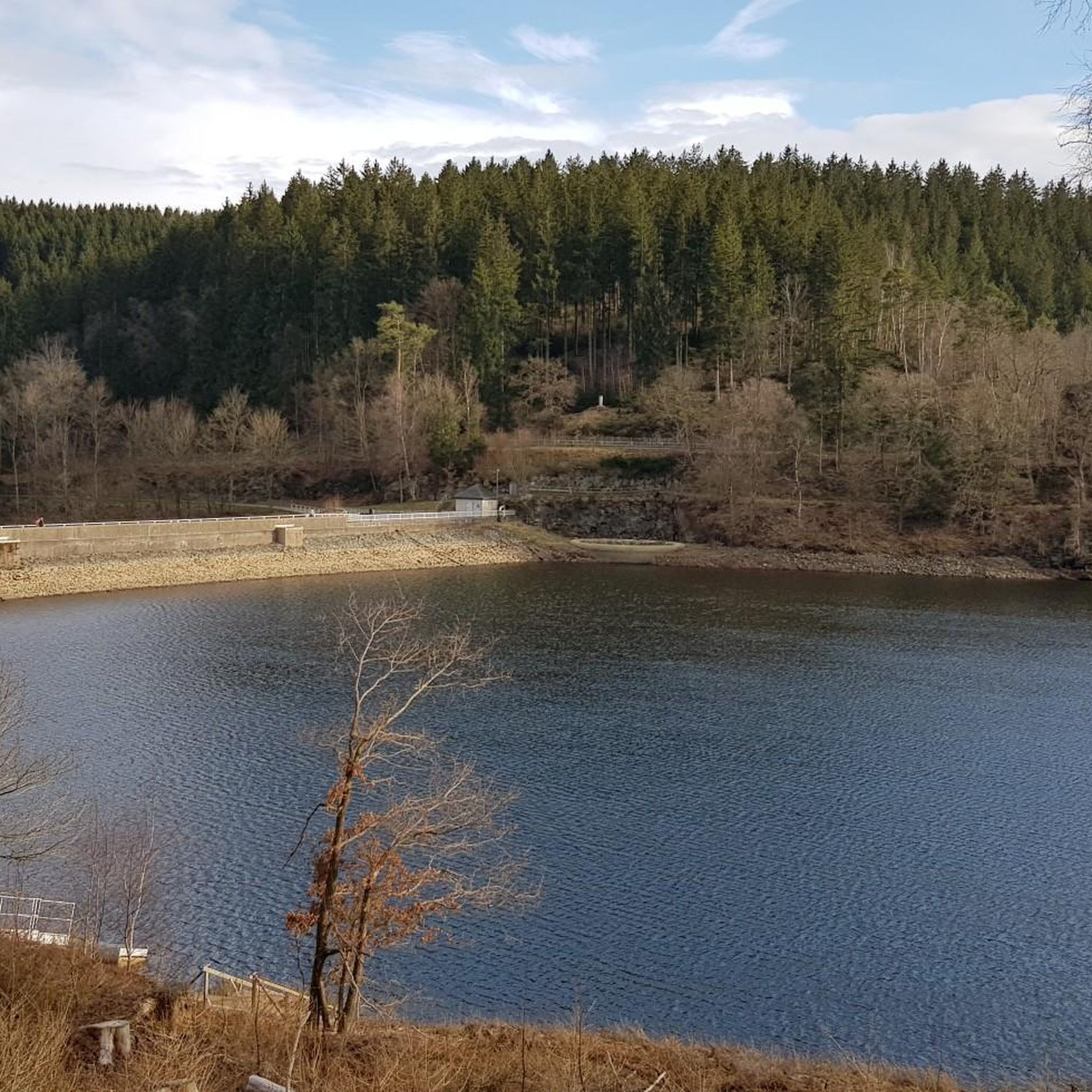
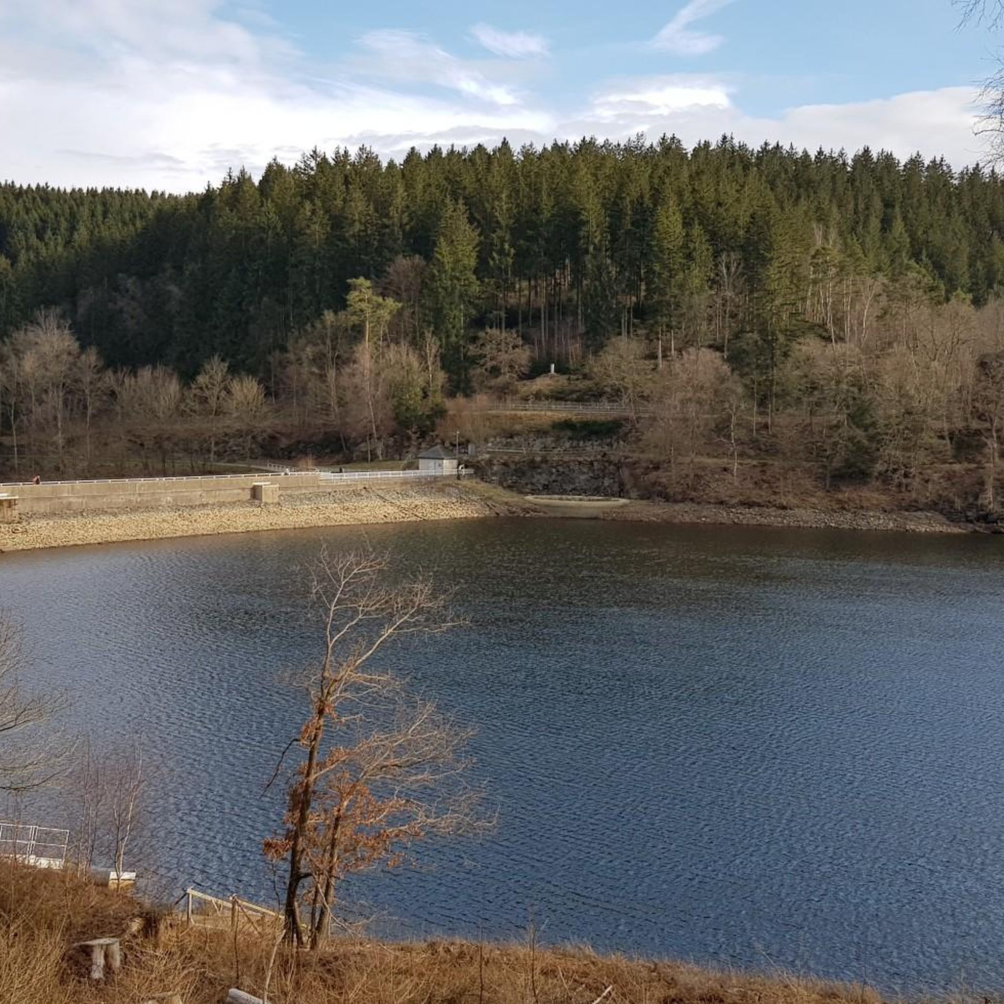
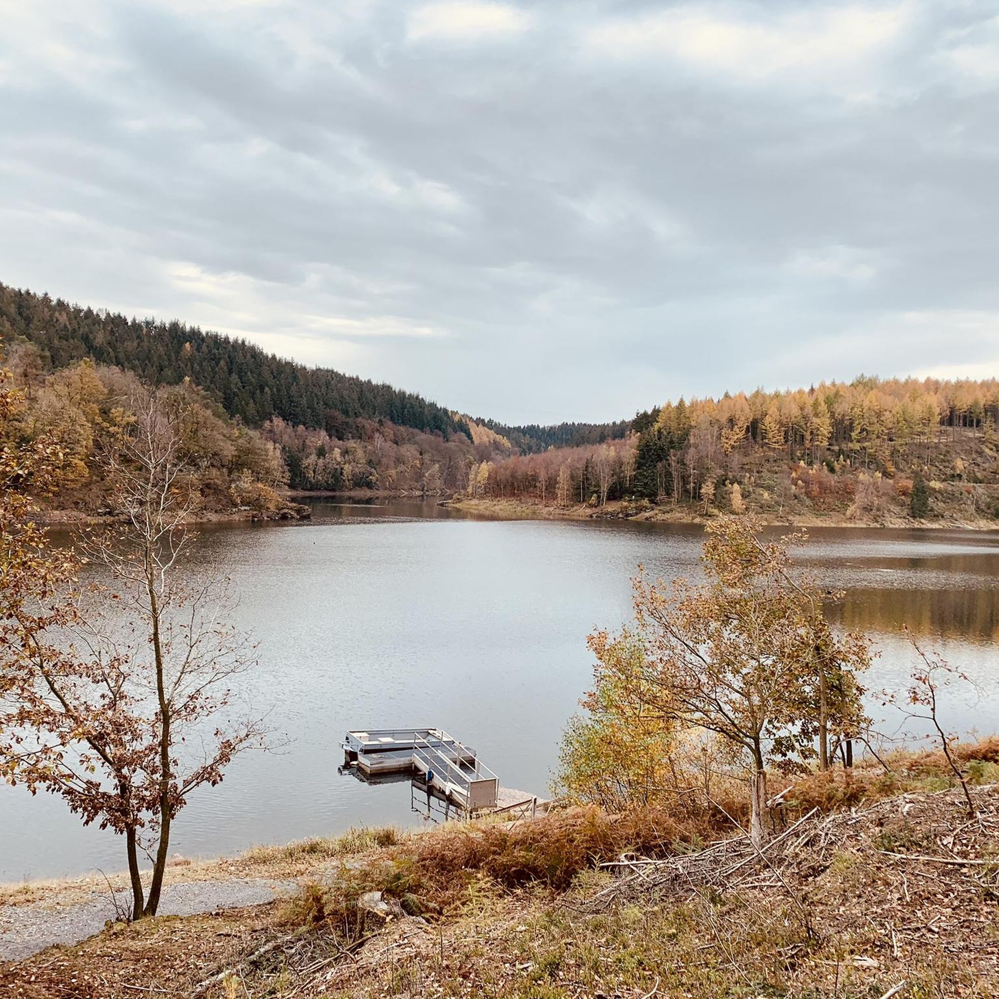
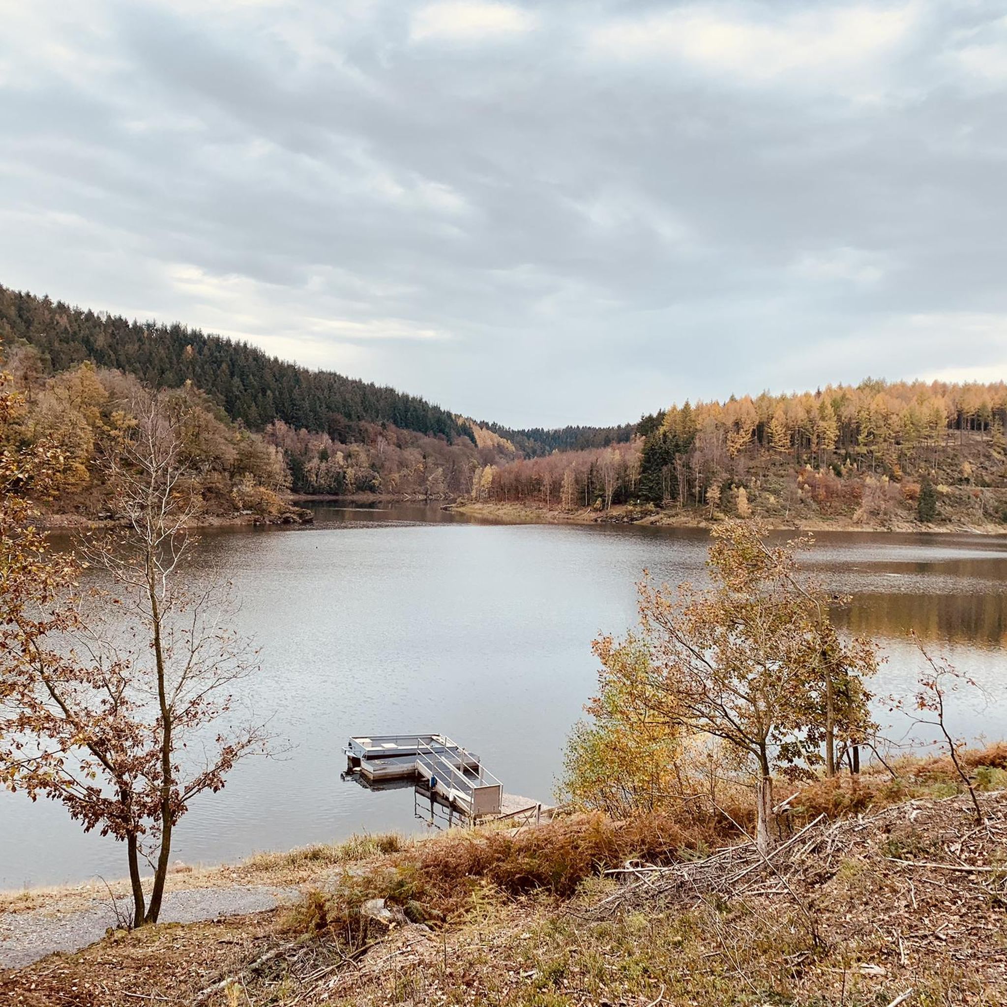
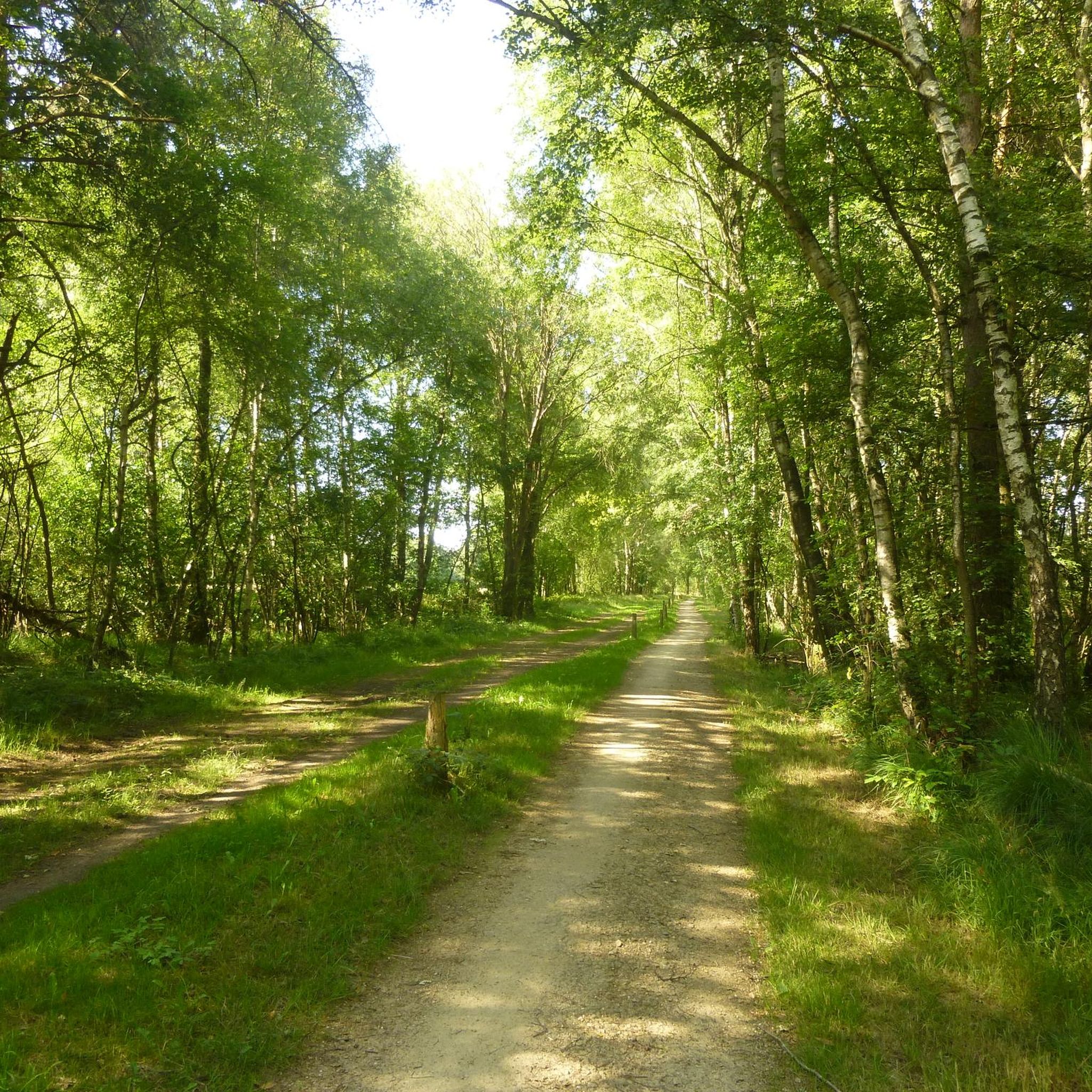
Hiking around Kalltalsperre offers diverse trails within the Eifel region, centered around a tranquil drinking water reservoir. The landscape features extensive forests, meadows, and streams, providing a varied natural environment. Hikers can encounter impressive rock formations, such as the Kaiserfelsen, and towering spruce trees that define the scenery. The area provides broad forest paths with gentle inclines, suitable for various fitness levels.
Best hiking trails around Kalltalsperre
- The most popular hiking route is View of the Kall Reservoir – Simonskall…
Last updated: August 20, 2026
4.8
(170)
575
hikers
Easy hike. Great for any fitness level. Easily-accessible paths. Suitable for all skill levels.
4.9
(31)
89
hikers
15.0km
04:09
280m
280m
Moderate hike. Good fitness required. Easily-accessible paths. Suitable for all skill levels.

Sign up for free
4.6
(56)
178
hikers
19.3km
05:26
390m
390m
Hard hike. Very good fitness required. Easily-accessible paths. Suitable for all skill levels.
3.5
(2)
27
hikers
Moderate hike. Great for any fitness level. Mostly accessible paths. Sure-footedness required.
5.0
(1)
15
hikers
5.83km
01:35
80m
80m
Easy hike. Great for any fitness level. Easily-accessible paths. Suitable for all skill levels.
Get access to more routes and recommendations from other explorers.
Sign up for free
Already have an account?
Our route recommendations are based on thousands of hikes, rides, and runs completed by other people on komoot.
Start today with a free account
Your next adventure awaits.
Login or Signup
Tips from the Community

In view of the (in the worst sense of the word 'brand'-)current headlines about the devastating fire in the North Eifel (Hürtgenwald) and the nearby (Belgian) "Hohes Venn", the scale of which has so far reached unimaginable dimensions in the cross-border region, I recommend to nature-interested viewers a film documentary in the ZDF media library: An episode from the series »plan b« – titled "Forest protection in the climate crisis" – illuminates the background to the condition of our native forests and asks urgent questions. The contribution is available online at =>> https://www.zdf.de/play/dokus/plan-b-104/plan-b-waldschutz-in-der-klimakrise-100?staffel=2023
0
0


Splendid view, remarkable place
1
0

You'll find the Kaiserfelsen (Emperor's Rock) right near the dam.
2
0

The Urft Dam (Urfttalsperre) is the oldest valley dam in the Eifel region, built around 1900–1905 to regulate the Urft River and supply water for drinking water and power generation. Together with the Urft Lake (Urftstausee), the dam is part of an impressive network of reservoirs in the Eifel National Park, offering fantastic views, especially from a specially located viewing platform on the dam wall. The official Eifel-Blick Urftstaumauer panoramic viewpoint is located directly on the Urft Dam wall. From here, you have a spectacular view of: • 💧 The Urft Lake (Urftstausee), a large artificial lake with a water capacity of up to 45.5 million m³, stretching approximately 12 km. • 🏞️ The dam wall itself is an impressive structure of natural stone and technical hydraulic engineering that was once intended to be the largest dam in Europe. • 🌳 The surrounding nature of the Eifel National Park, the wooded slopes and the plateau around Gemünd, together form a picturesque and wide panorama. • 🏰 The former Ordensburg Vogelsang, a well-known historical site in the distance, is part of the broader Eifel landscape that you can see from this viewpoint. The viewing platform itself once stood on the site of the dam keeper's house (between 1924 and 1926), but it was destroyed during World War II. Today, it offers an open panoramic viewpoint with free access all day long. The view of the Urft Dam spillway from the viewing platform on the Urfttalsperre dam wall is one of the most beautiful panoramas in the Eifel National Park. From here, you can experience the wide view of Lake Urft (Urftstausee), the imposing dam, and the surrounding wooded landscape—a perfect combination of nature, technology, and history in one viewpoint.
0
0

Impressive view over the dam
2
0

A beautiful vantage point to look into the Kall valley.
1
0
Frequently Asked Questions
How many hiking trails are available around Kalltalsperre?
There are over 1,100 hiking routes around Kalltalsperre, offering a wide range of options for all skill levels. More than 600 of these are considered easy, making the area very accessible.
Are there easy hiking options suitable for beginners or families?
Yes, Kalltalsperre is very welcoming for beginners and families. Over 600 easy routes feature broad forest paths with gentle inclines. A popular choice is the circular route around the Kalltalsperre itself, which is generally considered easy to moderately challenging and suitable for family walks.
What natural landmarks or features can I see while hiking around Kalltalsperre?
Hikers can discover several impressive natural features. The most prominent is the Kaiserfelsen (Emperor Rock), a striking rock formation that creates a meter-high gorge. You'll also encounter magnificent 40-meter-tall spruce trees, such as the 40-Meter Spruce Tree, and enjoy tranquil views of the Kall Reservoir.
Are there any circular hiking routes around Kalltalsperre?
Yes, circular routes are a highlight of hiking in Kalltalsperre. A popular option is the Kaiserfelsen (Emperor Rock) – View of the Kall Reservoir loop from Schluchtwald Kalltal, which is 3.3 miles (5.3 km) long and takes about 1 hour 30 minutes. Another is the View of the Kall Reservoir – Simonskall loop from Schluchtwald Kalltal, a 9.3 miles (15.0 km) trail offering varied perspectives of the water and surrounding forest.
What is the best time of year to go hiking in Kalltalsperre?
Kalltalsperre offers a unique charm in every season. Spring and summer bring vibrant greenery and wildflowers, while autumn transforms the landscape with colorful foliage. Even winter offers peaceful, serene scenes. The tranquil environment is ideal for nature observation year-round.
Is Kalltalsperre a dog-friendly hiking destination?
Yes, Kalltalsperre is generally dog-friendly. The extensive forest paths and natural environment provide ample space for dogs to enjoy. However, as it is a drinking water reservoir, dogs should be kept on a leash, especially near the water, and always clean up after your pet.
What kind of terrain can I expect on the hiking trails?
The terrain around Kalltalsperre is diverse, featuring extensive forests, meadows, and streams typical of the Eifel region. You'll find broad forest paths with gentle inclines, but also more challenging sections with significant elevation gain, particularly on longer routes like the Simonskall – View of Simonskall loop from Schluchtwald Kalltal.
Where can I park when visiting Kalltalsperre for hiking?
The Kalltalsperre is easily accessible from the "Kallbrück" hikers' car park, which provides convenient access to the trails. This is a well-known starting point for many routes in the area.
What do other hikers enjoy most about Kalltalsperre?
The area is highly rated by the komoot community, with an average score of 4.6 stars from over 28,000 reviews. Hikers often praise the tranquil reservoir views, lush forests, and striking rock formations like the Kaiserfelsen. The variety of routes suitable for different ability levels is also frequently highlighted.
Are there any challenging hikes for experienced trekkers?
Yes, for experienced trekkers seeking a challenge, routes like the Simonskall – View of Simonskall loop from Schluchtwald Kalltal offer a more demanding experience. This 12.1 miles (19.4 km) path features significant elevation gain through varied forest terrain, requiring approximately 5 hours 28 minutes to complete.
Can I reach Kalltalsperre by public transport?
While the Kalltalsperre is primarily known for its accessibility by car via the Kallbrück hikers' car park, public transport options to the general Simmerath area exist. However, direct public transport links to the specific trailheads around the reservoir might be limited, so planning your journey in advance is recommended.
Are there any cafes or restaurants near the hiking trails?
While the immediate vicinity of the Kalltalsperre is focused on natural landscapes, the broader Eifel region and nearby towns like Simmerath offer various cafes, restaurants, and accommodation options. It's advisable to check local listings for establishments along your chosen route or in nearby villages.
Most popular routes around Kalltalsperre
Most popular attractions around Kalltalsperre

Get inspired with the komoot mobile app


Explore more
Browse the best Hikes in other regions.
