The best mountain hikes around Haldensee
4.8
(1857)
11,720
hikers
221
hikes
Mountaineering routes Haldensee are set within Austria's Tannheimer Valley, a region characterized by diverse alpine landscapes, notable peaks, and crystal-clear waters. The area features impressive mountain ranges, lush meadows, and high valleys. Mountaineering here involves navigating varied terrain, from challenging alpine ascents to paths winding through dense forests.
Best mountaineering routes around Haldensee
- The most popular mountaineering route is Summit Cross Litnisschrofen – Litnisschrofen Summit (2,069 m) loop from Grän, a 6.7 miles (10.7 km) difficult trail that takes…
Last updated: June 24, 2026
5.0
(13)
100
hikers
10.7km
05:12
880m
880m
Hard mountaineering route. Very good fitness required. Sure-footedness, sturdy shoes and alpine experience required.
4.6
(9)
97
hikers
17.4km
06:17
910m
910m
Hard mountaineering route. Very good fitness required. Mostly accessible paths. Sure-footedness required.

Sign up for free
4.8
(13)
87
hikers
13.3km
06:33
1,110m
1,110m
Hard mountaineering route. Very good fitness required. Sure-footedness, sturdy shoes and alpine experience required.
4.6
(8)
48
hikers
15.1km
06:07
800m
800m
Hard mountaineering route. Very good fitness required. Sure-footedness, sturdy shoes and alpine experience required.
4.7
(11)
71
hikers
12.4km
05:33
880m
880m
Hard mountaineering route. Very good fitness required. Sure-footedness, sturdy shoes and alpine experience required.
Get access to more routes and recommendations from other explorers.
Sign up for free
Already have an account?
Our route recommendations are based on thousands of hikes, rides, and runs completed by other people on komoot.
Start today with a free account
Your next adventure awaits.
Login or Signup
Popular around Haldensee
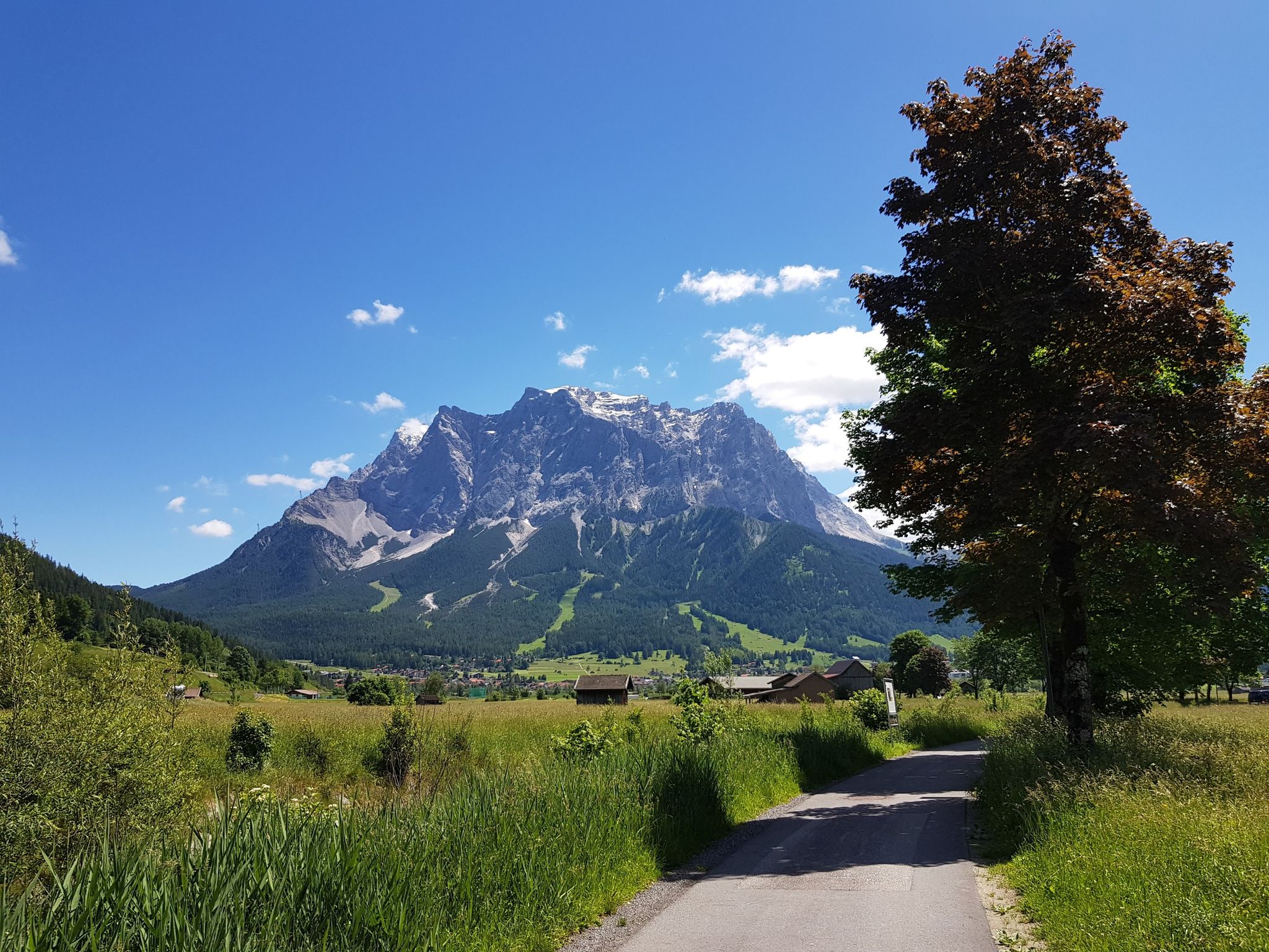
Bikepacking around Germany’s immense Zugspitze
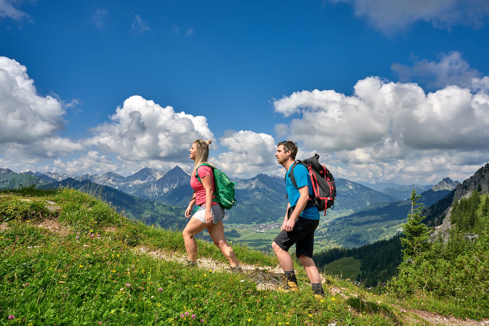
Beautiful alpine hikes with mountain huts in Austria’s Tannheimer Tal
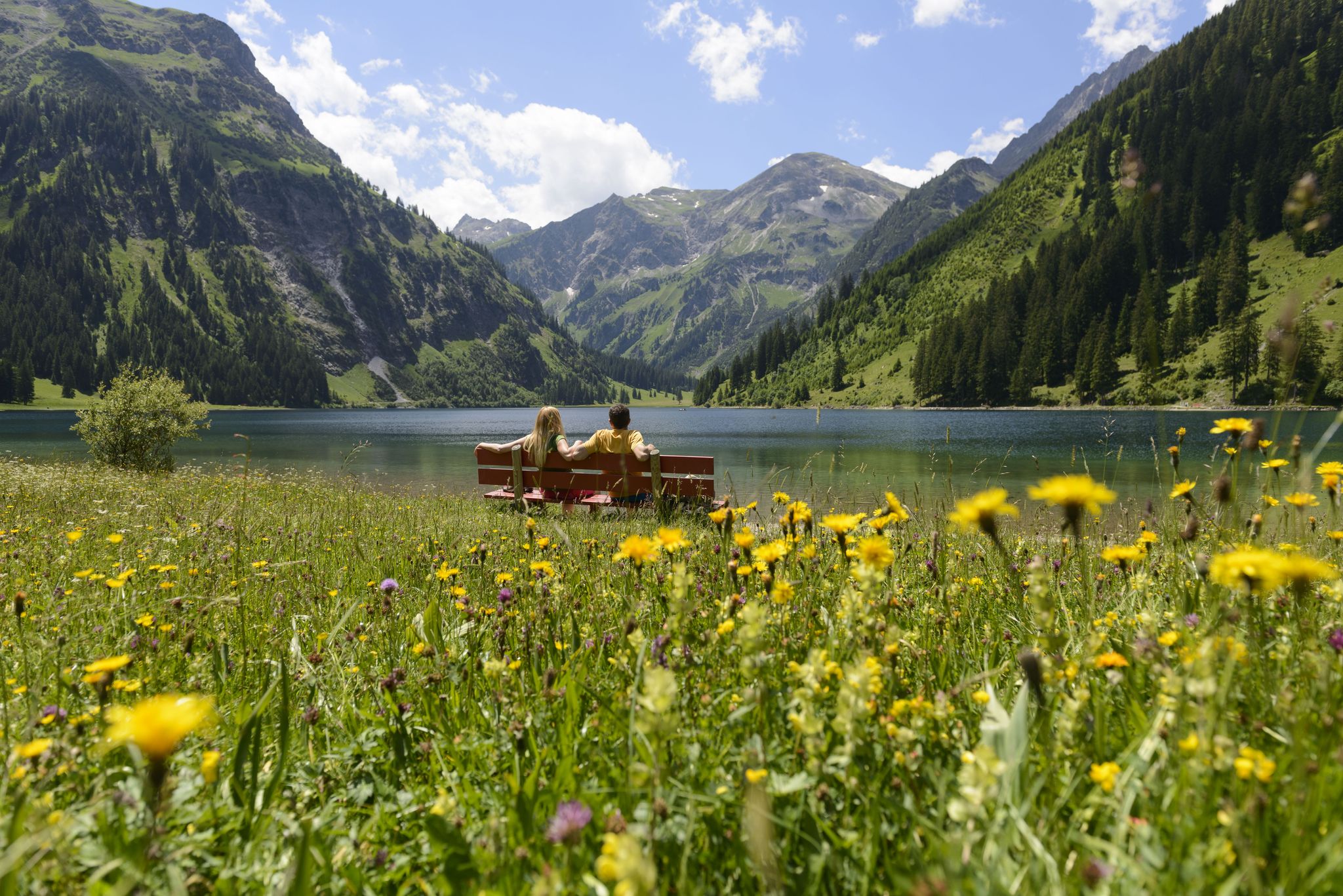
Summits, lakes & pleasure — Hiking in the Tannheimer Valley
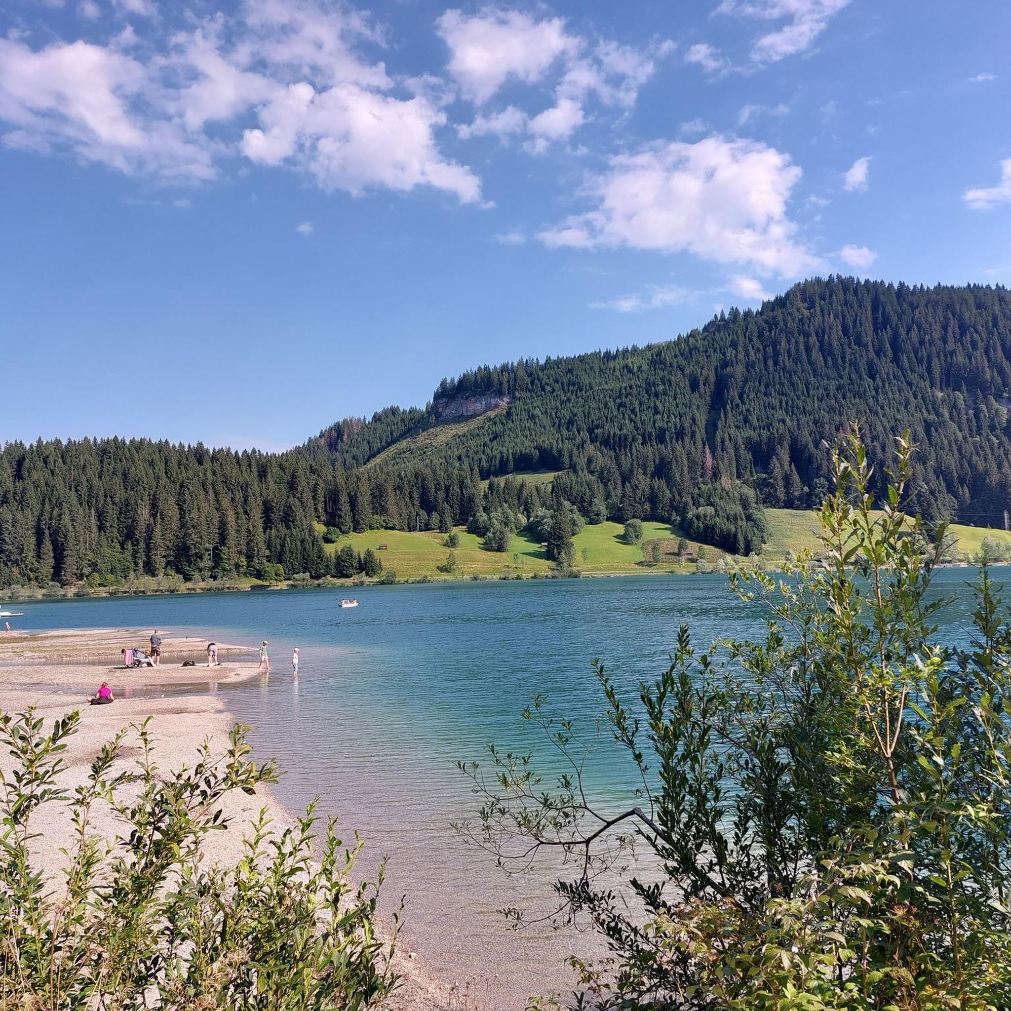
Cycling around Haldensee
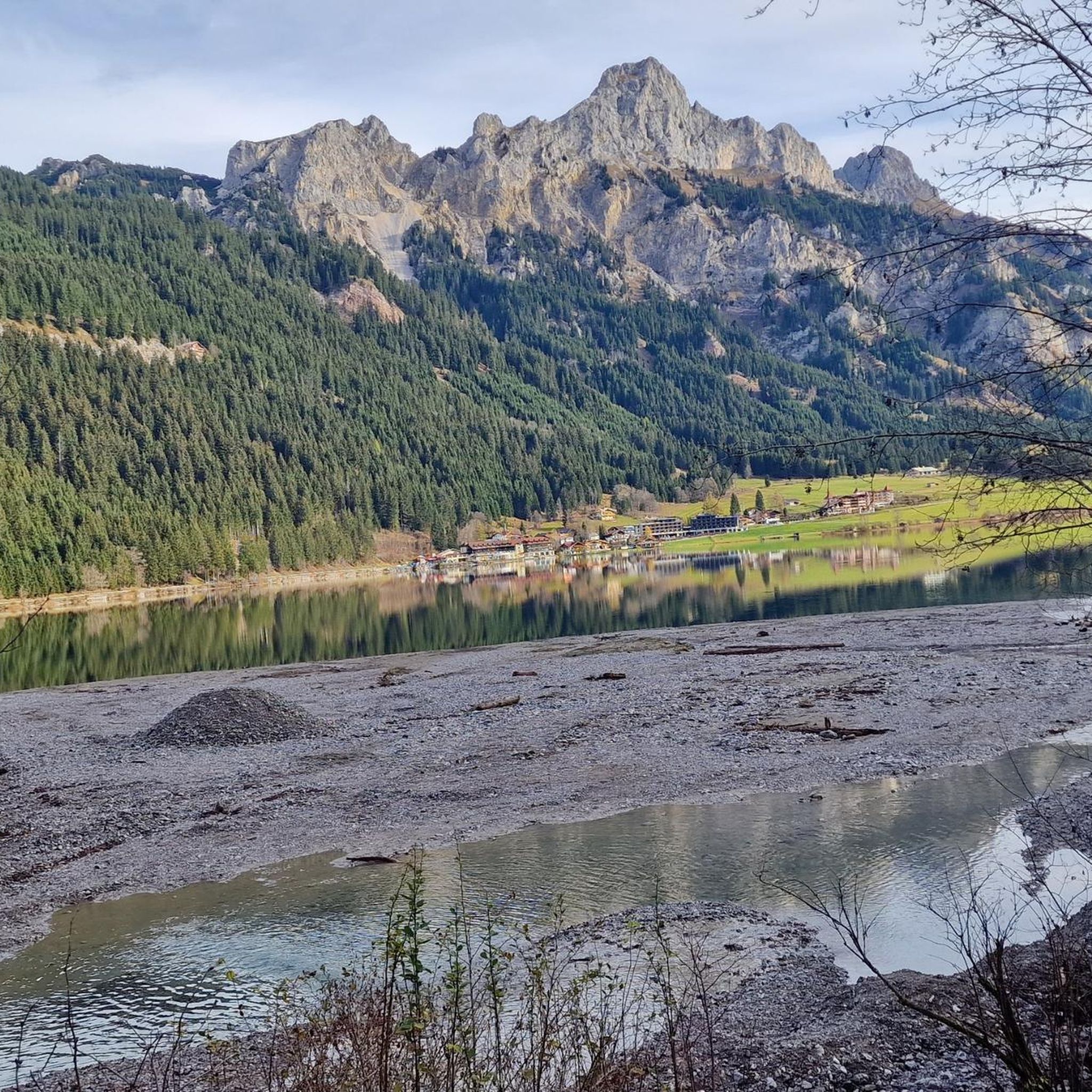
Hiking around Haldensee
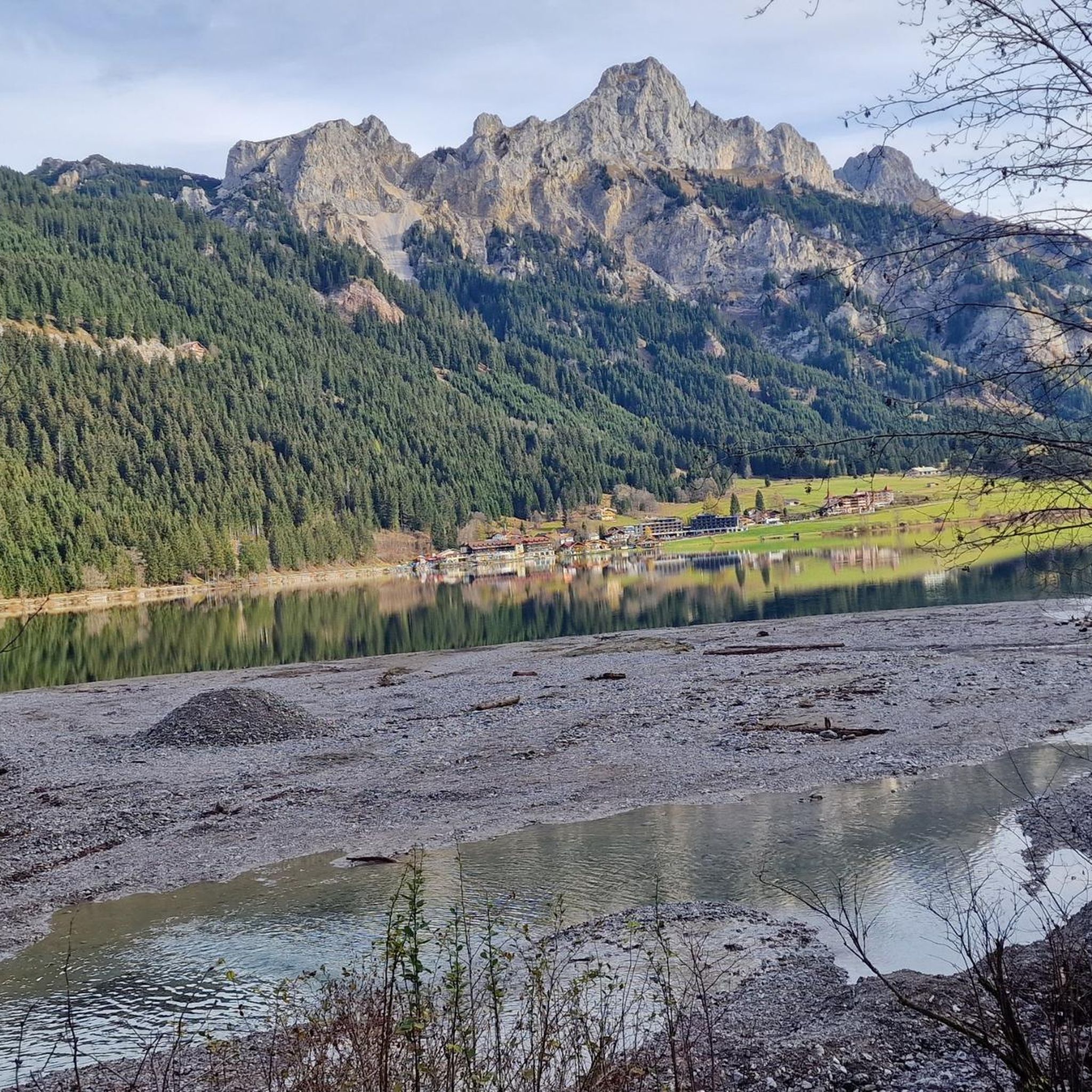
Road Cycling Routes around Haldensee
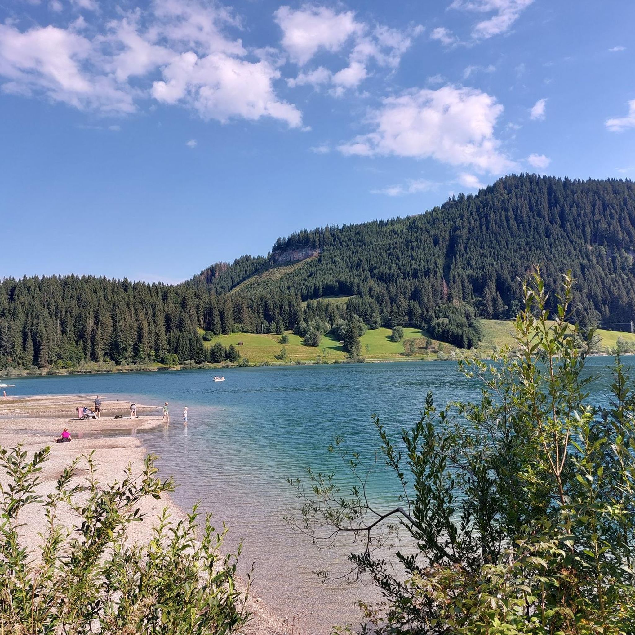
MTB Trails around Haldensee

Gravel biking around Haldensee
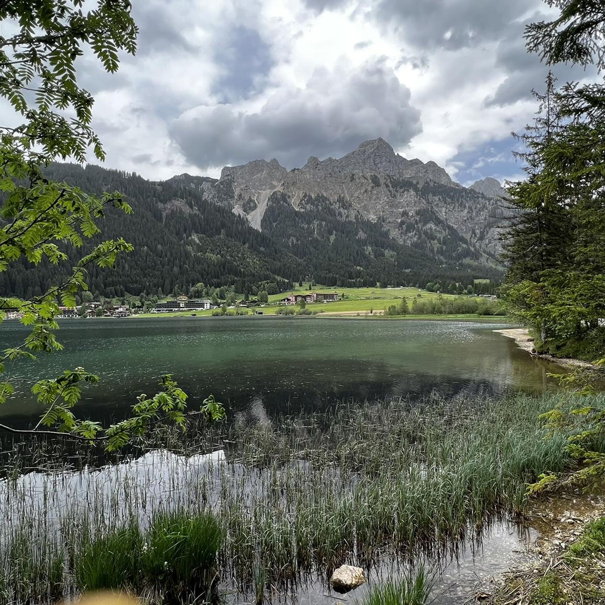
Running Trails around Haldensee
Other adventures around Haldensee


Tips from the Community

Brilliant view with Forgensee and Neuschwanstein
0
0

From Grän, the view towards the Bad Kissinger Hütte 👋 is fantastic. Very nice ascent, but you need good stamina.
0
0

The Bad Kissinger Hütte is located right on the border between Bavaria and Tyrol. Unfortunately, it was so crowded today that I couldn't find a spot. 😬
9
0
The summit cross on the 1,986 m high Aggenstein. From here, you'll enjoy a truly breathtaking panoramic view of the Alpine foothills and peaks!
8
0


Located at 1,405 meters, the Edenbachalm is an authentic Tyrolean mountain hut, open from May to October. The Edenbachalm can be reached in about an hour on foot from the idyllically situated Haldensee.
0
0

The lake has a beautiful color, reminiscent of the Caribbean in the Tannheimer Valley. From the surrounding mountains, you can enjoy a good view of the lake. The walk around it is also a pleasant, leisurely stroll.
0
0

After a short climb you reach the top and can enjoy the great view.
4
0
Frequently Asked Questions
How many mountaineering routes are available around Haldensee?
The Haldensee region offers a vast network of trails, with over 230 mountaineering routes recorded on komoot. These routes cater to various skill levels, from moderate ascents to challenging alpine expeditions.
What are the typical difficulty levels for mountaineering routes in Haldensee?
Mountaineering routes around Haldensee range from moderate to difficult. While there are a few easier options, the majority of the 230 routes are classified as difficult (156 routes) or moderate (72 routes), requiring sure-footedness, sturdy footwear, and often a good head for heights. Some peaks, like Köllenspitze, feature exposed climbing passages and via ferratas, reaching T4 alpine hiking difficulty.
Are there any circular mountaineering routes in the Haldensee area?
Yes, many mountaineering routes around Haldensee are designed as loops, allowing you to start and end at the same point. For example, the challenging Lake Haldensee – Sulzspitze Summit loop from Grän is a popular circular option for experienced mountaineers, covering over 17 km with significant elevation gain.
What kind of natural features and landmarks can I expect to see on mountaineering routes?
Mountaineering routes around Haldensee offer breathtaking views of crystal-clear alpine waters, lush meadows, and impressive mountain ranges. You'll encounter high alpine peaks, deep gorges, and dense forests. The eponymous Lake Haldensee itself is a central attraction, often visible from higher elevations. Other notable features include the Strindenbach Inlet to the Haldensee and various summit crosses like the one on Aggenstein.
What is the best time of year for mountaineering in Haldensee?
The primary season for mountaineering in Haldensee is typically from late spring to early autumn when trails are clear of snow and weather conditions are more stable. However, the region transforms into a 'white wonderland' in winter, offering opportunities for snowshoeing and winter hiking on cleared trails, though alpine mountaineering routes may require specialized equipment and expertise during this time.
Are there any huts or cafes along the mountaineering routes for refreshments?
Yes, the Tannheimer Valley, where Haldensee is located, boasts 31 alpine pastures and huts. These provide welcoming resting points and opportunities for refreshments along many routes. While specific cafes on every route aren't listed, you'll find options to refuel during your multi-day adventures or day trips.
What do other mountaineers enjoy most about the Haldensee region?
The Haldensee region is highly rated by the komoot community, with an average score of 4.8 stars from over 2100 reviews. Mountaineers often praise the diverse alpine landscapes, the challenging yet rewarding ascents, and the stunning views from peaks like Litnisschrofen and Sulzspitze. The well-maintained infrastructure and extensive trail networks also contribute to a positive experience.
Are there any easier mountaineering routes suitable for beginners around Haldensee?
While many routes are challenging, there are a few easier mountaineering options available. For those new to mountaineering, it's advisable to start with routes classified as 'moderate' to build experience. The region offers a diverse terrain, so you can find paths that gradually introduce you to alpine environments before tackling more demanding ascents.
Can I access mountaineering trailheads using public transport in Haldensee?
The Tannheimer Valley, including Haldensee, generally has good infrastructure. While specific public transport details for every trailhead are not provided, the region is well-connected, and local bus services often facilitate access to popular starting points for hikes and mountaineering tours. It's recommended to check local transport schedules for the most up-to-date information.
Are there specific peaks or summits that offer particularly rewarding mountaineering experiences?
Absolutely. The region is home to several iconic peaks. The Litnisschrofen Summit (2,069 m) is a popular destination, known for its challenging loops. The Aggenstein Summit, with its distinctive summit cross, also offers rewarding routes. For those seeking a significant challenge and breathtaking views, the Köllenspitze Summit (2,280 m) features exposed climbing passages and a via ferrata.
Are there any multi-day mountaineering tours possible in the Tannheimer Mountains?
Yes, for those seeking extended adventures, a four-day tour through the Tannheimer Mountains is possible. This allows for overnight stays in various alpine huts such as Vilser Alm, Bad Kissinger Hut, and Füssener Hut, providing a comprehensive mountaineering experience across the region.
What should I consider regarding parking when planning a mountaineering trip in Haldensee?
Many popular trailheads in the Haldensee area, especially around villages like Grän, offer designated parking facilities. It's advisable to research specific parking options for your chosen route in advance, particularly during peak season, as spaces can fill up quickly. Some parking areas may require a fee.
Most popular routes around Haldensee
Most popular attractions around Haldensee

Get inspired with the komoot mobile app


Explore more
Browse the best Mountain Hikes & Routes in other regions.
