The best mountain hikes around Farchtensee
4.9
(20)
164
hikers
14
hikes
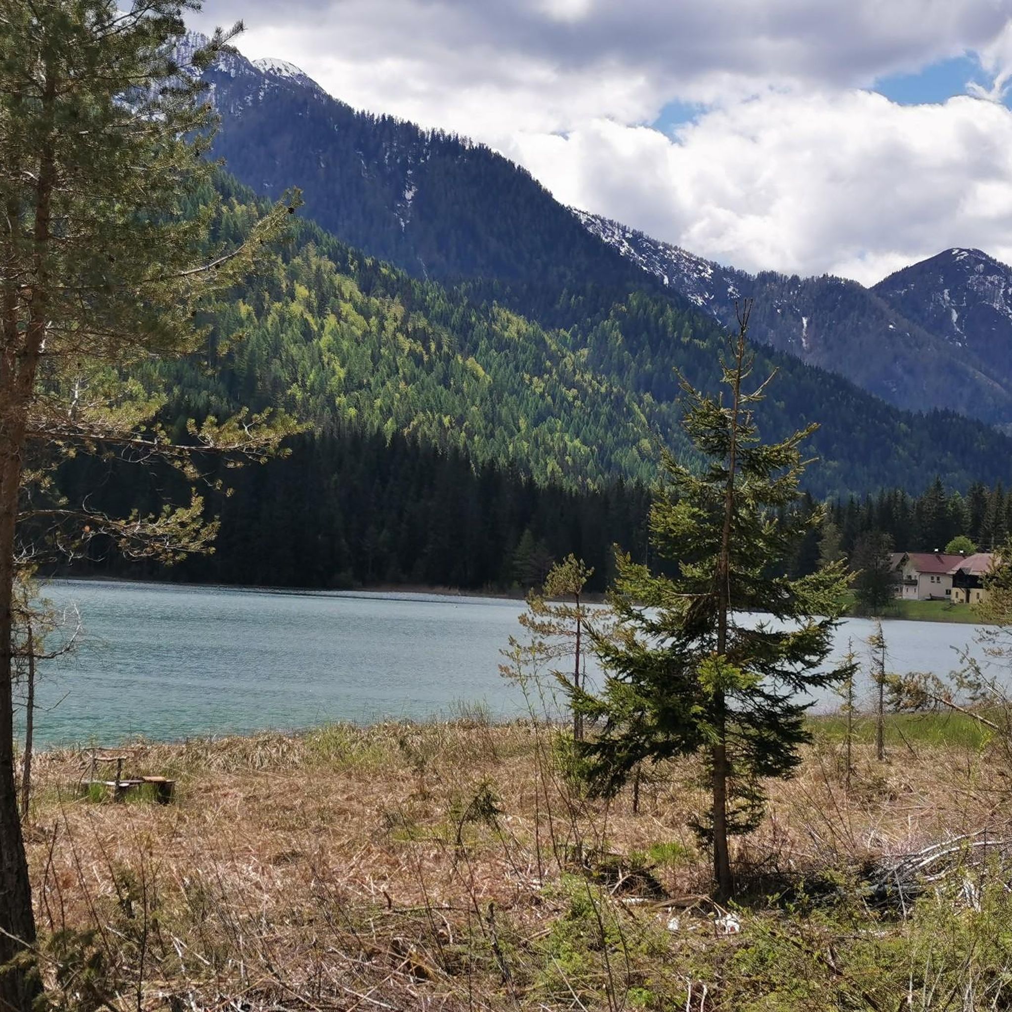
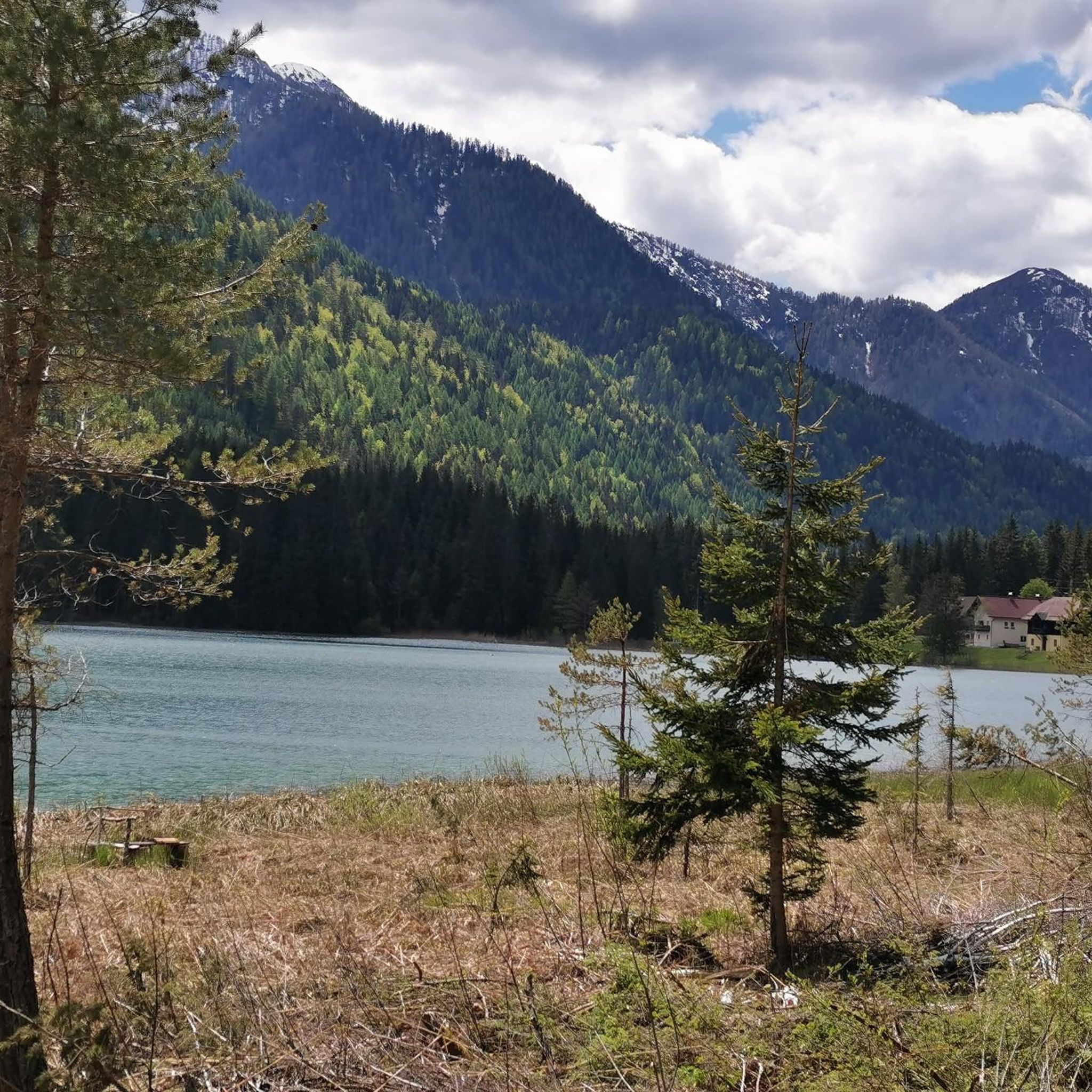
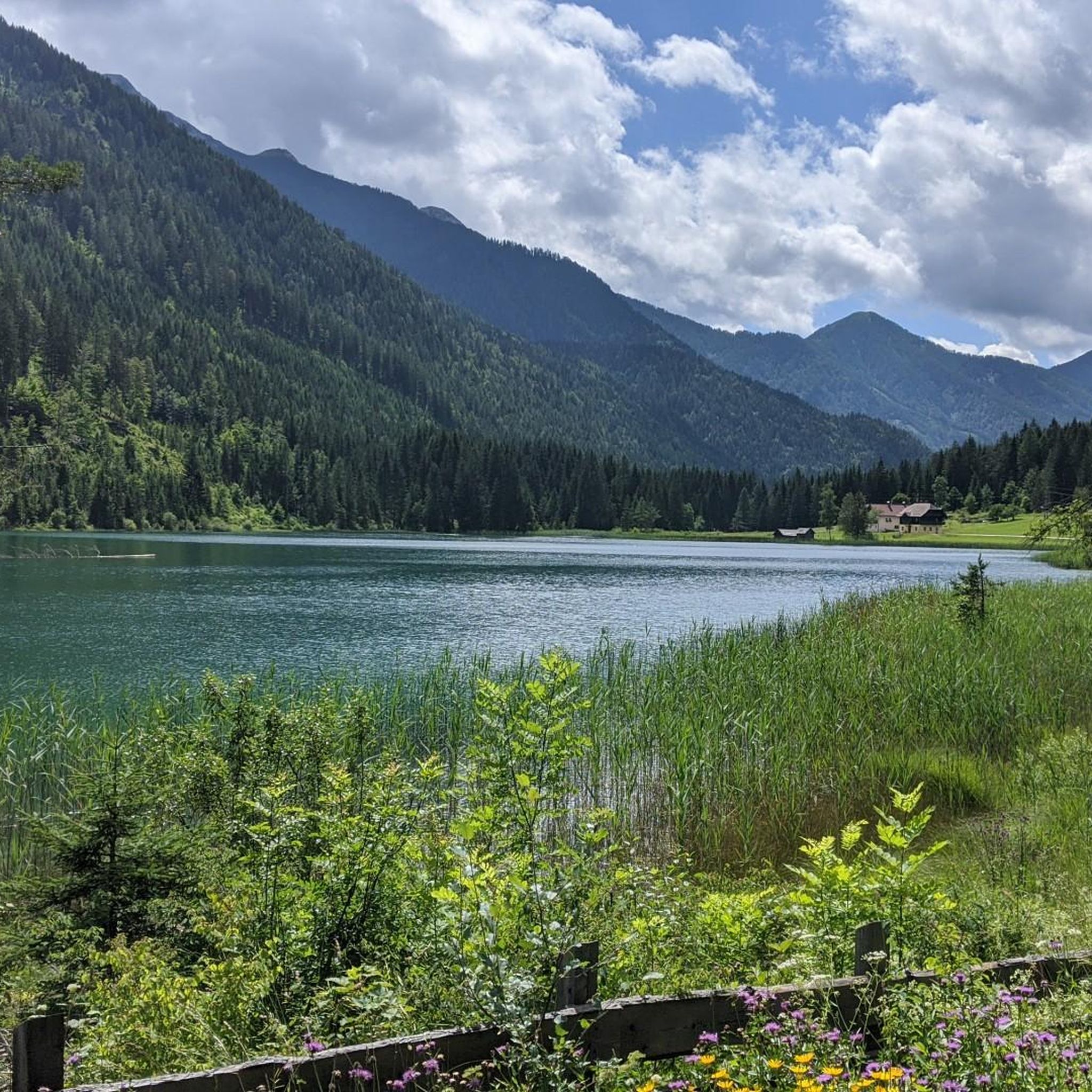
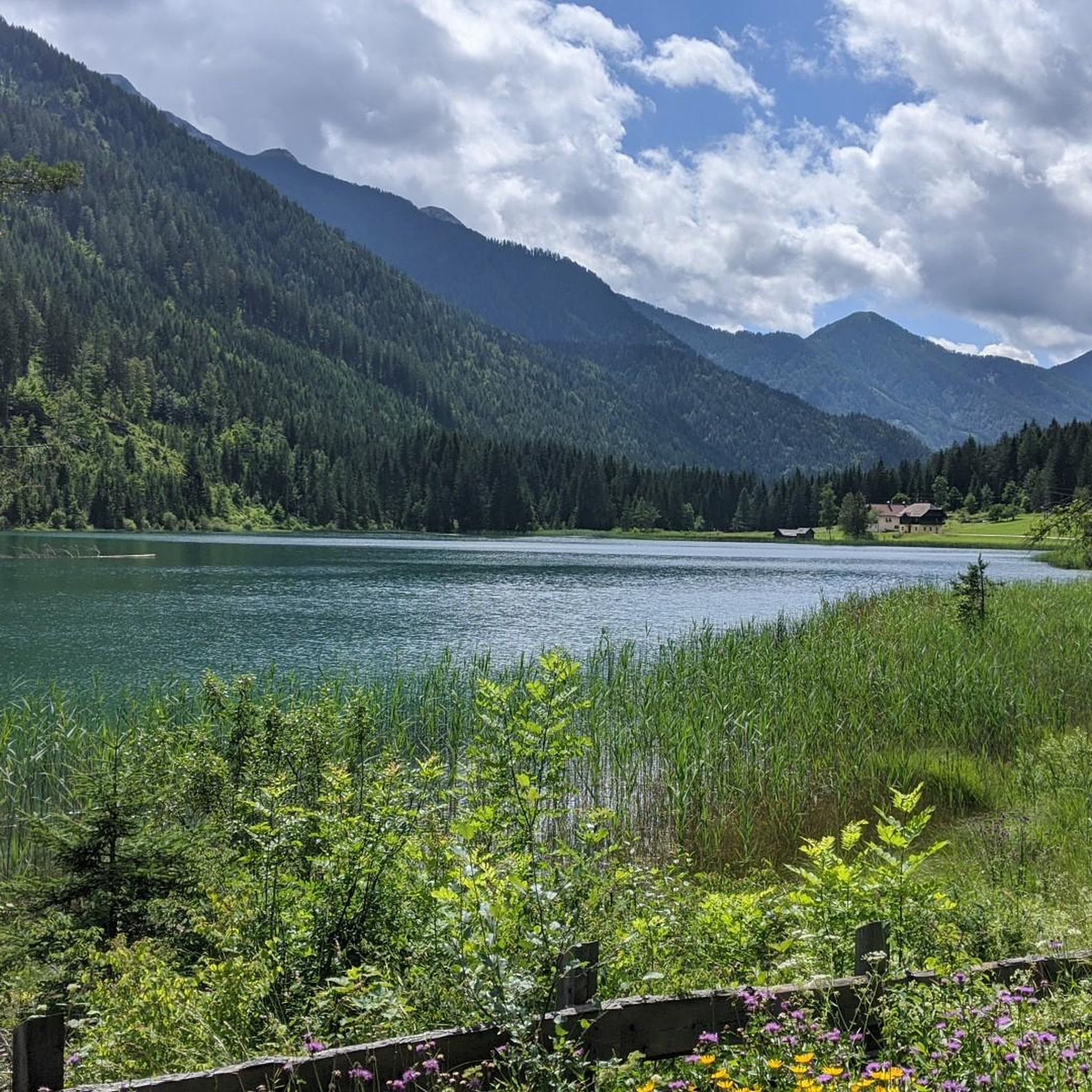
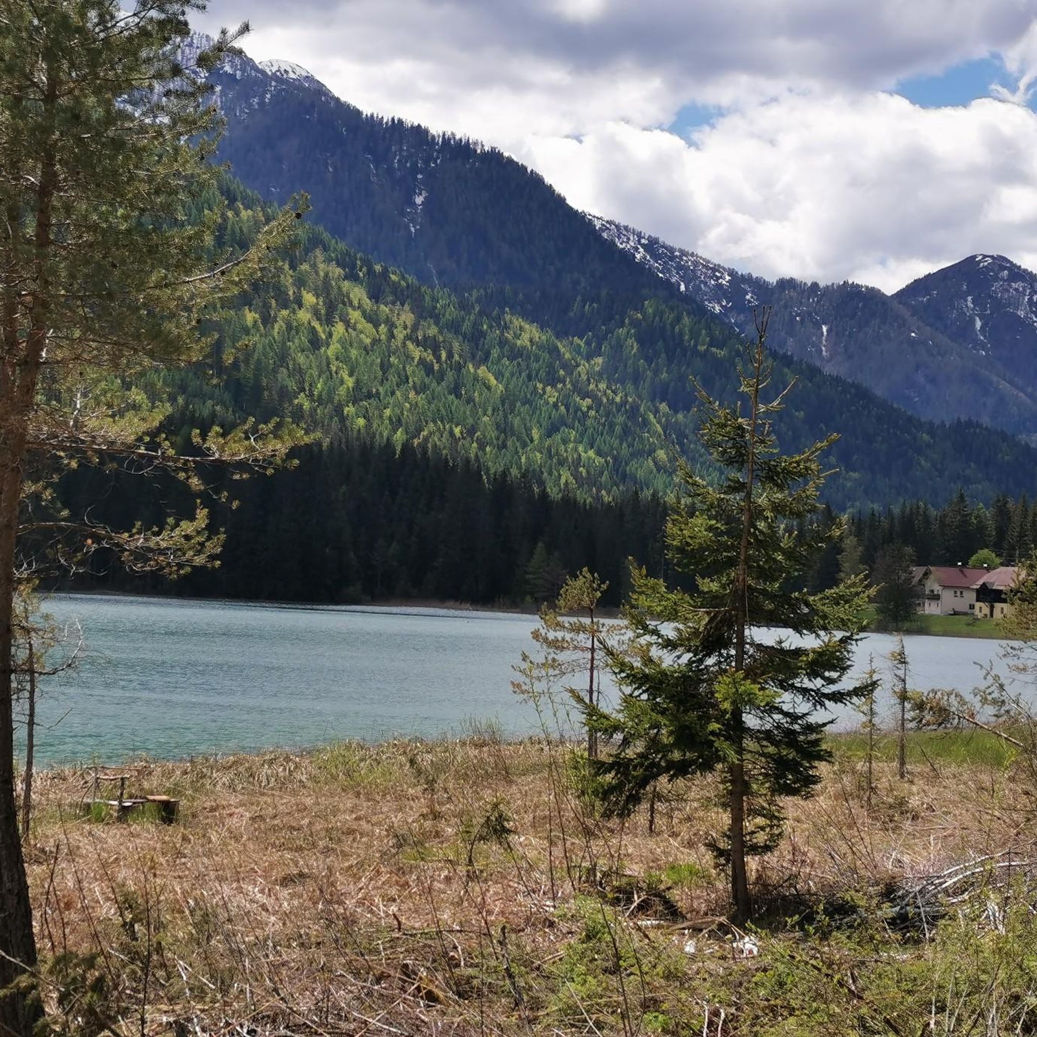
Mountaineering routes around Farchtensee are situated within the Gailtal Alps, a range characterized by dramatic rock formations, high valleys, and lush meadows. The region is part of a protected landscape, offering a pristine natural environment for outdoor activities. This mountainous backdrop provides diverse terrain, from accessible paths around the lake to challenging alpine routes in the broader Gailtal Alps. The area features spectacular panoramic views and rugged karst topography, making it a compelling destination for mountaineers.
Best mountaineering routes around…
Last updated: August 5, 2026
5.0
(1)
6
hikers
18.4km
07:35
1,190m
1,190m
Hard mountaineering route. Very good fitness required. Sure-footedness, sturdy shoes and alpine experience required.
4.5
(2)
12
hikers
12.6km
07:05
1,270m
1,270m
Hard mountaineering route. Very good fitness required. Mostly accessible paths. Sure-footedness required.

Sign up for free
5.0
(2)
11
hikers
12.4km
07:44
1,410m
1,410m
Hard mountaineering route. Very good fitness required. Sure-footedness, sturdy shoes and alpine experience required.
5.0
(1)
4
hikers
6.74km
02:17
340m
330m
Hard mountaineering route. Good fitness required. Sure-footedness, sturdy shoes and alpine experience required.
4.5
(2)
35
hikers
12.4km
04:49
710m
710m
Moderate mountaineering route. Good fitness required. Mostly accessible paths. Sure-footedness required.
Get access to more routes and recommendations from other explorers.
Sign up for free
Already have an account?
Our route recommendations are based on thousands of hikes, rides, and runs completed by other people on komoot.
Start today with a free account
Your next adventure awaits.
Login or Signup
Tips from the Community

From the St. Steben mountain church, you enjoy a sensational view over the Gail valley. Two steep mountain paths lead through magnificent mountain forest and make the tour a perfect circular hike starting from the Siebenbrünner pasture.
0
0

The cycle path is not just any old one… here you can find information about how the forest glassworks used to work and directly opposite is this small and pretty church
1
0

Very nice hut, reasonable prices, large portions
1
0

Toll is included in the guest card. Great starting point
1
0

Very scenic section with great views
0
0

Interesting information about the hard life of the people in this valley who made beautiful glass vessels.
0
0

Good starting point for hikes to Martennock, Goldeck or Seetalnock. It is possible to climb all three peaks directly.
1
0
Frequently Asked Questions
What is the general difficulty level of mountaineering routes around Farchtensee?
The mountaineering routes in the Farchtensee area, nestled within the Gailtal Alps, primarily cater to experienced mountaineers. Out of 14 available routes, 12 are classified as difficult, with 2 moderate options. These routes often involve significant elevation gains and require good fitness, sure-footedness, and alpine experience.
Are there any family-friendly mountaineering options near Farchtensee?
While most mountaineering routes in the immediate Farchtensee area are challenging, the broader Gailtal Alps region does offer easier hikes suitable for families. These are typically found around the lake itself or in lower valleys, providing a taste of the alpine scenery without the technical demands of high-altitude mountaineering. Always check specific route details for suitability.
What kind of unique natural features can I expect to see on these mountaineering routes?
The Farchtensee region, part of a protected landscape, is known for its pristine nature. Mountaineering routes often feature spectacular rock formations, lush green meadows, and high valleys within the Gailtal Alps. You'll encounter rugged karst topography, and the area is home to mountain lakes, picturesque creeks, and cascading waterfalls. Keep an eye out for varied flora, including alpine roses.
When is the best time of year for mountaineering around Farchtensee?
The best time for mountaineering in the Gailtal Alps, including the Farchtensee area, is typically during the warmer months, from late spring to early autumn. This period offers more stable weather conditions and less snow at higher elevations, making routes more accessible and safer. Always check local weather forecasts and trail conditions before heading out.
Are there any circular mountaineering routes available?
Yes, there are several circular mountaineering routes. For instance, the Spitzegel Summit loop from Weißenbach is a challenging 18.4 km loop offering sustained climbs to a prominent summit. Another option is the Stosia and Techendorfer Alm – Latschur Summit loop from Terrassencamping Ronacher, which traverses alpine meadows and leads to multiple high points.
What do other mountaineers say about the routes in Farchtensee?
The mountaineering routes around Farchtensee are highly regarded by the komoot community, boasting an impressive average rating of 4.9 stars from over 10 reviews. Mountaineers frequently praise the dramatic rock formations, the pristine natural environment, and the challenging yet rewarding alpine experiences offered by the trails.
Can I bring my dog on the mountaineering trails in the Gailtal Alps near Farchtensee?
Many trails in the Gailtal Alps are dog-friendly, but it's crucial to be aware of local regulations, especially within protected landscape areas like Farchtensee. Always keep your dog on a leash, especially near livestock or wildlife, and ensure they are fit enough for the terrain. Some routes, particularly the more technical ones, might not be suitable for dogs.
Are there any less crowded mountaineering trails if I'm looking for solitude?
Given the extensive network of trails in the Gailtal Alps, it is possible to find less crowded options, especially outside of peak season or by choosing routes that are more remote. The Rest Area – St. Stefan Church loop from Förolach, for example, offers varied alpine terrain and can provide a more secluded experience compared to the most popular summits.
Where can I find parking for mountaineering routes in the Farchtensee area?
Parking availability varies by trailhead. For routes like the Bench loop from Lake Pressegg, you can typically find parking near the lake. For routes starting from specific villages or alpine huts, designated parking areas are usually available. It's advisable to check the starting point of your chosen route for specific parking information.
Are there any mountain huts or accommodation options near the mountaineering routes?
The Gailtal Alps region offers various accommodation options, including mountain huts and guesthouses, which are popular among mountaineers. While Farchtensee itself is unbuilt upon, nearby villages and higher alpine areas provide opportunities for overnight stays, allowing for multi-day tours or early starts for challenging routes.
What kind of gear is recommended for mountaineering in Farchtensee?
Given that most routes are classified as difficult, sturdy hiking boots with good ankle support are essential. Depending on the season and specific route, you might also need trekking poles, appropriate layers of clothing for changing weather, navigation tools, sufficient water and food, and potentially a helmet for more exposed sections. Always prepare for alpine conditions.
Can I reach mountaineering trailheads near Farchtensee using public transport?
Public transport options to reach specific trailheads in the Gailtal Alps can be limited, especially for more remote starting points. While some villages might be accessible by bus, direct connections to all mountaineering trailheads are not always available. Planning ahead and checking local bus schedules or considering a combination of public transport and a short taxi ride is recommended.
Most popular routes around Farchtensee

Get inspired with the komoot mobile app


Explore more
Browse the best Mountain Hikes & Routes in other regions.
