The best road cycling routes around Höllerersee
4.7
(216)
2,695
riders
206
rides
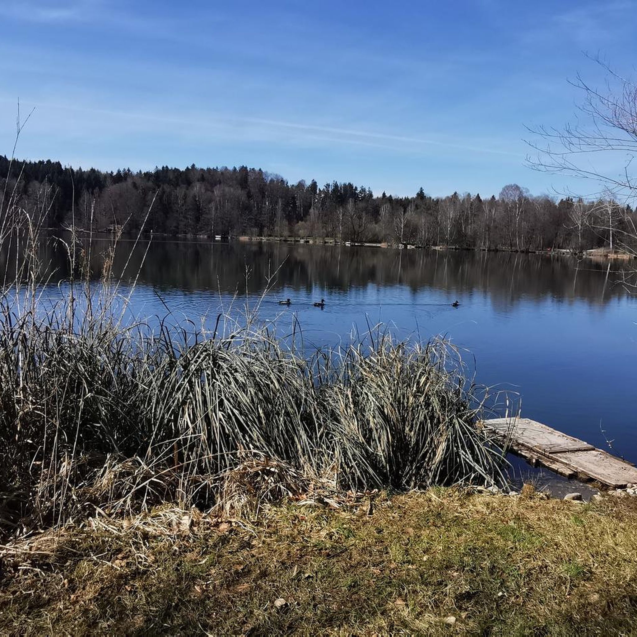
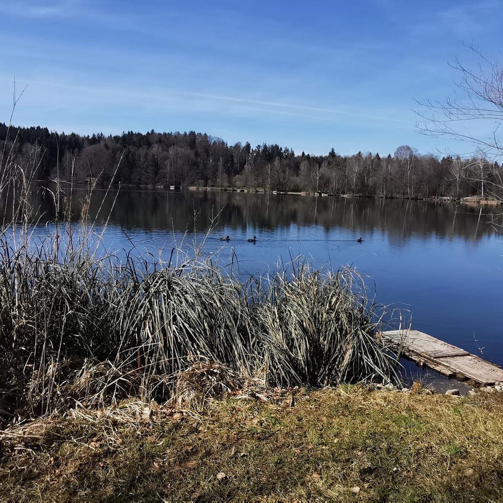
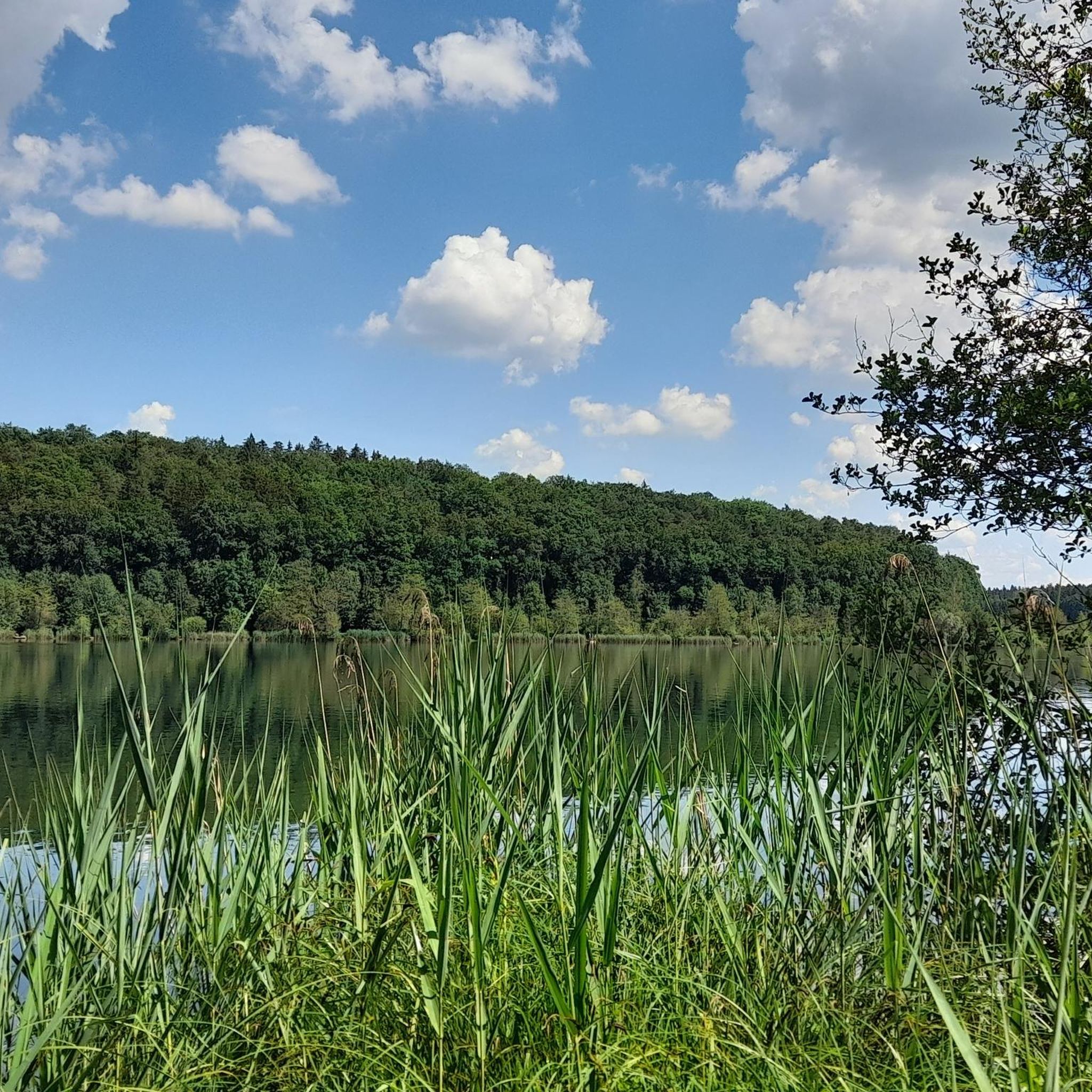
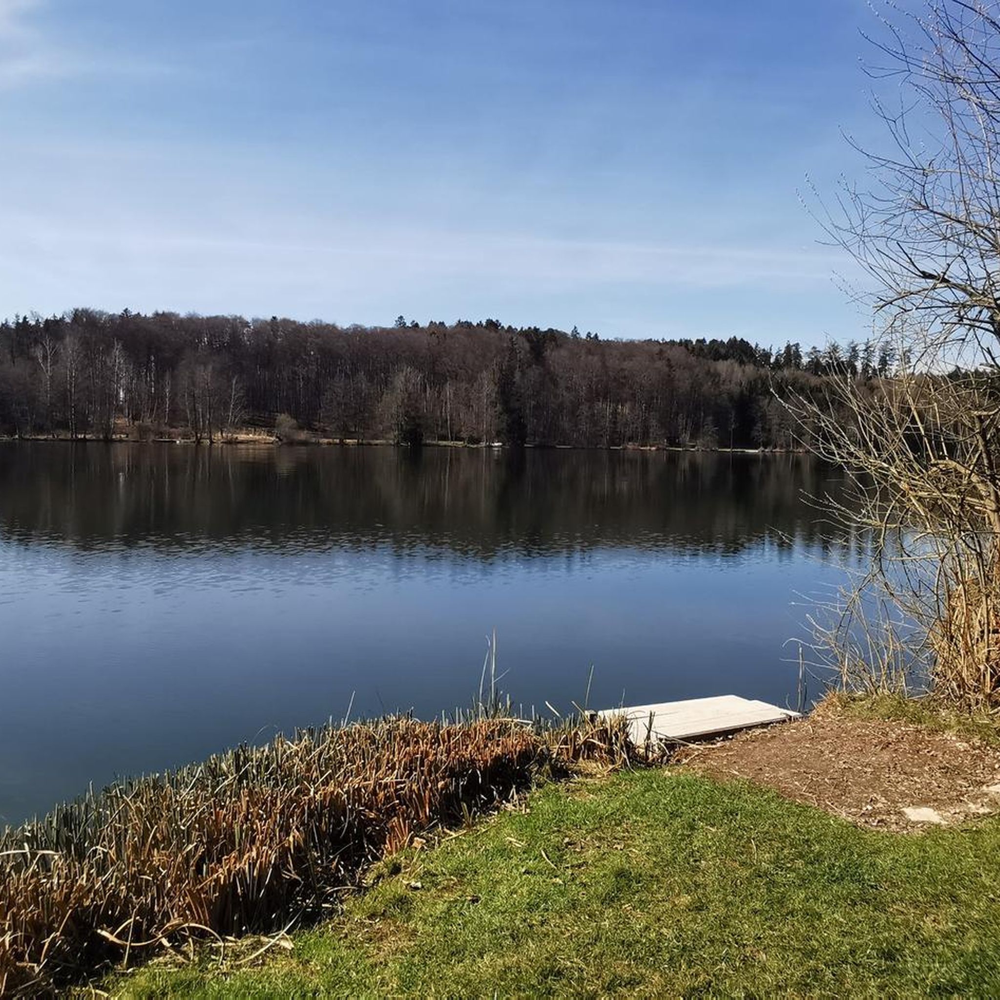
Road cycling around Höllerersee is characterized by its location in Upper Austria, featuring a landscape of mixed forests, agricultural land, and moraine hills. The region's rural setting provides varied terrain for road cyclists, with routes often following mostly paved surfaces. Höllerersee itself is nestled in a forested hollow, offering a sheltered environment for cycling. The area provides routes with varying lengths and elevation gains, catering to different fitness levels.
Best road cycling routes around Höllerersee
- The most popular road cycling…
Last updated: July 5, 2026
22
riders
Moderate road ride. Good fitness required. Mostly well-paved surfaces and easy to ride.
14
riders
Moderate road ride. Good fitness required. Mostly well-paved surfaces and easy to ride.

Sign up for free
16
riders
Moderate road ride. Good fitness required. Mostly well-paved surfaces and easy to ride.
11
riders
Moderate road ride. Good fitness required. Some segments of this route may be unpaved and difficult to ride.
5
riders
Moderate road ride. Good fitness required. Some segments of this route may be unpaved and difficult to ride.
Get access to more routes and recommendations from other explorers.
Sign up for free
Already have an account?
Our route recommendations are based on thousands of hikes, rides, and runs completed by other people on komoot.
Start today with a free account
Your next adventure awaits.
Login or Signup
Tips from the Community

The pilgrimage church of St. Coloman lies high above Lake Tachinger.
6
0


After a strenuous climb by bike, it is nice to enjoy a cool drink or possibly a delicious meal. With a beautiful view of the surrounding landscape
0
0

A beautiful view of the Waginger See as well.
1
0

The history of the bridge in Altach is a fascinating example of infrastructure development that creates crucial connections between communities. For centuries, this bridge was the only link between Oberndorf and Laufen, and also the only crossing over the Salzach River between Salzburg and Tittmoning. The bridge has weathered many floods, which repeatedly destroyed it. Between 1901 and 1903, a new bridge was finally built to meet the needs of the time. In 2006, the construction of the Europasteg bridge marked another step in continuing this historic bridge tradition. The modern footbridge, designed with a length of 131.20 meters, runs slightly offset from the old bridge, offering an interesting perspective on the region's history. At low water, the remains of the old wooden bridge piers are even visible, testifying to the bridge's long construction history and humanity's resilience in the face of natural forces. This new footbridge stands not only as an architectural masterpiece but also as a symbol of the connection and unity between the two banks and the communities they serve.
3
0

There is also gastronomy
0
0


The approach from Austria (Ettenau) is a bit tricky. It ends in a very steep ramp on a busy federal highway. So leave your bikes at the bottom or take a wide detour and enter the town square via the Laufen Gate. Have fun, visit the Ponlach Graben, the castle with its interesting museum, and the cafés on the town square and in the castle. The walk is worth it.
0
0
Frequently Asked Questions
How many road cycling routes are available around Höllerersee?
There are over 200 road cycling routes around Höllerersee, offering a wide range of options for different skill levels. The komoot community has explored more than 2,800 of these routes, highlighting the area's popularity among cyclists.
What is the typical terrain and elevation like for road cycling around Höllerersee?
The terrain around Höllerersee is characterized by mixed forests, agricultural land, and moraine hills, with routes often following mostly paved surfaces. You'll find varied elevation gains; for instance, the Kaiserbuche Climb – Haunsberg Summit loop from St. Pantaleon-Reith features over 700 meters of ascent, while many other routes offer more moderate climbs.
Are there road cycling routes suitable for beginners or advanced cyclists?
Yes, Höllerersee offers routes for all abilities. There are 37 easy routes perfect for beginners, 168 moderate routes for those with some experience, and 13 more challenging routes for advanced cyclists seeking significant elevation gains and longer distances.
What are some notable landmarks or natural features I might see while road cycling?
While cycling, you'll experience the region's natural beauty, including the Höllerersee itself, nestled in a forested hollow. The routes often pass through verdant mixed forests and agricultural landscapes, offering views of moraine hills. Some routes, like the Europe Bridge Laufen–Oberndorf – Tittmoning Town Square loop from Wildshut Kirchberg, take you through rural areas with scenic vistas.
What do other road cyclists enjoy most about road cycling in Höllerersee?
The area is highly rated by the komoot community, with an average score of 4.8 stars from over 200 reviews. Cyclists often praise the varied terrain, the well-maintained paved surfaces, and the beautiful natural surroundings of mixed forests and the lake itself, which provide a sheltered and enjoyable cycling experience.
Are there any circular road cycling routes around Höllerersee?
Yes, many of the road cycling routes around Höllerersee are designed as loops, allowing you to start and end at the same point. For example, the Biri Climb to St. Radegund – Chapel Near Fucking loop from St. Pantaleon-Reith is a popular circular route covering over 36 kilometers.
What is the best time of year for road cycling around Höllerersee?
Höllerersee benefits from a pleasant climate, making it enjoyable for road cycling through much of the year. The lake is known as one of Austria's warmest, and the surrounding forested hollow provides some shelter from wind. Spring and autumn offer comfortable temperatures and beautiful scenery, while summer is also popular, though it can be warmer.
Are there family-friendly road cycling options in the Höllerersee area?
Yes, with 37 easy routes available, there are plenty of options suitable for families. These routes typically feature less elevation gain and shorter distances, allowing for a more relaxed cycling experience through the scenic rural landscapes.
Where can I find parking for road cycling routes near Höllerersee?
Given the rural setting and the starting points of many routes, parking is generally available in the vicinity of trailheads or nearby villages. For specific routes, it's advisable to check the route details on komoot, as they often include information on suitable starting points and parking options.
Are there cafes, pubs, or accommodation options near the road cycling routes?
The region around Höllerersee is dotted with rural villages and towns. You'll find various cafes, pubs, and accommodation options in these areas, particularly in places like St. Pantaleon-Reith or Wildshut Kirchberg, which are common starting points for many routes. These establishments offer opportunities to refuel and relax after your ride.
Can I access road cycling routes around Höllerersee using public transport?
While the area is rural, some villages and towns that serve as starting points for routes may have public transport connections. It's recommended to check local bus or train schedules for specific locations, especially if you plan to bring your bike, as policies for bike transport can vary.
What is the average duration for a road cycling tour in this region?
The duration of road cycling tours around Höllerersee varies significantly based on the route's length and difficulty. Many moderate routes, such as the Laufen Town Square – Europe Bridge Laufen–Oberndorf loop from St. Pantaleon-Reith, can take around 2.5 to 3 hours, while shorter, easier loops might be completed in under 2 hours.
Most popular routes around Höllerersee

Get inspired with the komoot mobile app


Explore more
Browse the best Road cycling routes in other regions.
