The best mountain hikes around Turrachsee
4.8
(35)
359
hikers
19
hikes
Mountaineering routes around Turrachsee are situated on the Turracher Höhe plateau, an elevated region at approximately 1,800 meters (5,900 feet) characterized by mountain pastures and peaks. The area features several mountain lakes, including Turrachsee itself at 1,763 meters above sea level. Extensive stone pine forests contribute to the natural landscape, providing varied terrain for ascents. Notable peaks like the 2,208-meter-high Schoberriegel and the 2,441-meter-high Eisenhut offer challenging mountaineering experiences.
Best mountaineering routes around Turrachsee
- The most popular mountaineering route is…
Last updated: July 9, 2026
4.0
(5)
26
hikers
Hard mountaineering route. Good fitness required. Sure-footedness, sturdy shoes and alpine experience required.
5.0
(3)
19
hikers
Hard mountaineering route. Good fitness required. Sure-footedness, sturdy shoes and alpine experience required.

Sign up for free
8
hikers
Hard mountaineering route. Good fitness required. Sure-footedness, sturdy shoes and alpine experience required.
5.0
(1)
6
hikers
Hard mountaineering route. Very good fitness required. Mostly accessible paths. Sure-footedness required.
5.0
(9)
93
hikers
4.88km
02:49
390m
390m
Hard mountaineering route. Good fitness required. Sure-footedness, sturdy shoes and alpine experience required.
Get access to more routes and recommendations from other explorers.
Sign up for free
Already have an account?
Our route recommendations are based on thousands of hikes, rides, and runs completed by other people on komoot.
Start today with a free account
Your next adventure awaits.
Login or Signup
Popular around Turrachsee


Tips from the Community

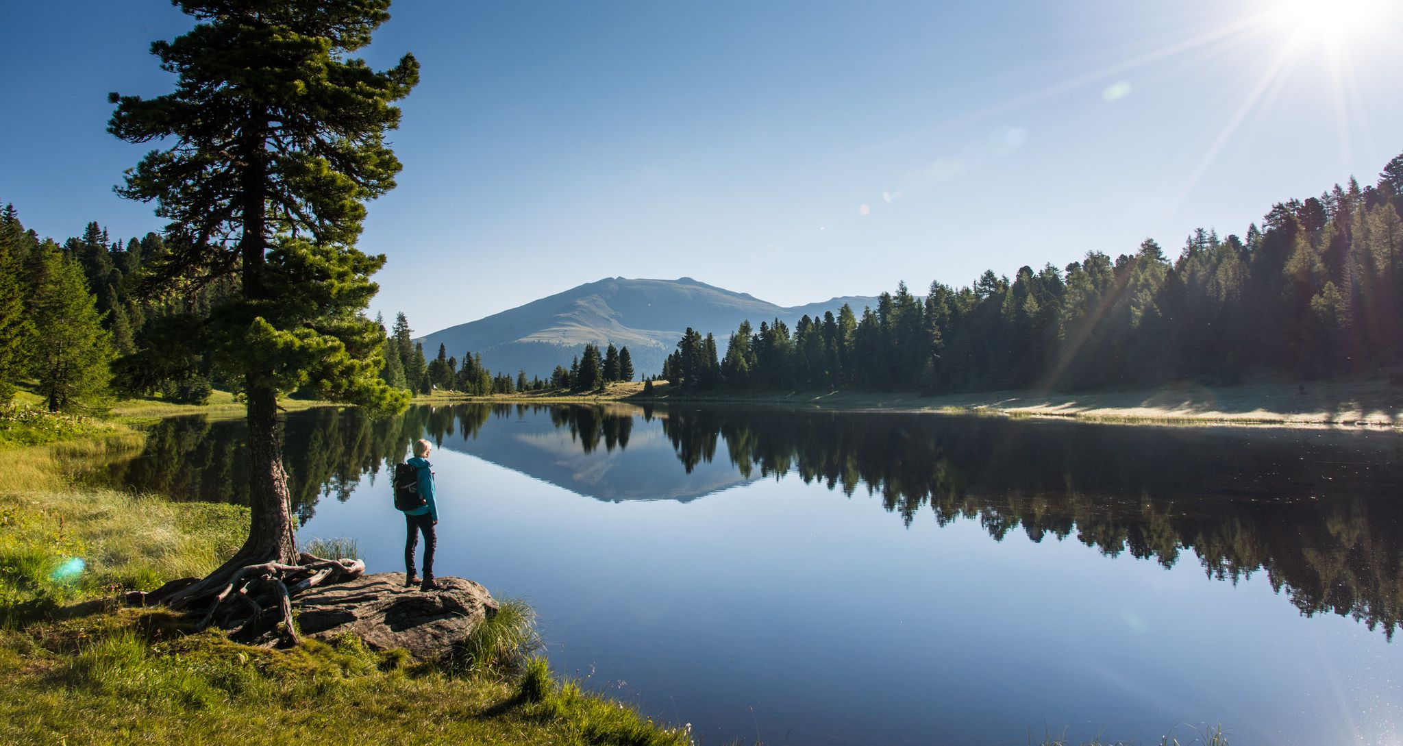
Robust Swiss Stone Pine The Swiss Stone Pine belongs to the pine family and is the tree of the high mountains, and can live for several hundred years. The Swiss Stone Pine is a typical locality for the Turracher Höhe, as it is home to the largest contiguous Swiss Stone Pine stand in the Eastern Alps.
0
0
The Salzsteig trail leads down to the Turracher Höhe. The path requires absolute surefootedness. Once at the bottom, a walk around Lake Schwarzsee is recommended.
1
0
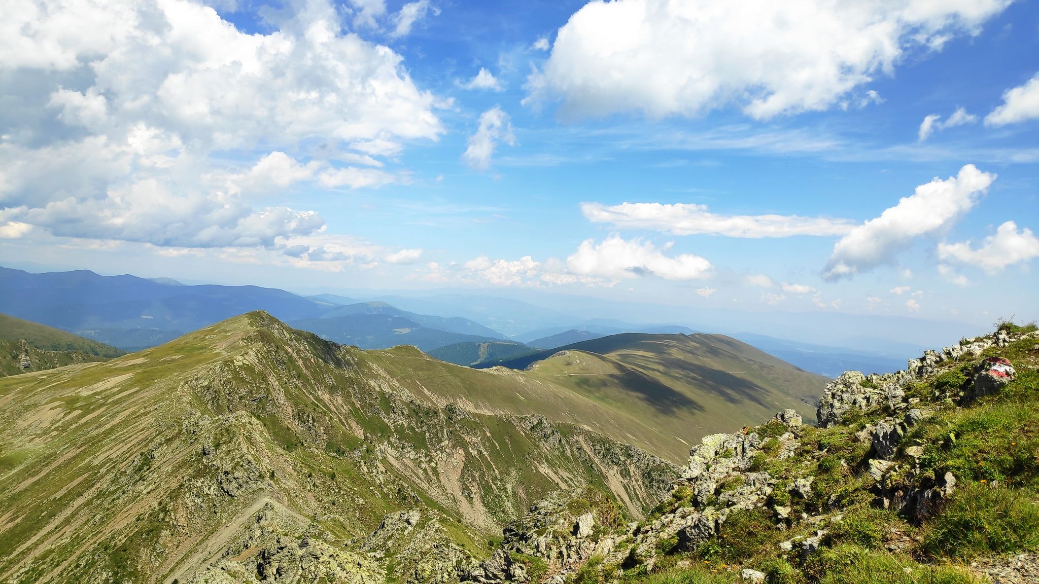
The Schoberriegel is a 2,208 m (7,208 ft) high mountain located on the border of the municipalities of Reichenau and Albeck on the Turracher Höhe in the Gurktal Alps. The western and eastern flanks are steep and rocky. A gently sloping ridge leads to the summit from the north. To the south, the ridge leads to the summit of the Gruft. It is a popular hiking mountain due to its beautiful views of the Nockberge Mountains and the Turracher Höhe. A summit cross with a summit register is located at the summit.
1
0
From the south, a ridge path leads to the summit of the Gruft, which then continues to the summit of the Schoberriegel. Both are popular hiking peaks due to their beautiful views of the Nockberge and Turracher Höhe.
0
0
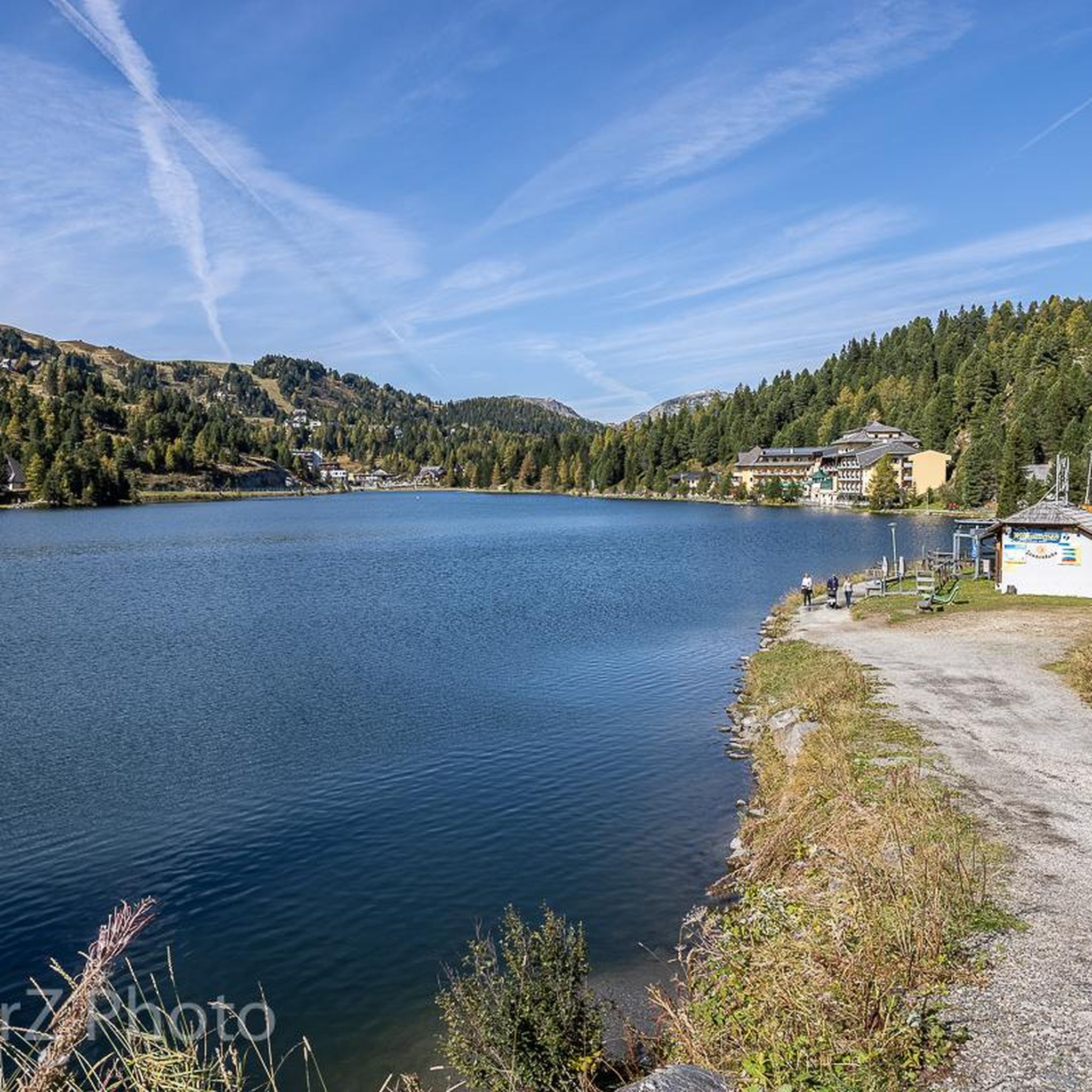
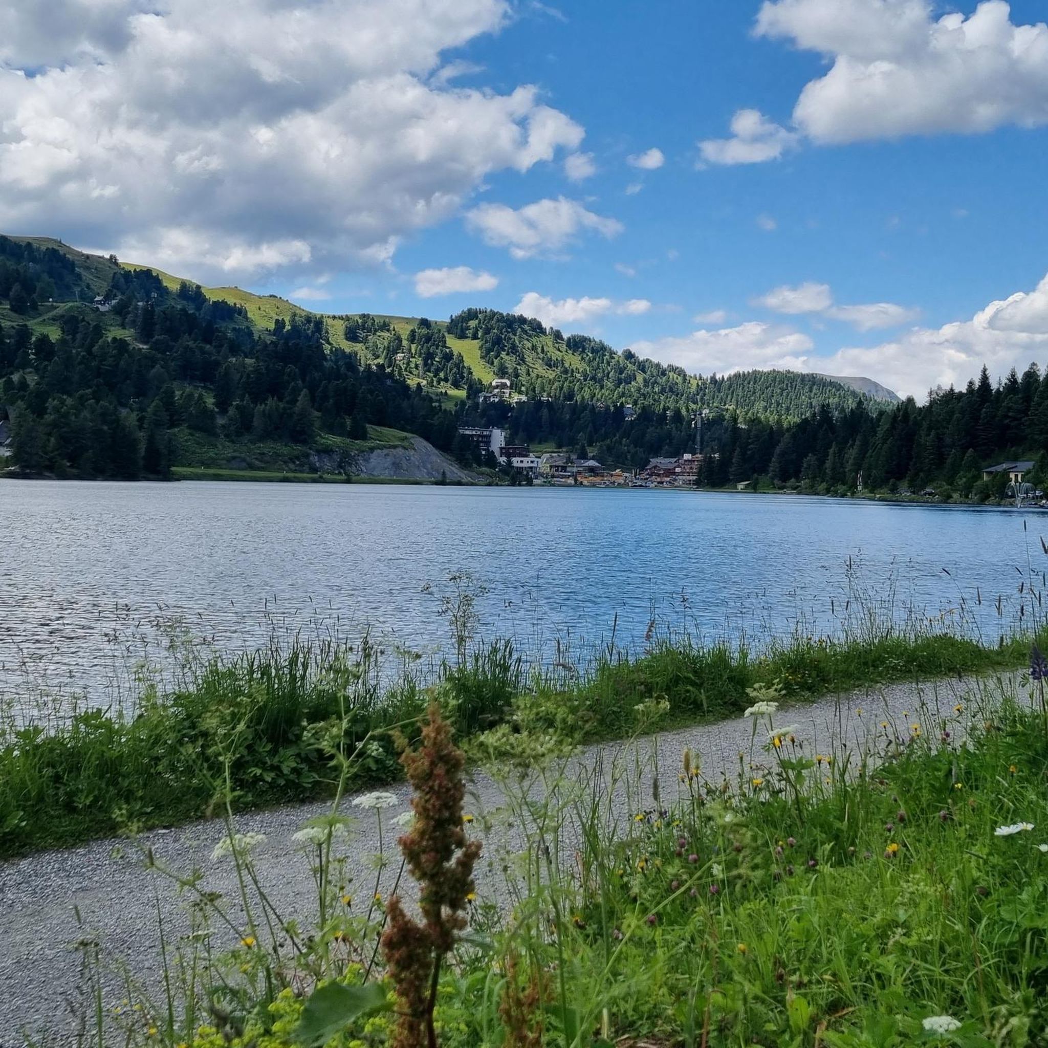
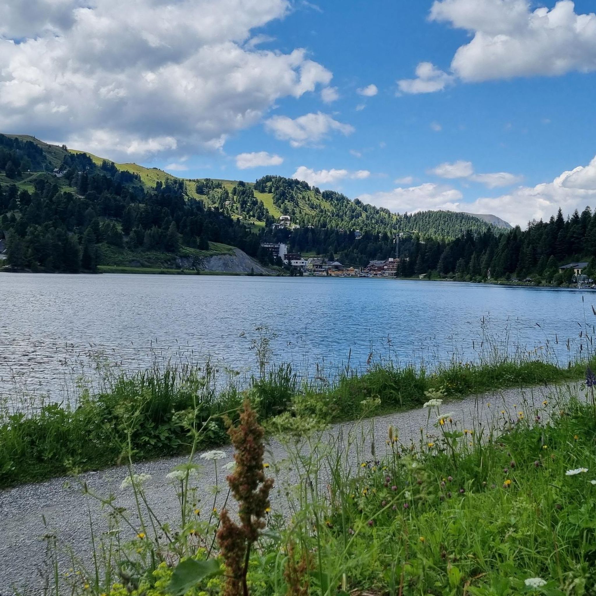
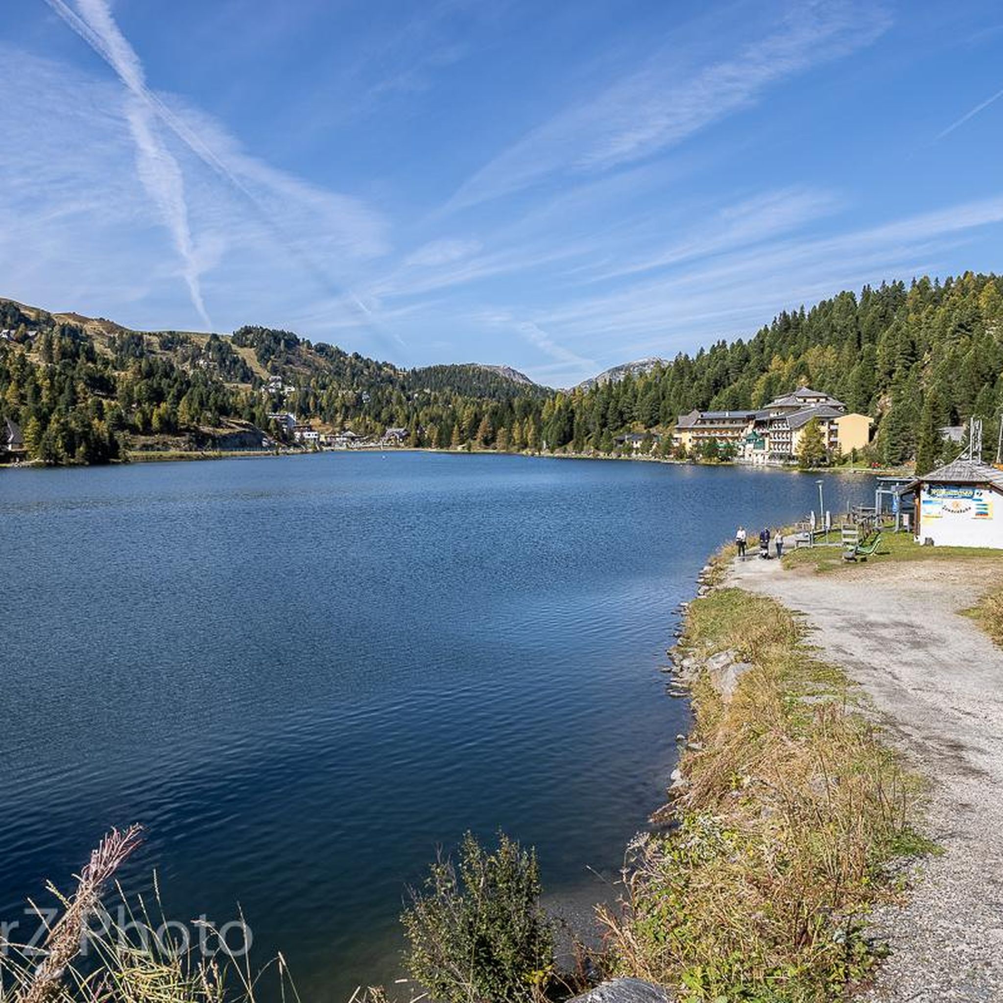
Lake Turracher See The largest of the three lakes on the Turracher Höhe is up to 33 meters deep. Its water is of excellent quality and reaches temperatures of up to 20 degrees Celsius in summer. In winter, the lake freezes over. The thick layer of ice supports skiers, hikers, cross-country skiers, and ice skaters.
1
0

Delicious food is available here and the prices are quite reasonable for a mountain hut
0
0
With photo station by Nocky
0
0

Done. Refill fluids, sign the summit log, and back down
2
0
Frequently Asked Questions
How many mountaineering routes are available around Turrachsee?
There are over 20 mountaineering routes around Turrachsee listed on komoot. These routes cater to various skill levels, from moderate ascents to challenging summit routes, all set within the high-altitude plateau, mountain lakes, and dense stone pine forests of the region.
What kind of terrain can I expect on mountaineering routes in Turrachsee?
Mountaineering routes around Turrachsee feature diverse terrain. You'll encounter expansive mountain pastures, undulating peaks, and the unique atmosphere of Austria's largest continuous stone pine forests. The trails often lead past serene mountain lakes, including Turrachsee itself, and ascend to notable peaks like the 2,208-meter-high Schoberriegel and the 2,441-meter-high Eisenhut.
Are there any circular mountaineering routes in the Turrachsee area?
Yes, many mountaineering routes around Turrachsee are designed as loops, allowing you to start and end at the same point. For example, you could try the Turracher See – Salzsteig Trail loop from Turracher Höhe, which offers views of the lake and alpine landscape, or the more challenging Kornock Summit loop from Turracher Höhe for expansive views.
What natural features or landmarks can I see along the mountaineering routes?
The Turrachsee region is rich in natural beauty. Along the routes, you'll encounter several mountain lakes, including Turrach Lake, Grünsee, and Schwarzsee. The area is also known for its extensive stone pine forests. For a challenging ascent with rewarding views, consider the Ridge Hike to Rinsennock – Rinsennock Summit (2,334 m) loop from Turracher Höhe.
Are there any family-friendly mountaineering options around Turrachsee?
While many routes are geared towards experienced mountaineers, the Turracher Höhe region also offers easier, accessible paths suitable for all fitness levels. These trails typically involve less elevation gain and shorter durations, making them ideal for families looking to enjoy the alpine scenery. The Turracher 3-Lakes Trail, for instance, is a popular option that guides visitors past the serene mountain lakes.
What are the best times of year for mountaineering in Turrachsee?
The summer months are generally the best time for mountaineering around Turrachsee, offering pleasant temperatures and clear trails. However, the Turracher Höhe plateau's elevated position means conditions can change quickly, so it's always wise to check the weather forecast before heading out. Some trails may also be accessible in late spring or early autumn, but always be prepared for cooler temperatures and potential snow at higher elevations.
Do I need any permits for mountaineering in the Turrachsee region?
Based on available information, there are no specific permits required for general mountaineering on the established trails in the Turrachsee region. However, it's always advisable to respect local regulations, private property, and any protected areas. For specific activities like climbing or if you plan to venture off marked trails, it's best to consult local tourism offices for any special requirements.
Where can I find parking for mountaineering trailheads around Turrachsee?
The Turracher Höhe area generally offers parking facilities near popular trailheads. Given its status as a destination for outdoor activities, you can often find designated parking areas close to the starting points of many mountaineering routes. It's recommended to check specific route descriptions or local maps for the most convenient parking options for your chosen tour.
Is public transport available to reach mountaineering trailheads in Turrachsee?
The Turracher Höhe region has local bus routes that can connect visitors to various points, including some trailheads. While direct train connections to the immediate Turrachsee area are limited due to its alpine location, buses often serve as a convenient way to access the plateau and its surrounding trails. It's best to check the current bus schedules for Turracher Höhe to plan your journey.
What are some challenging mountaineering routes for experienced climbers?
For experienced mountaineers seeking a challenge, the Turrachsee region offers several demanding routes. The Lattersteighöhe (2265 m) – Shelter below the Lattersteig loop from Turracher Höhe is a difficult, longer route with significant elevation gain. Other challenging options include ascents to peaks like the 2,441-meter-high Eisenhut, which require very good fitness, sturdy footwear, and alpine experience.
Are there any places to eat or stay near the mountaineering routes?
Yes, the Turracher Höhe plateau is a developed tourist area with amenities. You'll find various accommodation options, from hotels to guesthouses, as well as restaurants and cafes. For example, the Bauernstube is a restaurant in the vicinity. These facilities provide convenient places to refuel and relax before or after your mountaineering adventures.
What makes the Turrachsee region unique for mountaineering?
The Turrachsee region offers a unique mountaineering experience due to its high-altitude Turracher Höhe plateau, situated at approximately 1,800 meters. This creates a distinct alpine environment with expansive mountain pastures, picturesque mountain lakes like Turrachsee, and Austria's largest continuous stone pine forests. The combination of diverse terrain, challenging peaks, and serene natural beauty makes it a captivating destination.
What do other mountaineers say about the routes in Turrachsee?
The mountaineering routes in Turrachsee are highly rated by the komoot community, with an average score of 4.8 stars from more than 30 reviews. Mountaineers often praise the stunning alpine scenery, the well-maintained trails, and the variety of routes that cater to different skill levels. The unique stone pine forests and the views of the mountain lakes are frequently highlighted as memorable aspects of the tours.
Most popular routes around Turrachsee
Most popular attractions around Turrachsee

Get inspired with the komoot mobile app


Explore more
Browse the best Mountain Hikes & Routes in other regions.
