The best running trails around Cerkniško lake
182
runners
20
runs
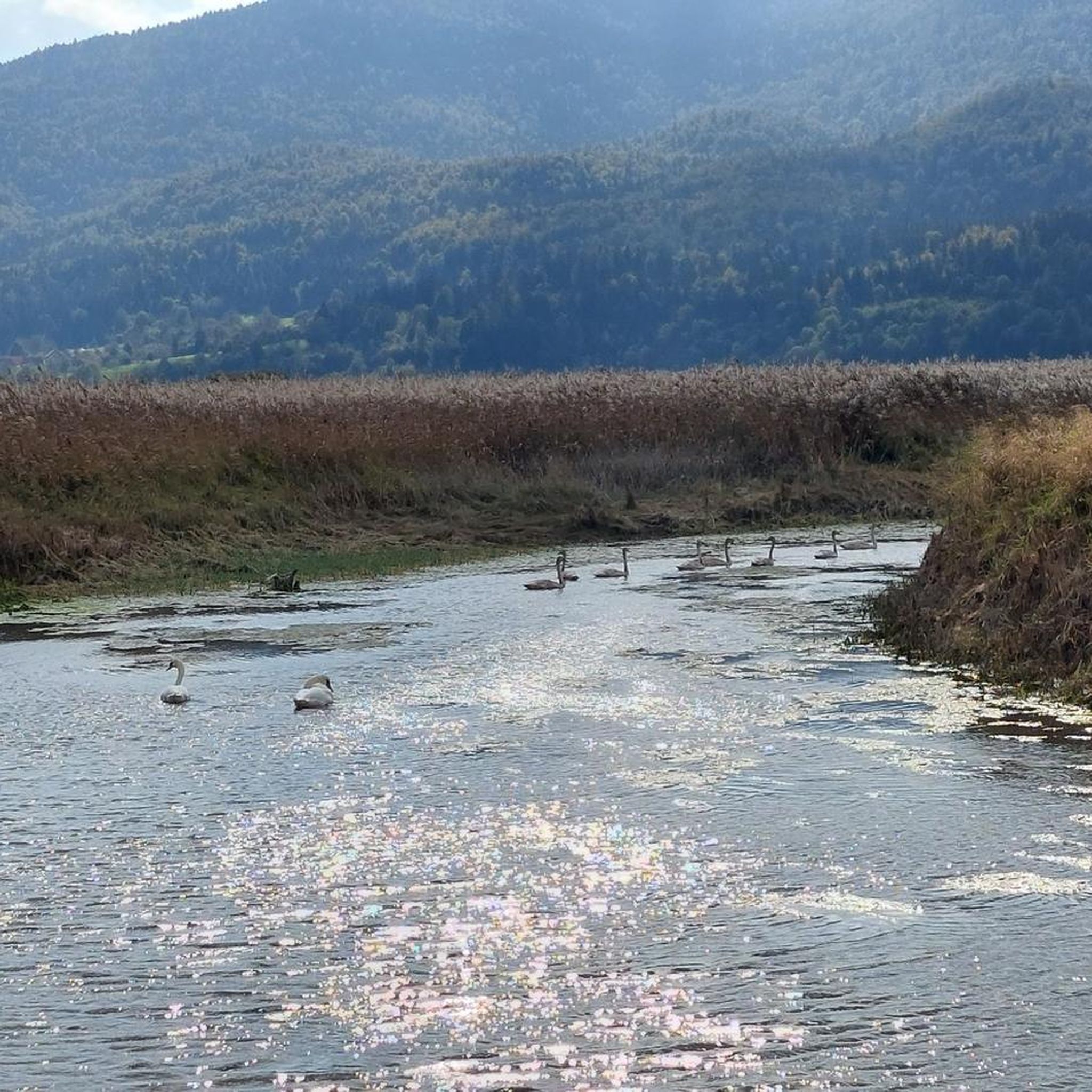
Jogging routes around Cerkniško lake traverse a unique intermittent lake, a karst phenomenon that transforms from a vast body of water to a dry plain. The region features diverse landscapes, including surrounding forests, meadows, and hills, offering varied terrain for running. This dynamic environment provides a range of running experiences, from flat paths around the lakebed to more challenging routes in the elevated areas. The trails cater to different fitness levels, with options for easy, moderate, and difficult runs.
Best…
Last updated: July 4, 2026
7
runners
6.74km
00:42
20m
20m
Moderate run. Good fitness required. Mostly paved surfaces. Suitable for all skill levels.
5
runners
11.8km
01:41
580m
580m
Hard run. Very good fitness required. Mostly paved surfaces. Suitable for all skill levels.

Sign up for free
2
runners
5.08km
01:00
460m
460m
Hard run. Very good fitness required. Mostly paved surfaces. Suitable for all skill levels.
4
runners
18.8km
02:17
630m
630m
Hard run. Very good fitness required. Mostly paved surfaces. Suitable for all skill levels.
3.0
(1)
3
runners
23.9km
03:37
1,240m
1,240m
Hard run. Very good fitness required. Sure-footedness, sturdy shoes and alpine experience required.
Get access to more routes and recommendations from other explorers.
Sign up for free
Already have an account?
Our route recommendations are based on thousands of hikes, rides, and runs completed by other people on komoot.
Start today with a free account
Your next adventure awaits.
Login or Signup
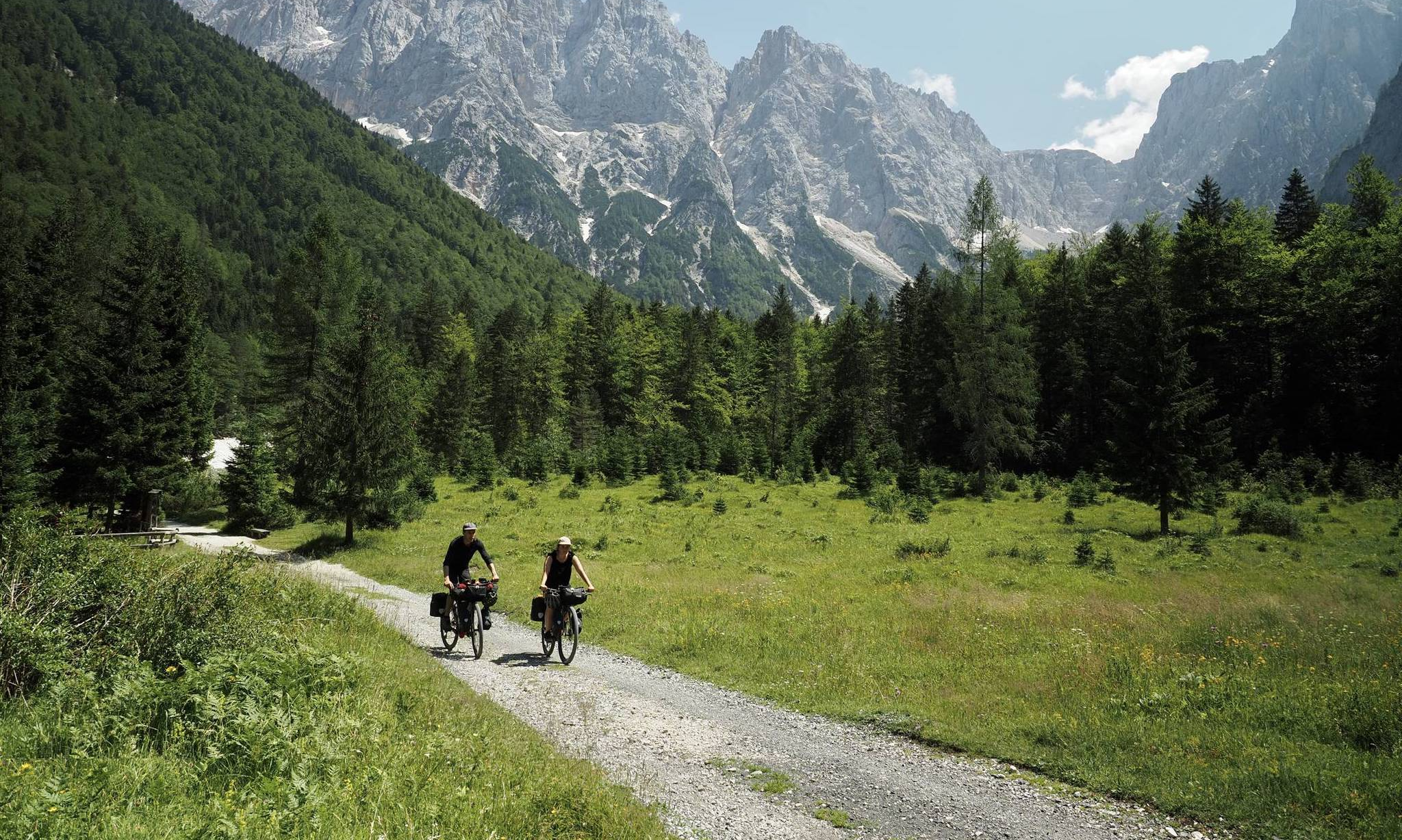
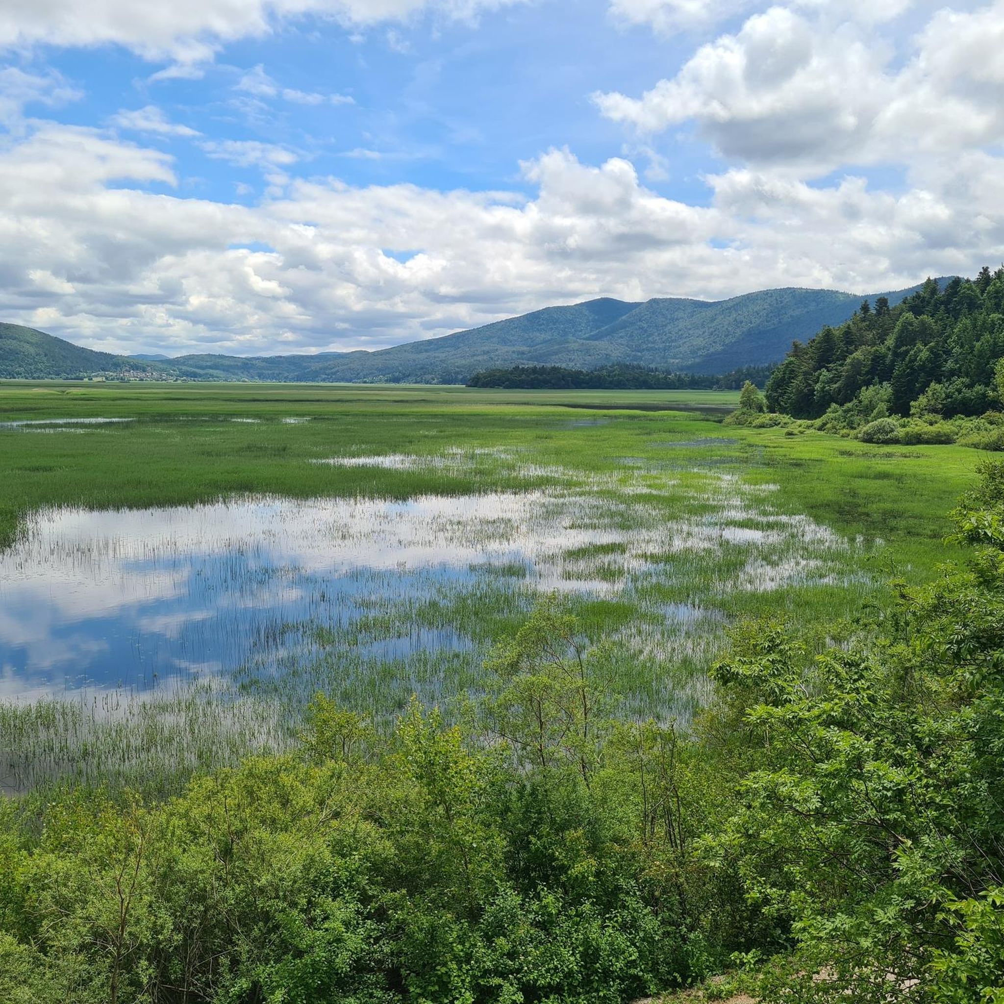
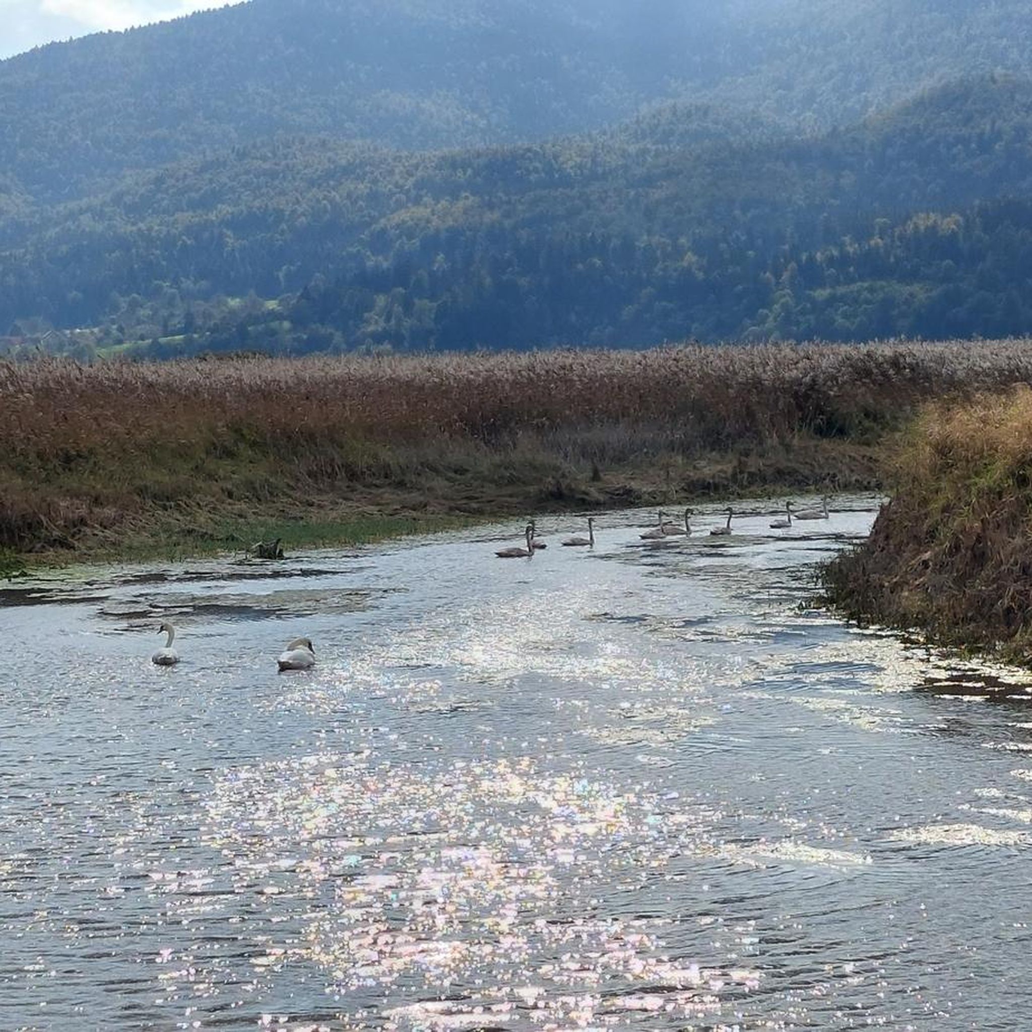

Other adventures around Cerkniško lake

Tips from the Community

Cerknika is a village where life is good which is best known for its lake Cerknisko Jezero, which is the largest intermittent lake in Europe. That is, in summer it recedes and decreases. In times of high water the lake begins about 2.5 kilometers south of Cerknica, in the village of Dolenje Jezero where the lake museum is located, which presents the functioning of this nature reserve. Cerknica has a bike workshop, which can come in handy in case of repairs. You will find camping by the lake and accommodation in the town centre.
3
0
Frequently Asked Questions
How many running routes are available around Cerkniško Lake?
Komoot offers over 20 diverse running routes around Cerkniško Lake, catering to various fitness levels. These include 1 easy route, 8 moderate paths, and 11 more challenging trails, ensuring there's something for every runner.
What makes jogging around Cerkniško Lake unique?
Jogging around Cerkniško Lake offers a truly unique experience due to its intermittent nature. This karst phenomenon means the landscape transforms throughout the year, from a vast lake to an expansive plain of meadows. You might find yourself running along a lake shore one season and across a dry lakebed the next, offering constantly changing scenery and a deep connection to nature. The area is also a Ramsar site and Natura 2000 area, rich in biodiversity.
What do other runners say about the trails here?
Over 180 runners have explored the Cerkniško Lake area using komoot, praising its varied terrain and unique natural beauty. Many appreciate the dynamic landscape, from flat paths around the lakebed to challenging climbs in the surrounding hills, making every run an adventure.
Are there any easy running paths suitable for beginners or a relaxed pace?
Yes, there are routes suitable for beginners. While many trails offer moderate to difficult challenges, you can find easier sections, especially around the lakebed when it's dry. For a relatively flat and accessible run, consider the Cerknica loop from Cerknica, a moderate 4.2-mile (6.7 km) path that offers a pleasant run around the town.
Are there challenging routes for experienced runners seeking elevation gain?
Absolutely. The region is known for its hilly terrain, especially around the Javorniki mountains and Slivnica. For a significant challenge, try the Debeli vrh – Velika Slivnica loop from Cerknica, a difficult 5.9-mile (9.4 km) trail with substantial elevation gain. Another demanding option is the Velika Slivnica loop from Grahovo, a 7.4-mile (11.8 km) route through the surrounding hills.
What interesting sights or viewpoints can I find along the running paths?
The running paths around Cerkniško Lake offer numerous scenic points. You can run past the iconic Lake Cerknica itself, experiencing its changing character. For educational insights into the local ecosystem, consider routes that pass the Drvošec Educational Trail. Additionally, viewpoints from Kuharac, Klejni vrh, and the Otočec tower provide extraordinary panoramas of this unique karst landscape.
Can I bring my dog on the running trails around Cerkniško Lake?
Yes, many trails around Cerkniško Lake are dog-friendly, allowing you to enjoy a run with your canine companion. However, as the area is a Natura 2000 site and home to diverse wildlife, it's crucial to keep your dog on a leash, especially in sensitive areas, to protect the local ecosystem and ensure their safety. Always practice responsible pet ownership.
Are there circular running routes available?
Yes, many of the routes around Cerkniško Lake are designed as circular loops, allowing you to start and finish at the same point without retracing your steps. Examples include the Debeli vrh – Velika Slivnica loop from Cerknica and the Velika Slivnica loop from Velika Slivnica, offering varied distances and difficulties.
What are the parking options for accessing the running trails?
Parking is generally available in and around the main villages such as Cerknica and Dolenje Jezero, which serve as common starting points for many routes. Specific trailheads often have designated parking areas, especially for popular spots like those leading to Velika Slivnica. It's advisable to check the route details on komoot for precise parking information for your chosen trail.
What is the best time of year to go running around Cerkniško Lake?
The best time to run around Cerkniško Lake depends on what you want to experience. Spring and autumn offer pleasant temperatures and vibrant scenery, with the lake's water levels often fluctuating. Summer is also popular, though it can be warmer. Winter running is possible, and if the lake freezes, it can even offer a unique ice-skating experience, though trail conditions will vary significantly with snow and ice.
Are there cafes or places to eat near the running routes?
Yes, you'll find options for refreshments and meals in the nearby villages. Dolenje Jezero, for instance, is home to the Museum of Lake Cerknica, which can be a good starting point, and you'll find local establishments in Cerknica. These places offer opportunities to refuel and relax after your run.
How can I reach the running routes by public transport?
The town of Cerknica is the main hub for public transport in the area, with bus connections to larger cities in Slovenia. From Cerknica, many running routes are accessible directly, or you can use local transport or a short walk to reach specific trailheads. It's recommended to check current bus schedules for the most up-to-date information on reaching the area.
Most popular routes around Cerkniško lake
Most popular attractions around Cerkniško lake

Get inspired with the komoot mobile app


Explore more
Browse the best Running Trails & Routes in other regions.
