The best cycling routes around Puslinch
4.4
(12)
72
riders
13
rides
Touring cycling around Puslinch offers routes through a landscape characterized by gentle rolling hills, agricultural lands, and connections to local waterways like the Speed River. The area features a mix of paved roads and quieter country lanes, suitable for various cycling preferences. Small lakes and village centers provide points of interest along many routes. This region provides accessible cycling opportunities for exploring Southern Ontario's countryside.
Best touring cycling routes around Puslinch
- The most popular touring cycling route is Bike loop from Hespeler, a 16.0 miles (25.8 km) trail that takes about 2 hours 4 minutes to complete. This route offers a moderate ride through varied local scenery.
- Another top favourite among local touring cyclists is Speed River – Riverside Park loop from Pinebush / Tyler, a moderate 22.8 miles (36.7 km) path. This route follows the Speed River, providing scenic views and connections to park areas.
- Local touring cyclists also love the Guelph Farmers' Market loop from Guelph, a 9.8 miles (15.8 km) trail leading through rural and urban fringes, often completed in about 1 hour 2 minutes.
- Touring cycling around Puslinch is defined by agricultural landscapes, river valleys, and small lake areas. The network offers options for both easy touring bike trails Puslinch and more advanced cycling trails Puslinch.
- The routes in Puslinch are highly rated by the komoot community with an average score of 4.1 stars from over 20 reviews. More than 250 touring cyclists have used komoot to explore Puslinch's varied terrain.
Last updated: October 7, 2026
4.5
(4)
18
riders
55.4km
03:22
310m
310m
Moderate bike ride. Good fitness required. Mostly paved surfaces. Suitable for all skill levels.
4.5
(2)
13
riders
61.1km
03:46
200m
200m
Moderate bike ride. Good fitness required. Mostly paved surfaces. Suitable for all skill levels.

8
riders
23.6km
01:30
120m
120m
Easy bike ride. Great for any fitness level. Mostly paved surfaces. Suitable for all skill levels.
5.0
(1)
4
riders
Moderate bike ride. Good fitness required. Mostly paved surfaces. Suitable for all skill levels.
5.0
(1)
6
riders
15.1km
01:00
80m
80m
Easy bike ride. Great for any fitness level. Mostly paved surfaces. Suitable for all skill levels.
Get access to more routes and recommendations from other explorers.
Already have an account?
Our route recommendations are based on thousands of hikes, rides, and runs completed by other people on komoot.
Start today with a free account
Your next adventure awaits.
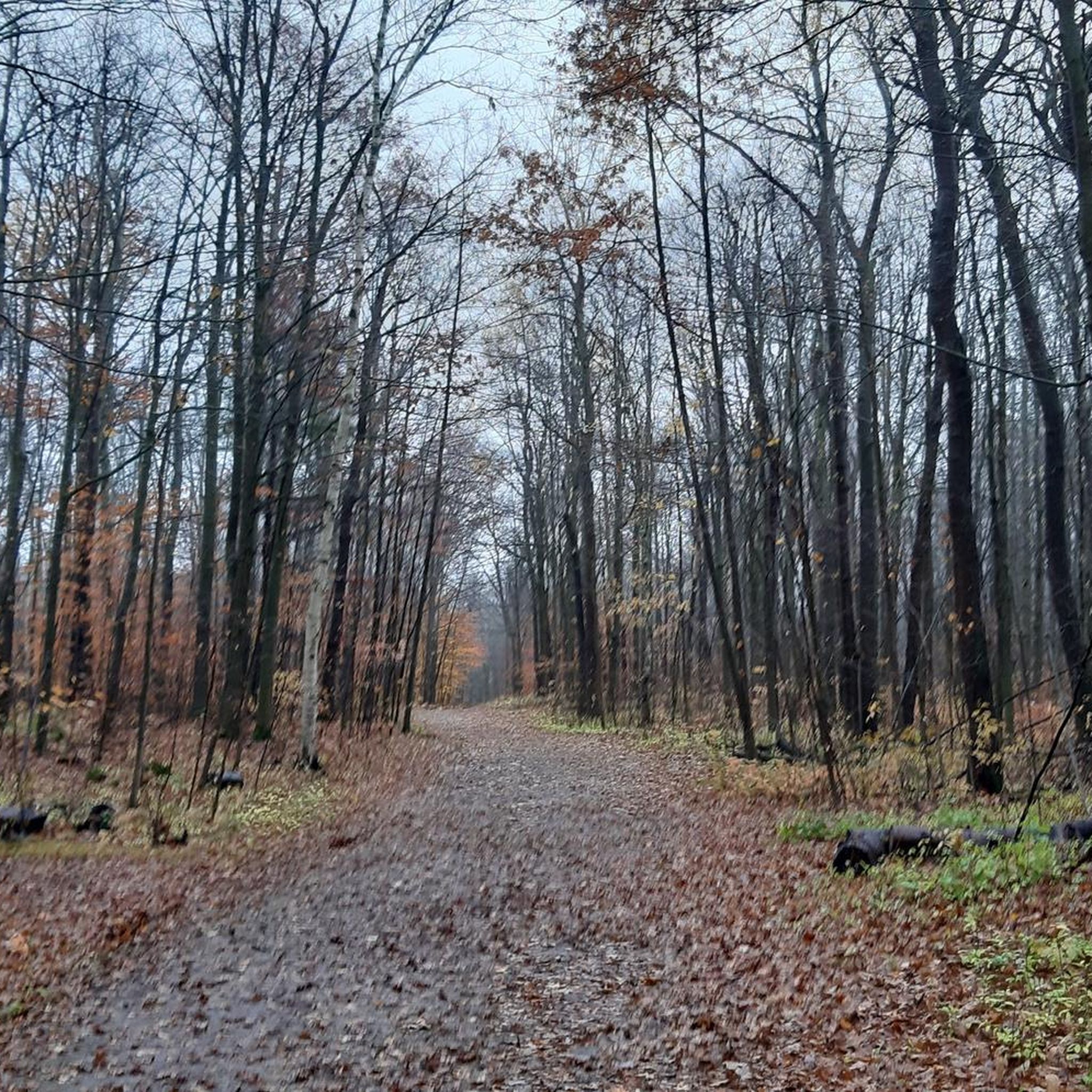
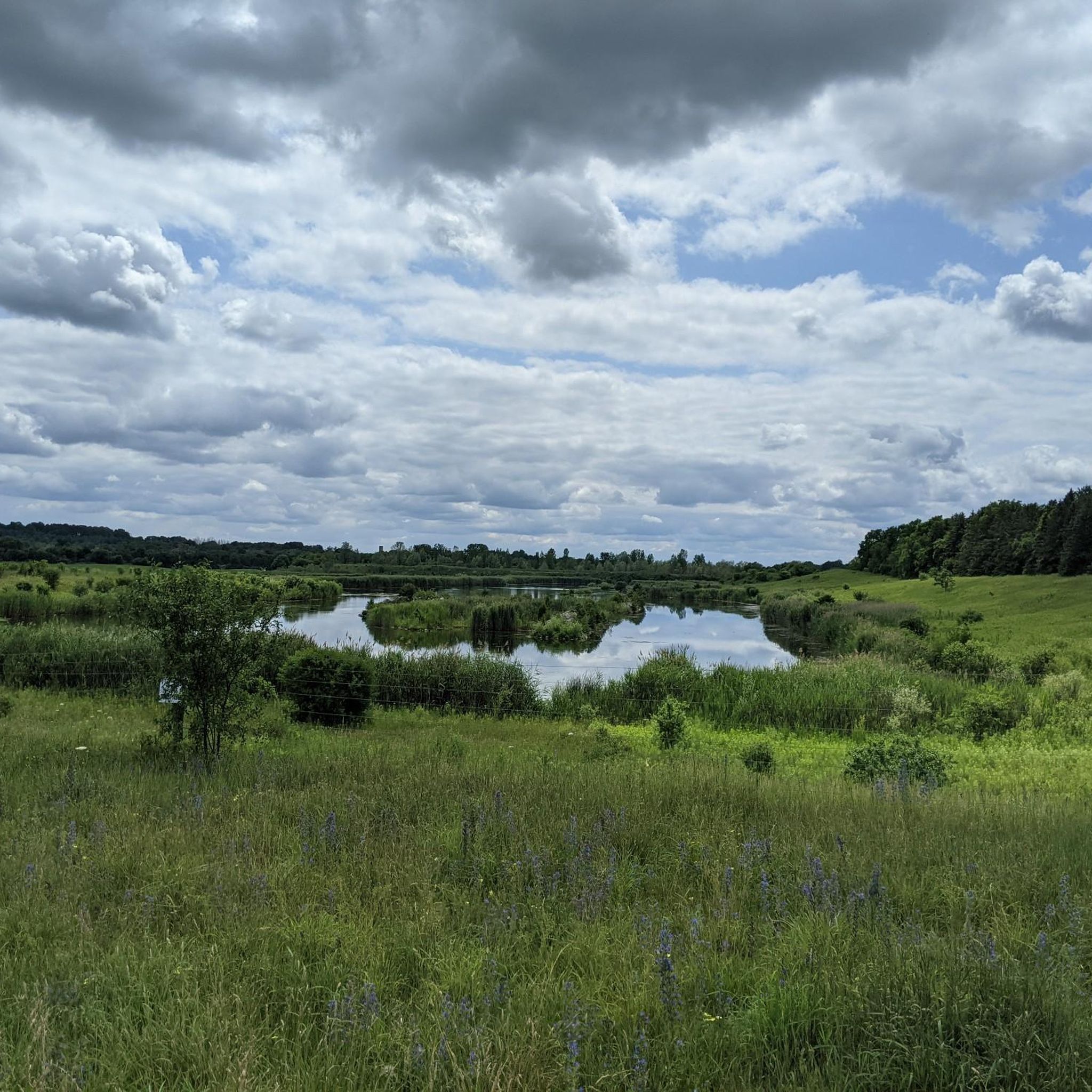
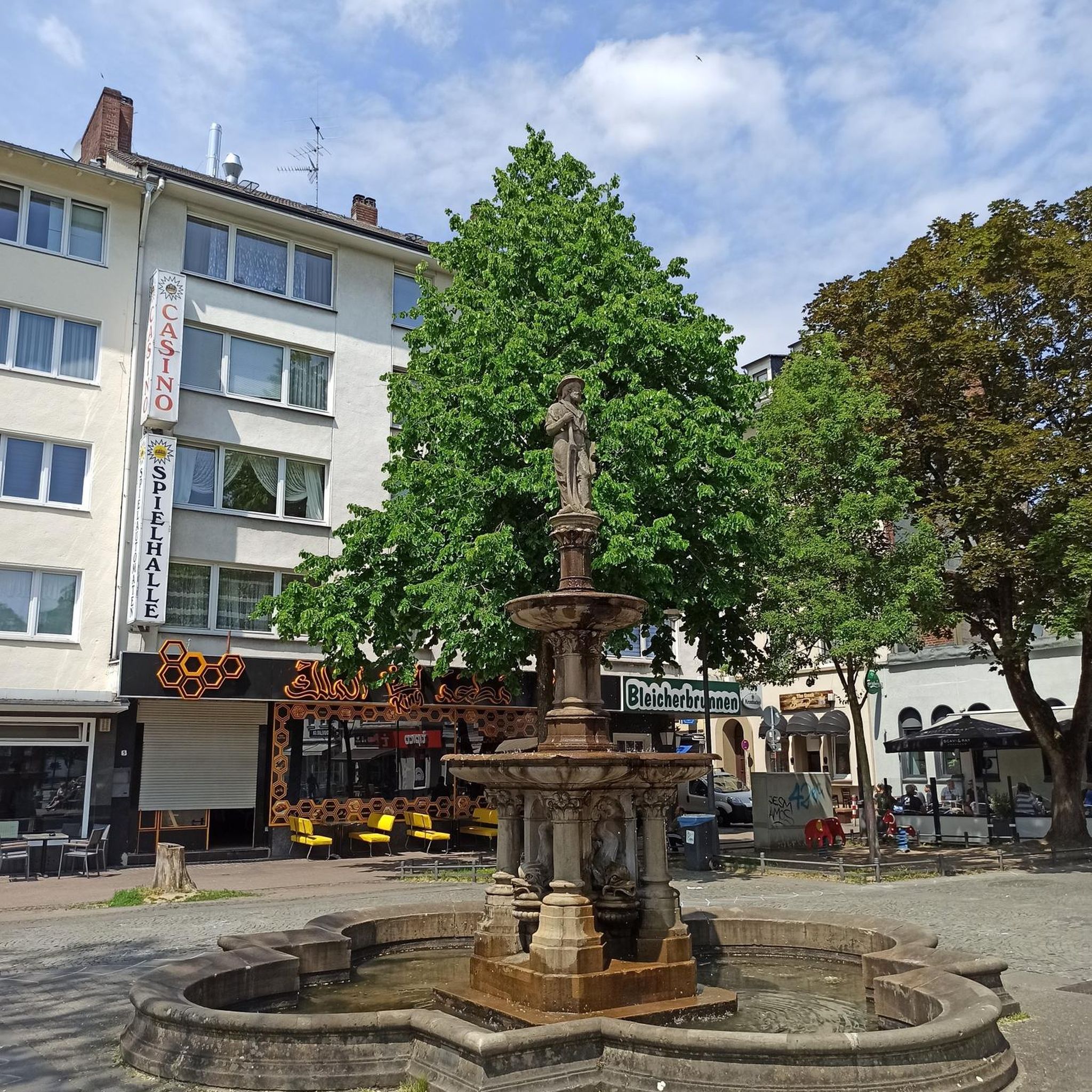
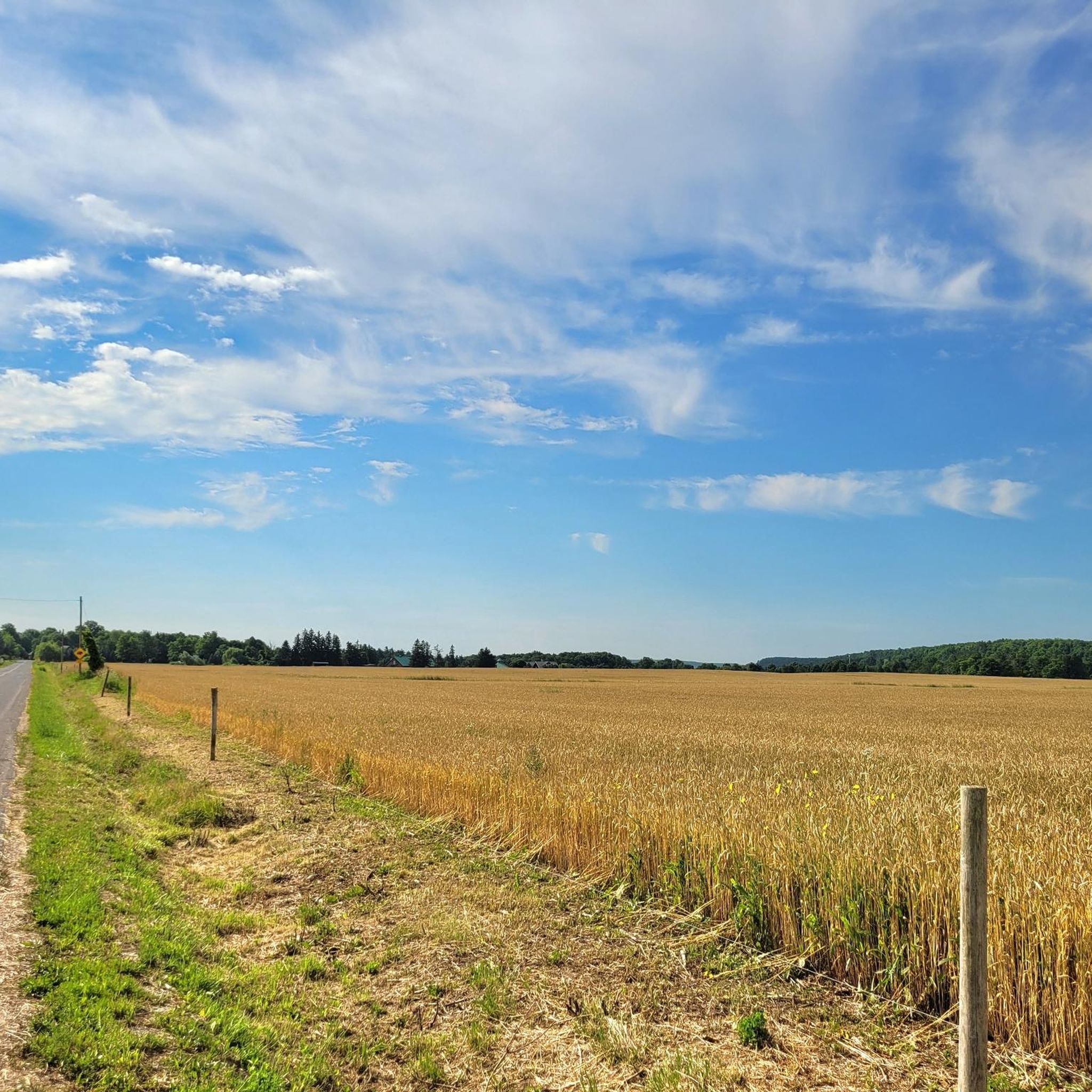
Tips from the Community

The Walter Bean Grand River Trailhead is the perfect spot to start or end a hike on either the Grand Trunk Trail or the Grand River Trail. There are maps, trash cans and a dirt parking area here, and sometimes a porta-potty, but that is not always available.
0
0

Flowing through southern Ontario’s Waterloo Region, the Speed River winds its way from its source in Orton through scenic countryside and urban green spaces before joining the Grand River at Cambridge. Along its route, the river passes parks, trails, and small tributaries, making it a favourite for walkers, paddlers, and nature lovers looking for accessible outdoor escapes.
0
0
This park is located on the Speed River just on the edge of downtown Guelph. The park has open fields, paved trails, shade structures, and an antique locomotive.
0
0

Schneider Creek winds through Kitchener, flowing past neighbourhoods, parks, and natural areas before it reaches the Grand River. Paths and green spaces follow sections of the creek, with mature trees, small bridges, and quiet pockets of nature creating peaceful places to pause along the water. Although it passes through urban areas, some sections feel surprisingly calm, with birds and other wildlife often spotted nearby.
0
0
The Arboretum is a large nature and plant conservation area at the University of Guelph, with natural forest, gardens, wetlands, and over 12 kilometres of walking trails. Visitors can explore themed plant collections, open green spaces, and natural habitats that support birdlife and seasonal wildflowers. The mix of easy walking routes and quieter wooded paths makes it a popular place for walking, nature observation, and year-round outdoor recreation.
0
0

This is where the Eramosa River flows into the Speed River, and is a prominent river confluence in the heart of Guelph. The meeting of these waterways has been a gathering place for Indigenous peoples for generations, reflecting deep cultural and spiritual connections to the land. Later, the rivers played a key role in shaping the city’s early industry, providing power for some of its first mills and businesses.
0
0
When you stand on the bridge, you can look down at the calm water flowing beneath the stone arches. It is one of the oldest and most famous landmarks in the city, and it has a very classic, old-world feel. The view from the bridge is lovely in every season.
0
0
The trail is mostly flat and easy to follow, making it a great choice for a quick morning stroll or a relaxed bike ride. The path connects different neighborhoods, providing a safe and green way to travel across town.
0
0
Frequently Asked Questions
How many touring cycling routes are available in Puslinch?
Puslinch offers a good selection of touring cycling routes, with over 20 options available for exploration.
What are the difficulty levels of touring cycling routes in Puslinch?
The routes in Puslinch cater to various skill levels. You'll find a majority of easy routes, with 15 designated as easy, and 6 moderate routes for those seeking a bit more challenge. There are no difficult routes listed.
Are there easy touring cycling routes suitable for beginners or families in Puslinch?
Yes, Puslinch is well-suited for beginners and families, with 15 easy touring cycling routes. A great option is the Bike loop from Little Lake, which is a manageable 10 km ride.
Are there more challenging touring cycling routes for experienced cyclists in Puslinch?
For experienced cyclists looking for a moderate challenge, Puslinch offers 6 routes. Consider the Speed River – Riverside Park loop from Pinebush / Tyler, a 36.7 km path that follows the Speed River, providing scenic views.
What kind of terrain can I expect on touring cycling routes around Puslinch?
Puslinch's touring cycling routes feature a landscape of gentle rolling hills, agricultural lands, and connections to local waterways like the Speed River. You'll encounter a mix of paved roads and quieter country lanes, with small lakes and village centers providing points of interest.
Are there any circular touring cycling routes in Puslinch?
Yes, many routes in Puslinch are designed as loops, offering convenient circular journeys. Examples include the popular Bike loop from Hespeler and the Guelph Farmers' Market loop from Guelph.
What natural attractions can I see along touring cycling routes in Puslinch?
While cycling around Puslinch, you can explore several natural attractions. Highlights include Crawford Lake, the scenic Hilton Falls, and the Rattlesnake Point Conservation Area, which offers stunning viewpoints.
Are there any interesting landmarks or places to explore near Puslinch's cycling routes?
Beyond natural beauty, you can discover landmarks such as the Wooden Bridge and Boardwalk. The area also offers picturesque views like the View of Rattlesnake Point and vibrant Autumn Foliage in Southern Ontario during the right season.
What do other touring cyclists say about the routes in Puslinch?
The touring cycling routes in Puslinch are highly regarded by the komoot community, boasting an average rating of 4.1 stars from over 20 reviews. Cyclists often praise the varied local scenery, the mix of paved and quiet country roads, and the accessibility of the routes for exploring Southern Ontario's countryside.
What is the best time of year for touring cycling in Puslinch?
The spring, summer, and fall months generally offer the best conditions for touring cycling in Puslinch. Spring brings fresh greenery, summer provides warm weather, and autumn showcases beautiful foliage, making these seasons ideal for enjoying the region's diverse landscapes.
Where can I find parking for touring cycling routes in Puslinch?
Many routes around Puslinch start near towns or conservation areas that typically offer parking facilities. For specific routes, checking the starting point on komoot will often provide details on nearby parking options.
Are there cafes or places to stop for refreshments along the routes?
Given the routes often pass through or near village centers and connect to areas like Guelph, you'll find opportunities for refreshments. Planning your route to include stops in these small towns will allow for breaks at local cafes or shops.
Can I spot wildlife while cycling in Puslinch?
Cycling through Puslinch's agricultural lands and along river valleys provides opportunities for wildlife spotting. Keep an eye out for local birds, small mammals, and other creatures that inhabit the rural and natural areas of the region, especially in quieter sections of the routes.
Most popular attractions around Puslinch

Get inspired with the komoot mobile app


Explore more
Browse the best Cycling routes in other regions.
