The best walks and hikes around Woolwich
4.4
(24)
481
hikers
90
hikes
Hiking around Woolwich offers diverse outdoor experiences, characterized by extensive trail networks, river valleys, and forested areas. The region features a mix of hard-packed surfaces and natural footpaths, alongside urban green spaces. Elevation changes are generally gentle, making many routes accessible for various ability levels. Woolwich's location along the River Thames and its diverse topography contribute to varied walking and hiking experiences.
Best hiking trails in Woolwich
- The most popular hiking route is Sandy Hills Trail: North and South Side loop — Sandy Hills Regional Forest, a 2.9 miles (4.7 km) trail that takes 1 hour 14 minutes to complete. This easy loop explores the varied terrain of Sandy Hills Regional Forest.
- Another top favourite among local hikers is Stanley Park Conservation Area Trail, an easy 1.8 miles (3.0 km) path. This route offers a pleasant walk through the conservation area, often completed in about 45 minutes.
- Local hikers also love the Health Valley Trail — St. Jacobs, a 1.8 miles (2.9 km) trail leading through the Health Valley, often completed in about 44 minutes.
- Hiking around Woolwich is defined by river valleys, forested trails, and urban green spaces. The network offers options for different ability levels, from easy loops to longer linear paths.
- The routes in Woolwich are highly rated by the komoot community with an average score of 4.7 stars from over 20 reviews. More than 300 hikers have used komoot to explore Woolwich's varied terrain.
Last updated: October 10, 2026
5.0
(1)
12
hikers
9.10km
02:21
40m
40m
Moderate hike. Good fitness required. Easily-accessible paths. Suitable for all skill levels.
14
hikers
7.71km
01:59
40m
40m
Easy hike. Great for any fitness level. Easily-accessible paths. Suitable for all skill levels.

12
hikers
2.90km
00:44
10m
10m
Easy hike. Great for any fitness level. Easily-accessible paths. Suitable for all skill levels.
7
hikers
6.99km
01:51
40m
50m
Easy hike. Great for any fitness level. Easily-accessible paths. Suitable for all skill levels.
5
hikers
3.30km
00:51
10m
10m
Easy hike. Great for any fitness level. Easily-accessible paths. Suitable for all skill levels.
Get access to more routes and recommendations from other explorers.
Already have an account?
Our route recommendations are based on thousands of hikes, rides, and runs completed by other people on komoot.
Start today with a free account
Your next adventure awaits.

Tips from the Community

Following the Grand River through Kitchener, Waterloo, and Cambridge, the Walter Bean Grand River Trail offers a long, scenic mix of riverside paths, forest segments, boardwalks, and open meadow views. The route connects neighbourhoods, parks, and conservation areas, with frequent access points and well-marked sections that make it easy to walk shorter pieces or cycle longer stretches. Lookouts along the river give excellent views of the water, wetlands, and seasonal wildlife, while paved portions keep the trail accessible year-round. It’s one of the region’s signature green corridors and a reliable choice for peaceful, scenic walking or cycling close to the city.
0
0

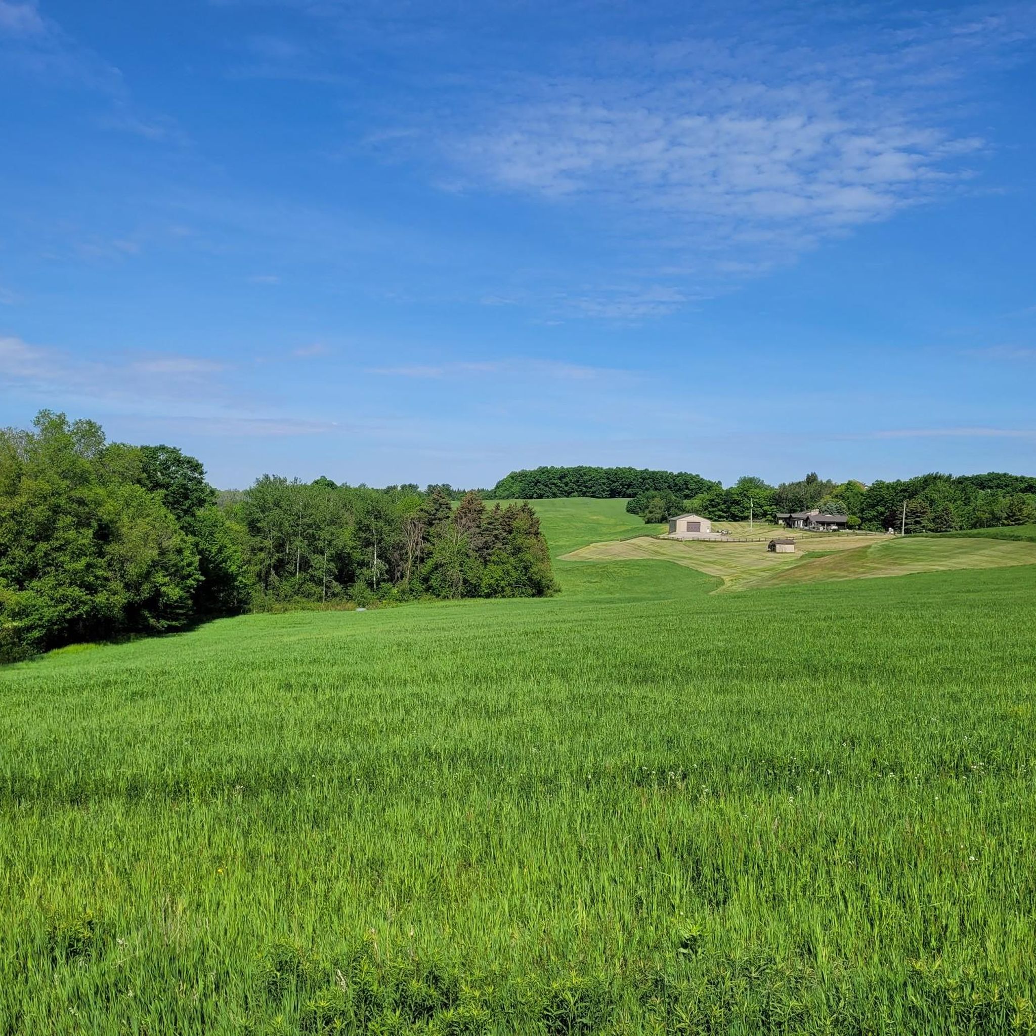
The Grand River is a major waterway that stretches nearly 280 kilometers through the southern part of Ontario. It winds past farmland, forests, and historic towns before flowing into Lake Erie. There are multiple ways to enjoy what the river has to offer such as hiking long-distance routes like the Grand Valley Trail, or paddling peaceful river stretches with access from several points. Wildlife is also abundant along its banks, making it a great pick for a nature-focused outing.
0
0

There are numerous side paths that take you to viewpoints along the water from the Avon Trail. From here, the Conestogo flows east toward its confluence with Grand River, and eventually, Lake Erie.
0
0
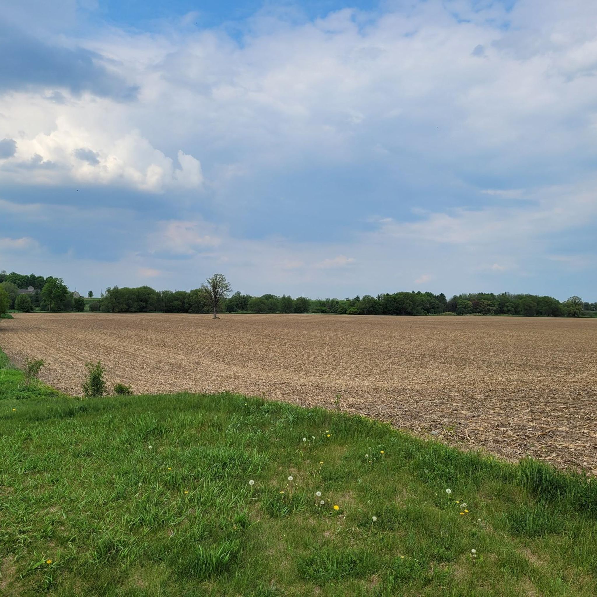
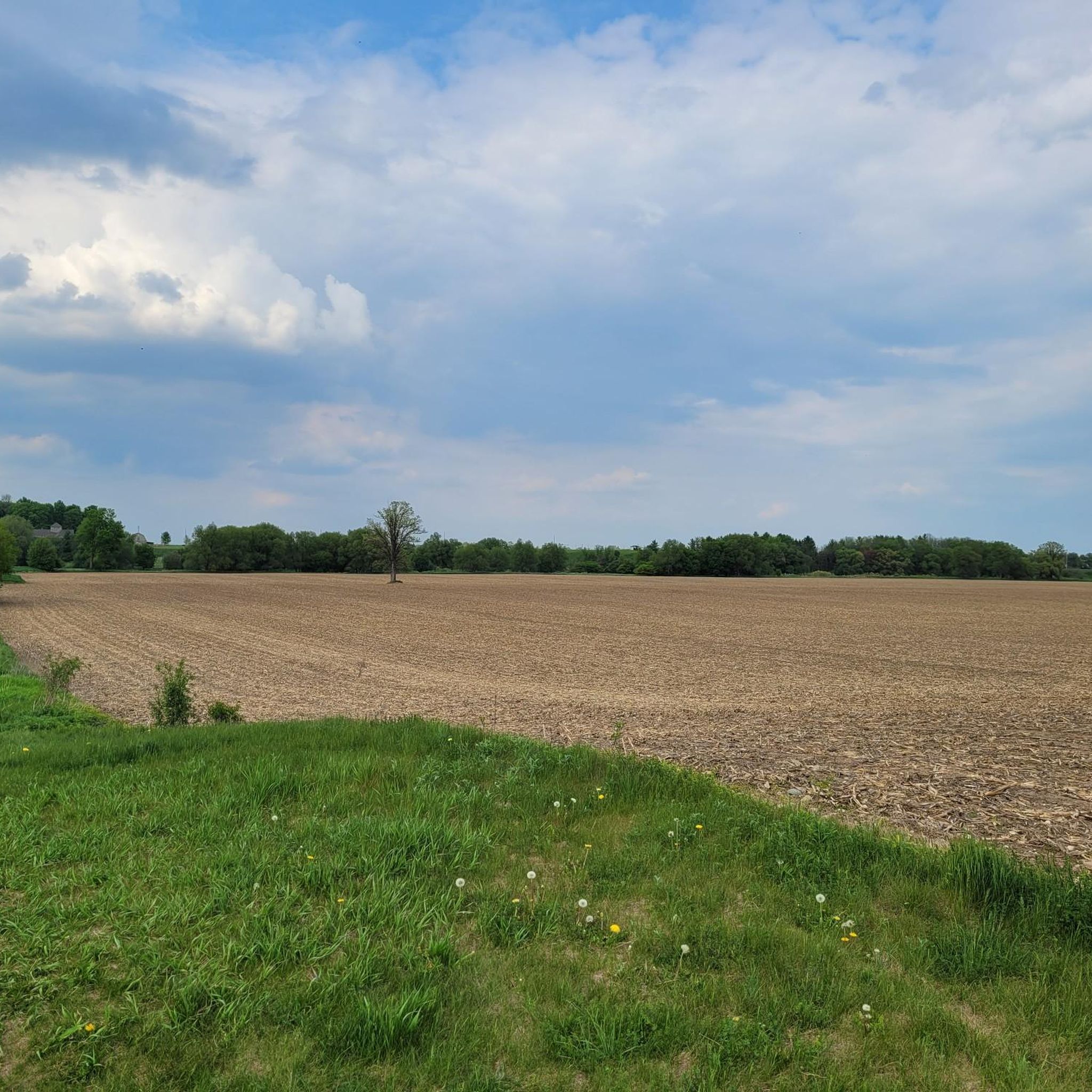
Also known as the Health Valley Trail, the path crosses a dike on the north side of the field as it leads you through farmland toward the Conestogo River. You can park along University Ave by the trail's south entrance.
0
0

As you walk, you will follow white blazes marked on the trees, which guide you through rolling hills and quiet, shaded pathways. The woods are filled with a mix of hardwoods like maple and oak, which create a beautiful canopy overhead. In the spring, you can see colorful wildflowers blooming on the forest floor, and in the autumn, the leaves turn into a sea of bright yellow and orange.
0
0
This is the north end of RIM Park and the end of the Walter Bean Grand River Trail section, but there’s no parking available here. If you’re planning to walk this route, you’ll need to park at the main RIM Park parking area that is located on Park Road. It’s a common point of confusion, so it’s worth planning ahead.
0
0
Running alongside the trail, the Grand River is the main backdrop for this entire section. For much of the route, you’re walking right beside the water, with open views in some areas and more filtered glimpses through trees in others. The river moves steadily here, and you’ll often see birds along the banks or on the water. It’s part of a much larger river system that flows south across the region toward Lake Erie, adding a quiet sense of scale to an otherwise easy, local walk.
0
0
This section of the Walter Bean Grand River Trail follows a wide, easy path alongside the Grand River, making it more of a relaxed walk or run than a traditional hike. The trail is mostly flat, with a mix of paved and gravel surfaces, and stays close to the water for much of the route. You’ll move between open parkland and shaded sections through trees, with occasional views of the river. It’s part of a much longer trail system that runs through the region, but this stretch is especially accessible and easy to follow.
0
0
Frequently Asked Questions
How many hiking trails are available in Woolwich?
Woolwich offers a wide array of hiking opportunities, with over 60 trails recorded in the komoot guide. This includes extensive networks in Woolwich, Ontario, Canada, which boasts over 100 kilometers of public trails, and urban green spaces in Woolwich, London, UK.
Are there easy hiking routes suitable for beginners or casual walkers?
Yes, Woolwich has many easy routes. Approximately 50 of the trails listed in the guide are rated as easy. An excellent option is the Stanley Park Conservation Area Trail, which offers a pleasant, gentle walk.
What kind of terrain can I expect on Woolwich hiking trails?
The terrain in Woolwich is quite varied depending on the location. In Woolwich, Ontario, you'll find hard-packed stone-dust surfaces, natural footpaths, and gravel roads, particularly along the Grand Valley Trail. In Woolwich, London, trails often traverse urban green spaces, ancient woodlands like Oxleas Woods, and riverside paths along the Thames.
Are there any circular or loop trails in Woolwich?
Yes, Woolwich offers several circular routes. A popular choice in Woolwich, Ontario, is the Sandy Hills Trail: North and South Side loop — Sandy Hills Regional Forest. In London, sections of the Capital Ring also provide loop-like experiences through green spaces.
What landmarks or points of interest can I see along the hiking trails?
Woolwich's trails offer diverse points of interest. In Woolwich, Ontario, you might encounter the historic West Montrose Covered Bridge or explore the Grand River Trail. In Woolwich, London, you can walk past the Royal Artillery Barracks, the Thames Barrier, or explore Maryon Park with its animal park.
Are there family-friendly hiking options in Woolwich?
Many trails in Woolwich are suitable for families due to their generally gentle elevation changes. The Grand Valley Trail: Idlewood Creek Loop in Ontario is an easy option, and parks like Maryon Park in London, with its animal park, are great for children.
Can I bring my dog on the hiking trails in Woolwich?
Many trails in Woolwich are dog-friendly, especially those in natural park settings. It's always recommended to keep dogs on a leash and check local regulations for specific parks or conservation areas you plan to visit.
What do other hikers enjoy most about hiking in Woolwich?
The komoot community highly rates hiking in Woolwich, with an average score of 4.7 stars from over 20 reviews. Hikers often praise the varied terrain, from river valleys and forested paths to accessible urban green spaces, and the well-maintained trail networks that cater to different ability levels.
Are there any trails that follow rivers or offer waterside views?
Yes, several trails in Woolwich offer waterside experiences. In Woolwich, Ontario, the Grand Valley Trail follows the Grand River valley, and the Health Valley Trail — St. Jacobs leads through the Health Valley. In London, the Thames Path and sections of the Capital Ring offer scenic walks along the River Thames.
What are the public transport options for accessing trails in Woolwich, London?
Woolwich in London is well-served by public transport. The Capital Ring, for example, officially starts at Woolwich Arsenal, which is accessible via the DLR, National Rail, and Elizabeth Line, making it easy to reach many local walking routes.
Where can I find parking for hiking trails in Woolwich?
Parking availability varies by location. In Woolwich, Ontario, many conservation areas and parks like Sandy Hills Regional Forest or Bechtel Park (which features the Bechtel Park Loop) typically have designated parking lots. In Woolwich, London, parking can be found near major parks and trailheads, though it may be limited in urban areas.
When is the best time of year to go hiking in Woolwich?
Hiking in Woolwich is enjoyable throughout the year, with each season offering a different experience. Spring brings blooming flora, summer offers lush greenery, and autumn provides vibrant fall colors, particularly in forested areas like Oxleas Woods in London or the regional forests in Ontario. Winter hiking is also possible, especially on well-maintained trails.
Most popular attractions around Woolwich

Get inspired with the komoot mobile app


Explore more
Browse the best Hikes in other regions.
