The best cycling routes around Whitchurch-Stouffville
4.7
(82)
738
riders
61
rides
Touring cycling routes around Whitchurch-Stouffville traverse a landscape characterized by rolling hills, extensive forests, and agricultural land. The region is shaped by the Oak Ridges Moraine, which contributes to its varied topography and provides both challenging and scenic routes. An extensive network of trails, including sections of the Greenbelt Route, connects natural features and communities. These routes offer diverse terrain for touring cyclists, from paved paths to multi-use trails.
Best touring cycling routes around Whitchurch-Stouffville
- The most popular touring cycling route is Forest Trail – Lake Wilcox loop from Aurora—Oak Ridges—Richmond Hill, an 8.9 miles (14.4 km) trail that takes 1 hour 18 minutes to complete. This easy route explores the scenic areas around Lake Wilcox.
- Another top favourite among local touring cyclists is View of Newmarket – All Our Kids Play Park loop from Newmarket, a moderate 19.0 miles (30.5 km) path. This route offers views of Newmarket and passes through varied landscapes.
- Local touring cyclists also love the Fox – Tom Taylor Trail loop from Sacred Heart Catholic High School, a 12.9 miles (20.8 km) trail leading through the Tom Taylor Trail network, often completed in about 1 hour 24 minutes.
- Touring cycling around Whitchurch-Stouffville is defined by rolling hills, extensive forests, and multi-use trail networks. The region offers options for different ability levels, from easy loops to moderate distances.
- The routes in Whitchurch-Stouffville are highly rated by the komoot community with an average score of 4.7 stars from over 80 reviews. More than 800 touring cyclists have used komoot to explore Whitchurch-Stouffville's varied terrain.
Last updated: October 15, 2026
38
riders
30.5km
01:59
120m
120m
Easy bike ride. Great for any fitness level. Mostly paved surfaces. Suitable for all skill levels.
4.7
(7)
42
riders
Easy bike ride. Great for any fitness level. Mostly paved surfaces. Suitable for all skill levels.

4.4
(5)
46
riders
Moderate bike ride. Good fitness required. Mostly paved surfaces. Suitable for all skill levels.
35
riders
Moderate bike ride. Good fitness required. Mostly paved surfaces. Suitable for all skill levels.
5.0
(3)
27
riders
39.2km
02:45
200m
200m
Moderate bike ride. Good fitness required. Mostly paved surfaces. Suitable for all skill levels.
Get access to more routes and recommendations from other explorers.
Already have an account?
Our route recommendations are based on thousands of hikes, rides, and runs completed by other people on komoot.
Start today with a free account
Your next adventure awaits.


Tips from the Community

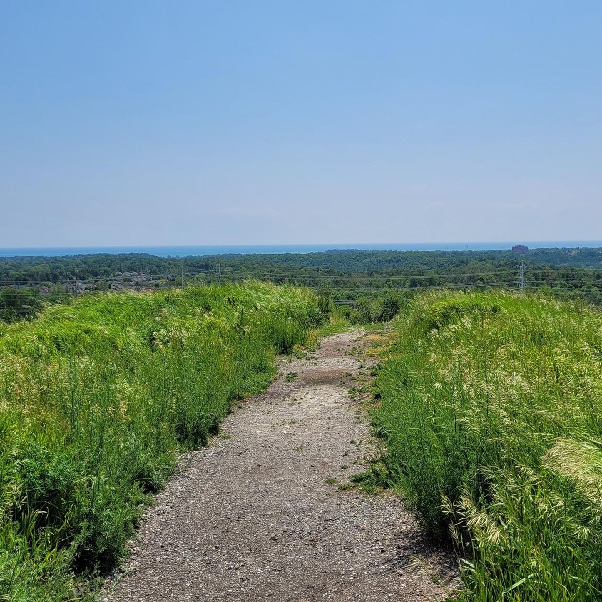
The entirety of the Rouge National Park Trail spans just over 70 kilometres, and the Major MacKenzie Section is 6.8 kilometres, stretching from 16th Avenue to Major MacKenzie Drive East, both locations having a parking area and trailhead. The other sections include Northeast Trail, Central Trail, Monarch Trail and the Harvest Trail. This section is flat with wide open views of forests, farm land, and small waterways. The trail is made of gravel and has little shade, so come prepared with sun protection.
0
0
The Major Mackenzie Parking Lot and Road Crossing is a well-maintained parking area and access to the Rouge National Urban Park Trail. The parking lot is paved and has a safe pedestrian crossing with its own designated stop light for crossings. Just a few metres north from the Major Mackenzie Parking Lot and Road Crossing is a small scenic pond. The Rouge National Park Trail skirts the pond with a well-maintained wooden boardwalk.
1
0
This wooden pedestrian and cycle bridge spans an offshoot of Little Rouge Creek. It is a great bridge to spot some wildlife while crossing.
0
0

This boardwalk allows you to walk through the marsh surrounding the Rouge River south of Highway 7. From here you can connect to several trails, including the trails in Mine Dam Park to the east.
0
0

This trailhead is located in the small community of Altona and provides access to the northern and southern sections of the Rouge National Urban Park Trail. From here, you can head east a few steps along Uxbridge-Pickering Townline Road to connect with the trail north toward Glasgow or head south to Black Walnut Day Use Area.
0
0
Rouge National Urban Park Trail is an easy, beautiful multi-use route through one of Canada’s most diverse protected landscapes, connecting forests, wetlands, meadows, and working farmland. It’s a well-maintained path with a few boardwalks that cross creeks and pass restored natural areas, with excellent opportunities to spot birds, turtles, and other wildlife. It’s a great way to experience the unique mix of nature and active farmland that makes Rouge National Urban Park unlike any other national park.
0
0
Black Walnut Day Use Area is a hub for access to several trails in Rouge National Urban Park. There is ample free parking, washrooms, water refill stations, picnic areas, and trail information, making it a convenient place to start and end your journey. From here, you can explore trails through restored wetlands, forests, and the park’s historic agricultural landscape.
0
0

The East Holland River flows through Ontario on its way to Cook's Bay on Lake Simcoe. Here, near Newmarket, the river is flanked by the Nokiidaa Trail, allowing walkers, runners, and cyclists to explore its banks.
0
0
Frequently Asked Questions
How many touring cycling routes are available in Whitchurch-Stouffville?
Whitchurch-Stouffville offers a wide selection of touring cycling routes, with over 70 options available. These routes cater to various skill levels, from easy loops to more challenging distances, exploring the region's diverse landscapes.
Are there easy touring cycling routes suitable for beginners or families?
Yes, Whitchurch-Stouffville has over 35 easy touring cycling routes. A great option for beginners or families is the Forest Trail – Lake Wilcox loop from Aurora—Oak Ridges—Richmond Hill, which is 14.4 km long and explores the scenic areas around Lake Wilcox.
What kind of landscapes can I expect to see on touring cycling routes in Whitchurch-Stouffville?
Touring cycling routes in Whitchurch-Stouffville traverse a diverse landscape shaped by the Oak Ridges Moraine, featuring rolling hills, extensive forests, and agricultural land. You'll encounter natural features like the Rouge Urban National Park and various tracts of the York Regional Forest, offering varied scenery from wetlands to meadows.
Are there any touring cycling routes that are mostly paved?
Many touring cycling routes in Whitchurch-Stouffville feature mostly paved surfaces, making them accessible for a wide range of cyclists. Multi-use trails like the Rouge Valley Trail also offer a mix of paved and crushed gravel paths, providing smooth riding through diverse scenery.
What are some scenic viewpoints or attractions I can visit along the touring cycling routes?
Cyclists can enjoy several scenic stops and attractions. The Wilcox Lake Promenade offers beautiful lake views, while Milne Dam is an important flood control structure with access to river habitats. The Oak Ridges Corridor Conservation Reserve also provides natural beauty along some routes.
Are there any cafes or amenities along the cycling routes in Whitchurch-Stouffville?
Yes, the town is cycling-friendly. You can find places like Red Bulb Coffee Bar in Stouffville, known for its outdoor seating, and Annina's Bakeshop & Café. These spots offer convenient breaks and refreshments during your ride.
What is the best time of year for touring cycling in Whitchurch-Stouffville?
The best time for touring cycling in Whitchurch-Stouffville is generally from spring through fall, when the weather is mild and the natural landscapes are at their most vibrant. The extensive trail network is popular during these seasons, offering pleasant conditions for exploring.
Are there any longer touring cycling routes for experienced cyclists?
For those seeking longer rides, Whitchurch-Stouffville offers several moderate routes. The Gabi's Kitchen loop from Stouffville is a substantial 54.4 km route, providing a good challenge with varied terrain.
What do other touring cyclists enjoy most about cycling in Whitchurch-Stouffville?
The area is highly rated by the komoot community, with an average score of 4.7 stars from over 80 reviews. Reviewers often praise the region's varied terrain, the extensive network of multi-use trails, and the scenic beauty of the rolling hills and forests.
Are there any circular touring cycling routes available?
Yes, many touring cycling routes in Whitchurch-Stouffville are designed as loops, allowing you to start and end at the same point. Examples include the View of Newmarket – All Our Kids Play Park loop from Newmarket and the Fox – Tom Taylor Trail loop from Sacred Heart Catholic High School, offering convenient exploration.
Does the Greenbelt Route pass through Whitchurch-Stouffville?
Yes, the Greenbelt Route, a signed cycling adventure spanning over 475 km, traverses through Whitchurch-Stouffville. This route encourages cyclists to explore the protected countryside of Ontario's Greenbelt, with several local cycling routes branching off to connect to other communities.
Where can I find parking for touring cycling routes?
Many trailheads and conservation areas in Whitchurch-Stouffville offer designated parking facilities. For specific routes, it's advisable to check the individual route details on komoot, as parking information is often provided there to help you plan your starting point.
Most popular routes around Whitchurch-Stouffville
Most popular attractions around Whitchurch-Stouffville

Get inspired with the komoot mobile app


Explore more
Browse the best Cycling routes in other regions.
