The best cycling routes around Val-des-Monts
4.6
(216)
858
riders
37
rides
Touring cycling routes around Val-des-Monts, Quebec, traverse a landscape characterized by mountainous forests and numerous lakes. The region's terrain includes both paved and unpaved segments, offering a mix of rolling hills and steeper climbs. Val-des-Monts provides diverse natural features for touring cyclists, with routes catering to various skill levels.
Best touring cycling routes around Val-des-Monts
- The most popular touring cycling route is Lac Leamy River Access – Théâtre de l'Île loop from Gatineau, a 20.5 miles (33.0 km) trail…
Last updated: October 18, 2026
4.9
(19)
51
riders
Moderate bike ride. Good fitness required. Mostly paved surfaces. Suitable for all skill levels.
4.7
(26)
39
riders
42.4km
02:35
200m
200m
Moderate bike ride. Good fitness required. Mostly paved surfaces. Suitable for all skill levels.

32
riders
Hard bike ride. Very good fitness required. Mostly paved surfaces. Suitable for all skill levels.
4.7
(12)
32
riders
23.3km
01:22
90m
90m
Easy bike ride. Great for any fitness level. Mostly paved surfaces. Suitable for all skill levels.
4.7
(6)
24
riders
Easy bike ride. Great for any fitness level. Mostly paved surfaces. Suitable for all skill levels.
Get access to more routes and recommendations from other explorers.
Already have an account?
Our route recommendations are based on thousands of hikes, rides, and runs completed by other people on komoot.
Start today with a free account
Your next adventure awaits.


Tips from the Community

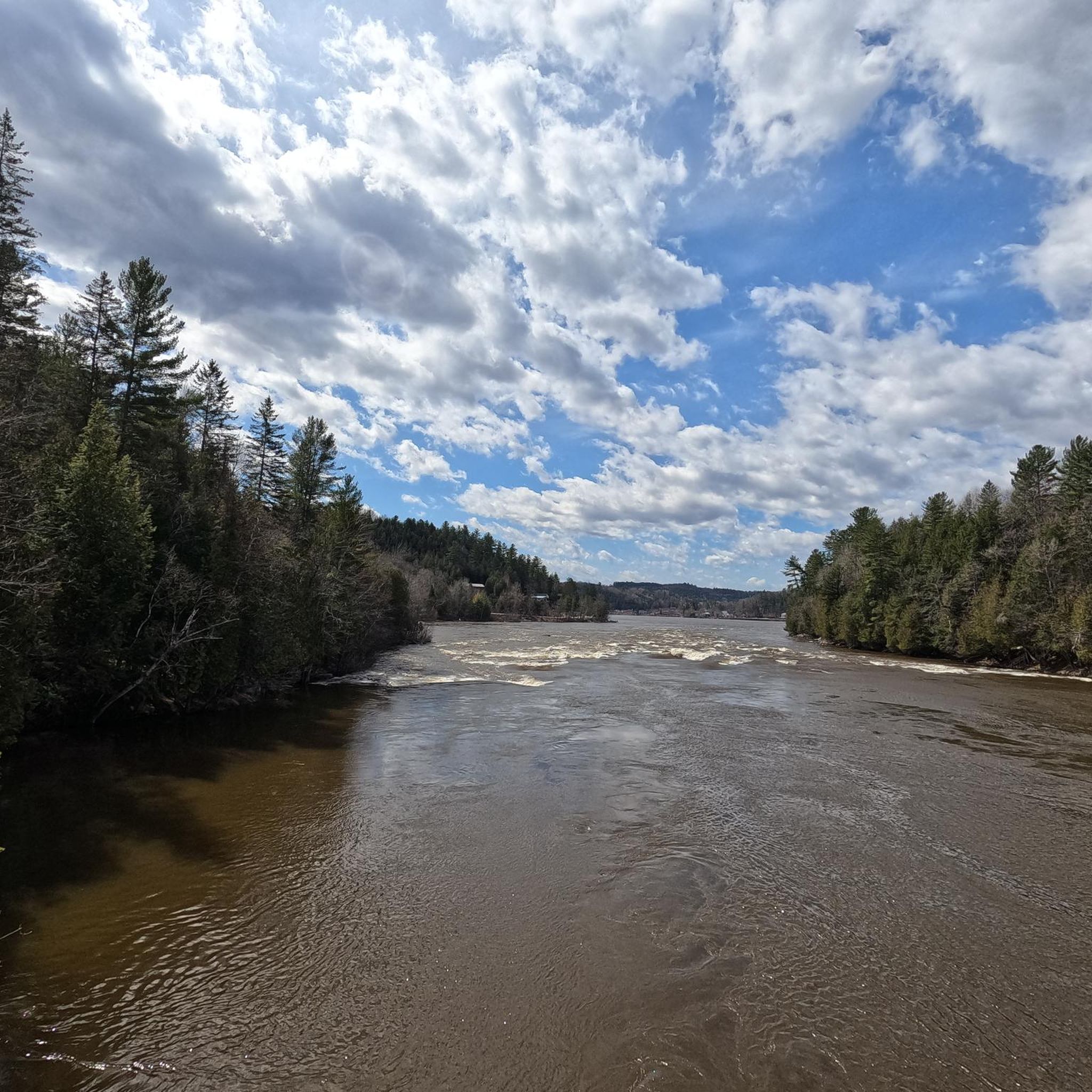
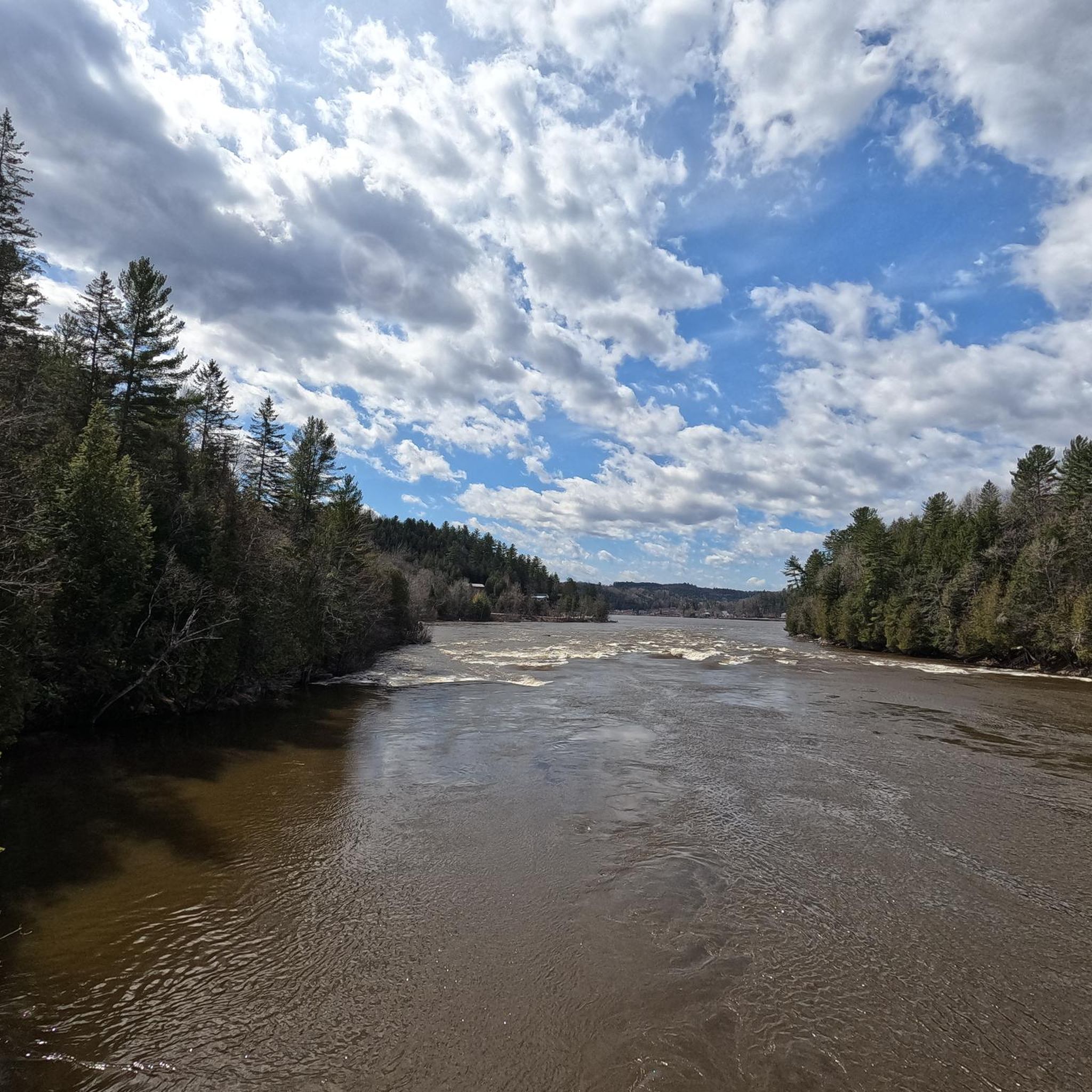
This is the end of the Gatineau River, which flows for 386 kilometres through Quebec to join with the Ottawa River at this point. The Gatineau is around 200 metres across at its confluence, which you can see from a little beach here by the path.
0
0

Spanning the Ottawa River between Ottawa and Gatineau, the Champlain Bridge provides wide views across one of Canada's most important waterways. From here you can watch boats navigating the river, spot waterbirds along the shoreline, and take in views of wooded islands and the surrounding riverbanks. Opened in 1928 and rebuilt in the early 1970s, the bridge remains a key link between Ontario and Quebec while offering a unique perspective over the Ottawa River's broad channel.
0
0

The highlights of this walk are the multiple wooden footbridges that elevate you right over the waters. The bridges act as excellent viewing platforms. From them, you can look out for rare northern map turtles basking on the rocks or spot some of the 180 bird species that visit the park.
0
0
The beautiful sandy beach acts as the perfect starting point or resting spot for a day on your feet. You can explore an extensive network of flat, paved, and dirt pathways that wind around the lake.
0
0
This flat, paved 2.4-kilometer loop wraps completely around Leamy Lake and takes roughly 45 minutes to walk. Because the path is wide and entirely paved, it is an effortless walk where you can focus entirely on the beautiful views of the water and the surrounding cityscape rather than watching your footing.
0
0

Parc Moussette Beach is a free waterfront park with a long stretch of sand, reaching over 400 meters, and plenty of room for large groups. There's a swimming area with summer lifeguards typically keeping an eye on swimmers from Monday to Friday, 10:00 am to 8:00 pm, and Saturday to Sunday, 10:00 am to 7:00 pm.
1
0
Lac Leamy Beach is the perfect summer getaway, with a beach, shaded picnic areas, restrooms, and a swimming area. Refill your water bottle at a public water fountain, or take a break underneath the expansive shade structures, and to cool off even more, take a dip in the water. The park is open 7 days a week from 5:00 am to 10:00 pm.
1
0
From this point on the Sentier des Voyageurs, you get one of the clearest views of Parliament Hill across the Ottawa River. With the river directly in front of you and the historic buildings rising on the opposite bank, the perspective here places you almost perfectly across from the Peace Tower and the main Parliament complex. It’s one of the best spots along the trail to pause and take in the iconic skyline of Canada’s capital.
0
0
Frequently Asked Questions
What types of touring cycling routes can I find in Val-des-Monts?
Val-des-Monts offers a diverse range of touring cycling routes, catering to various skill levels. You'll find everything from easy rides to more challenging, advanced courses. The terrain often includes a mix of paved and unpaved segments, characterized by mountainous forests and numerous lakes.
Are there any easy touring cycling routes suitable for beginners or families?
Yes, Val-des-Monts has several easy touring cycling routes. For instance, the Bay Park – Leamy Lake Beach loop from Gatineau is an easy 24.1 km path with minimal elevation gain. Another great option is the Lac Leamy River Access – Leamy Lake Beach loop from Le Gallois/De La Plaine, which covers 25.3 km and is also rated as easy.
What are some challenging touring cycling routes in the Val-des-Monts area?
For experienced cyclists seeking a challenge, the Wakefield Covered Bridge loop from IGA - Chelsea is a demanding 47.6 km route with over 500 meters of elevation gain. The broader region also offers a challenging 160 km route from Gatineau Park to Val-des-Monts, featuring approximately 2,400 meters of elevation gain through rolling hills and steep climbs.
What kind of natural features and landmarks can I expect to see along the cycling routes?
Val-des-Monts is known for its picturesque landscapes, including abundant mountain forests and numerous lakes like McGregor Lake. Along your rides, you might encounter interesting landmarks such as the Wakefield Spring, a natural ground-water spring, or the scenic Paugan Dam on the Gatineau River, which can be crossed by bike.
Are there any circular touring cycling routes in Val-des-Monts?
Yes, many of the touring cycling routes in the Val-des-Monts area are designed as loops. Examples include the Lac Leamy River Access – Théâtre de l'Île loop from Gatineau (33.0 km) and the Jacques-Cartier Promenade – Alexandra Bridge loop from Gatineau (43.0 km). These loops allow you to start and end at the same point, offering varied scenery throughout your ride.
What is the best time of year for touring cycling in Val-des-Monts?
The best time for touring cycling in Val-des-Monts is generally during the warmer months, from late spring to early autumn. This period offers pleasant temperatures and allows you to fully enjoy the region's natural beauty, including its mountain forests and lakes. Autumn also provides stunning fall foliage.
What do other touring cyclists say about the routes in Val-des-Monts?
The touring cycling routes around Val-des-Monts are highly regarded by the komoot community, with an average rating of 4.38 stars from over 170 reviews. Cyclists often praise the varied terrain, the beautiful natural scenery, and the options available for different ability levels.
Are there places to park near the touring cycling trails in Val-des-Monts?
While specific parking information for every trailhead isn't always available, many routes in the Val-des-Monts area, especially those starting from nearby towns like Gatineau or Chelsea, typically have designated parking areas or street parking options. It's advisable to check the specific route details on komoot for parking suggestions.
What kind of terrain should I expect on Val-des-Monts touring cycling routes?
The terrain in Val-des-Monts is quite varied, reflecting its 'valley of mountains' name. You can expect a mix of paved roads and unpaved segments. Routes often feature rolling hills and some steeper climbs, particularly on more advanced trails, offering a good workout and diverse riding experience.
Are there any facilities like cafes or pubs near the cycling routes in Val-des-Monts?
While Val-des-Monts is primarily a natural area, routes that pass through or near smaller communities or start from towns like Gatineau or Chelsea will likely have access to cafes, pubs, and other amenities. The Wakefield Spring is a notable rest stop providing fresh water.
How many touring cycling routes are available in the Val-des-Monts region?
There are over 40 touring cycling routes available in the Val-des-Monts region, offering a wide selection for cyclists. These routes are categorized by difficulty, with 18 easy, 19 moderate, and 5 difficult options to choose from.
Most popular attractions around Val-des-Monts

Get inspired with the komoot mobile app


Explore more
Browse the best Cycling routes in other regions.
