The best road cycling routes around McKellar Township
29
riders
3
rides
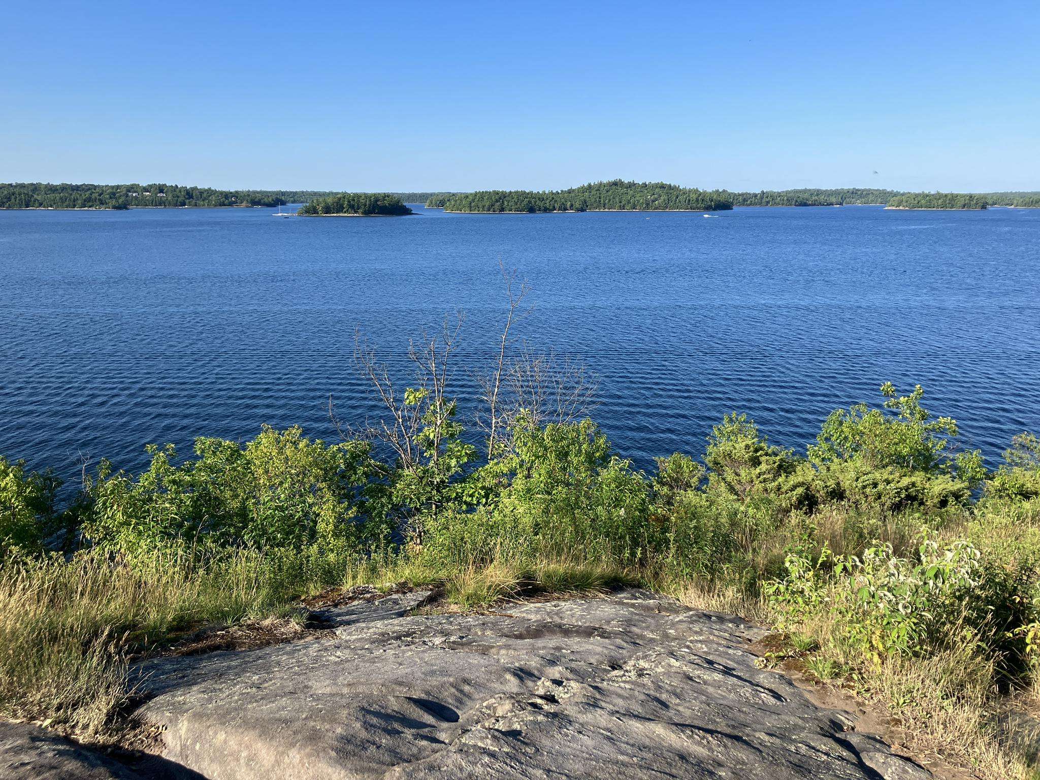
Road cycling routes around McKellar Township traverse a landscape characterized by numerous lakes and rivers, offering varied terrain for cyclists. The region features a mix of rolling hills and forested areas, with moderate elevation changes. Road surfaces typically consist of paved roads connecting small communities and natural features. This environment provides a setting for road cycling that combines natural scenery with accessible routes.
Best road cycling routes around McKellar Township
- The most popular road cycling route is Parry Sound Bikes…
Last updated: October 18, 2026
13
riders
51.3km
02:29
330m
330m
Moderate road ride. Good fitness required. Mostly well-paved surfaces and easy to ride.
9
riders
39.1km
01:55
270m
270m
Moderate road ride. Great for any fitness level. Some segments of this route may be unpaved and difficult to ride.

7
riders
109km
05:03
620m
620m
Hard road ride. Very good fitness required. Mostly well-paved surfaces and easy to ride.
Our route recommendations are based on thousands of hikes, rides, and runs completed by other people on komoot.
Start today with a free account
Your next adventure awaits.
Frequently Asked Questions
What is the general difficulty level of road cycling routes in McKellar Township?
McKellar Township offers a range of road cycling routes, primarily featuring moderate and difficult ability levels. Out of the available routes, 4 are considered moderate and 2 are difficult, providing options for cyclists with varying experience.
Are there any longer road cycling routes for experienced cyclists in the area?
Yes, for experienced cyclists looking for a challenge, routes like the Parry Sound Bikes loop from Parry Sound cover a substantial 113.5 km with over 800 meters of elevation gain. Another demanding option is the Armstrong Lake – Ainslie Lake loop from Magnetawan, which spans 109.5 km.
What kind of terrain can I expect on road cycling routes around McKellar Township?
The road cycling routes in McKellar Township traverse a landscape characterized by numerous lakes and rivers. You can expect a mix of rolling hills and forested areas, with moderate elevation changes. Road surfaces are typically paved, connecting small communities and natural features, offering a blend of natural scenery and accessible routes.
Are there any road cycling routes that offer views of lakes or rivers?
Many routes in McKellar Township wind past lakes and rivers. For instance, the Roadbike loop from Lorimer Lake offers scenic views of Lorimer Lake and its surrounding woodlands. The Roadbike loop from Manitouwabing River also leads through picturesque riverine landscapes.
How many road cycling routes are available in McKellar Township?
There are over 5 road cycling routes available for exploration in McKellar Township, catering to various skill levels and distances.
What is the typical duration for a road cycling tour in this region?
The duration of road cycling tours in McKellar Township varies depending on the route and your pace. For example, a moderate route like the Roadbike loop from Manitouwabing River typically takes about 1 hour 55 minutes, while longer routes can extend to over 5 hours.
Are there any loop road cycling routes in McKellar Township?
Yes, many of the road cycling routes in McKellar Township are designed as loops, allowing you to start and end at the same point. Examples include the popular Parry Sound Bikes loop from Simmes Lake and the Roadbike loop from Lorimer Lake.
What is the best time of year for road cycling in McKellar Township?
Given the region's characteristics of lakes, rivers, and forested areas, summer is generally an excellent time for road cycling in McKellar Township, offering pleasant weather to enjoy the natural scenery. Spring and fall can also be beautiful, though conditions may vary.
What do other road cyclists enjoy most about road cycling in McKellar Township?
Over 50 road cyclists have used komoot to explore McKellar Township's varied terrain. They often praise the network of roads winding past lakes and rivers, and through forested areas, which provides a combination of natural beauty and accessible routes for both moderate and difficult ability levels.
Are there any road cycling routes that are particularly scenic?
The region is known for its scenic beauty. The Parry Sound Bikes loop from Simmes Lake offers a substantial distance through the local lake district, providing many picturesque views. Similarly, the Roadbike loop from Lorimer Lake is noted for its views of the lake and surrounding woodlands.
What are the elevation changes like on road cycling routes in McKellar Township?
Road cycling routes in McKellar Township feature moderate elevation changes, with rolling hills rather than steep climbs. For example, a route like the Parry Sound Bikes loop from Simmes Lake has an elevation gain of approximately 565 meters over its 64.2 km distance, providing a good workout without extreme ascents.

Get inspired with the komoot mobile app


Explore more
Browse the best Road cycling routes in other regions.
